The Mountains of Arizona
• www.surgent.net
|
| Cerro Gordo Mountain |
• Springerville Volcanic Field • White Mountain Apache Nation • Apache County |
|
Date: May 26, 2023
• Elevation: 9,161 feet
• Prominence: 801 feet
• Distance: 6.5 miles
• Time: 2 hours, 30 minutes
• Gain: 961 feet
• Conditions: Cool and sunny
Arizona
•
Main
•
PB
•
LoJ
•
USGS BM Datasheet
•
Interactive map
Cerro Gordo Mountain is one of the many dozen volcanic mounds on the Springerville Volcanic Field between Show Low and Springerville, north of White Mountain in eastern Arizona. It lies a few miles northeast of the town of McNary on the White Mountain Apache Nation, the peak itself inside the reservation boundary abutting the Apache-Sitgreaves National Forest. The name means "Fat Hill". I was last here in this immediate area in May of 2020 when I climbed a trio of peaks nearby.
This was to be the first peak of a three-day mini-vacation to Springerville, my first time in these parts since 2020 and in some areas, much longer than that. I wanted to climb a bunch of 9,000-foot elevation peaks, and then whatever else came to mind. I also wanted to be moving as close to dawn as possible because I had other peaks on my agenda and wanted to take advantage of whatever time I could. The weather was expected to be calm, clear, no storms, but possibly a lot of wind, which is common up here.
I left Tempe at 2:20 a.m., heading east on US-60 through Globe, then more northbound on US-60 down into and up out of the Salt River Canyon Gorge, all this while pitch black. The sky started to brighten ever so slowly about the time I was north of the Salt River, now on the White Mountain Apache Nation. I could stay on US-60 into Show Low than double back to McNary via AZ-260, or take AZ-73 through Whiteriver and catch AZ-260 there. It probably was shorter mile-wise to go through Show Low, but I chose the AZ-73 route just for variety sake. I've only been on this highway one other time that I can recall.
The drive went well and I was in McNary about 6 a.m.. I went north on the main road through town, entering onto the Apache-Sitgreaves forest, the road now FR-224 (says the maps). It's the only major road going north. A few miles later, I turned onto FR-96 near Wishbone Mountain, then a couple more miles onto scanter FR-9835. I parked just short of a big mudpit, roughly centered in the little meadow here east of Pierce Mountain.
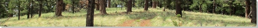
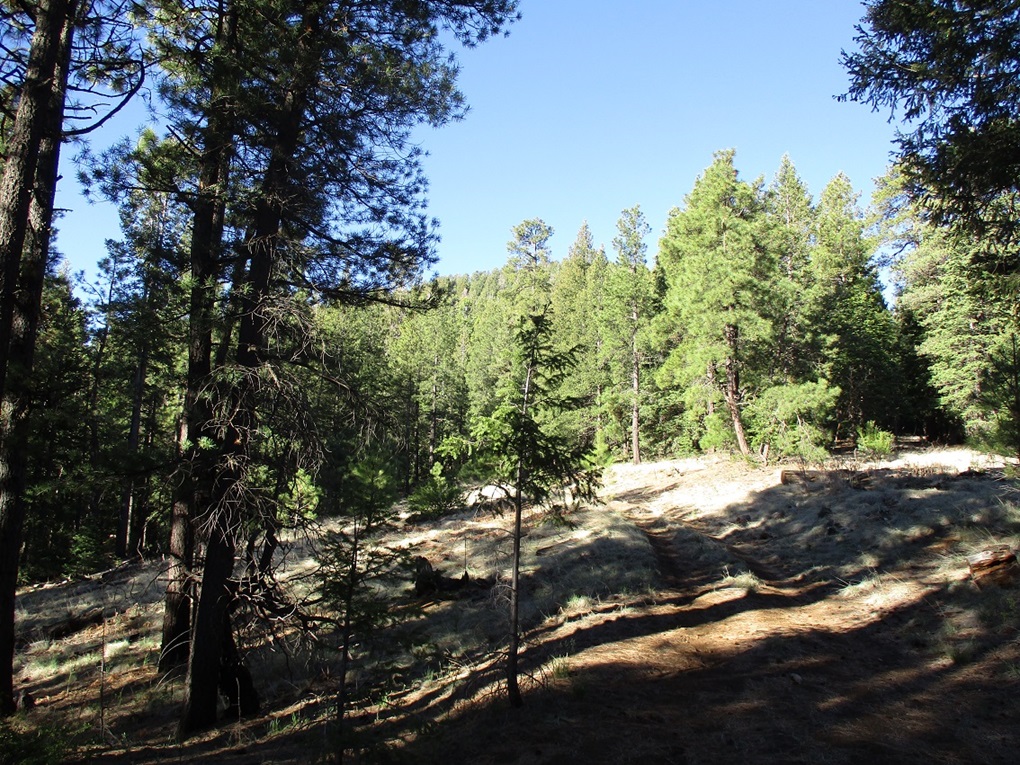
I got properly dressed and situated, locked up the car and started walking at 6:20 a.m.. I followed the road southeast as it aimed for the reservation boundary, gaining elevation ever so slowly. A half mile of walking and I was at the boundary fence. I found a spot to ease through, then picked up the road on the other side. It eventually comes to a saddle about a mile in from where I parked, a 180-foot gain. So far so good. It was cool and breezy and I was in thick forest.
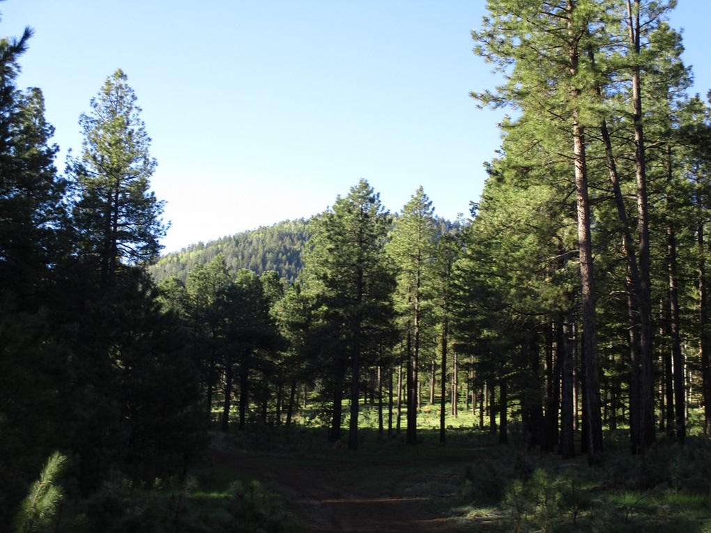
At the saddle, another road continues south and eventually all the way to the summit. This road was in good shape, but there was some deadfall early on, some of it looked old, which tells me they don't ever clear it and certainly no one ever drives these roads any more. But for walking, the road was more then adequate. It was pitched at a lenient grade. I made good time, walking quickly. Around every blind bend I'd bang my sticks and make hollers in case there was a bear there.
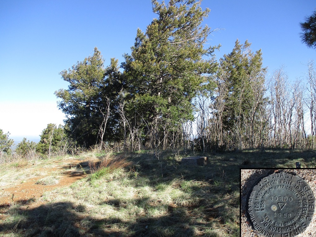
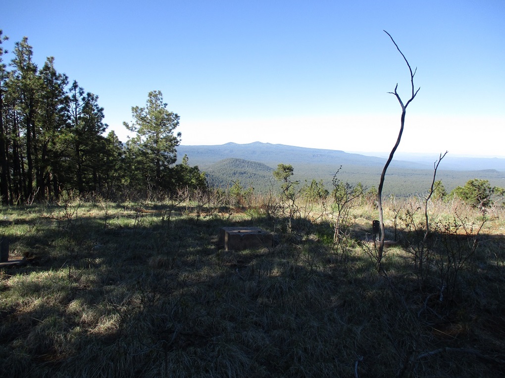
The road swings around the south and west faces of the peak, then makes two long switchbacks before its final push to the top. I was on the summit a little over an hour after starting, which meant I was moving fast, the one-way hike covering a little over three miles. There used to be a lookout tower up here but all that remains are the concrete piers. The benchmark was affixed to a concrete pad a few feet away. Trees blocked views except to the south, where I could see the higher foothills of White Mountain.
I could not locate a register, nor did I linger. It was very windy up here and cold, too. I stopped briefly to drink, but didn't stay long, maybe a couple minutes at most. The hike down went well too. I had considered cutting off some distance by cutting the switchback corners, but decided not to. The road was excellent for walking, and the slopes were rather steep otherwise. I was perfectly happy with the road.
I was back to my car a little before 9 a.m., a 2-hour, 30-minute round trip hike covering almost 6.5 miles. The hike had been a success and I was pleased to get one into the books, and particularly pleased because I wanted this one. It had been in my general plans when I lived in Payson but once I left there, I stopped going back to the Show Low area.
Next up, I wanted to take a look at Boundary Butte, another 9,000-footer former lookout peak on the Reservation a few miles to the east. However, I hit some confusing roads as I got closer and decided to bail and come back another time when I could combine it with others. Instead, I backed all the way out to McNary, then headed east on AZ-260 to the Sunrise Ski Area. Today was the first day they were selling "summer" day passes, so I bought one to take the chair lift up to the higher peaks where I could then climb Peak 10932 next.
|

|