The Mountains of Arizona
www.surgent.net |
|
Peak 5328 (Sierra Ancha) • Peak 3907 (Salt River Mountains) I was back in Globe for my Wednesday between teaching duties. The weather is warming now, so anything in the lower deserts is curtailed, or shut out until next fall. I had one main peak in mind, Peak 5328 in the southern Sierra Ancha. I had two others on the agenda assuming I had the time and the weather behaved. I was essentially filling in holes on my map, hiking peaks I had ignored on earlier trips. After my Tuesday class ended, I hit the road, stopped for groceries in Globe, then took AZ-188 north to the AZ-288 junction, going north on AZ-288. My plan was to camp at the Upper Salt River Recreation Area. This is not a developed campground, but overnight parking is allowed. I camped here once before. I rolled in about 9:20 p.m., and it was still very warm, about 80°. The bugs were incredible. Any light on my car's dashboard or my phone attracted every bug in a ten-foot radius. One flew into my eye! After ten minutes, I gave up and drove an extra 18 miles up the AZ-288 into the southern foothills of the Sierra Ancha. I found a big cleared area and pulled into it. This would be my campsite for the night. I did not expect any cars to be coming this way during the night. I was above 4,000 feet elevation, it was 15° cooler, and there were almost no insects. The night was calm and clear. The moon rose at about 10:30 p.m. and lit everything up nicely. At 12:45 a.m., a vehicle comes rolling into the gravel lot right at me. Its lights shone into my front. It had to be within ten feet of me. It was a big pickup truck, but I couldn't see anything else such as markings. Police? I don't know. The truck then parked at the far end of the lot but the driver never turned off the engine. It stayed there about fifteen minutes. It was too dark for me to see anything. I sat up and just watched it. I wasn't scared, but I was a little annoyed as well as very curious. Then the truck took off, going down the hill. I was on a little adrenaline rush and it took awhile for it to subside. I was able to get some sleep but it wasn't productive. My conclusion is that it was a police vehicle wondering why a car (me) was parked where it was. But I didn't like it whatever the case. I was up at dawn and on the move by 5:30 a.m.. My first peak was just up the road.
Date: April 16, 2025 (22/42/452)
• Elevation: 5,328 feet (732 − 12) ✳
• Prominence: 333 feet ✳
• Distance: 6.3 miles
• Time: 2 hours, 40 minutes
• Gain: 1,010 feet (gross)
• Conditions: Sunny and cloudless, cool for now
Arizona
•
Main
•
PB
•
LoJ
•
Lidar
I drove about two miles, past milepost 277 (and possibly past 278, I either missed it or it wasn't there). I was looking for Tonto Forest Road 488. I found it, as it comes up fast, a brief opening in the brush and trees where the road drops down.
I drove in on FR-488. It descends about 30 feet to a bridge spanning a small creek (Parker Creek). I crossed it, now the road bending to the south. Naturally, I hoped I could drive some of it before parking, but no such luck. I got in about a hundred more feet before being stopped by some bad erosion. I backed into an open camping spot and parked.
The sun was still low in the east and blocked by the mountains all around me. I was in a small and tight canyon in heavy tree cover. It was chilly but not cold, in the high 50s. Forecasts said it would be about 80° in Globe, so about the same here.
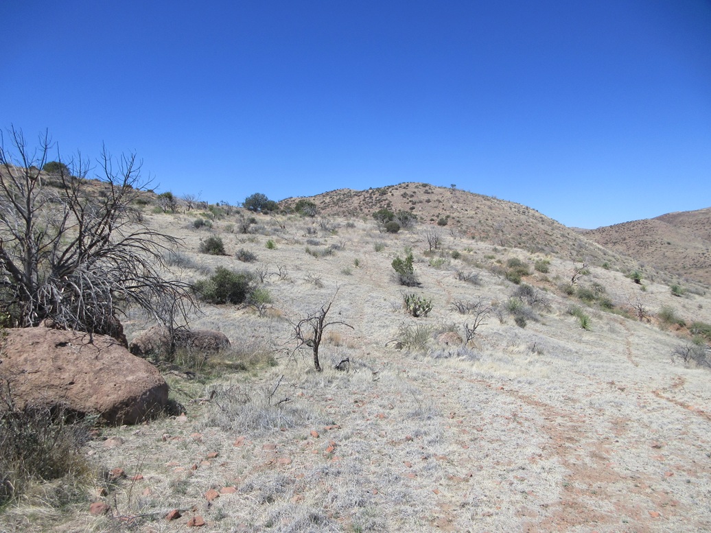
I started walking at 5:50 a.m.. I walked past the section of road that stopped me. Did it get better afterwards? No — in fact, it got a lot worse. The next few hundred yards of the road was a mix of large embedded rocks and bad erosion, ruts forming v-channels about three feet deep.
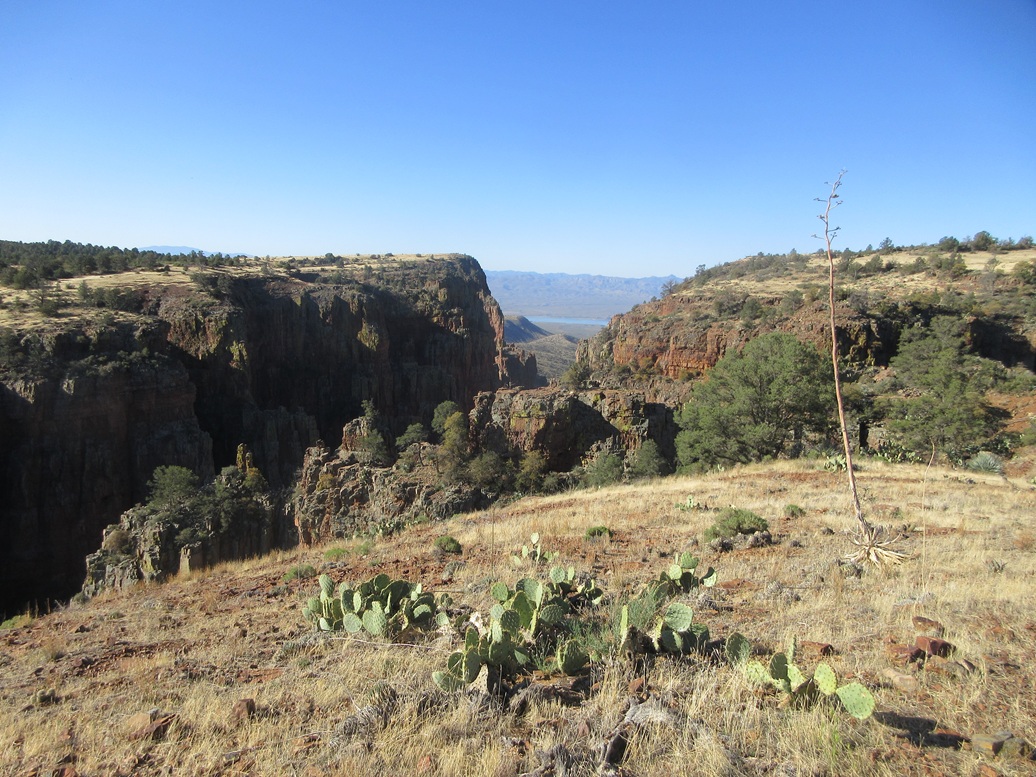
The road generally trends south, with some bends to the southwest, going in and out with the ridges coming off the higher peaks above me. The small stream I crossed over at the bridge was now a larger canyon that would eventually grow significantly in size, with walls a hundred-plus feet in height.
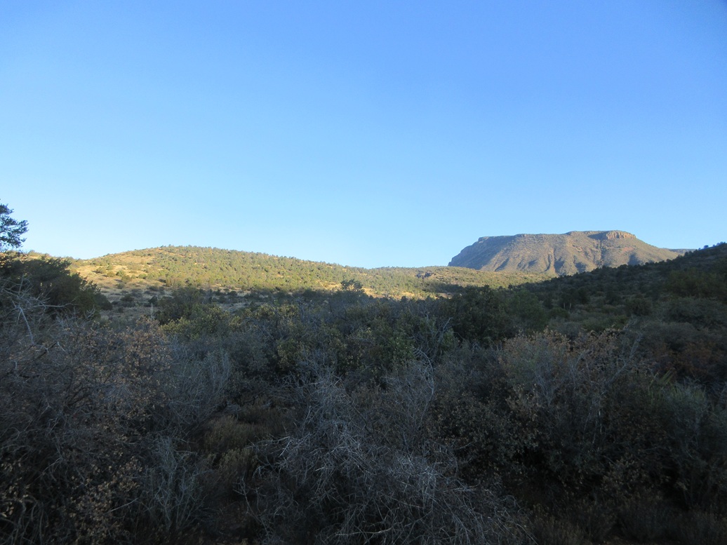
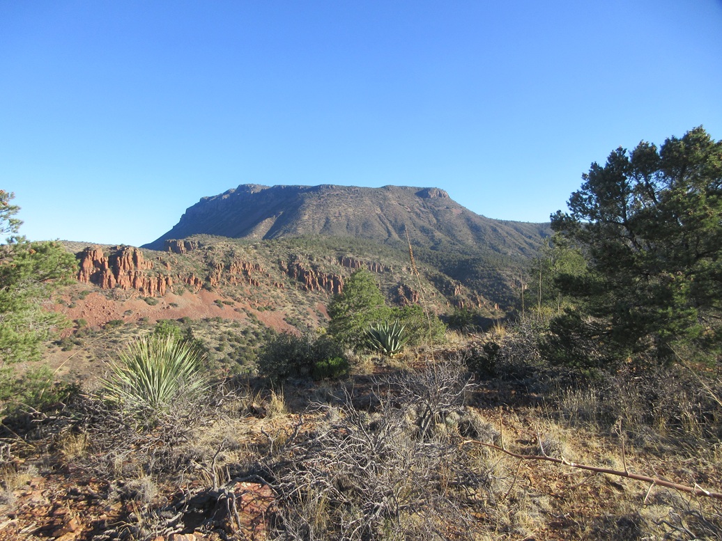
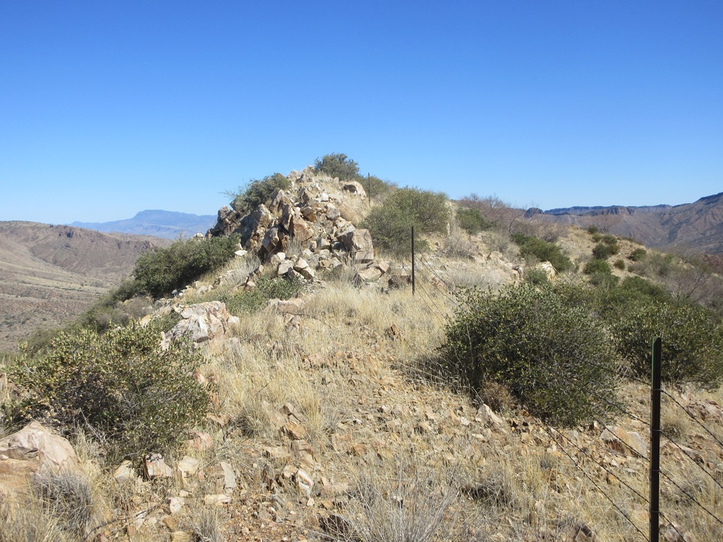
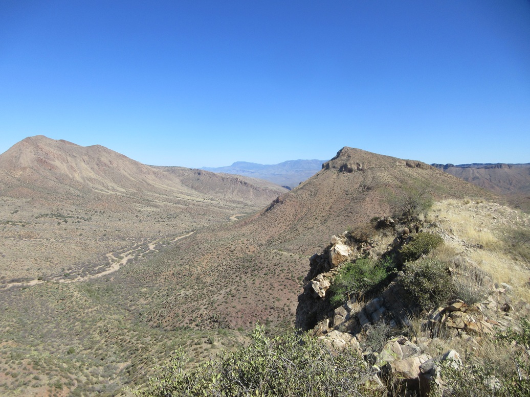
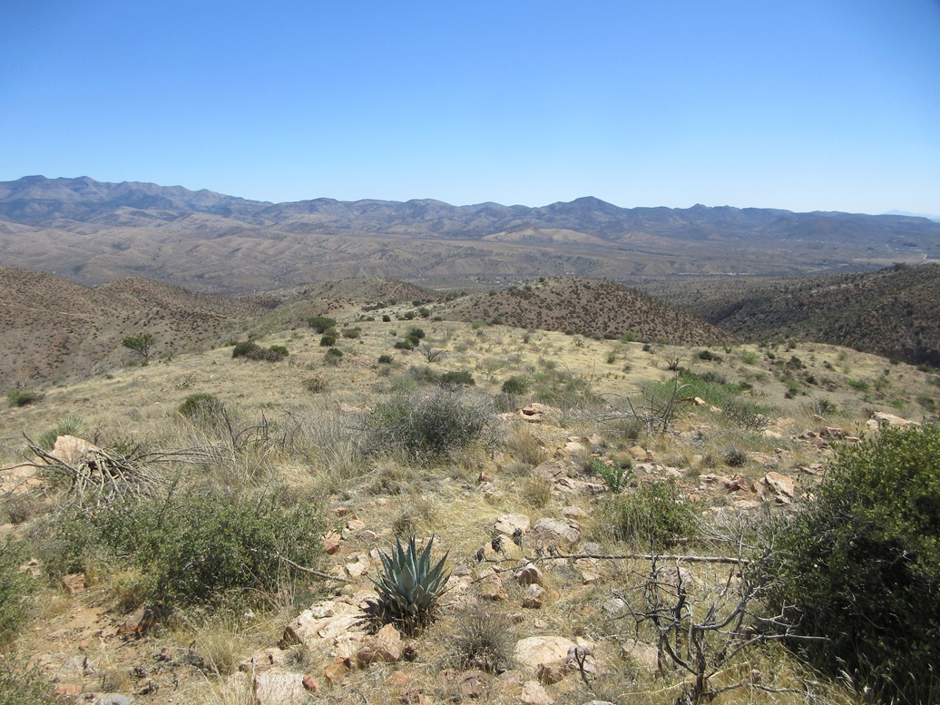
The road actually dropped almost 200 feet in elevation before starting to regain its lost elevation. About a mile in, it reaches its farthest-south point and swings to the northwest. Big Armer Mountain appeared in the distance, nicely lit by the morning sun. Today's destination, Peak 5328, was also lit, a low hill on a ridge emanating off of Armer Mountain.
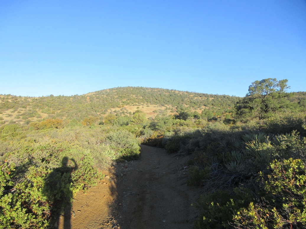
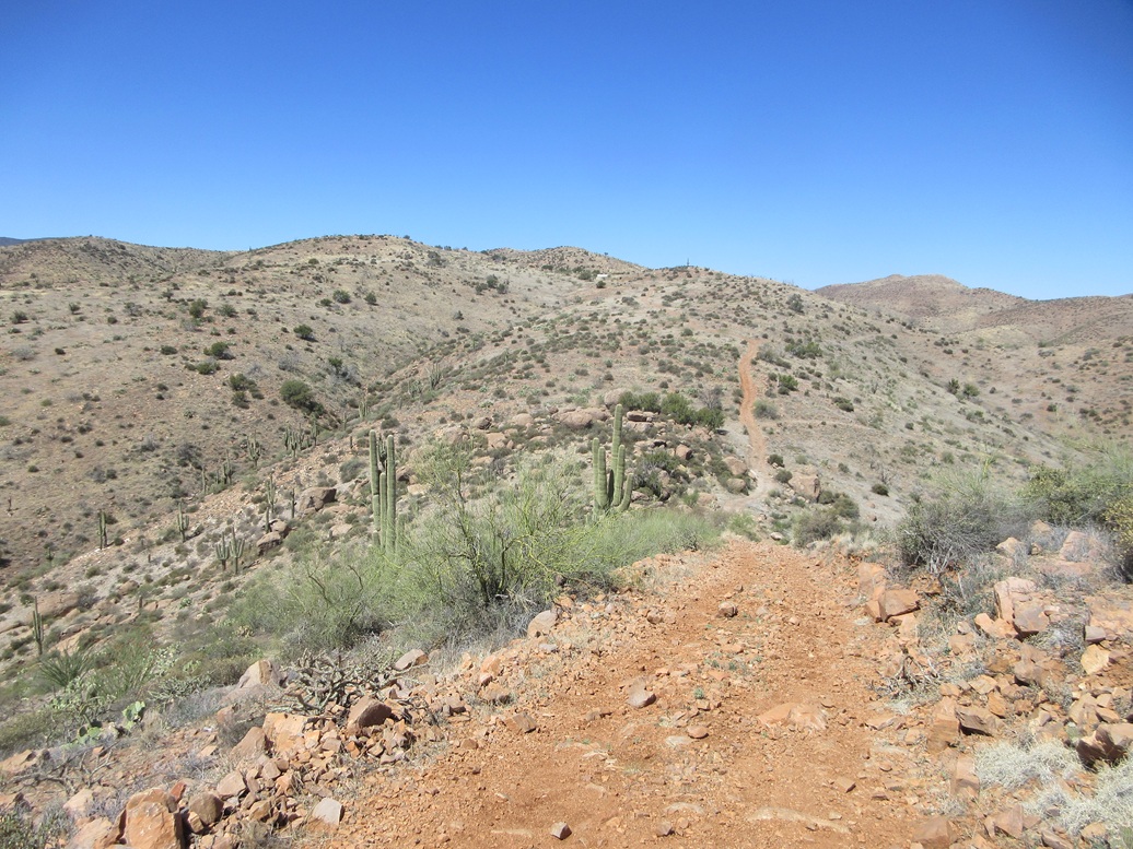
About a half-mile later, FR-142 splits, going north, while FR-488 swings south. I wasn't paying close attention and stayed on FR-488, but soon realized my error and returned to the split. Now on FR-142, I stayed on it for the better part of a mile, until southeast of Peak 5328. The trees and brush here was thick and limited views. I could not see the peak, for example, despite being below it.
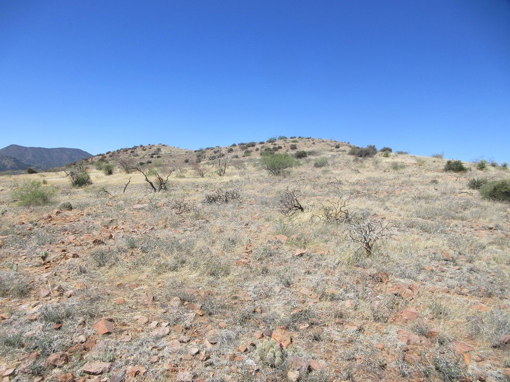
A post held up by rocks on the east side of the road marks a junction with a track that bends slightly west and leads to a clearing. I walked in and could see the peak again. I found a lesser track that went uphill and followed it. I had no idea how far up it would go, but I would stay on it as long as it went up.
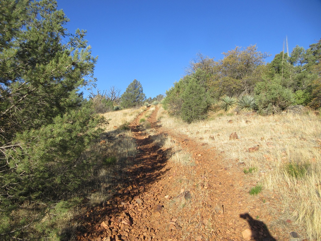
The track actually went almost the entire way to the summit! I was not expecting this at all. The maps do not show a track and I had not looked at any satellite images beforehand. But I was not complaining. I'd much rather walk a track, no matter how steep and rubbly it is, than bash through woody scrub, grass and cactus.
The track ends in a clearing below the top. I walked through open terrain, light grass and brush about knee high to the top, a gain of about 40 feet. And there I was, on top of Peak 5328. It had taken me one hour and fifteen minutes, in what I later determined to be slightly over 3 miles of hiking.
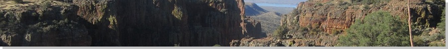
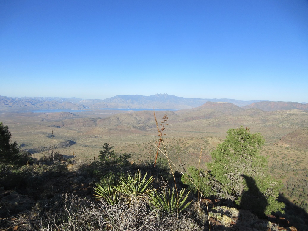
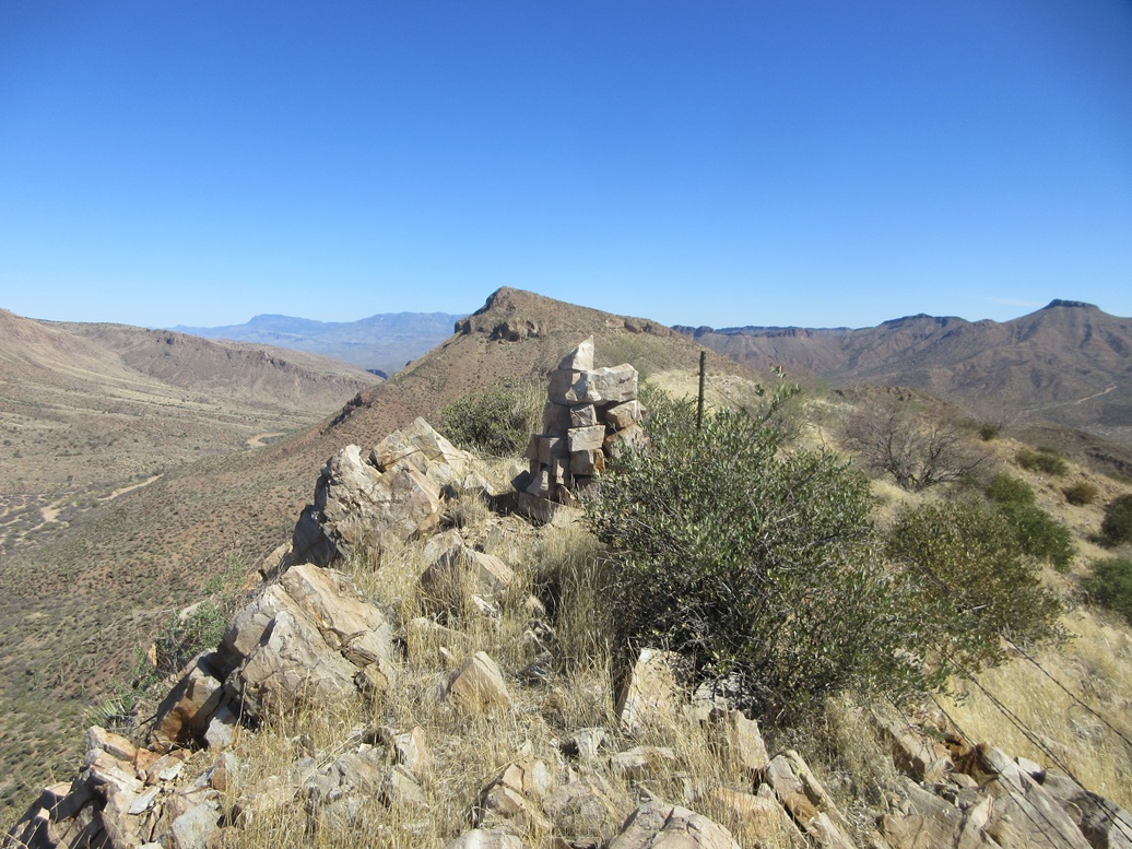
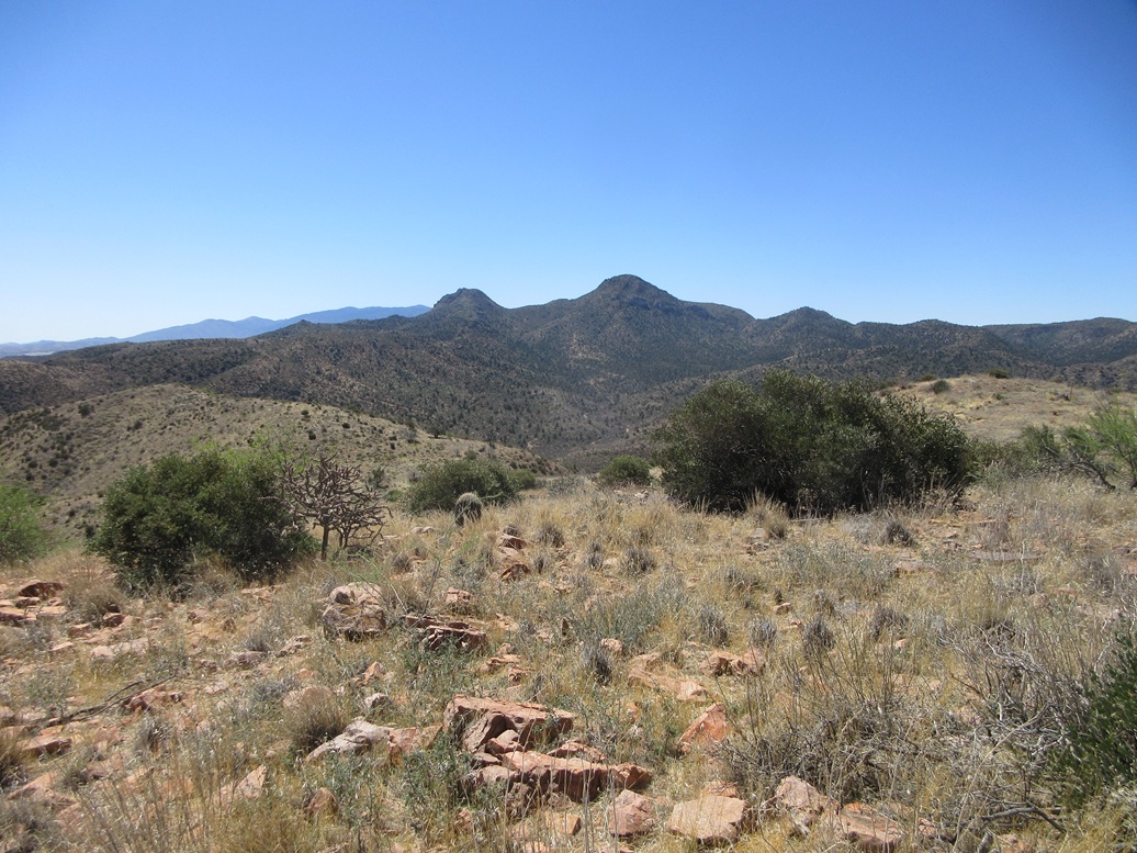
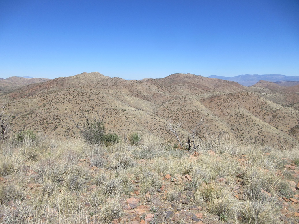
The sun was just now rising over the highest peaks of the Ancha, lighting everything up. I had fantastic views of the surrounding peaks, of Lake Roosevelt, and the Four Peaks off in the distance.
The summit is mostly open, but with some brush. I walked around to determine a highest point. A small cairn lies atop a rock but I felt some points in the brush might have been slightly higher. I could not locate a register. Lists of John shows just two previous visitors, a father-son duo who were here in 2012. This is a rarely-climbed peak but not a difficult peak. Surely, the old miners of yore, or whoever put in this track, wandered up to the top.
I spent a few minutes up top, looking around and snapping images. It was warming now, but still comfortable, now in the mid-60s. I had a brief moment of wondering if I was on the right peak, so I brought out my phone, got a weak signal, and verified that the track I followed was on the satellite images. It was. A peak to the north is nearly as high, but Lidar shows it to be about 10 feet lower in elevation.
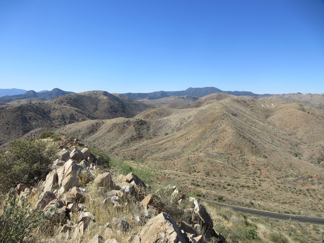
The egress hike took about the same amount of time. With the sun higher, I took more images and stopped to admire the views. In particular, the canyons that I had hiked above and beside were now more lit and visible, and I could see down into them. These would appear to be more interesting hikes, but I am unsure how one would access them.
I was back to my car at 8:25 a.m., about a two-hour and 40-minute hike overall. It was still early, so I decided to go look at the other two peaks on my agenda.
Elevation: 3,907 feet ✳
• Prominence: 345 feet ✳
• Distance: 0.6 miles
• Gain: 390 feet
• Time: 40 minutes
• Conditions: Warmer
PB
•
LoJ
•
Lidar
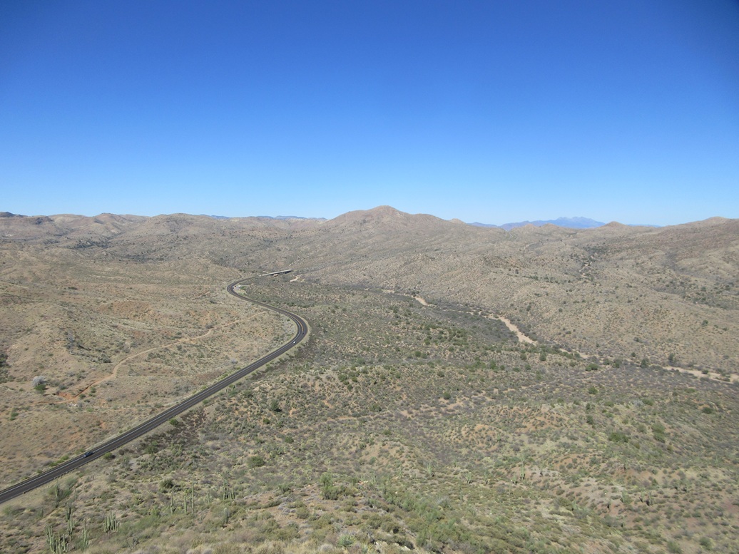
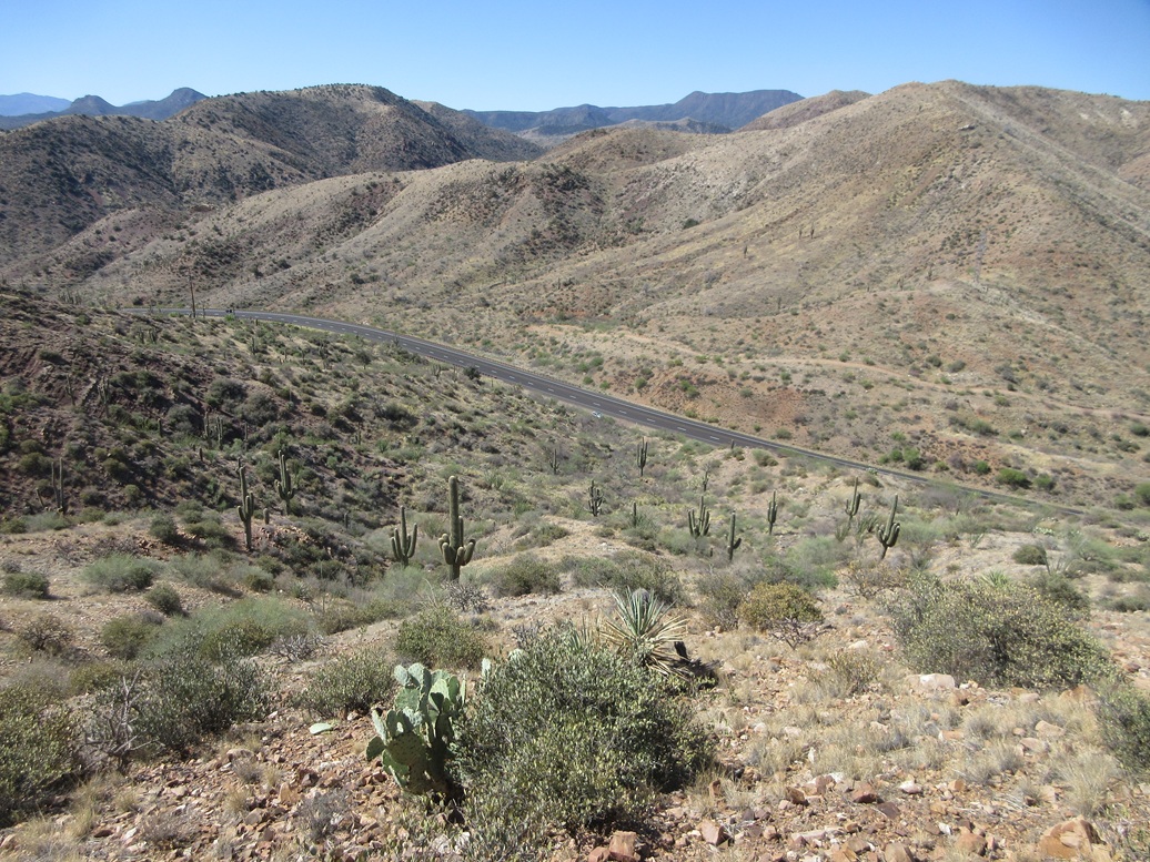
I drove back down AZ-288 to where it meets with AZ-188, a twenty-mile drive. My next peak is an unnamed peak rising immediately north of AZ-188. It rises east of Salt River Peak and north of the Gerald Hills/Dagger Spring Peaks. Going by its shape and geology, it looks to me to be part of the Salt River Range.
The only parking option is to park alongside the highway below the peak. I don't like parking on highways because it makes my car vulnerable, and it may not be entirely legal. But I had no other choice. I pulled into a patch of grassy flat ground, about fifteen feet off the highway.
Just then a pickup truck with its police lights comes up and stops. The officer inside asked if I was okay, if I needed a lift. He thought I had run out of gas. I said I am fine and planning to hike "that" peak, pointing at it. I asked if it was okay for me to park here and he said yes. That was a relief. I had that peace of mind now.
He is an officer, but he is mainly tasked with running up and down the AZ-188 looking out for stranded motorists, that kind of thing. He was driving a truck, not a cruiser. I mentioned I live in Bisbee and to my surprise, he's actually heard of it. He had a buddy from there who played football with him in college. We talked for a few minutes. He was real cool and said he'd keep an eye out on my car on his rounds, and to watch out for snakes.
After he left, I started up the embankment, soon coming to a fence which I stepped over. This would be a short but very steep hike. I was on a ridge but not the right one, so I had to drop into the intervening drainages to get to the one that went up to this peak. Brush and grass was light enough to where I could see my feet most of the time.
Once on the correct ridge, I marched steeply uphill. The slope was loose, covered in small flaky rocks that slid with each step. I angled to my right and caught a slope with more rock outcrops, which I hoped were more stable.
On these outcrops, they were stable, but also awkward, and some were loose. But this was a short hike and I was soon on the top ridge, which is a narrow fin of rock with cliffs to the west and steep slope to the east. A large cairn sits centered on this small ridge.
The views were fantastic, and I took a number of images. I looked for a register in the cairn but did not find it. But I didn't look that hard. I did not want to stick my hands into rocks with voids where snakes and scorpions can hide. A small lobe about fifty feet north of the cairn looked possibly as high, so I walked to it to be sure.
On the hike down, I was easing down the big rocks when I stepped on a large one, about 2 feet in diameter, and it slid out from under me. I went with it, then fell backwards onto my butt. It was a controlled landing so I wasn't hurt, but I was concerned there was a snake underneath the rock. Thankfully, there wasn't.
Aside from that one fall, the rest of the hike went fine, with no more falls. I was down and back to my car quickly, the round trip taking a little over a half hour. It was still early, about 10 a.m.. I had plenty of time but it was warming, now into the 70s.
Elevation: 4,061 feet
• Prominence: 311 feet
• Distance: 3.2 miles
• Gain: 1,050 feet (gross)
• Time: 90 minutes
• Conditions: Very warm
PB
•
LoJ
I wanted to take a look at a third peak, located just a few miles down highway AZ-188. This peak also has no name. It is in the Gerald Hills, south of Babich Benchmark Hill. When I was here a month ago, climbing this peak from the north would have been impractical. A better route comes in from the east.
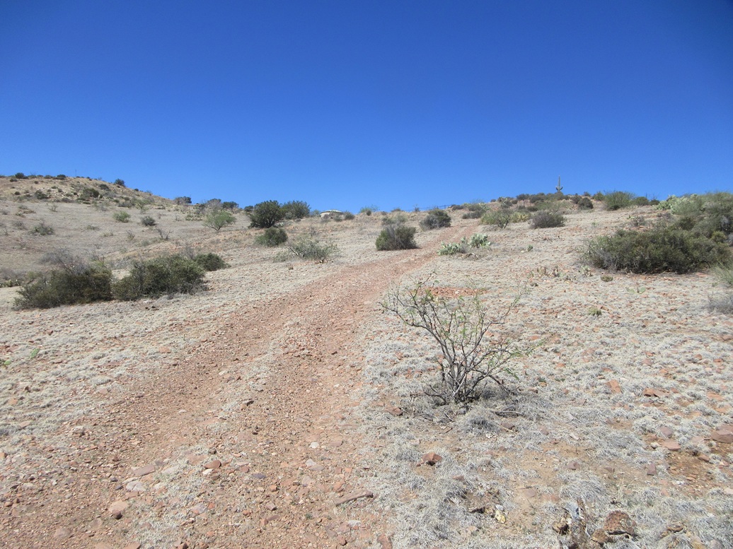
I exited off the highway onto an access road that drops into Gerald Wash, this exit being located a little north of Milepost 220. The pavement ends at a cattle grate, but an excellent dirt road picks up and heads west up the wash. This road is Tonto Forest Road 225, but the only forest here is the mesquite growing in the wash.
I followed the road west a half mile, then north onto FR-1032 for a few yards, parking in a clearing surrounded by brush and mesquite. It was about 10:30 a.m., but very warm now, into the high 70s.
The road immediately starts up a hill and onto a ridge, much too rough and steep for my car. I gained about 250 feet to get onto the ridge, then followed it west, dropping about 30 feet to a saddle. The road then gains again, another couple hundred feet to top out on a higher hill.
From this hill, I could see my objective in the distance. Another hill blocks the way, this hill having a stock tank on its slopes. I dropped about 80 feet to another saddle. The main road goes right, but a scanter track bends left and uphill toward the tank.
As I approached the tank, two very large turkey vultures were sitting atop a concrete structure nearby. They alighted as I walked closer and I got a good look at them. They are big birds! I walked past the tank itself, then through a wire-stick gate. The tracks grow faint here, continuing another hundred yards or so before ending at the lip of a rocky downhill.
This downhill wasn't difficult at all, but the brush and grass was thick and I went slow, mindful of serpents. I dropped about 50 feet to a third saddle, the highpoint on the next hill.
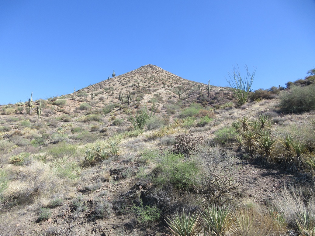
I walked up another couple hundred feet through a mix of moderate brush and grass, with some rocky segments, onto the flattish top of this broad hill. The summit was at the western tip, requiring another forty-foot gain up an easy hill. It had taken me about 45 minutes to get here, covering 1.6 miles.
The top was just a hump of grass and low rocks. There was no cairn or register, no markers to indicate others have been here. This peak doesn't attract much attention. It barely meets the 300-foot prominence rule and I was only interested in it since I had climbed all the other nearby hills previously.
I snapped a few photos and looked around. It was warm, but a steady breeze was refreshing and kept me cool. There was no good place to sit for a break, so after some wandering, I turned around and started out.
I retraced my route, and once back to the gate near the water tank, took a break on a convenient sitting rock. I was feeling dehydrated, and I gulped down one 20-ounce Gatorade all at once.
The rest of the walk went without incident. I wasn't eager to regain those slopes again but had no choice. I just moved slowly, and was back to my car just shy of noon. Now it was officially warm, in the mid-80s.
I spent a few minutes relaxing and changing into shorts and a t-shirt. This last hike had been tiring and I could feel the fatigue. I hiked just over 10 miles today with about 2,500 feet of gross gain, so yes, I had a reason to feel beat now. But I was very pleased to be succeeful on the three peaks. These last two were "fill-ins" and I am glad I got them.
As usual for Globe on a Thursday, I had to kill time until 2 p.m., when the highway near Superior opens. I drove into town and had a lunch at a Mexican place, the same one I was at last week. I also drove to the east side and checked out Round Mountain Park. It's a city-run park with trails. I did not want to hike, but I wanted to see it and get a headful of ideas. I sat in the shade, drank a coke, and chatted with a crew from Enterprise car rentals here on a lunch break.
Once the highway opened up, I drove back into Scottsdale and stayed at a cheap hotel to clean up and rest.
|


|