The Mountains of Arizona
• www.surgent.net
|
|
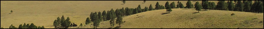
Ebert Mountain • Potato Hill • Pine Hill Today was the last day of my eleven-day vacation from Payson. I'd be returning "home" later this afternoon, but in the meantime, wanted to tag a couple more summits in the Flagstaff area. I had been in Nevada for a week, then three days in Utah. Yesterday, I drove from St. George through Kanab into Page, Arizona, then to Flagstaff, a 300-mile drive. I spent yesterday afternoon and evening vegging at a Motel-6. Today, I would look at Ebert Mountain and Potato Hill, which lie near one another along Coconino Forest Road 144, about 35 miles northwest of Flagstaff. Afterwards, I would aimlessly drive and inspect other hills and the scenery. I did not really have much of a plan beyond these two hills. Later, I hiked Pine Hill east of Mormon Lake.
Date: June 1, 2021
• Elevation: 7,336 feet
• Prominence: 636 feet
• Distance: 1 mile
• Time: 1 hour
• Gain: 476 feet
• Conditions: Clear, blue skies and cool for now
Arizona
•
Main
•
PB
•
LoJ
•
Interactive map
I was up early today and on the road a little after 6 a.m.. I was looking at a few hills about 35 miles northwest of Flagstaff, where US-180 drops in elevation, from the ponderosa forests down into pinon-juniper country. Ebert would be my primary goal, since it was closest to the highway with easy logitstics. I was also looking at a few more peaks in the area, but with no real agenda in mind.
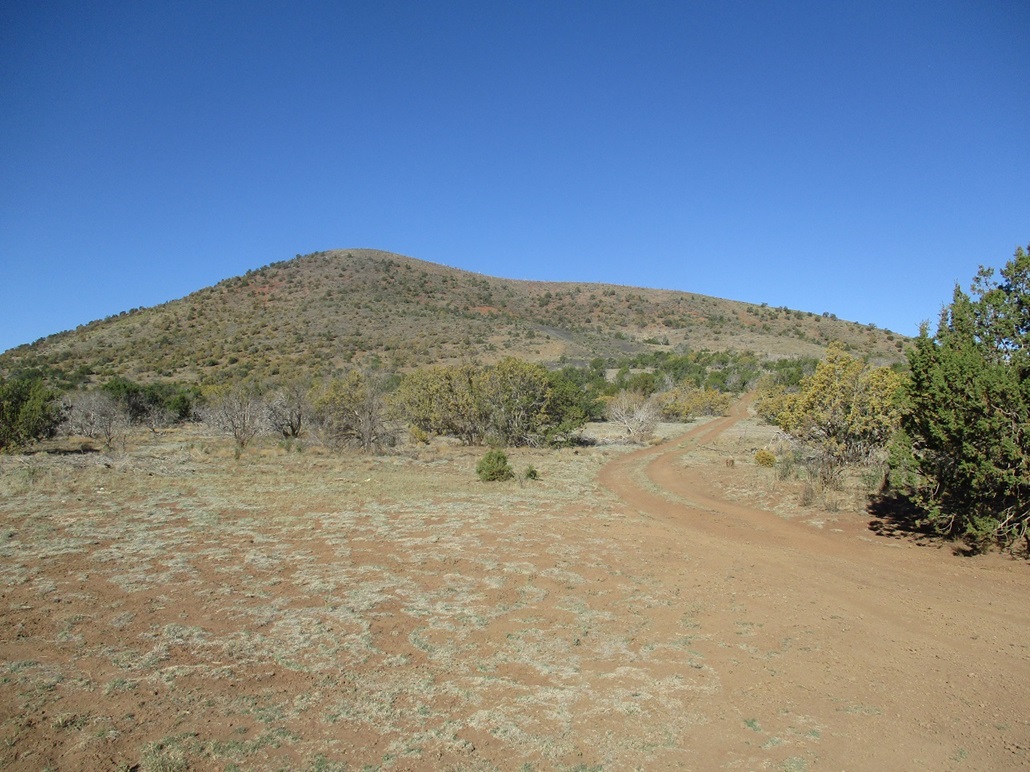
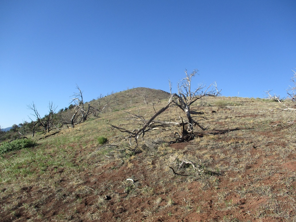
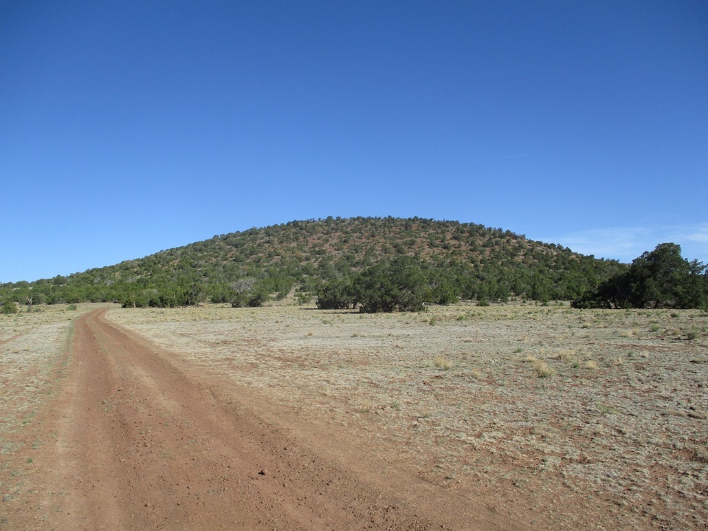
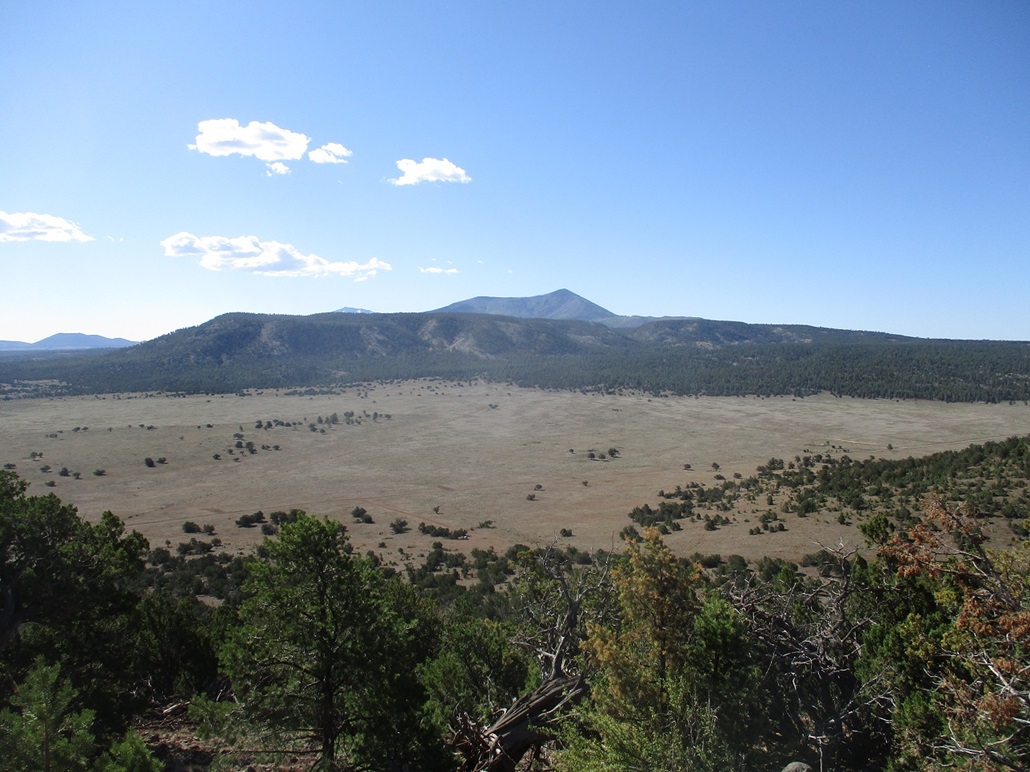
Ebert Mountain comes into view, the first "obvious" peak after passing Red Mountain and its unique eroded canyon. Ebert comes next, not covered in heavy forest but more bare, with lighter lower brush and trees on its hillsodes.
I turned off US-180 onto Kaibab Forest Road 144, and drove in about a mile. The mountain looked climbable from any direction. I found an unmarked track heading west toward the peak, marked FR-9511 (but not on the map). The road looked marginal, so I eased onto it and drove in, going slowly. The tread was uneven with ruts and channels, and higher up, looser with more volcanic kibble. However, I was able to get to its end, about a half-mile drive and 200 feet of gain. I parked in a small flat clearing covered in loose volcanic cinders. ATVers evidently use this road to try their luck with the steeper hillsides. Me, I was happy to make it in this far and cut off some distance and elevation gain as a result.
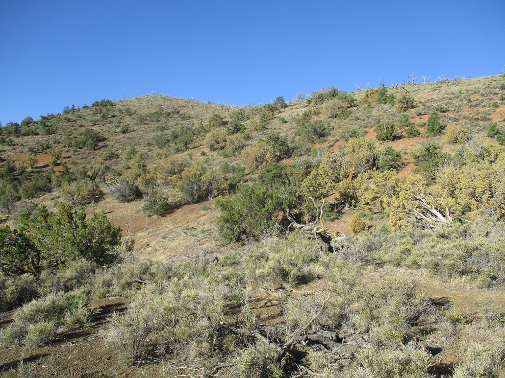
I stated hiking immediately, aiming uphill for the slope closest to me. The ground was cinders, with low scrub and the occasional tree. Ahead of me was a steeper slope. Once on it, the cinders were loose but I was able to get up these slopes without sliding too far back with each step. On these slopes, going slow and steady won't work. I would look up about 20 feet ahead for a bush or log, then bust up the slopes to it, not giving myself time to slide back. If I stop, then I slid back. So I'd try to stop beside a bush or on a log where there was more stable footing. This method is extremely tiring but it works.
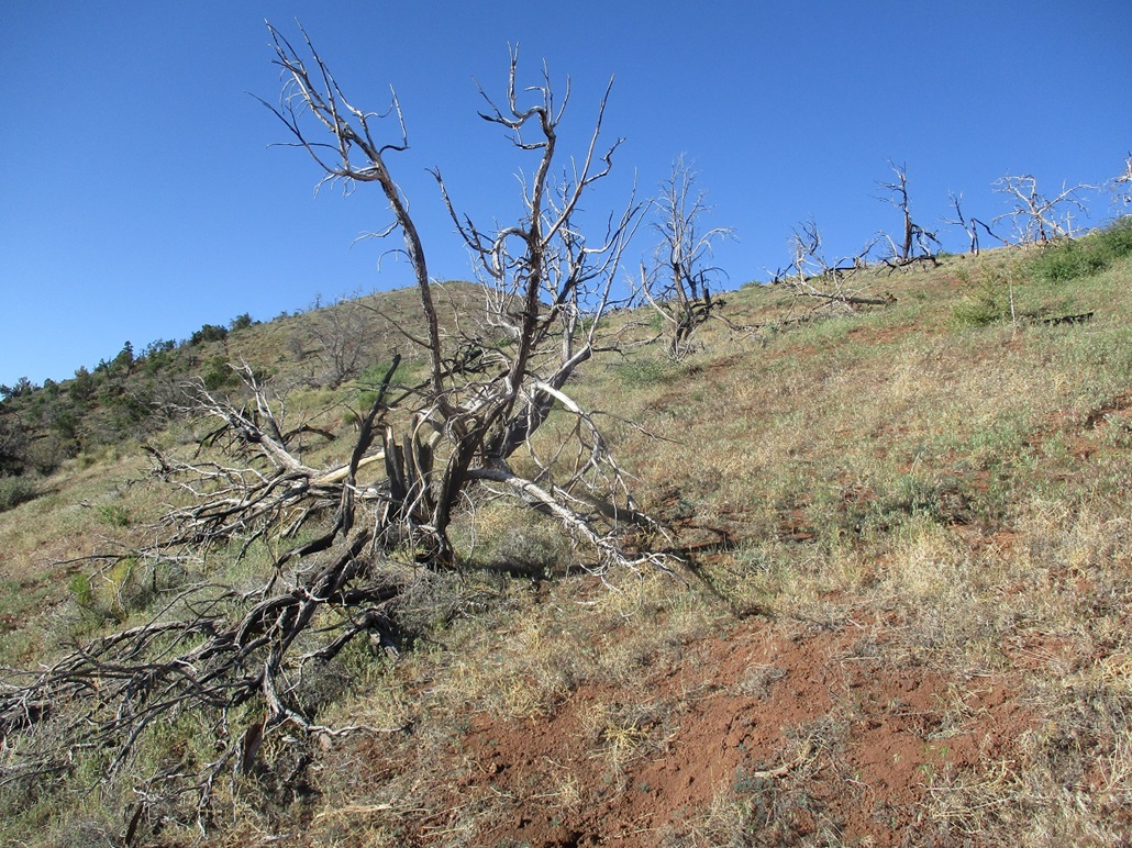
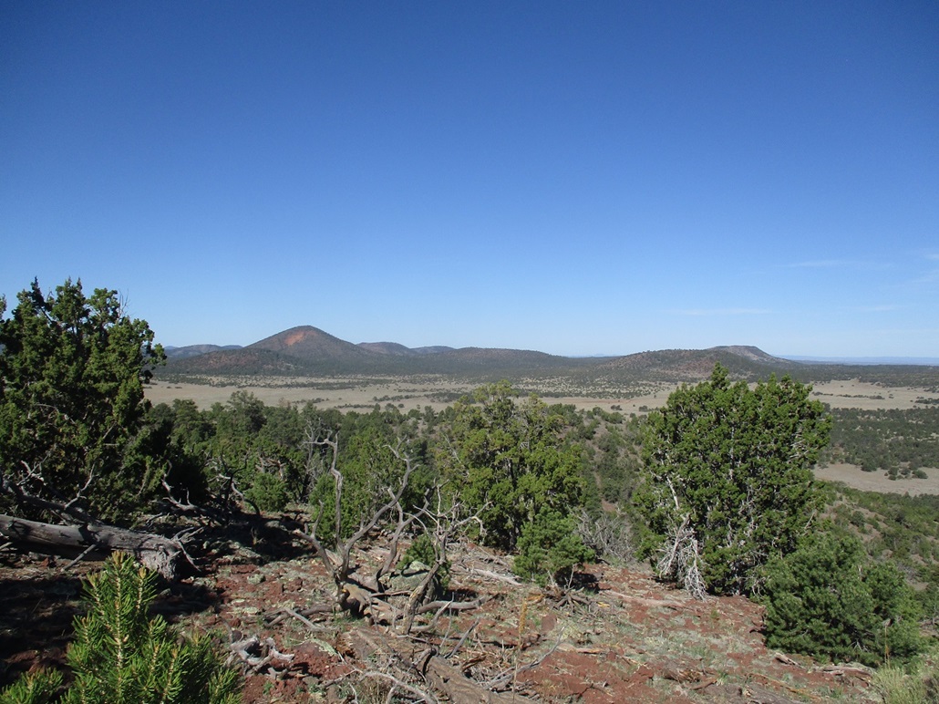
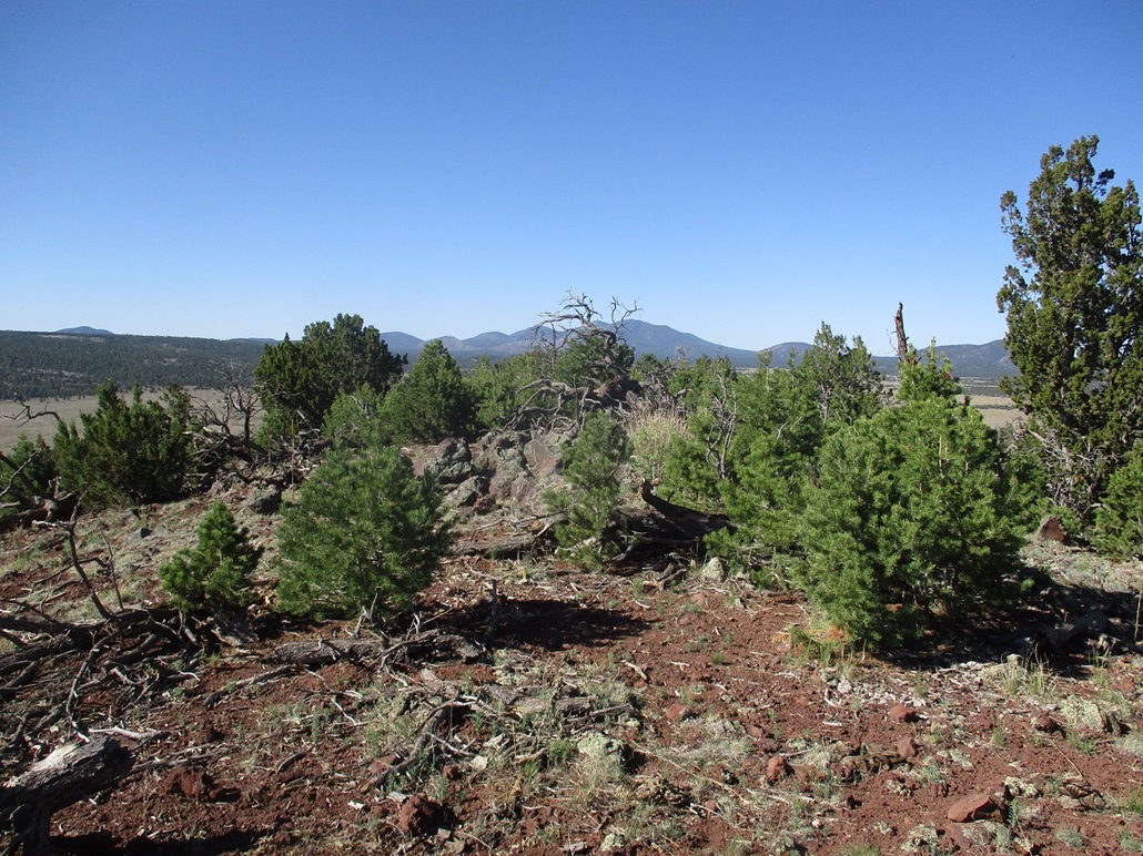
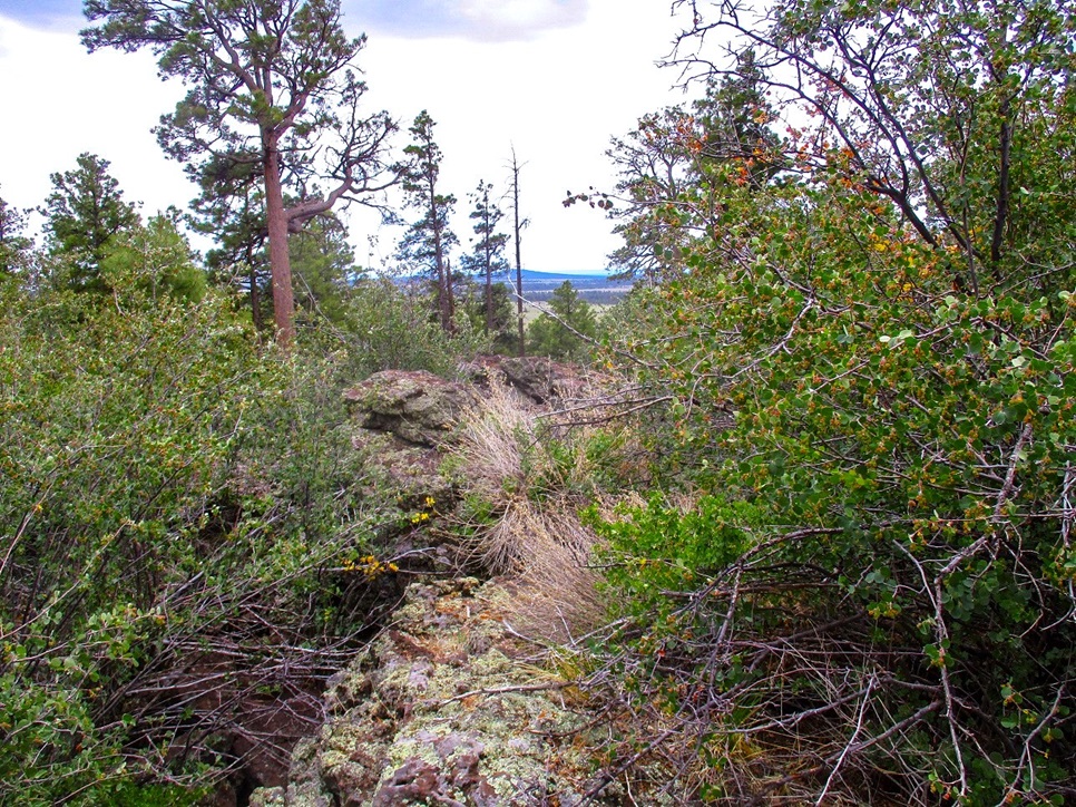
I was soon above the steepest and loosest section and onto a gentler slope covered in grass. Dead branches, bleached from years in the sun, lie on this slope. Looking down, I could see the distinct outline of a fire that must have swept through here many years ago. But I was now on the upper ridge. The footing was much better now and the summit close by, just a hundred feet higher. I walked up one more slope and arrived onto the summit, featuring a rock outcrop that runs about 40 feet long and 10 feet wide. I walked up onto the rock rib and tagged all the highest boulders.
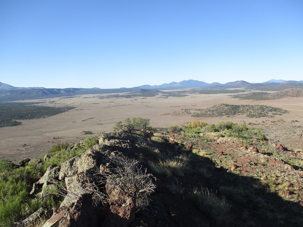
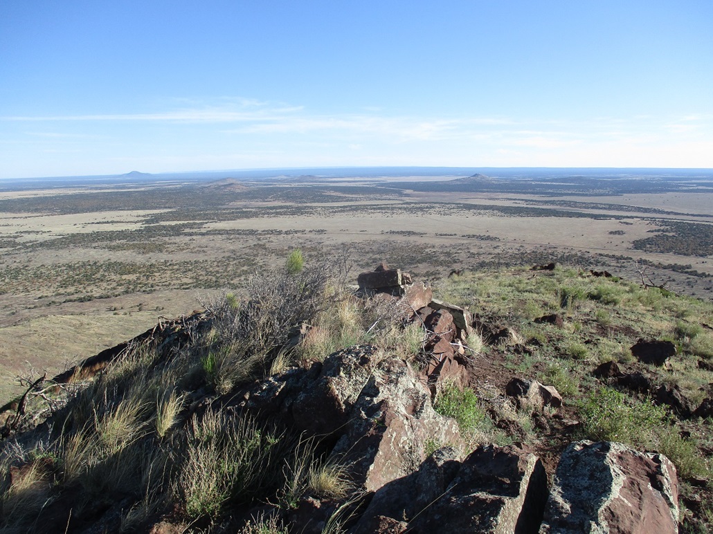
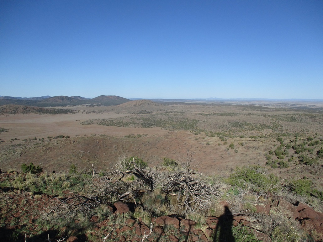
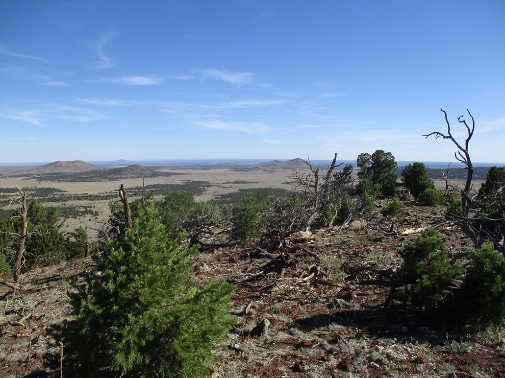
Conditions were outstanding. It was sunny and pleasant, about 70 degrees, with no clouds and a soft breeze. I spent about ten minutes up top, looking around at the surrounding plateau and volcanic mounds. Distinctive Red Butte rises about 30 miles to the northwest. To the far north, a dim black band runs across the farthest horizon. This is the North Rim of the Grand Canyon, the southern cliffs of the Kaibab Plateau.
I hiked down the same general route that I had ascended. Back on the steepest slopes, I encountered a section of cinder kibbles lying atop rock, to where footing was impossibe. For about twenty vertical feet, I had to get on all fives and scoot down the slopes, in one case sliding about six feet before gaining control again. Past that, it was an easy walk to my car. The round trip hike covered just a mile and took an hour.
I drove down the track back to FR-144. It was still early. I had though about doubling back north and trying some of the hills that way, but lacking maps, was unsure about the roads and their condition. So I went south on FR-144. A sign said Interstate-40 was 24 miles ahead. I had never driven these particular forest highways before, so I thought this may be a fun adventure.
Elevation: 7,282 feet
• Prominence: 382 feet
• Distance: 0.8 mile
• Time: 40 minutes
• Gain: 385 feet
• Conditions: Clear, blue skies and warming. Cows nearby making noise
PB
•
LoJ
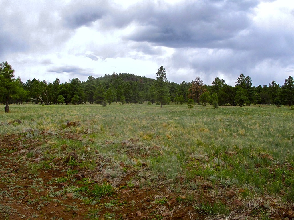
Potato Hill is about five miles south of Ebert along Kaibab Forest Road 144. I drove past a cattle grate and found an unmarked road that veered northwest toward the saddle between Potato Butte and the little bump to its south, Spud Hill. I parked in a clearing up against some junipers to provide shade.
I started hiking northwest, crossing a fence along the way. The slopes were gentle at first, then moderate, but never steep. The trees here were mainly pinon and juniper, and brush was light. In about fifteen minutes, I was on top the hill, on its long and gentle summit ridge. I walked north along the ridge until I was at the obvious highest point, where I took a few photos and kicked some contending rocks
I hiked down the same way, amused to hear cows mooing all the way up here. They were down on the flats across the road, where a water truck was filling tanks for them to drink. I was back to my car soon, a 40-minute round-trip hike covering just under a mile. This was an easy hike, nothing memorable, but nice in a general sense.
I continued southbound on FR-144, never having driven these roads before. The signs said it would lead me back to Interstate-40. I thought about hiking more hills but had no maps, encountered too many private property inholdings, and frankly, did not have the motivation. I enjoyed the drive, taking another forest road west that let out on highway AZ-64, north of Williams. I stopped in Williams to just sit in my car, clean up a little, check my texts and emails, and relax. They day was warming up, even though it was barely 9:30 a.m..
I drove back to Flagstaff, then killed time there for a little bit, before starting the drive back to Payson. Along the way, I hiked one more hill, a forested bump called Pine Hill.
Elevation: 7,552 feet
• Prominence: 327 feet
• Distance: 1 mile
• Time: 45 minutes
• Gain: 327 feet
• Conditions: Cloudy but warm
PB
•
LoJ
Ambiguity alert: there are two summits named Pine in the immediate area. This Pine Hill is due east of Mormon Lake, while Pine Mountain is about a dozen miles to the south down by Bargaman Flat and Happy Jack.
On the drive southbound on Lake Mary Road, I had a perfect "time waster" hike at the ready. This hill, Pine Hill, would kill an hour easily. The hill is located about 4 miles east of Mormon Lake, along Forest Road 125 that leads to Kinnickinnick Lake. Pine Hill on its own held no interest to me and I had not made any plans to hike it during my time in Payson. Once I leave Payson, I assure you that I would never drive the longer distances to tag just this hill. But for today's needs, it would come in handy.
I exited Lake Mary Road onto FR-125 and drove it for about three miles. The road is slightly rough, and today there was a grader on it, working mainly the shoulders, which for the time being meant it was pushing lots of rocks of varying size onto the road bed. I had to go slow and ease around the grader, the blade spanning over half the width of the road. Then I also got stalled by someone's massive RV stopped on the road. Normally, I'd be annoyed, but today, I just went with the flow, knowing this was taking up more time, which was good. The driver eventually showed up and moved his trailer to the side after a few minutes.
I was soon at the junction of FR-125 and FR-82, a right onto FR-82 leading to Kinnickinnick Lake. Pine Hill rises southwest of this junction. I parked in a camping spot along FR-82, east of the hill. The weather had become more cloudy, although the temperatures stayed in the mid-70s. The effect was to make the whole area a little more humid, but no actual rain fell.
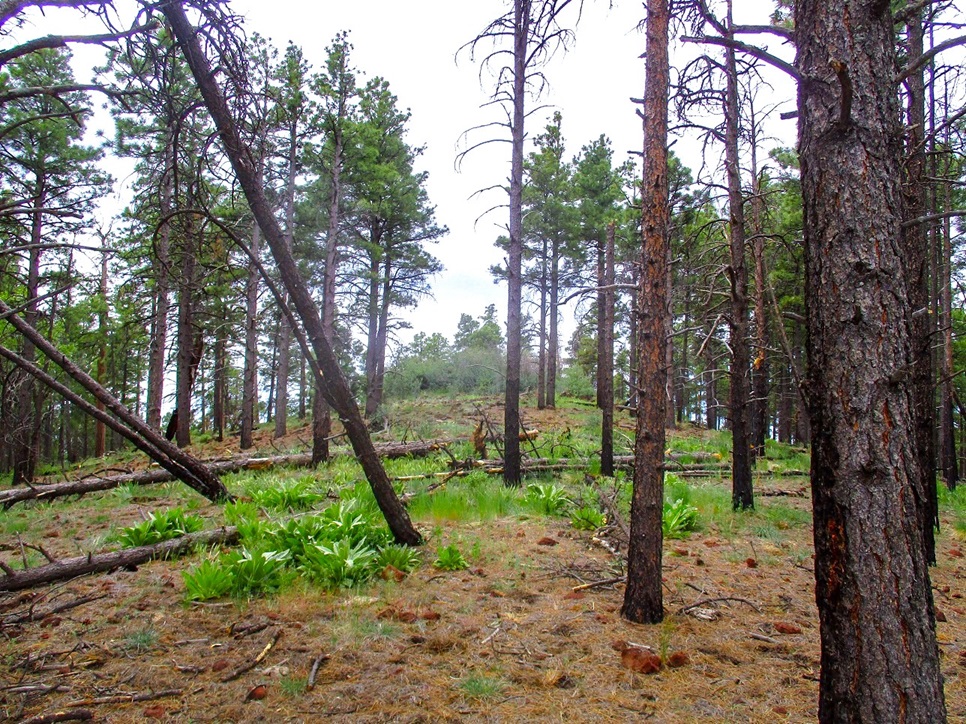
I hiked west up a slope, then caught the northeast ridge and hiked it up to the top, covering a half mile in about 20 minutes. The trees weren't too thick and I had good line-of-sight views, but the top itself was a mash-up of rocks and heavy brush, including thornbush. I found an opening that allowed me to walk up the last few feet and tag the top rock. There were no views and I did not linger at all. I simply retraced my steps back to my car, a 45-minute round-trip hike.
For the drive out, I had to contend with the grader again and the rocks in the road. I'm sure they would soon clear those rocks off but for now, the whole road was covered in these fist-size rocks. I had to go slow ... which today was a good thing. Counting my drive times, this side journey took up about 90 minutes.
My drive back to Payson went well. Traffic was light today, just a couple RVs to slow things down. I was back in town a little after 2 p.m., and after running a couple errands, back to my domicile a little before 3 p.m.. I had been gone 11 days and had hiked 20 ranked summits in Arizona, Nevada and Utah. I had a great 8-day visit with my father who helped me tremendously as I dealt with my current situation. Being away for 11 days was good medicine. Coming back, very bittersweet.
Maybe I'm a little harsh on this Pine Hill. It wasn't a bad hike, but not memorable either. But the general area is pretty. FR-125 eventually leads to Twin Arrows, a small locale (and casino) along Interstate-40. Seeing that sign jogged a memory, when my wife and I drove from Twin Arrows to catch Lake Mary Road, this was back in about 2006. It was an impromptu decision, just to see where the road would go. I'd recommend the area itself as a camping destination, and since Pine Hill is close by, it's an easy hike to the top.
|


|