
The Mountains of Arizona
• www.surgent.net
|
| East Wing Mountain |
• Deem Hills • City of Peoria • Maricopa County |
|
Date: December 27, 2015
• Elevation: 1,934 feet
• Prominence: 414 feet
• Distance: 2 miles
• Time: 50 minutes
• Gain: 470 feet
• Conditions: Cold with winds, clear skies
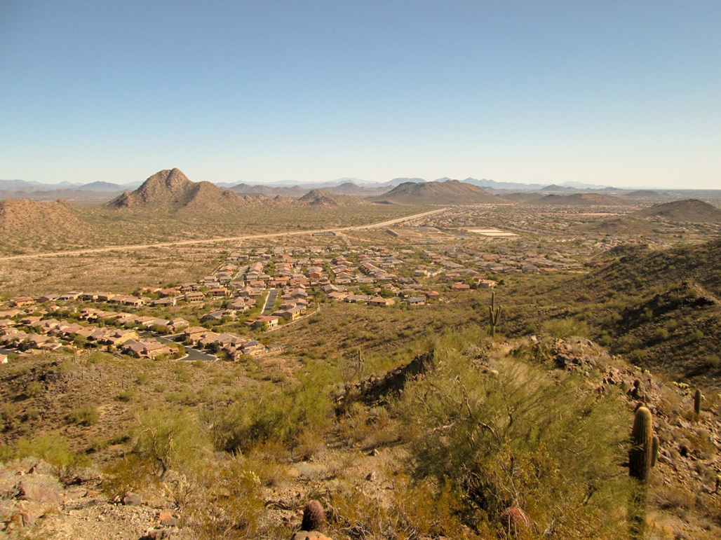
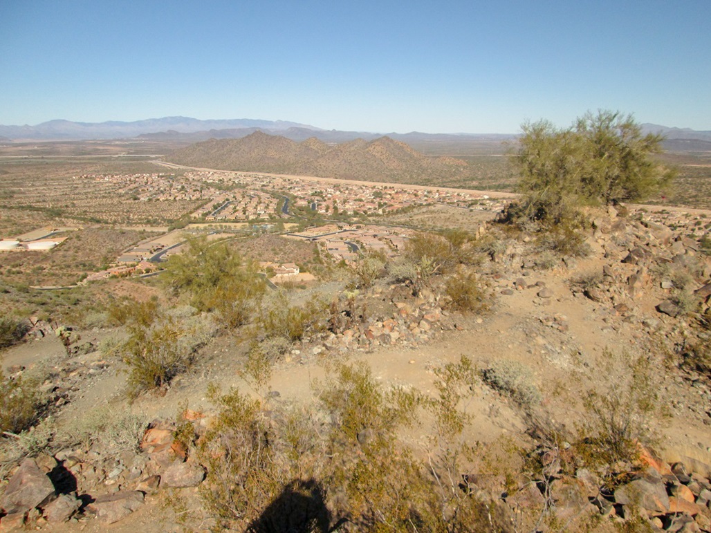
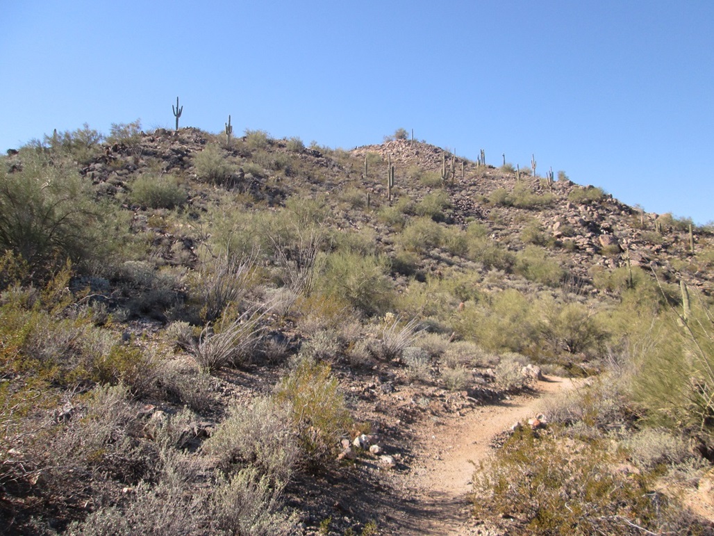
East Wing Mountain is a small hill of volcanic origin, clumped together in an unnamed range in north Phoenix and Peoria. The hill's summit is just 1,934 feet elevation, but it does have a trail, being maintained by the City of Peoria and the new housing development going up on its northeast base. I was looking for a quick hike, nothing complicated, and not too far from home. The peaks in this little range fit the bill and I have been slowly hiking each over a period of time now.
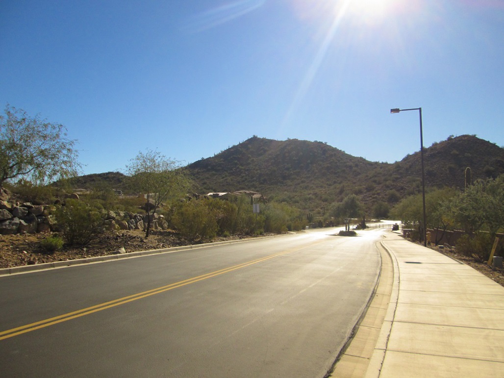
From Scottsdale, I followed Loop-101 Freeway to Interstate-17, north to Happy Valley Road, west a few miles to North 67th Street, north on that to Pyramid Peak Road, then into the Sonoran Mountain development. I then found smaller Chalfen Road, then turned into a parking lot at Miners Road, a total of about 25 miles. The day was cold and breezy, but stunningly clear. I started hiking at 11:55 a.m.
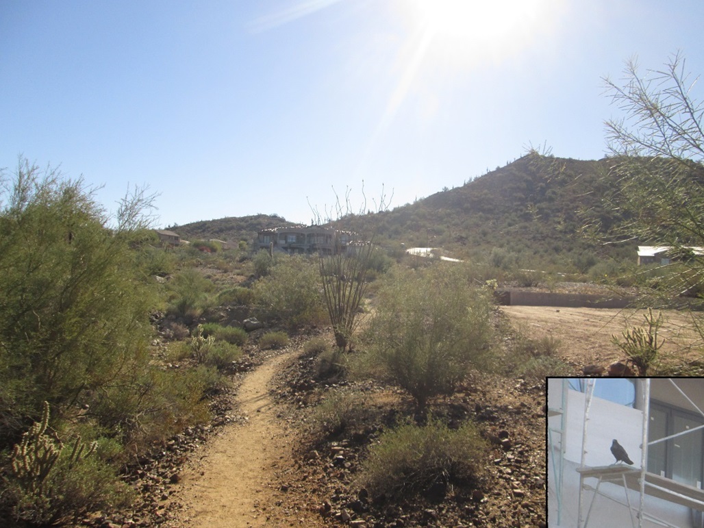
I walked uphill on southbound Chalfen Road to the trailhead. The trail runs through strips of native vegetation lined on both sides by new homes, some still being built as of late 2015. A big crow was making all sorts of odd noises, perched on the scaffolding surrounding a mansion being built. I shot a photo, then composed a haiku in his honor.
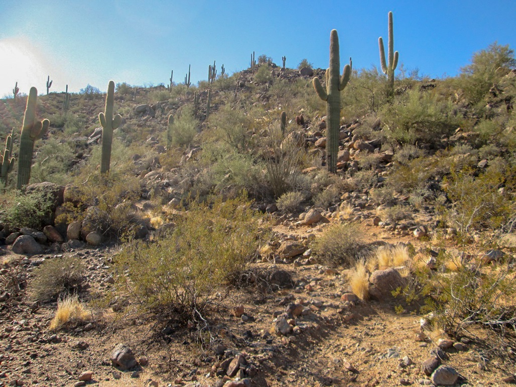
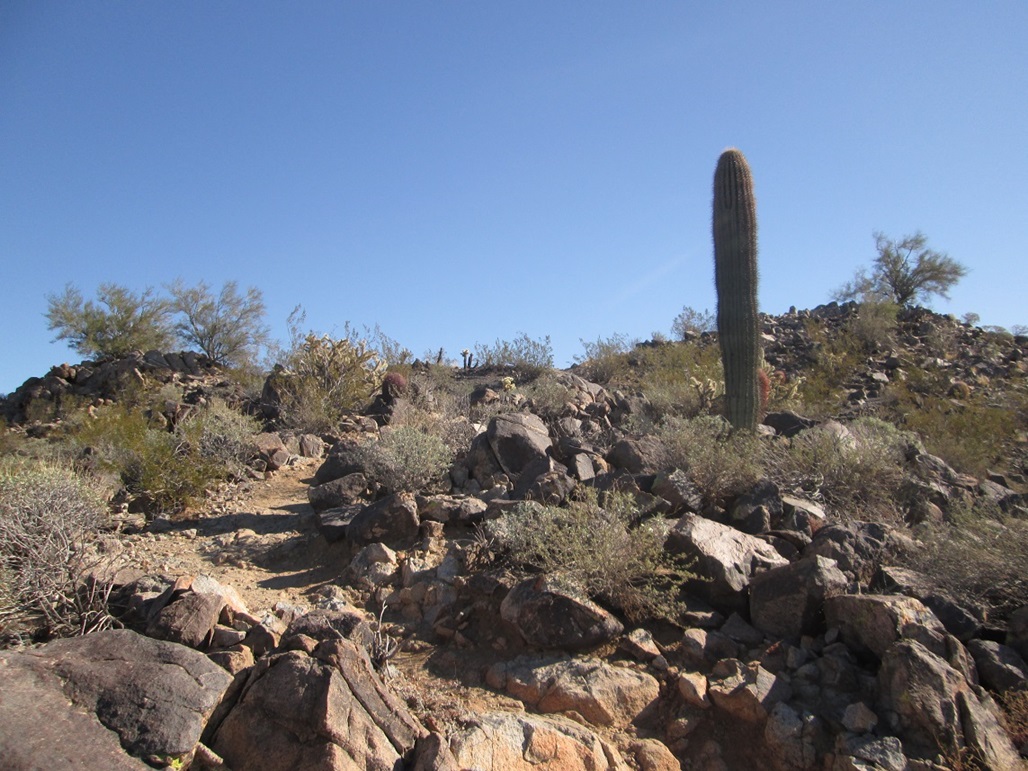
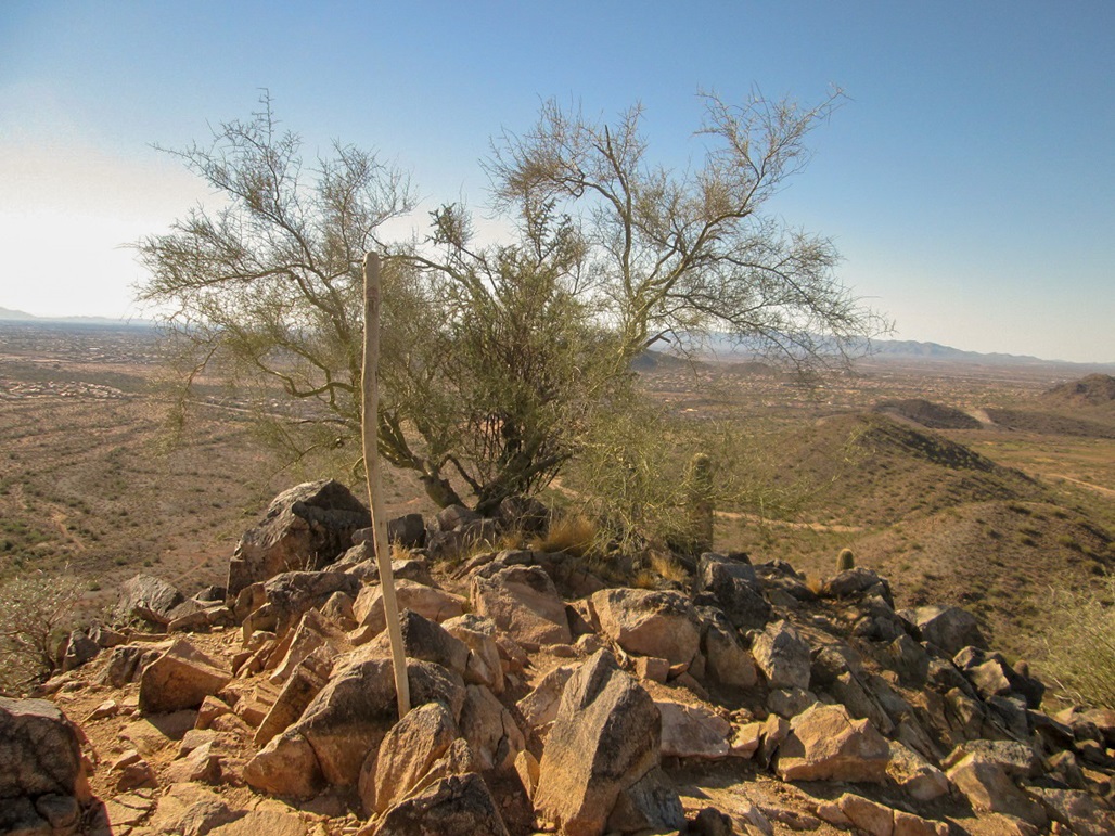
Quickly, the trail started to switchback up an easy slope, then surmounts a small saddle at a junction, roughly 0.6 mile from the start. I turned right and hiked up slightly-steeper slopes, the switchbacks a little tighter now. Soon, I was on the summit, the one-way hike covering about a mile, with about 470 feet of gain.
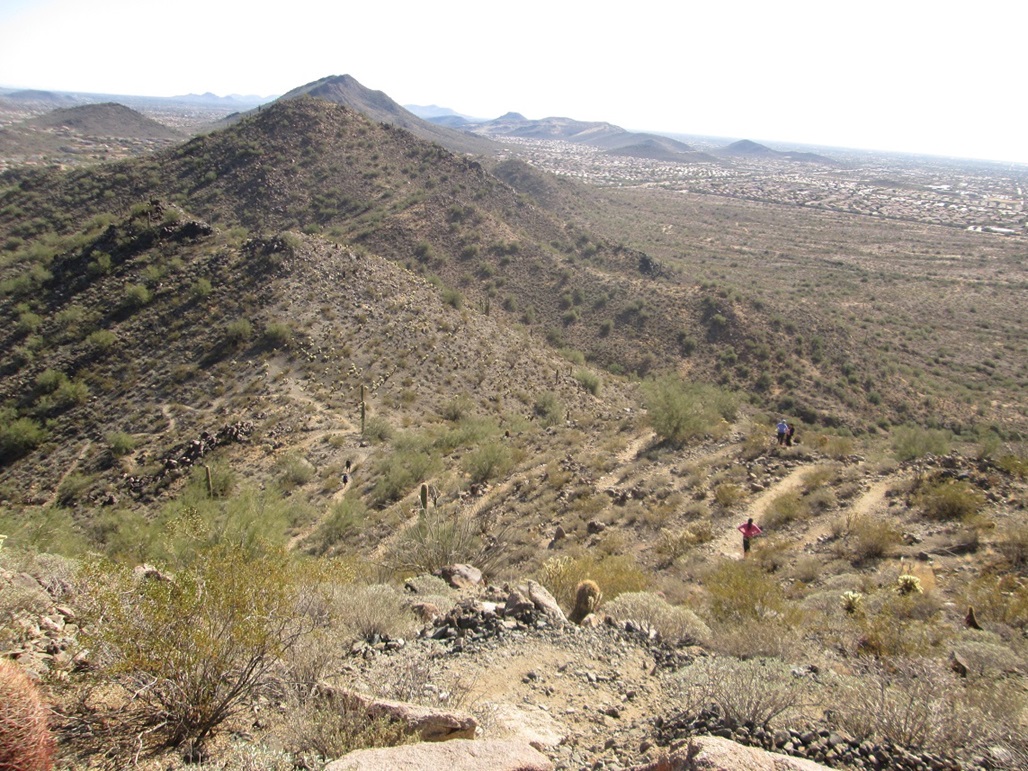
The skies were so clear of any moisture that I could see the Bradshaw Mountains to the north as though they were just five miles from me. I could see each of the Four Peaks to the east, plus hundreds of hills and peaks of various size all around me. I took photos, and spent about ten minutes on the top. Here, a couple other hikers passed me.
The summit is actually two small knobs, separated by about 90 feet. I visited both, but the western one is clearly higher. The trail cuts through the saddle connecting the little summits. The couple was going down the other side, and I asked if it loops around, and they said it did. This was weclome news, as I now could follow a loop rather than retrace my route.
I descended down the other side (the south slopes). The switchbacks are a little more spread out here, but well constructed. I completed the loop in about fifteen minutes, then walked quickly back to my truck. I was gone for 50 minutes.
I got exactly what I came for: an easy, quick hike to a peak I had never hiked before, and a small workout. This is a good trail all around, and probably new. The development is still being built out. It was never crowded. Apart from that couple, I met a trio of women, and that was all.
|

|