The Mountains of Arizona
• www.surgent.net
|
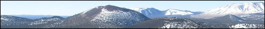
| Doyle Peak |
• San Francisco Peaks • Coconino National Forest • Kachina Peaks Wilderness • Coconino County |
|
Date: September 17, 2016
• Elevation: 11,460 feet
• Prominence: 660 feet
• Distance: 15 miles
• Time: 9 hours
• Gain: 3,436 feet
• Conditions: Clear and magnificent
• Teammates: Mattias Stender
Arizona
•
Main
•
PB
•
Interactive map
Doyle Peak is the state's 4th-highest mountain assuming a minimum rule of 300 feet of prominence. It is a bump on the southeast ridge of the San Francisco Peaks, north of Flagstaff. Even though it gets up to 11,460 feet into the sky, it has just 660 feet of prominence. Earlier this summer, Matthias and I had hiked nearby Fremont Peak, the bigger bump to the west of Doyle Peak. We had planned to hike both peaks on that hike, but after coming down Fremont, decided to save Doyle for a later date, giving us an excuse to take a different route, the one from Schultz Pass.
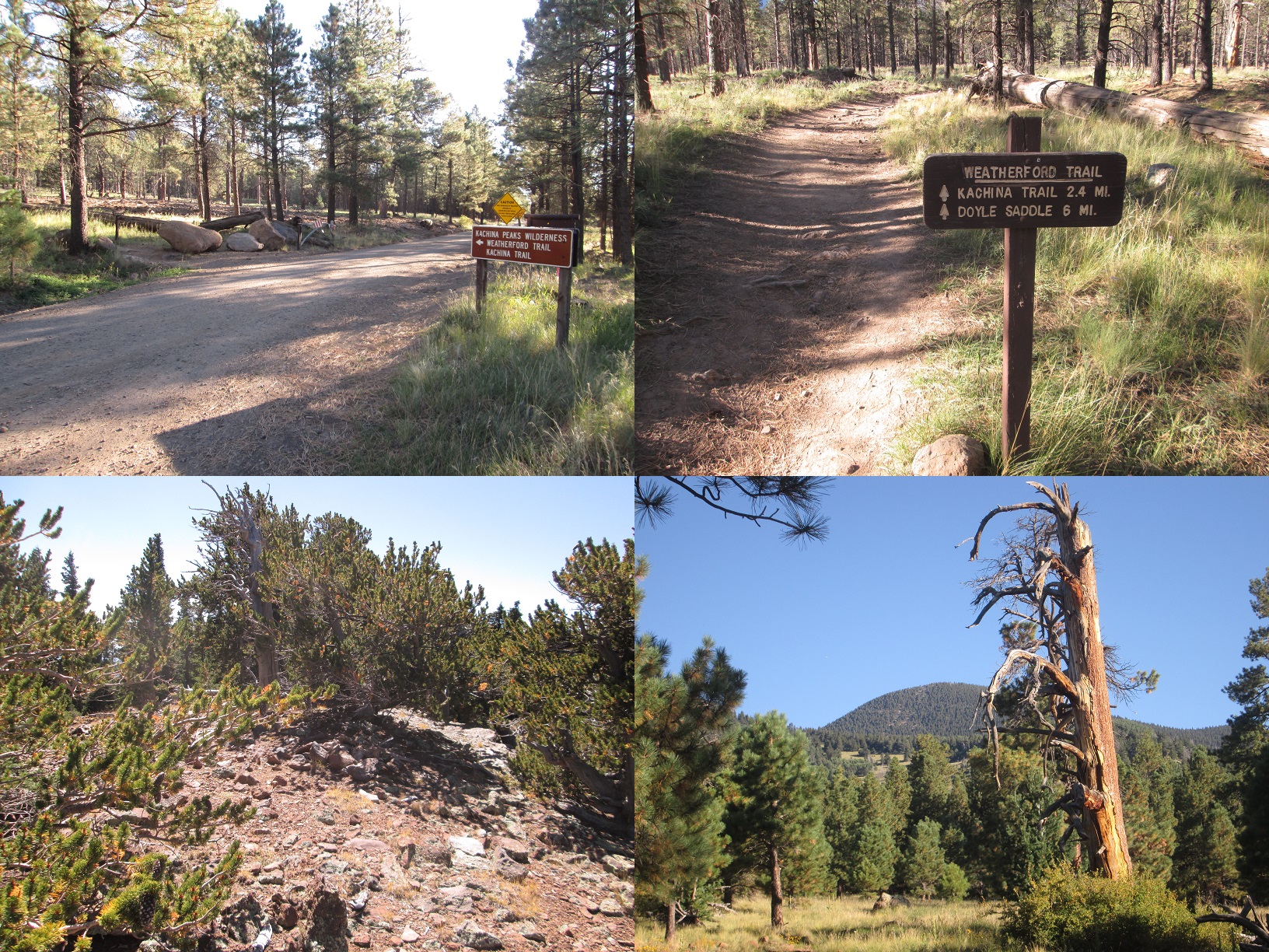
We waited until the monsoon had started to dissipate. This time of year, it's hit and miss. We had selected this weekend to hike Doyle Peak, hoping the weather would behave. We hit the jackpot: the weather was about as stunningly clear, blue, dry and gorgeous as weather in Arizona can possibly be. Matthias picked me up at 5 a.m. at the Denny's at the Carefree Highway and Interstate-17, and we drove into Flagstaff, then followed roads north and west out of town, catching Schultz Pass Road. We parked at the Schultz Tank Trailhead, elevation 8,024 feet, arriving at 7:30 a.m.. The weather was cold enough to put on a light jacket, temperatures about 50 degrees. I had not felt tempratures this cold in months. We were hiking by 7:35 a.m..
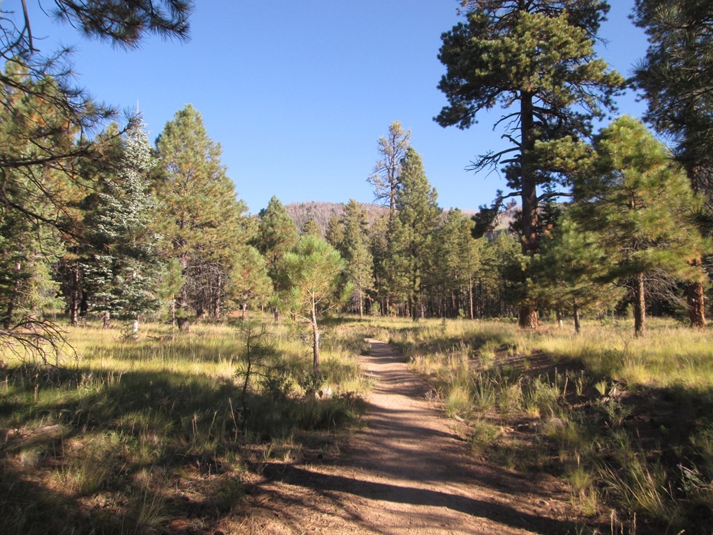
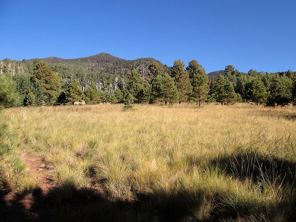
We followed the Weatherford Trail north across a very-gently sloping plain of light forest and open grassy meadows. The trail follows an old road constructed during the 1920s that got as high as the ridge, apparently. Being an old road, the pitch is always lenient, never more than 8% grade, often much less than that. What this meant was longer switchbacks to eat up the elevation gain. The lenient grades allowed us to move fast with few breaks. The weather was spectacular. The sun was high and bright, but the air temperatures stayed pleasantly cool.
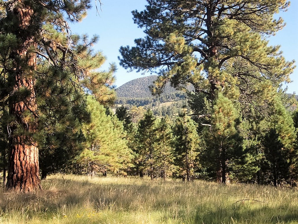
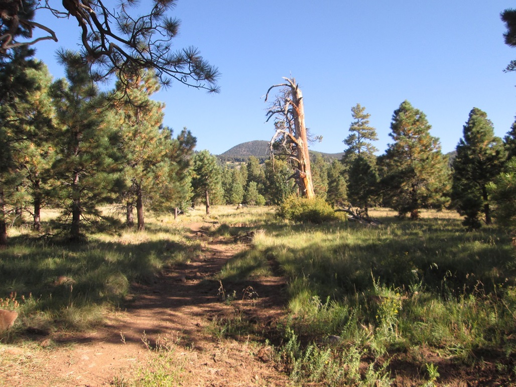
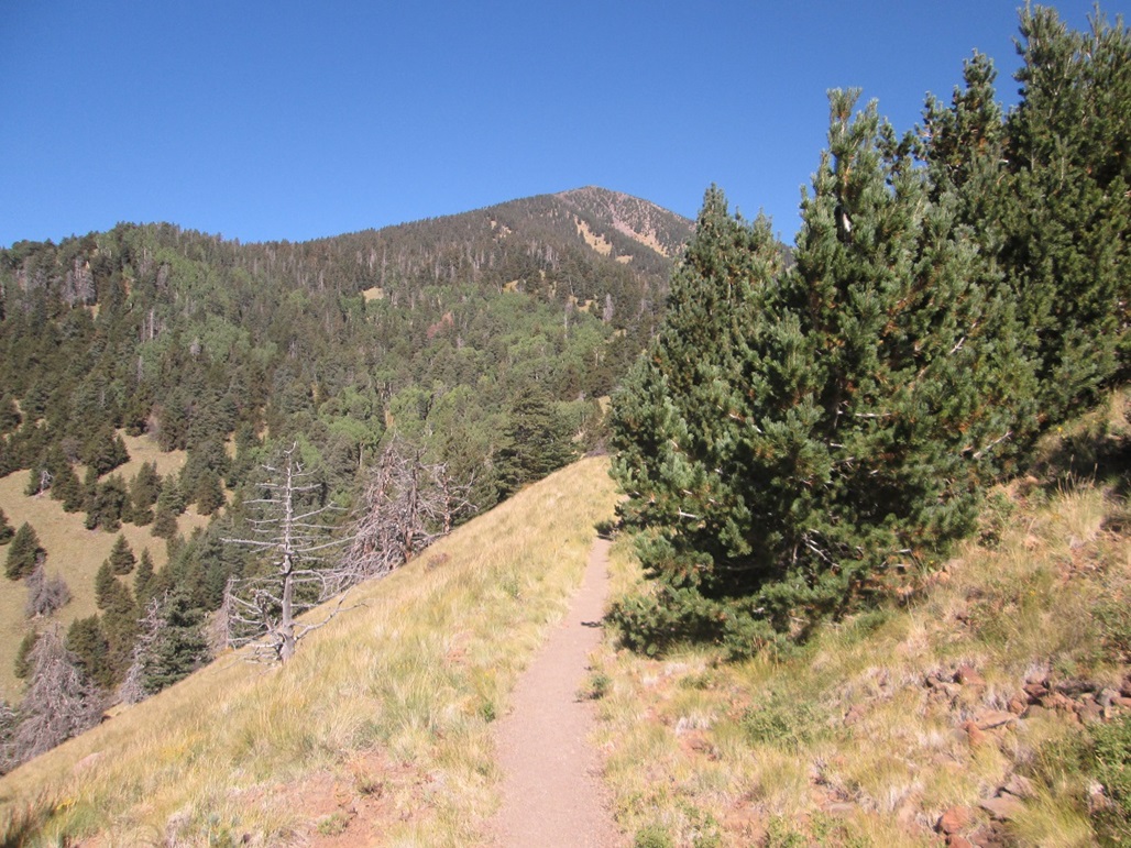
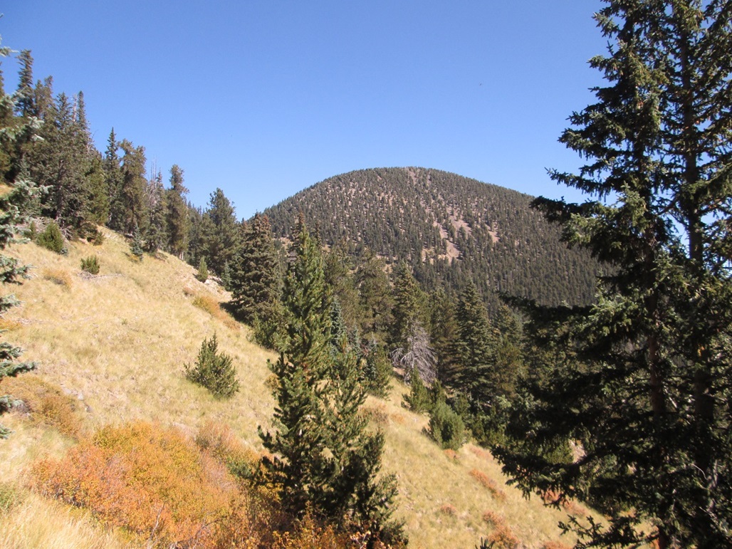
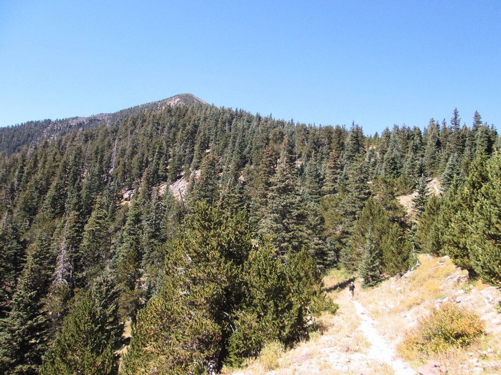
We took a break near a trail junction a little under two miles in, then continued on the Weatherford Trail as it bent slightly northeast and headed up Weatherford Canyon. Sometimes, we could see the big peaks — Agassiz, Fremont and Doyle — peeking above the forest. We had views of the big south ridge coming off of Doyle Peak, including the bump called Schultz Peak (more on this at the end). We met up with three guys in camouflage, scouting for elk.
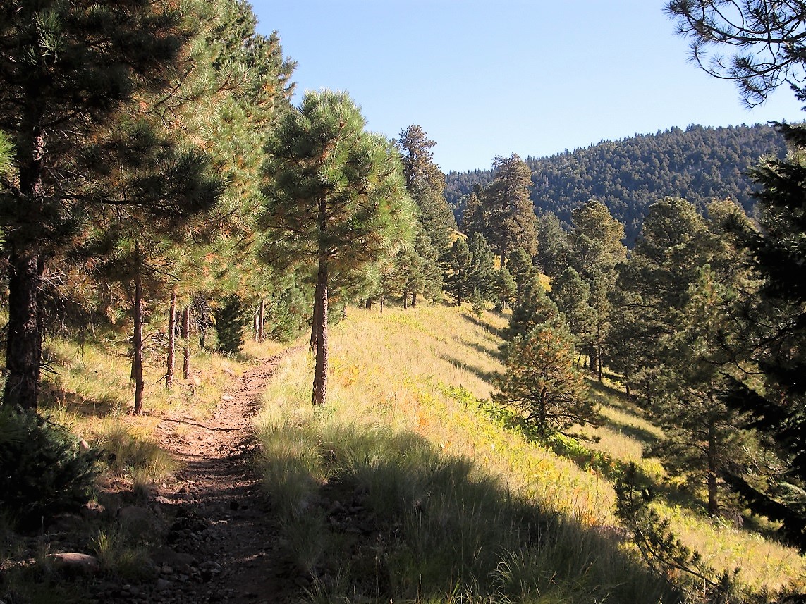
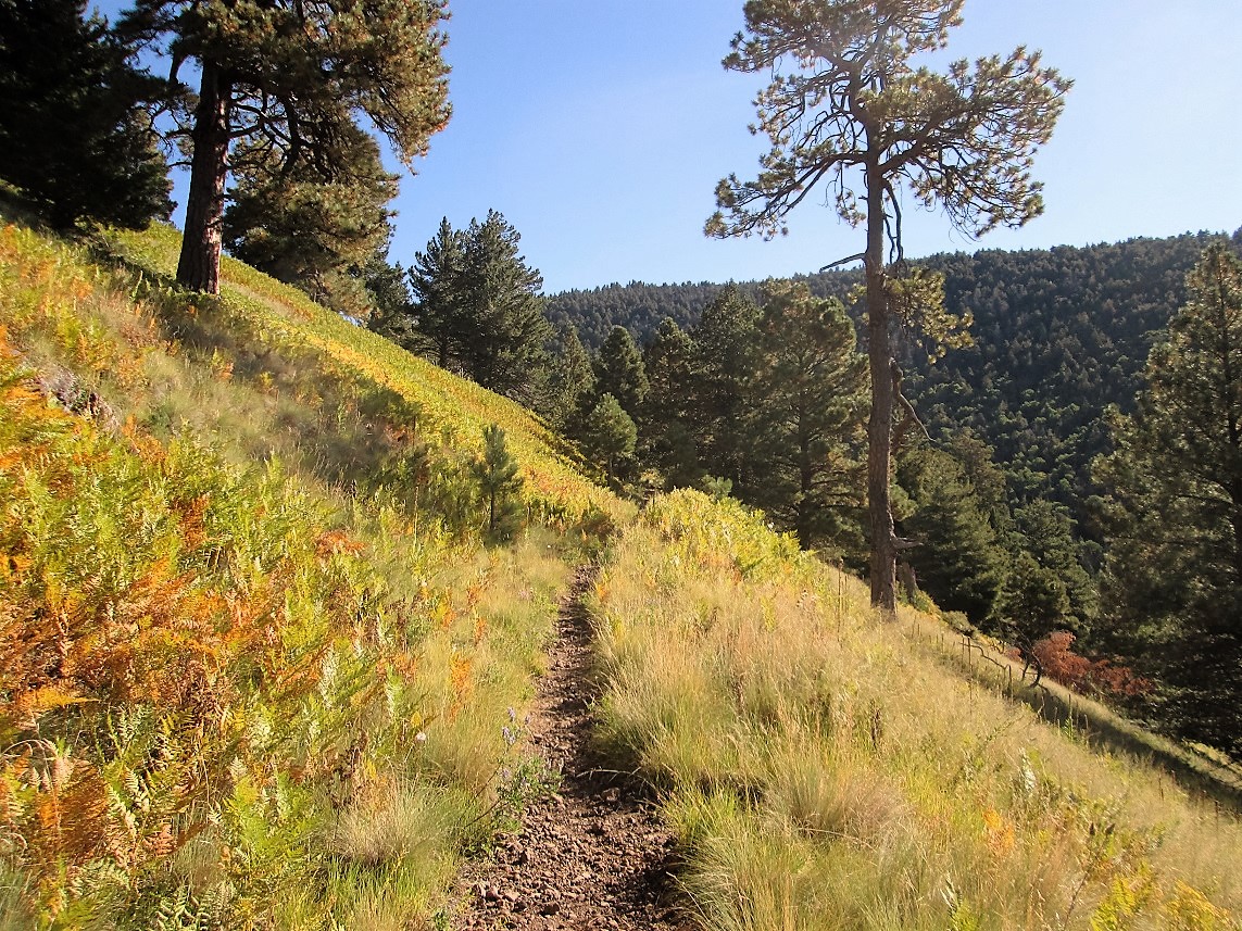
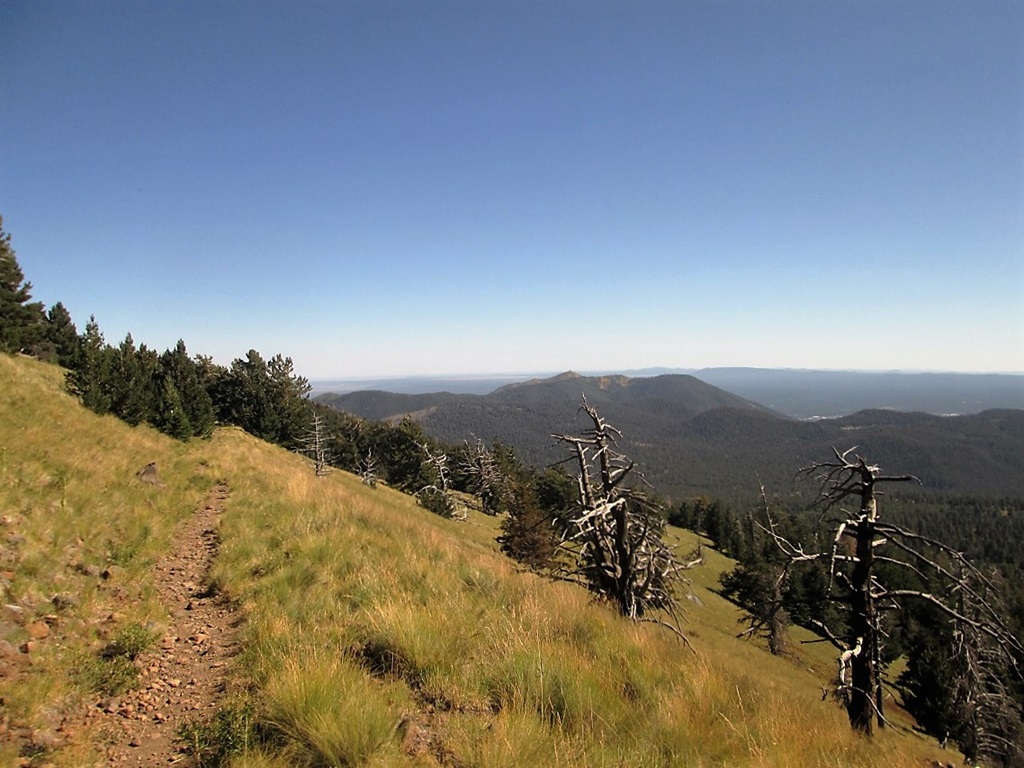
We were now within the canyons and gaining onto the main ridges coming off of the mountain. The route made long sweeping switchbacks, usually about a half-mile to a mile long each, some shorter. We would tramp through heavily-shaded forest then quickly break out into the open, amid sloping grassy meadows. The views were great the entire way. The tread would range from smooth to sections of baseball-size rubble. I slipped more than once.
After a couple hours, we were gaining onto the main saddle that connects Fremont Peak and Doyle Peak. The maps call this Fremont Saddle, which may or may not be an error in nomenclature. The signs all call it Doyle Saddle. We arrived onto the saddle about 9:30, and took a break underneath the shade of a single tree. We were kind of surprised to not have seen anyone else after those hunters down below, given how lovely a day we were having and how popular these trails are. We spent about ten minutes under the tree.
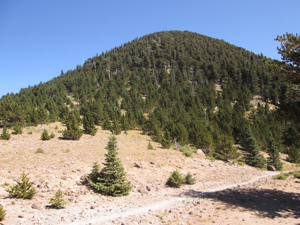
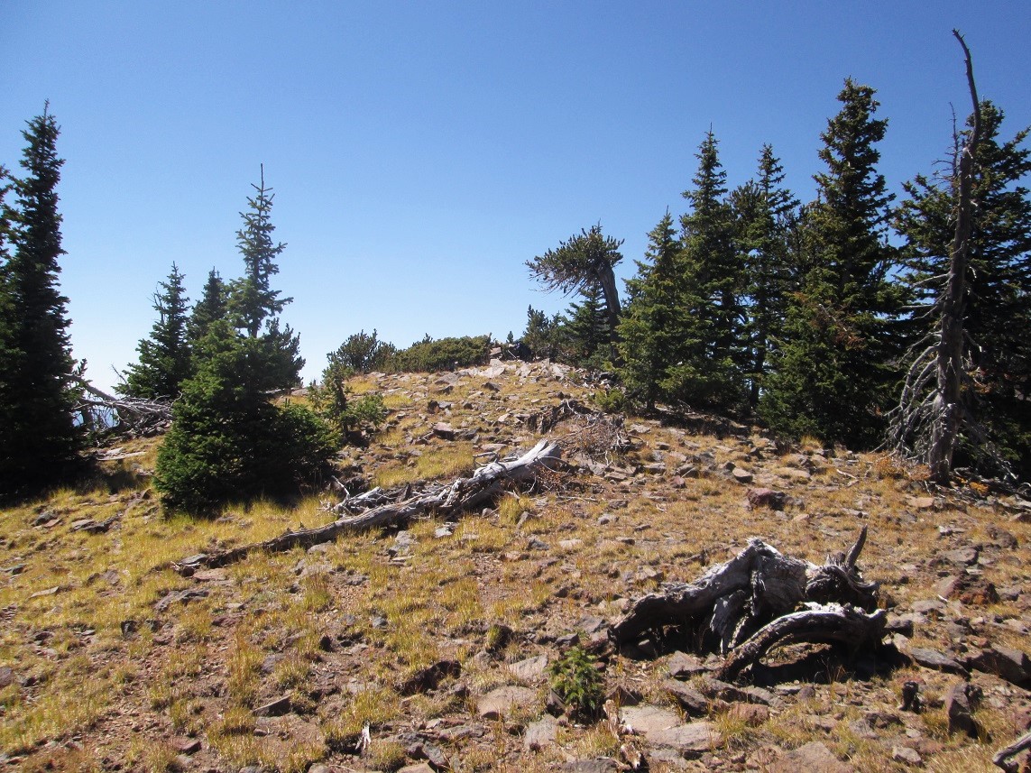
We were about 650 feet below Doyle Peak's summit. The peak itself is a symmetric hump of rock and loose soil. Old sources say "follow a mule path", built presumably to supply a small cabin that once held observatory equipment way back in the olden days. The observatory was long since been removed, the cabin is usually a wreck, and there was no hint whatsoever of any trail. We just started walking upwards, wending through the trees and lower brush. The first couple hundred feet went well, then things got steep.
The next couple hundred feet were tough. The slope steepened and was often loose, with sand-like consistency. The big rocks often were not solid, just sitting on the loose scree. We moved carefully, and soon, were on firmer, less-sloping terrain. We were near the top. The highlight was spotting a beautiful bull elk, with massive antlers covered in velvet. He would scamper about 50 feet up ahead then watch us. He played cat-and-mouse with us for about ten minutes.
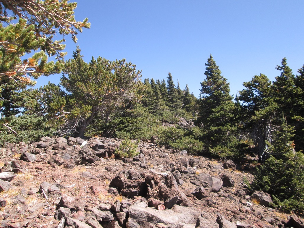
We soon came to a rockpile and register. We dropped the packs here and looked around, but both of us felt that points to the north and east may be higher, so we walked over and stepped on these other possible contending highspots. We could not tell which one is definitively the highest, and the trees are just thick enough to block line-of-sight views. We covered all bets, though, and returned to the first rockpile to relax and to "officially" sign into the log. We did not seek out the old cabin structure.
We spent about twenty minutes on the top. The day was beautiful and we had great views of Fremont, Agassiz and Humphreys Peaks. However, I was feeling a little wobbly, a touch of altitude sickness, which is rare for me. I just sat there. I drank some water, but didn't eat much. I enjoyed the break, but wanted to be moving sooner than later.
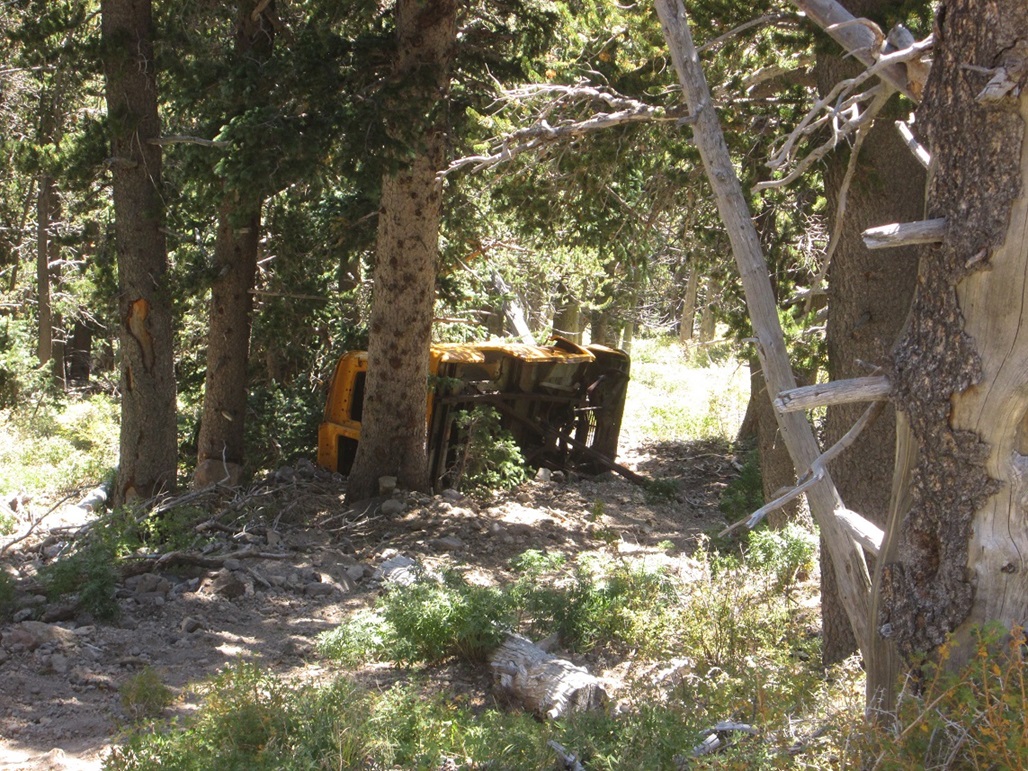
The hike down went well. It was loose and slippery, but nothing impossible. We convened for another small rest at the tree in the saddle before starting the long slog out. Just below Doyle Saddle, we saw a vehicle downslope, on its side, wedged between two trees. The only hint of a date I could find on this was from Summitpost, where some speculate it dates from the early 1960s, based on the vehicle itself. It is arguably the highest-elevation vehicle in the state, and I am sure there's a great story of how it got there. The things you see on hikes!
The downhill grades were just as lenient as they were going up, and I enjoyed the great views, but it was kind of tedious at times, too. We took a couple breaks and finally met up with some hikers, all of whom seemed to have a dog off its leash accompanying them. Must be the law up here.
We were back to the trailhead at 4:30 p.m., a 9-hour hike. I was bushed. I changed into dry clothes and we packed up, watching a bunch of hikers just starting out on the trails, plus some hunters, too. This is bow season, or close to it. I suspect most were out for scouting for now.
I was actually battling a low-grade headache. I never quite lost that wobbly feeling from earlier. The headache was minor, a 1 on the 10 scale, but this is rare for me. I was properly hydrated, but I had not been higher than 2,000 feet since June. Going up to 11,460 feet that quickly was probably enough to put me back on my heels. I've only had altitude sickness once before — ironically, on Humphreys Peak back in 1998.
Matthias drove us back into Phoenix. We shook hands at the Denny's and got moving, me back to Scottsdale. As always, I thank Matthias for his company and his selection of esoteric progressive rock bands I have never heard of, to listen to while driving. It seems 1972 was a good year for that genre.
The Saddle and Peak nomenclature: On the USGS topographical maps, the saddle between Agassiz and Fremont Peaks is called Doyle Saddle, while the saddle between Fremont and Doyle Peaks (where we were today) is called Fremont Saddle. This would seem to be in error, since it would make more sense to call the first one Fremont Saddle, then the second one Doyle Saddle. In fact, the Forest Service signs call them this way, and the signs all said "Doyle Saddle", being the one the map calls Fremont Saddle.
The Wikipedia page actually suggests the saddles are correctly named. but that the peaks are not! Apparently, what we call Doyle Peak was known as Schultz Peak, while a small ridge emanating west off of Fremont Peak was known as Doyle Ridge or something like that. What we know today as Schultz Peak, a 10,000-foot bump on the ridge south of Doyle Peak, had no name. Somehow, the peaks may have been misnamed on the maps. However, if this is so, it has been lost to history. The peaks' names seem to be "official" as far as the Forest Service and everyone else is concerned, even if they originated in error.
Distance: The signs say 6 miles from the Schultz Tank Trailhead to Doyle Saddle, but some sources that list GPS waypoints suggest the mileage to be closer to 7 miles each way. I guessed it another half-mile each way from the saddle to the top and back. The hike was long, and 15 miles may be a reasonable mileage figure.
Hike Fremont and Doyle together? Because these peak share a common saddle and require a good hike just to get to this saddle, many people hike both peaks the same day, obviously to get more bang for the buck. For those who don't live close by, I can understand the desire to hike both and not have to come back for two separate hikes.
This had been our plan, too, back in June. However, the hike up Fremont Peak is not a quicky ridge-walk, and we elected not to retrace our steps. Since we're both Arizona-anians who can come back here pretty much on a whim, we felt that it would be more fun and less stress on the old legs to hike the two peaks as two separate outings.
It is certainly possible to do both the same day. But don't let the stats fool you. These two peaks are a little tougher than they may appear, with just enough brush, rocks, loose scree and other barriers to slow one down. If you want to do both, build in the time necessary, especially if it's during the monsoon when storms often build by 11 a.m.. Just my two cents.
|


|