|
|
|
Date: December 30, 2020
• Elevation: 6,383 feet
• Prominence: 483 feet
• Distance: 4.2 miles
• Time: 1 hour & 20 minutes
• Gain: 580 feet
• Conditions: Sunny and clear, but very cold with a strong breeze
Arizona
•
Main
•
PB
•
LoJ
•
USGS BM Datasheet
•
City HPs List
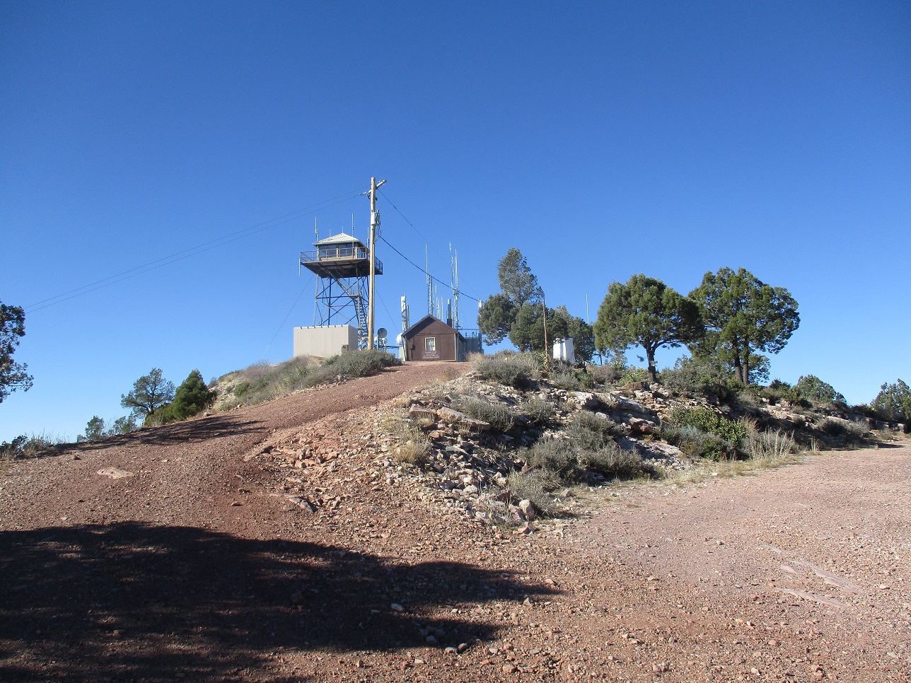
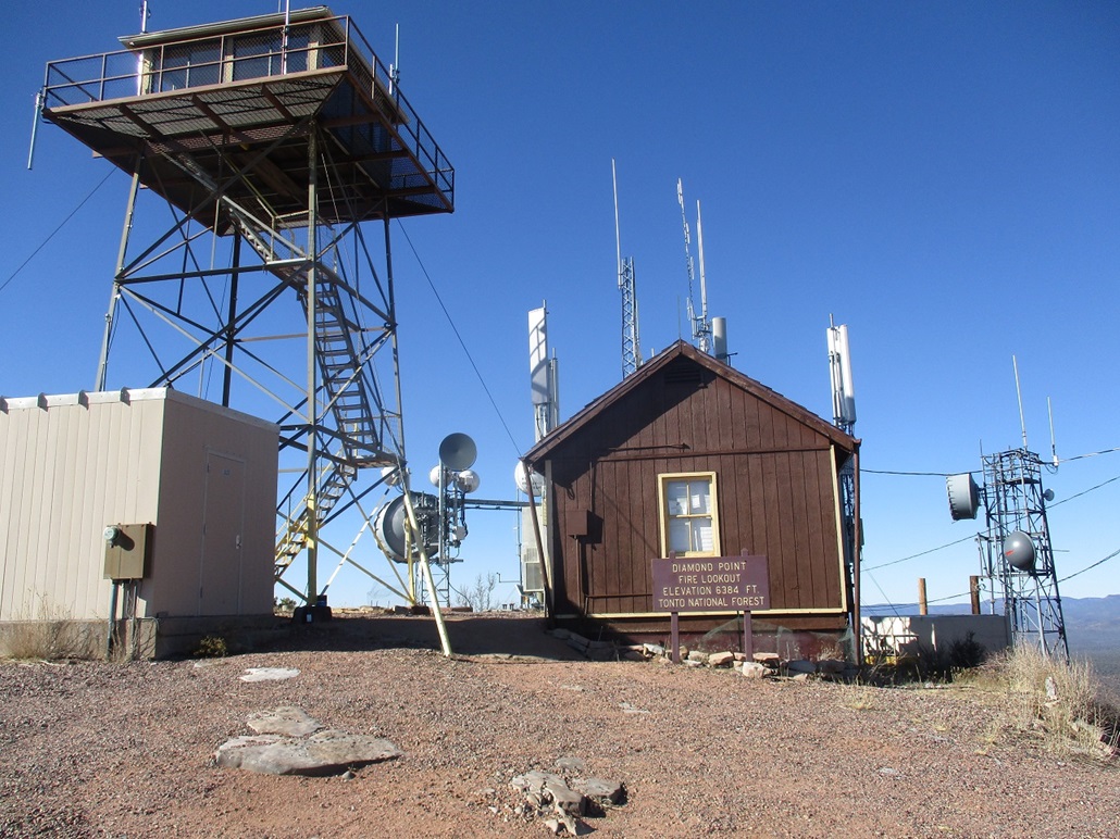
Diamond Point lies northeast of Payson, and is an obvious pointed summit along the Diamond Rim. The forest service keeps an active lookout on top the peak during fire season, and there are communications towers there too. The peak also happens to be the highest point within the city limits of Star Valley. The city incorporated a square of land along section-line boundaries six miles to a side (essentially, a township) that contains it, thus encompasses a lot of extra forest land surrounding the main part of Star Valley.
An excellent all-weather hardpack road goes to the top of Diamond Point, but the last quarter-mile is gated shut with signs mentioning that only authorized users can proceed, and that no public use is allowed. Climbing the peak is very simple and not a challenge, other than to be willing to lightly trespass beyond the gate. (Strictly speaking, I did not see any "No Trespassing" signs.)
Beth and I were here in July 2018. The plan was to drive to the end of the public-access part of the road that overlooks the cliffs, then I would run up and tag the top. However, the gate was shut with those aforementioned signs, and I backed off. Instead, we spent an hour walking around the area and watching the sunset. Since I moved to Payson earlier in 2020, I've come back twice to Diamond Point on a whim, hoping the gate would be open. Both times it was closed with extra signage and yellow tape strung up everywhere, no doubt extra measures as a result of the pandemic. Since the peak is so close to home, I could come by easily. Its summit was never high on my list, but it was something I wanted to tag at some point in my life.
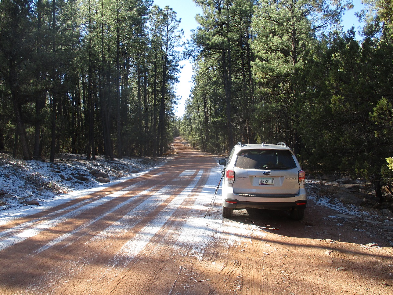
Today was a perfect opportunity. We had a weak storm pass through yesterday, dropping a dusting of snow. I figured there would not be anyone at the lookout given the conditions. Plus, it was sunny and blue, a beautiful winter day. And it was close to home where I could be here in minutes, and the hike would not take all day. I left home a little before 10 a.m., drove eastbound AZ-260 a dozen miles to the Control Road, then west about five miles to the "Diamond Point Summer Homes" area, where Tonto Forest Road 65 heads south to Diamond Point, 4 miles away says the sign. The drive took about 20 minutes.
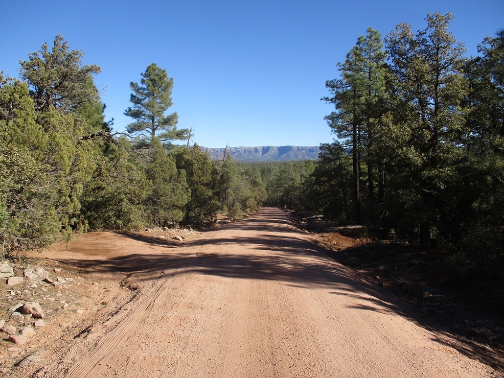
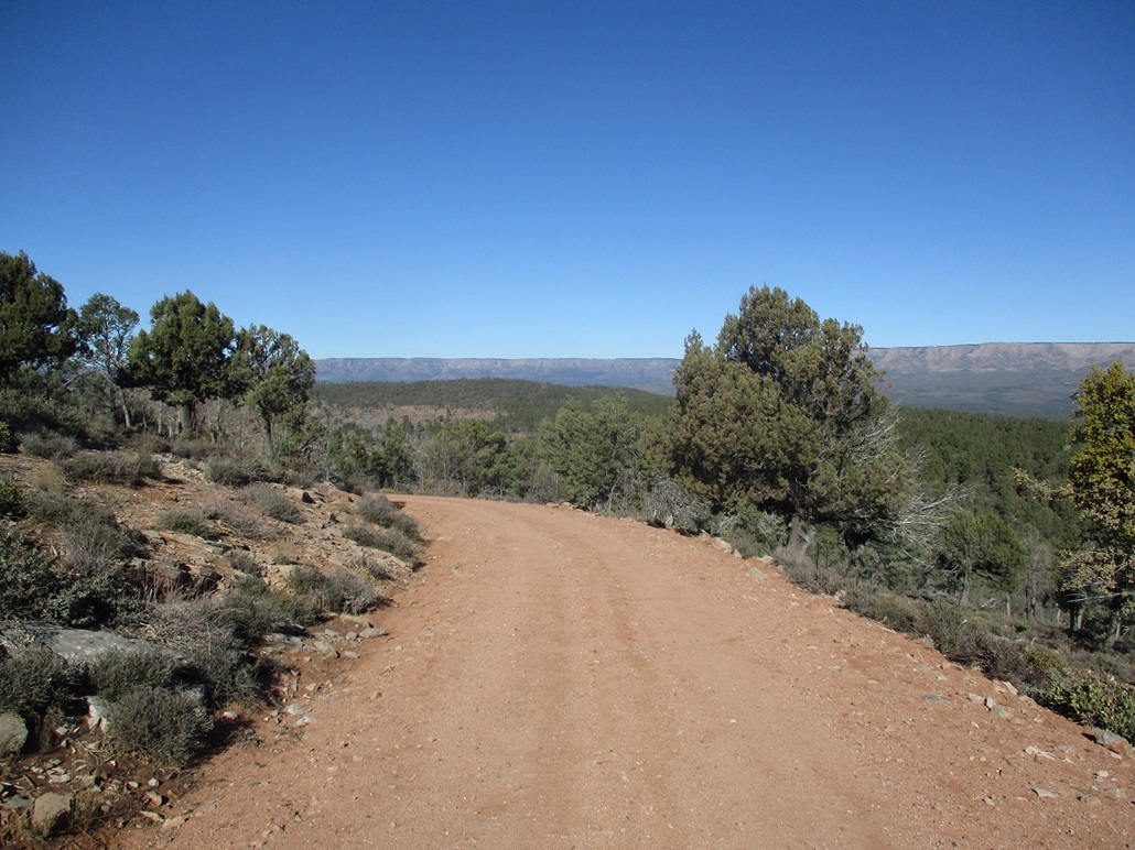
There was more snow up here, but not much, just a general dusting about a half-inch deep in spots. Anything in the sun had melted off already. I drove up FR-65 a couple miles, deliberately parking early, somewhere near Diamond Point Tank, roughly halfway toward the end of the road. I wanted a hike, and the day was gorgeous. It was chilly, about 35 degrees, when I started walking. I followed the road, which was lined by the ponderosa, shielding me from the wind. In about 30 minutes, I had covered a couple miles and was at the rim, and the gate that bars access to the top.
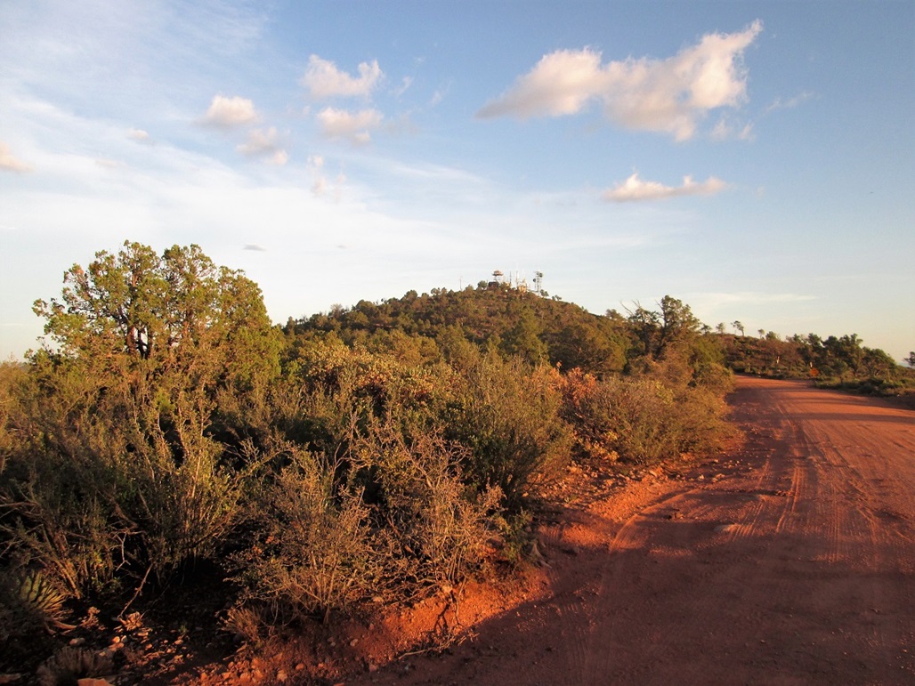
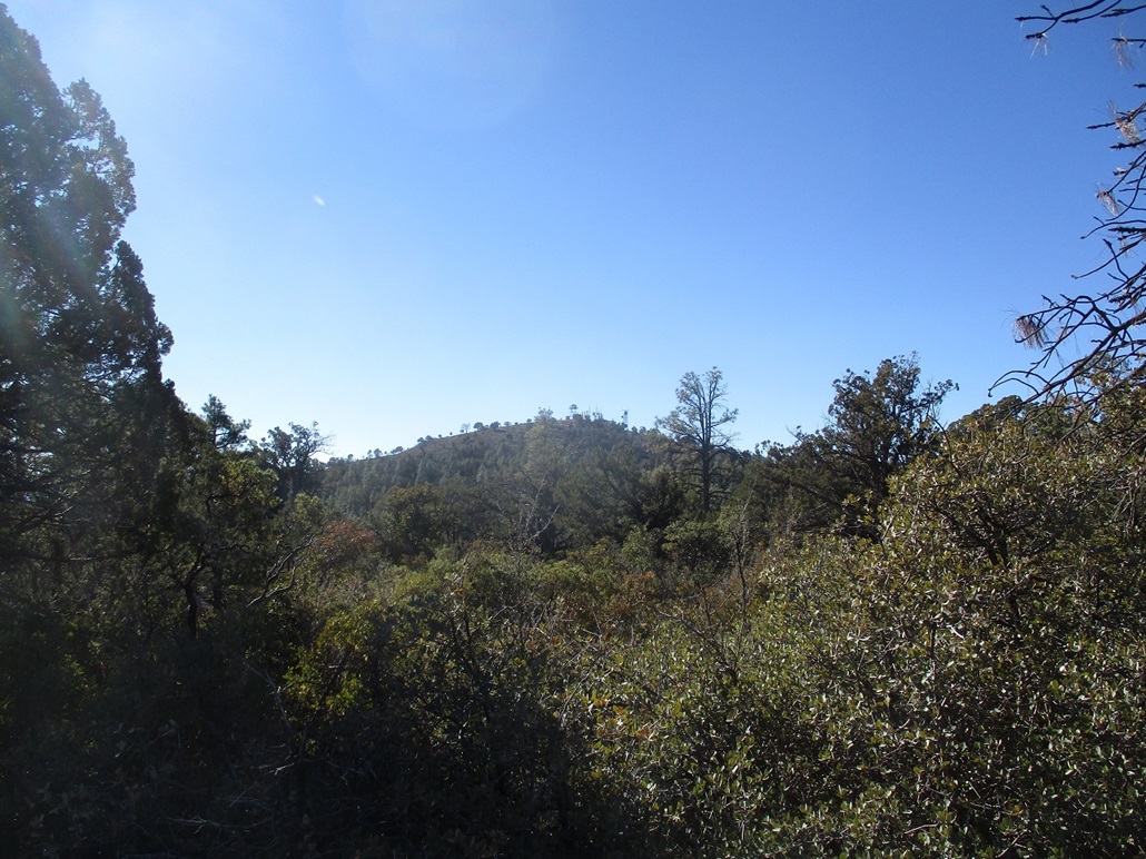
Up here, out of the trees, the wind was strong, about 20 miles per hour with gusts about 40 miles per hour. The temperature was no higher than 40 degrees. The views were stunningly clear, but I kept moving to keep warm. I walked to the gate. The yellow tape was gone. I stepped over the gate and started walking uphill to the top. In about 10 minutes, I arrived to the top, a small batch of buildings including the lookout, a residence, a big communications tower, and a few shed-like structures. No one was home. However, in the stiff wind, it was uncomfortable to stop or be still. I walked to the top-most areas, tagged a few rocks, took a couple photos, then just started down, never actually stopping. I was aware there is a benchmark here but I did not immediately see it, and wasn't too motivated to search around for it.
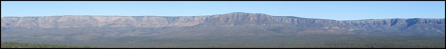
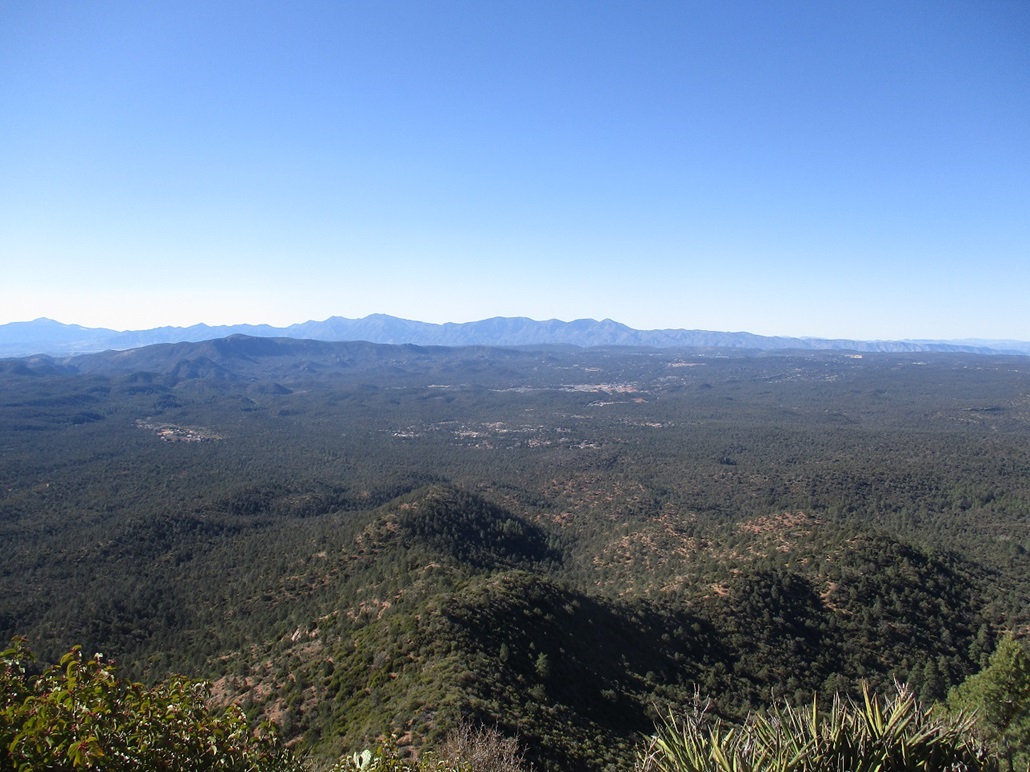
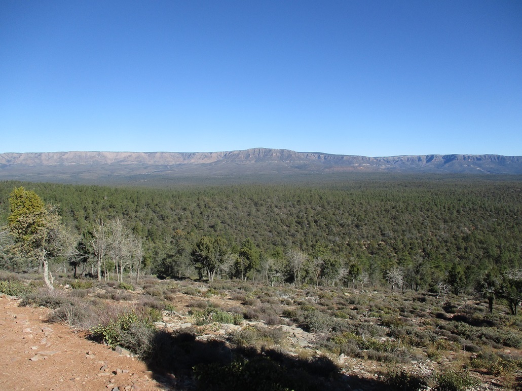
The best views were north, looking back at the Mogollon Rim. With this elevated perch and no trees to block views, the Rim swept a clean line along the whole north horizon. It was beautiful, hard to capture in a single photograph. Once back on the "legal" side of the gate, I just kept a decent pace and was back to my car about 11:40 a.m., by now a little chilled after all the cold wind. However, I was feeling good and the hike had gone well, a 580-foot gain covering a little over 2 miles each way. This was not an epic hike by any means, but it was fun and satisfying to tag its top. The fourth time was the charm, as they say.
Normally, lookouts and peaks with communications towers aren't gated or cordoned off, or maybe just the individual structures are. I was not concerned that the lookout person would shoo me off, as they usually like company, and not really sure what kind of trouble I'd be in if anyone saw me. I suspect that the top is gated shut since the road to it is so accessible and would likely be overrun with casual visitors otherwise (no doubt some pulling 35-foot trailers). Anyone who wants to visit the top will have to hike the last quarter-mile, which may scare off some percentage of the visitors.
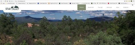
Star Valley's website, with Diamond Point to the left
and Green Valley Hills with the star.
|
|