|
|
|
Date: April 25, 2022
• Elevation: 4,680 feet
• Prominence: 305 feet
• Distance: 2 miles
• Time: 50 minutes
• Gain: 440 feet
• Conditions: Sunny, hazy
Arizona
•
Main
•
PB
•
LoJ
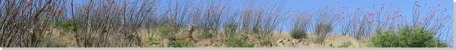
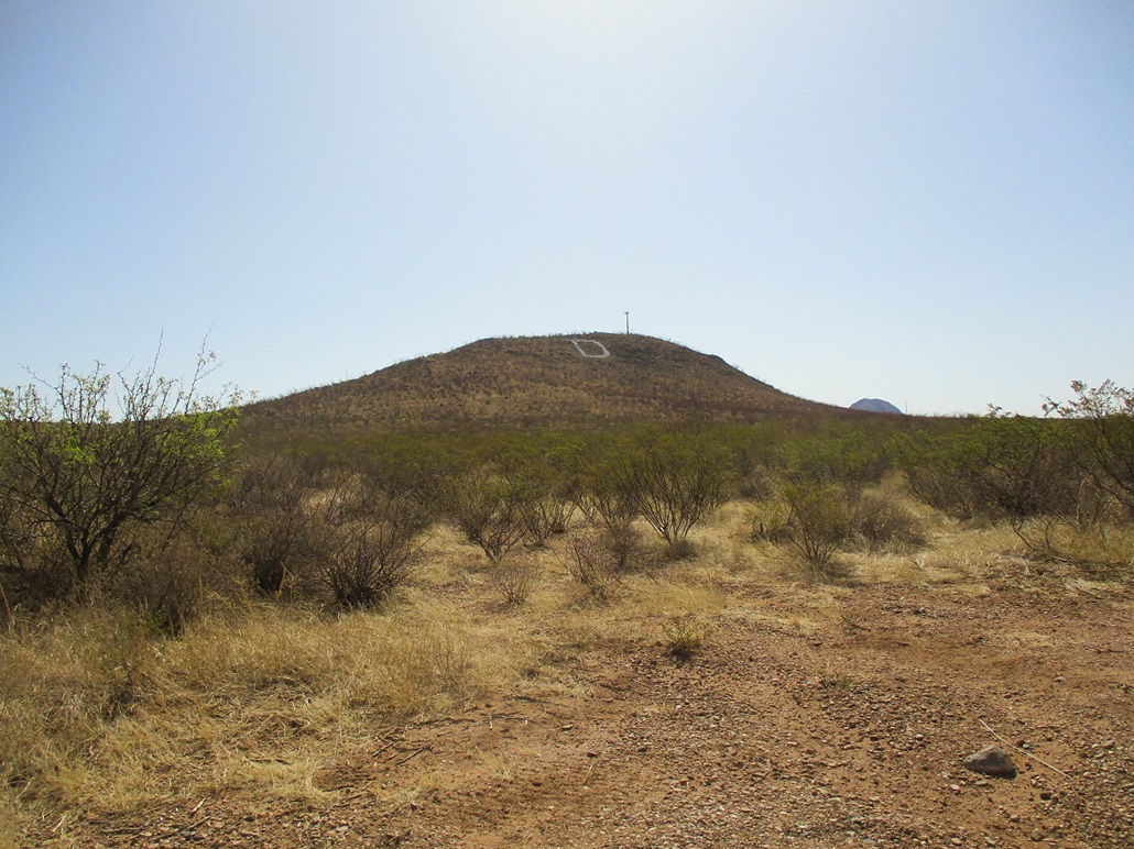
D Hill is a hill east of Douglas, in southeast Arizona along the Mexican border. There's a big "D" on the hill's west slope. I did some research and determined the D stands for Douglas.
Don't ask why I was in the area. Suddenly, consciousness awashed over me and I was in Douglas proper, entering from the west via state route AZ-80. Douglas is a tight grid of streets and I needed to get to the east side of town. I think I followed 15th Avenue. It passed by a couple schools and looked like a main road in the area. The homes were well-kept and orderly, most with brick construction from about mid-century, not the stick-&-stucco jobs you see everywhere in and around Phoenix. Not a bad little town. I think I've been here one other time.
On the east side, I got onto The Geronimo Trail, a paved and dirt route through the mountainous hinterlands east of Douglas, eventually leading to Lordsburg in New Mexico. Note to self: I gotta drive this road some day. The hill is about three miles east of town, visible the entire way.
The de-facto parking area and trailhead is northwest of the hill at Rogers Ranch Road, but I parked a quarter-mile west on an unnamed road because I wanted an image of the hill and its D from a little farther out. There is an asphalt sidewalk that parallels the main road and it seems to be popular with joggers and walkers. I saw a couple as I rolled in, the time about 8:30 a.m.. The day was pleasant, in the low 70s, a sunny but hazy sky with no clouds.
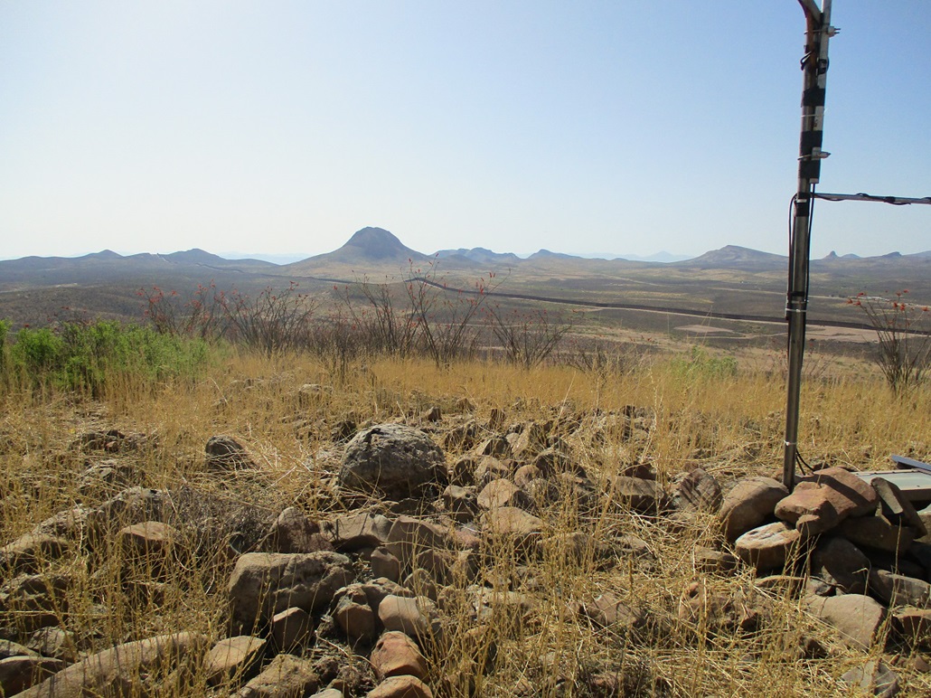
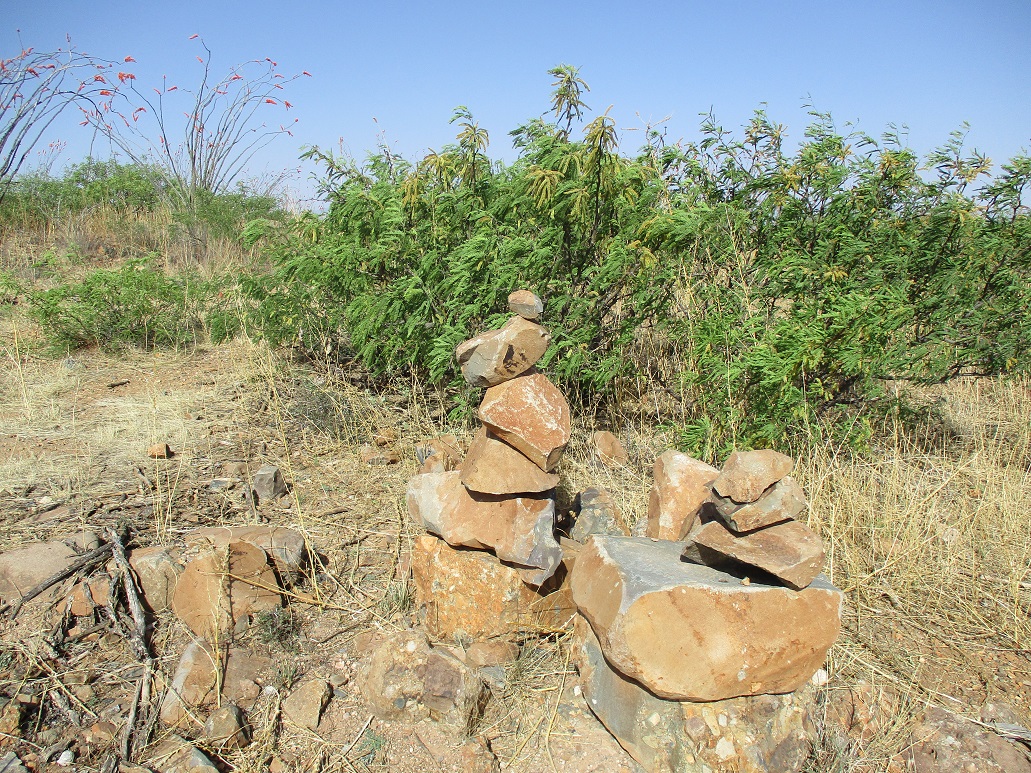
I walked east on the sidewalk then caught a dirt track that leads uphill to the spine of the hill. I had to shimmy through an opening in a fence. This put me on a concrete road that leads to the top. It was easy to walk this road. Along the way, someone apparently likes constructing cairns of carefully-balanced rocks, not to mark a trail but just for amusement. I snapped one image. I was up top quickly. There are towers on a lower summit. Today, there were two Border Patrol vehicles parked.
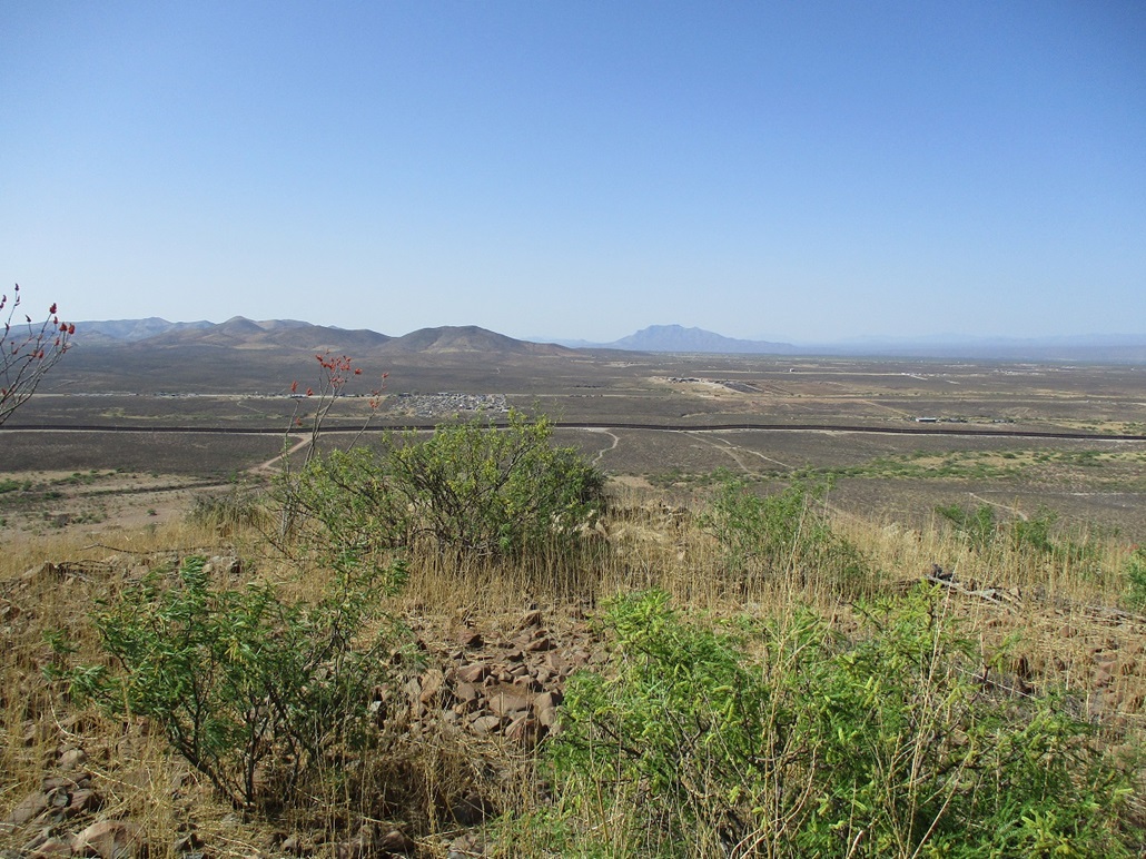
I walked past them and followed a road south about 200 feet to the real highpoint. This required a quick walk through low grass and rocks to the top, where there is a small box-like building about 5 feet tall inside a fence. I had good views. The Mexican border was less than a mile south, and I snapped a few images of the border wall, there to give midwesterners a feeling of safety. I didn't stay long.
I hiked out the same way. While still on the concrete road, one of the BoPo vehicles came down this road. I stepped aside and raised one of my hiking poles, and he waved back. Once back on the flats, the sidewalk I mentioned was teeming with more runners, walkers, people walking their dogs, and so on. It's a popular way to get out and exercise here. I thought that was cool. I was not expecting anyone when I was here.
Done with Douglas for now, I drove home, following US-191 to Interstate-10, then to my Tempe domicile. It was hot, in the mid-90s. I thought about another short hike up Rillito Benchmark in Tucson, but given the heat and likelihood of snakes, I passed on it and will wait when it cools.
|