The Mountains of Arizona
• www.surgent.net
|
| Cramm Mountain |
• New River Mountain Foothills • Tonto National Forest • Maricopa County |
|
Date: August 13, 2021
• Elevation: 3,938 feet
• Prominence: 308 feet (per Lidar)
• Distance: 4 miles
• Time: 90 minutes
• Gain: 780 feet (gross)
• Conditions: Very warm and very humid
Arizona
•
Main
•
PB
•
LoJ
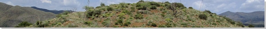
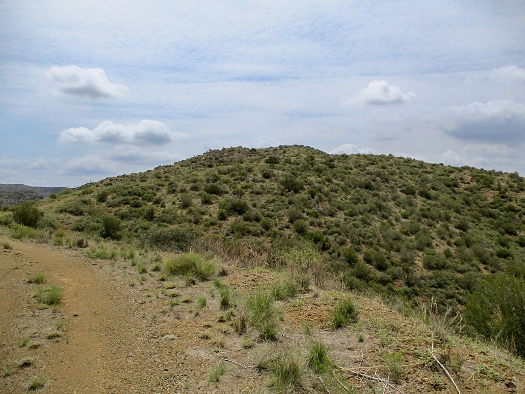
Cramm Mountain is a hill west of the Seven Springs area of the Tonto National Forest, north of Cave Creek. The peak is part of old (and current) mining claims and has roads all over its sides and top. It's not a particularly pretty mountain and it's fairly well hidden behind foreground peaks if driving Forest Road 24. I chose to hike it today precisely because it had roads to its top. I wanted no bushwhacking at all this time of year.
I had some phone calls this morning, then by 10 a.m., not much on the agenda. It was warm outside, in the low 90s, and cloudy. I looked at Cramm Mountain as an option because it was not too far a drive, it would be about 2,500 feet higher, which would mitigate the temperatures, and it has the roads I was talking about.
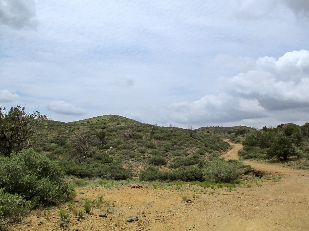
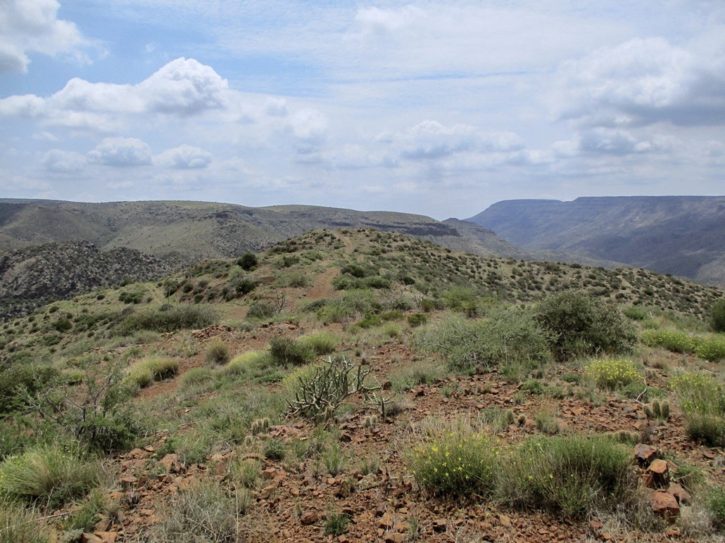
I took the usual route through Cave Creek (Scottsdale Road, Cave Creek Road, which morphs into FR-24). After pavement ended, the roads showed erosion and small slides from all the recent rains. I drove northbound slowly, there being no one here (I saw just three vehicles). About 8 miles from where pavement ended, I was in the Seven Springs area. I went north about a mile, then eased west onto FR-468. I was able to get in about a quarter mile before parking. This road was not as well maintained and had many ruts from the recent rains. I parked in a pullout, plenty in the area to choose from. It was 12:20 p.m., and 82 degrees outside, which was quite tolerable. However, it was very humid. The clouds were more abundant up here, big puffy ones and a higher layer of cirrus. It muted the sun and provided some shade.
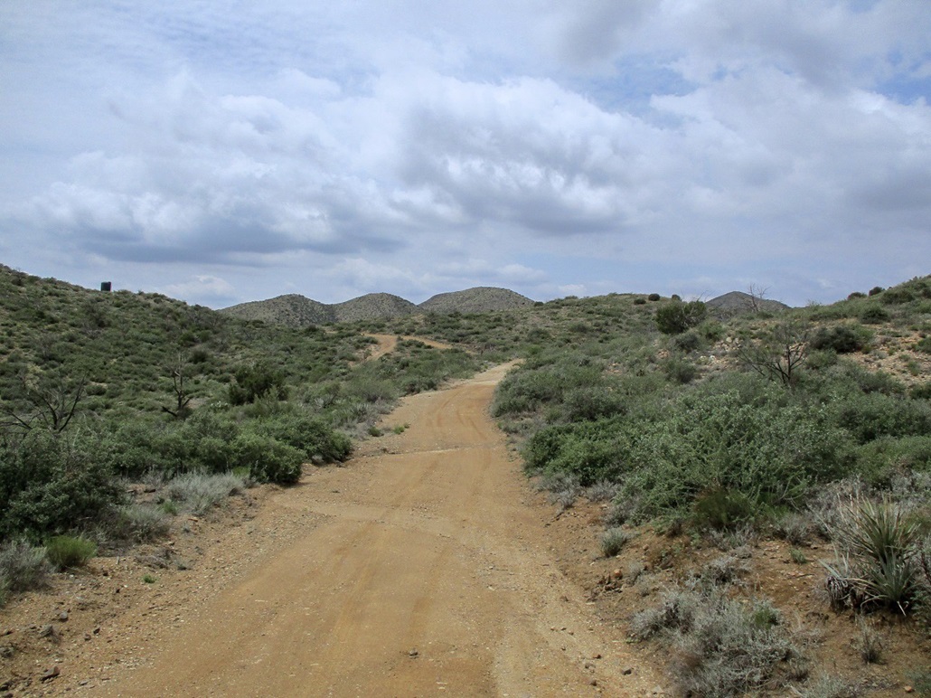
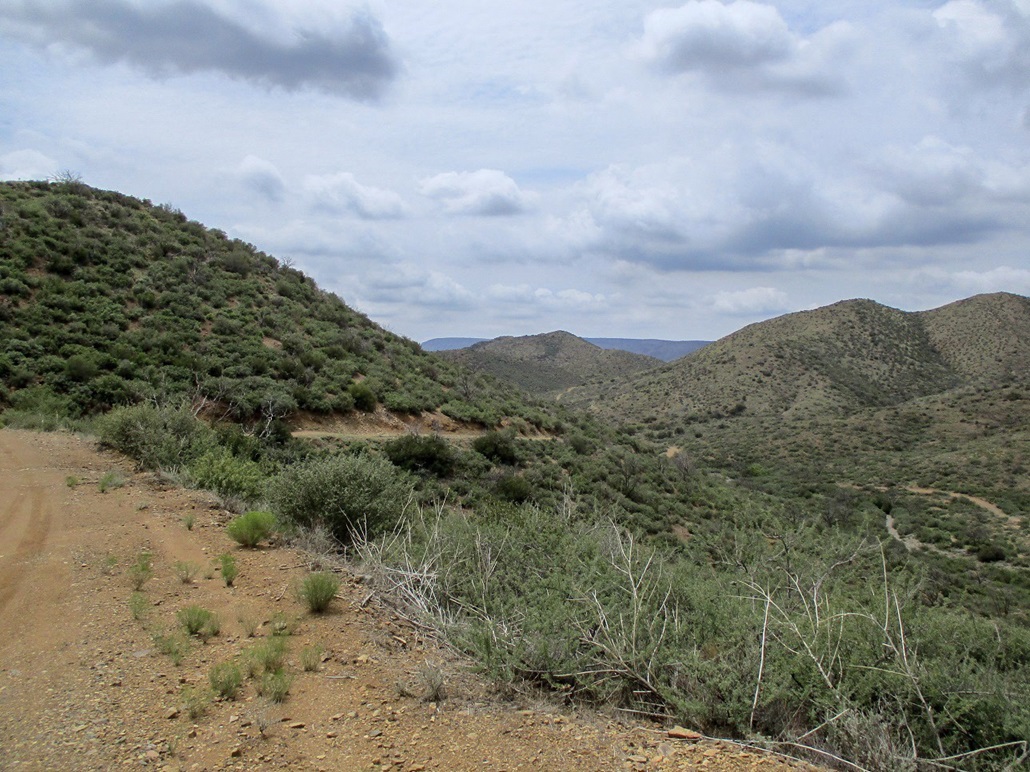
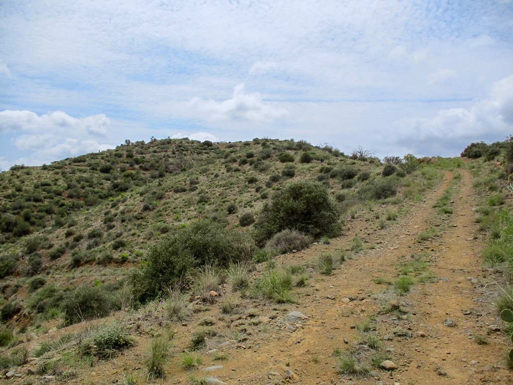
I started walking, and it was uncomfortable but manageable. The road heads uphill, then reaches a small pass where Cramm Mountain is first visible, slightly lower than the higher hills to the north and west. Next is a nearly 200-foot drop to a lowpoint (spot elevation 3525 on the map). The road crosses a creekbed, goes past a gate, then drops again, about 50 feet. Finally, the road starts uphill again and does so all the way to the top. I kept to the obvious main road, ignoring all side roads. The main road is solid and mostly clear of debris and brush. The side roads clearly see little traffic, if ever.
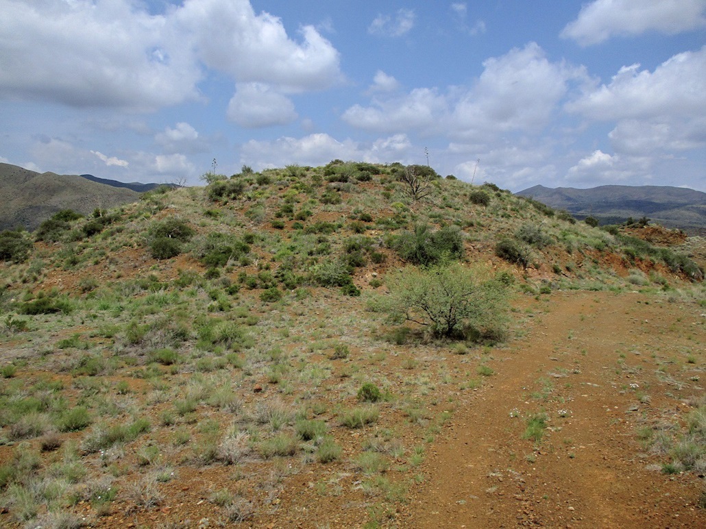
I was on top after about 45 minutes. The road leads onto the summit ridge, and the highest point is obvious, a short right uphill from the road. On top is a cairn and an old "USLM #4861" post. I haven't seen too many of these and was tickled to encounter one. It's not marked on the topographical map.
USLM stands for United States Location Marker or Land Monument. They're each numbered and recorded and were used as reference points to help demarcate land boundaries in the days before the Public Lands Survey System (PLSS) was used to define tracts of land. USLMs generally were placed in the late 1800s and up through about 1920. They have an advantage of being placed in an "obvious" point (e.g. a mountaintop) so that it's easy to draw bearings from it, rather than try to use the PLSS grid system in an area such as this, where the land is too hilly to make a grid layout practical. You can read all about it at this link, which shows how this USLM is used as a starting point for the surveying of the current mine's boundaries. See page 4 for a reference to USLM 4861.
I did not stay up long. The one-way hike covered about 2 miles and I was feeling the warmth toward the end. When the sun was behind a cloud, it was barely pleasant. When the sun came out, it was uncomfortable. The air temperature likely never got above 90°, but the humidity was oppressive. I was sweating like crazy.
I started down, now with gravity helping. I went slow and would stop often when a breeze would kick up. I hiked down to the low point, then up the short 50-foot gain to the creekbed at spot elevation 3525. I was hoping I'd have a cloud block the sun for about ten minutes as I went up that 200-foot gain, but none did. It was sunny and hot, and I was lagging now. I started to have thoughts about what a dumb idea it was to hike this in the middle of the day in mid-August. Getting up that 200-foot segment went slow and yes, I was pretty wobbly when I got to its apex. The remaining hike was downhill and I was back to my car at 1:45, a near 90-minute hike.
I quickly changed and started the drive out. I was soaked and uncomfortable. I drove out the dirt roads back to pavement, then turned on the AC in the car to really cool me down. I drove home, taking the same route as I did driving up. Traffic wasn't too bad, it was still a little early for the rush hour.
I could not find any references for the name Cramm. The current mine owners use the name Bearup. It does not appear any actual mining takes place here. There are a few diggings but nothing active, no machinery or signs or anything. People come back here in their jeeps and shoot things, that's about the main use for this peak these days. It would be possible to drive to the summit in a reasonably-suited vehicle like a Jeep. The road is mostly pretty good, but there are two creek crossings with steep-cut sides, and the usual segments of rocks and bad ruts.
The maps do not show a summit elevation. However, the BLM website has it marked as 3,938 feet, which is what I use here.
|


|