The Mountains of Arizona
• www.surgent.net
|
| Cat Mountain |
• Tucson Mountains • Tucson Mountains Regional Park • Pima County |
|
Date: January 11, 2014
• Elevation: 3,852 feet
• Prominence: 1,062 feet
• Distance: 4.2 miles
• Time: 3 hours
• Gain: 1,200 feet
• Conditions: Clear, cool but warming up
• Teammates: Scott Peavy
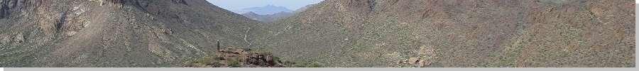
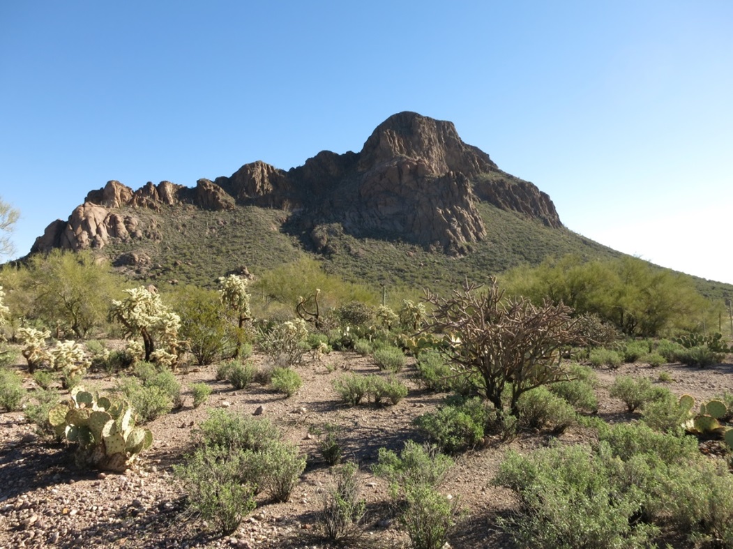
Cat Mountain lies southwest of Tucson, a tooth-shaped peak with cliffs and a narrow ridge that looks like it would be difficult from down below, but, as we would discover, isn't too bad once on it. This would be the second of two peaks that Scott Peavy and I hiked today, our first being Golden Gate Mountain about five miles north. From there, we drove to the trailhead for Cat Mountain, located off of Sarasota Road in a manufactured home retirement village. We parked in a clearing near a gate, on what the map calls Starr Pass Road. We started walking a little after 11. (This area has since been developed with a parking lot, better signage and maintained trails)
The initial segment is a third of a mile heading east along the Starr Pass road alignment, then left to a fence and opening, putting us on the Tucson Mountains Regional Park lands. We walked north along this narrower track for another third of a mile. This track looked like it was an old road, but these days it's strictly for hikers and bicyclists. This north-bound segment brought us to a saddle at elevation 2,790 feet, west of Cat Mountain and east of its neighbor, Little Cat Mountain.
The only information we had on an ascent route was a single report in which the person had busted straight up the northwest-trending ridge from the pass, but we immediately didn't like that idea at all. So we walked a little more and found a well-defined trail angling up the slopes. Some bicyclists had convened at the saddle, so we chatted and they hinted the trail goes to the "top". We may have had differing opinions on what "top" meant. In any case, we decided to follow the trail to see where it took us.
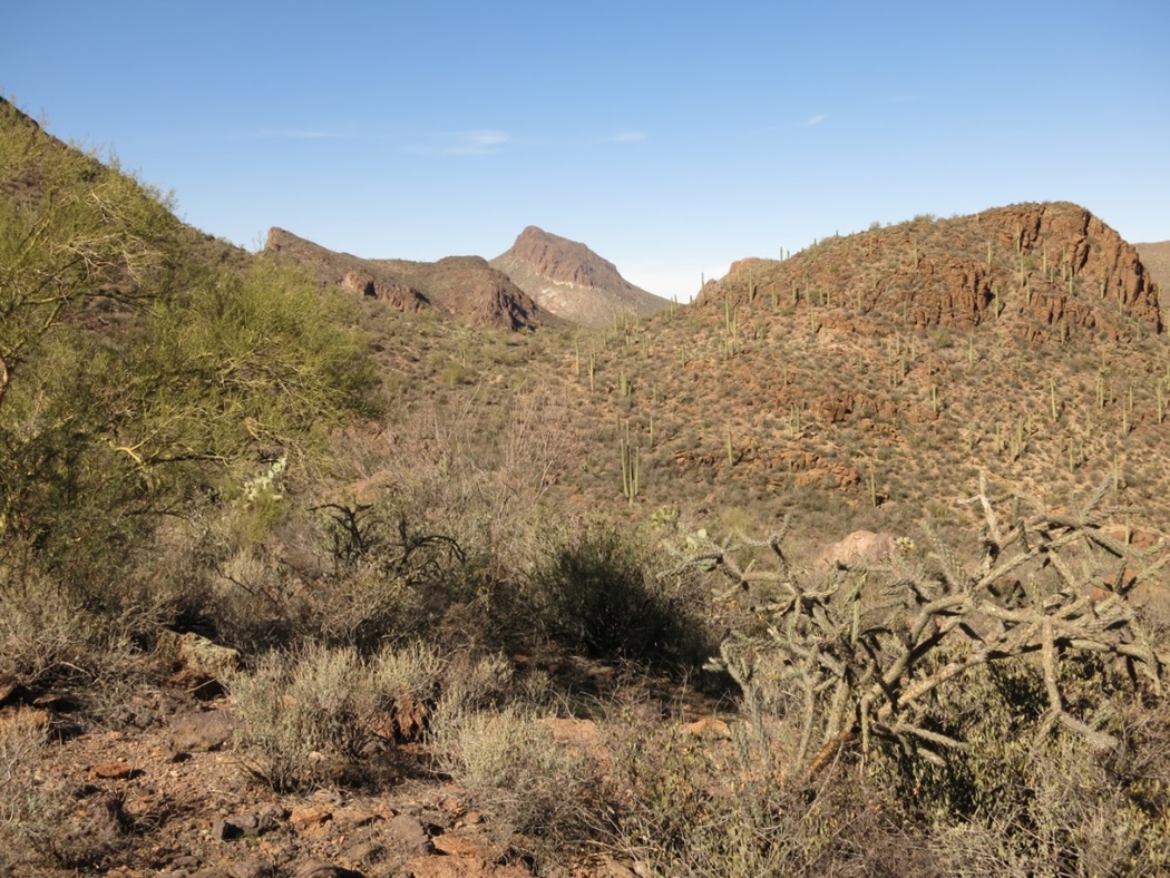
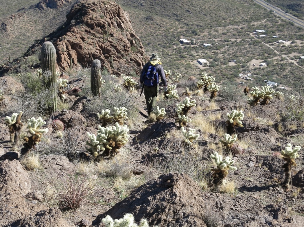
The trail meanders uphill then starts a traverse east, aiming for a saddle at 2,950 feet, near a small hill elevation 3,040 feet. We arrived here then watched the bicyclists who had gone ahead, and we watched them to get an idea where the trail led to. Looking ahead, we saw another small hill, spot elevation 3,059. The trail kept below that hilltop, but the slopes to the ridge from that part of the trail looked friendly.
We walked the trail to where it started to bend left near that 3,059-foot hill, and from there, walked directly up to gain a small saddle, elevation 3,050 feet. We looked up at the slopes above us. We had no information on this particular route, but it seemed so obvious that others surely have come this way. We hoped we wouldn't get cliffed out.
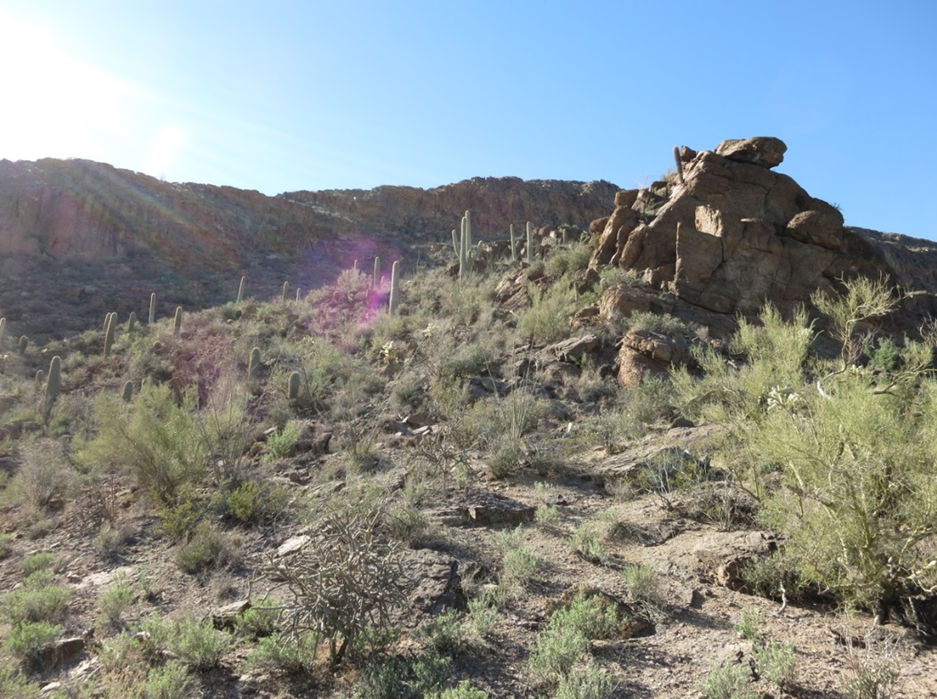
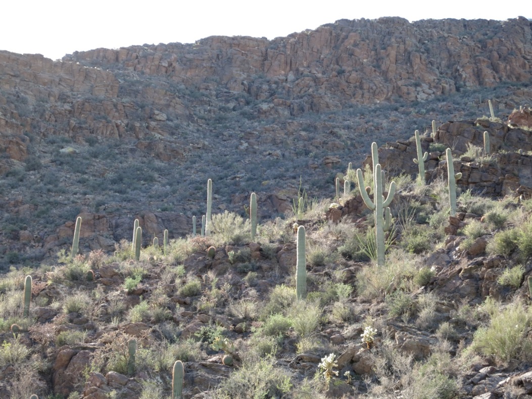
Looking up, one sees big rock outcrops above this saddle, and to the left, a big, messy slope of rock and brush. Higher up, it's nothing but big cliffs, but we could see a vegetated ramp way up there that went left through the cliffs. That looked very promising, so we started to trudge up the slope, aiming for that ramp.
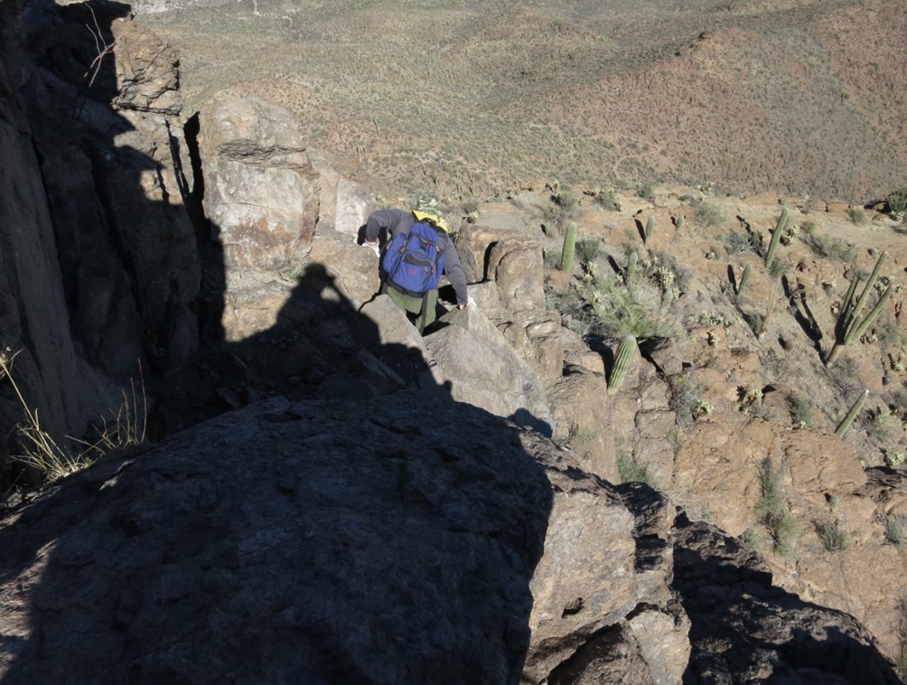
The going was easy and minorly sloppy. We found a cairn here and there, which gave us a little hope we were doing something right. We had climbed about 300 vertical feet and were starting to get ourselves among the bigger rock outcrops below the cliffs. We had overshot the ramp because we didn't see it, but from slightly higher up, it was plainly clear, so we downclimbed to it, then angled to it.
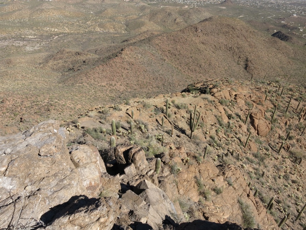
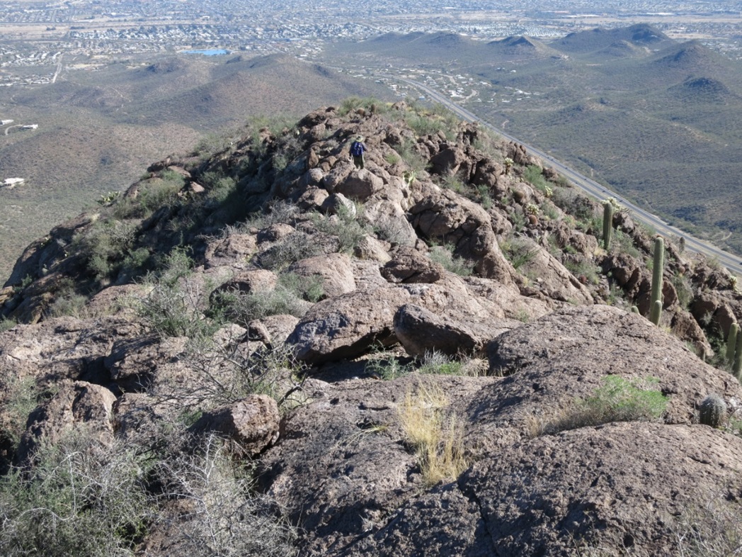
Here, we found a path and followed it to some rocks and the crux of the hike. We had to wiggle around a large rock to the land above it. This move wasn't difficult, but it as exposed enough that a fall could be very bad news. The hand and footholds were solid. It was just the airiness that prompted the free flow of adrenaline. Once above this tiny cliff, we were now on the highest ridge of Cat Mountain.
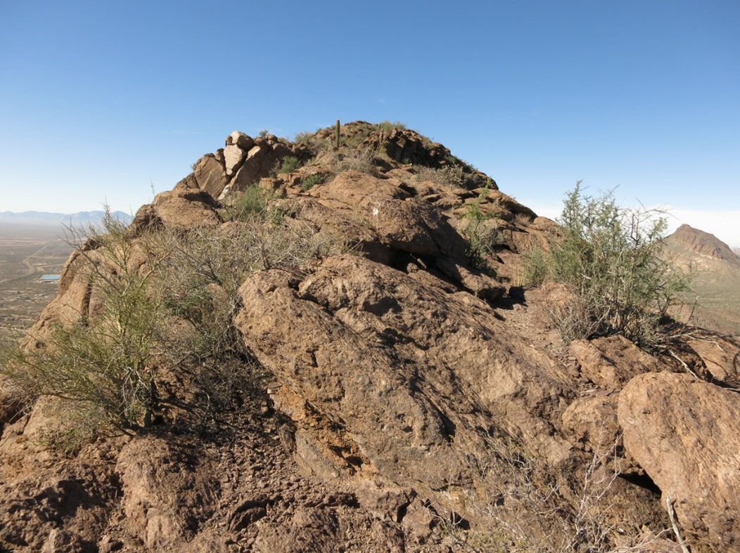
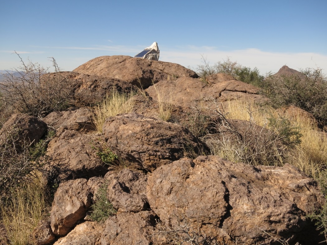
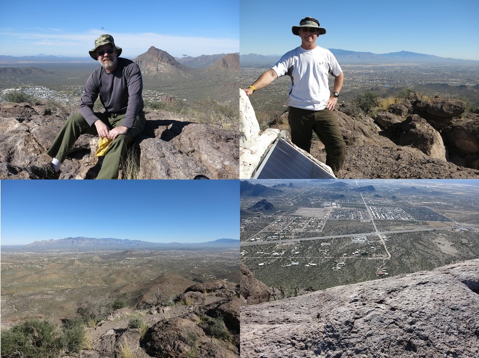
We were about 200 feet below the summit, but the ridge was wide and safe, and it lay back well. We walked up heaped rocks and sections with soil and brush. There were a couple spots where the ridge narrowed, but never severely. We were at the summit about 12:40 p.m., a 90-minute climb. The top is a bare rock, with a Pima County Sheriff's repeater box placed atop it, inside a fake fiberglass "rock", which is painted white and contrasts heavily with the gray rock.
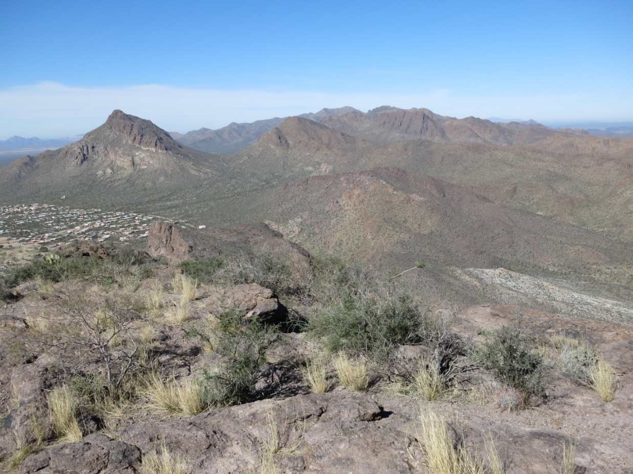
The views were magnificent, as good as those from Golden Gate about three hours earlier. The day was dry and blue, and the winds were calm. The day had warmed into the 70s. In other words: stunning. We stayed up here for 30 minutes, then started the climb down.
Going down was easy, but we had to pay attention at a couple spots along this upper ridge to stay on route, plus where the ridge ends and that crux move is encountered again. I went first and slowly worked down it, then back onto the slopes. Scott was right behind me, and we both moved down the slopes carefully. We took a break when we came back to the trail, then walked it out to his car.
Our round trip hike took us 3 hours covering 3 miles round trip and 1,150 feet of gain. We were pleased to get this one done, especially since we were going by our noses for the last half of the climb. Back at Scott's truck, we changed and got rolling, stopping for sandwiches before driving toward Phoenix. We were back in town before sunset, and both hikes had gone very well, much faster than I was expecting. Thanks again to Scott for driving and skills up on the mountains!
|

|