The Mountains of Arizona
www.surgent.net |
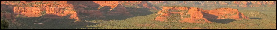
| Brins Butte |
• Brins Mesa, Red Rocks of Sedona • Coconino National Forest • Yavapai County |
|
Date: November 10, 2019
• Elevation: 5,502 feet
• Prominence: 402 feet
• Distance: 4.5 miles
• Time: 3 hours
• Gain: 940 feet
• Conditions: Beautiful!
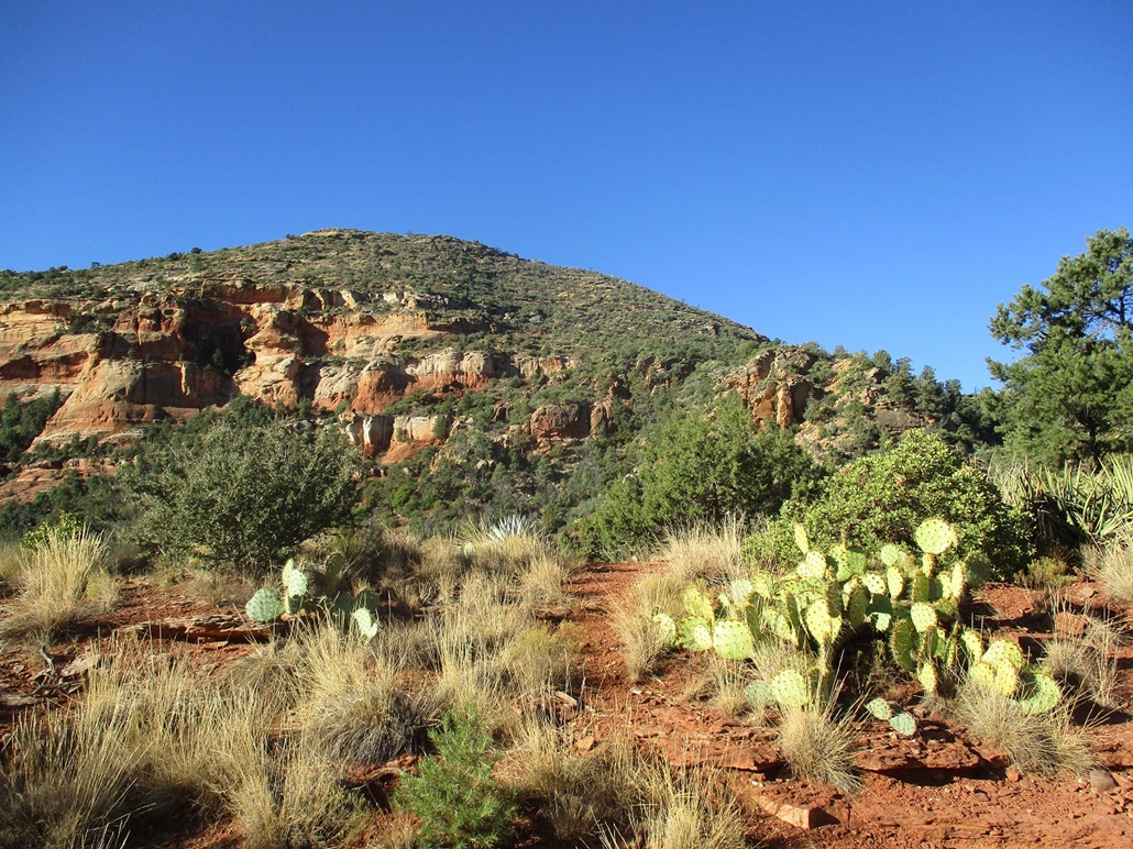
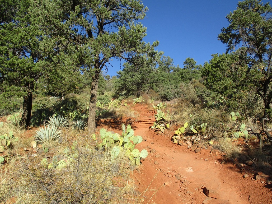
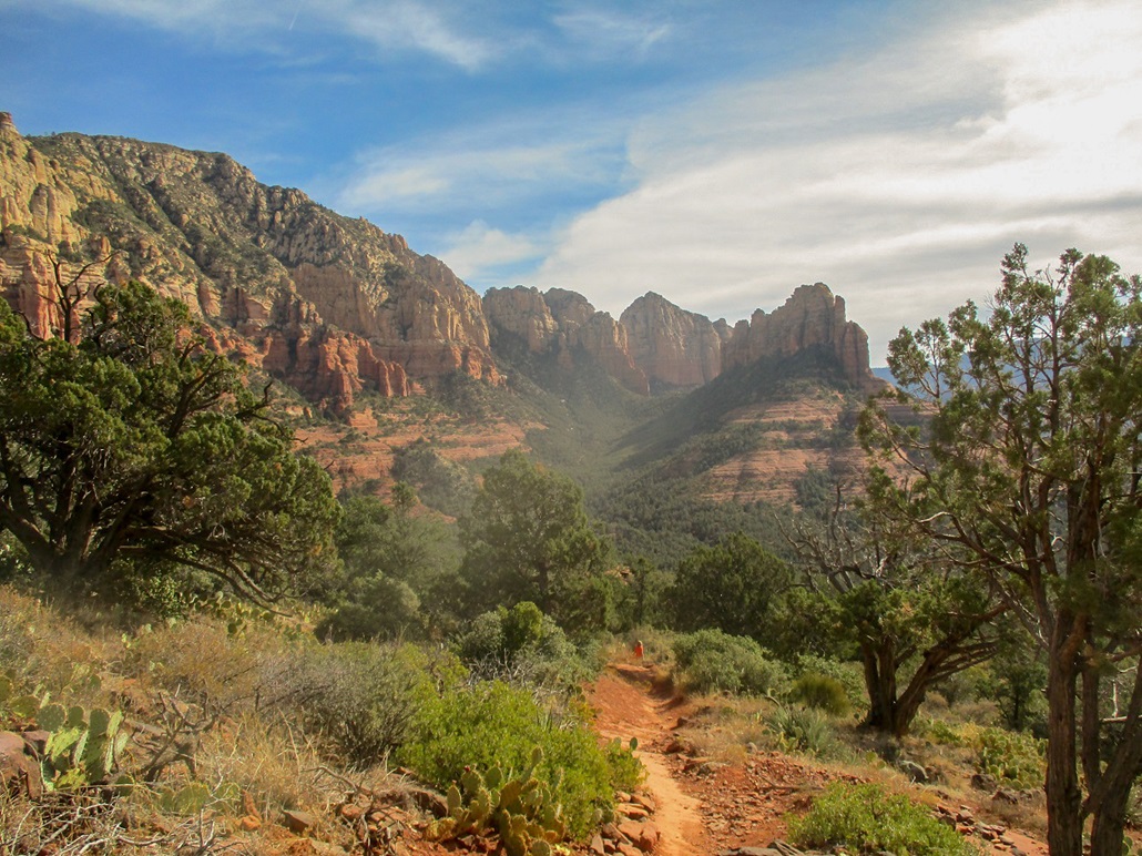
The Brins Mesa Trail is one of the most popular hiking routes in Sedona, with unbelievable scenery nearly every inch of the way. The trail itself can be done as an out-and-back or as part of a loop, and is a well-maintained path with good tread, decent width and virtually no annoying rubbly boulders to break an ankle on.
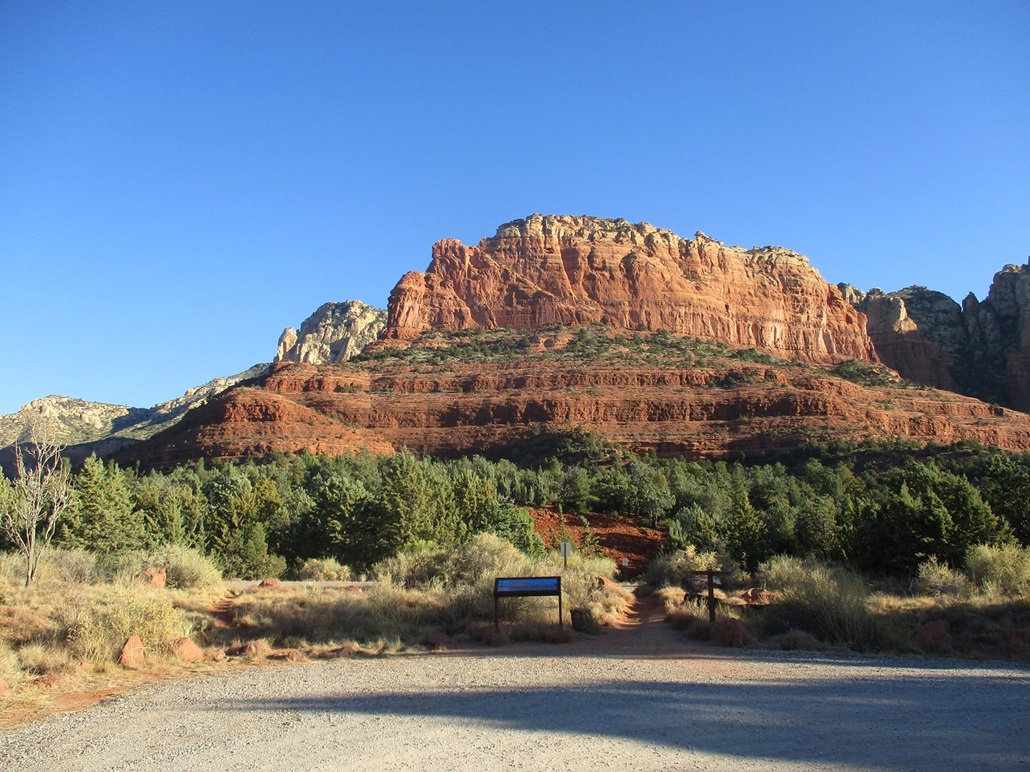
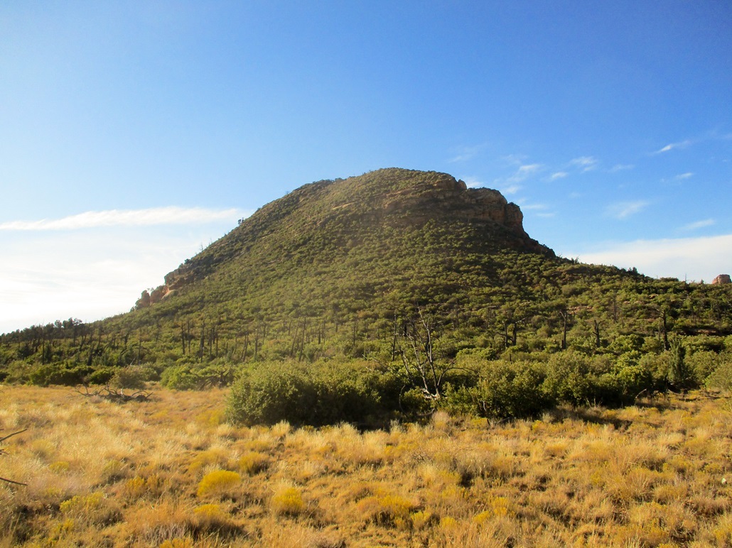
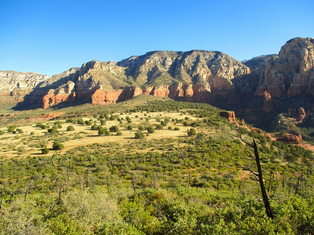
On the west tip of Brins Mesa is a small mountain, a butte formed by erosion and some uplifting. It has the famous cliffs and rock layers, plus brush and trees, that make these hills and peaks so attractive. This would be my objective for the morning. However, I was eager to hike the trail, too, having heard so many good things about it.
I started today in Flagstaff, having spent yesterday hiking three volcanic mounds up on the plateau. I had no plans to hike in Sedona, but a sequence of events late yesterday prompted me to cancel my hiking plans up there and come down for some more scenic digs. Frankly, I did not want to hike some forested hills in 20-degree weather when I could be hiking among red rocks and cliffs in 60-degree weather. I was already aware of Brins Mesa and Butte, but had no maps. I logged onto the web last night in my hotel room and studied the Brins Mesa Trail, committing much of it to memory.
I was up a little before dawn, the weather about 25 degrees. It was clear and cold, and not inviting to hike in. I got my stuff packed and left the hotel about 7 a.m., driving south on US-89A toward Sedona. Along the way, I descended the famous Oak Creek Grade, an 800-foot drop from the upper plateau into Oak Creek Canyon. I had not driven this grade in many years.
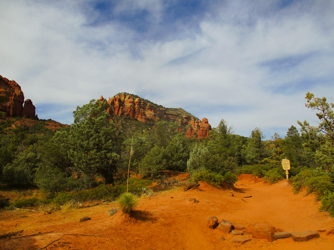
I was into Sedona early, traffic still light. I got a one-day parking pass at a Circle K, then doubled back to park at the Thompson Trailhead, off of Jordan Road. Even the half-mile segment of road on the forest property was lovely and scenic. I pulled into the big parking lot, just the fifth car there. I got my boots on and was moving a little after 8 a.m., the weather clear and blue, temperatures (for now) about 45 degrees.
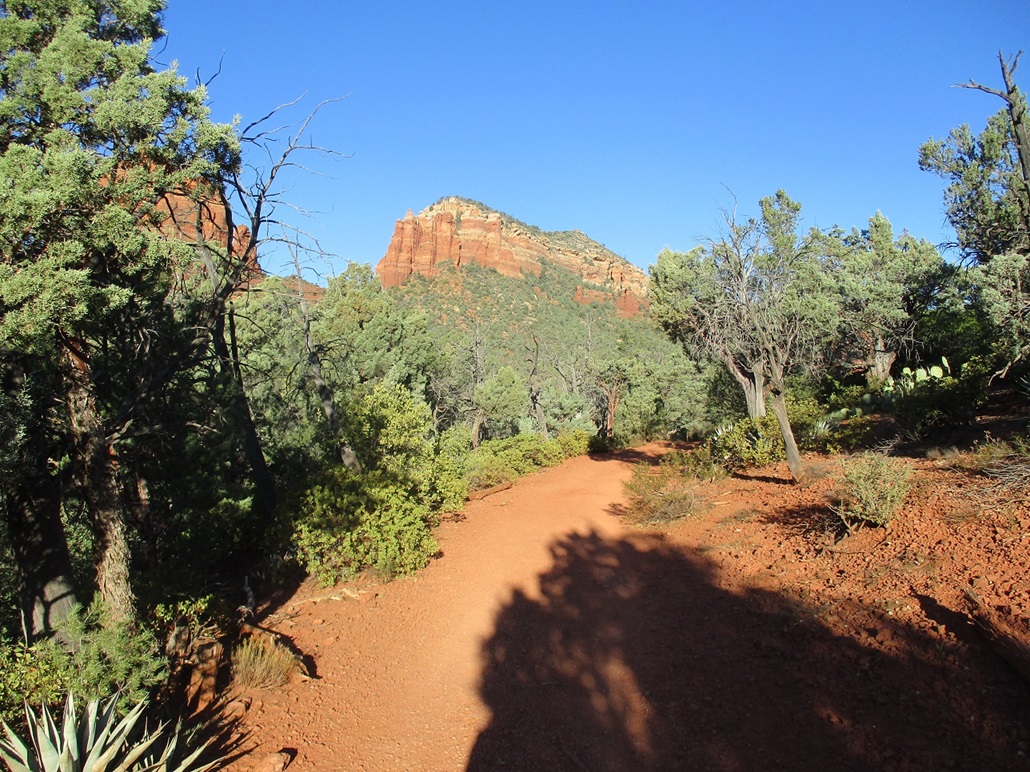
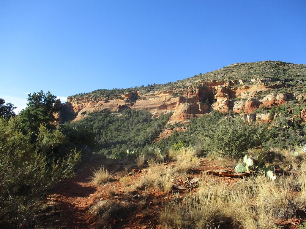
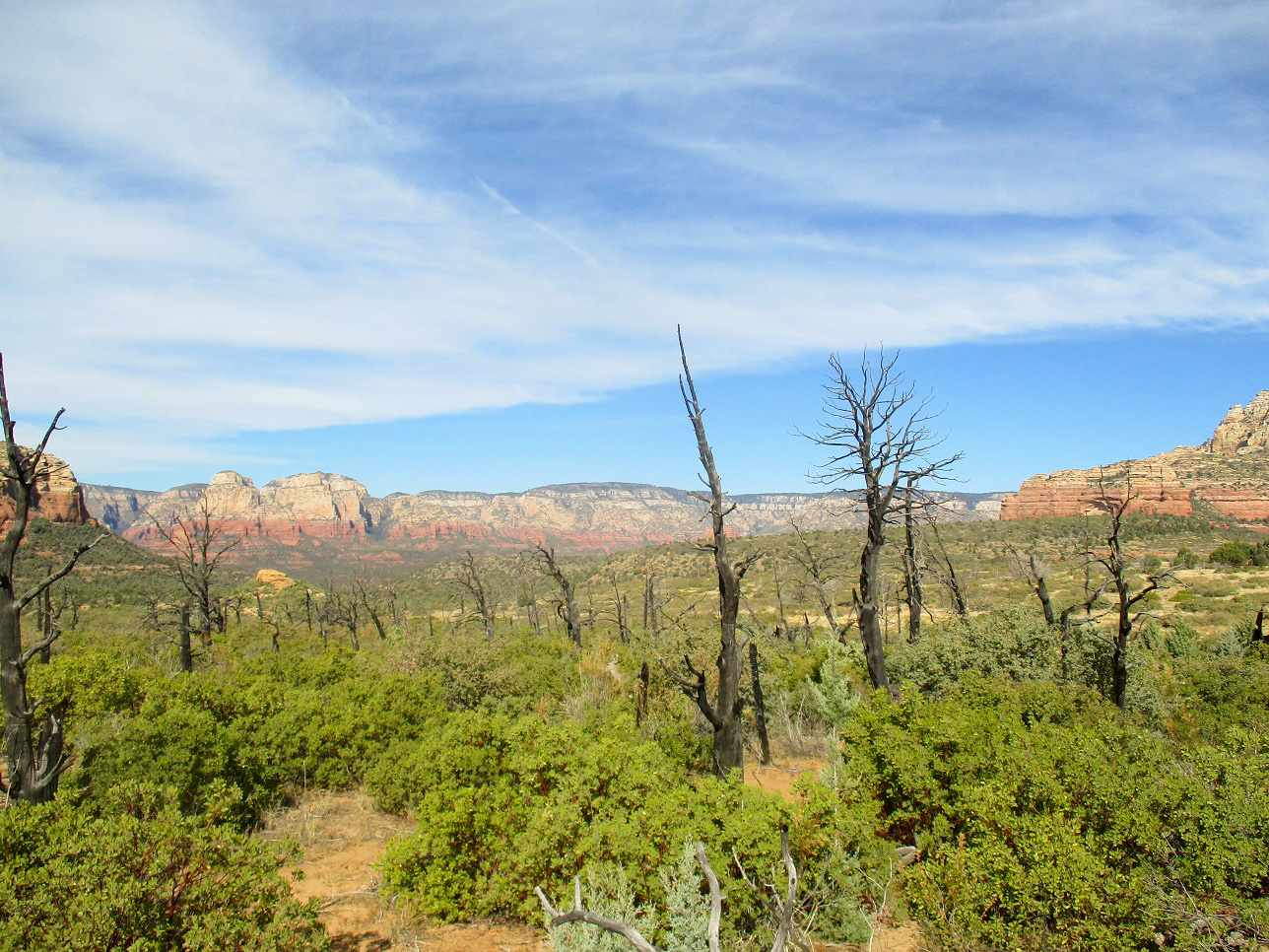
I found the Brins Trail (there are three trails that start from here). I hiked northbound up this fine trail for about 1.7 miles, going by what the park maps say. The trail stays low for the first half, generally dropping into and out of a number of drainages. Then it starts uphill in earnest, gaining about 600 feet to top out on the Brins Mesa.
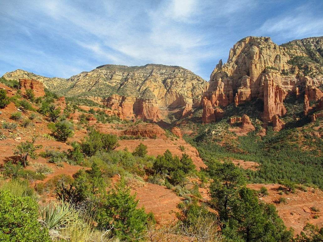
For virtually the whole hike, Brins Butte can be seen high above. From this vantage, it is essentially a wall of cliffs in various shades of red, pink and white. It looked quite high up there and maybe just a little intimidating. Would I be able to climb the thing?
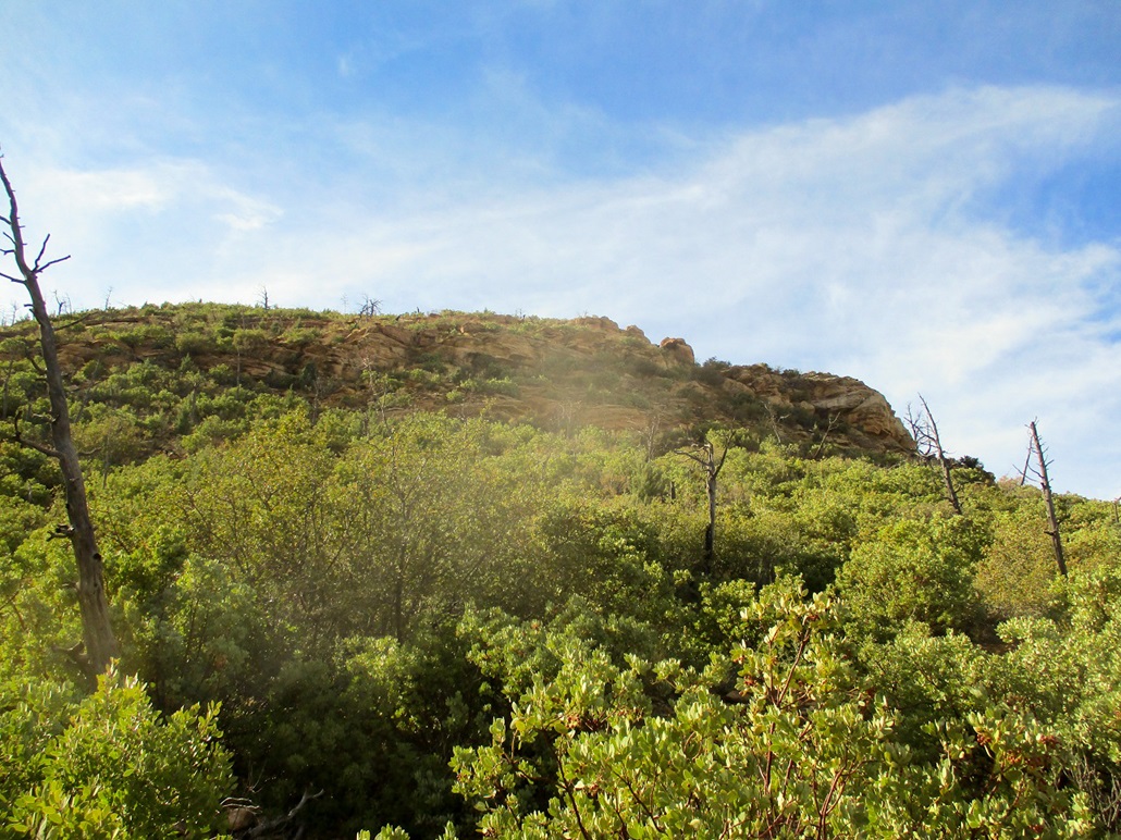
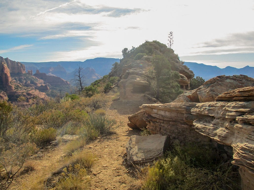
I was the only person atop the mesa for the moment. I studied the butte, which from this angle showed a steep slope of trees, brush and bands of rounded cliffs. I also walked a little farther, to its north side, thinking there may be a way up that way. I did not see anything obvious, so I retreated back to where I had first topped out on the mesa. I looked for a path and by gum, found one.
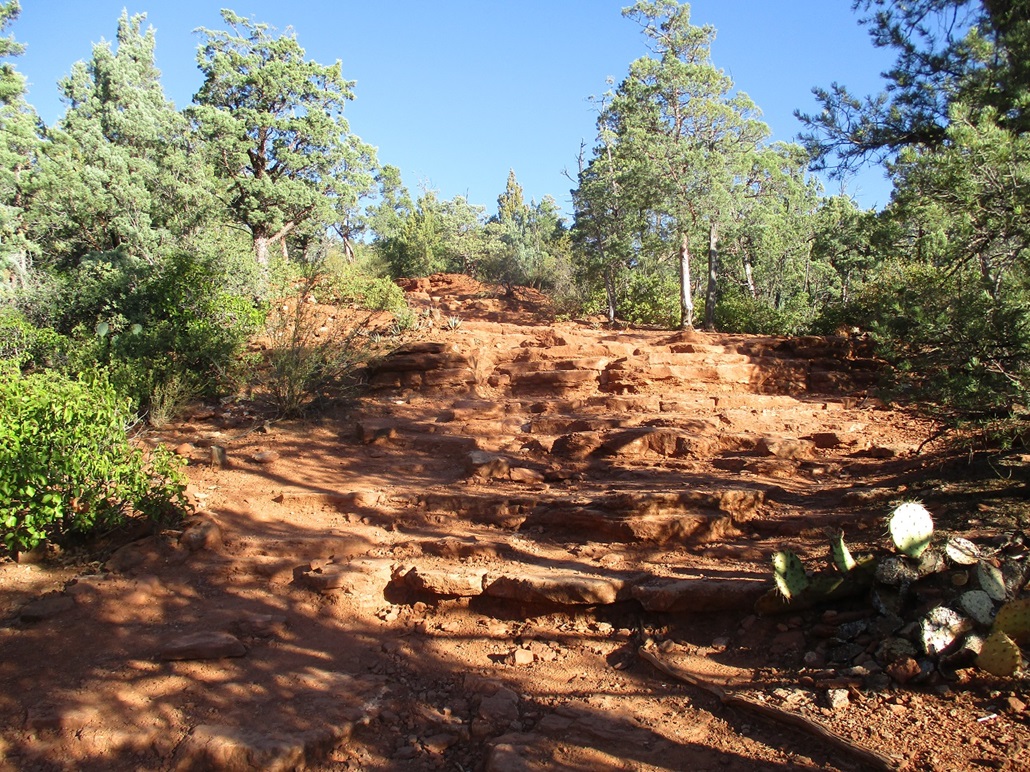
This path was well-defined and I wondered if perhaps there was a path all the way up. This path went for a few hundred feet, always looking in good shape. But as the terrain steepened, the path started to lose distinction and braid in and out with other paths. I tried to stick with what looked best but realized after a certain point, I'd need to figure this out for myself.
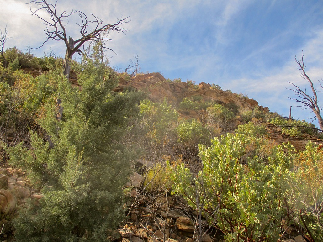
I quickly gained about 200 feet to put me near the base of the main band of rounded rock cliffs. I seemed to angle left whenever I had to make a choice, and at first, all promising openings went that way. I also needed to hoist onto the rocks and up layers of brush, broken rock and dirt. I was taking this in ten-foot segments, and often trying two or three things before advancing anywhere.
I was able to scamper up another hundred vertical feet. I was scrambling in places but it was never sustained. Most of the time, I'd need to wiggle up an eight-foot segment of rock, with awkward leans and foot placement, and always some plant to stick me wherever I preferred to place my hands. The climbing, as it were, was always protected. I was never in a precariously-exposed spot.
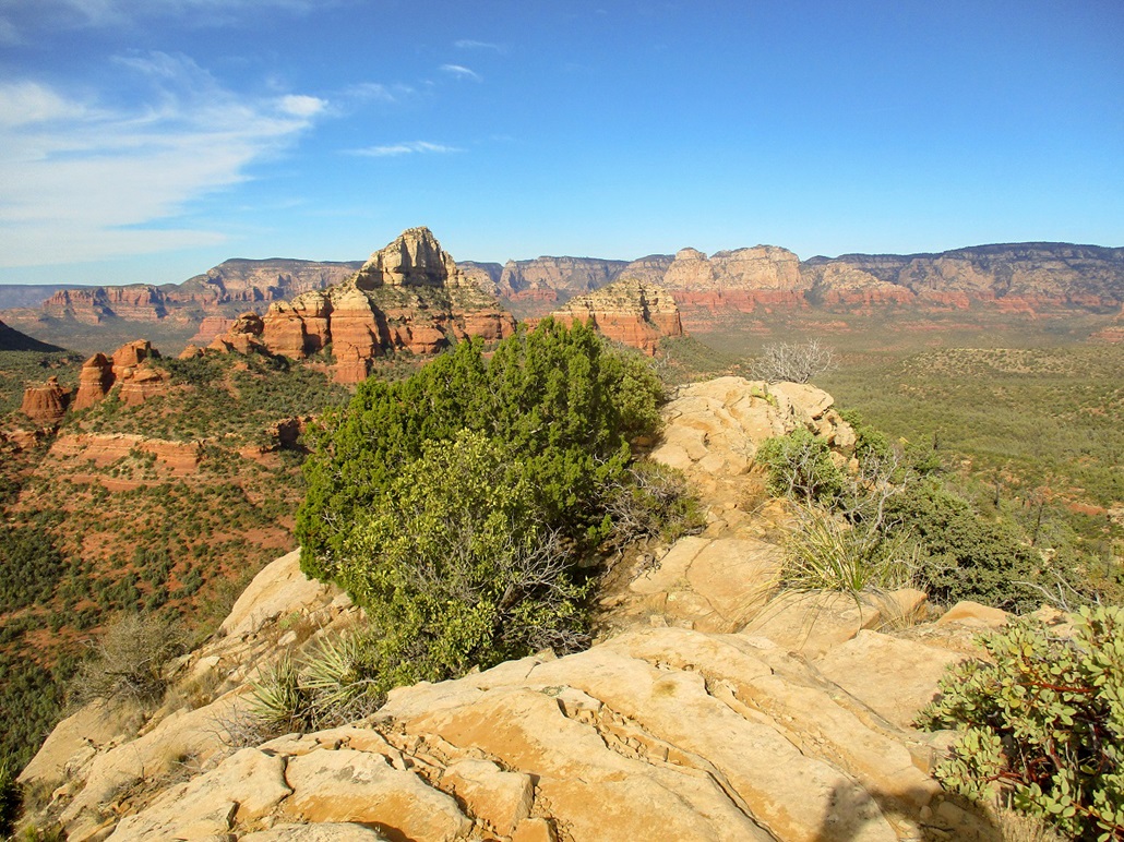
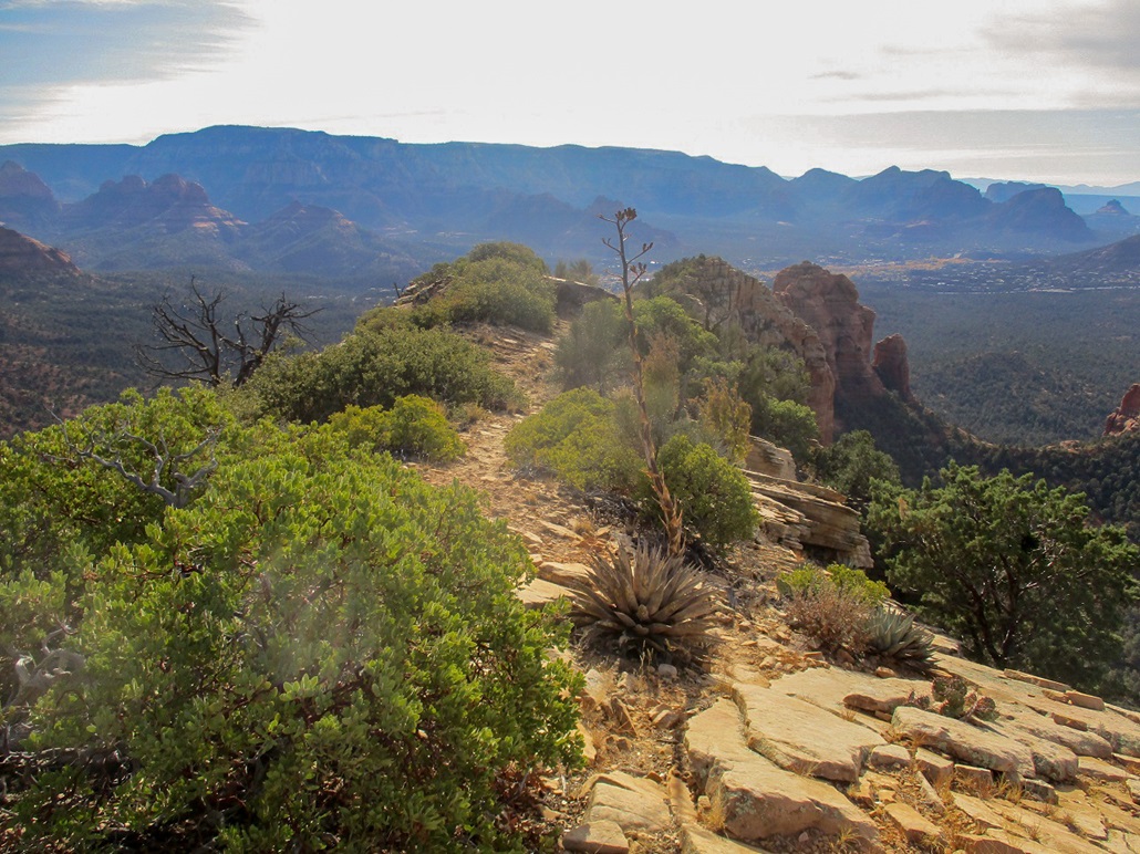
By now, the natural lanes all trended right, and the angle seemed to lie back ever so slightly, suggesting I was nearing the top. I followed some better paths and even a few cairns, all leading to the north tip of the short summit ridge. By now, I was above the brush and had some outstanding views looking north at the multitude of rock spires and mesas in that general direction.
I scampered up a couple rock bands, then walked toward the summit. There seemed to be a few ways up this last rock band. I passed an early attempt due to brush, and found a better option about 50 feet farther along. Here, I gained about ten feet up the only segment that could remotely be called Class 3, and that's being generous. Once on top, the summit was just a few feet away. I pulled up about 9:45 a.m., a little surprised, and pleased, that I had made it.
I took photographs and spent a few minutes tagging the top rocks, but I did not really rest at all. I wanted to start down the route while it was fresh in my memory. So I got moving after just 5 minutes atop this lovely butte.
Up high, there were paths, so keeping on route was easy. I scampered down the rock bands and then started angling right (southish) ... and wouldn't you know, confusing myself. Where had I come up? I was not sure. So I walked a few paces along an exposed cliff and found a chute that looked tolerable. I gutted down about ten feet of brush and rocks and onto a lower ledge of brush and rocks, but soon found a cairn I had built, so I was happy to be back on track.
In all seriousness, getting lost up here is impossible. That wasn't my concern. I just did not want to choose a line that would involve nasty scrambling or bushwhacking. I wanted to keep as close to my route as possible because I knew it worked and was not terribly brushy. Every now and then I'd see a cairn I built or something familiar, so I knew I was always within ten or twenty feet of my ascent route.
As I descended, things got easier and after awhile I was just barging through open lanes, not too concerned about staying close to my ascent tracks. Lots of people were on the trail, whereas I had been the only one up on the Butte this morning. I stopped back at the trail for a brief water break.
The hike down went quickly. By now, there were lots of people on the trail. The day had warmed nicely and who could blame them. It was never too crowded and I kept a good pace. I was back to my car a little after 11 a.m., a three-hour journey. I changed into driving clothes and was amused to see the whole lot full and cars lining up, waiting for someone to leave so a spot would open. Lesson number one: get here early!
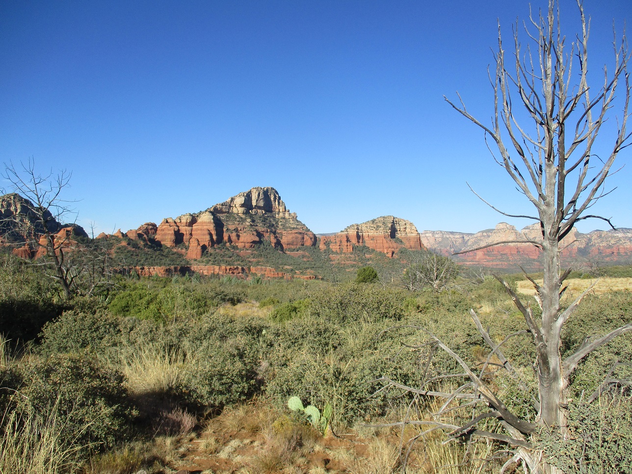
From here, I drove back into Sedona and followed state route AZ-169 south to the Interstate. Traffic was extremely heavy by now. That is the unfortunate reality of Sedona: on any given nice day, it is jam-packed with cars and tourists. I'm happy and appreciate so many people come here, but the sheer numbers and congestion is bothersome. In my 27 years in Arizona, I've been to Sedona about five times now, mainly because I don't like messing with the traffic.
The drive south went well. Instead of signals, all major intersections are traffic circles, perhaps a dozen in all. The person ahead of me was unsure how traffic circles worked and stopped at each one, before proceeding. They would advance, then stop, then advance. It was clear this was new territory for them. I pssed them when a passing lane opened up, and once back on the interstate, drove home in one push, arriving about 2 p.m..
I was pretty jazzed about climbing Brins Butte. I had not planned for it and ended up winging it, and it was challenging enough to make me feel like I earned the summit. And the scenery. I was completely satisfied with my decision to bail on the mounds up by Flagstaff and hike some gorgeous canyon country for a morning.
|


|