The Mountains of Arizona
www.surgent.net |
|
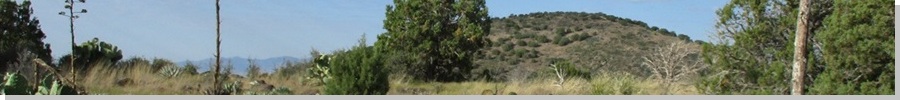
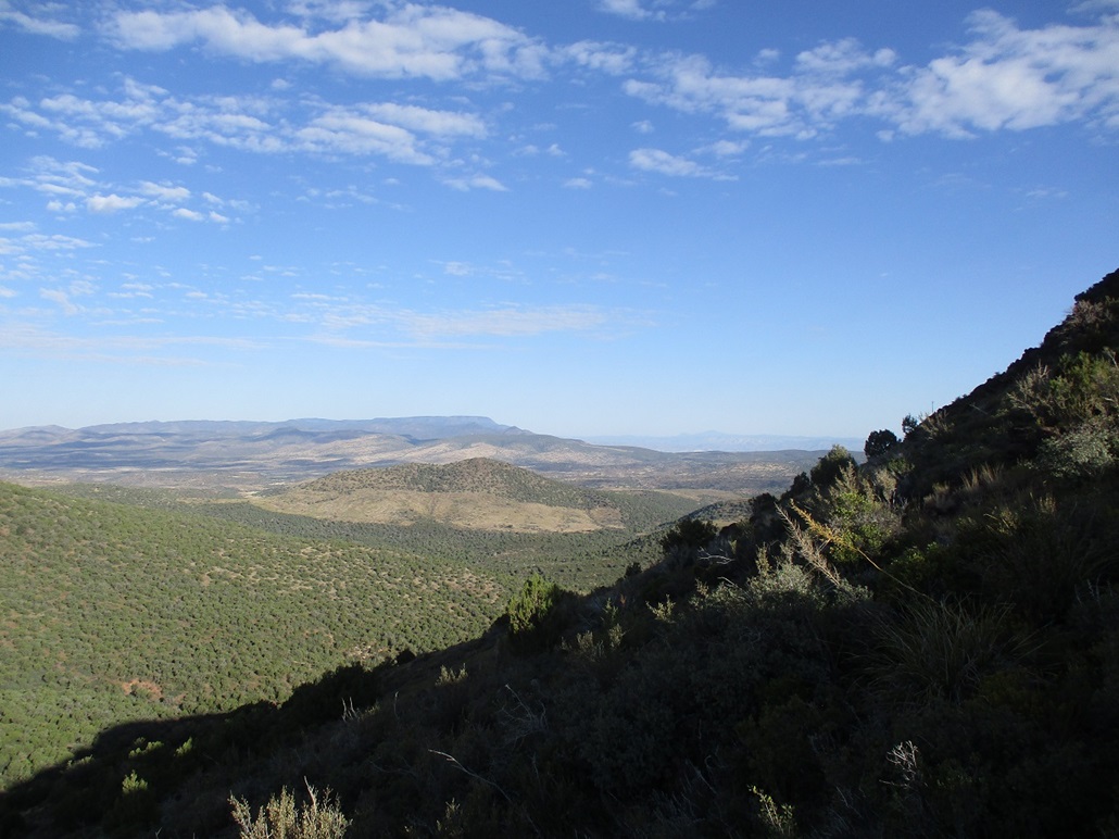
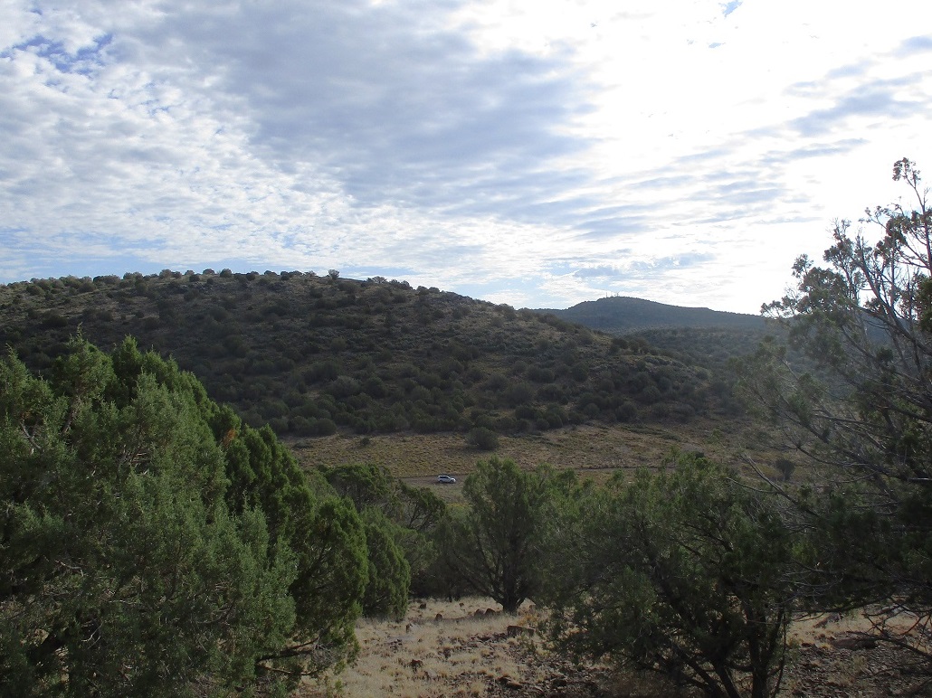
Peak 5889 • Bald Hill • Joe Best Hill (Peak 5495) These three hills lie in the Prescott National Forest, east of Interstate-17, along the main road that leads to Porcupine Mountain. I was attracted to this batch because they lie close to one another and did not look to be difficult, something I could knock out in a few hours and be back in town by mid-afternoon. I was up early, and on the road at 4:40 a.m., the temperature annoyingly warm, 85 degrees. It even warmed into the low 90s as I drove through Scotsdale. The heat island effect, I guess. There was minimal traffic. I was on top the plateau and at the AZ-169 exit a little after 6 a.m., still dark but the sun just starting to light the eastern sky. Fortunately, the temperatue had dropped into the high 50s. Pavement ends immediately on the east side of the interstate, now on Forest Road 732, signed for Porcupine Mountain. This would be my first time on these roads since I hiked that peak, known then as Squaw Mountain, in 2011. There was just enough light to see things, but I drove very slowly and had the brights on as I drove these dirt roads. I was able to drive about 7 miles, following FR-732 through one small private inholding of a few homes. The road was decent, a little choppy in places, but nothing too bad. I went slower than necessary, mainly to let the sun come up more. I drove until I was at a pass, placing me east of the first peak, Peak 5889. I'd be hiking this peak and Bald Hill as one hike, since I'd have to cross over Peak 5889 to get to Bald Hill (and back).
Date: October 7, 2023
• Elevation: 5,889 feet, 6,089 feet (Bald Hill)
• Prominence: 310 feet, 649 feet (Bald Hill)
• Distance: 3 miles
• Time: 2 hours and 5 minutes
• Gain: 1,280 feet (gross)
• Conditions: cool and clear, heavy breeze at times
Arizona
•
Main
•
PB (5889)
•
LoJ (5889)
•
PB (Bald)
•
LoJ (Bald)
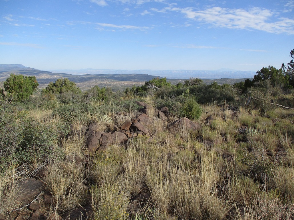
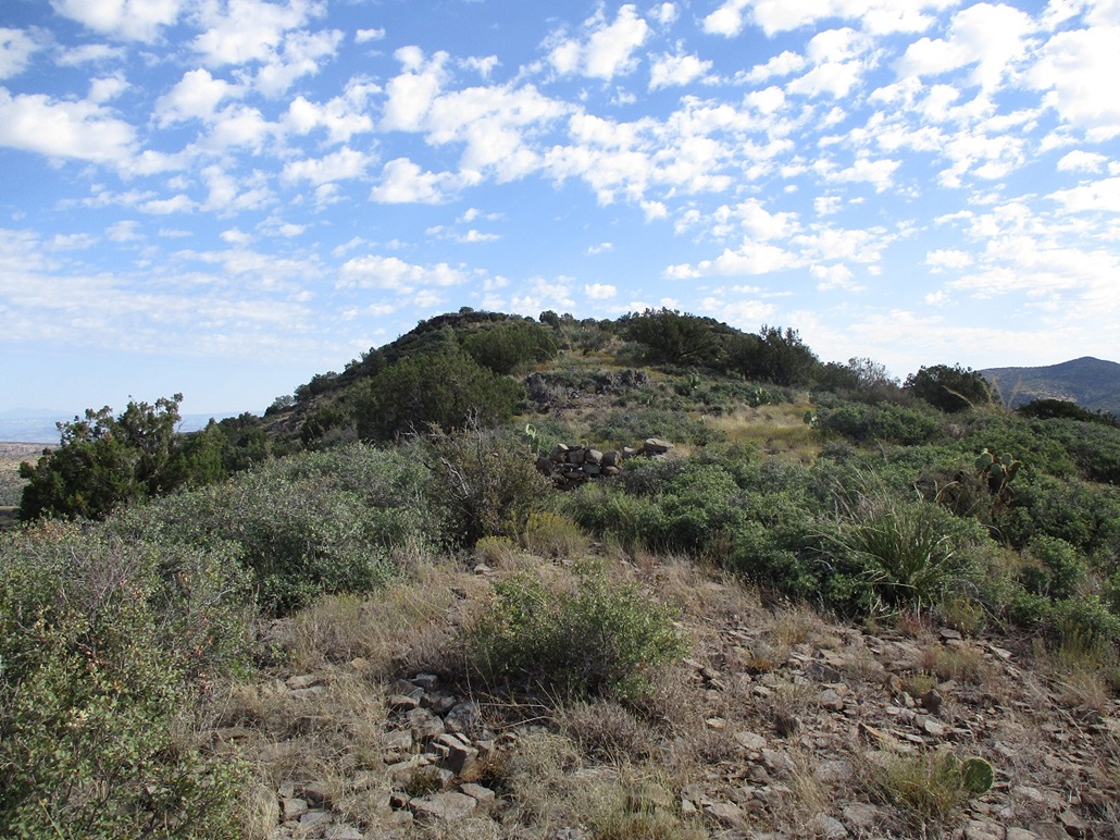
I parked on a small open spot beside the road. The sun was up now but still low, temperature about 55°, and very breezy. It was clear above me but there were clouds to the east. Peak 5889 was right there in front of me, just a long forested slope uphill to the top, nothing fancy. I was walking at 6:40.
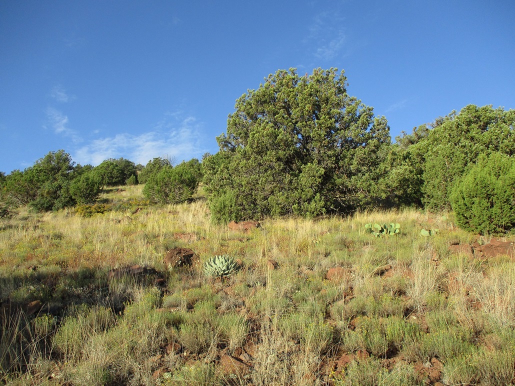
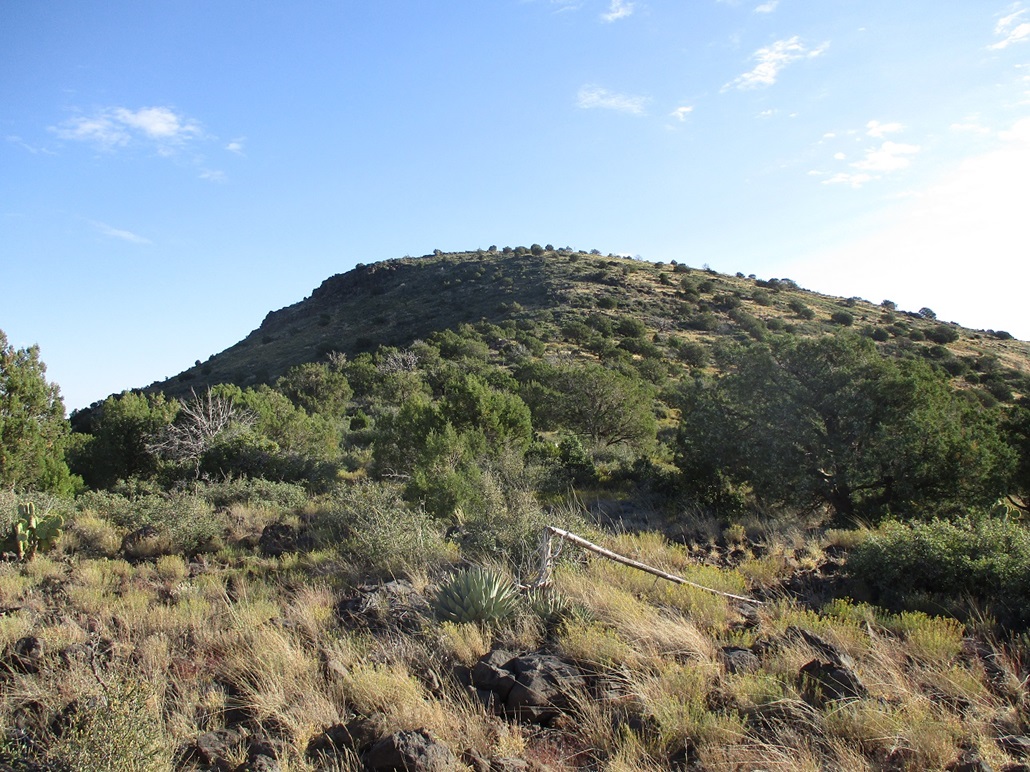
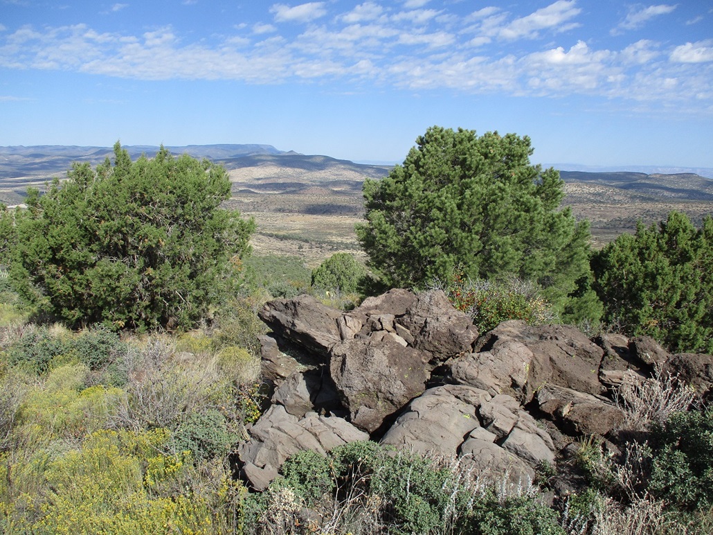
I got into the trees and on the slope and kept a slow and steady pace. The trees here are mainly piñon and juniper, nothing very tall. There was a lot of holly bush that forced me to find ways around. Other plants were agave and prickly-pear cactus, and abundant grass. The rocks were the usual: they moved on just about every step. But I made good time. I was on top Peak 5889 in about twenty minutes. I walked to one apparent highpoint, with a rock outcrop and cairn. I din't stop. I continued forward and started down the slope toward the saddle on the way toward Bald Hill, which was now visible.
The downhill hike went well. It was brushier here and there were bands of rock to get through, a couple spots where I had to use my hands to ease through the openings. This downhill took just 15 minutes.
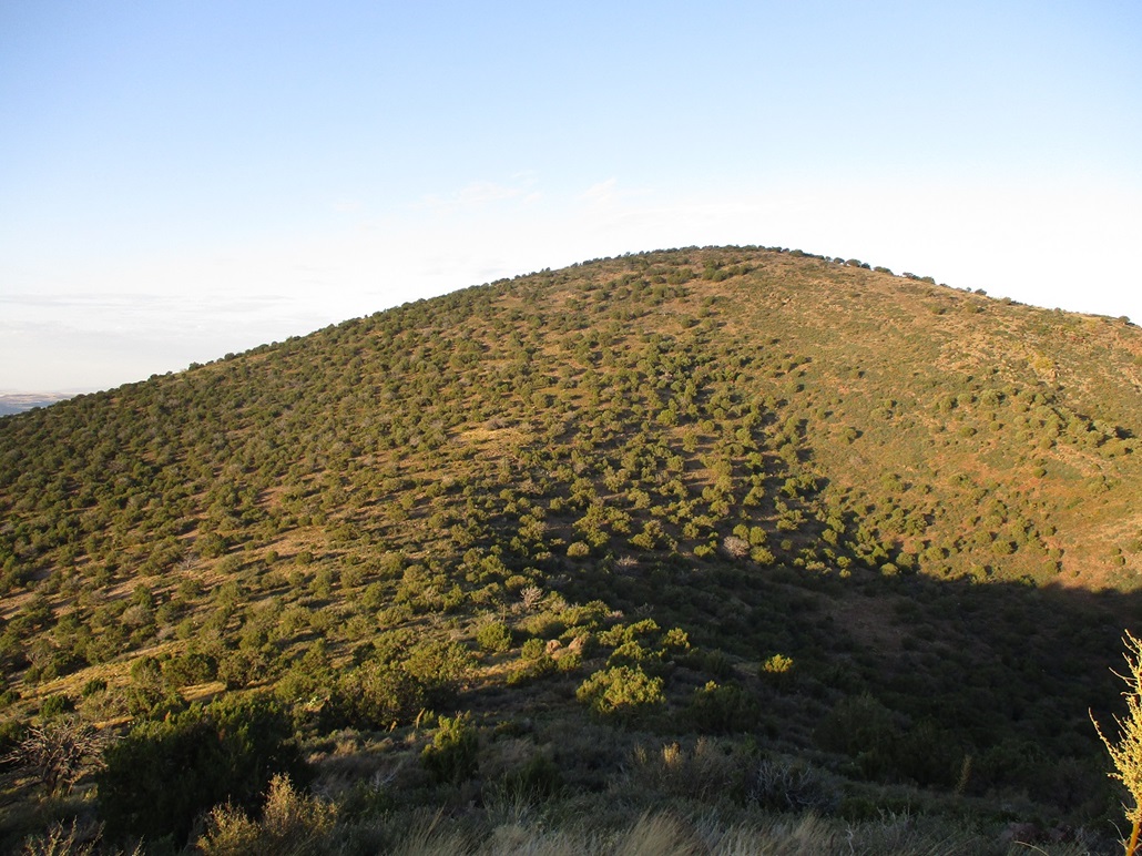
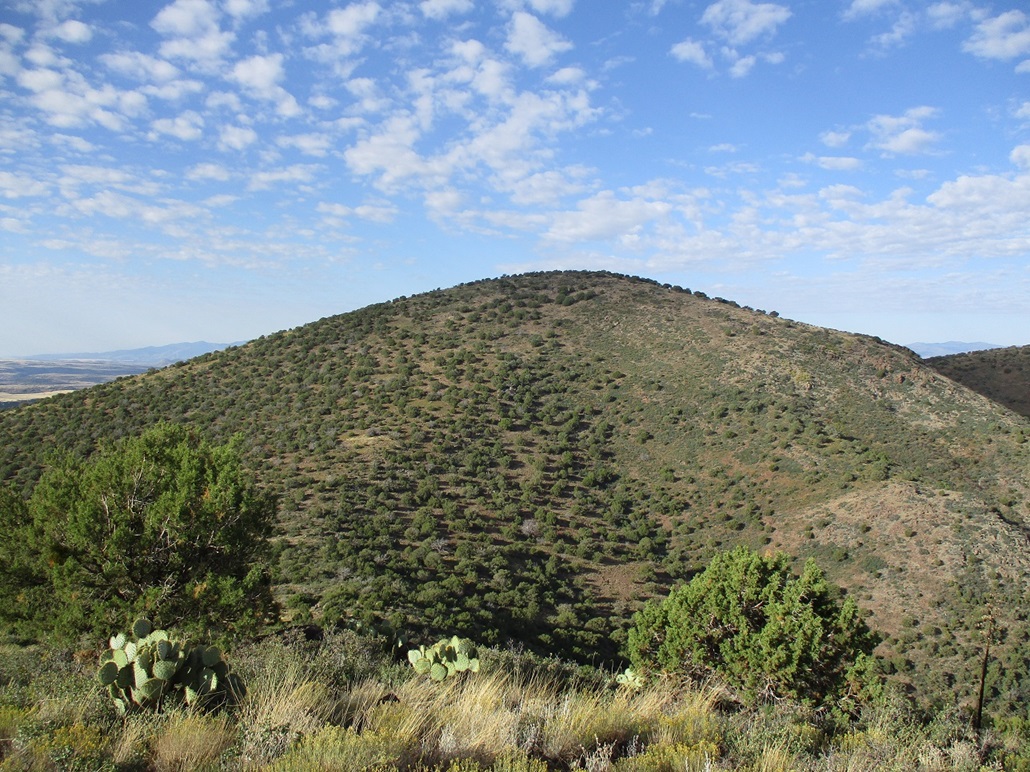
I started up the slope of Bald Hill. This slope lay back very gently and I was able to keep a consistent pace. Bald Hill, according to the map, is "exactly" 200 feet higher than Peak 5889. I gauged my progress by looking back at Peak 5889, watching it get lower. I was on top of Bald Hill, about a half-hour from the saddle below.
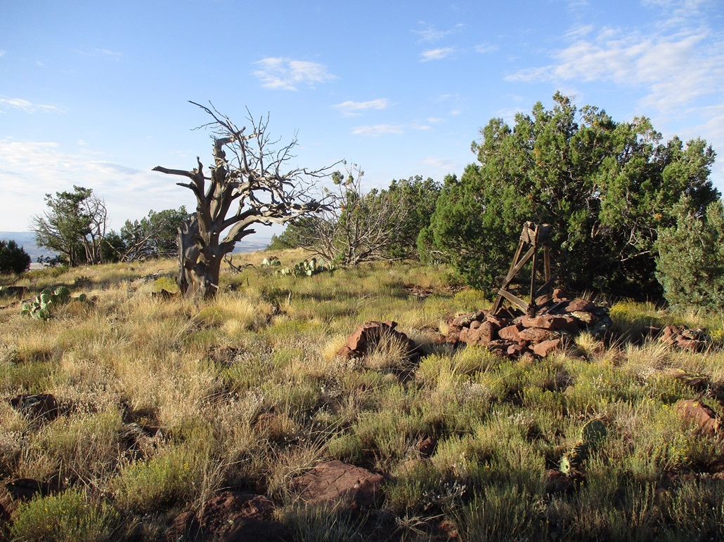
The top is broad and the presumed highest point is a big rock pile with a wooden derrick-structure leaning on it. I could not locate a register. I walked the whole summit area to be sure there weren't other rock outcrops to tag. I felt that rock outcrop with the wooden structure is the highpoint. I sat on a nearby rock and had a drink and a five-minute break.
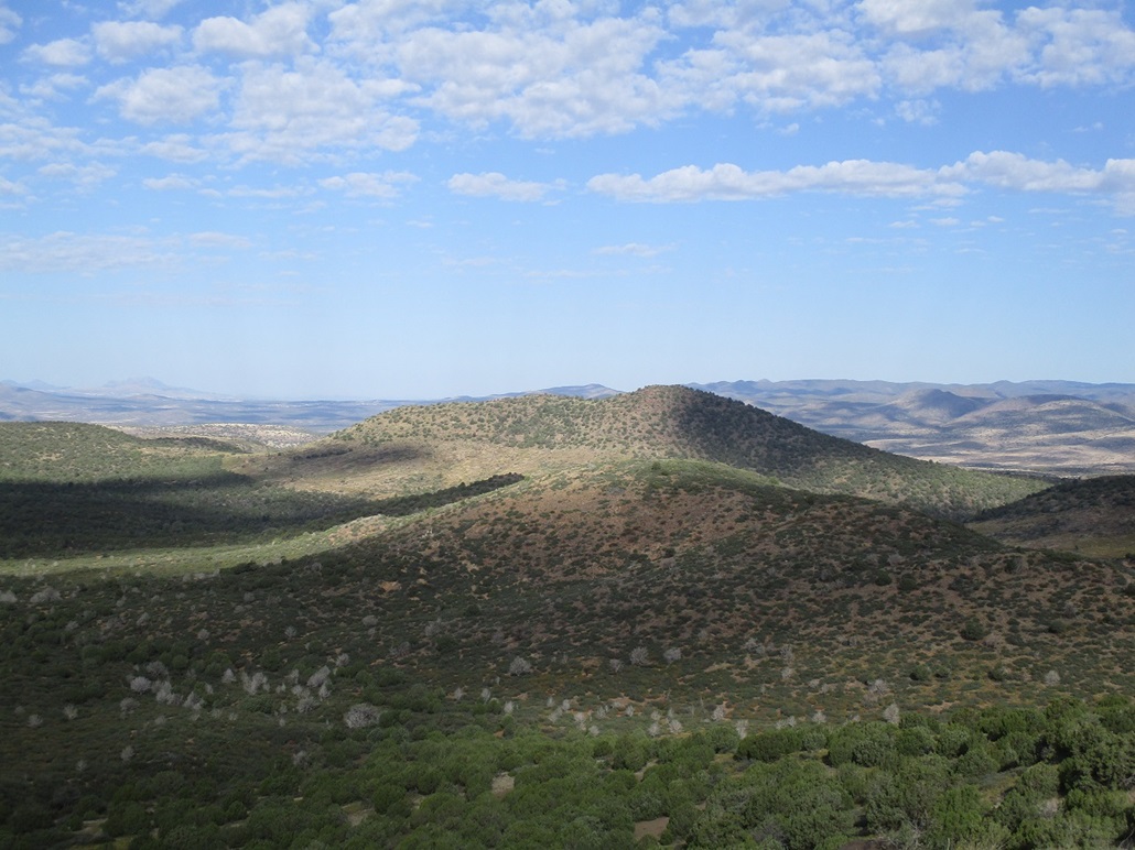
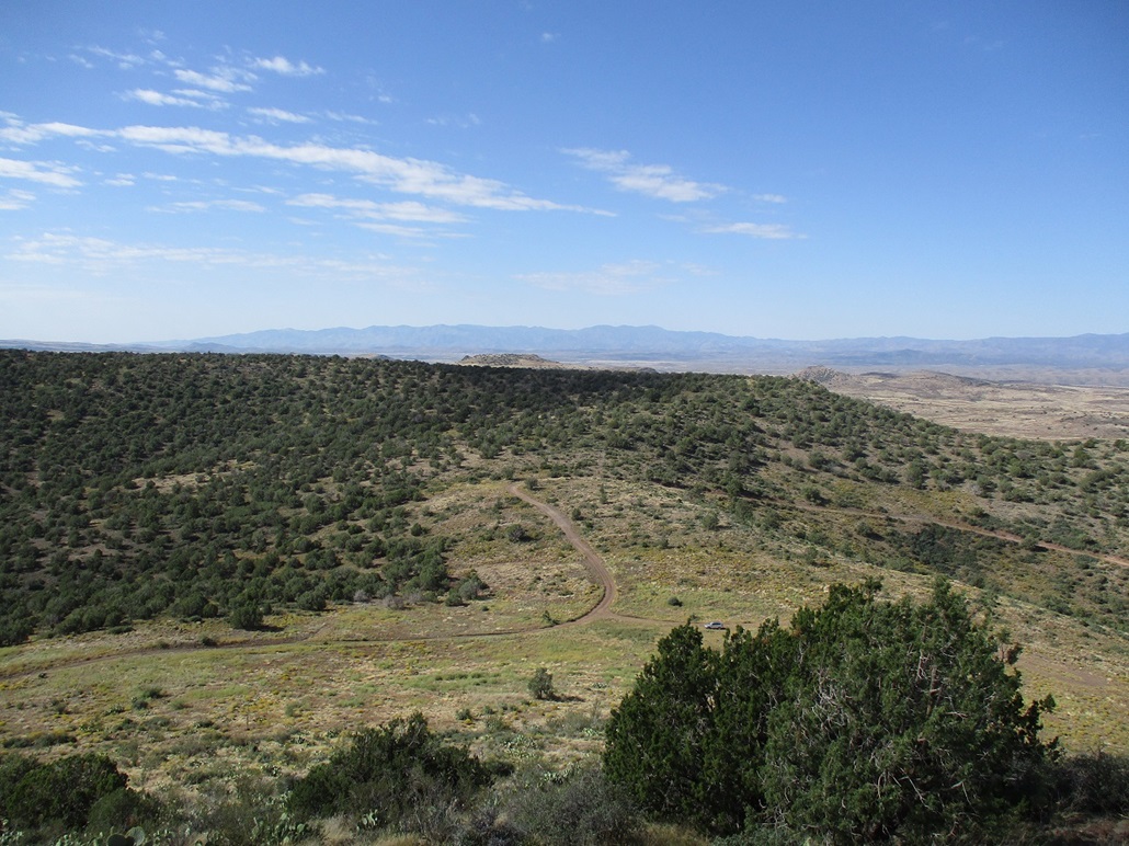
For the outbound hike, I followed the same general route, then once back on top of Peak 5889, took more time to walk its summit area to be sure I had not missed anything. I also could not locate a register here either. I walked back down slope to my car, my total time gone being two hours and five minutes. I was happy to be successful on this hike and bag two peaks for the price of one. They weren't memorable peaks, but Bald Hill is the highest-prominent peak in this batch of hills not named Porcupine Mountain. It is visible from the highway, although it doesn't stand out other than being higher than its surrounding hills.
Elevation: 5,495 feet
• Prominence: 395 feet
• Distance: 1 mile
• Time: 50 minutes
• Gain: 395 feet
• Conditions: Sunnier, warmer, breezier
PB
•
LoJ
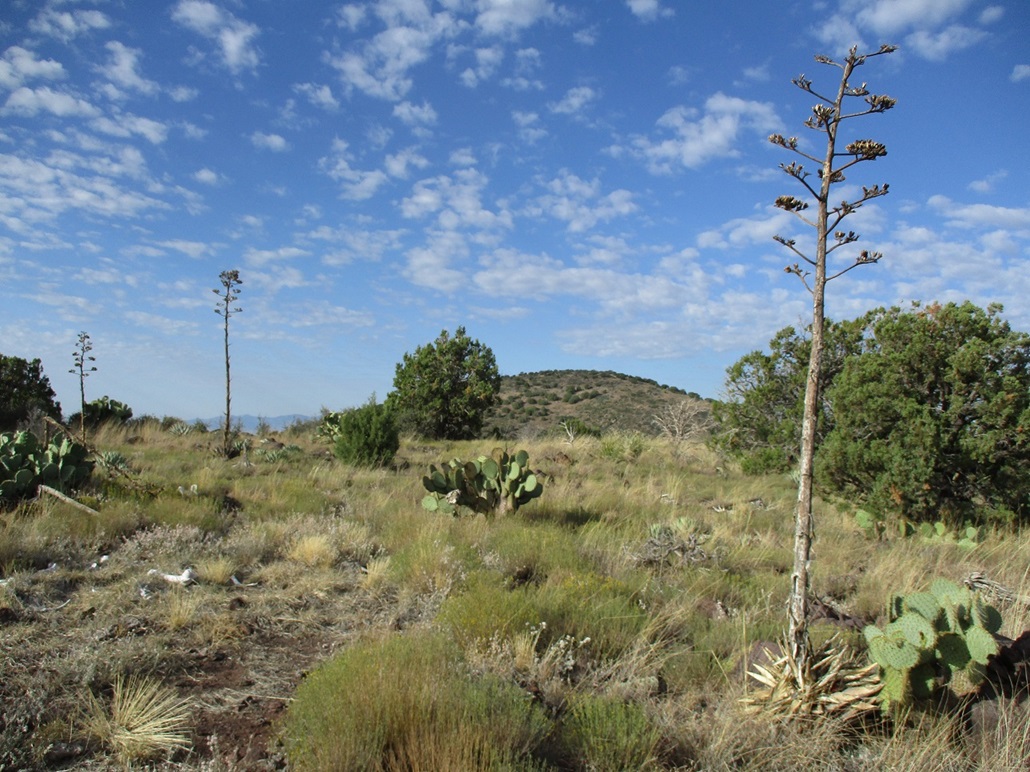
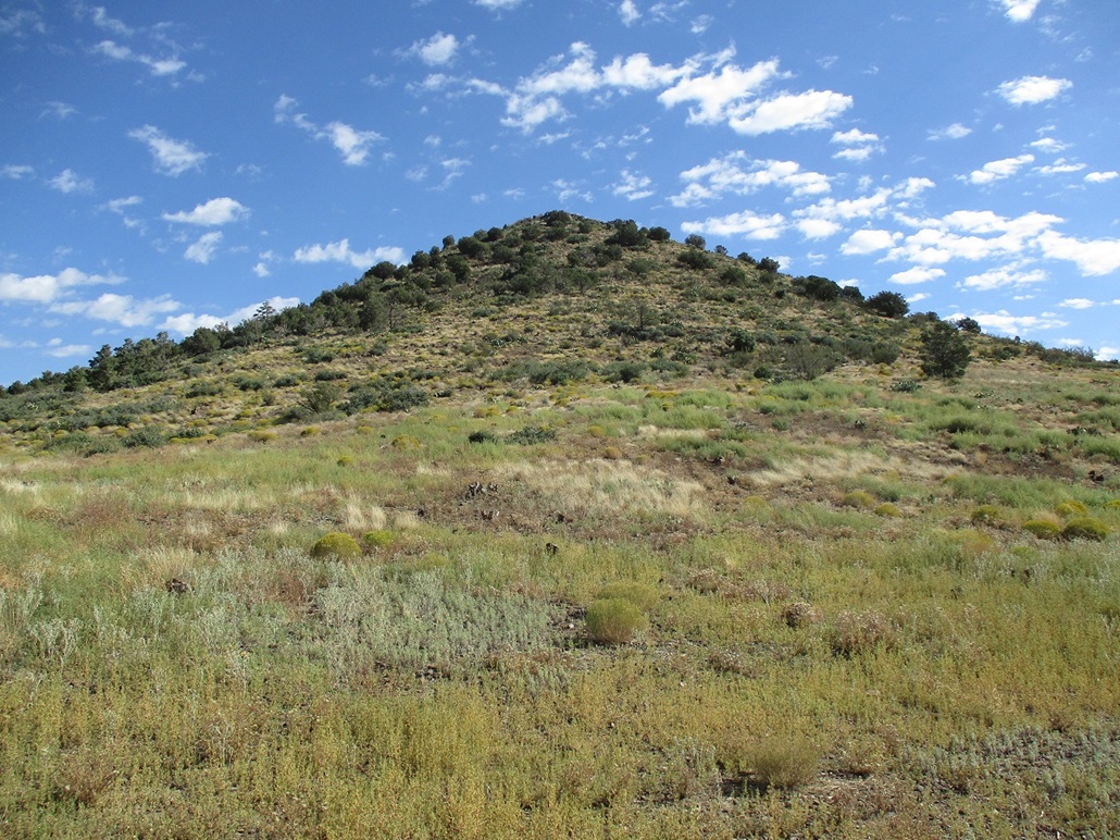
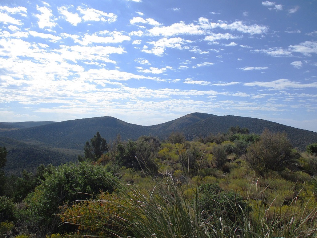
I drove back the way I came, easing down FR-732, taking a moment to stop and snap a photo of my next peak, Peak 5495, or as I dubbed it, Joe Best Hill, for a nearby spring.
I followed Reimer Road, FR-68D, for a couple miles, hoping to get to a point southwest of the hill. This road was a little more beat-up, but I was able to get there without any problems. The top of the hill was a half mile away, about 400 feet higher. It looked like an easy hike.
The initial segment is a steep gain up a slope. It was loose and sloppy, but not difficult. Once above this steep portion, the summit was in view about a quarter-mile away. The walk went quickly, there being a meager path to follow in places. I was on top the hill quickly, a thirty-minute hike. A cairn is tucked into a rock outcrop and I even found a register. The last person here was a couple years ago, but names went back almost 20 years. There were the usual signer-inners, and a few names I did not recognize. I spent a few minutes to rest.
I hiked out the same way and was back to my car a total of 50 minutes after starting. This was a good peak to tag to make it a three-peak morning. My total mileage for the morning was just 4 miles, but with over 1,700 feet of elevation gain. I felt beat but good.
I drove the roads back to the interstate, then exited at Arcosanti Road to get gas and drinks at the Love's, gas being about a dollar-fifty less than in Phoenix. It was warm too, pushing 90 even up this high.
The drive into Phoenix went well, but the northbound lanes of Interstate-17 were jam packed, no one was moving, even the frontage roads were packed. There is ongoing construction as they widen the interstate, but this seemed out of the ordinary. I didn't see any accidents. It sucks to be them, I thought. But in fairness, I've been caught in that kind of jam on I-17 before.
I was home by 1, a taco special in my hands. Today's peaks had gone well. Back in Phoenix, it was hot, about 102° and very windy, like the Santa Anas were here.
|


|