
The Mountains of Arizona
• www.surgent.net
|
| Baker Mountain |
• Superstition Foothills • Bureau of Land Management • Pinal County |
|
Date: September 8, 2026
• Elevation: 2,017 feet ✳
• Prominence: 320 feet
• Distance: 1.4 miles
• Time: 50 sweaty minutes
• Gain: 450 feet
• Conditions: Very warm, cloud cover, sultry
Arizona
•
Main
•
PB
•
LoJ
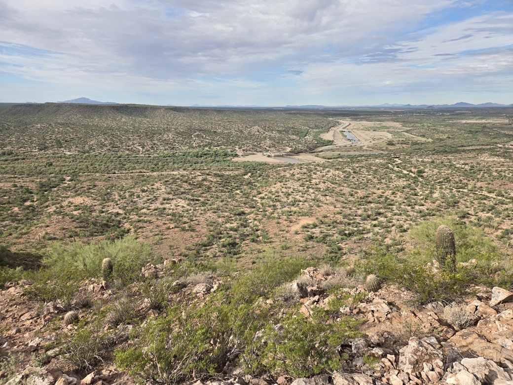
This little peak is just a rocky ridge located about ten miles east of Florence, north of the Gila River. On the maps, it has no name, but an old sign on the summit calls it Baker Mountain. The historic Ashurst-Hayden Diversion Dam is located nearby the peak.
I chose this peak for this morning's adventure because it looked short, uncomplicated and something to do while still hot outside. There didn't seem to be anything to recommend it other than it was convenient. However, after completing the hike, I came away impressed. It is a prettier peak than one would assume if just looking at the map.
Three nights ago, a desert centipede got into my house. I spent about ten minutes chasing it with my broom and dustbin. The darn thing would scurry along the floorboards behind the couch and other furniture.
I was yanking out these furniture items, all the while bent over in a crouch. I caught it into the dustbin and tossed it outside. I went back in to move stuff back into place and my back went out. I could hear a couple pops amd it seized. I couldn't stand straight and could barely draw a deep breath.
The crick was in the lower lumbar part. It's gone out on me before. I immediately started stretches, traction and things like that. I was up until 2:30 a.m. walking as best I could, stretching, anything I could think of. I slept a little bit, then spent most of the weekend just walking around, trying to keep moving.
This seemed to work. It slowly started to feel better and I had more range of motion. By Monday, it was about 80% better. My concern was how it would feel while sitting in a car while I drove 200 miles to Tempe. I purchased a waist belt that helped. On Tuesday morning (today), I left Bisbee at 4 a.m.. An hour later, in Benson, I got out to get gas. It hurt getting up, but a couple minutes of walking around helped.
Another hour, I exited Interstate-10 at Tangerine Road north of Tucson. I stopped in at a gas station, parked and got out and walked around. I did some stretches, holding on to my car's roof rack and "hanging" to create traction. And then, pop pop pop. My back self-corrected about 99% of itself! It felt a lot better. It was still sore because the muscles were still clenched. But my spirits were better.
So I got busy driving, following Tangerine to Oracle (AZ-77), then north to AZ-79 and that into Florence. I stopped for drinks and I was still sore, but felt so much better than even a couple hours ago.
I had picked this peak for today because it seemed like I could hike it in the warm weather. But I was unsure if I would be able to do it due to my back. Well, now I went for it. North of town, near the Hunt Highway intersection, I went right onto Price Road, which parallels the Gila River.
The first four miles are paved, bypassing one ranch/farm complex. Where it meets a railroad, it turns to graded dirt. The next four miles were good wide dirt road, passing more isolated homesteads and farms. Up ahead, the big massif of North Butte rose. In front was the littler Baker Mountain. It seemed so tiny compared to the bigger peak.
At just beyond a couple houses, the road splits. I went right. The road quality lessens. It is bumpier and sandier. A road grader was here at the moment grading it. I squeezed by him and went in another mile, parking off the road south of the peak. It was a little after 8 a.m..
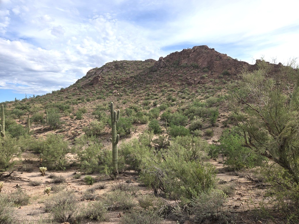
The day was cloudy but very warm, in the high 80s already. I got out and took a look at the peak. It was rocky with some cliffs. I decided to go for it. If things got too bad, I could turn around. The summit was just over a half mile from where I stood.
I got "dressed" — shorts, t-shirt, shoes and my pack, with nothing but drinks. I put on my snake gaiters too. I was walking at 8:15 a.m., the outisde temperature 88°, said my car. The clouds blocked the sun, so that helped temper the heat. The ambient warmth was tolerable as long as I moved slow.
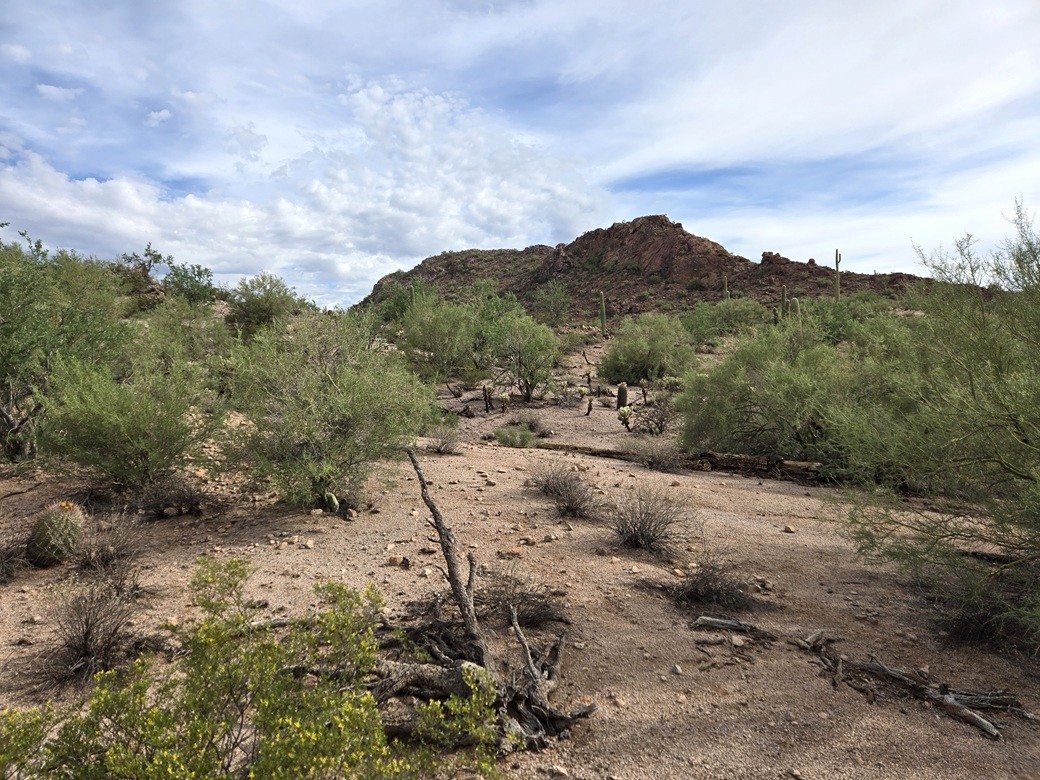
I stepped over one fence, then up and down through some arroyos and ridges. In moments I was atop a ridge where I could see the entire mountain. Closer, I could see a promising route up its middle.
The walking was easy as the ground was mostly open, free of grass. I kept an eye open for snakes. I aimed for the lowpoint high on the summit ridge. The slopes steepend incrementally.
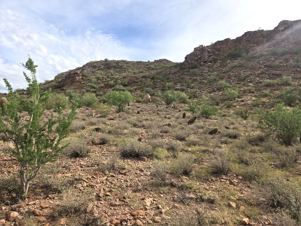
Higher up, I came to another fenceline, which I was also able to step over. The next hunded vertical feet was the crux, just a steep slope of rock, some of it loose. I moved slowly and tested each step, keeping to the bigger embedded rocks whenever possible.
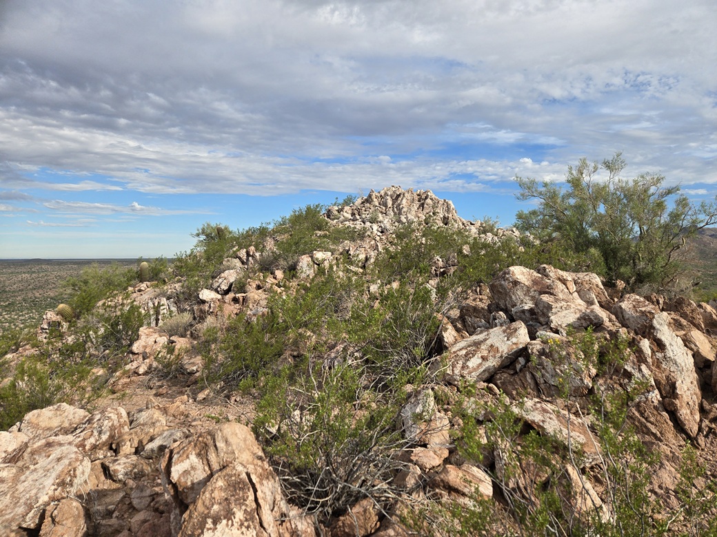
Suddenly, I was at the highest saddle! It was sunnier now, and I could feel it. The summit rocks weren't far away. I had to bypass one big rock outcrop, then it was an easy trudge up boulders to the top. It had taken me about 25 minutes to get here. It was warm but holding steady, and there was even a breeze.
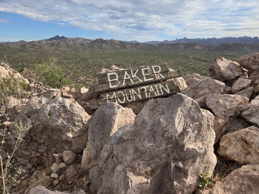
To my surprise there was a sign at the summit calling the peak Baker Mountain. The wood planks looked old, so this sign has been here awhile. I do not know the origin of this name. A local rancher? An important person in the development of the Dam? A web-search turned up nothing. The damned AI "suggested" what I really meant was a Baker Mountain up by Globe. Bite Me A.I.
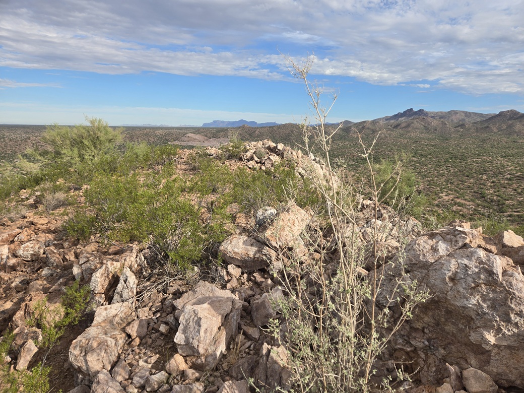
I snapped some images but didn't stop. There was a cairn, and as I dug through it, found a couple railroad spikes. Maybe "Baker" was a railroad man. But I did not find a register. This peak sees very few visitors overall.
I turned around and started down. I took the steps slowly so as not to slip suddenly. My back felt good but I did not want any sudden jerks or slips. I was able to get down the steepest parts, then walk out the rest. I was back to my car a little after 9 a.m..
I was soaked, so I stripped and changed into dry clothes. When I started the engine, the outside temperature was still 88°. I headed back out to the highway and into Tempe. It was still early so I bided my time at Tempe Marketplace before heading onto campus and cleaning up.
This little peak was more than I was expecting and I was happy to hike it. I was extra motivated after three days down with a wonky back, so it felt good to get a peak done, even a little one. I had no issues at all, my back felt good, and I enjoyed the experience.
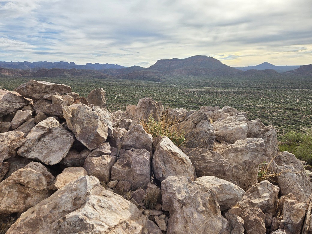
I've only been back this way once, about 27 years ago with some explorer scouts from the Pinal County Sheriffs, when I was a member of the Maricopa Sheriff's Mountain Rescue Team. We went into some box canyons for rappeling practice. I didn't get that far in today. As usual, I remember none of it except I know we were back this way. I also got some ideas for an eventual date with North Butte.
Tomorrow, my day off, I would tackle a pair of peaks in the hinterlands west of Prescott, starting with Peak 4935 near Kirkland Junction.
|

|