
The Mountains of Arizona
• www.surgent.net
|
| Antelope Peak |
• Possible Highpoint: Tortilla Mountains • Arizona State Trust Land • Pinal County |
|
Date: November 22, 2018
• Elevation: 4,547 feet
• Prominence: 587 feet
• Distance: 2 miles
• Time: 1 hour and 20 minutes
• Gain: 540 feet
• Conditions: Overcast and cool, with moderate breeze
We wanted to do a driving tour for today, Thanksgiving Day. Today was cloudy and cool, a front moving through, although we were not expected to get any rain. We were going to do a loop drive, from our home through Florence to Oracle, then north to Winkelman and Superior, and back home. There are some old mining towns out this way, plus beautiful mountain and desert scenery. For both of us, this would be our first time ever on the stretch (AZ-77) of highway connecting Winkelman and Oracle.
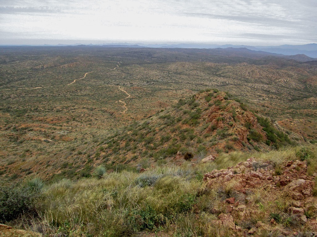
I wanted to hike a peak along the way, but did not want a long hike. I chose to hike Antelope Peak, the highest point of the Tortilla Mountains which run roughly from the Gila River in the north, to Oracle to the south. The peak kind of stands on its own, seemingly set apart from the range. It lies on the range's south end, rising above the surrounding hills. It did not appear to be a long hike.
We left home about 8 a.m. and drove south to the Gila River Reservation, following AZ-87 into Coolidge, then east into Florence. Then we caught AZ-79 and headed south toward Oracle. I had planned to possibly bail early and follow Freeman Road in from AZ-79 toward Antelope Peak, but I missed the turn off and did not realize it until much later. No big deal. We drove into Oracle then north along AZ-77, passing through the town of Mammoth and then the tinier community of Dudleyville. Traffic was light and we were in no hurry, enjoying the views.
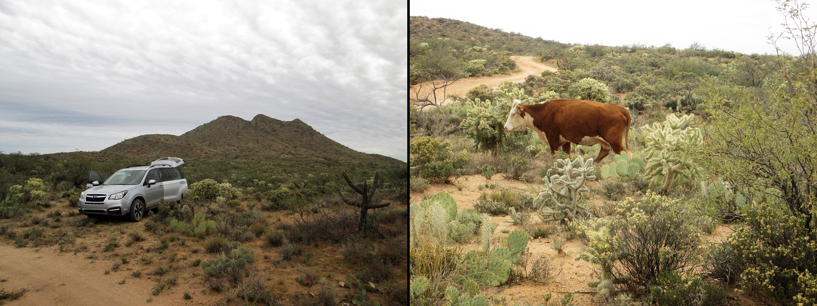
In Dudleyville, I followed local roads to where the road fords the San Pedro River Then up the other side, I went north to the east terminus of Freeman Road. This road curls around Mescal Hill, then heads west, slowly gaining elevation into the Tortilla Range. Freeman Road is well-graded, but we went slow to avoid the few bumpy spots and possible yawing. In about 10 miles, we had passed through a narrow pass and then emerged onto an elevated desert plateau. Antelope Peak stood to the south about two miles.
I drove south along a narrow road for about a mile, then angled left onto a lesser road, parking in a small pullout. We were about a mile north of the peak. I got my boots on and started my short hike quickly, leaving B. and the car at about 11:30 a.m.. I followed this lesser track as it bent south and then gained a small hill north of the peak. Here, the track ended.
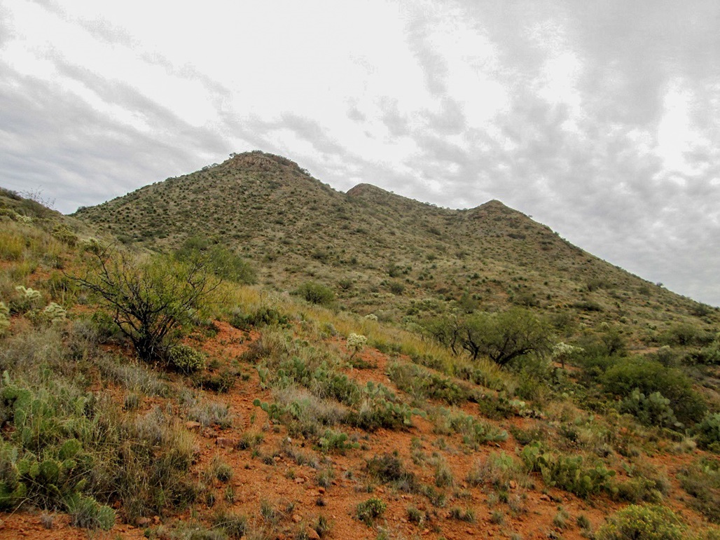
I crossed a saddle, then started uphill on the next slope, aiming for a rock outcrop above me. This section was steep and loose, with sections of coarse gravel hillsides. Footing was tricky in spots. I moved carefully and soon was at the rock outcrop. I bent right and emerged onto this rock outcrop from the west. The summit was one bump south and about a hundred feet higher.
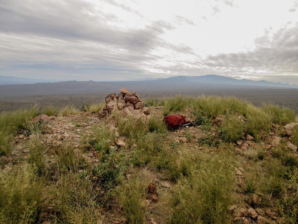
I dropped off the rocks and stayed on the brush and gravel margin, which put me on the second saddle, the one below the top. From here, it was an easy, if steep, grunt to the top. It had taken me about 40 minutes, gaining about 550 feet in a mile of hiking. It was cold and windy up here. I snapped a few photos, but the clouds muted the colors, unfortunately.
The top features a big cairn, in which a glass jar register was supposed to be housed. Instead, the jar was lying directly on the ground. I opened it and it was crammed full of papers, all damaged by moisture and/or exposure to the sun and elements. I took out most of the papers and put them in my pack, leaving behind just a couple sheets and the pencil. I would try to scan and salvage what I could from this stash. I was annoyed at finding the register in this condition. I suspect some hunters may have left it this way.
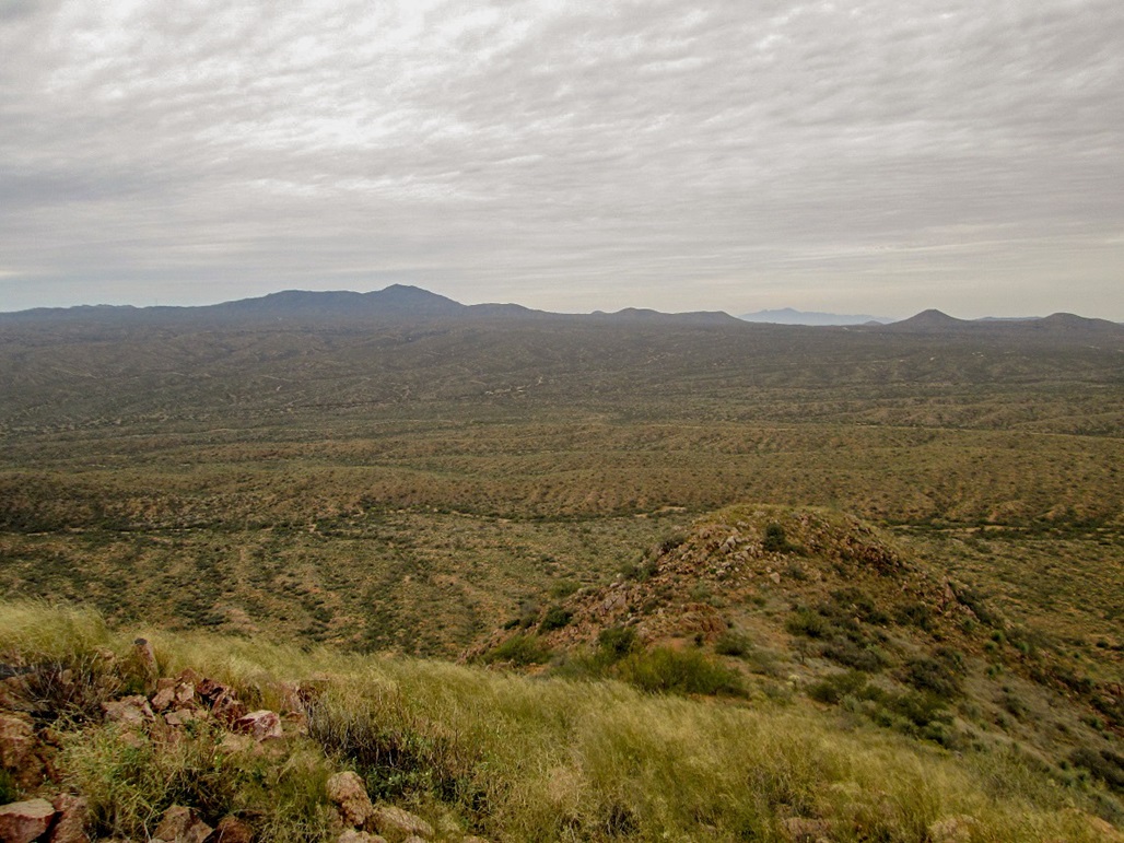
For the hike down, I did not want to retrace my route, so I dropped off the gentle west slope to another saddle, then made long downward traverses off the north-west facing slopes. This worked well, and I only needed to scoot on my butt once or twice. Quickly, I was down off the mountain, back to the track, and soon, back to the car. I had been gone one hour and twenty minutes.
We stayed about another half hour, enjoying having this patch of desert and hills to ourselves for the time being. We then drove out, going back to Dudleyville. I was surprised how much elevation we had gained on our drive--over two thousand vertical feet. Back on the highway, we drove north to Winkelman, then via AZ-177 into Superior and back home. Later, we celebrated our actual meal at Denny's.
|


|