
The Mountains of Arizona
• www.surgent.net
|
| Mount Ajo |
• Highpoint: Ajo Mountains • Highpoint: Organ Pipe Cactus National Monument • Pima County |
|
Date: December 31, 2006
• Elevation: 4,808 feet
• Prominence: 2,698 feet
• Distance: 10 miles
• Time: 6 hours, 15 minutes
• Gain: 2,600 feet
• Conditions: Cool and clear
Over the New Years weekend of 2006-07, I planned to hike a trio of southern Arizona peaks, Woolsey Peak near Gila Bend, Mount Ajo in the Organ Pipe Cactus National Monument, and Kitt Peak on the Tohono O'odham Nation. In truth, Woolsey Peak was more of a scout and Kitt Peak would be a drive-up, so Mount Ajo was the real impetus for my journey.
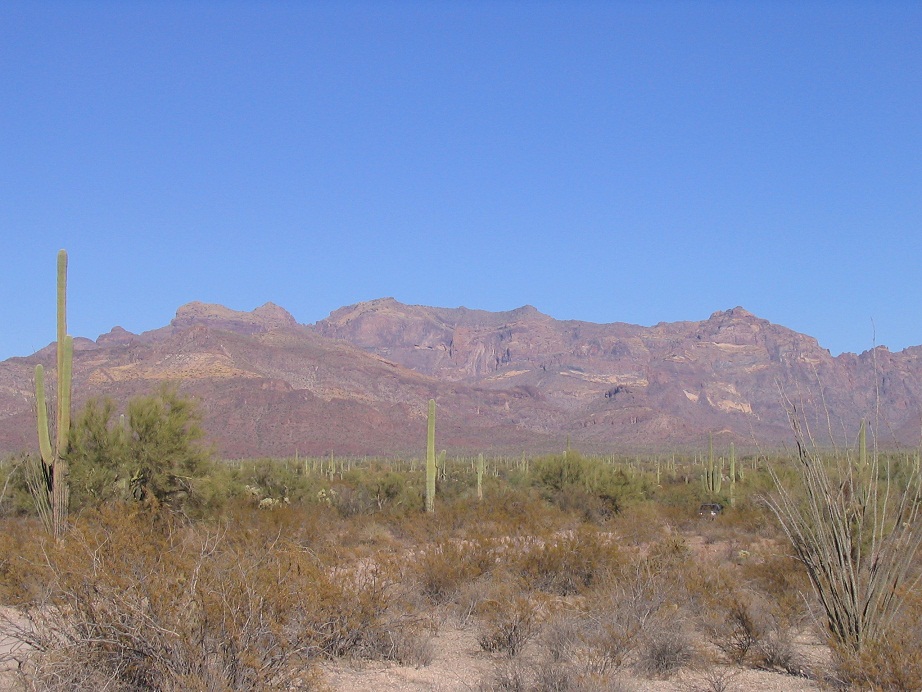
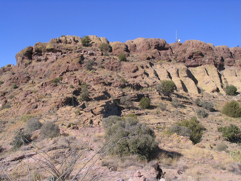
Having lived in Arizona for 14 years by this point, I had not yet visited the Organ Pipe Cactus National Monument. I needed to rectify this issue. What better way than to climb the Monument's signature peak, Mount Ajo? I had read great things about Mount Ajo, so I was primed for a hike up this famous peak. It is supposedly rugged enough to make one feel like a real climber, yet not so much so that most mortals like me can't handle it. From a distance, the Ajo Mountains look imposing, with cliffs, rocky faces and spires, typical for all mountains in this part of the country. It would be a challenge that I would enjoy.
I left home yesterday (the 30th) and spent half a day futzing with the roads leading to Woolsey Peak. Behind on time and growing frustrated with the nasty roads, I bailed and decided to locate myself to Organ Pipe while it was still daylight. The main campground was only about a quarter full. I had a lengthy chat with one of the hosts, then just lazed around camp the rest of the day.
The next morning, I awoke at 6 a.m. and got moving before 7. The weather was chilly but still. I left the campground and visitor's center lot, crossed the highway and onto the Ajo Mountain Drive Loop. This is a good dirt road (with pavement in some places), that runs for 22 miles in a clock-wise loop. It passes below a foreground range, topped by Mount Tillotson, then up through a pass and down (south), parallelling the Ajo Range. I pulled into the Bull Pasture and Estes Canyon parking and picnic area about 7:30, the only one there. I changed into my hiking clothes but also stayed in the cab of my truck, warming up and giving the sun a chance to get higher. It was 8 a.m. when I started hiking.
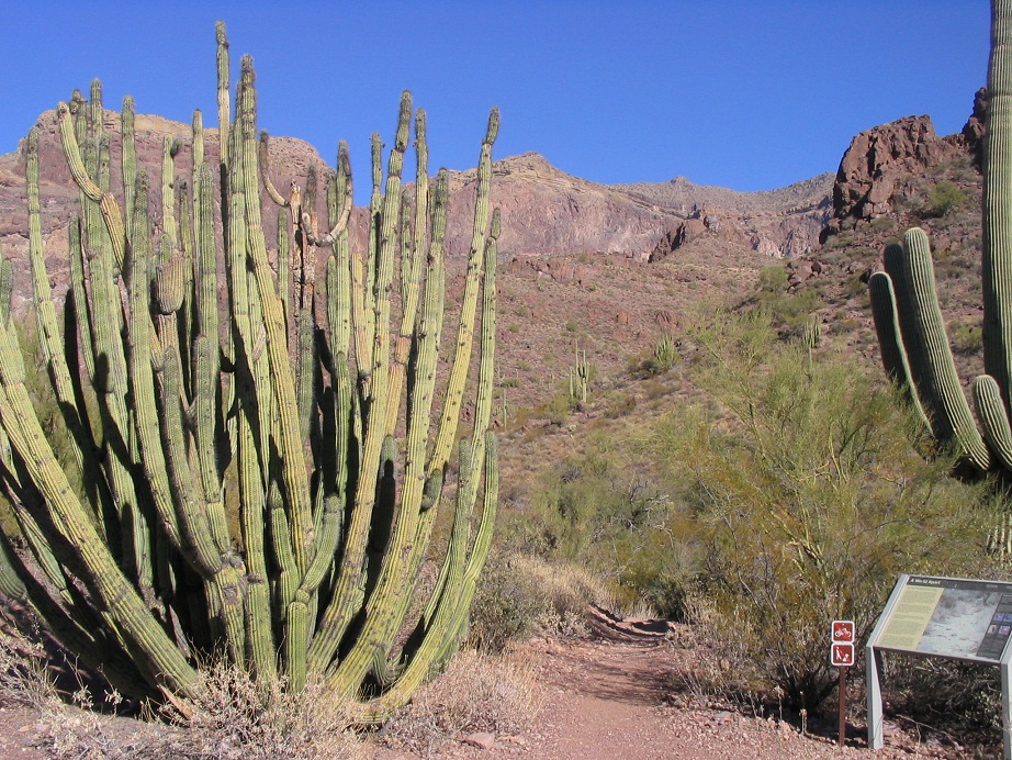
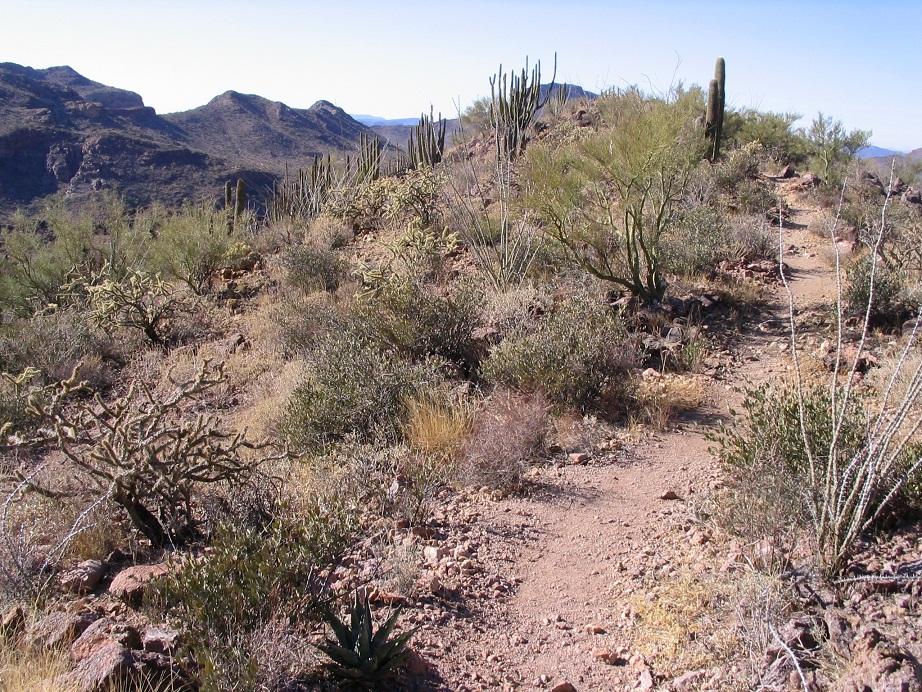
The trailhead is marked by the usual signs, including one warning of illegal crossers and smugglers and to be careful. A gigantic organ pipe cactus sits beside these signs, as well as a saguaro. Mount Ajo stood out as a leaning point high on the cliffs above me. A good trail starts in and splits a few feet later near a washbed. I stayed right and took the shorter (and steeper) route up to Bull Pasture, gaining about 800 feet in 1.5 miles in slightly less than an hour (the longer route via Estes Canyon adds a half-mile to the hike). This was fun hiking amid fields and hillsides thick with cactus, including saguaro, organ pipe, ocotillo, and cholla. Part of the trail runs underneath a big rock face, and some of it has been cut into the rock by trailbuilders. In time, the maintained trail ends at a sign overlooking Bull Pasture.
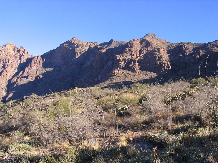
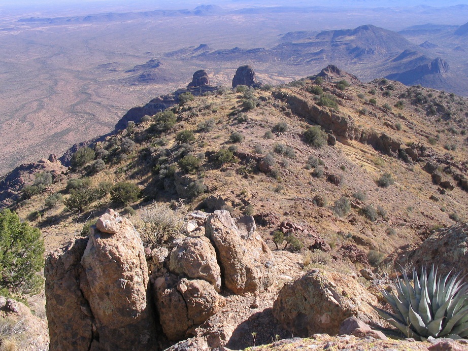
At the Bull Pasture sign, I stopped for a break and looked over the rest of the route. Mount Ajo's summit still stood way high, guarded by west-facing cliffs. Trending south (my right) from the summit was a smaller pointed peak, and a larger subsummit marked as elevation 4,620 on the map. South of Peak 4,620, the ridge continues in a broad sweep, south then west. On the ridge's west end, like a prow, is an oddly-shaped thumb of rock. In the farthest reaches of this wall of cliffs is a drainage, greener than the surrounding flora, and marked by tuff spires called "the cones". The reports all mentioned these items as navigation waypoints, the general idea being to hike to the thumb (but not quite all the way to it), then turn east, hike to the cones, where the trail would work itself up and over the cliffs to the ridge, and presumably from there to the top. From where I stood, it looked like a haul and I couldn't really see just where the cliffs could be breached. But off I went, eager to find out.
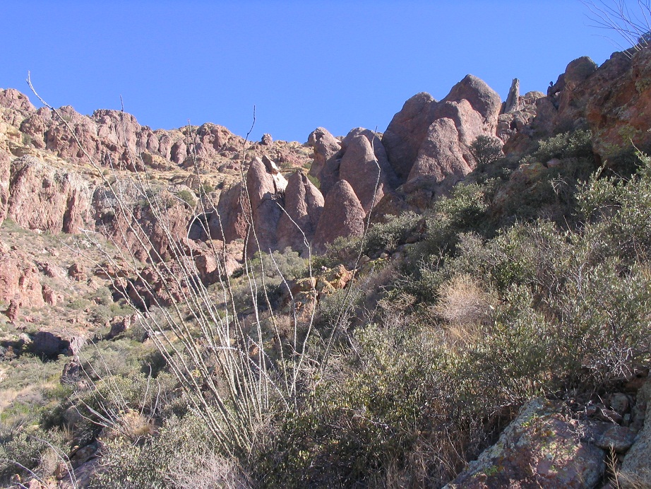
The trail past the Bull Pasture sign is not maintained, but enough people hike this trail to have beaten it in to the ground so that navigation is easy. Ironically, the trail seems weakest just after the sign as it descends into a drainage. Where it crosses rocky sections, I had to keep an eye out for small cairns to stay on course, and once or twice I found myself stumped and having to make an educated guess, but I never had too much trouble. Once the trail reaches a low point, it improves and gains gently, heading southeast toward the thumb. Soon, it reaches a flat area below the thumb where the trail makes a sharp turn east, traversing the scrubby hillsides and ocassionally working through rocky sections. In all, this section has a very gentle gradient, which is nice for the legs but meant that at some point very soon it would get quite steep if it was ever going to get above the cliffs and onto the ridge. Soon I was below the cones, and it was here the trail made up for its lax gradient.
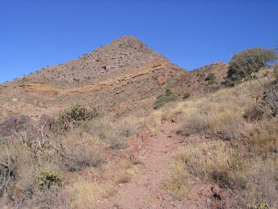
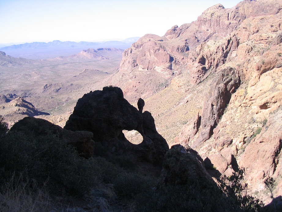
For a few hundred feet as the trail works left and up behind the cones, the route is extremely steep and rubbly. While it's not exposed or technical, this kind of loose, rubbly scree is the bane of my existence, and I went slow here, slipping often. A treat along the way is a natural arch nearby the trail, and it looks like you can easily get inside the arch, too (But I didn't). Finally, the trail came to a little notch of rocks near the headwall of the canyon. I was now near the ridge, and I could see the route clearer now. Ajo's summit was hidden behind the false summit of Peak 4,620. The trail evidently would traverse beneath cliff bands along sloping scrub hillsides toward a prominent ridgepoint below Peak 4,620.
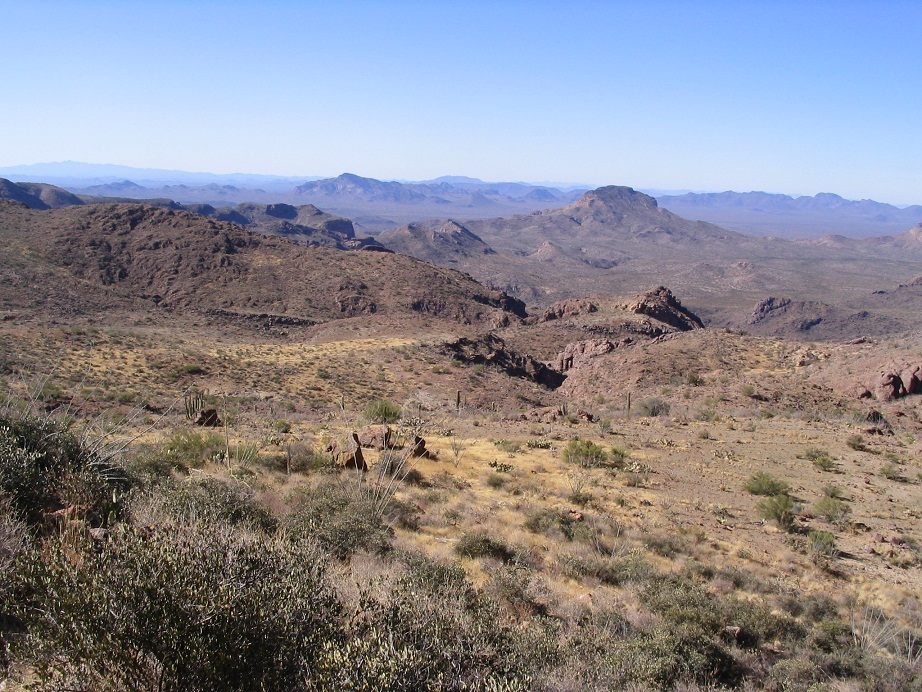
Past the notch, the trail dropped and began a long sweep northeast toward the false summit. In places, the trail crossed rocky runouts with little room for error, but otherwise the trail was in good condition and pitched at a nice slope, and I made good time. I took my next break as the trail surmounted the ridge for the first time, south of Peak 4,620. To the east was the endless desert of the Tohono O'odham Nation. I could spy little villages and a couple water towers. To the north was the big hulk of Peak 4,620. Again I wondered just where the trail went here since it all looked well guarded by the cliffs.
After my break, I continued along the trail as it trended to the east of the foreground peak. In places, cairns marked the trail, but mostly, route-finding was easy. The crux of this section is a steep chute, gaining about 30 vertical feet and marked by an agave plant in its base. Holds were plentiful and exposure was not a concern, but the loose rock required care. Shortly, I was above the chute and back onto trail. It hugged high on Peak 4620's east side and eventually worked its way north, where I had my first high-up views of Mount Ajo. The trail then improved, stayed high and often right on the ridge, until I was at the base of the final slope to the top. The last 40 vertical feet required a couple of short easy scrambles, and quickly, I was on top.
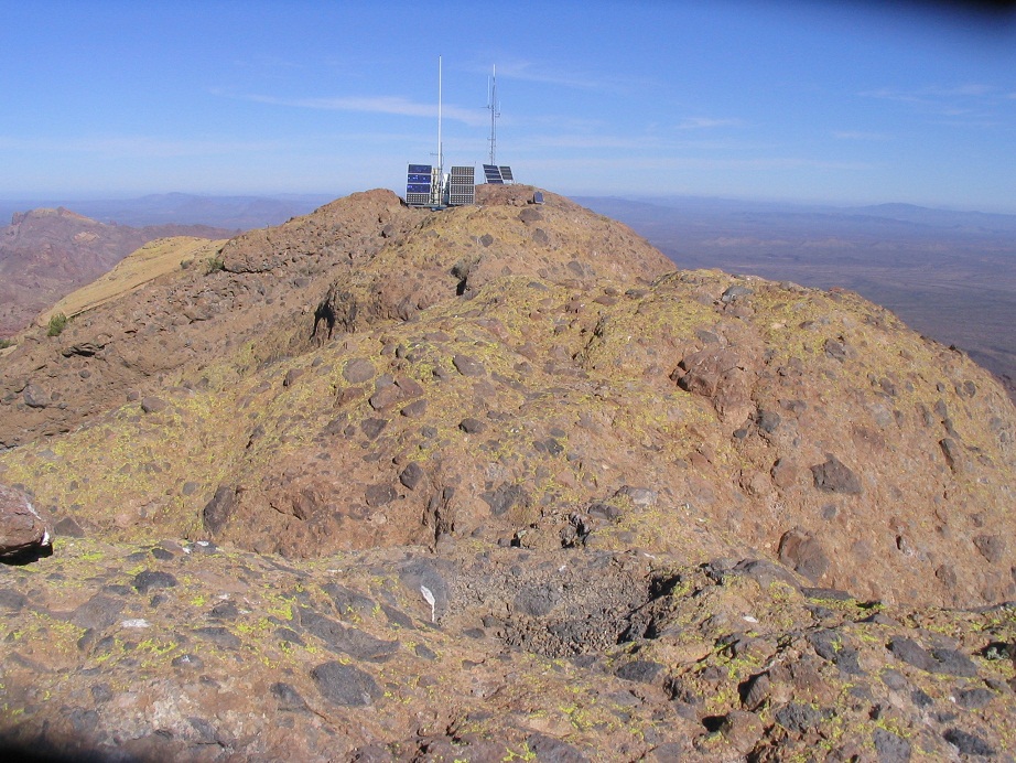
I sat beside a large white (rusted) strong box, which I opened to find a register. I signed in, noting I was the only person up (so far) for today, and only one other had signed in the day before. In fact, only 3 or 4 people had signed in since Thanksgiving, but the register was old and full of names going back many years. It would seem that based on the register, about 100 people reach the top in a typical year. This peak is popular with the Southern Arizona Hiking Club and the Sierra Club's Desert Peaks Section. I suspect half the climbers are affiliated with at least one of these clubs.
I rested nearby the register, then walked up and down the bare rock to a couple other points that looked possibly higher than the register's location. A few others evidently felt the same way, as I found a small cairn at what I believed to the highest point nearby a solar panel. Afterwards, I went back and sat near the strong box. The views were astounding on such a clear day, including many peaks in Mexico. I could see my truck at the trailhead. I wished for a long zipline to take me directly down, but figured the hike down would be rewarding, too.
I started down after 15 minutes. The tricky sections weren't too bad high on the ridge, and I made good time as I worked my way back across the canyon headwall and the steep rubbly sections near the cones. Sure enough, I stumbled all over the place here, often using my butt as a point of contact, sometimes deliberate, sometimes not. I went slow here, then below the cones and onto better trail, picked up my pace. I was back to the Bull Pasture sign after an hour where there were four people sitting around having a lunch. They were the first people I'd seen on the trail all day. They were very quiet, almost like they deliberately didn't want to talk. My "hi" went unanswered. Maybe they no speakee the English.
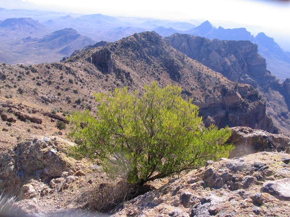
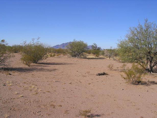
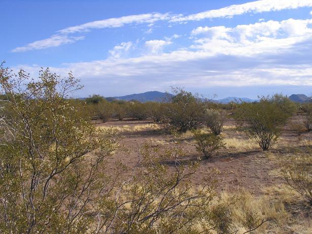
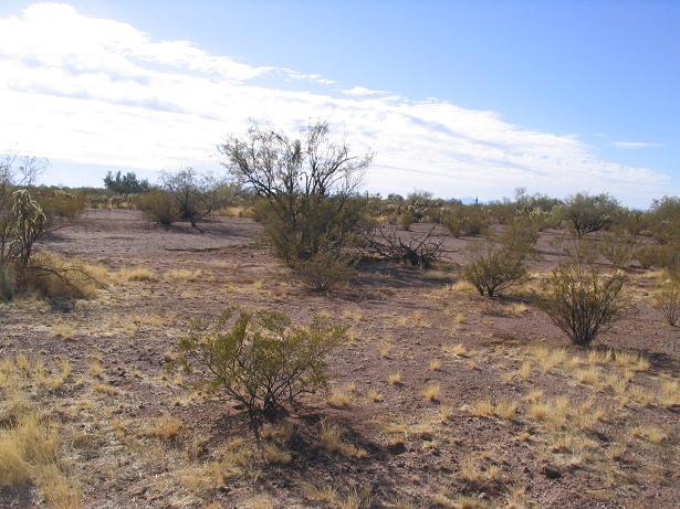
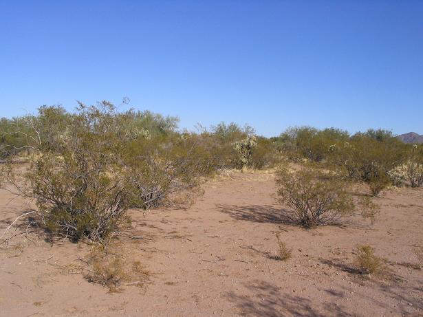
With much of the range out of the morning shadows by now, I took advantage of the opportunity to snap photos. Most of what you see here was taken on the descent. The final mile and a half went fast, too, and I was back to my truck within an hour. It was past 2 p.m., and I changed into drier clothes and got moving, making the leisurely drive back onto the highway, and stopping for photos along the way.
I stopped back into the Organ Pipe Visitor's Center to inquire about the loop road on the park's west side, Puerto Blanco Road. After a ranger was shot dead by a Mexican smuggler in 2002, they closed the road and that entire section of the park indefinitely (It has since re-opened, as of 2014). I then drove south five miles into Lukeville, the small settlement on the Arizona side of the Mexican border. I picked up drinks and snacks. I returned north, passed a Border Patrol checkpoint, passed through the town of Why, and then proceeded west along AZ-86 across the Tohono O'odham Nation.
My plan was to camp near Tucson and hike up Kitt Peak the next day. I camped at the Gilbert Ray campgrounds on the Tucson Mountains Park Preserve near Saguaro National Park. I was asleep by 10 p.m., but awoke again at midnight as everyone cheered in 2007. Twenty minutes of hollers, horns, firecrackers and gunshots followed, then quiet again. My Kitt Peak hike did not happen, as the road was closed (I planned to hike a jeep road that could only be accessed from the highway, which was closed). Besides, clouds had moved in and it was kind of gloomy. Instead, I spent the day exploring the backroads of the Tohono O'odham Nation, including visiting two confluences in the region. described below. I was home in Phoenix by 2 p.m., welcoming in 2007 with my wife.
We made a return trip to Organ Pipe in late 2008, camping at the main campground and driving the scenic byways. However, we did not hike much. We've grown fond of Ajo and have stayed there a couple time, including Thanksgiving one year and Valentine's Day another.
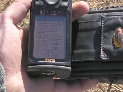
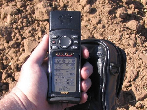
This confluence lies west of Sells, the "capital" of the Tohono O'odham Nation. I drove on state route AZ-86 west a few miles and parked near the 112th meridian. I quickly scooted under the fence and hiked 0.8 mile to the point, which wasn't that exciting. I hustled because the TON usually is pretty strict about hiking off any roads. I was back to my truck after about a half hour total. Fortunately, my truck was still there and no one had ticketed me.
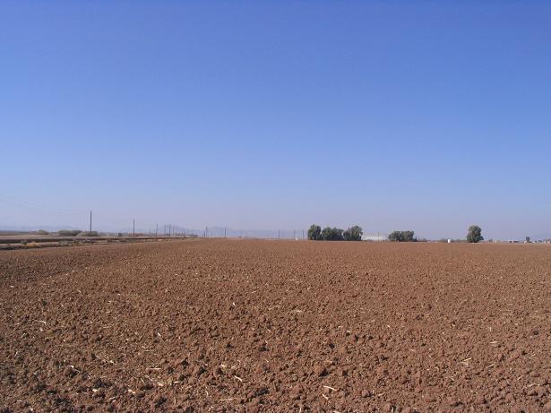
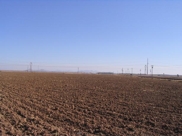
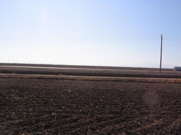
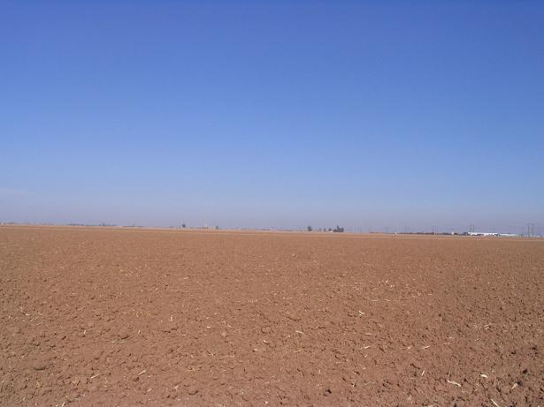
I next visited this confluence. It lies on a farm field between Maricopa and Casa Grande. As you can see, it is completely dull. It's the closest easy confluence to the greater Phoenix area (and even the parts that are not so great).
|


|