The Mountains of Arizona
www.surgent.net |
|
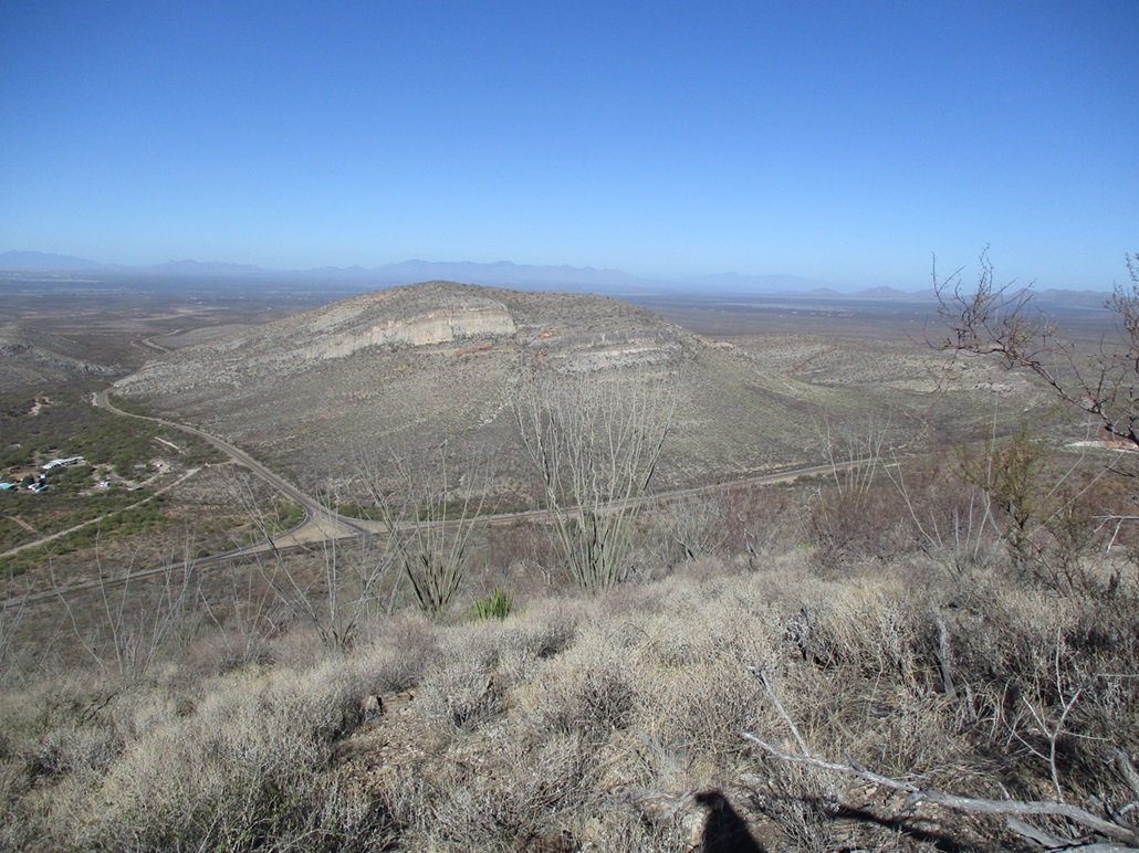
Peak 5430 & JCT Benchmark • Peak 5230 There are two ranked peaks that lie right at the junction of Arizona state routes 80 and 90 between Bisbee, Tombstone and Sierra Vista. Peak 5430 lies north and east of the junction, while Peak 5230 lies west. A third ranked peak lies about two miles to the southwest but a shooting range blocks access to it. I planned to climb both of these peaks in one day but after completing Peak 5430, bailed on Peak 5230 as I had actual work to tend to. The junction is poorly-designed and dangerous, in my opinion. It's a T-junction, but there is a merging lane for eastbound people on AZ-90 to enter onto AZ-80, but this lane is short, with essentially no room or time to actually merge. Plus there are some curves and rises/drops that limit visibility. One just has to be attentive here and careful
Date: November 20, 2023
• Elevation: 5,430 feet
• Prominence: 390 feet
• Distance: 2.9 miles
• Time: 90 minutes
• Gain: 740 feet
• Conditions: Sunny and clear
Arizona
•
Main
•
PB
•
LoJ
•
USGS BM Datasheet
From Bisbee, I drove through the main "Old Bisbee" part of town, passing through the tunnel at Mule Pass. They were doing work on it today so only one lane was open at a time, but I got lucky and our group was already moving when I was there. I dropped down the west side and parked in a clearing east of AZ-80, just north of the actual junction.
I found a path into the weeds which came to a wire-stick gate, which I eased through. I followed the path a few more yards to a big pit, which appeared to be a "borrow" pit they often dig for filler when building highways. It would explain the gate. The pit these days is filled with brush.
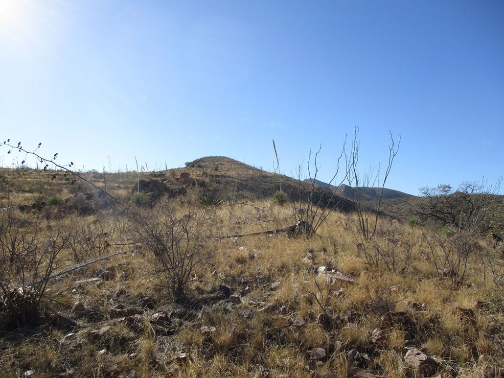
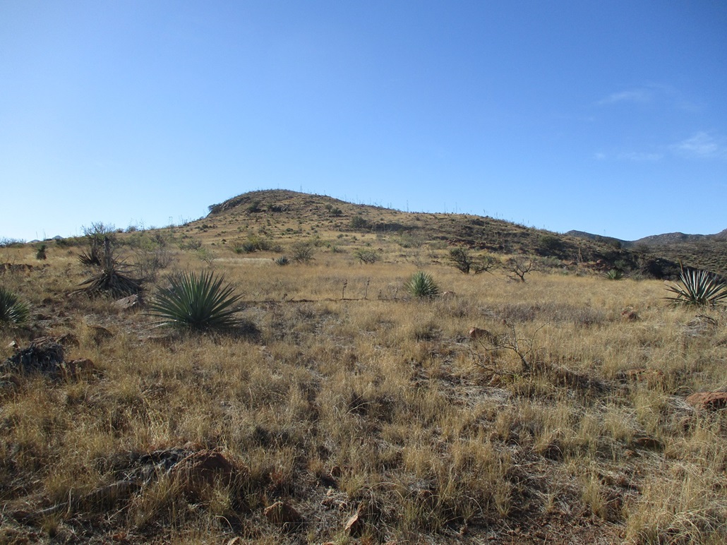
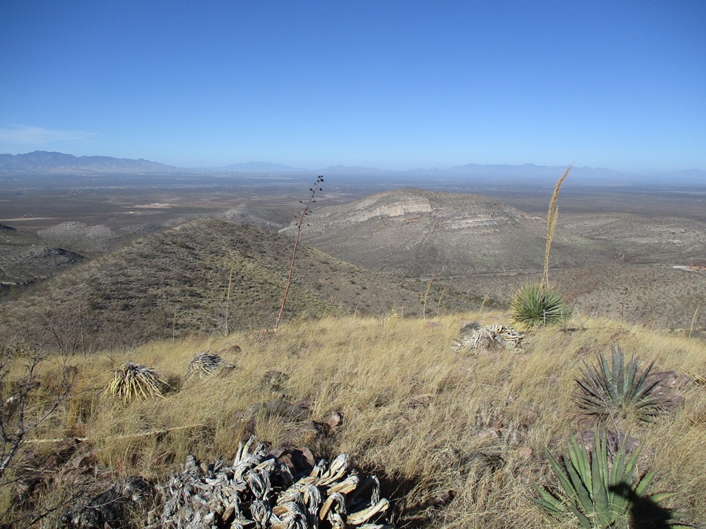
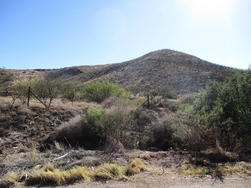
I angled left (northeast) and up the closest hill, weaving through the ocotillo to gain its top, then down about 40 feet on its opposite side, then up a slope to place myself on the main north ridge of Peak 5430, which I could easily see by now. The terrain was grassy with rocks and brush, but mostly open and easy to travel through.
On the north ridge, I just walked up the long and easy slopes to the top, crossing a fence line about 20 feet below the summit. I found a cairn here but no register. I had followed paths about half the way here so it's evident that others come here now and then for business or lesiure.
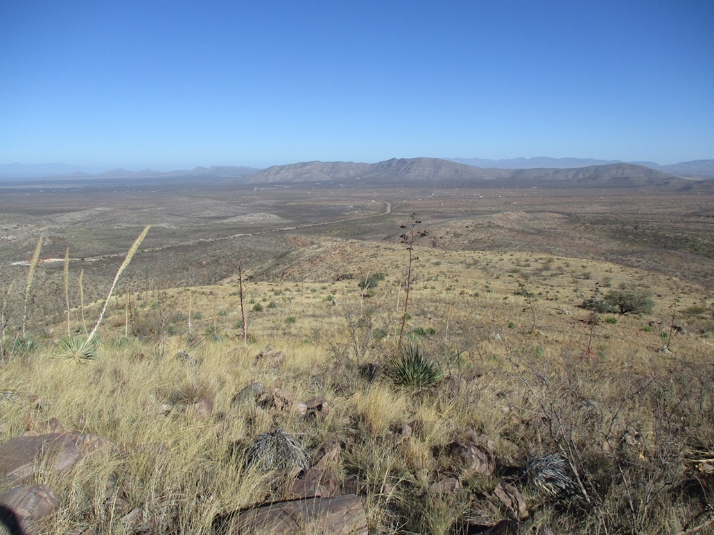
The weather was clear and chilly, but pleasant. The sun was still low to the east and much too bright to shoot photos in that direction. I spent a few minutes up top, never really stopping, but wandering from one edge to the next.
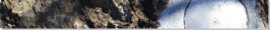
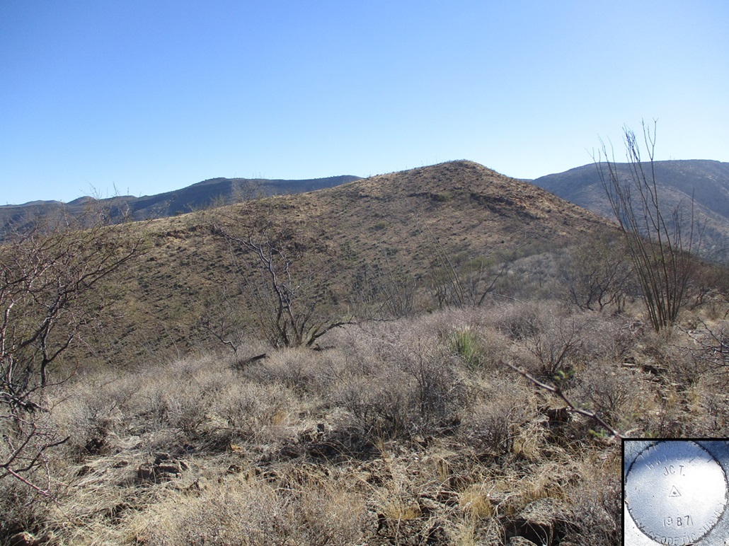
For the descent, I wanted to follow the western ridge down. There's a hill, prominence about 50 feet, which holds a benchmark. It's not noted on the maps but is mentioned on the benchmark websites. I found it, a shiny silver disk stamped "JCT" and monumented only in 1987 by the Arizona highway people. This lower hilltop has a better vantage down below than the higher summit, which is probably why they put it here.
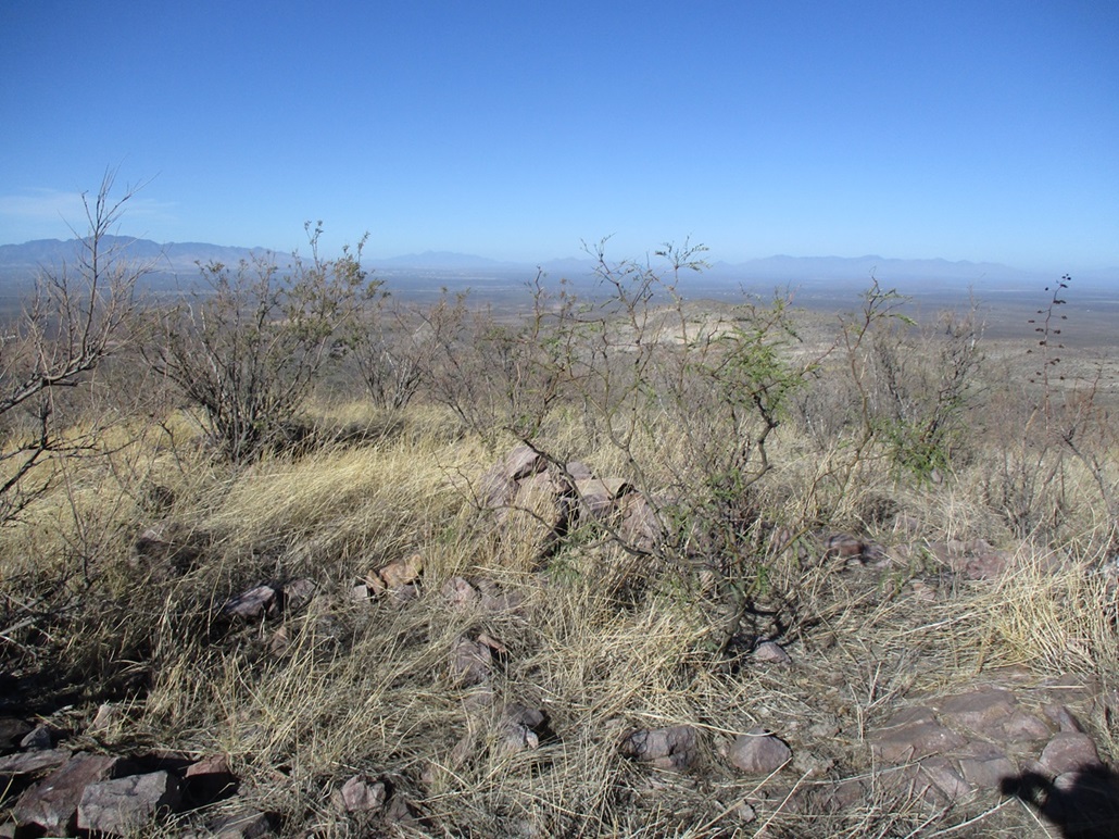
The rest of the descent went fast. I followed a path that paralleled a fence all the way down. It was steep at times with rocks that rolled and occasionally heavy thickets of ocotillo (which are popular here for some reason). This fence angled a little more to the southwest which meant I had to walk alongside the highway to get back to my car.
The round trip hike took about 90 minutes and with the extra wandering, came in at just under 3 miles. It was at this point I decided to hold off on Peak 5230 for now. I headed back to Bisbee to attend to my tasks.
Date: 2023
• Elevation: 5,230 feet
• Prominence: 386 feet
• Distance: mile
• Time: minutes
• Gain: feet
• Conditions:
|


|