
The Mountains of Washington
www.surgent.net |
| Copper Butte |
• Highpoint: Ferry County • Highpoint: Kettle River Mountains • Colville National Forest |
|
Date: July 27, 2004
• Elevation: 7,140 feet
• Prominence: 4,740 feet
• Distance: 5 miles
• Time: 4 hours
• Gain: 1,700 feet
• Conditions: Sunny but smokey air from fires up north
Main
•
PB
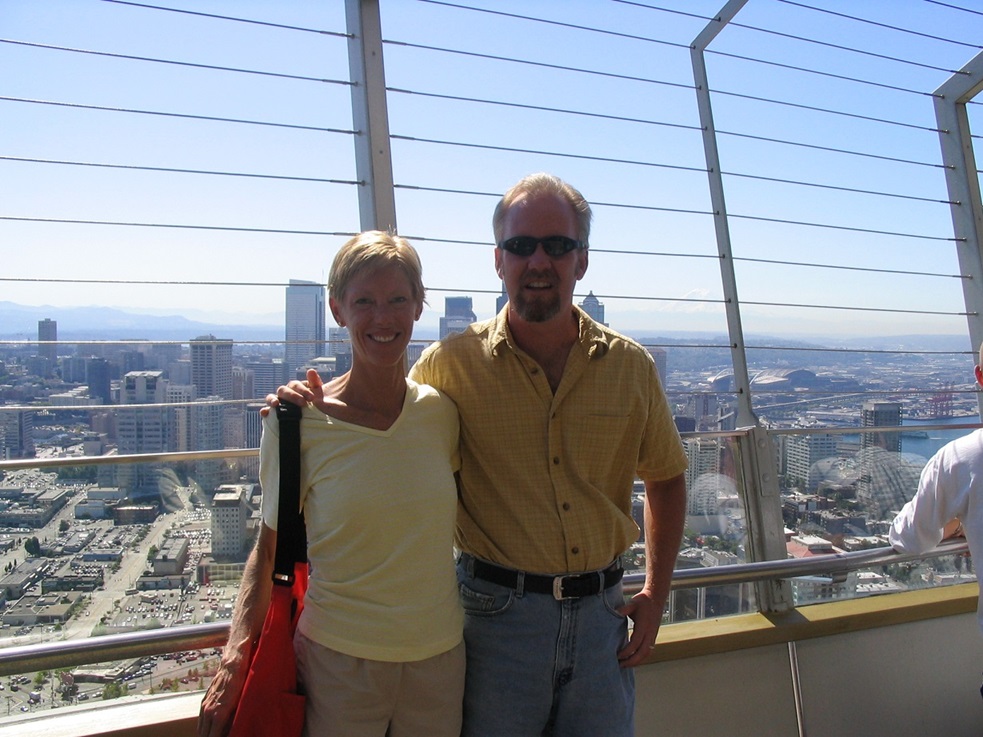
Our last hike was five days ago, on Mount Constitution. In the intervening time, we spent three days in Seattle, where βð lived for a number of years in the 1990s. She took me to a lot of her old favorite haunts, as well as the usual tourist spots such as the Space Needle, the Pike Street Fish Market and the flagship REI store. This was my first extended time in Seattle. I had been here twice before but only briefly.
We then drove into Canada and spent two days and an night at Harrison Hot Springs, one of βð's favorite places. The scenery was astounding, with snow-covered peaks looming above the narrow valleys and mountain lakes. We then drove south and re-entered the United States at Osoyoos, then found a cheap hotel in the town of Republic.
This hotel was something else. It is built into the sides of a hill and the ground floor seems to be pulling away. The floor had cracks and irregularities where the concrete slab had broken and moved. The carpet hid these cracks but some were a good two inches difference in height. It's a wonder no one had shut down this place. It stayed up for the night we were there, which was all we asked.
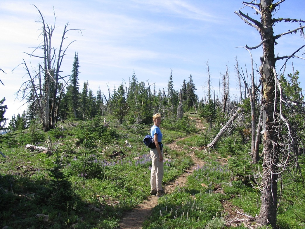
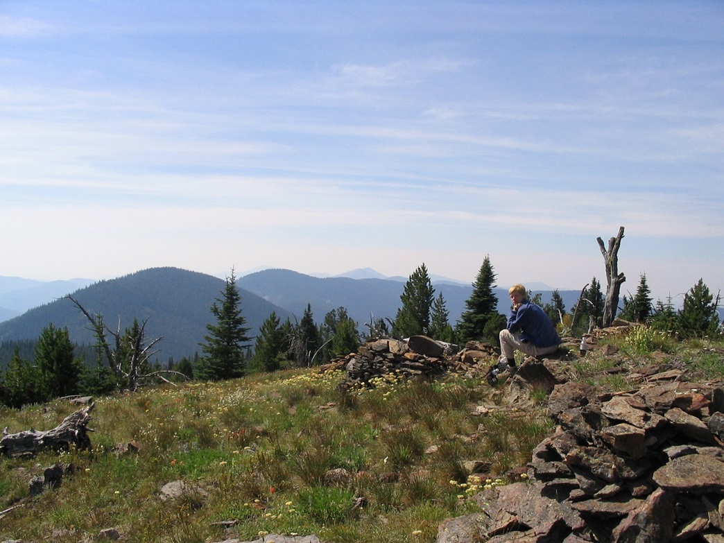
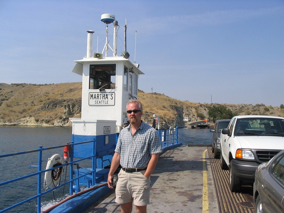
The next morning, we awoke not under a mound of hotel debris. Thankful to be alive, we got moving toward today's hike of Copper Butte, the highpoint of the Kettle River Range and of Ferry County, and one of the more prominent mountains in the state. From Republic, we followed state route WA-20 east 20 miles, passing Sherman Pass, which at over 5,000 feet, is the highest paved road in the state of Washington. On the east side of the pass, evidence of a massive forest fire from 1988 was still present. Although there was a lot of new green growth, there were still a lot of burnt trees. We turned off the highway onto Albian Road (Forest Road 2030) and followed the well-graded dirt road north for 7.3 miles to the "Old Stage Road" trailhead, also known as the "Old State Road". This road was built around 1890 and was the first state-funded throughway in the state of Washington. We drove in a short way to the parking area at the trailhead. It was 9 a.m. and we had clear conditions, a bit cool, but nice overall. The air was smoky from fires burning up in Canada, but it was not intrusive. For the first half of the hike, about 1.5 miles, the route is along the actual road (now called trail 75). It makes just one switchback turn and gains gently through the forest. After a mile, we came to a cleared section still bearing the scars of the 1988 burn. Ironically, the burn allowed better views down to the valleys below and of the rounded summit above us. We passed through a wire gate, then shortly hiked to a saddle on the range crest, placing us north of the summit. It took us less than 45 minutes to get here, with a gain of 600 feet. Continuing south briefly along the road (now trail 1), we turned left onto the Kettle Crest Trail (trail 13). Steeper than the road, our pace slowed but we still made good time. We took our only extended break at the first of the two switchback turns. Shortly, we resumed hiking and achieved the elongated summit ridge. The summit was still a quarter-mile away but it was mostly flat walking. Up here, not as heavily forested, it was small copses of pine and open grassy meadows with lots of rock piles (and cairns). We achieved the summit and took our normal half-hour snack break here. The views were quite pretty. To the east we had clear, crisp conditions, while to the west the views were slightly obscured by the smoky haze. The summit itself features over a dozen large rock cairns, as well as evidence of a long-ago lookout up here. A rusted bed frame is not far from the summit rocks. The climb took under two hours, covering about 3 miles one way with about 1,700 feet of vertical gain. The only downisde were the incessant insects: bees, big flies, and a little critter from the bowels of hell that would bite us everytime it landed on us. We got moving after a short while. The hike down went quick. We found an old functioning compass just laying on the trail toward the bottom, so we picked it up for our collection. We were back to our car in just over an hour, for a total time out of about 4 hours (I think we were something like 3:57). We drove back to Republic for lunch, then drove south, getting a hotel in Moses Lake. The drive included a ferry across a river. After a rest day, we hiked Strawberry Mountain in Oregon next. |


|