The Mountains of Utah
• www.surgent.net
|
| Scrub Peak |
• Beaver Dam Mountains • Beaver Dam Wash National Conservation Area • Washington County |
 Scrub Peak
|
Date: August 5, 2009
• Elevation: 6,786 feet
• Prominence: 2,065 feet
• Distance: 4.2 miles
• Time: 3 hours
• Gain: 1,800 feet
• Conditions: Clear and warm, getting hot
Utah
•
PB
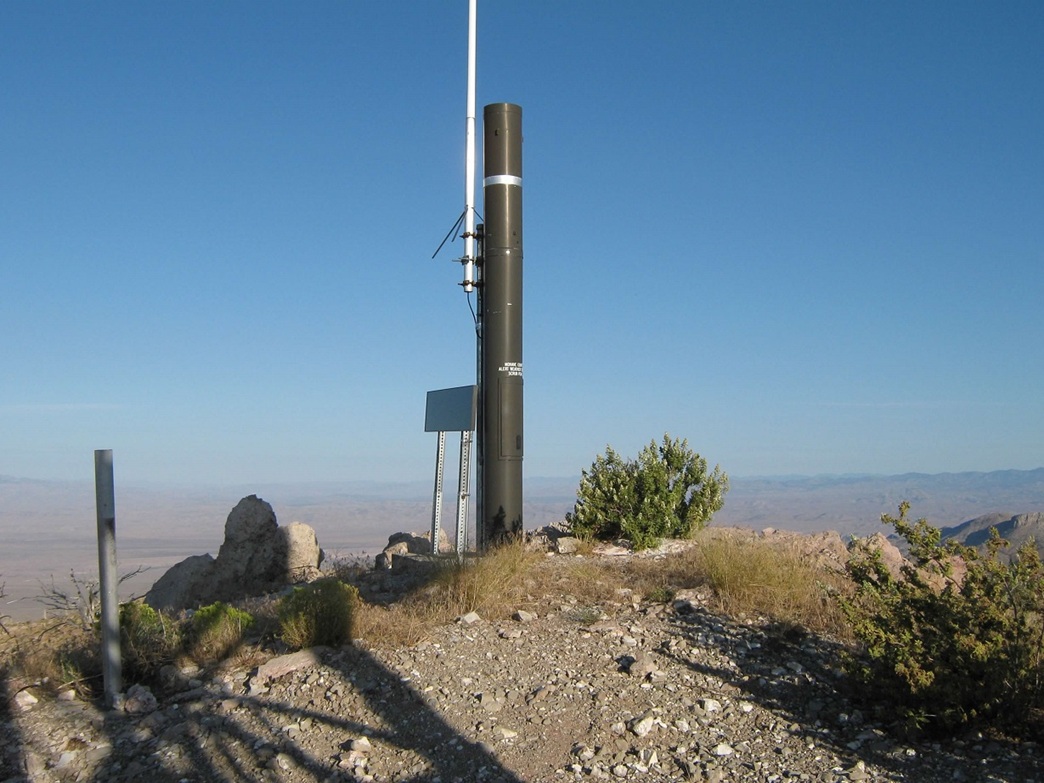
Scrub Peak is the highest point of the southern half of the Beaver Dam Mountains in southwestern Utah. The highest point in the Beaver Dam Mountains is West Mountain Peak, which I hiked in 2007. Scrub Peak stands tall, but in anonymity. It's not visible from St. George, and up close, it's not obvious which bump is the summit. There are towers atop the summit, but you have to look hard to see them from below.
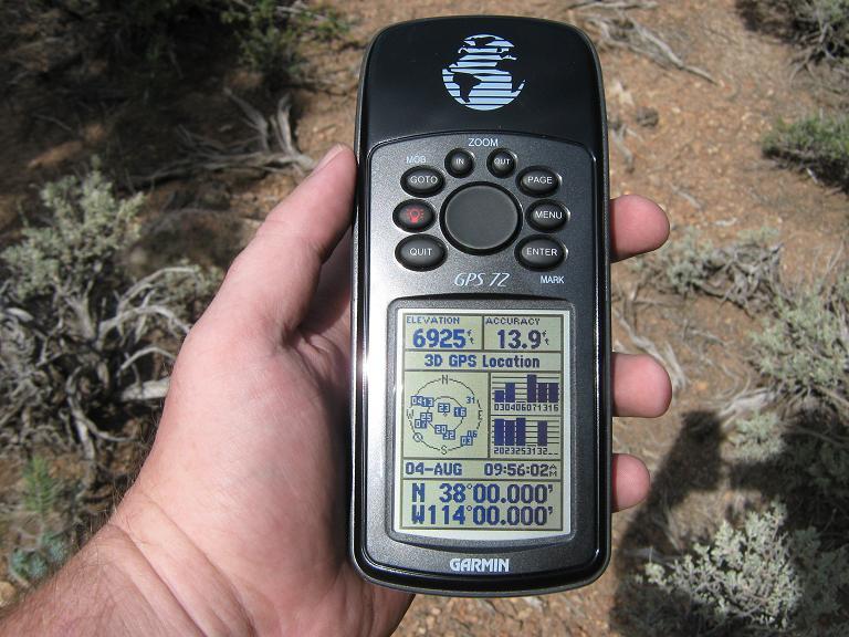
I was on a three-day trip through southeastern Nevada and southwestern Utah, hiking a handful of easy prominent peaks in between visits with my family in Henderson, Nevada. I had already hiked Mount Wilson and Highland Peak in Nevada, both two days ago. Yesterday was a rest day. I camped at Cathedral Gorge State Park, slept in, then explored the badlands of the park. From there, I drove to St. George. Along the way, I visited the latitude-longitude confluence North 38, West 114 (see below). I also visited the memorial at the Mountain Meadows Massacre Site, where Mormon settlers and Indian mercenaries attacked and killed over 100 members of a wagon train of emigrants from Arkansas back in 1857. In spite of all my deliberate delays and side trips, I still arrived in St. George in the early afternoon, so I killed time at a bookstore, then got a cheap but decent hotel room in town to shower and relax.
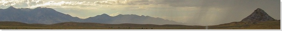
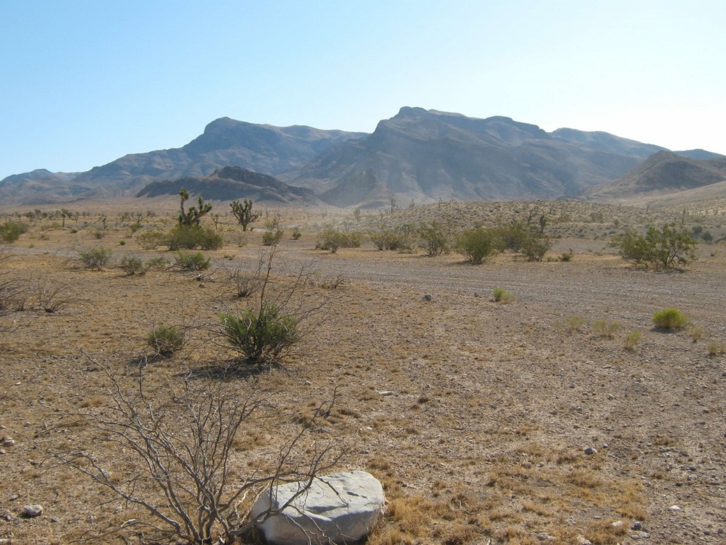
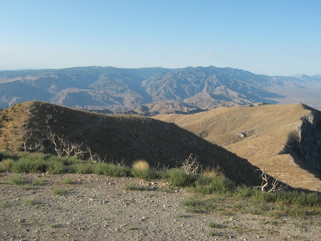
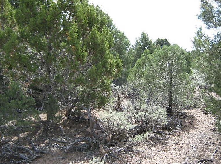
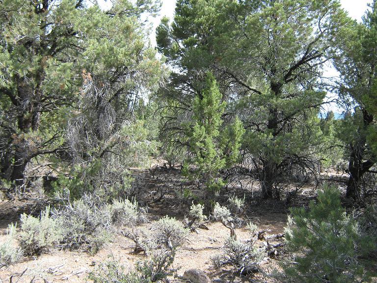
From St. George, the Beaver Dams are visible to the southwest, slightly "tanner" in color when compared to the redder-colored hills surrounding St. George. The north-facing slopes of the Beaver Dams feature more forest, while the south and west-facing slopes are nearly bare, featuring scrubby grasses and cactus. Scrub Peak is also lower than West Mountain Peak by about 800 feet, and given the heat I encountered on West Mountain Peak back in 2007 (about the same time of year, too), I knew it would probably be very hot on Scrub Peak, and nothing to shield me from the sun. As such, I opted for a pre-dawn start from St. George with the intent of being parked and possibly hiking before sun-up.
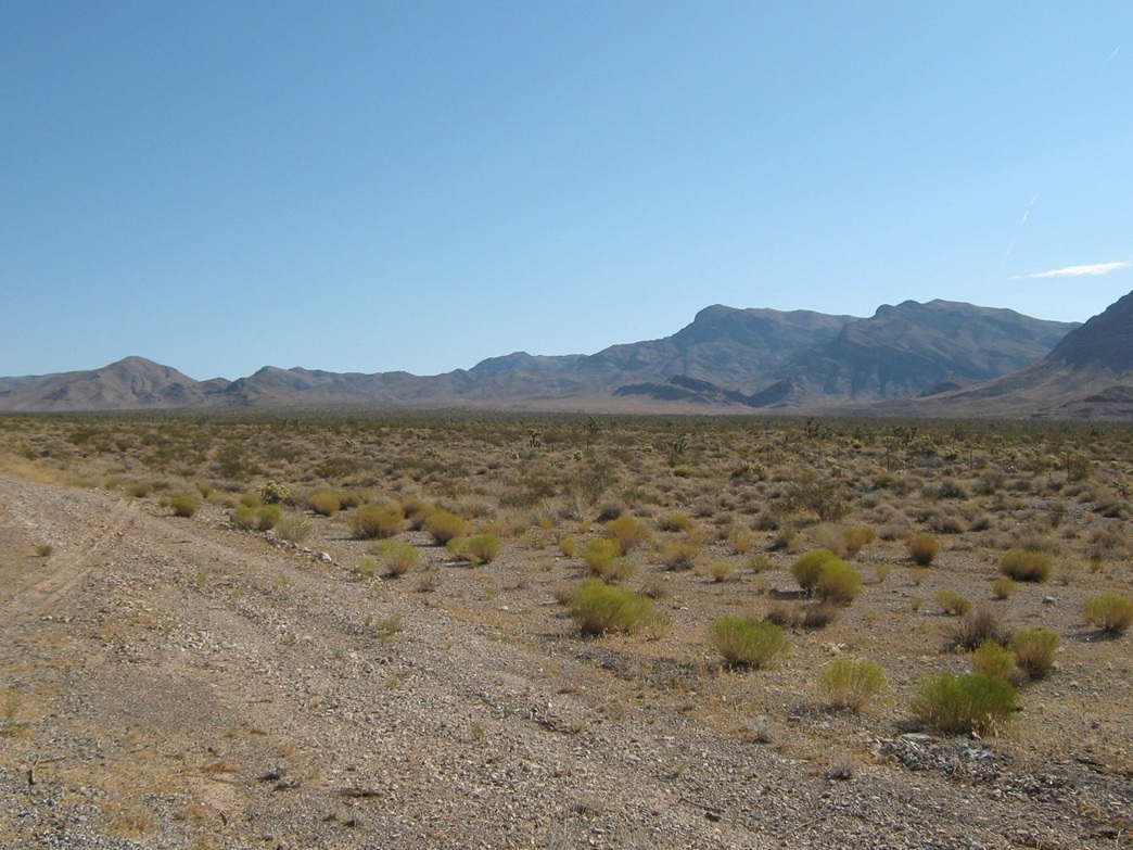
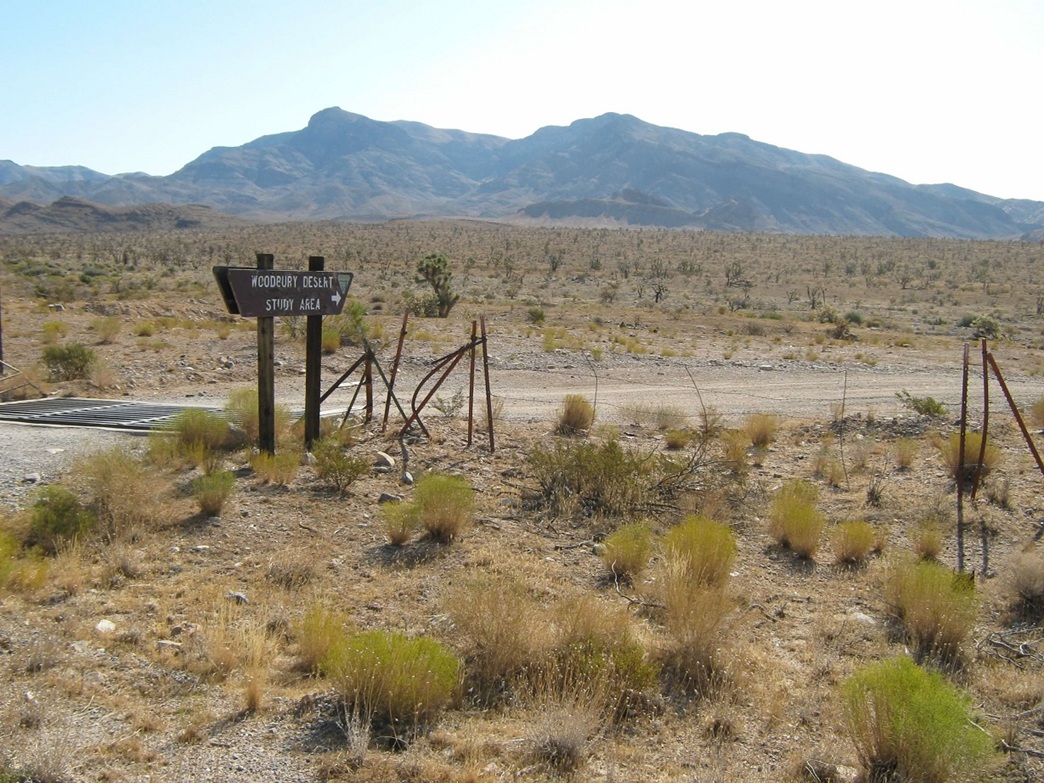
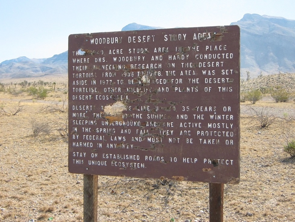
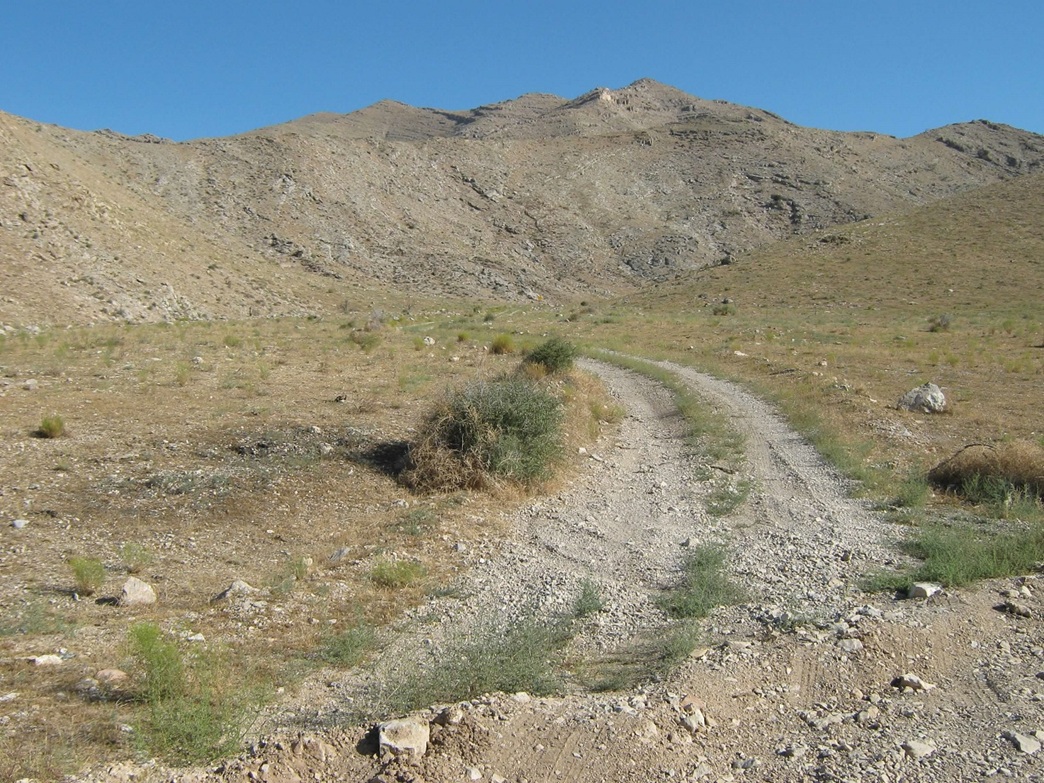
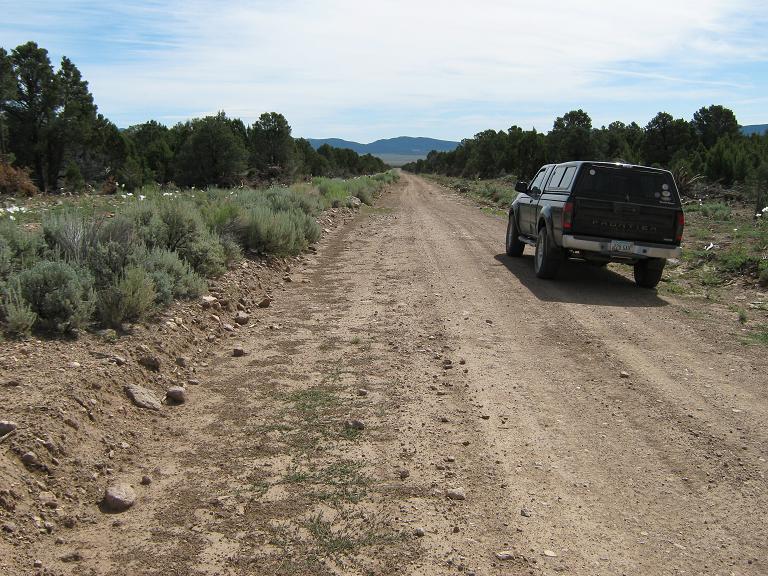
There was a full moon tonight, and it was still high enough to offer light as I drove from St. George via Santa Clara, Ivins, and the Shivwits Reservation down old US-91 to the dirt-road turn-off toward Scrub Peak. I found the dirt road (signed as the Woodbury Study Area) and turned onto it, heading east and northeast along the southern perimeter of the range. I followed Woodbury Road for 6.3 miles heading toward Bulldog Pass, then turned left onto a two-track that leads to the summit, a rough service road for the occasional visitors to the towers. I managed to drive in another 1.8 miles up this marginal 4-wheel drive road. I parked at a pull-out at 5,100 feet elevation. I was pleased to get this far, leaving me just over two miles from the summit with about 1,800 feet of gain.
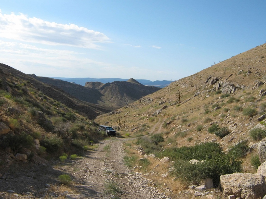
I started hiking at 5:15 a.m., just as the sun was breaching the eastern horizon. It was mostly dark and I was in a canyon for much of the first portion of the hike. Still, I had plenty of light to navigate by, and all I had to do was follow the road. Even at this early start, the air was warm, suggesting another hot day once the sun got high in the sky. The road looked fine for the first few hundred yards, then it got steep, then moderated a little and came to a locked gate, at elevation 5,900 feet and about a half-mile from where I had parked.
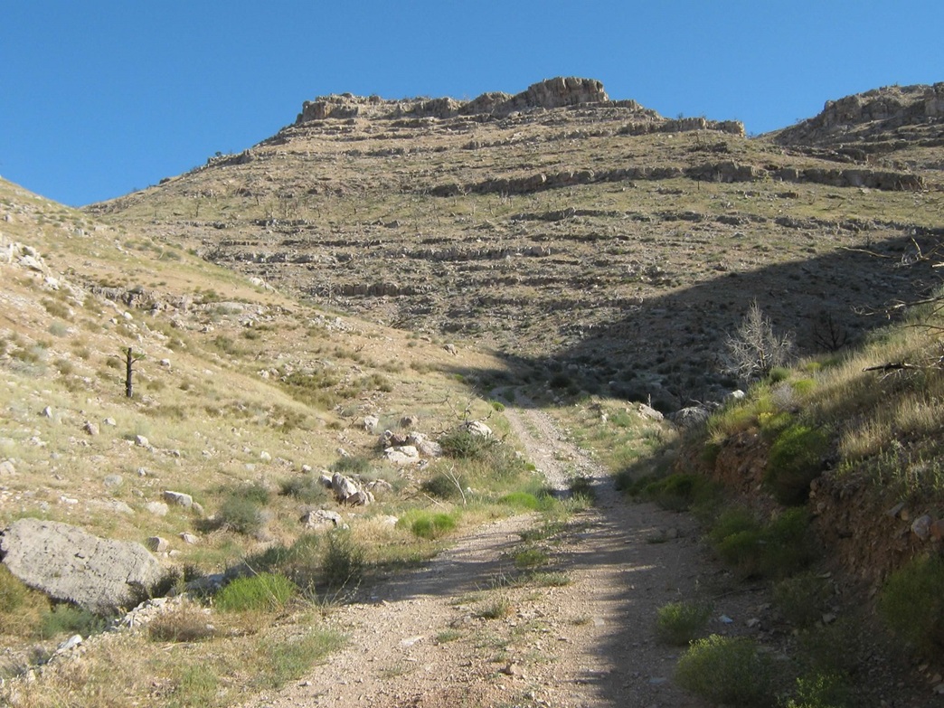
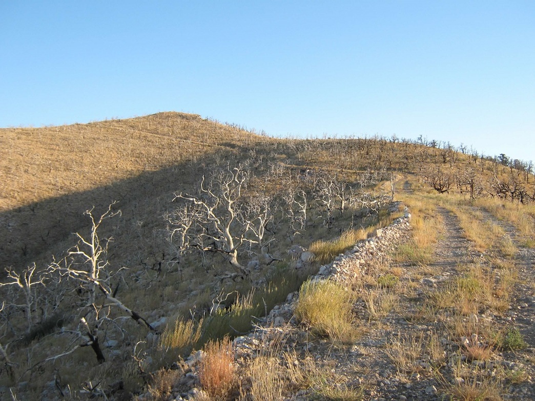
Past the gate, the road continues upward, traversing west-facing slopes covered in burnt trees, evidence of a fire from long ago. The road grade would alternate between kind-of steep to very steep, but I pushed forward, making good time and taking advantage of the shade afforded by the hillsides. The road switchbacks a couple times and emerges onto the main spine of the ridge. I took my first and only break here, getting out my sunglasses and checking out my map.
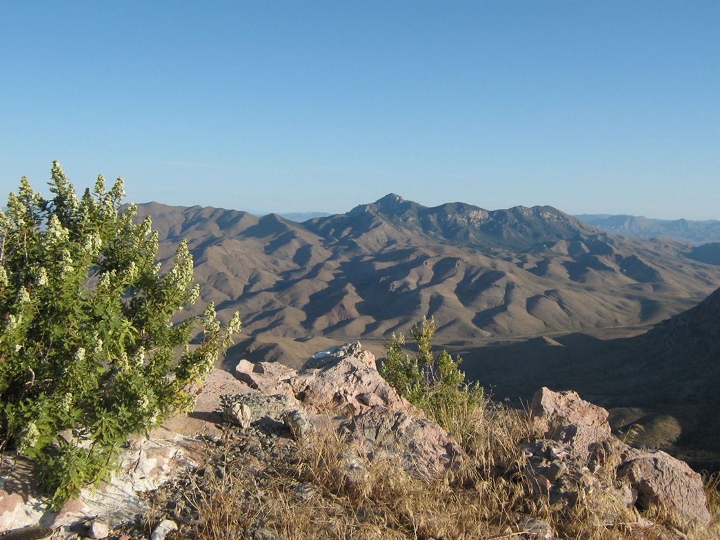
Continuing, the road works up another knob, then toward the summit and its towers, not far ahead. The road stays low on the west side of the ridge before coming to the top from the north. A small shed sits at a saddle, and the summit is home to a small communications tower used by the Mohave County (AZ) Sheriff's Office. I arrived at 6:45 a.m. The air was still but pleasant, and I had wonderful views in all directions. I spent about 15 minutes here to relax, change my shirt, hydrate, and shoot photos. North was West Mountain Peak, south were the Virgin Mountains, and west was the Mojave Desert, getting ready for another simmering afternoon.
The hike down took an hour, and I had to go slow and be extra careful with my left ankle, still sensitive from twisting it a month ago. The steep slopes and sometimes rubbly road surface meant I had to really watch myself, and more than once I slipped, but never actually fell. The gate seemed to come quicker than expected, then came the really steep portion of road below the gate. Okay, here I had trouble, and my ankle was just itching to roll on itself, so I simply told it no, don't you dare.
I took a break at the base of this steep stretch in shade, noting the intense warmth. I was back to my truck by 8 a.m., all in one piece and pleased to be down safely. The early start was a good call as the warmth was really kicking in. Las Vegas was about 106 degrees yesterday, so I figured up here might see 95 at the hottest part of the day. That's what I experienced on West Mountain Peak two years ago and it kicked my butt. This time, everything worked well.
I changed into dry clothes and drove slowly down the service road back onto Woodbury Road. There was another truck on Woodbury Road. I came down onto the main road about a quarter-mile behind him, but he was going very slowly and while I tried not to gain on him too quickly, I did when he simply stopped in mid road, not aware I was behind him. He got out, saw me, got back in, pulled aside, and I slowly inched past him, thanking him. No response, stood there like a statue. I drove out to US-91, took more photos, then drove into Mesquite for cholesterol at McDonalds. The drive back to my folks' home in Henderson took about 90 minutes, and I visited with my parents and my brother and his family, who came up unexpectedly to show off their new motorboat.
My trip had gone well with three successful summits and good therapy for my ankle. Scrub Peak is too far for me to drive (over 400 miles) to justify visiting it on its own, so it was nice to include it in with this journey. As is often the case, it turned out to be a real treat of a hike and a neat summit, definitely worthy of a visit.
This confluence lies a couple miles east of the Nevada-Utah state line, in the Hamlin Valley. The roads to it are good, and the conflunce itself is almost on a road itself; I only had to hike into the scrubby forest a few yards to claim it. This round trip from the main highway took less than an hour, covering 35 miles, all on good roads.
|


|