The Mountains of Utah
• www.surgent.net
|
| Brian Head Peak |
• Highpoint: Iron County • Highpoint: Markagunt Plateau • Dixie National Forest |
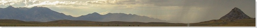
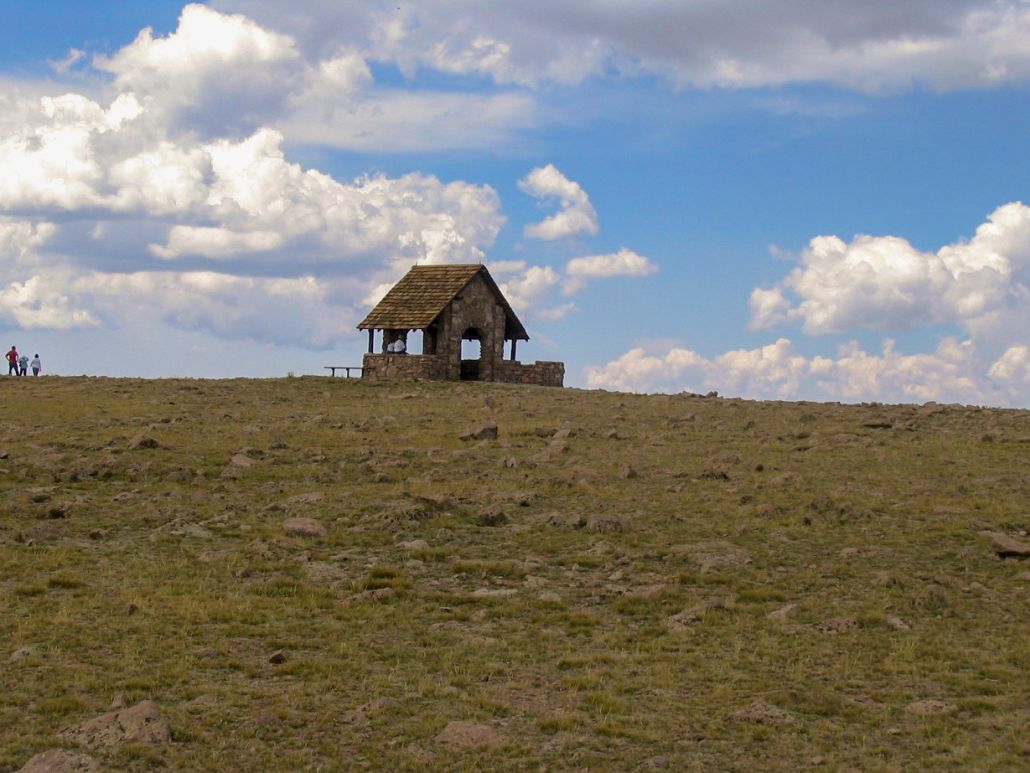
 Brian Head Peak from Cedar Breaks Monument
|
Date: (1) September 1, 2001, (2) July 29, 2007
• Elevation: 11,307 feet
• Prominence: 3,747 feet
• Distance: 3 miles (hike on first visit)
• Time: 1.5 hours (hike on first visit)
• Gain: 200 feet (hike on first visit)
• Conditions: Storms brewing in 2001, nice in 2007
• Teammates: Beth in 2007
Utah
•
PB
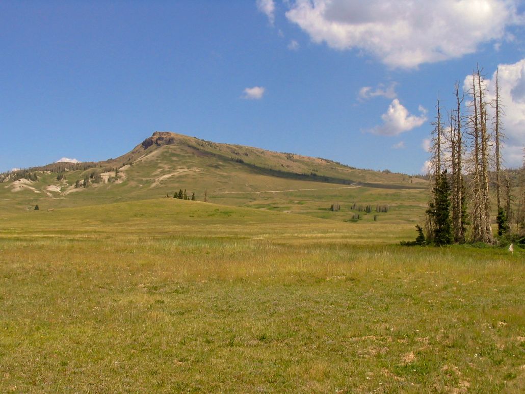
Brian Head Peak is a prow-shaped hill sitting atop the highlands of the Markagunt Plateau in southern Utah, overlooking the town of Brian Head, famous for its skiing. Despite an elevation of over 11,000 feet, there is no climbing challenges to attain this peak, making it one of the easiest big summits to visit in all of Utah. I have been here twice, once in 2001 and again in 2007, with my wife, Beth.
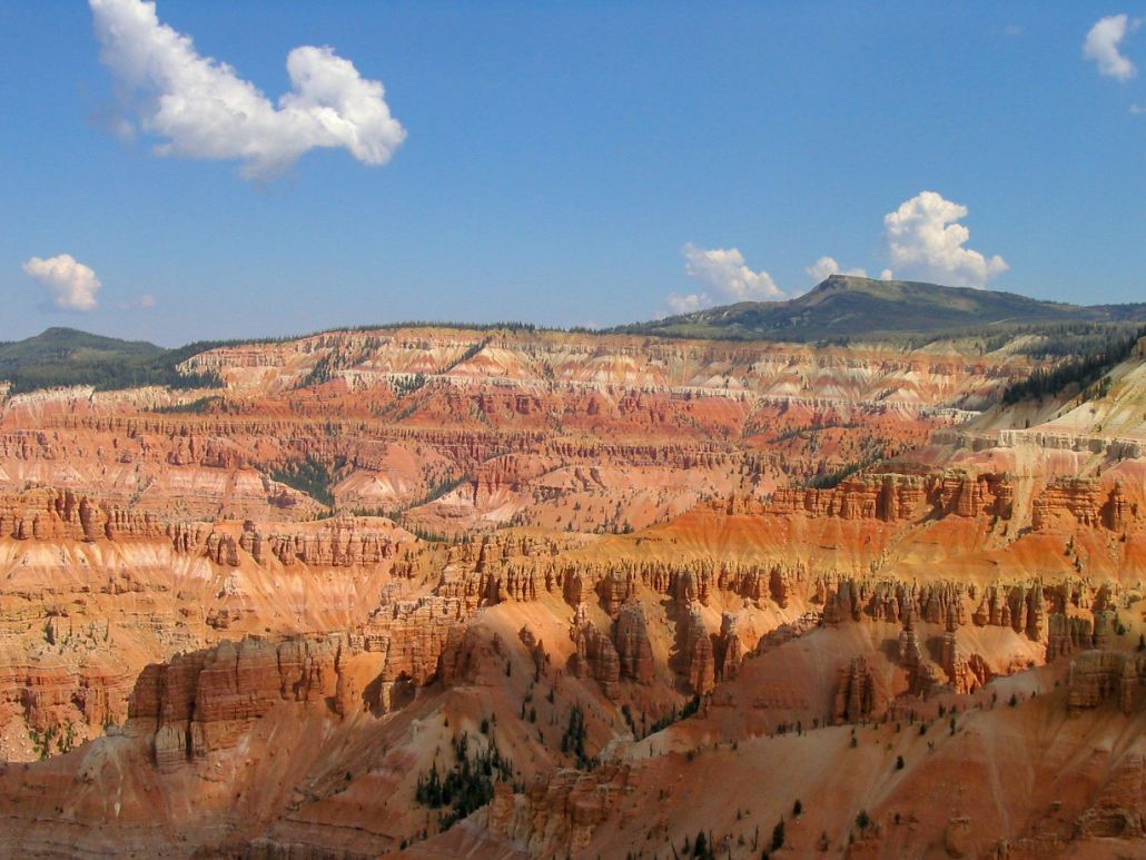
First Visit, September 2001: For Labor Day weekend, I drove to Utah, planning to visit county highpoints in the southwest part of the state. This morning, I visited the highpoint and highpeak in Kane County. From there, I stopped for a short visit to the Cedar Breaks National Monument. My father and I visited here back in 1991, while I was in graduate school. Brian Head Peak stands out when looking north over the pink spires of Cedar Breaks. Naturally, this is all unbelievably gorgeous. A few more miles got me close to Brian Head Peak.
A good gravel road (Brian Head Vista Road) leaves the highway and runs to the top of Brian Head Peak, three miles away. The road is good enough even for the weeniest of passenger vehicles. At this high elevation, the trees are thin and scattered, segregated into little copses, so the views are fantastic in all directions.
I drove Brian Head Vista Road about two miles and parked in a pull-out, intending to hike the remainder to the top. I followed paths and my own routes across the high meadows, but all this did was feed me back onto the main road, which I walked the final portion to the summit area, avoiding cars and their dust clouds coming from both directions.
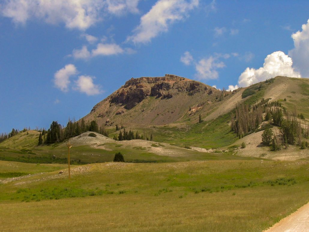
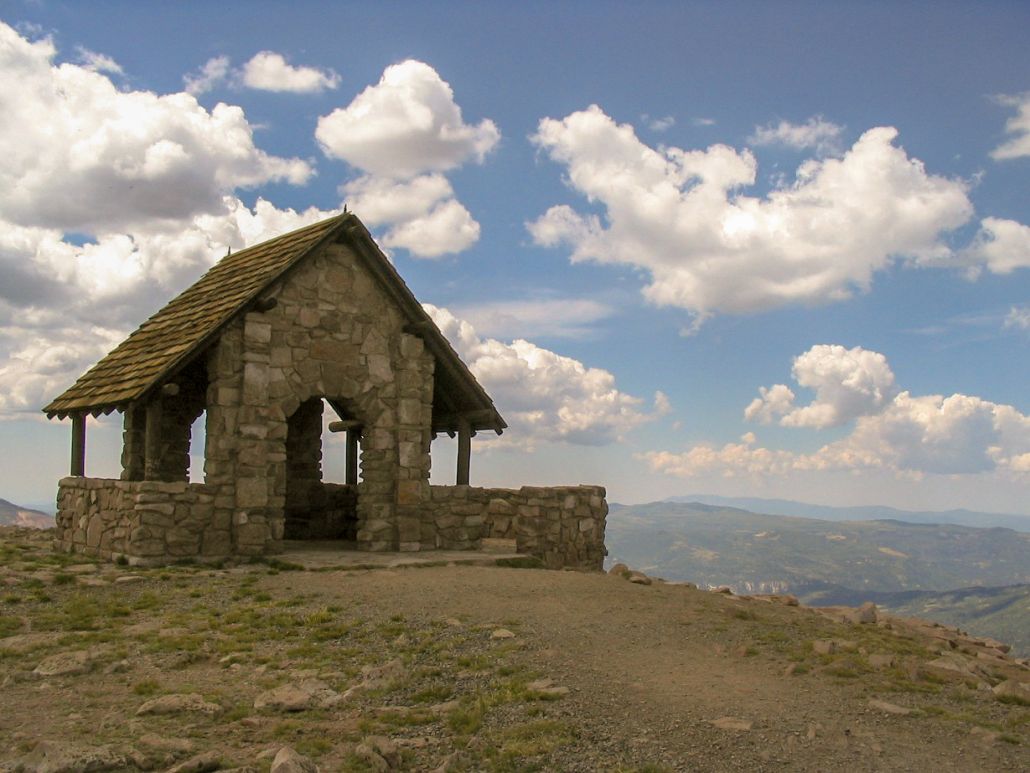
The summit is broad and flat. A hut is here, but the summit could be anywhere along the cliff rim, so I spent time checking all prospective points just to be sure. The views are marvelous. There were thunderstorms brewing to the east, though. I walked back down the road to my truck. In retrospect, I should have drove the stupid road to the top.
Second Visit, July 2007: We were on a week-long trip visiting the North Rim of the Grand Canyon, and highpoints atop the Kaibab Plateau. We camped, and encountered a lot of rain. We then spent a night drying out in family-friendly Kanab, then drove up into the mountains. We stopped by Cedar Breaks again, then drove to Brian Head. This was an opportunity for Beth to visit it, and get better photos. Oh yes, and the lovely views yadda yadda. We found the road to Brian Head Peak without trouble.
Before leaving, I checked in on www.surgent.net to see what Surgent did back in 2001, and he suggested to "drive the stupid road", which is what we did. We drove to the parking area near the hut, got out and walked around. A group oif kids, about age 15 or so, were seeking geocaches on top, plus scampering down the sides of the steep cliffs until their dad told them to cut it out. The weather was clear, dry and very cool. We had an enjoyable, if short, visit.
Next, we drove into Brian Head town, then continued down the steep grades toward Parowan. The highway has sustained 13% grades, and at one point when I tapped my brakes they felt kind of mushy... uh-oh... I down-shifted and braked us to the side of the road, coming to a stop along a long dirt shoulder, which was fortunate because my brakes were smoking. Ominous blue smoke was billowing up from below. It's no understatement to say we avoided a near-certain catastrophe by pulling over when we did, when I sensed something wasn't right with my brakes.
So we sat there, letting the brakes cool. We sat there over an hour. Yeah, we were a little freaked out. The hydraulics seemed okay, so it was evidently the pads. I backed up on the frontage, drove forward, and braked. They worked fine. We had to get moving, so to be safe, I put the truck into four-wheel drive (so as to use engine compression to act as a brake whenever possible), and stuck to the shoulders, never exceeding 20 miles per hour.
The highway was steep and mostly narrow two lanes, so people would get on my tail, but I had my hazards on. I would get to the side to let them pass, and no one gave me any trouble. I think they sensed something wasn't right, and laid off the horn as a result.
Finally, we were off the grades and entered into Parowan. I put the truck into two wheel drive and tested the brakes on some flat sections. They seemed okay. We got on Interstate-15 heading to St. George, and a couple times I would exit at one of those "Rural" exits, just to test the brakes, and they seemed fine. No troubles at all. We arrived into St. George and secured a hotel room. The next morning, I took the truck into a local mechanics shop for an inspection. He said they were a little glazed but still in good shape, no bowing or anything drastic.
The story continues as I make a sweaty trudge up West Mountain Peak.
|
|