The Mountains of New Mexico
www.surgent.net |
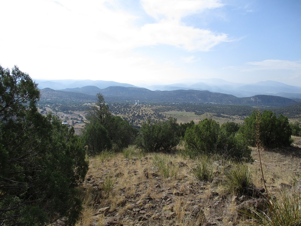
 Peak 6400 near Reserve
|
Peak 6400 • Aspen Mountain • Peak 8590 I had been in Albuquerque over the weekend, planning to leave early monday (today) for the drive back to Arizona. I did not sleep well and had an upset stomach almost the whole night. I awoke at 2 a.m. thinking it was almost morning, and couldn't get back to sleep. No reason to stick around. I got my things packed and left the hotel about 2:30. At least there'd be little traffic. I followed Interstate-25 south for an hour to Socorro, where I stopped for gas, then followed US-60 west for another hour or so toward Datil, then state route NM-12 southwest into the hills and mountains of Catron County. Only now was the eastern sky starting to alight, just barely enough to allow me to see the countryside. I made a detour to hike Mangas Mountain. Including drive times, that journey took just two hours. By the time I was back on NM-12, it was about 7:30 a.m.. I proceeded toward Reserve, the county seat of Catron County. It is the county seat and the county's most populous town, at about 280 people. I've been here once before, in 2006. On the agenda now were three very simple peaks west of Reserve, in the San Francisco Mountains. I went for laziness on these three peaks: all three have roads that get very near the summits, and two have tracks to the actual summits that I could walk. I would be doing far more driving than actual hiking. One reason was the weather: while cool and generally clear now, the pattern the past few days had been heavy cloud build-up by 11 a.m. and storms with lightning by mid-afternoon.
Date: July 31, 2023
• Elevation: 6,400 feet
• Prominence: 380 feet
• Distance: 1 mile
• Time: 30 minutes
• Gain: 640 feet
• Conditions: Warm and sunny
New Mexico
•
PB
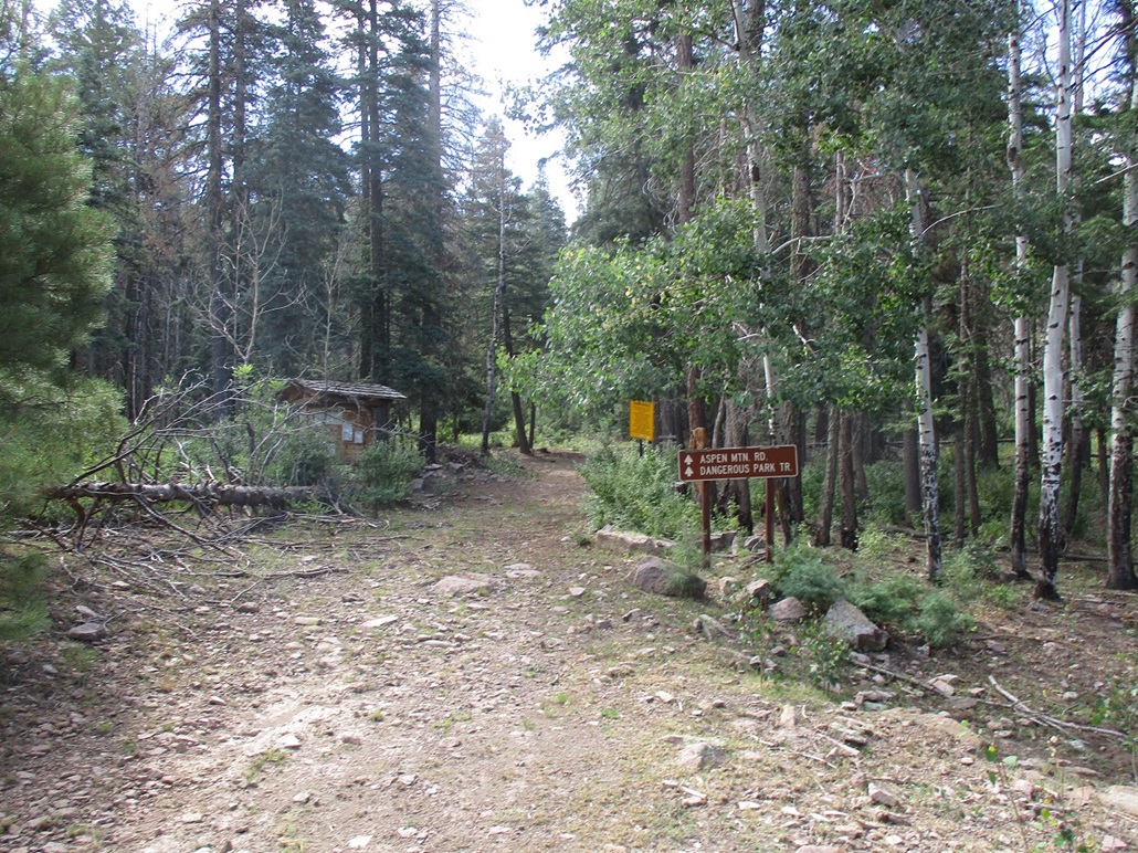
I came into Reserve from the north via NM-12, then passed through downtown Reserve, making a right, still on NM-12, and just as fast, was out of Reserve. My first peak rises about two miles west, a long ridge that has been cut by a canyon called Starkweather Canyon, where the road passes through. On the west side of the peak, I eased onto Hudson Ranch Road, going north, and parked in a pullout less than a quarter-mile from the main highway.
From here, a steep track heads uphill to the summit, about a half-mile away and over 600 feet higher. So I got busy walking. It was rubbly and steep but easy. Although just a little after 8 a.m., the warmth and humidity was noticeable. I moved slowly and was on top the hill after about 20 minutes. The track ends at a loop, while the highpoint was another few dozen feet through the piñon and grass.
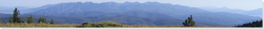
From the top, I had a fine view of Reserve below and the mountains beyond. The sun was intense that way so my image came out with heavy glare. I found a register in a cairn underneath a piñon, the first to sign in since 2019. But I think this was because it was well hidden. List of John shows more summitters, and I suspect locals come here now and then. I found a few water bottles laying about.
I did not stay long. Back on the track, I made excellent time going down, and was back to my car in about 10 minutes. I drove out and stopped for a photo, then continued west on NM-12 to where it meets US-180 about five miles later. Ahead of me was a wall of peaks, among them my next objective, Aspen Mountain, although from where I was, I could not tell which peak that was.
Elevation: 8,960 feet
• Prominence: 1,600 feet
• Distance: 0.7 mile
• Time: 30 minutes
• Gain: 240 feet
• Conditions: Sunny and breezy
PB
I drove northbound on US-180 for about ten miles. I did not keep close track. The highway makes a long ascent up to a pass in the wall of peak. I knew that here, two forest roads branch off, one southwest toward Aspen Mountain, and one northeast toward Peak 8590. I went left, with Aspen Mountain my goal.
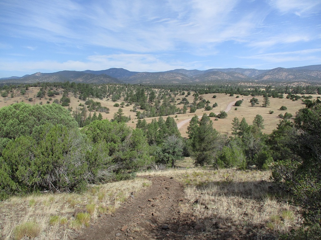
I got onto Gila Forest Road 209, signed for Saddle Mountain Lookout. Aspen Mountain lies about halfway toward Saddle Mountain. FR-209 is a good road, steep at first as it hugs the slopes. It was in this first mile that the road was "worst", but that was just a few ruts and exposed rocks. Otherwise, it was an excellent road. Once I had gained about 500 feet, the road leveled then bent left (south), now on the highlands and not so exposed to the mountainsides. And it improved a lot, being smooth pretty much the entire way.
(Any vehicle with reasonable clearance, reasonable tires and a reasonably strong engine would handle this road in dry conditions. Really small passenger vehicles might have trouble with the ruts, occasional rock, or the grades.)
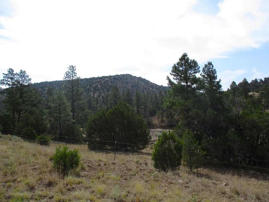
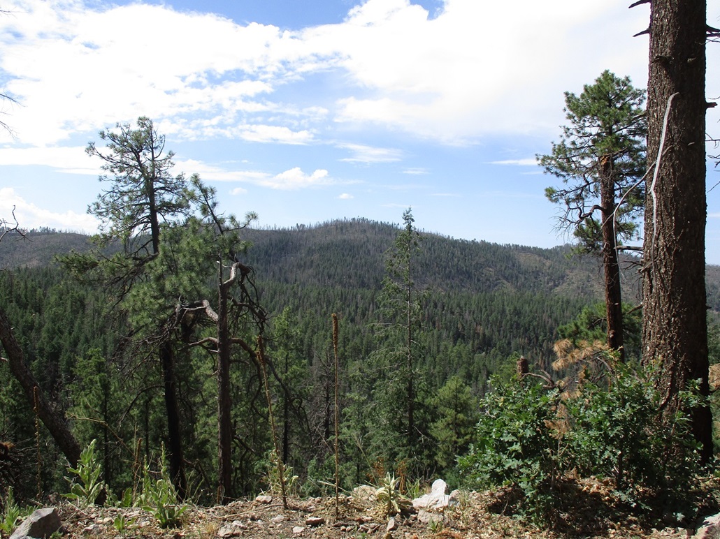
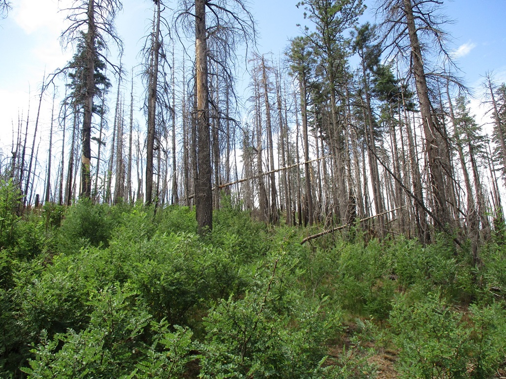
I drove until I came to a trailhead for the Aspen Mountain Trail, 5.1 miles from the highway going by my odometer. I was surprised to see another vehicle parked there. Aspen Mountain rises immediately above, a quarter mile away. The forest is thick here and the peak was burned in the past few years, many of the dead trees still standing.
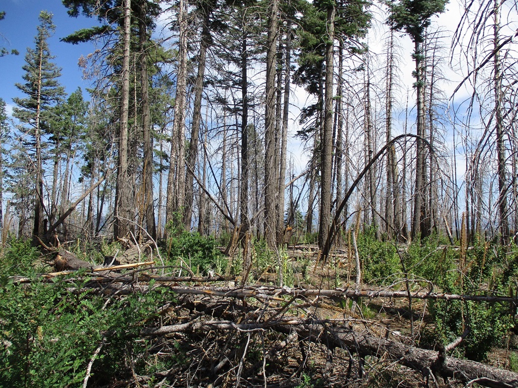
I started walking along the trail, which bypasses the summit. When I got a few hundred feet in, I left the trail, now on a slope that looked gentle. The top was not far ahead. In between was a mix of leafy brush, downed logs, open lanes, and stalky succulents that grow about four feet high.
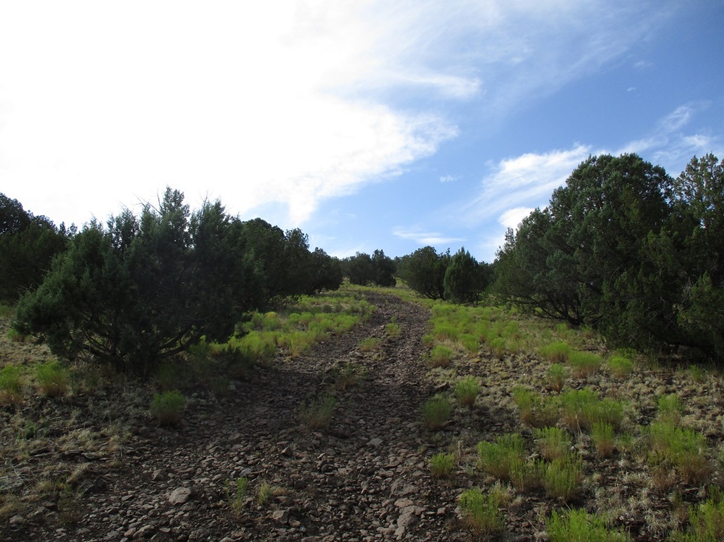
More toward the very top, the brush thickens, but not so bad so as to be impenetrable. I just had to wander more to find ways through it. The top is hard to discern exactly, so I walked around it and past it, narrowing it down as I want along. I was able to get to what I felt was the highpoint, amid the logs and brush. It wasn't much to look at.
I followed my route out "exactly", following openings as I found them, and was back to the trail, then to my car, just a half-hour after starting.
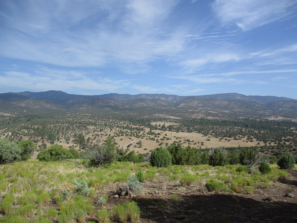
This humble mountaintop happens to be the highest point of the San Francisco Mountains with over 1,600 feet of prominence. You'd never know that just by looking at it. I was happy to tag it. The drive out went well, and the whole side trip off US-180 took a little over an hour. The drive was much more interesting than the hike. It was nearly 10 a.m. now, warming, some clouds appearing, noticeably humid.
Elevation: 8,590 feet
• Prominence: 550 feet
• Distance: 0.4 mile
• Time: 15 minutes
• Gain: 120 feet
• Conditions: Cloudin' up
PB
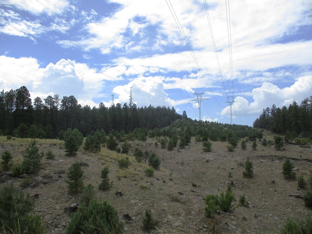
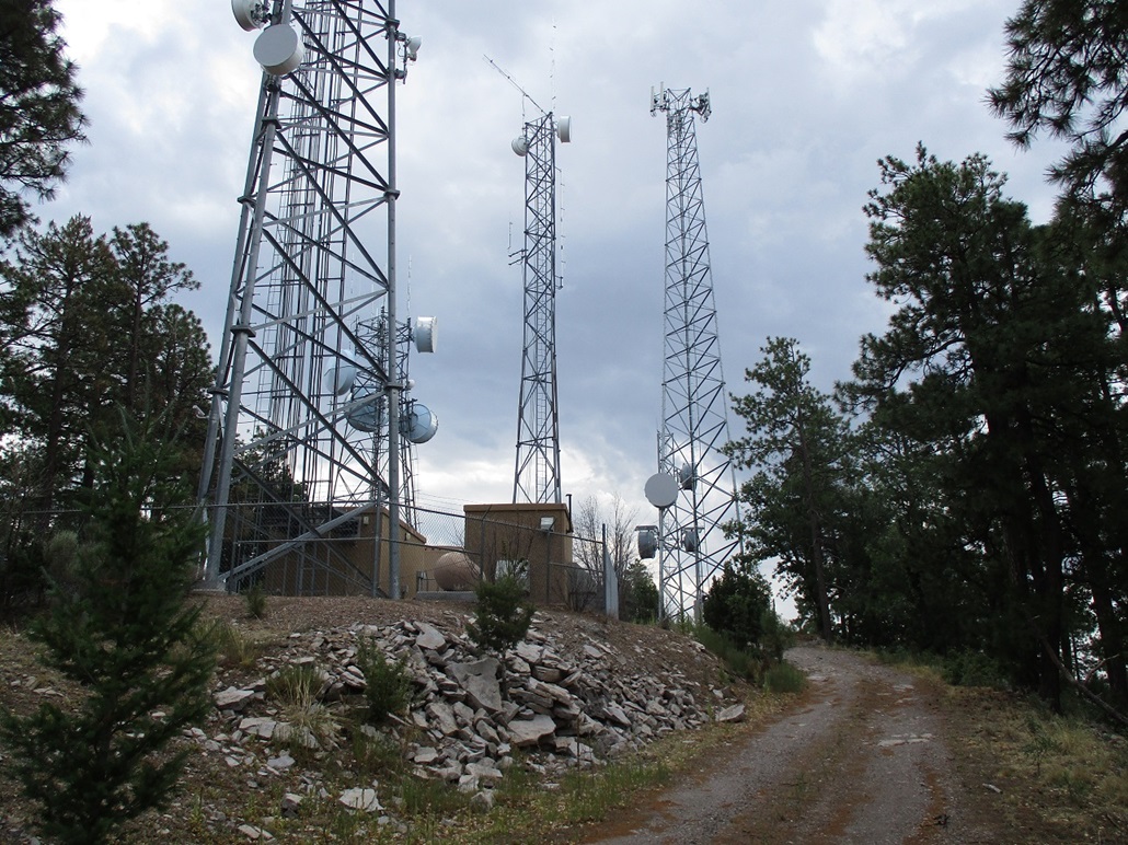
Back on the highway, I followed it for just a few yards to catch FR-35, which heads northeast toward Peak 8590, labeled "San Francisco Electronic Site" on the map. It hosts the usual clump of communication towers, and a major set of power lines run through a clearing abutting the summit.
FR-35 is an excellent road, covered over in gravel, much better than FR-209, which itself was a fine road. I followed FR-35 for 4.7 miles to a spur road that goes to the top. The aforementioned powerline clearing comes about a half-mile prior, my signal the summit is very near.
I drove this spur about a half mile to a gate, and parked beside it. The hike was just a fast walk up the gated road, and I was on top in mere minutes. I was moving fast because the clouds were starting to amass, and I heard a rumble as I neared the top. These monsoon clouds can build in a matter of minutes. The summit wasn't interesting, but it counts. For the return, I just bailed directly through the trees back to the road and my car. The hike took just 15 minutes, and the entire journey from the highway and back took about 45 minutes. It was close to 11 a.m. now.
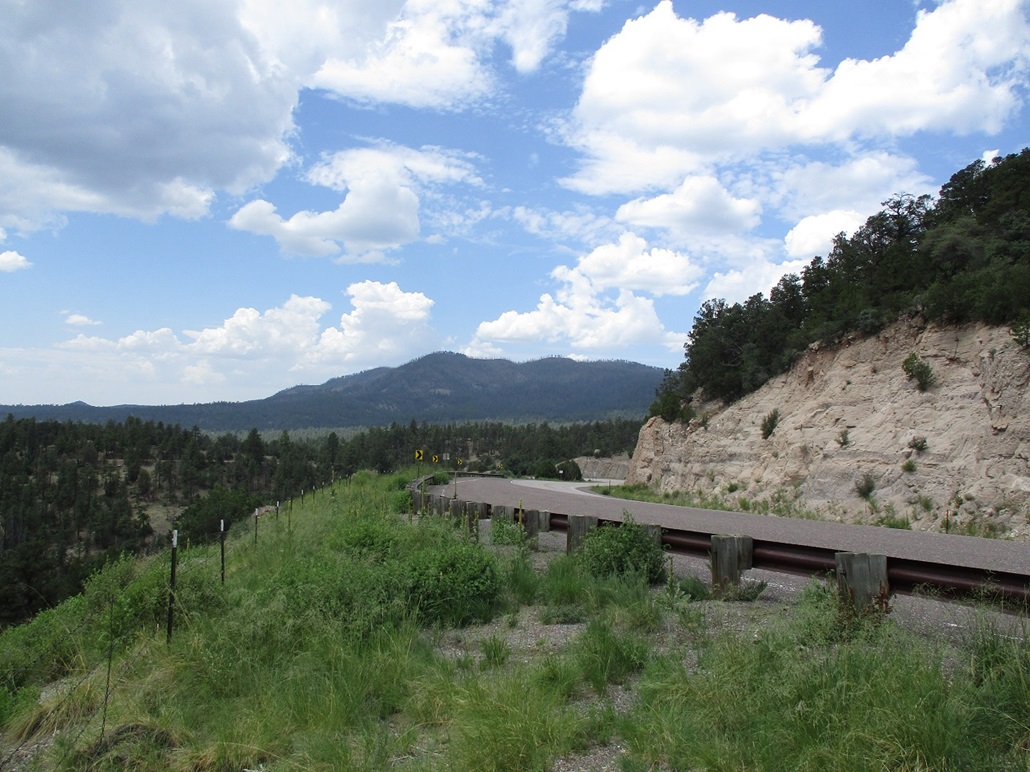
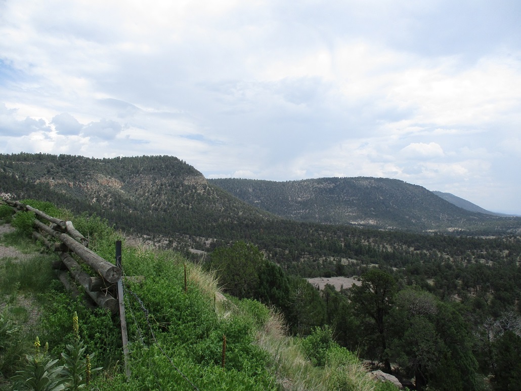
Back on US-180, I drove south a little bit to a scenic pullout where I could see both peaks from a distance. I walked the area and took a couple images. Now what to do. It was still early and I had no plan other than to stay somewhere in the Springerville area. I drove through Luna into Alpine, Arizona, and stopped for about an hour at a gas station to read my maps and decide what to do. By now, the sky was full of clouds and rain fell for a few minutes at a time.
I drove to Peak 8992 which lies west of and below Escudilla Mountain. I parked below it and studied it, thinking I could hustle up it and back down in probably twenty minutes. I even got ready to actually go for it and boom, a lightning strike nearby followed by a loud crack. Okay, I guess I'm not going to go for it.
I drove into Springerville and then looked at Peak 7993, which I had looked at a few days ago. It was warmer below, but only about 80°. The sky was cloudy but not ominous, although in the distance there appeared to be a heavy locallized rain squall. As I sat in my car, I saw, then heard, another lightning strike. Okay, 0 for 2 now. It was about 2 p.m., so I chose to lay low and find a hotel room to wash up and relax in. I'd try Peak 7993 the next morning.
|


|