The Mountains of California
www.surgent.net |
| Shandin Hills |
• Highpoint: Shandin Hills • San Bernardino City & County |
|
Date: December 31, 2019
• Elevation: 1,893 feet
• Prominence: 431 feet
• Distance: 1.5 miles
• Time: 40 minutes
• Gain: 620 feet
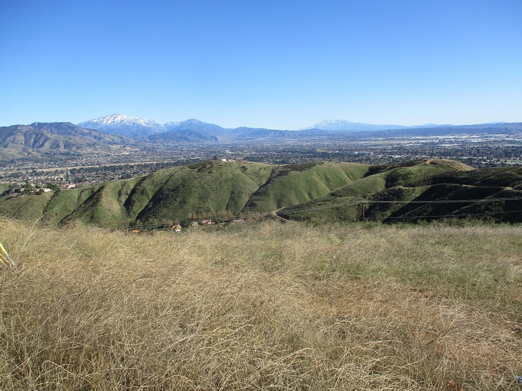
• Conditions: Spectacular blue skies and snowy peaks
California
•
Main
•
PB
•
LoJ
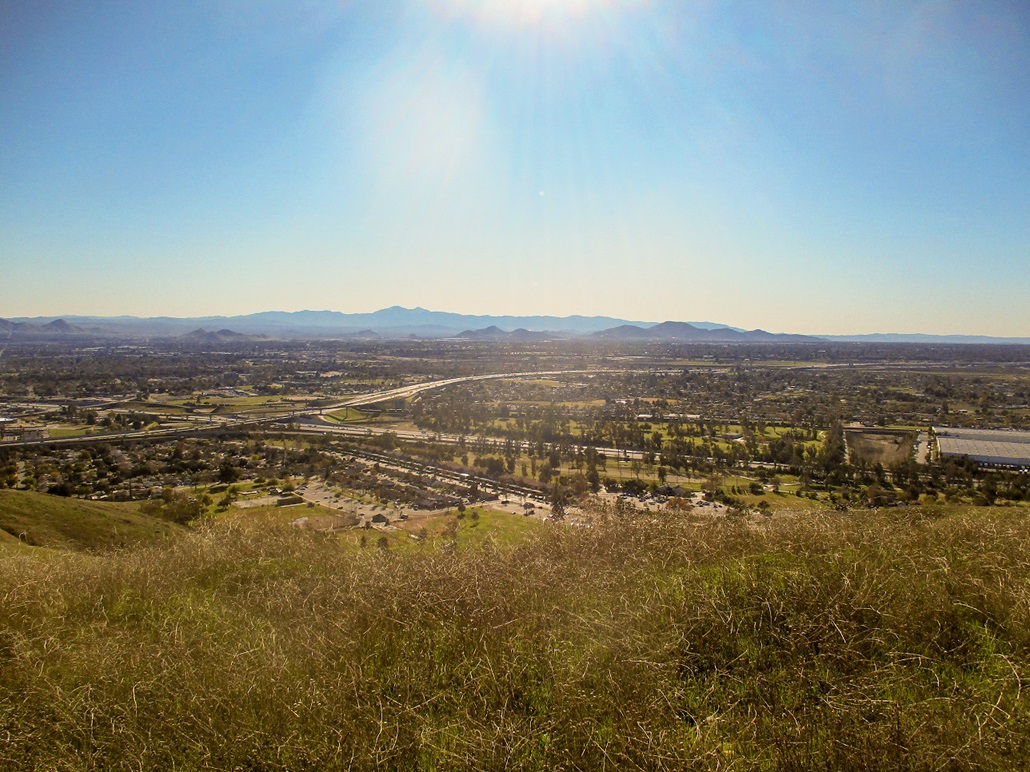
The Shandin Hills lie in the north part of San Bernardino, near the junction of the CA-210 and Interstate-215 freeways, and south of the Cal State University campus. I went to school in Riverside back in the 1980s and early-1990s, and was in San Bernardino all the time, but I had never heard of these hills until a couple days ago, looking at online maps.
I was driving to Southern California to visit a pal for the new years, and wanted to hike a couple peaks along the way. After a 300-mile drive from Scottsdale early this morning, I hiked Zanja Peak in Yucaipa, which is just a dozen miles to the east. I included a short hike in these here Shandin Hills as an add-on, partly because they were close to the freeway and could be reached quickly. I honestly had no idea what to expect.
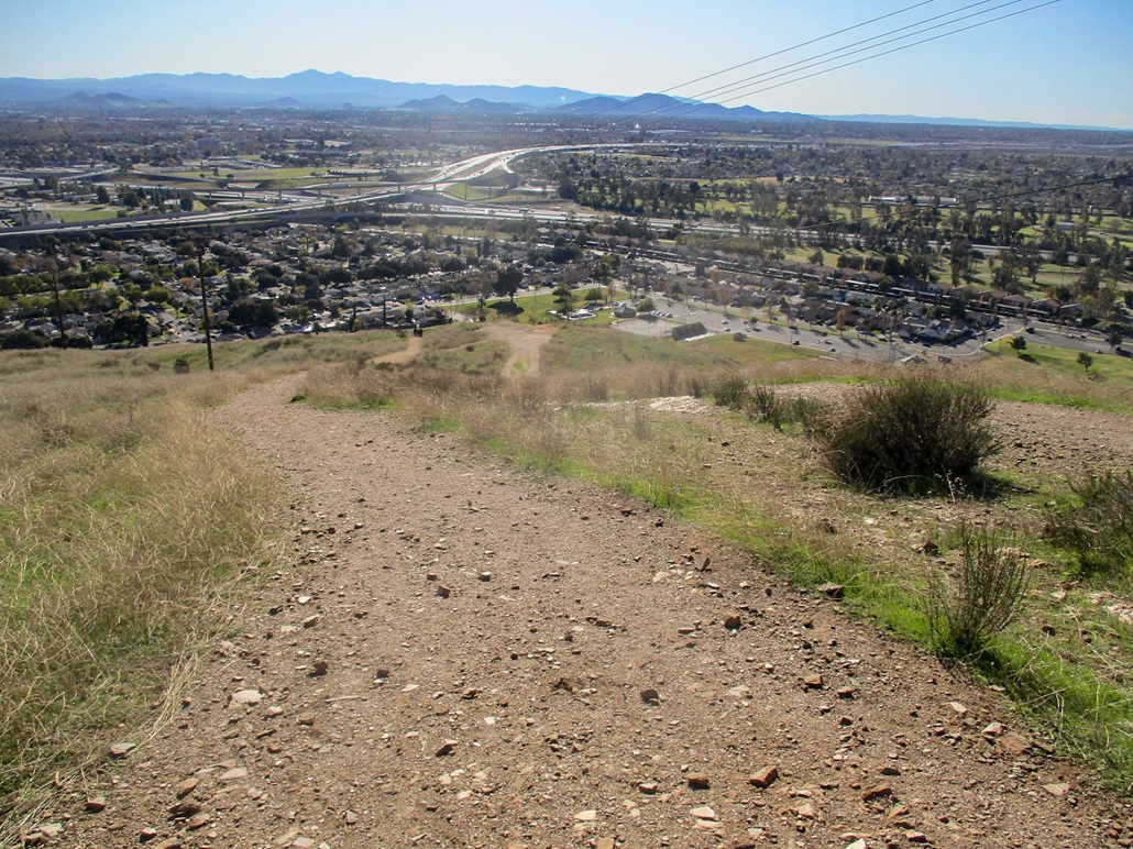
Once in San Berdoo, I exited the 210 freeway at H Street, then followed local streets (30th, Muscupiabe and Marshall) to the Blair Park, which sits south and west of the hills. I was encouraged by the generally positive look of the area: nice-looking mid-century homes, big mature trees, cars of recent vintage in the driveways. It was actually pretty. I did not know there were nice parts of San Bernardino.
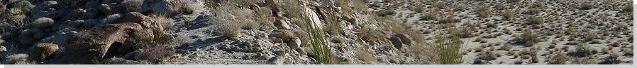
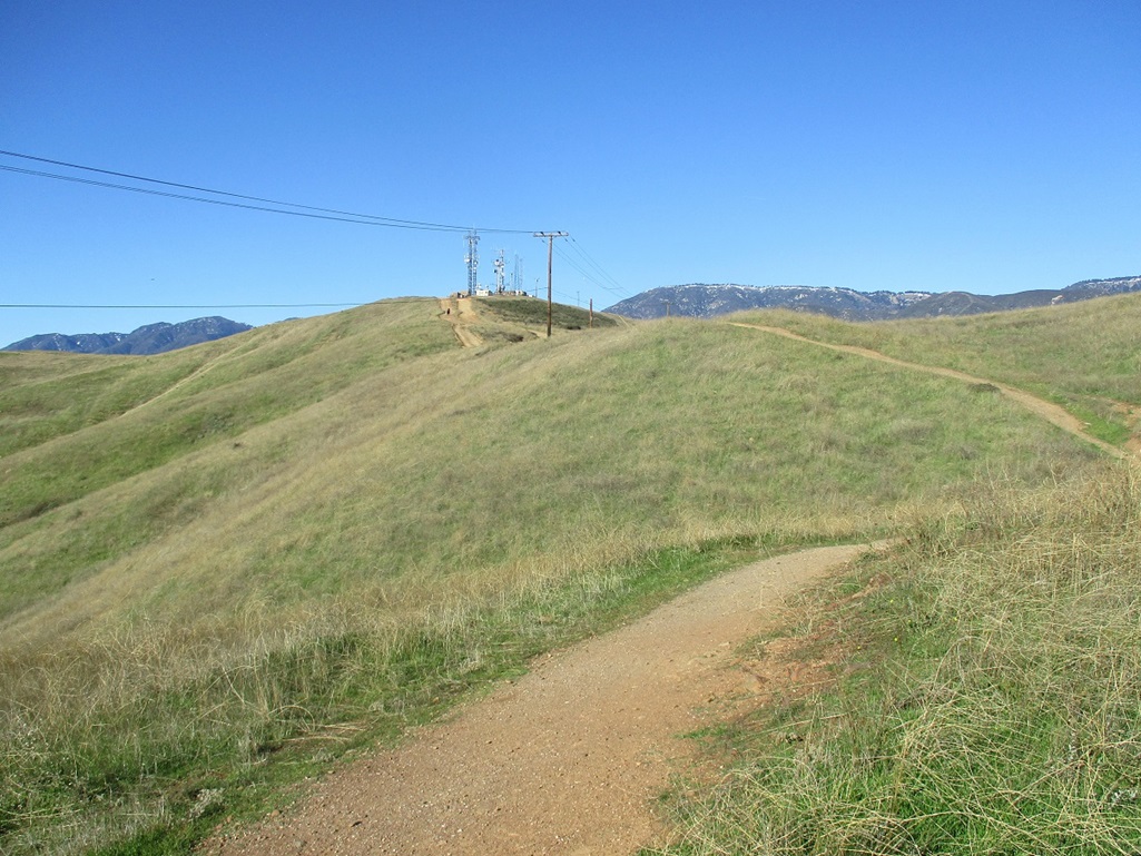
I pulled into a small street just east of the park, a cul-de-sac that abuts the trailhead. There were about six vehicles parked here. There were joggers, other hikers, various teenagers, and families with kids playing on the nearby playground equipment. The hills are covered in lengthy grass and few trees, and the communication towers atop the highpoint were visible from the trailhead. This would not be a long hike.
I locked up the car and went light, just a bottle of water, my camera and my hiking poles. The trailhead features a few calisthenics apparati, like pull-up bars, and other things to work out the entire body. There were spots of gang grafitti here and there, this being San Bernardino after all, but it was tasteful and discreet, small tags on the corners of things, for example, but nothing overly large.
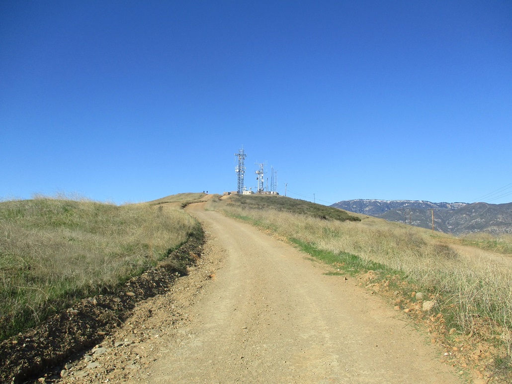
The trail appears to be an old road, but it is very steep and stays steep for the first half of the hike. I gained about 500 feet in slightly over a quarter-mile, which works out to about a 35-40% grade. But it went quick and I was soon on the top ridge of the hills. Here, I angled left and hiked to the communication towers, arriving about 20 minutes after starting.
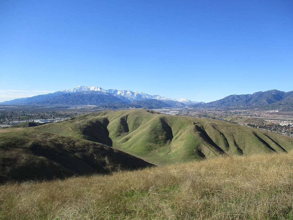
The summit and towers were nothing special, but the views were outstanding. The air was crystal clear with very low humidity, no clouds, and no smog or haze. The surrounding big peaks were snowbound from recent storms. I had the best view I've ever had of Mount San Antonio (Mount Baldy). See the image in the left sidebar. The weather was cool with a slight breeze. I did not stop, but just slowly sauntered around the tower complex before heading down.
I lived in the suburbs below Mount Baldy as a kid and young adult (1970s-1990s). We were mere miles from the lower foothills of the Sierra Madre, yet most days, the smoggy-hazy marine layer would be so thick (and light tan) that it would blot out the range completely. You could not see squat, not even a faint outline of the peaks. In college, I had a friend visit me, her first time in California. I pointed in the direction of Mount Baldy on a day when it was completely shrouded by the muck, and told her there was a 10,000-foot mountain there. She simply did not believe me. Now, maybe she will.
The hike down went quick, and I moved slow on the steep downhill parts. There were a lot of people on the trail. A couple younger dads had their small kids (ages about 4 or 5), and the little guys just motored up the slope like it was nothing. Older kids (teens) were doing wind-sprints up the slopes for training, it looked like. The hike covered just a mile and a half but you get a great calf and glute workout in the process.
The whole round trip took just 40 minutes, and I enjoyed it. I had overlooked these hills entirely during my time here, and was pleased with the short hike and the good views.
From here, I drove another 20 miles west to my chum's pad in La Verne, where we celebrated the new years with a good steak dinner and childish potty humor Robot Chicken episodes (such as this legendary one). A good way to end the 2010s and start off the '20s.
|

|