The Mountains of California
• www.surgent.net
|
| Reyes Peak |
• Highpoint: Pine Mountain • Ventura County |
|
Date: May 12, 2007
• Elevation: 7,514 feet
• Prominence: 2,074 feet
• Distance: 2 miles
• Time: 1.5 hours
• Gain: 600 feet
• Conditions: Pleasant
California
•
Main
•
PB
I was on my second day of a swing through the hinterlands of Southern California hiking peaks. Yesterday, I hiked Mount Baden Powell near Wrightwood, and earlier today I had hiked up Burnt Peak, then drove west toward Frazier Peak, near Gorman and Interstate-5. However, I was battling a cold that developed the day before I started my trip. I had a sore throat, a raspy cough, and felt lethargic. However, the peaks on my agenda were not difficult or long hikes, so I was able to hike them in my diminished condition.
My plan at the moment was to hike Frazier Mountain, but the roads were still closed, a result of last year's huge Day Fire. My back-up plan, Alamo Mountain, was also closed for the same reason. So I continued southbound along Lockwood Valley Road toward Reyes Peak, about 30 miles away.
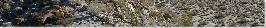
This part of Ventura County is high semi-desert and open rangeland, with few residents, but it is scenic. I was surprised how stark and desert-like the terrain was, so close to the ocean. Segments of Lockwood Valley Road went through interesting sections of cliffs and badlands, with rock spires and other bizarre formations. Eventually, Lockwood Valley Road connected to state highway CA-33, which continued south and into the hills toward Pine Mountain Summit, the highpoint of the highway at just over 4,000 feet elevation (between mileposts 42 and 43). From here I went left onto Los Padres Forest Road 6-N-06.
The road is a narrow mountain road, barely a car-width wide, but covered in a layer of asphalt. The asphalt hardly helps, and I drove the road slowly and carefully as if it were dirt hardpack. I think it's asphalted due to the road's regular use, as the popular Reyes Campgrounds are up ahead. The drive didn't take long, perhaps 15 minutes, and about six miles from the highway, I had rolled into the first of the two main camping areas, called Pine Mountain Campground. I thought about parking here and hiking to the peak from here, but I didn't care for the area. The camp spaces aren't well-defined and everyone is piled on top of everyone else.
I drove another mile on the road past the second campground, the Reyes Peak Campground, which is more a series of pullouts along the road than a formal campground. These were nicer spots, but there were few of them, so they fill up fast. I stopped at the end of the road in a day-use area, room for about 5 vehicles. The day was warm and clear. I got my boots on, a simple pack, locked up the truck, and started my hike at 2 p.m.
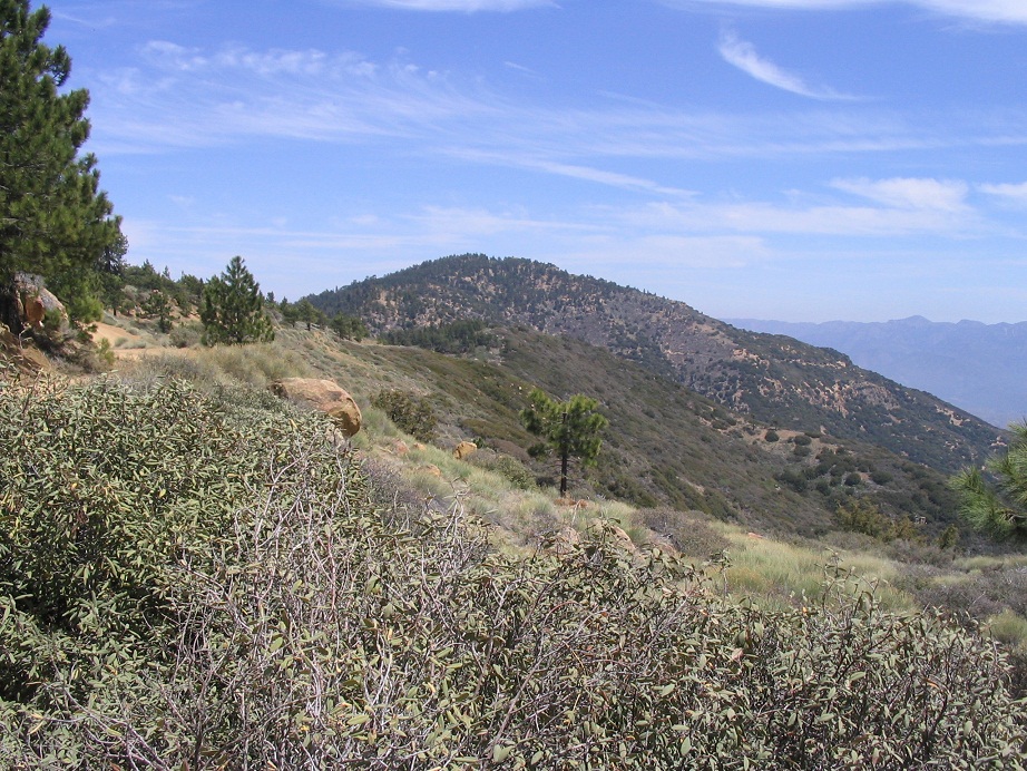
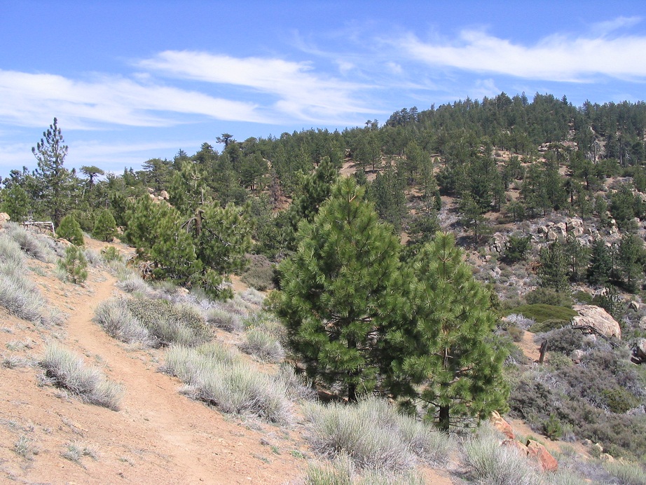
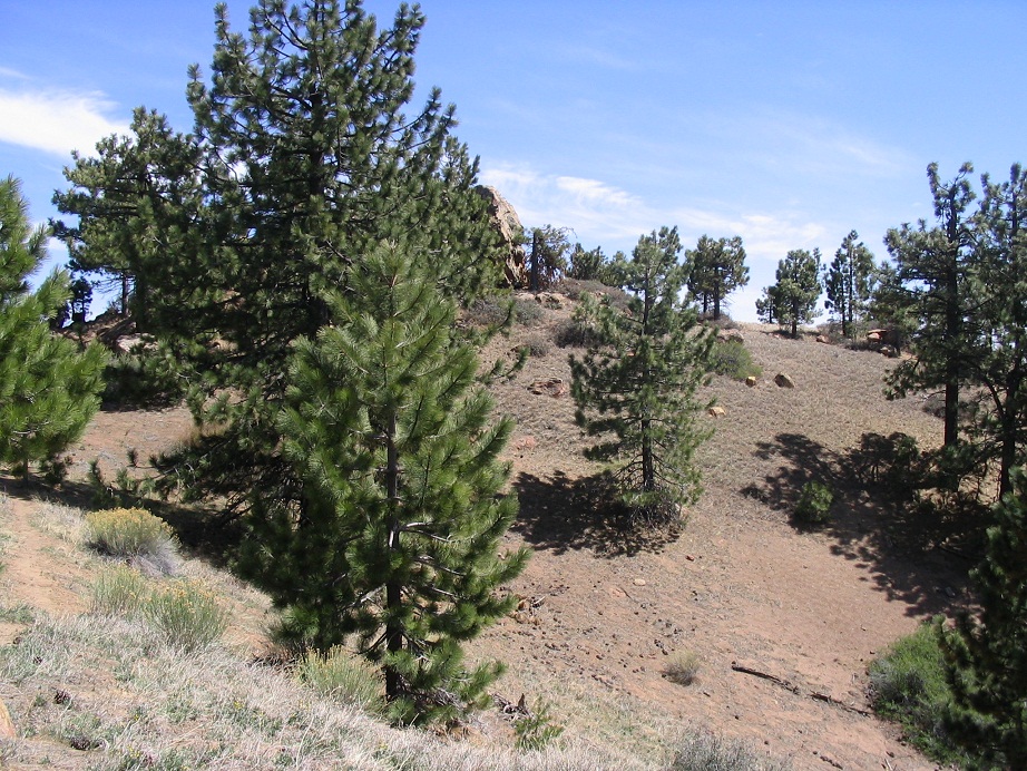
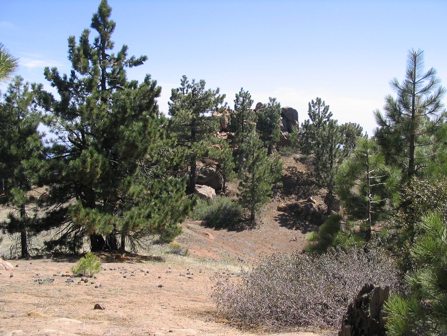
The first few hundred yards of the trail is the road itself. Within minutes, I was at a trail junction. Reyes Peak trail went left, while another trail went right: the old road, actually. Neither trail was what I wanted. Ironically enough, the Reyes Peak trail does not go to the Reyes Peak summit. It stays lower on the ridge and heads east to Haddock Peak, and beyond. Instead, I found a faint path heading directly up the open slopes between the two trails. This is what I wanted, and as I hiked higher, the path became more evident.
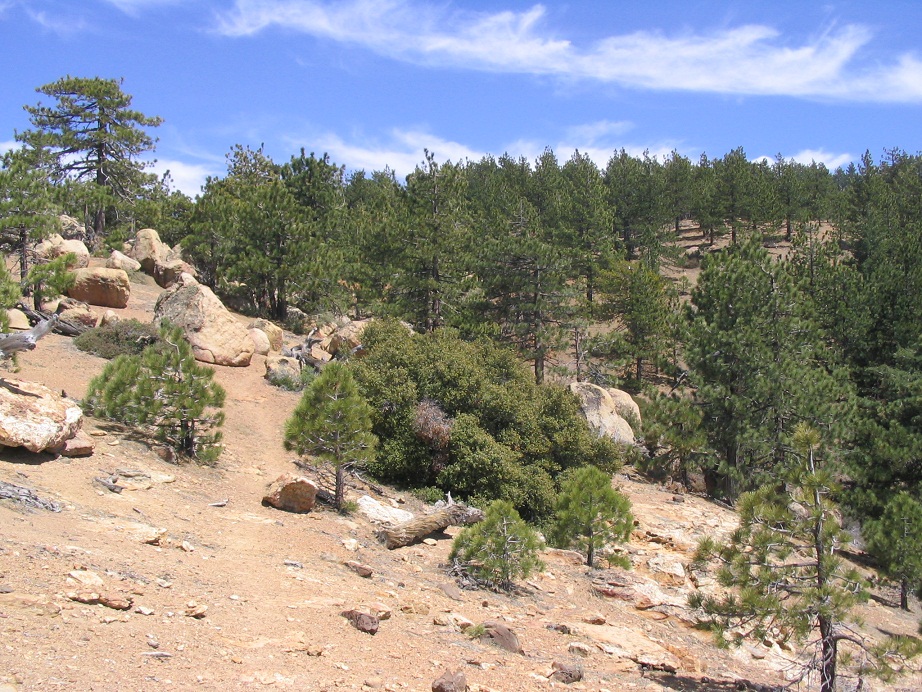
The trail isn't long, and in time it surmounted a small rise, at which time I thought the summit was in view. The trail then flattened and passed through open terrain with low scrub and rock outcrops. Shortly, the trail started up towards what I thought was the top, only to see yet a higher area ahead of me. So I marched on, and in this case this was the correct summit. None of it was too far, the whole trip taking about 40 minutes.
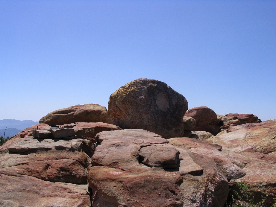
The summit is a pile of rocks with the highest having an interesting (natural?) "O" inscription on it. I signed in the register and enjoyed the views. South were more peaks, including the Sespe Condor Sanctuary to the east and south. To the north, the semi-arid Lockwood and Cuyama Valleys opened up to distant peaks. There is a pile of rocks about 200 feet north of the summit that looked nearly as high, so I walked over to check them out but feel afterwards the south rocks (where I had been) were highest.
Afterwards, I hiked back to my truck, the round trip journey taking 90 minutes. I drove slowly, seeing if any camping spaces had opened up, but none had, so I drove out 6-N-06 to the highway, and proceeded south. There were camping areas nearby, and I found one spot open at the Rose Valley campground, next to a couple who had obviously been at their spot a few days. The man sat cross-legged on a towel, smoking a joint, listening to his tunes. He looked over at me and croaked out "welcome, dude", barely able to keep his balance, even while sitting. He seemed like an okay character, but what I really wanted is a place to hide and sleep. This place was too open and too crowded.
So I drove down to the Wheeler Gorge Campground, which was much larger and more forested, with spaces between the spots for privacy. The drive down CA-33 into Ojai was scenic, as the coastal mountains seem to form a sheer wall of cliffs. I was surprised how pretty the drive and the area was. Why hadn't anyone told me about this when I lived in SoCal?
The fire closures had put me ahead of my schedule, so the following day (Sunday) I poked around Ventura, Oxnard and the beaches. The day off from hiking would help my cold, I hoped. I camped that night at Leo Carrillo State Beach then hiked Sandstone Peak the following day.
|

|