The Mountains of California
• www.surgent.net
|
| Burnt Peak |
• Los Angeles County • San Andreas Rift Zone • Highpoint: Sawmill Mountain |
|
Date: May 12, 2007
• Elevation: 5,793 feet
• Prominence: 2,453 feet
• Distance: 6 miles
• Time: 2 hours and 30 minutes
• Gain: 1,000 feet
• Conditions: Pleasant
California
•
Main
•
PB
Burnt Peak is a non-descript summit, well-hidden in the Transverse Ranges north of Los Angeles and south of Gorman. It is the highest summit for one "section" of these ranges, but difficult to see from just about anywhere given the multitude of nearby peaks that area nearly as high. I was interested in it for its prominence status, nothing more.
I had hiked Mount Baden-Powell yesterday, but had developed a raspy cough and a possible cold. Coming off Baden-Powell, I descended into Palmdale and although it was still early in the day, I decided to get a hotel room and sleep off whatever was ailing me. I slept 14 hours. When I awoke this morning, I still felt like a truck had hit me, but I felt a little better than the day before. Today's peaks seemed easy and accommodating given my less-than-ideal condition. However, I couldn't talk above a throaty rasp.
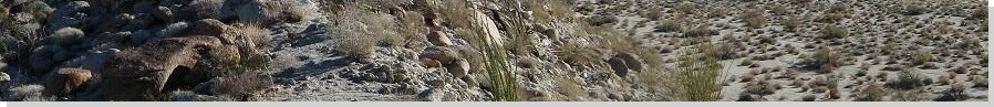
From Palmdale, I drove west along County Route N-2 through the little towns of Elizabeth Lake and Leona Valley, entering into a canyon. This canyon is actually the San Andreas Fault: on my right, the North American Plate, on my left, the Pacific Plate. Should the Big One strike here and now, things could get interesting. One thing was for sure: I wouldn't scream.
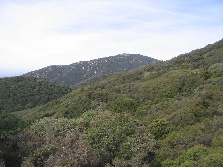
I drove to "Bushnell Summit", a highpoint in the road, where I found Forest Road 7-N-23 on my left (south). I drove this fine road about three miles and parked in a clearing near a gated side road that leads south to Burnt Peak, visible about two air-miles with its various towers sitting on top of it. It was about 9 a.m. when I started in on my hike, in pleasant conditions. The hiking route would be this gated road.
The first mile is level, then starts a soft descent as it curves around a small hill. After the hill, it drops suddenly to a low-point, about a 200-foot drop. I was about half-way and feeling okay. Burnt Peak stood directly ahead of me, and its neighbor, Little Burnt Peak, to my right. I continued my walk, the road cutting a pass between the two peaks. Now on the "back side" of Burnt Peak, the road makes a couple steep, hard switchbacks and quickly, ends near the summit. It had taken me an hour to make the one way hike, covering just under three miles.
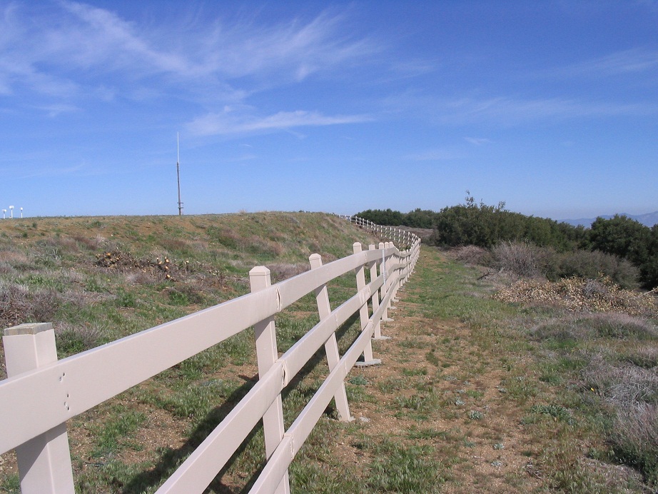
The top is flat, and features a "bowling pin" antenna, part of the big FAA network of antenna to help track all the planes in the sky. The usual signs were there, warning about tampering with the devices, but not necessarily barring entry. Nevertheless, I decided to keep to the road and also walk the perimeter of the fencing surrounding the antenna items.
The antenna complex covers about an acre. After one circuit around the fence, I scooted under it and quickly scampered up 10 feet to tag the "top". Given its flatness, any point up here counted as the top, as far as I was concerned. I had no desire to inspect the antenna. In moments I was back down and on the "safe" side of the fence.
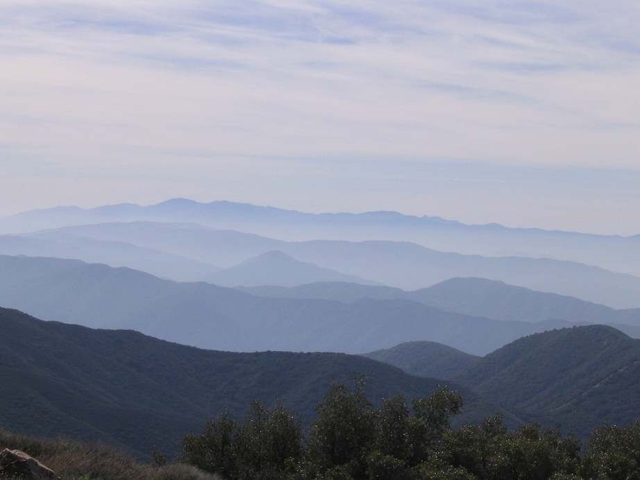
The views south were the nicest, with range after range trending off to the horizons, each one a paler blue than the one before it. There were workers on a nearby ridgepoint, but I didn't stick around and I doubt they saw me. I walked back to my truck, and had been gone for 2.5 hours. Overall, it was a nice hike but nothing spectacular. Next on my agenda was Frazier Peak, but I would discover that closed due to a recent fire. So I continued on to Reyes Peak.
A nearby summit called Liebre Peak may be as high as Burnt. Some pals of mine did their own surveying and deemed Burnt to be higher, but should it come to pass that Liebre is higher, well, I guess I'll have to come back again.
|
|