The Mountains of Arizona
• www.surgent.net
|
| Woodchute Mountain |
• Highpoint: Black Hills • Prescott National Forest • Yavapai County |
|
Date: April 23, 2005
• Elevation: 7,860 feet
• Prominence: 2,930 feet
• Distance: 6.6 miles
• Time: 3 hours
• Gain: 1,120 feet (gross)
• Conditions: Pleasant, a little breezy
Arizona
•
Main
•
AZ P1K
•
PB
•
USGS BM Datasheet
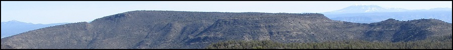
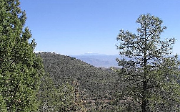
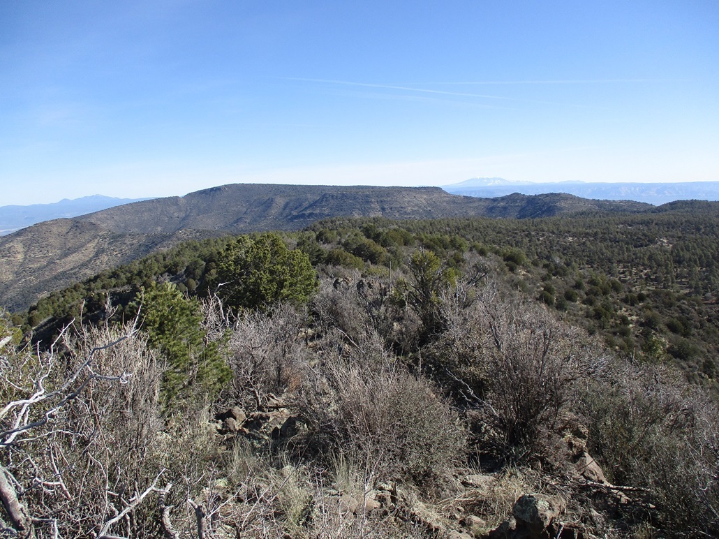
Woodchute Mountain and nearby Mingus Mountain form the highest points of the Black Hills which rise over the Verde Valley and the towns of Clarkdale, Cottonwood and Sedona. The old mining town of Jerome lies on the range's north slopes, and Mingus Mountain has all the campgrounds and recreational facilities. But its Woodchute Mountain that holds the highest point, although finding it among the trees on its flat summit isn't the easiest thing to do. There is a good trail that surmounts the summit "area", with fantastic views of Humphreys Peak and the Coconino Plateau.
My parents were in the Cottonwood-Sedona area celebrating their 40th wedding anniversary, so I decided to drive to the area and hike the peak, then visit my folks and have a lunch with them. I left home before 7 a.m. and drove 130 miles through Cottonwood and Jerome (following, in order, I-17, AZ-260 and US-89A) in a little over 2 hours. At the pass on 89A, I went north to the parking area near the Potato Patch campground, parked and started my hike.
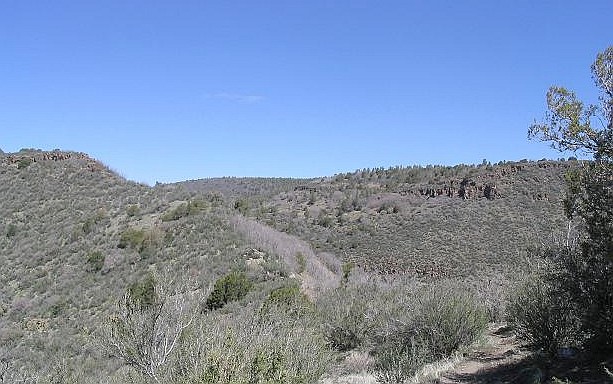
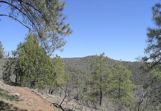
A half-mile later, I came to a second parking area where a few cars were parked. I was not aware vehicles were allowed past the first gate (it was unlocked), but no signs barred access, but it was silly for me to walk back out and drive back in, so I continued walking. The trail begins at the second parking area. From here, it's 2.5 miles one way to the top. The trail stays level and drops a little for the first 1.5 miles, with great views of Humphreys Peak along the way. The weather was pleasant, with occasional gusty breezes. The forest was a mix of ponderosa, juniper, grass, and scrubby brush.
The trail reaches a low spot at a saddle, then starts a mile-long ascent of 700 feet to the broad summit plateau. The gradient was easy but the trail was covered in fist-sized rounded rocks which caused me to turn my ankle about eighteen times. When I reached the top, I left the trail and started cross-country aiming west through the open forest and low grasses (and rocks) to the summit. The trail doesn't go to the very top, but instead continues north to lookouts and down the mountain on the north flank.
I was at the summit 10 minutes after leaving the trail. The top is indistinct, and I spent a few minutes walking the area to find the top rocks. I found a cairn and register at a point that to me was clearly not the highest point. The register had just five names in it going back five years, and none since September 2002. Even the register booklet said "the summit's around here somewhere". I gave the whole area a good walking, stepping on anything that looked like a highpoint.
After 15 minutes, I started the hike out. I found the trail and walked out in increasing cloudiness. I found my folks' hotel in Cottonwood and we had a lunch at a nearby Mexican restaurant. Well, my mom didn't, as she got a touch of food poisoning. But she's fine, I'm fine, it rained, my dad's fine and they're now working on their second 40 years together.
Woodchute Mountain has a minor claim to fame: it is in the movie National Lampoon's Vacation. When the family discovers Aunt Edna dead in the car, they pull off the highway, get out of the car and freak out momentarily. That stop is where Schnebly Road starts down the plateau into Sedona. The peak in the background is Woodchute.
|

|