
The Mountains of Arizona
• www.surgent.net
|
| Vulture Peak |
• Highpoint: Vulture Mountains • Maricopa County |
|
Date: January 5, 2003
• Elevation: 3,663 feet
• Prominence: 1,180 feet
• Distance: 5 miles
• Time: 3 hours
• Gain: 1,200 feet
• Conditions: January heat wave
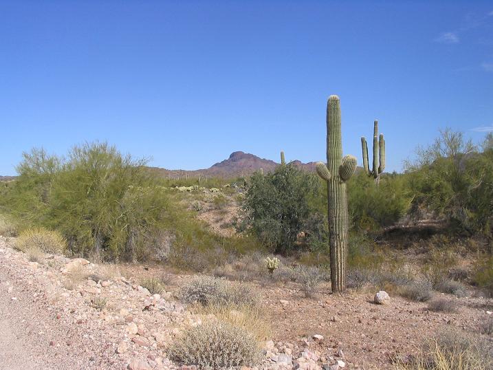
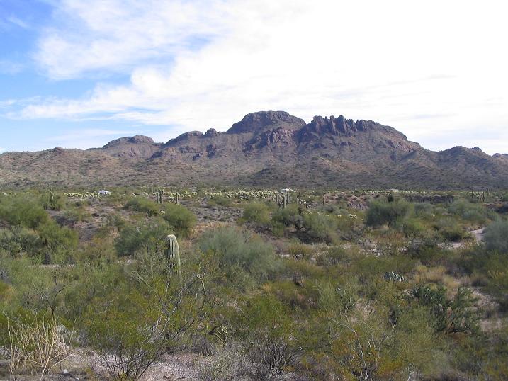
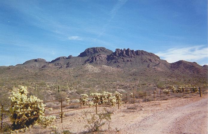
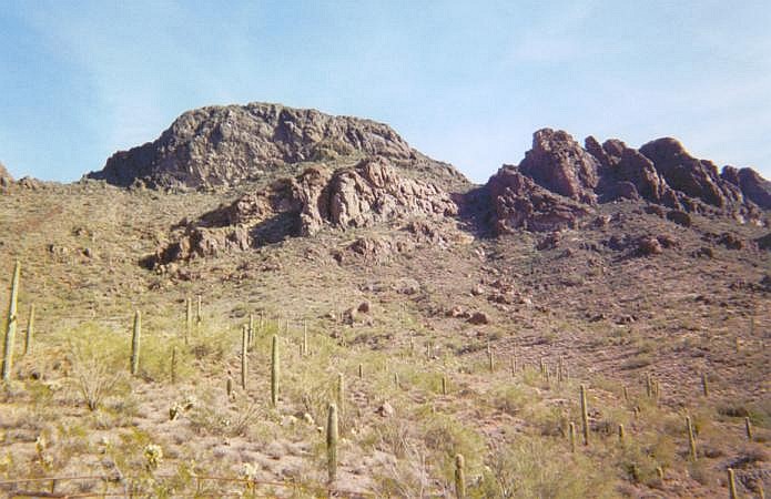
Vulture Peak is a landmark mountain about six miles south of Wickenburg. The peak has a distinct shape, a fin of rocks jutting above the brushy mountainside, and is visible from many miles. The weather for early January was warm, nearing 80 degrees.
We left home around 10 a.m. and made our way to Wickenburg via Interstate-10 and Loop-303, then onto US-60, nearly 70 miles total. We took US-60 west out of Wickenburg and turned left (south) onto Vulture Mine Road, then 6.5 miles later, turned onto the trailhead access road and parked. The area is popular with RVs and campers. The famous Vulture Mine is just a few miles south. The Vulture Mine was one of the most productive gold mines and many buildings still stand. We would tour it years later.
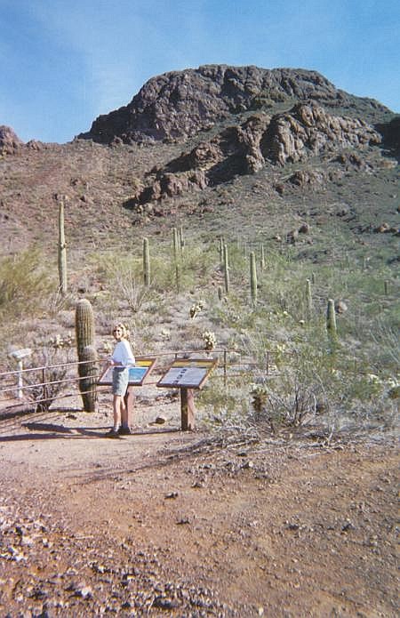
From the parking lot, there is a trail and a 4-wheel drive road that lead in toward the peak. We opted to hike the road and 1.6 miles later, came upon the higher trailhead accessible only by 4-wheel drive. Actually, the road is pretty good except for one steep and rutted section at the start, and some driving in a sandy wash bottom. At this second trailhead, there is a kiosk, where the "official" trail starts. It crosses desert flats but quickly starts up the steep hillside. Not more than a half-mile later and about 700 feet higher, the trail peters out at a saddle south of the summit.
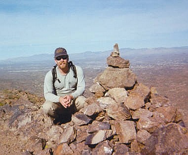
To gain the summit, we followed a scanter path, sometimes barely able to discern it. This gained another 100 vertical feet amid brushy slopes and rocky obstacles, nothing too severe. We came upon the first a small set of chutes. From below, the chutes looked a little intimidating, but every step of the way there were ample handholds and footholds. Many of the nooks and crannies were occupied by a pointy cactus or succulent. After a few minutes of this, we emerged up a ramp and onto the summit. The one-way hike had taken us a shade over 90 minutes.
The views are outstanding from this vantage point. The city of Wickenburg spread out beneath us, while Phoenix and its suburbs were visible way to the southeast. Many rugged and remote mountaintops surrounded us, Harquahala Mountain being the most visible due west. We spent a few minutes enjoying the scenery, then downclimbed the chutes back to the trail, and on out to my truck, a round trip of 3 hours.
For the journey home, I tried something new: I continued south along Vulture Mine Road another 15 miles to its intersection with Wickenburg Road (355th Avenue). This is a lonely 4-way intersection in the middle of nowhere. Left and south along Wickenburg/355th, we eventually came out onto Indian School Road in the town of Tonopah, then caught Interstate-10 at the 339th Avenue Exit. I use this now as a bypass, even though it's slightly longer. There is no traffic, which is great.
|

|