The Mountains of Arizona
www.surgent.net |
|
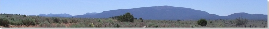
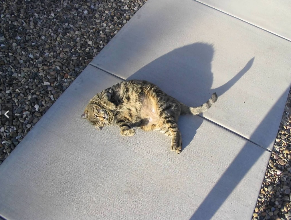
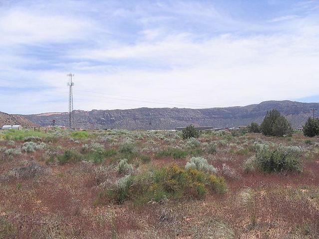
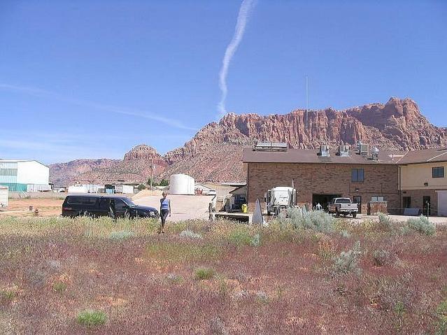
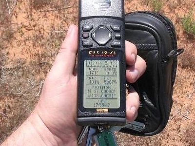
Mount Trumbull • N37-W113 Confluence • Toroweap Overlook Mount Trumbull is a remote peak on the Shivwits Plateau, within the Arizona Strip north of the Grand Canyon and about 60 miles from pavement. The peak is broad and uniform, formed by an old lava flow that laid down a basalt layer that would protect it from erosion. In a sense, the mountain is what remains after all the surrounding lands slowly eroded away. It has a shield shape, but may not be a shield volcano in the usual sense (i.e. multiple flows piling on top of one another like in Hawaii). Getting to this peak is half the fun. It lies on the Arizona Strip near the Tuweep section of the Grand Canyon. The closest paved highway is State Route AZ-289 between Fredonia and Colorado City. In dry weather, the dirt roads on the Strip are usually in pretty good shape, but it snows a lot up here in winter and road access can be shut for months at a time. We wanted to visit the Toroweap Overlook on the Grand Canyon's North Rim. We'd be passing by Mount Trumbull, so we allotted a half-day to hike this interesting peak. We stayed a night in Page, where the hotel owner's two big kitties would invite themselves into our room whenever they wanted to. We enjoyed their obnoxious furry company. Then we drove to Jacob Lake, up on the Kaibab Plateau, where we camped for two nights, planning to visit the buildings on the North Rim and maybe hike the trails. However, all of the side roads were shut, still under a lot of snow, even here in late May. I tried one, wanting to drive to the Kaibab Plateau highpoint. I got about 30 feet in and immediately backed off. The snow was crusty and sloppy, and the ground under it was muddy. There was no way I was getting anywhere on this road. We still had fun at the big lodge at the North Rim. We didn't do any big hikes, so we wandered around the lodge, and also drove other open roads to some overlooks. There was this guy from back east with a thick east-coast accent bothering a ranger about getting permission to drive one of the closed roads. He was famous (so he says) and has a big 4-wheel drive vehicle, but she held her ground. We couldn't seem to shake him. He'd turn up wherever we were, in the deli, at the outdoor seating, and so on. We didn't want to get into a conversation with him... Anyway, after packing up, we drove down the plateau into Fredonia, then to Colorado City. In Colorado City, I wanted to log an lat-long confluence, 37 North, 113 West, which happens to lie about fifty feet off the highway near the town. Then, our curiosity got the better of us and we drove into the city itself. The city is home to the Fundamentalist Latter Day Saints (FLDS), the Mormon off-shoot sect that still avows polygamy.
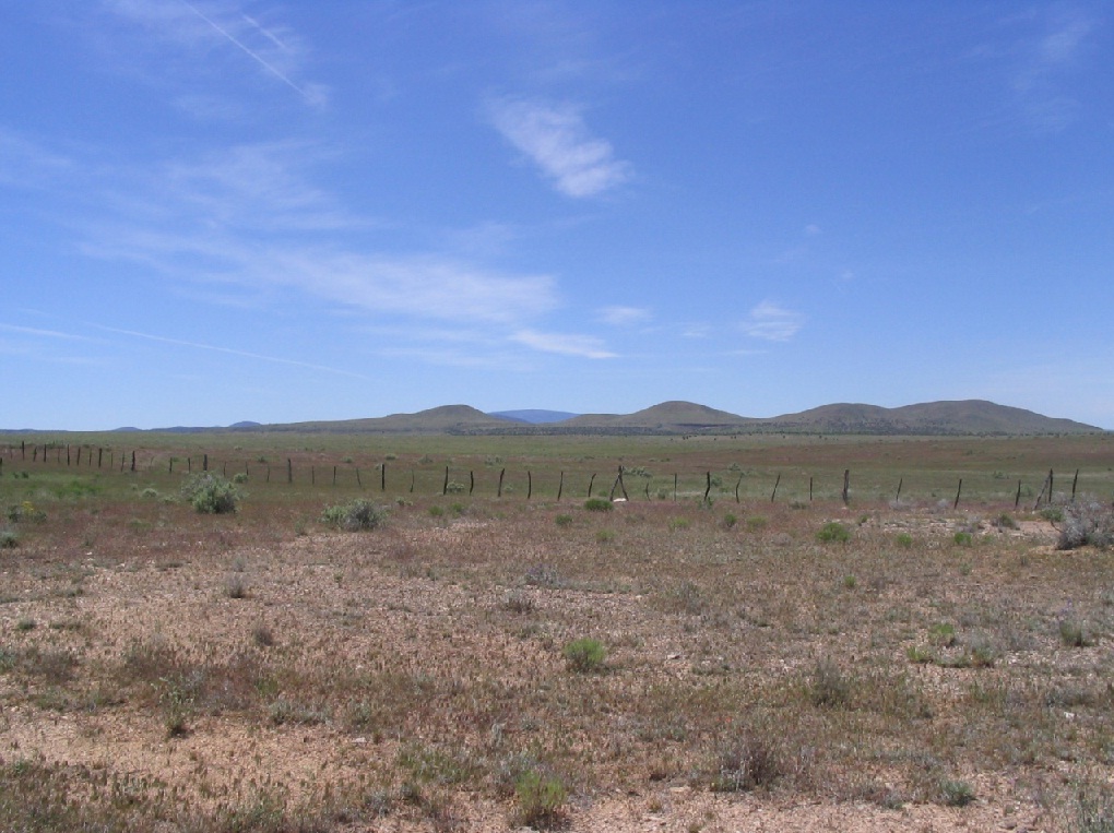
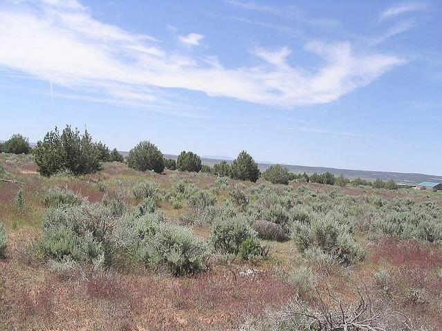
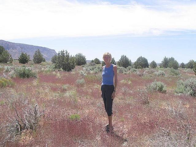
Here are our images from the visit to the confluence. We were near the highway and south of a facility of some sort. This wasn't much of a scenic point but it was so close to the highway, we had to log it. So here it is.
I won't go into details here why the place is so controversial. It's too long to properly explain and I'd probably get it wrong anyway. The people here generally don't like outsiders, certainly people coming here to stare at them ... which is exactly what we were doing. I felt uncomfortable and just wanted to bail. βð, braver than I, egged me on to drive farther. We got to the main grocery in town. She wanted to go in. I said no way. We left and drove back to the highway. Colorado City has a really bad vibe. It is, without exaggeration, the least friendliest, most intimidating city I have ever been to within the United States. Now that we've been to Colorado City, it was time to get to the task of driving toward Tuweep and Toroweap Overlook. We got on the main road (Antelope Valley Road) heading south, and took it slow. Conditions were good, and we were about 3,000 feet lower than the Kaibab Plateau, so snow was nowhere to be seen. It was actually quite warm, in the 90s. The road can be deceiving. It's often wide and smooth, so you get going to 50 miles per hour, then hit a patch of pointed rocks and pop, there goes a tire. We knew this, so we drove slowly, and sure enough would come upon the tire-popping rocks suddenly. Fortunately, we did not get any flats.
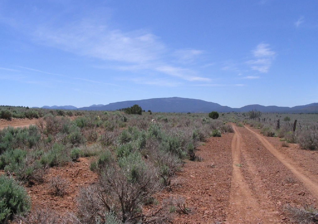
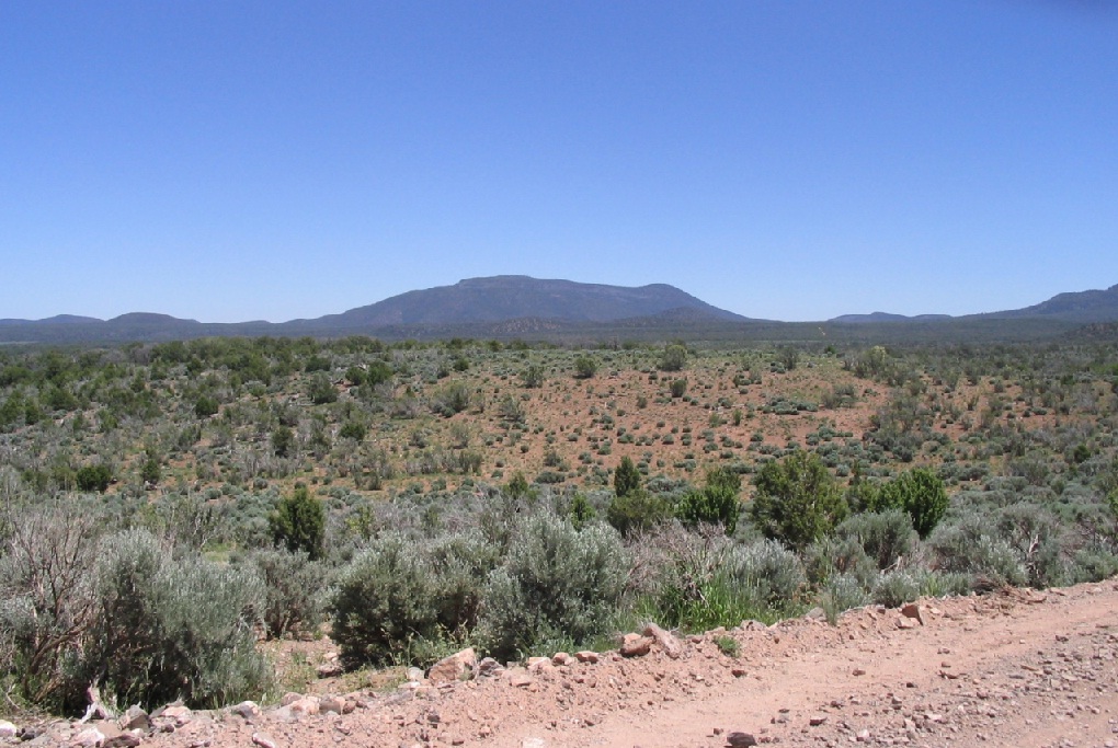
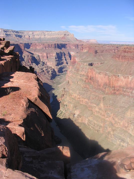
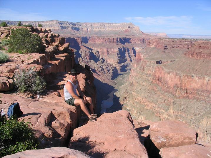
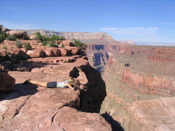
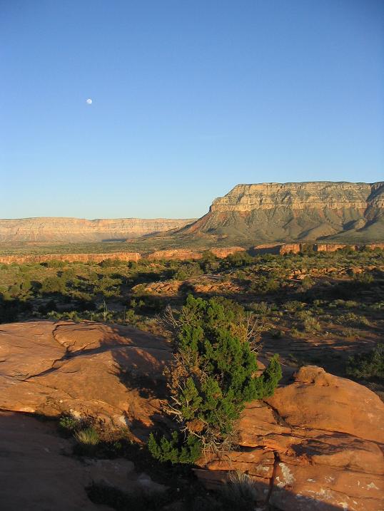
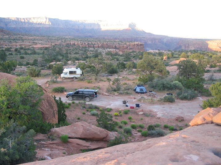
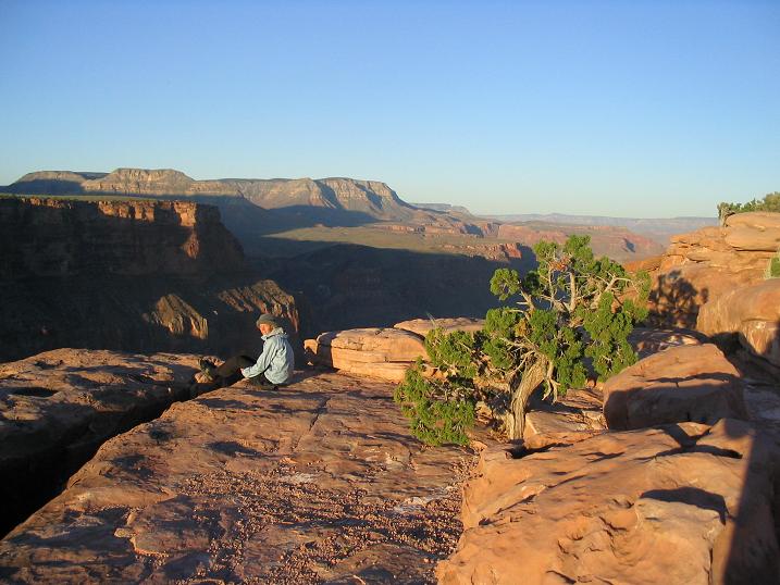
The scenery is marvelous. It is wide-open rangeland, flat at first but with some rolling hills. Mount Trumbull is just a shadow at first. As we got closer, the hills started in earnest. We encountered steeper slopes and heavier forest. In two hours, we'd driven about 65 miles to the Tuweep Ranger Station. It's just a place where the ranger lives. We entered the Grand Canyon National Park here. They don't collect fees at this remote location. We then drove slightly-rougher roads to the Toroweap Campground, where we scored a spot nearby a large rock outcrop, which was "ours" for the night. What a beautiful, wondrous place! We then drove to the Toroweap Overlook itself, which is about a half-mile from the campground. Coming the other way was a truck. The guy motioned us to stop ... and it was that East Coast guy! He was friendly, but yeah, he got a flat. I kind of expected he would. He went one way and we went the other, and soon, parked at the cliff's edge. The Toroweap Overlook is a three-thousand-foot cliff straight down into the Colorado River. And let me emphasize "unobstructed" and "unfettered": there are no guardrails here. One can inch up to the edge, and from there, carefully peer down into the chasm below. Or even fall in, if that's your scene. You can get right up to its edge to peer down. We sidled up to the edge on our bellies. The views all around are too magnificent to describe. We scampered about trying to find the "best" place for views and photos, but anywhere we stood was awesome. A stunning, beautiful place. We stayed here for an hour, then retreated to our camp. We were amazed that among other things, we could hear the roar of the Colorado way down below us. We could make out white-caps and see sections of rapids. We spent about 2 hours here before going back to camp, then returned at dawn the next morning for some more inspiration. Toroweap is an amazing, surreal, spiritually invigorating place.
Date: May 22, 2005
• Elevation: 8,029 feet
• Prominence: 2,969 feet
• Distance: 5 miles
• Time: 4 hours
• Gain: 1,529 feet
• Conditions: Warm and clear
Arizona
•
Main
•
AZ P1K
•
PB
•
LoJ
•
USGS Datasheet
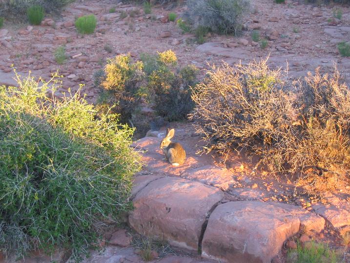
Early the next morning, we came back to the Overlook for more overlooking. There, a bunny scouted us. We had the place to ourselves again, plus the bunny. We spent about an hour here, letting things warm up. It gets cold at night here, then fairly hot as the day wears on. We then drove back out and now aimed for Mount Trumbull. Today, we would hike this peak.
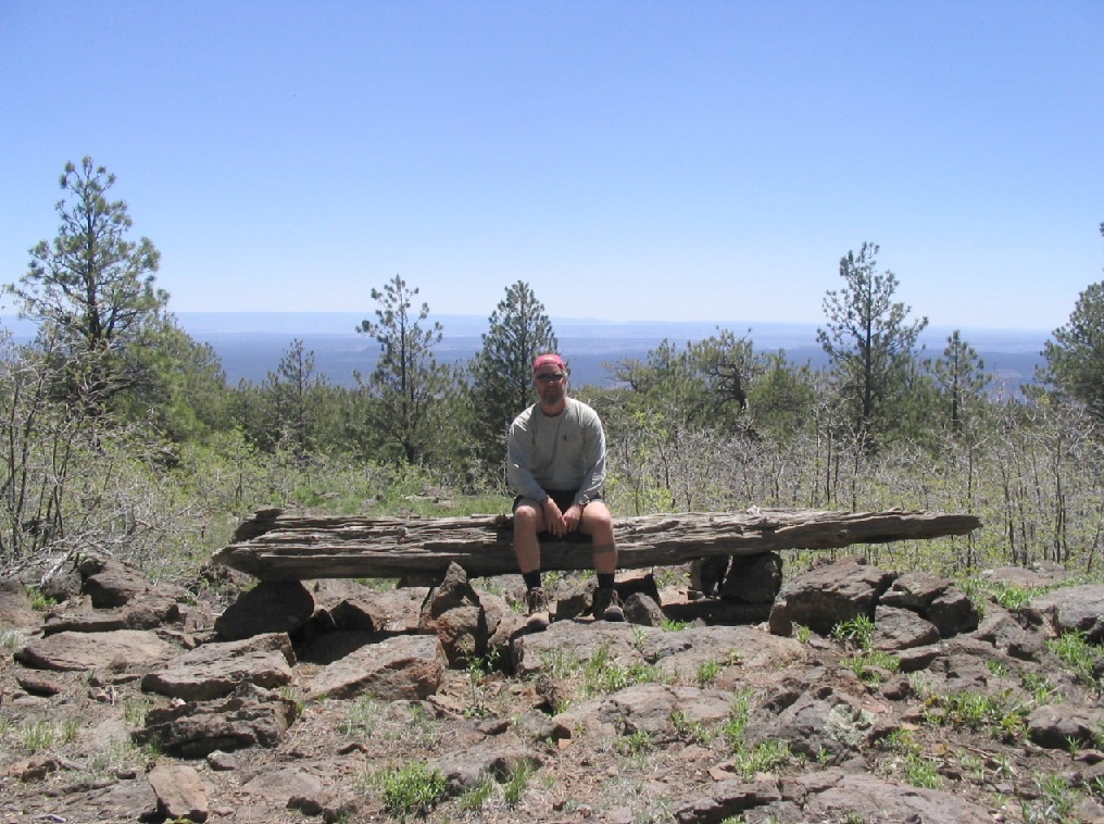
We drove back through Tuweep then toward the Nixon ranger Station and the trailhead for the Mount Trumbull hike. Surprisingly, there was another vehicle already parked there. We arrived at 9 a.m. in warm and clear conditions, elevation here 6,500 feet. Soon, we were on our way up the trail.
The trail wanders through pinon and juniper woodland, soon gaining the south slopes of the mountain. Here, the trail makes long swithcbacks and traverses, sometimes in forest but often in the open, the tread covered in volcanic rubble. After a while at this, we emerged onto the top "plateau" of the mountain, now in thicker ponderosa forest. It was here we met the presumed owner of the other vehicle, hiking down.
The trail essentially ends up here in the forest and pine needles, about a half-mile short of the summit. The man hiking down was frustrated, having spent an hour (he said) wandering the top for the summit before giving up. He had a thick German accent. We took a break up here, contemplating what the man had told us. We were confident we could solve this riddle.
The forest was thick enough to keep long-distance views to just a few dozen yards, essentially one big tree to the next big tree. Keeping a bearing wouldn't be too hard, but coming back may be tricky, should we get off the return bearing and lose the trail. We surmised that surely there were some markers of past hikers. From the end of the trail, we looked and could identify "suspicious" piles of rocks, lying randomly in small clumps. They appeared to be cairns that had been kicked over.
We followed each rock pile, one to the next, stopping often to keep an eye out for any other hints of a trail. Sometimes, tree branches would be lined up, too neatly to be random. In this manner, we were able to inch forward slowly, but happy to have some way to mark our return. In time, we had emerged onto the summit, which was partially open and covered by tree limbs and trunks of various size.
We spent awhile up here, having a lunch and swatting the flies. Views north and south were open, and we could see Humphreys Peak way to the south, and the cliffs north in Utah. Views east and west were blocked by the trees. The day was warming fast, so we started down soon, following the "trail" back to where the official trail ended (or begins, as per our perspective). Why the trail does not go to the top is curious... and why any hints of trail markers such as cairns and tree-limbs are removed is also baffling. It is a Wilderness up here so maybe someone, a Forest Ranger intern perhaps, is tasked with the duty of removing such items to maintain the wildernessy feel. We left things as we saw them.
Once back to the real trail, our descent went fast, and we were back to the truck about 1 p.m., a four-hour round trip hike covering about five miles. The day was officially hot by now, temperatures about 100 degrees.
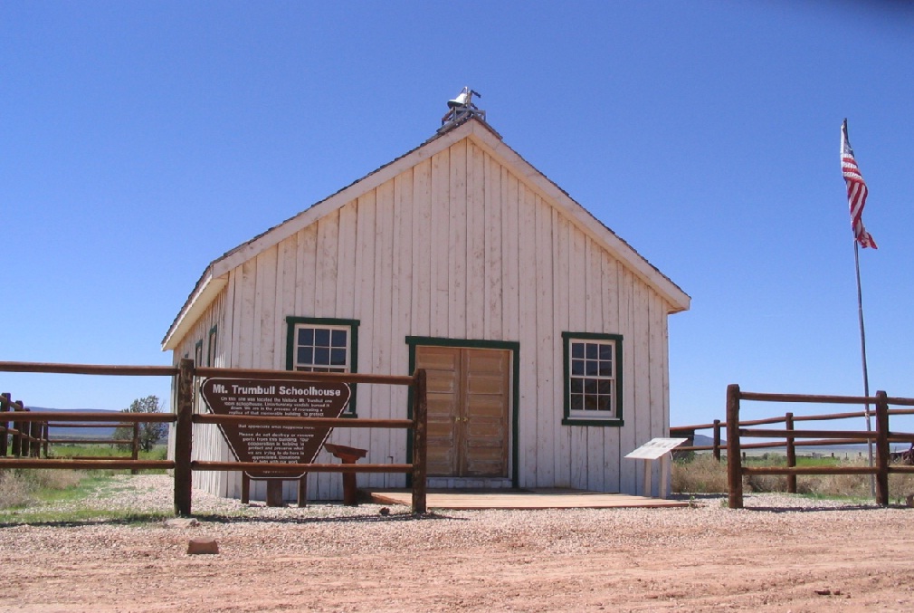
We were now done with the Arizona Strip for this trip, and had a hotel room in St. George, Utah, waiting for us, about 90 miles away. We followed the dirt tracks down the Hurricane Cliffs (including a very narrow stretch just a car-width wide), losing about a thousand feet. We came out to the townsite of Mount Trumbull, which now features a rebuilt schoolhouse all by its lonesome, and a few scattered homesteads. This was the only town ever to persist up here, but by about the 1940s had essentially become abandoned. It appears some people maintain ranches out here, but probably don't live here.
From the schoolhouse, we rumbled north, dropping more elevation until we came onto River Road at the Utah state line. We got to our hotel in town and cleaned up, ate and rested. The dust had covered everything about an inch thick. I spent a good while cleaning it out of the truck in the hotel parking lot.
I was pleased that we had no flat tires, too!
|


|