The Mountains of Arizona
• www.surgent.net
|
| Strawberry Mountain |
• Mogollon Rim • Tonto National Forest • Gila County |
|
Date: April 28, 2020
• Elevation: 6,813 feet
• Prominence: 773 feet
• Distance: 6 miles
• Time: 2 hours, 50 minutes
• Gain: 950 feet
• Conditions: Sunny and pleasant, but warming quickly.
• Wildlife: Dogs & Elk
Arizona
•
Main
•
PB
•
LoJ
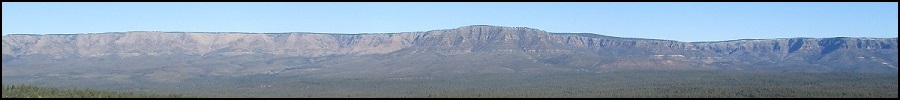
Strawberry Mountain is a flat-topped peak northwest of Payson, situated between the towns of Pine and Strawberry at the base of the Mogollon Rim. I suspect the mountain is an appendage of the Rim that somehow got separated from the main plateau via erosion, thus forming a stand-alone peak.
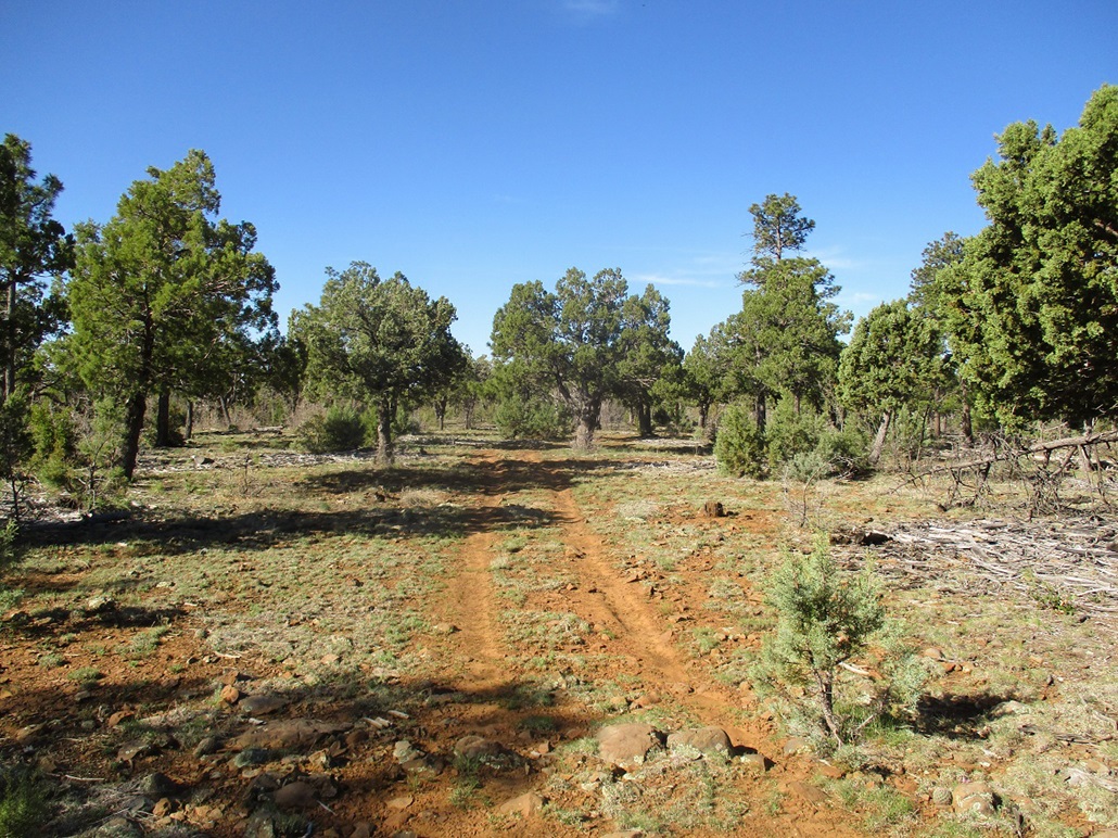
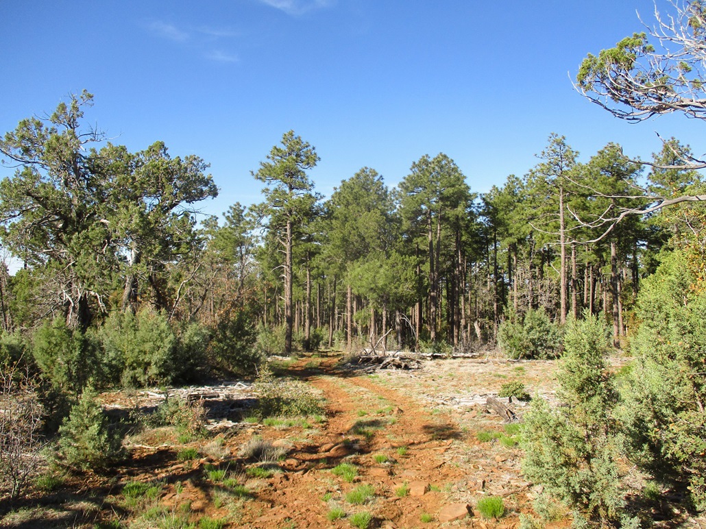
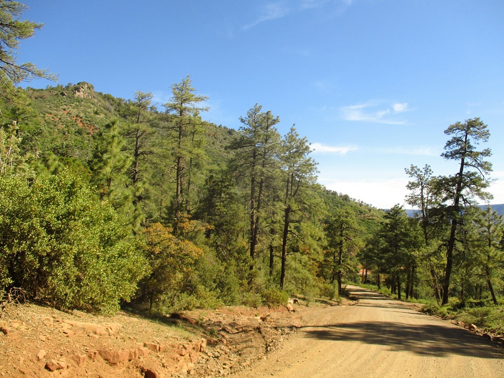
The mountain is surrounded on all sides by steep slopes and cliff bands, covered in heavy forest of ponderosa and juniper, plus various pines and varying degrees of undergrowth. The summit is a 6,813-foot spot elevation centered on the flat top, but not much of a climbing destination. People come up here to hike, the cliff edges offering fabulous viewpoints. A rough ATV track goes right over the presumptive summit, so many people get credit for climbing this mountain even if they didn't intend to. This is a popular area for hunters in fall.
I wanted to hike it sooner than later, aware things are warming up to where even being at 5,000 or 6,000 feet elevation can be uncomfortably warm. I had the morning mostly open and figured with an early start, I could be home by 10 a.m. to get busy answering emails and being productive.
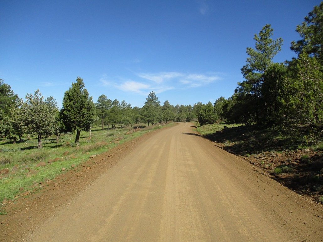
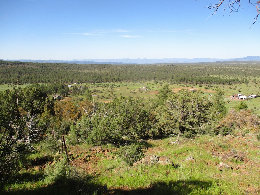
The peak is about 15 miles from Payson. I left early and was in Pine by 6:30 a.m.. I eased onto Hardscrabble Mesa Road (Tonto Forest Road 428), drove through town, then uphill on the hard-pack about a mile, parking in a pullout along the road, elevation 5,850 feet. It was sunny and already warm, but not too bad, about 65 degrees. I got properly attired, locked the car and started walking at 6:46 a.m.. The peak loomed directly above me to the north.
I walked up the road, which gets steep but is very well maintained. I gained 350 feet in about a half mile to top out on Hardscrabble Mesa. The road then splits, the "main" road going left but looking a little rougher. This road is a back route to Strawberry as well as Fossil Creek. The better road, FR-428A, goes right, mainly level, aiming for the Hunt Ranch up ahead. Early on, I could hear a lot of dogs barking. As I neared the buildings, there were a lot of them, in a kennel of some sort. They probably smelled me a mile away, and I was surely the highlight of their morning. I don't usually like to attract attention to myself, but today, I had about ten dogs going bananas as I walked by.
I was gambling a little bit because I was not sure how these ranch properties would affect my progress. The satellite images show old roads and tracks that go up to the main ridge. There, the ATV track picks up and meanders all the way to the summit. I preferred to be following some sort of path if at all possible, having no desire to wander through heavy forest.
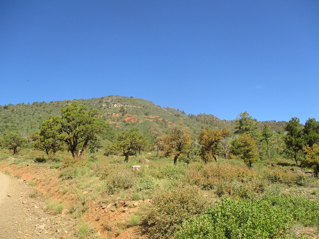
Not long after passing the dogs, I came to an opening for the Muleshoe Ranch, with a couple "No Trespassing Keep Out" signs. Bah. I would have needed to cross their property to stay on the tracks. Instead, I angled right (north) and started up the forested slopes, following their property fence line. The fence would serve as a good navigation device through the trees and undergrowth.
This segment gained about 400 feet in a half mile, and for the most part, was easy. The fence went all the way up, and there was always some very rough path or cleared area alongside the fence. Only a couple times did I need to wiggle through brush or branches.
About two-thirds the way up, on the forest (public) side of the fence, I came to another fence and a gate. This was in the thickest part of the forest too. Surely one of the most unexpected gates I've ever encountered, and confusing too, because what property was this bordering? I passed through the gate, continued up another fifty feet then heard a couple barking dogs sounding like they were just a few feet away. They were howling and barking and sounded like they were running after me. They sounded like regular dogs too, not coyotes or wolves.
I hustled my butt onto the other side of the north-south fence, now on the private property side of the fence. It's just strands of barbed wire that the dogs could easily squirm through, but they never did. They never appeared and I never saw anyone. Another fifty feet up the slope, and they were silent. How bizarre.
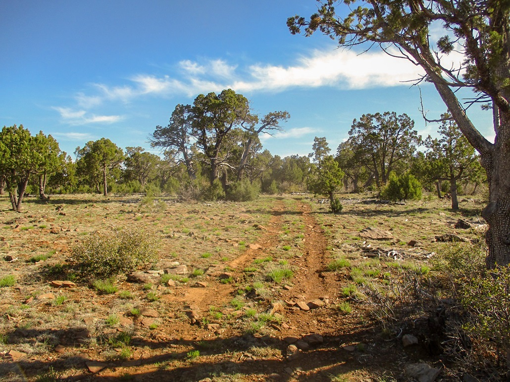
Now atop the ridge, the fence ended, and I kept on a north bearing until I came upon the ATV track. Here, I went right (east) and followed it for about three-fourths of a mile. It bends north and gains about 200 feet, most of that early on. The track then leaves the ponderosa and the views open up. Up here, it was mostly scattered junipers.
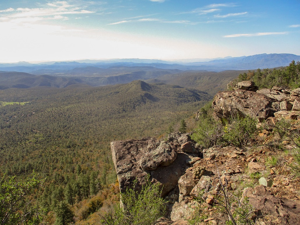
Up here, the slopes were negligible. I kept walking, sensing I was going uphill. I kept walking until I started to descend, rousting a small herd of elk up ahead. They slowly got up and walked away, not really running. I was hoping for some marker to affirm I was at a summit, but I saw nothing. I spent the better part of a half hour wandering into the trees and meadows from the road, exploring any rise that looked worthy of inspection. It wasn't all work, though. I would get close to the cliff edge and enjoy the great views. I had the whole place to myself and enjoyed the views and the forest.
I was able to determine a rough square about fifty paces to a side where I thought the top would be. But to determine any point as the highpoint was impossible. Any clump of dirt or pile of branches or random rock could have been the highpoint. I invoked my Rule of the Shin, which is I had to have been within my shin's height of the highpoint at some point. I considered the quantum aspect too, in that I was at the top but know not when, and at some point in time was at the top but know not where. As insurance, I walked loops in counter-clockwise orientations and invoked Green's Theorem (Here's the proof).
I walked back down the ATV track, then into the light forest again to get to the fence, which I followed down. Those forest dogs were totally silent, and I made good time going down, eyeballing tracks better. Down lower, those dogs in the kennel started up again. This time, I could hear a lady going "shoosh", probably wondering why they were so worked up. I figured it best to lay low and angled away from the fence, staying in the trees longer, meeting the road farther down than where I left it.
Once on the road, it was an easy walk back to my car. By now, it was warming, nearing 80 degrees. I met a couple people hiking the road, which is a great short workout if in the area. I thought about hiking nearby Peak 6107, a ranked summit, but it was warm now, and I left it for a later date. I was back to my car at 9:35, a two-hour, fifty-minute hike. I figured the mileage to be 1.5 miles from my car to the Muleshoe gate, a half mile to the ridge, 0.75 miles to the highpoint, and another half mile of wandering once on top.
I was home a little after 10 a.m., ready to answer boatloads of emails and avoid people. I enjoyed this hike, but probably won't repeat it. There is a northern approach from Strawberry but that seemed also to involve some forest wandering. There are some interesting trails up here that I will explore. Today turned out to be a warm one, into the high 80s. In the deserts, it was about 105 degrees, which is rare for April, probably record-setting heat.
|

|