The Mountains of Arizona
www.surgent.net |
|
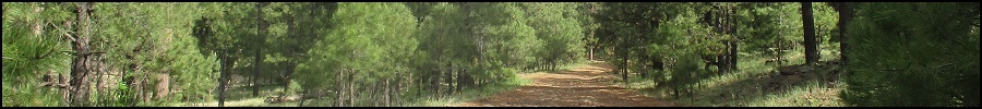
Lake Mountain • Jones Mountain I came up to the Mogollon Plateau today to hike four hills in and around Stoneman Lake. The day was absolutely magnificent, with pleasant temperatures, cloudless blue skies, low humidity and a soft breeze. On the agenda were three hills close by to Stoneman Lake: Lake Mountain, Jones Mountain, and Bill Back Butte. I also hiked Peak 8004, which lies east about four miles from the lake, as an add-on. All were short hikes, with varying amounts of forest hiking and cross-country navigation. The summits here are low volcanic mounds covered in ponderosa forest, mountain oak and gambel oak, along with moderate lower scrub and brush. None would have views, although I would be gently surprised in a couple cases what I was able to see. It was all pretty in a general sense.
Date: September 27, 2020
• Elevation: 7,830 feet
• Prominence: 370 feet
• Distance: 1 mile
• Time: 40 minutes
• Gain: 420 feet
• Conditions: Gorgeous blue skies
Arizona
•
Main
•
PB
•
LoJ
•
USGS BM Datasheet
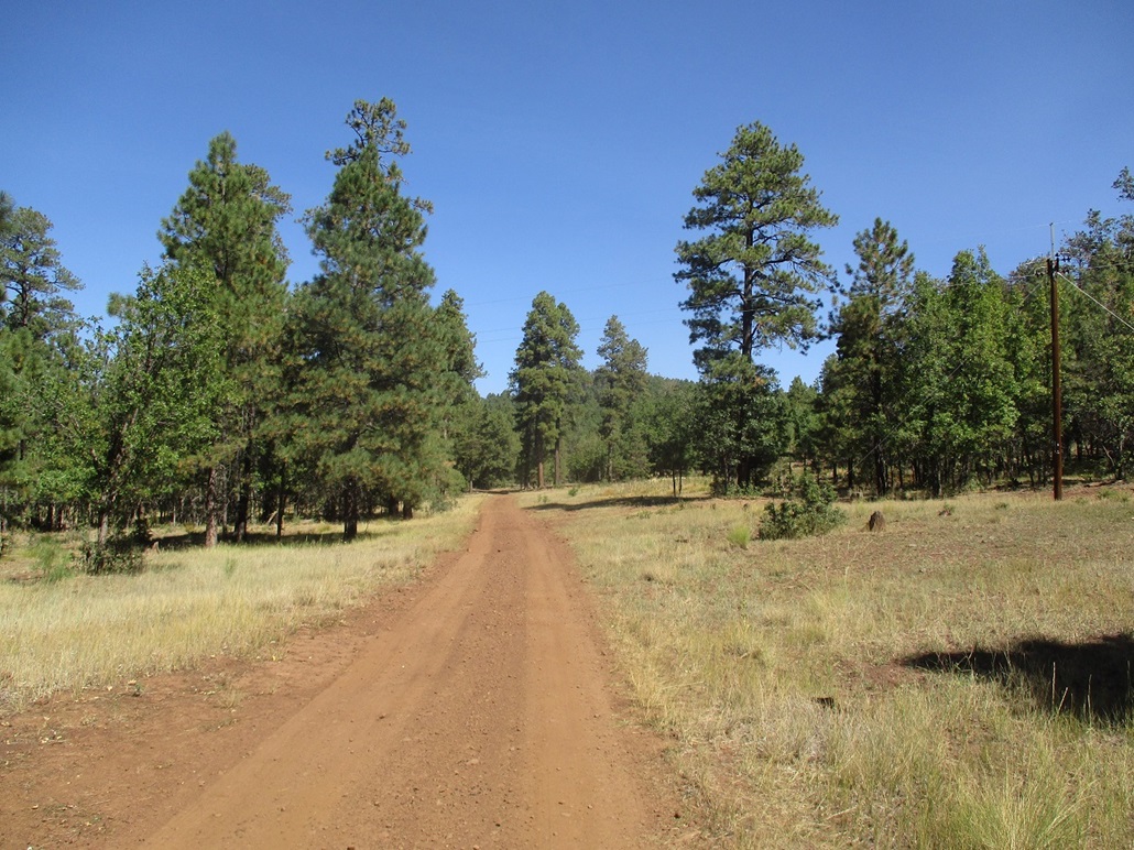
I left home a little after 6 a.m. and rolled into the general area, where Stoneman Lake Road (Coconino FR-213) meets with Lake Mary Road, a little after 7 a.m.. I went three miles west on Stoneman Lake Road, situating myself southeast of the peak, which lies hidden within the dense forest here.
After some exploring to find a good place to park --- where all the good ones were taken by campers --- I found a spot near where FR-765 meets with FR-213, near spot elevation 7413. It was cool. My car's thing that tells degrees said it was 39 degrees outside, but it felt warmer, maybe high 40s. It was very comfortable. I started hiking at 7:20.
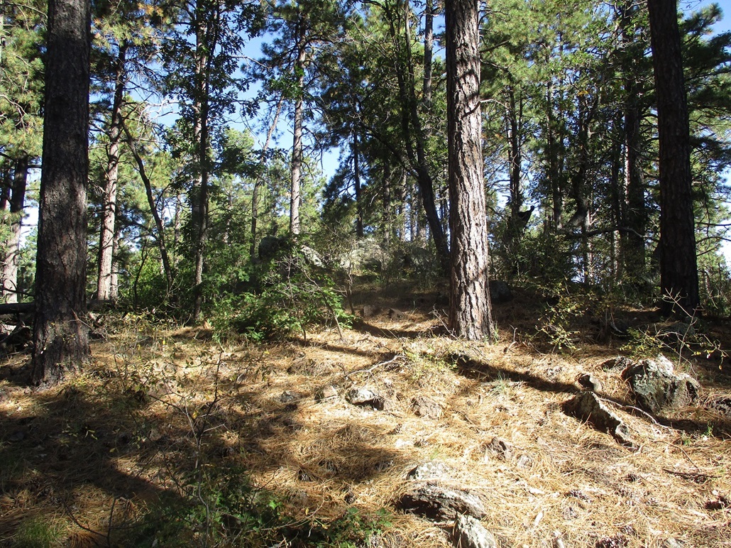
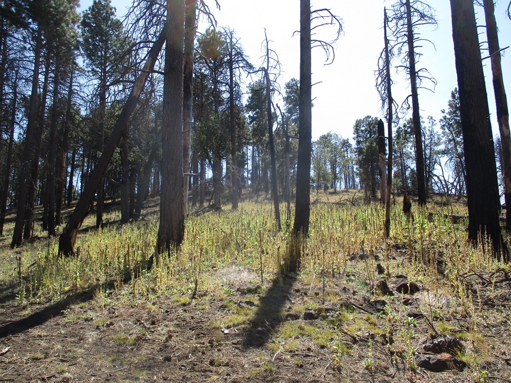
I walked up the main road, to its apex at spot elevation 7481, then busted up-slope toward the top. Lower down, I had to dodge thickets of dense mountain oak and thornbrush, downed logs and random rocks. Once up about a hundred feet, the slopes steepend but the undergrowth lightened. I aimed for a rock cliff up ahead, and found an easy ramp up through it. The top was in view, and I was soon there, this being the south tip of the small summit ridge.
The highest point is north a little bit, about a hundred-foot walk along the level ridge. Here, the thornbrush was thick and I had to push through it in places. The top is marked by a cairn and a register. I was the first to sign in since May. The top is forested with no views.
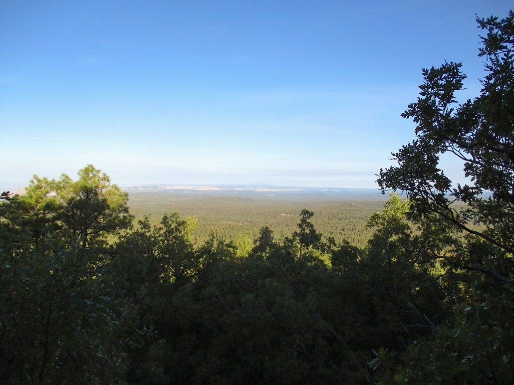
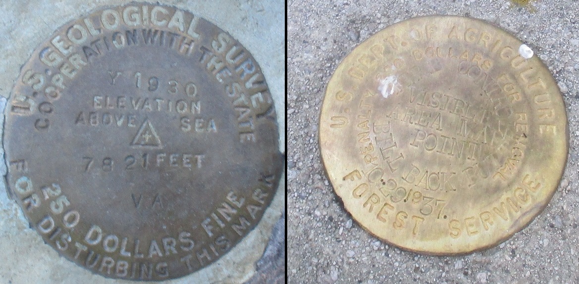
I then walked a little ways to the west. There are openings that allow views onto the lower plateau, then the distant cliffs of the Coconino Plateau and one of the big volcanos --- Sitgreaves, I think. A benchmark is affixed to the rocks here, but stamped VA for some reason. In the datasheets, it is designated as "Lake Mountain". Why they stamped it VA, I don't know.
I hiked down the same way, and was back to my car at 8:10. I figured 20 minutes up, 10 minutes wandering the top, and 10 minutes down, and a mile round trip. Next up, Jones Mountain.
Elevation: 7,936 feet
• Prominence: 516 feet
• Distance: 1.6 miles
• Gain: 476 feet
• Time: 1 hour
• Conditions: Still gorgeous
PB
•
LoJ
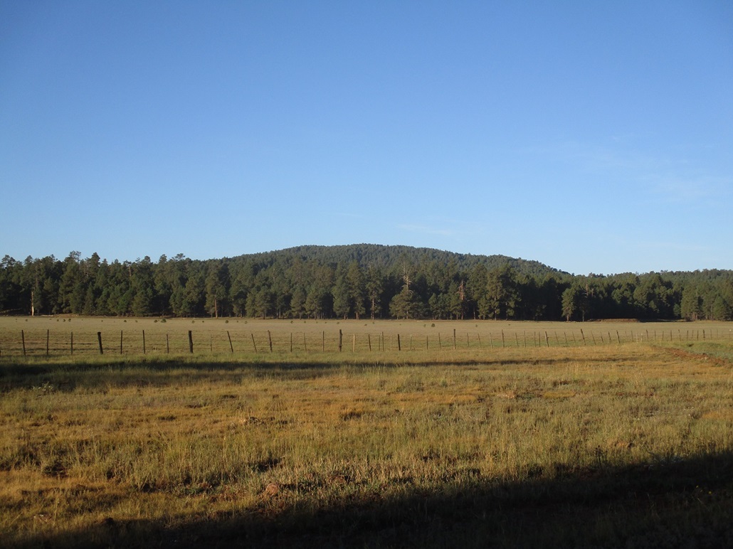
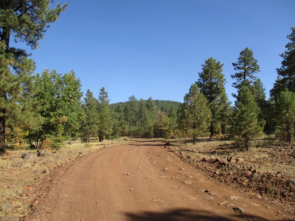
Once down back to my car, I drove west on FR-213, dropping about 400 feet and situating myself somewhere near Stoneman Lake itself. I just wanted an image of Lake Mountain and I was able to get a couple. Then I drove back up and east of Lake Mountain. Next on the agenda was Jones Mountain, southeast of Lake Mountain. I drove almost all the way back to Lake Mary Road, then turned south on FR-230, the main road to Apache Maid Lookout.
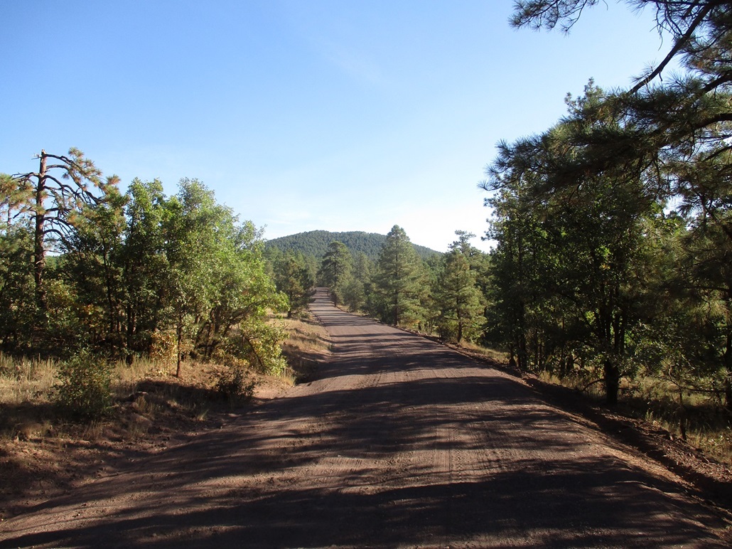
I drove a couple miles until I was where FR-230E hangs a right at a Y, Jones Mountain directly ahead. I eased onto 230E, a slightly-rougher road, then got onto FR-947, getting in about a half-mile, parking in a neat unoccupied campspace. I could have driven farther but I liked the spot too much to pass up. I was less than a mile from the top anyway. I started hiking at 8:30 a.m., the weather warmer now, in the low 60s, and absolutely stunning.
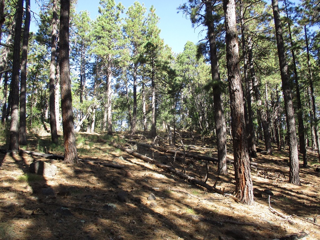
I walked up FR-947, the road angling to the right past Stevens Tank. I found a narrower road jutting off the main road, going west toward the hill. This road was not on any map, but I followed it anyway. It worked well, and got me in another few hundred feet with about a hundred feet of gain. The road is probably an ATV track hunters use.
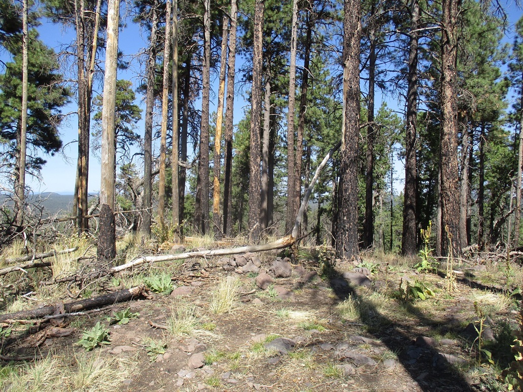
I angled into the trees, following some open areas, but eventually the trees thickened, although the undergrowth was light. I aimed upward toward a rock knob, which led to a slight ridge, which led to the "top". Well, it was a top of some sort. The trees up here were thick and I could only see 50 feet in any direction.
I went right (north) through a thornbrush and mountain oak patch, down a slope, until I was convinced there was nothing higher that way. Then I returned to the top and went south to another top. South of that, the slopes dropped quickly. I could not determine which top was the highest point, but visiting them both covered all bets.
Heading down, I surprised myself by navigating through the trees right back to that ATV track. It was an easy walk from there back to my vehicle. It was 9:30 a.m., I had been gone an hour. My next objective, Bill Back Butte, was just a mile or so to the south. I would be there momentarily.
Elevation: 7,743 feet
• Prominence: 341 feet
• Distance: 1 mile
• Time: 45 minutes
• Gain: 423 feet
• Conditions: Gorgeous
PB
•
LoJ
I drove back to FR-230 and south a mile or so. The road wiggles to the west of Bill Back Butte. Within minutes, I was in the general area where I intended to start hiking. I drove past a cattle grate, then eased onto FR-230B, which curls south of the hill. I parked in a clearing just before the first rocky section of FR-230B, about two hundred yards off the main road. It was 10:45 a.m. when I killed the engine, sunny and pleasant.
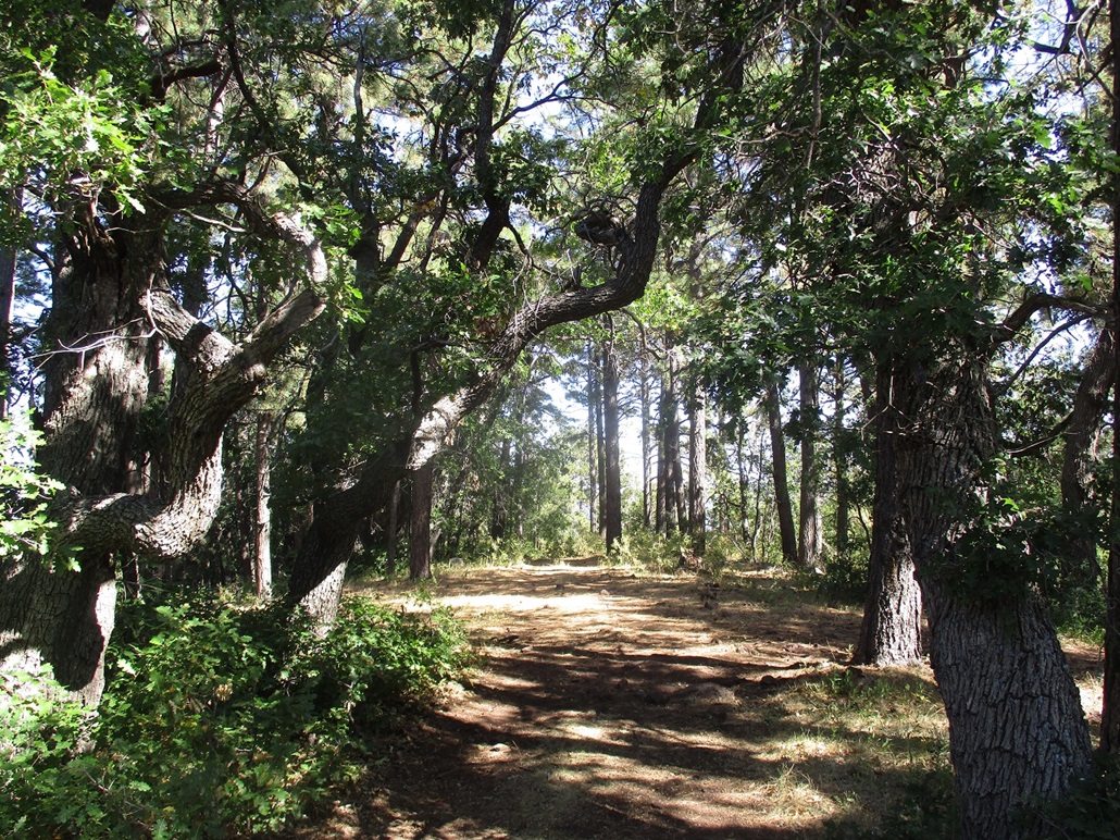
I walked uphill, crossing under a barb-wire fence along the way. The trees gave way to a meadow, then quickly back into the trees. I generally tacked northeast and soon was on a ridge. To my surprise, I found a road, a narrow ATV track. This lead to the top, which I achieved quickly, about 25 minutes after starting. To my surprise again, I found a benchmark on a rock, a "trig point", stamped from the 1930s.
I did not stay long as there were no views and I was barely tired. I wondered where this track came from but could not determine that. I followed my route down exactly and was back to my car soon, a 45-minute hike covering about a mile.
On the drive out, I tried to determine where this track would have started but nothing stands out. There are a few tracks that lead toward the hill, but it's hard to know for sure and the satellite images don't help.
I exited back to Stoneman Lake Road, joining in with the promenade of trailers, campervans and vehicles starting the journey back south. I did not have to travel far, just a few miles, to situate myself for my next hike up Peak 8004.
Elevation: 8,004 feet
• Prominence: 384 feet
• Distance: 3 miles
• Time: 75 minutes
• Gain: 485 feet
• Conditions: OMG, gorgeous
PB
•
LoJ
Back on Lake Mary Road, I went south a couple miles, looking for FR-6057. Naturally, I whizzed right past it. I had to turn around and get back to it. It's not obvious and has an old heavy gate across it. I got through and drove up a little bit, parking on a small elevated open patch of ground near a gravel pit.
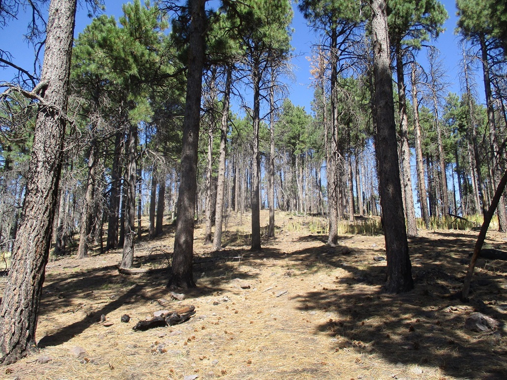
I started walking north on FR-6057. The road got a little rough quickly so parking early was wise, although a beefier vehicle would be fine. I walked a mile, the road mostly level, some private property to my left (west), forest and hills to my right. The road drops about 80 feet, then gains it back, reaching an apex. Here, I started up the slopes.
The uphill was steep but short, gaining about 300 feet. The upper slopes were burned in about 2015, clearing out some undergrowth but still leaving sections of loose soil and downed timber. But it was easy, and I found myself on an ATV path, which I followed to the summit, coming in from the north. The one-way hike covered about a mile and a hlaf, taking about 40 minutes, which included a long break when I found some shade to sit in.
The top was wooded but with views due to the fire. I sat for a spell here too, signing into the register. Someone was here 11 days ago, and it seems a hadnful per month come here, some hunters and various hikers. One group calls this Ladybug Peak, but I saw no ladybugs.
Dropping off the south slope was more ATV track. Intrigued, I followed it down, not knowing where it goes. I could always bail and cut through the trees to get back to the main road if necessary. I dropped a couple hundred feet, to where the track meets a better road, FR-294D. I followed this down back to FR-6057, and back to my car. I'd been gone about about 75 minutes, walking 3 miles.
Hiking the ATV track up might be tricky as it was almost invisible in the tall grass beyond FR-294D, but going cross-country would not be too bad, as the forest is open, partly due to that fire. However, I was pleased to find it, it gave me something to follow and avoided brush. Hey, it was there, man.
Back at my car, I was done for the day. I changed into driving clothes and had a snack and a drink. It was nearing 1 p.m., I had hiked four bumps, a total of 6.6 miles, and a cumulative gain of nearly 1,800 feet, so I had a productive day. I headed home, avoiding the worst of the traffic that usually exists on these highways on a Sunday afternoon.
|


|