The Mountains of Arizona
• www.surgent.net
|
| Saddle Mountain • Coconino Plateau |
• San Francisco Volcanic Field • Coconino National Forest • Coconino County |
|
Date: May 16, 2010
• Elevation: 8,880 feet
• Prominence: 1,000 feet
• Distance: 3 miles
• Time: 90 minutes
• Gain: 730 feet
• Conditions: Gorgeous
Arizona
•
Main
•
AZ P1K
•
PB
•
Interactive map
We wanted to camp a weekend in the high country northwest of Flagstaff. The weather was warming in the deserts, although not yet in the hundred-degree range. Conditions up on the Coconino Plateau looked promising, with daytime highs in the 70s, night-time lows cold enough to warrant a jacket.
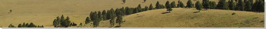
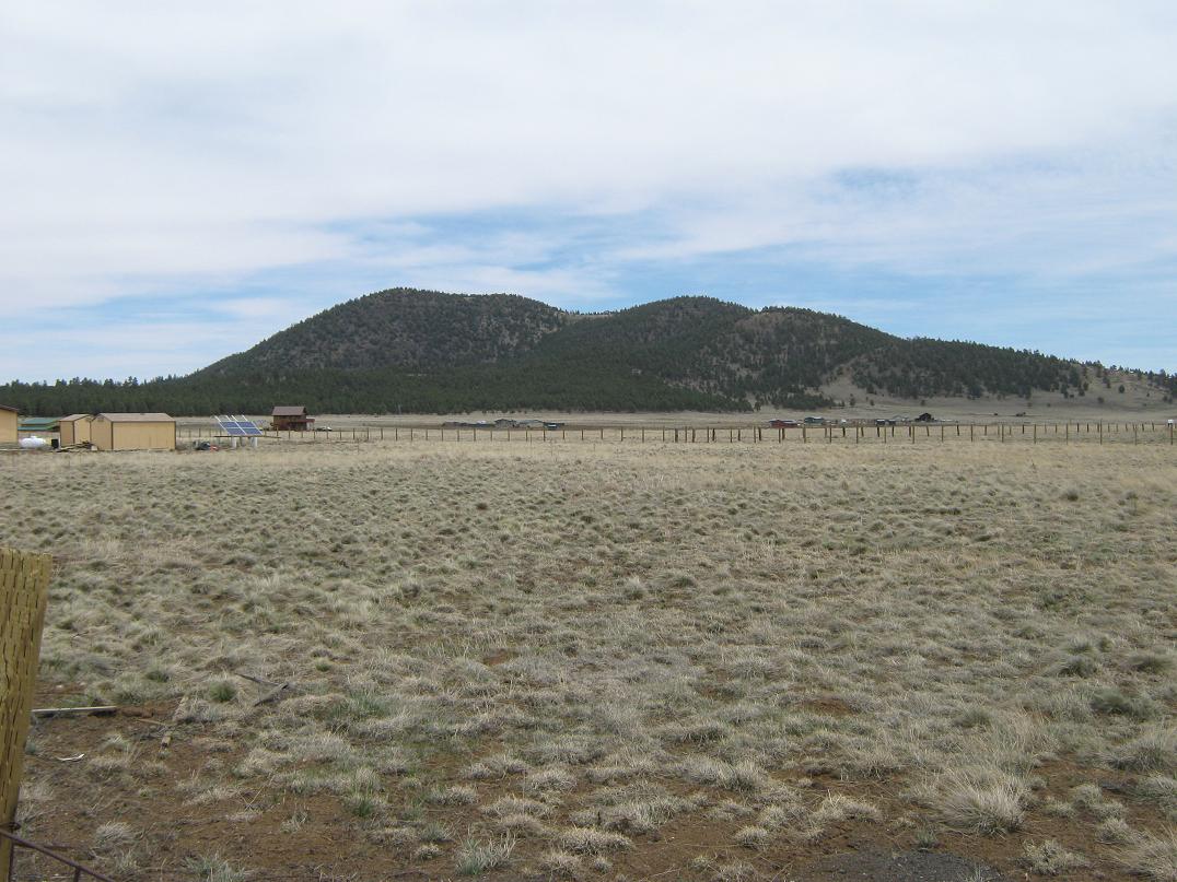
We had one objective in mind: Red Mountain and its interesting eroded canyon. Otherwise, our plan was to drive around until we found a place to camp. A series of hills west of Humphreys Peak looked like a good place to explore. Saddle Mountain is the highest of these hills, all of which are cinder piles from ancient volcanic eruptive "plumes".
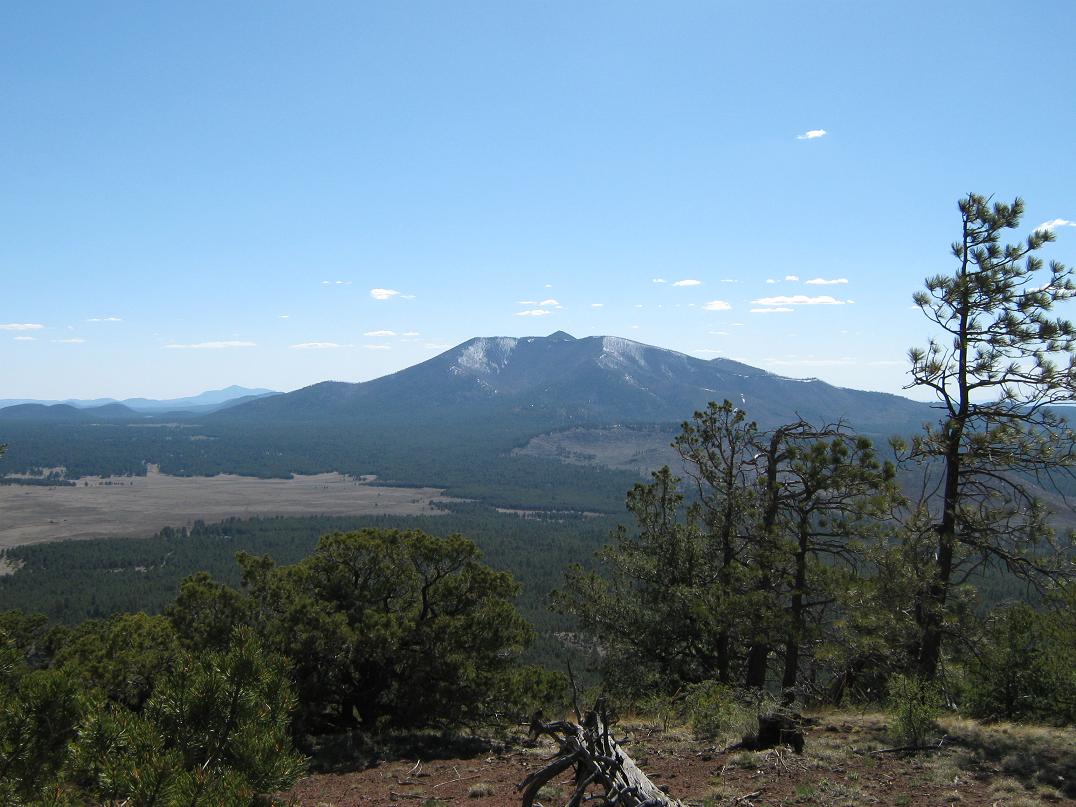
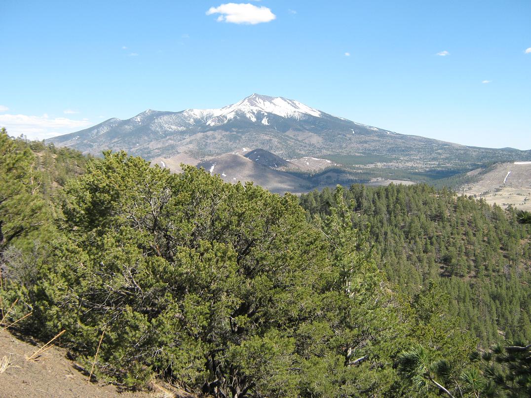
About 30 miles out of Flagstaff on US-180, we drove north of Saddle Mountain to Forest Road 523, turning right (east), entering onto a fresh burn, which lasted for a few miles. We then drove to FR-550, and followed it southbound up a small pass immediately east of Saddle Mountain, and with jaw-dropping views of the San Francisco Mountains, still clad in snow. We found a clearing and parked, pulling in about 2 p.m. We were at 8,150 feet elevation, the day clear and warm, with a consistent, but gentle, breeze. This would be our camp. We relaxed for about an hour, admiring the views.
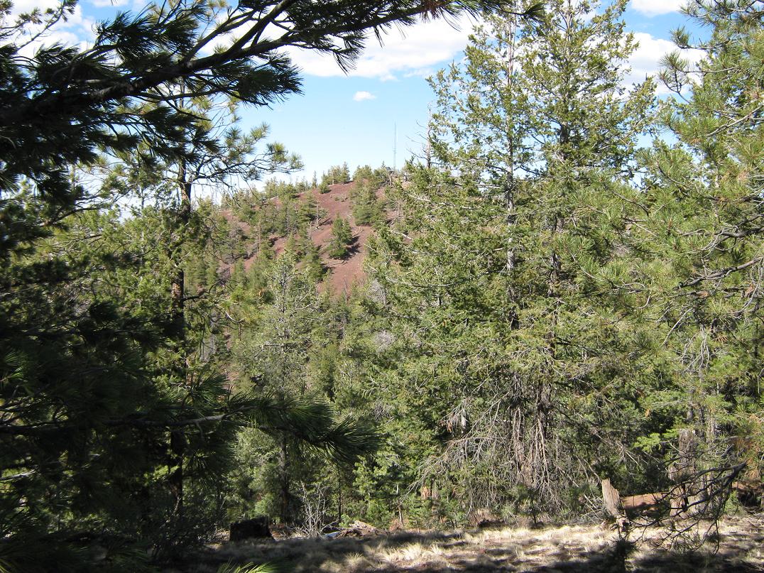
We were nearby a spur road that goes to the top of Saddle Mountain, but it meandered. Instead, I chose to follow a direct line up the east ridge to the top, a steep but short push that gained about 750 feet in about a mile. I started hiking at 3 p.m., and was on top by 3:30. The top itself is nothing to get excited about. It has a small building and communications towers, plus a buzzing generator. The views were something else: that of Humphreys, of course, but also of Kendrick Peak to the west, hundreds of other cinder peaks, and the flat Coconino Plateau leading up to the Grand Canyon. While I couldn't see the canyon, I noted the land seemed to "end" abruptly that direction. Looking east, I could see into the distant Navajo Nation and its unique pink-orange-umber mesa country.
For the hike down, I followed the service road, which takes about 2 miles to descend. On the way, I ascended another hilltop, elevation 8,864 feet, followed by a leisurely stroll back to the car, where βð was happily keeping an eye on the scenery. I was gone for about 90 minutes. I joined her in the front seats and took a short nap.
Around 6 p.m., I went to the back of the car to prepare dinner. As I was opening a packet of cheese with a knife, I cut myself, a three-quarter inch laceration of my left index finger. It did not hurt at all, but bled profusely. I knew this would need stitches. I folded up wads of tissue paper, then held it all in place with one of βð's hair scrunchies. This worked very well as it applied positive pressure the whole time.
We broke camp (such as it was) and drove back into Flagstaff, to the Emergency Room at the local hospital. I ended up with four sutures, and we were in and out of the ER in less than three hours. By now, it was after 9 p.m. and too late to go back into the forest to find a place to camp, so we stayed at a local hotel for the night. My finger was encased in a big white bandage, and only now did it start to ache slightly.
The remainder of the trip went well, and my finger proved not to be much of a burden. I just had to keep an eye on it. The next day we drove to Red Mountain, eventually passing through Valle, Williams and camping in the forest about 15 miles south of Williams along the Perkinsville Road.
|


|