The Mountains of Arizona
• www.surgent.net
|
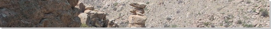
| North Star Peak |
• Little Rincon Mountains • Coronado National Forest • Cochise County |
|
Date: March 30, 2025
• Elevation: 6,041 feet
• Prominence: 1,021 feet
• Distance: 7.8 miles
• Time: 6 hours & 20 minutes
• Gain: 2,460 feet (gross)
• Conditions: Sunny, warm, dusty haze in the air
• Partner: Scott Peavy
Arizona
•
Main
•
AZ P1K
•
PB
•
LoJ
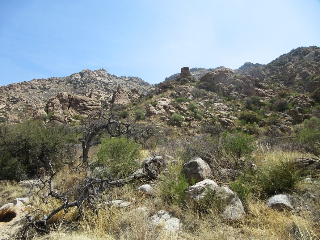
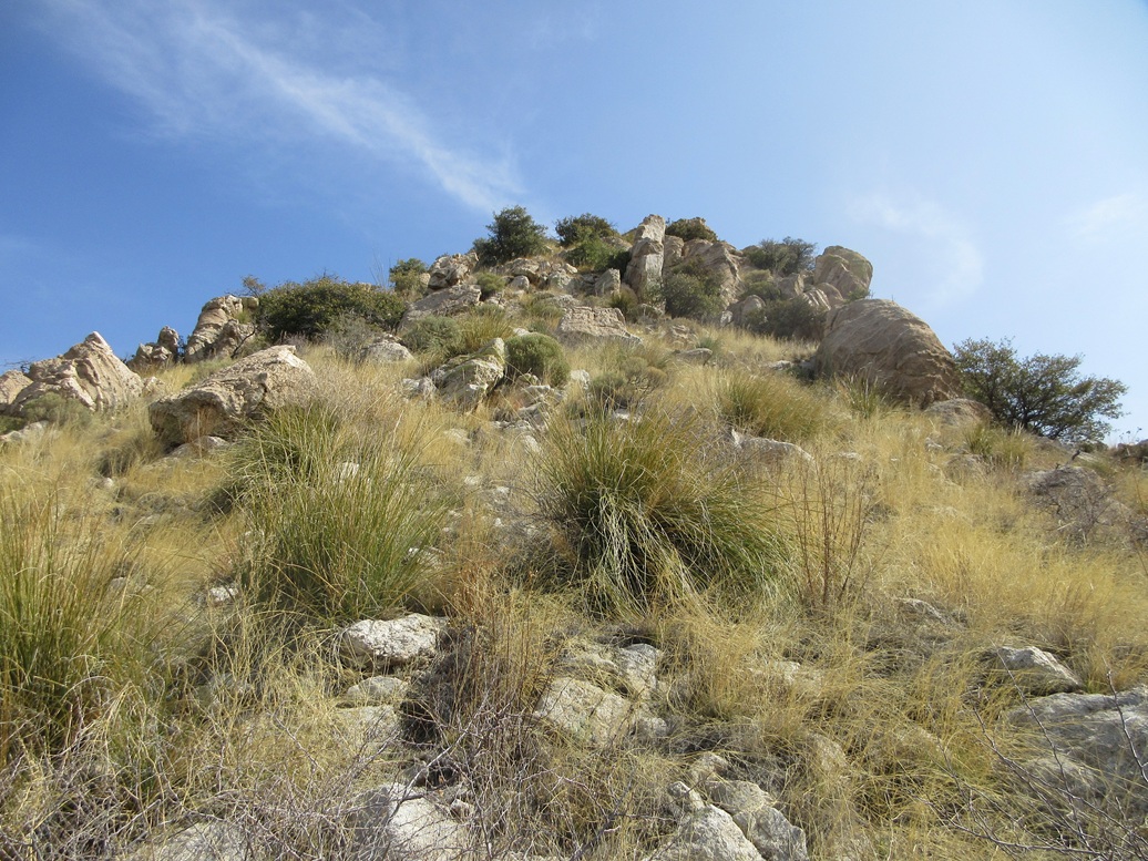
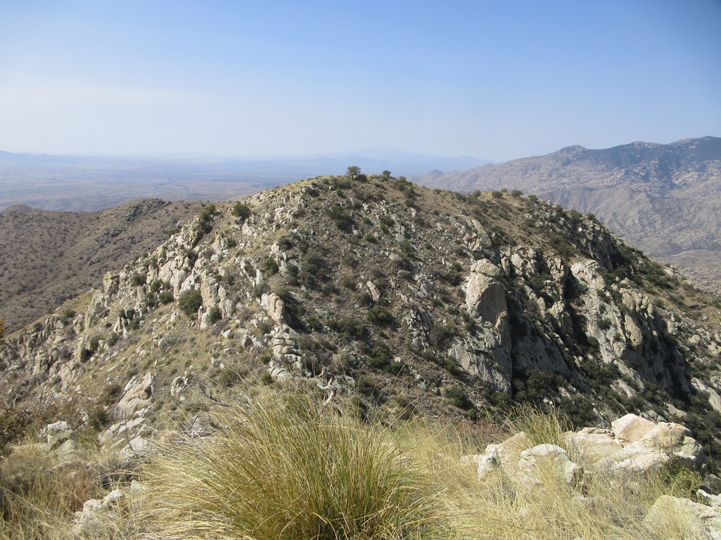
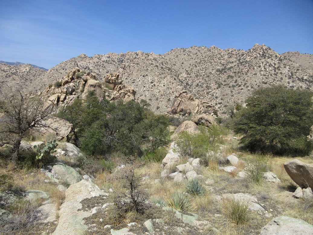
North Star Peak rises in the Little Rincon Mountains, east of Tucson and northwest of Benson. It is the second-highest and second-most-prominent peak in the range, trailing Forest Hill in both categories. The peak and its surrounding ridges and canyons are notable for its incredible rocky landscape: slopes of rock, cliffs, steep-walled canyons, and fascinating rock formations in every direction.
Scott Peavy and I teamed up to climb this peak. Me, I had been looking at it for a few weeks, reading trip reports, and figuring it would be smarter to have a teammate on a hike like this. There does not seem to be a consensus on this peak. Some have reported it to be very brushy and unenjoyable, others have said it's not so bad and very pretty. I think the answer is yes to all assessments. It's a little of everything.
We met at 6:30 a.m. at the J-Six/Mescal Road exit west of Benson, then drove north on Mescal Road, which morphs into Happy Valley Road, then when it crosses into the Coronado National Forest, is designated Forest Road 35. It was about a 10-mile drive to the small undeveloped camping area where the route begins. The road is hardpack for the last 7 miles but in fine shape, suitable for just about any car.
The day was looking to be a sunny and pleasantly warm day, highs in the high 70s in Benson, but in the low 40s for us at the moment. The only downside was a mist of fine dust in the air, the after-effects of two very windy days in the region. Our route would be within a west-facing canyon, meaning we'd be in the shade for almost the entire ascent.
We got suited up and started the hike at close to 7:30 a.m.. The first challenge is to find the trail. There is no official trail nor trailhead here. We dropped into Ash Creek's sandy bottom, then up the other side, then just pushed upward until we found something that looked like a trail. When in doubt, we went uphill. Sure enough, we came to an obvious trail paralleling a fence line, this about 75 feet above our cars.
We followed this trail to a gate, passing through it, and continuing inward toward the actual canyon, which despite its size and impressive scenery, has no name. It leads to the Hidden Pasture, a meadow tucked high up in the range, about 4 miles in. Hidden Pasture Canyon would be a good name for the canyon, if you asked me.
The trail weakens. but is cairned, small "ducks" of a handful of rocks every ten or twenty feet. These small cairns were critical, because when the trail would get faint, going from cairn to cairn helped us a lot. The trail itself is just a cattle path, not maintained by anyone.
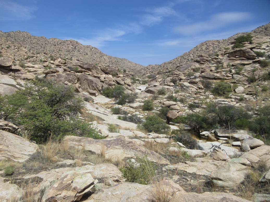
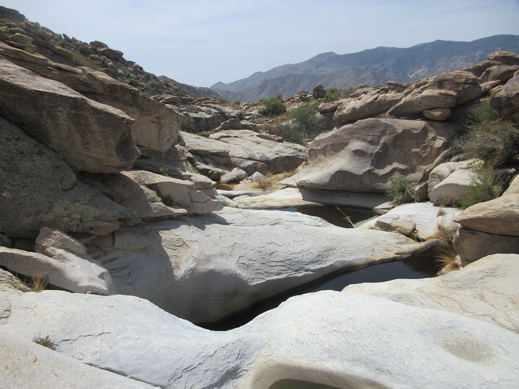
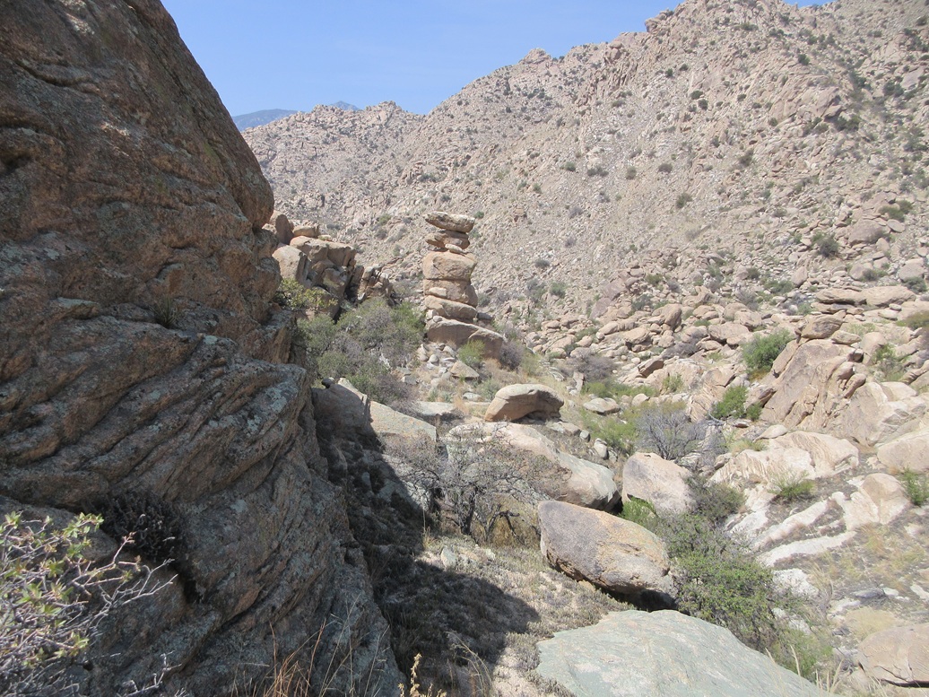
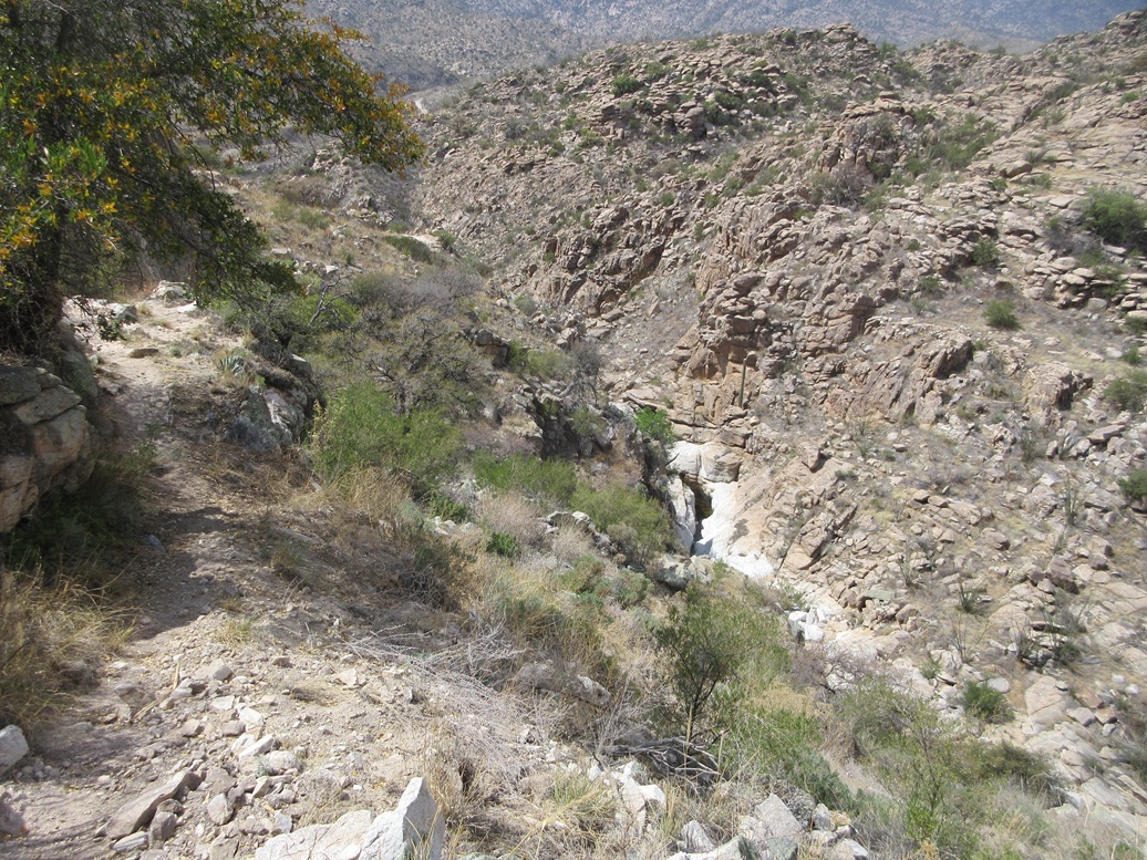
The trail also gets high up on the canyon's south wall very quickly. Looking down, the canyon bottom appears to be very narrow and filled with water in rocky tinajas. Getting up the canyon that way looks like something for the canyoneers.
Our trail/path just went from cairn to cairn, up and down the rolls of the ridges, the trail sometimes bombproof, and at other times, invisible, especially where it would cross over rocky terrain. But we made very good time, not needing to stop every thirty seconds to figure out where to go next. We got off-route a few times but always corrected ourselves quickly.
The trail eventually drops into the canyon bottom, now more sandy as well as rocky up this high. It crosses to the north side of the canyon bottom, and up and down past a hill, dropping back into the canyon bottom in a rocky basin with numerous water-filled tinajas.
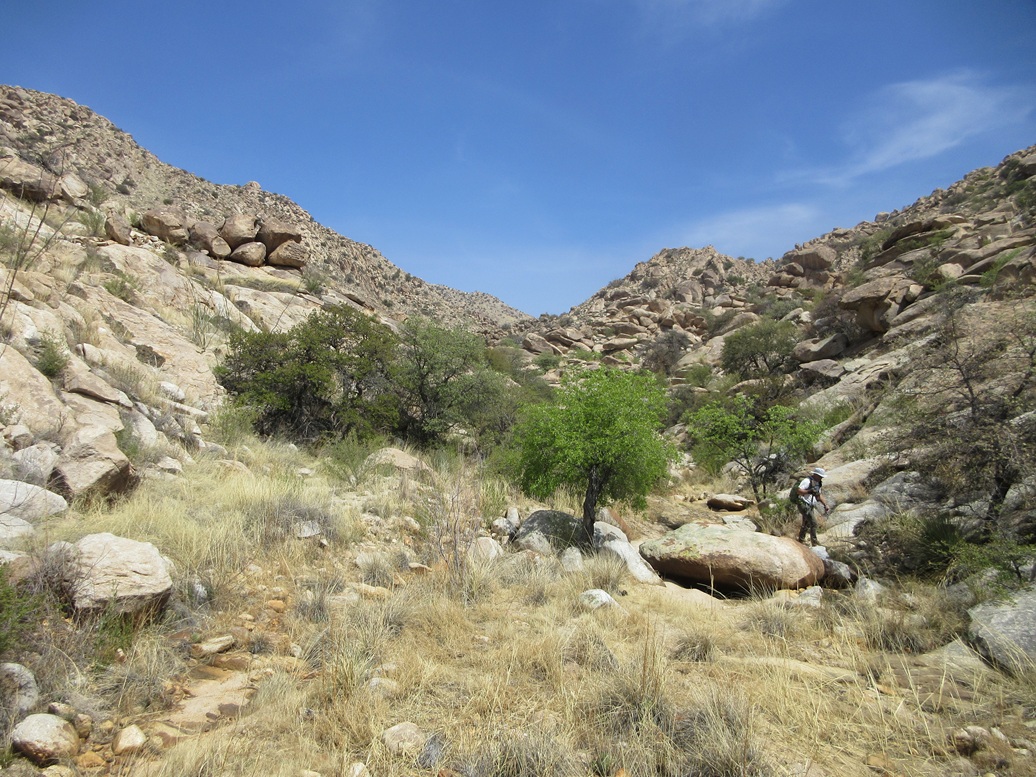
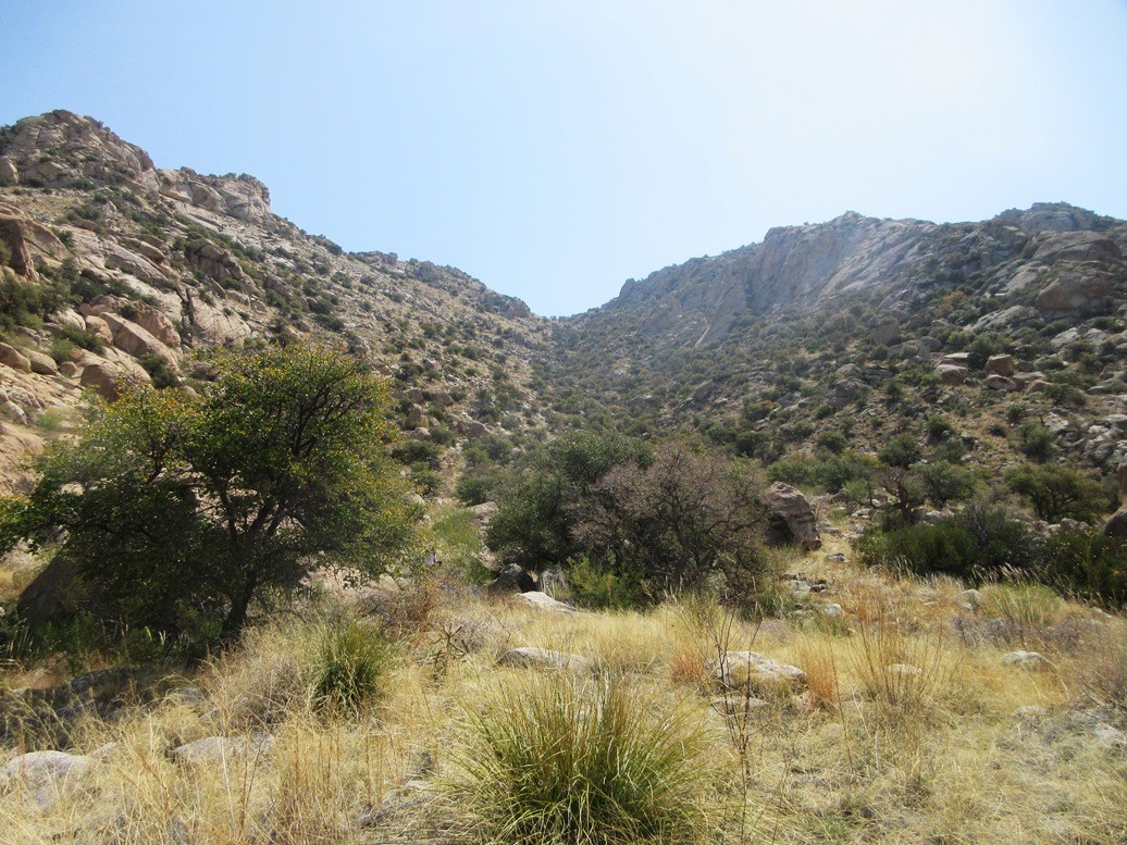
We still had about another mile of the canyon to go. Going higher, it was more of the same, following cairns, trying to glean the paths, and avoiding brush, which was heavier up this high. Eventually, the canyon splits, and we stayed right. The trail starts to gain elevation in earnest, and we were now looking up at a subcanyon, this one coming off the summit to its northwest (thus, we'd be heading southeast into it).
Now we were amid the giant rock formations and cliffs, and the route was often just a narrow opening through rocks, or a weak ledge. But at no time did it ever feel treacherous or too exposed. Footing was usually good. We took a break herein, and Scott said we still had 1,300 feet to go in about 0.6 mile. My thought at that moment was that if the terrain stays like this, I won't have any complaints.
In time, we were above the rocky formations in the lower canyon, now trudging upwards toward the high saddle above us. The cairns stopped here, too. It was nice having cairns this far in. We'd figure out the rest by ourselves. The peak was above the saddle, to the north (our left, as we looked up).
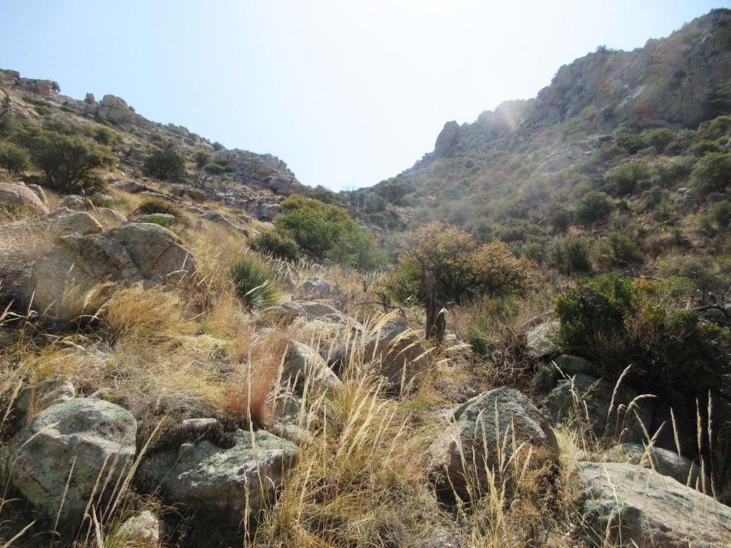
We made up the ascent in segments. It seemed smart to get to the left side of the canyon as we looked up. The terrain there was less rocky and more open slope, albeit very steep slope. This we did, and it worked well. The ground was held together by abundant grass, brush, and a moss-like plant that carpets the ground and forms little steps.
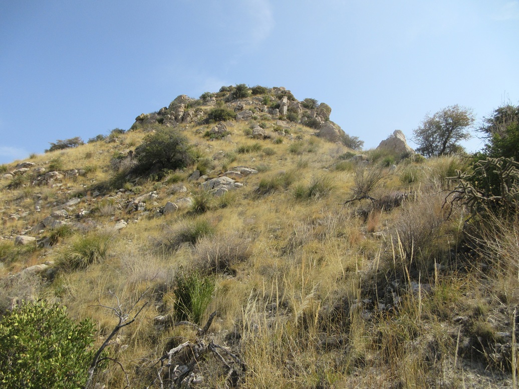
A little higher, we crossed right, to get around a small cliff. It was brushier here, with some minor scrambling needed to get up some rocks. Once above it, we crossed back left, and trudged up about 250 vertical feet of open slope to the saddle. I was ahead of Scott by about a hundred feet.
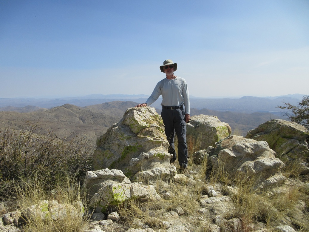
The peak rose above the saddle, very rocky with steep slopes. I walked up the lowest slope and took it in twenty-foot segments, going from rock to rock, weaving through the barriers. To my relief, it was just steep, but never worse than that. And soon, I was on top! I dropped my pack and checked the time: 10:50 a.m., a three-hour and twenty minute ascent. Scott appeared about a minute later.
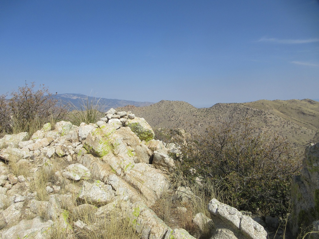
The top is, no surprise, rocky, but with good sitting rocks and open with fine views. The register was tucked into a cairn, but a rock about ten feet to the east was highest by a couple feet. Amy was here in February, someone else in January. Names went back twenty years but often years would go by between visits.
I wasn't that surprised it had taken over three hours to get here. While the terrain was never treacherous or worrisome, it was slow going and very steep, and it's not possible for me to move fast on this kind of terrain. Actually, I think our time was pretty good, for two old guys. My thought from below had proven true: it never got any worse than what we had coming up, and I was happy with that.
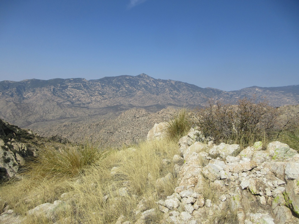
We spent about twenty minutes on top, having a snack and looking around. The big Rincon and Mica Peaks rose high to the west but their color was muted due to the haze. Forest Hill rose to the north. Scott's climbed that one. I, as of this moment, have not. He said the slopes weren't as steep as what we just had, so that makes me feel better for when I eventually get to it.
We still had a lot of getting down to do, so we soon got our packs shouldered and started down. We took the downhills slow and deliberately and just worried about the patch of dirt or rocks right below us. We were soon down off the steepest slopes, now getting back into the rockier lower canyon, and even seeing a cairn or two.
Going down, I was in the lead, and I followed a trail that looked good, but not one we had taken going up. We gambled and followed it down, and it did lead us into the main canyon bottom, but about 600 feet east of where we had left it going up.
It seemed like an easy matter to just follow the canyon downward, and meet up with our old trail and cairns. But we came to a thirty-foot high pour-off, and no way to get down it. This forced us back uphill slightly, to look for a walk-around. We were able to do that, but it was a lot of extra work.
Ten minutes later, we came to another pour-off. Scott said we were close to our ascent trail going by the GPS track. I picked a slope and busted uphill on it and found the path! That was a relief. Now we were back on the path and cairns we had followed up.
The outbound hike went well, but I was bushed by now, and we went slowly. The cairns were extremely helpful, because many of the turns would not have been obvious without them. With better light, I took most of my images on the descent.
The last mile or so just went slowly. I was stumbling easily on the rocks. I was scratched and bloodied from the catclaw and my hiking pants had a brand-new rip in the knee. We were back to the cars at 1:50 p.m., about a two-hour and ten-minute descent.
I was relieved to be done. The last little bit was very tiresome and I was lagging. I had gone through most of my liquids, but had some in the car. It wasn't dire, but it was uncomfortable. I was very pleased to have hiked this peak, and happy to be out, too.
Scott needed to head back home, so we parted ways. I stopped in Benson for a soda and to clean up a little, then drove back to Bisbee, arriving about an hour later. I sincerely appreciated having his company for the hike.
My assessment of the climb and the route is this: The cattle paths and cairns are absolutely critical in order to make good time. The brush was low, this being late March. When the brush is higher or greener, it can easily obscure the paths and any cairns on low-lying rocks. One still needs good route-finding skills despite the path and cairns. Higher up, you'll need to use a lot of common sense. But a well-chosen route should minimize the need to scramble and time battling the heaviest brush. There will be some of both, but it can be mitigated. Expect to go slow, and the rocky terrain is a feast for the eyes. Going slow allowed us to appreciate the geology and the scenery much more.
|


|