
The Mountains of Arizona
www.surgent.net |
|
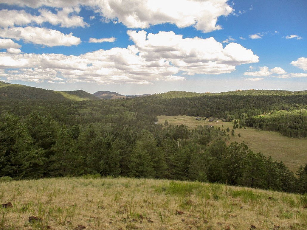
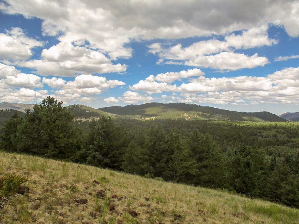
Point 9161 • Hummingbird Hill The Hochderffer Hills lie west of Humphreys Peak on its western slopes. The hills appear to be a blob of magma burped up from below eons ago, then weathered into the hills as we see them today. There is the main summit, elevation 9,161 feet, and two other ranked peaks, Peak 8993 (Hummingbird Hill) and Fern Mountain, contained in the hills. These three summits were my destination for today. Lidar data has revealed that a point northeast of the older presumed summit is a couple feet higher. In 2026, I returned to hike to this "new" highpoint. The hills are named for George Hochderffer, who homesteaded here in the late 19th century. He was among a group of settlers from Germany that settled in and around Hart Prairie about this time.
Date: August 8, 2020
• Elevation: 9,161 feet
• Prominence: 45 feet
• Distance: 4 miles
• Time: 2 hours, 15 minutes
• Gain: 760 feet
• Conditions: Sun with passing clouds, pleasant
Arizona
•
Main
•
PB
•
LoJ
•
Interactive map
I left Payson at 6 a.m. and was in Flagstaff about 90 minutes later, then past Flag on highway US-180, heading northwest out of town. I turned on to Coconino Forest Road 151 at its southern entry point, then followed FR-151 northbound through a mix of forest and meadow, the largest known as Hart Prairie. Campers and day-users (hikers, ATVs) were already parked in spots along the road.
Roughly 5 miles along FR-151, the road descends toward Fern Mountain, then angles west and passes below it, entering into the trees again. Another mile north, and I parked at the FR-151E junction. This road runs south and west of the Hochderffer Hills and connects up to the north terminus of FR-151. However, it is normally closed to vehicles except for about a month during the Fall hunting season. I parked and got ready for the hike. A moment later, another vehicle pulled in and a couple got out, hiking in on the same road.
I started hiking at 8:30, the day sunny and pleasant, with small puffy clouds moving quickly due to heavier winds up high. Down here, things were calm. I was at 8,490 feet elevation. I discovered I had left my hiking poles at home. I have become so used to having them that I felt "naked" without them.
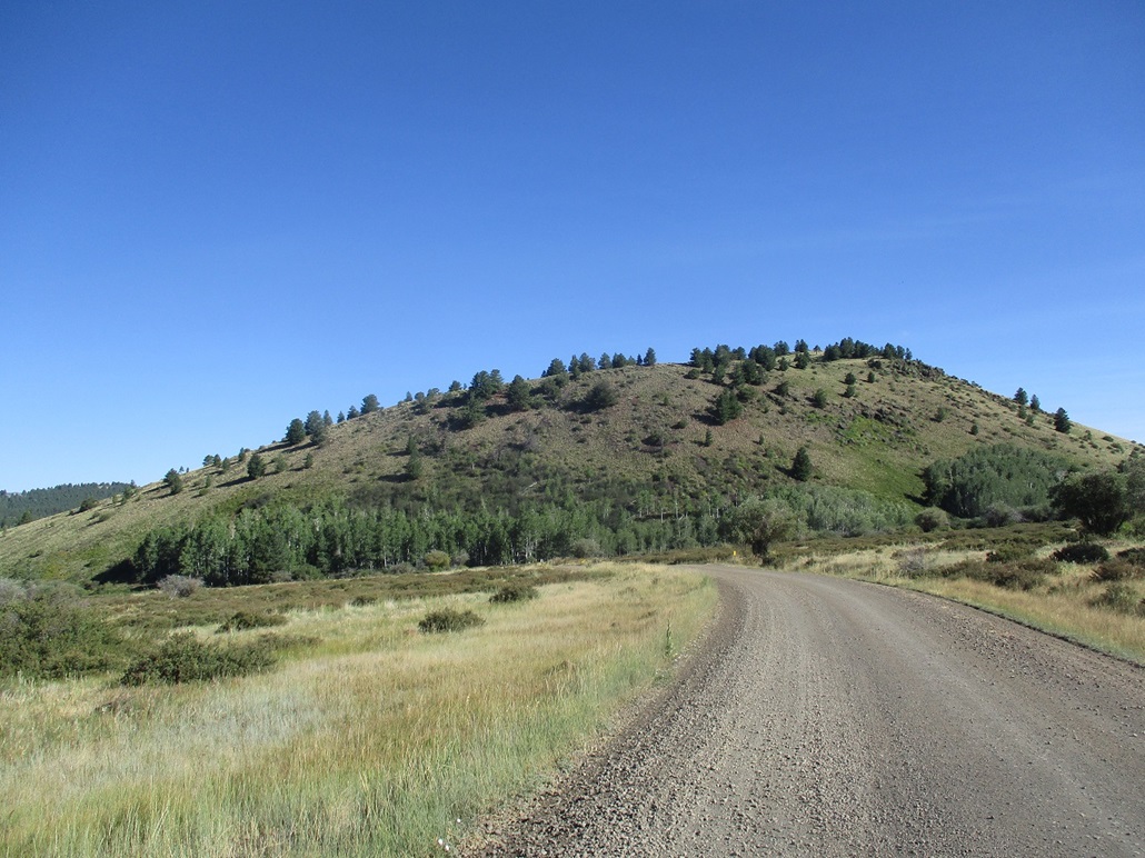
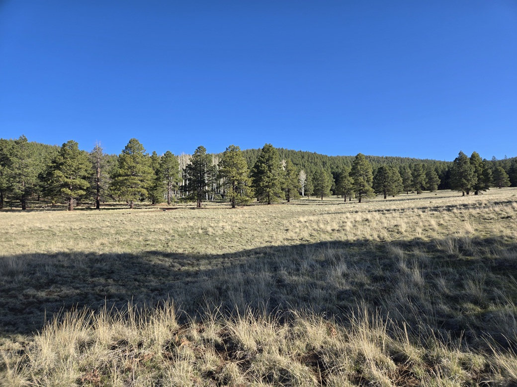
I followed FR-151E, the road zig-zagging at first, then turning northwest, gaining up to a saddle between Peaks 8877 and 8993. This saddle is at 8,630 feet elevation. The road then descends and soon, comes to a Y-junction that I was not expecting as it did not appear on any maps I had studied. I guessed and went right. This choice worked well, as the road cut northeast then north, topping out onto a grassy meadow at the saddle between Hochderffer Hill itself, and Peak 8993.
The roads in this area are a cross-country ski complex in winter. The road I followed at the Y-junction was signed as "Goshawk". Other signs on the trees were posted to direct the skiers, all about 9 feet above the ground, which means about at eye-level when there is snow here.
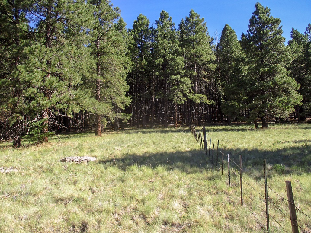
At the saddle, there is a fence, so I walked to it and the followed it north into the trees. This fence line formed an excellent path to follow, leading almost all the way up to the summit, about a mile from the saddle. Others must agree because there was a well-beaten footpath alongside it most of the way. Other than being slightly steep, I made good time. The route achieves a bump at 8,960 feet, drops about 40 feet, then up slope to the top. The fence ends about two hundred feet below the summit.
Once on the summit, I walked it to its western tip, then doubled back to the eastern side, where the highest ground should be. I wandered quite a bit, tagging and kicking any mound that looked promising. I found a cairn, built by the famous explorer Mattias "Redbeard" Stender a couple years ago. I took a few photos, then started down.
I was about where the fence line resumed when I heard voices. It was the couple who had pulled up at the trailhead with me. We got to talking and discovered that the man is also a devoted peakbagger with a profile at Lists-of-John. He had seen my name there too. We chatted for about fifteen minutes, talking about our favorite areas. He's a long-time climber in the Flagstaff area who's climbed virtually every bump on the San Francisco Volcanic Field. They were very nice and it was a fruitful and enjoyable chance encounter.
I simply followed the fence back down to the saddle and open meadow. Without my poles, I had to watch my footing and ankles carefully, but I did fine. I retraced my route, getting back to the saddle between Peaks 8993 and 8877. My next goal was Peak 8993, or Hummingbird Hill, as the man told me it is called by locals.
Update (Dec 2025): Lidar at the 1-meter shows that a point to the northeast is slightly higher, which I did not visit. In 2026, I retruned to hike to the new highest point. Scroll down for that chapter.
Elevation: 8,993 feet
• Prominence: 373 feet
• Distance: 0.5 mile
• Time: 20 minutes
• Gain: 360 feet
• Conditions: Windier, more cloudy
PB
•
LoJ
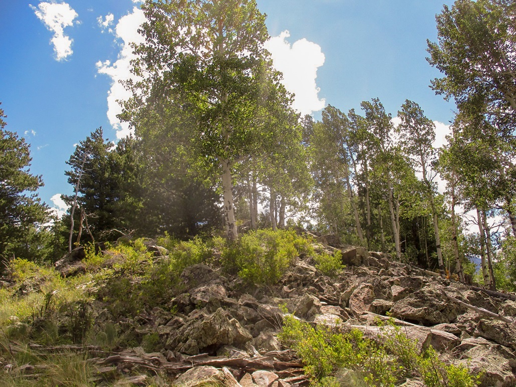
At the 8,630-foot saddle, I simply walked into the trees, then up an open slope. It was steep but easy, and rockier the higher I ascended. Toward the top ridge, the rocks piled up in earnest, a true talus band. The rocks were volcanic, formed into all sorts of odd shapes. Most were solid but some of them, even big ones, moved or teetered when I stepped on them.
Once on the ridge, I angled right and followed it up to the summit. The top-most rocks were in a small patch of scrub, while a cairn and register were located about twenty feet away in a more open area. The log was placed here by the Lilley-MacLeod duo, but was water-damaged and held just a few names going back about thirty years. The last to sign in were hunters from about a year ago.
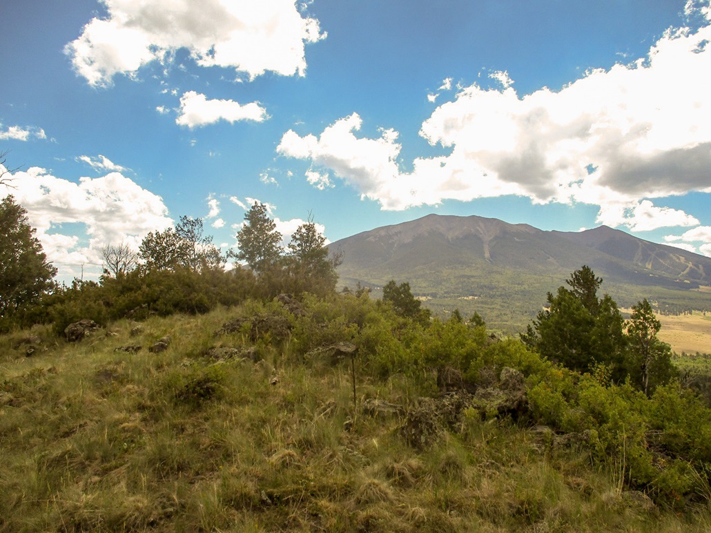
The wind was blowing heavier up here, and the clouds thick enough to shade out the sun for minutes at a time. The views up here were open to the east, where I had a view of the giant mass of Humphreys Peak. I signed my name into the register, but did not stay long. I descended down the slope, not following my ascent track. It did not matter as I would hit the road no matter what.
The downhill hike went well and soon, I was down below the steep slopes. I found the road, but angled alongside it, cutting off some distance slightly. Once on it properly, I walked it back to my vehicle. I had been gone a little over two hours. The side trip up Hummingbird Hill added about a half-mile of distance to the hike, which I gauged to be about 4.5 miles round trip.
Elevation: 8,772 feet
• Prominence: 332 feet
• Distance: 1 mile
• Time: 45 minutes
• Gain: 440 feet
• Conditions: Sun with clouds and a breeze
PB
•
LoJ
Fern Mountain is a mile to the south of the FR-151/151E junction. I drove to where FR-794 intersects FR-151 and parked in a small pullout in the trees. I was moving quickly, no more than ten minutes after completing my last hike.
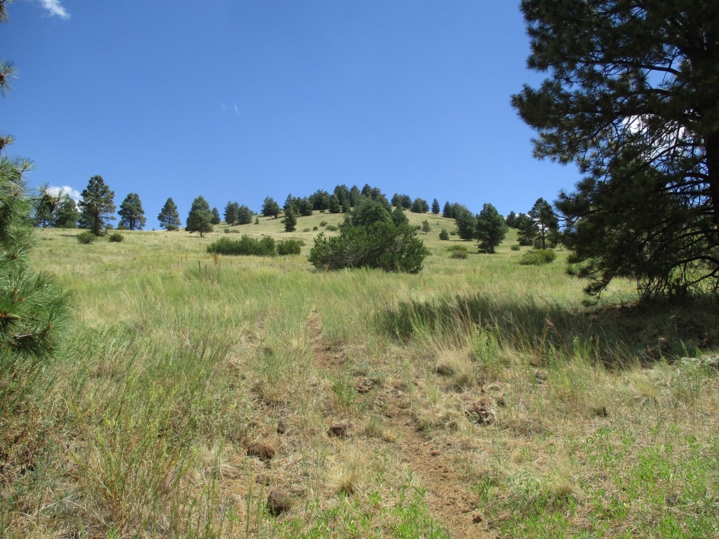
There is a trail opposite where FR-794 meets FR-151. I followed it upslope. This would be a short hike as the top is in view, a half-mile away and about 450 feet higher. Also, the slopes were open grass, not thick forest.
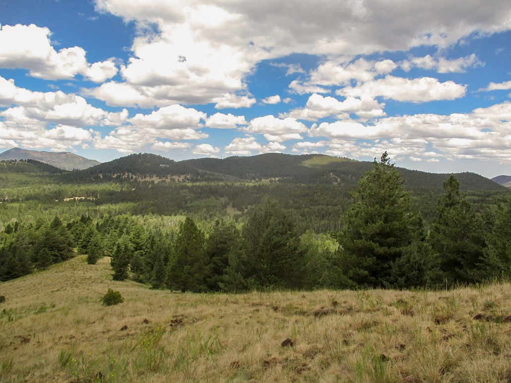
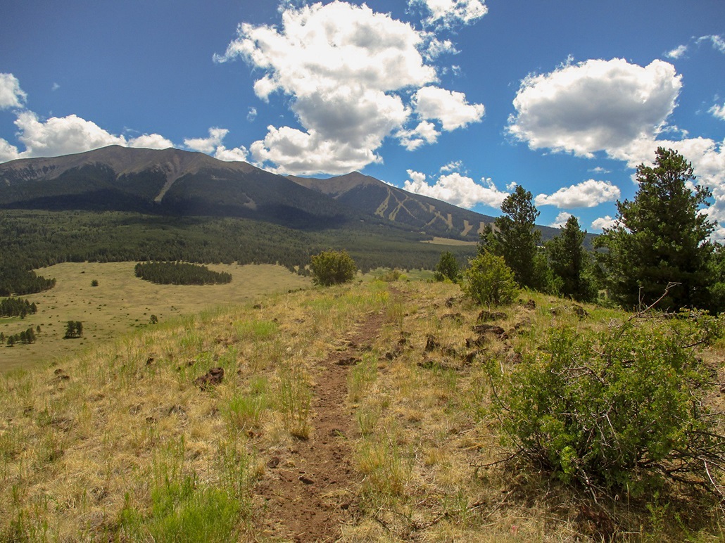
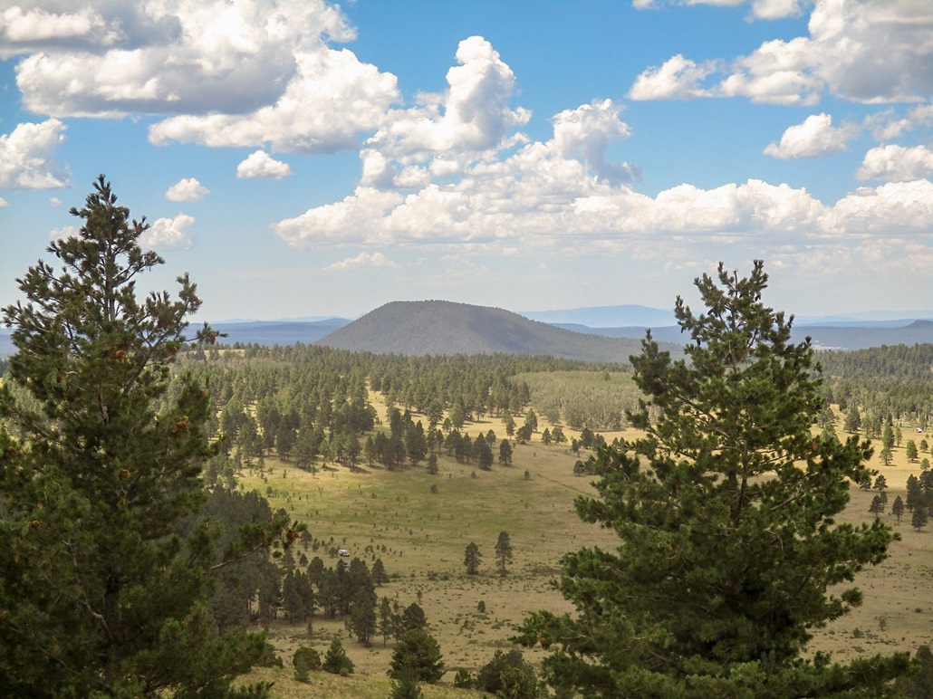
The trail aims for the top, then steepens for the last little bit. It enters a small batch of trees then opens up again, curling around to the top. Views up here were excellent, the best I had of the three peaks. Humphreys Peak rises to the east, dominating everything that way. There was a steady breeze but conditions were pleasant, temperatures in the 70s.
I hiked down the same way, and met a couple with their big black german shepherd dog who started barking at me and leapt for me, being held back by his human dad. I was not scared. The dog was doing what he'd been trained to do.
I was back to my car a little before noon. This hike had gone fast and was enjoyable mainly because it wasn't in thick forest the whole time. I was done with my goals for the day and pleased things had gone well.
I drove through the heavy traffic in Flagstaff, then on home to Payson, arriving about two hours later. Cumulatively, I hiked 5.5 miles, possibly 6, with nearly 1,500 feet of gross elevation gain. It was a good workout.
Date: April 22, 2026
• Elevation: 9,164 feet
• Prominence: 628 feet
• Distance: 4.3 miles
• Time: 2 hours
• Gain: 674 feet
• Conditions: Sunny and calm
PB
•
LoJ
In late 2025, a massive analysis of Arizona peaks using the 1-meter Lidar digital data showed that a ridgepoint about a quarter-mile to the northeast was higher by a couple feet. When I was here in 2020, it never occurred to me to hike over to it and tag it just to be assured. So here I am, almost six years later, to correct my error.
It was my Wednesday between teaching. I had originally planned for a couple peaks near the Lake Roosevelt Dam. I was looking at over 100 miles from Tempe to those peaks. For an extra thirty miles, I could be up in the high country, so I decided to go for it. Frankly, some hiking in the trees and higher elevations would be welcome.
I left Tempe at 7:30 p.m. and was in Flagstaff close to 10 p.m.. I stopped for gas and basic snacks, then proceeded northwest on US-180 to Coconino Forest Road 794. This road is 11.7 miles beyond the last light at Schultz Pass Road. In the darkness, I rolled in and found an open spot amid the trees and parked. This would be my camp. It was past 11 by now.
It was too cold (40s, with lows into the 30s) to sleep outside, and also too breezy. I just slept as best as I could in the front seat. I got about four hours of tolerable sleep, and was up before dawn. I waited for the sun to rise a little more before leaving the site.
I drove to FR-151 and then parked where FR-151E branches west, gated closed for now. I suited up and started hiking a little before 6 a.m.. It was sunny with wispy clouds, a steady breeze, and temperatures in the high 30s.
I followed the road northwest, bending around Hummingbird Hill and locating myself to the open meadow at the saddle below the peak. I then followed the fenceline uphill into the trees, just like I did in 2020.
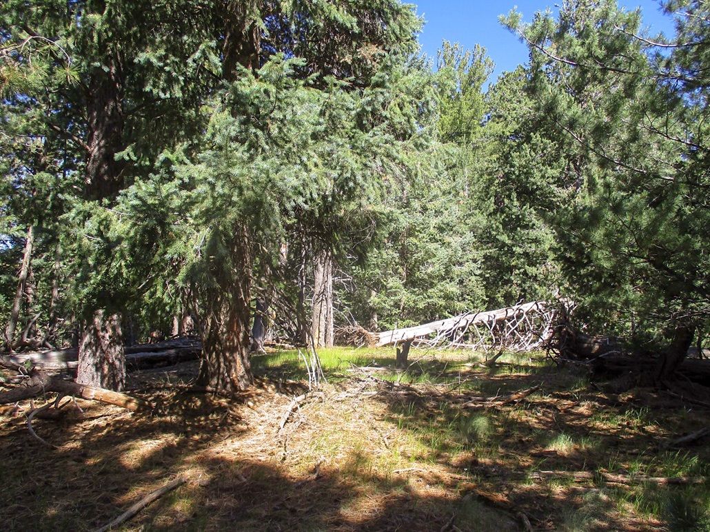
The fence goes almost to the top, and is barely standing for long stretches, deadfall having fallen over it. I couldn't see 50 feet in any direction and just blindly followed the fence. When the fence ended, I was close enough to the high ridge to see daylight between the trees.
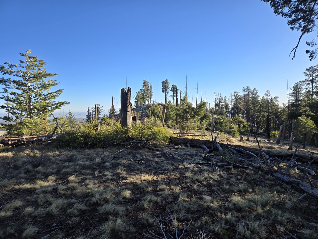
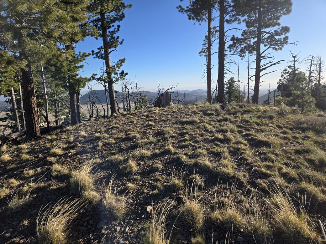
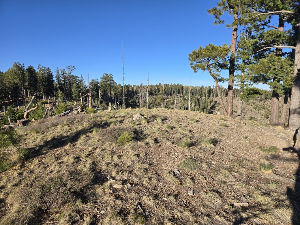
I angled right and down, then angled left and slightly up, to the saddle that connects the "old" highpoint to the new one. The trees weren't as thick here and I had better views. The highest point is a rounded hump with a few trees, but open with views.
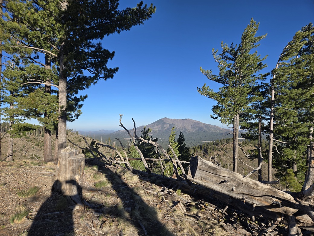
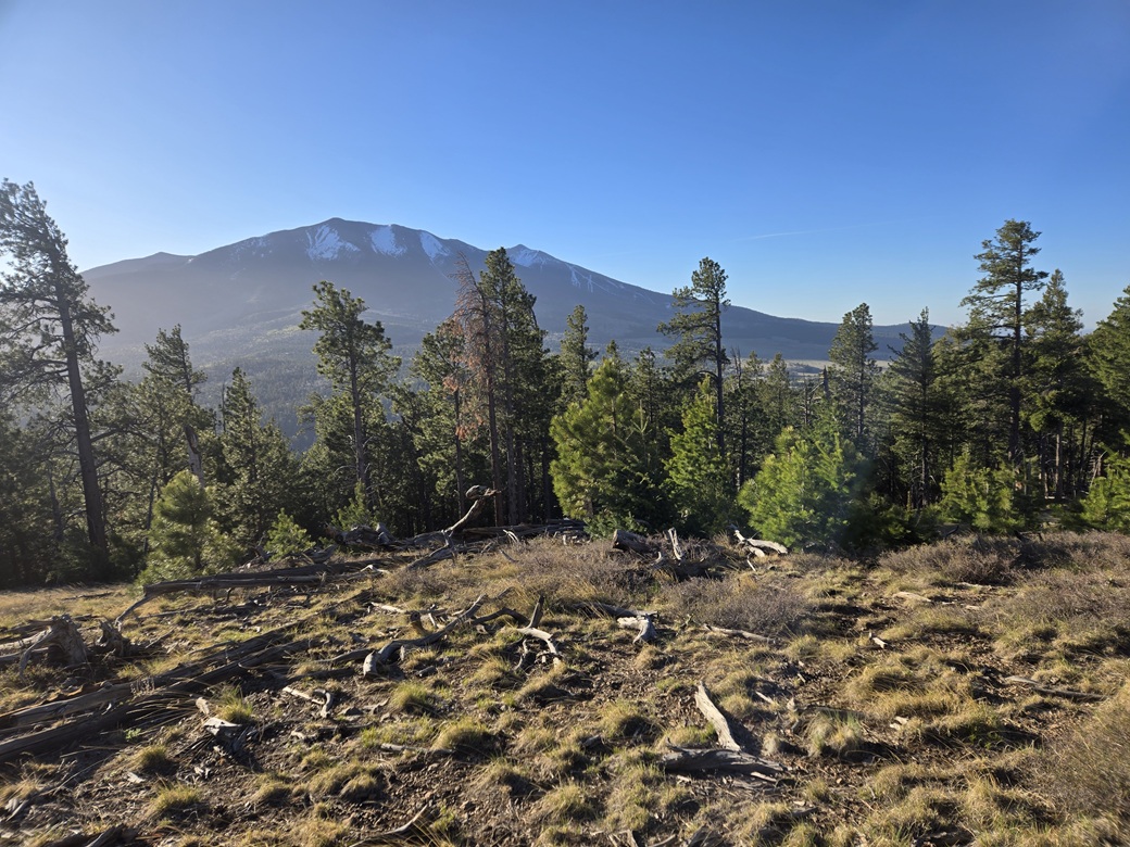
The one-way hike took about an hour. I signed into the log, set here just a couple months ago and already with a handful of signatures, people like me re-doing this highpoint properly. I had a fine view of Kendrick Peak and of Humphreys Peak. It was breezy and I did not stay long.
Going down, I got off my original bearing and trended a little more southeast, which wasn't a problem. I could see Humphreys at times through the trees and I knew the roads would be nearby. In time, I was down out of the trees and in a broad meadow. I walked some roads back to FR-151, then back to my car. This was actually a shorter hike by about a half mile compared to my hike in.
It felt good to get back this peak. It's not a great peak and the heavy forest limits views and appeal. I've done almost all the other nearby peaks, so I set my sights on Mooney Mountain, about a thirty mile drive away.
|


|