
The Mountains of Arizona
• www.surgent.net
|
| Thunderbird Peak |
• Hedgepeth Hills, Maricopa County • Thunderbird Recreation Area • Highpoint: City of Glendale |
|
Date: August 24, 2013
• Elevation: 1,862 feet
• Prominence: 422 feet
• Distance: 1 mile
• Time: 45 minutes
• Gain: 520 feet
• Conditions: Warm, humid with clouds
Arizona
•
Main
•
PB
•
City HPs of Maricopa County
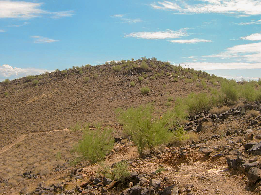
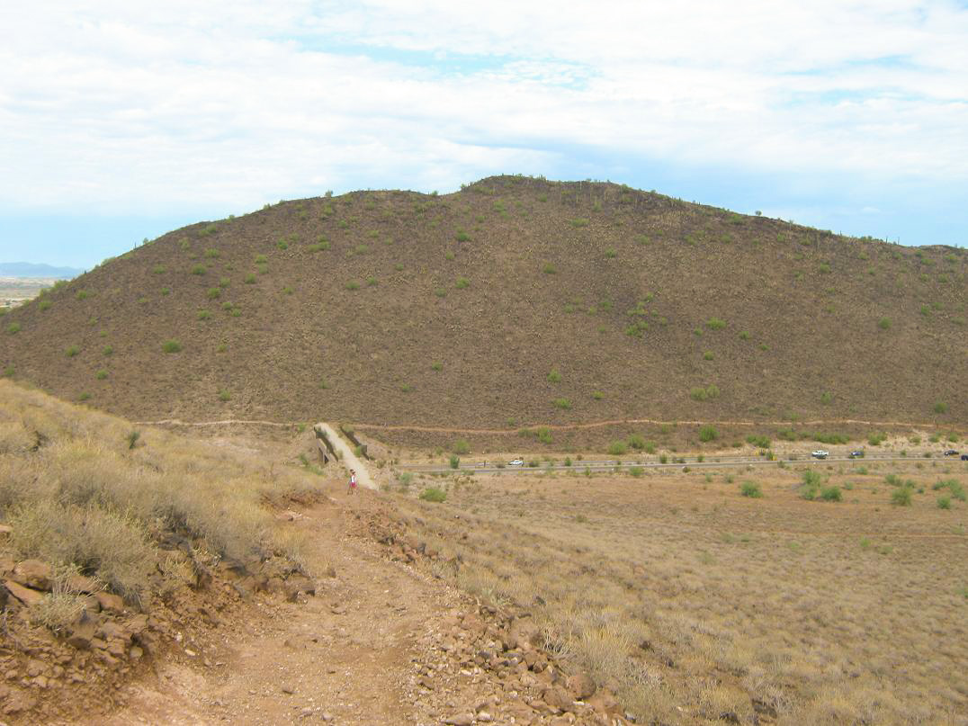
The Hedgepeth Hills are a small grouping of rocky mounds located in north Glendale, at the intersections of 59th Avenue and Pinnacle Peak Road. The highest point in the hills is slightly over 1,900 feet in elevation and lies inside Phoenix, while another hilltop, elevation 1,862 feet, is the highest point in the city of Glendale. The hills are enclosed within the Thunderbird Recreational Area, and feature a few miles of trails. This hilltop is apparently called Thunderbird Peak.
My interest in this set of hills came about when I learned that the city highpoint of Glendale is found here. That was sufficient to motivate me to drive 30 miles to explore these hills. For some reason, I'm perfectly okay with driving 300+ miles to hike a peak, but find it difficult to drive just 30 miles. When I'm just looking for a workout hike, I have all sorts of options closer to Scottsdale. In my 21 years living here, I’ve been to Glendale perhaps a dozen times total. I just never bother going there.
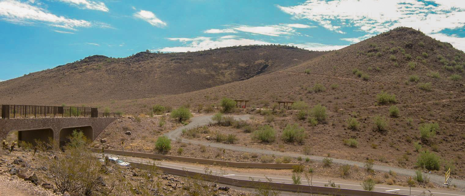
Nevertheless, I was getting stir-crazy for a hike, not having done anything in a month. The day was supposed to be "cool"; that is, highs only in the 90s. There were lots of clouds and the air was very moist. The hike itself wasn’t too long, so I felt conditions were right to explore these hills. From Scottsdale, I followed the Loop-101 freeway north and west to 59th Avenue, then north a mile or two into the hills. I parked in the public lot on the west side of 59th Avenue, before the road bends into Pinnacle Peak Road.
I started my hike about 10:30 a.m. My destination was the pronounced hill to the southeast of the 59th Avenue-Pinnacle Peak Road alignments. To get there, I hiked east on a gently-sloping path that paralleled the road, aiming for a bridge up the way. I crossed it and walked toward some ramadas. From here, I found the trail I wanted, which led to the top of this hill. There was a steady stream of hikers, including children, plus people walking their dogs. I’m sure the relatively-pleasant conditions had something to do with that.
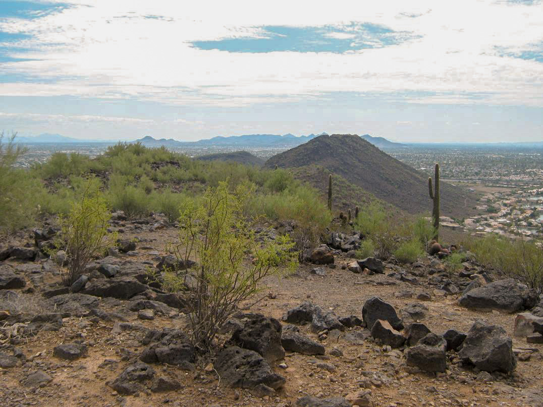
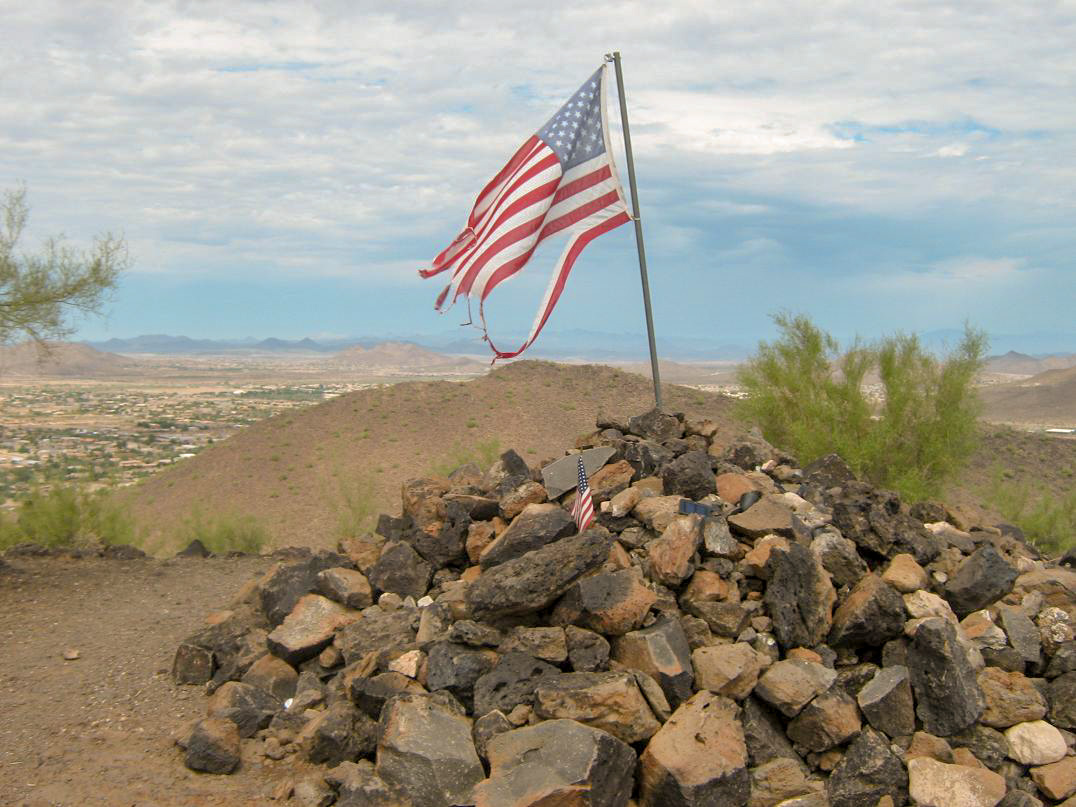
From the ramadas, the trail goes right, then turns and makes one very long, sweeping traverse up the open slopes, before turning again to meet the main ridge. Then it turns one last time, the last few hundred yards leading to the top, which features a large rocky mound topped by two flags. The one-way hike took me about 20 minutes from my truck, covering about a half mile with about 500 feet of gain.
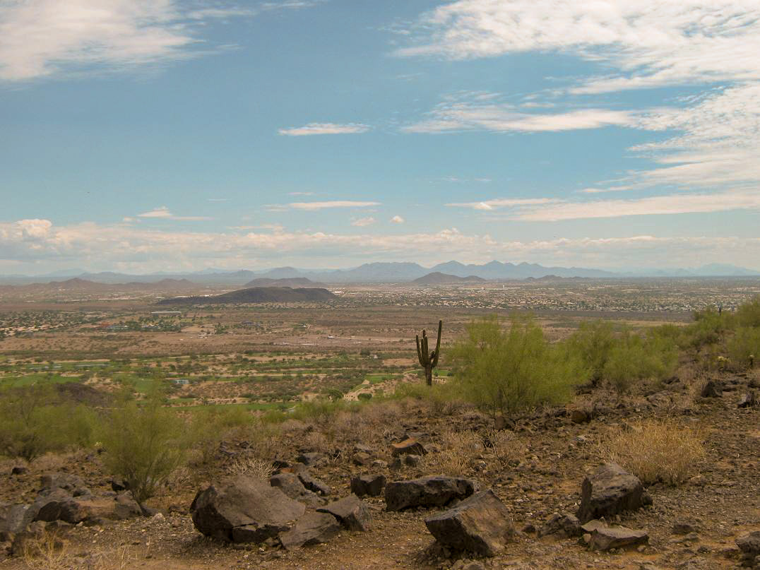
On the summit, I shot a few photos and took in the view, spending about 5 minutes here. I tagged the top rock, then started down. The hills are covered in a layer of blackened lava rock, with low shrubs and grasses. The usual small cactuses and palo verdes also are found here, too.
The hike back went well and I was back to my truck soon, the round trip 45 minutes total. Although not the most strenuous hike, I worked up a good sweat and also felt the hiking muscles coming back to life. These hills have their charms, and there’s another trail I'd like to explore on some later date. Hopefully, it won’t be another 21 years before I get around to it.
|

|