September 30, 2018
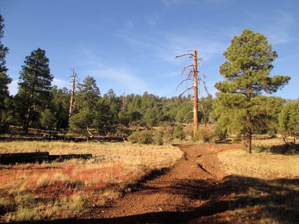
Big dead tree where the road ends, kind of
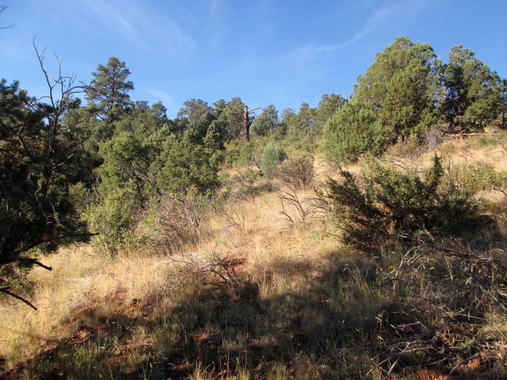
Another dead tree to aim for
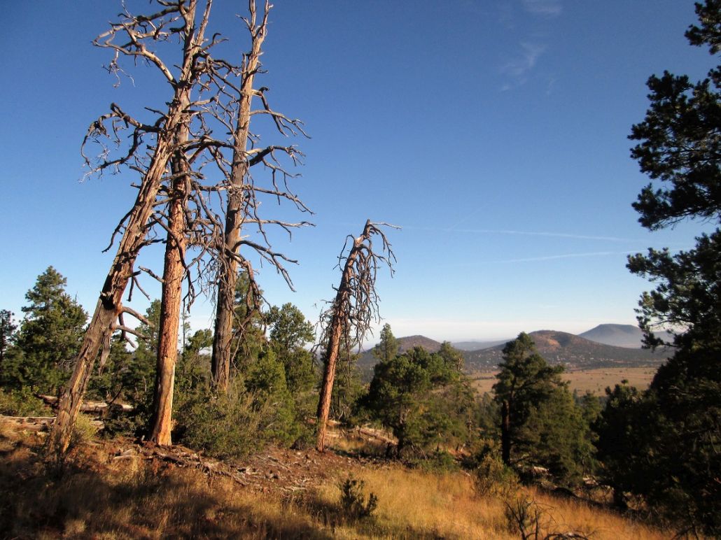
A family of dead trees
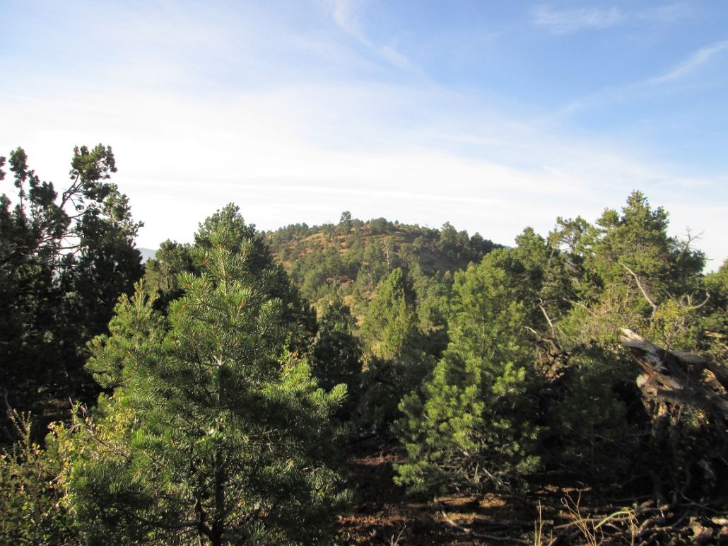
The top from the hill to the north
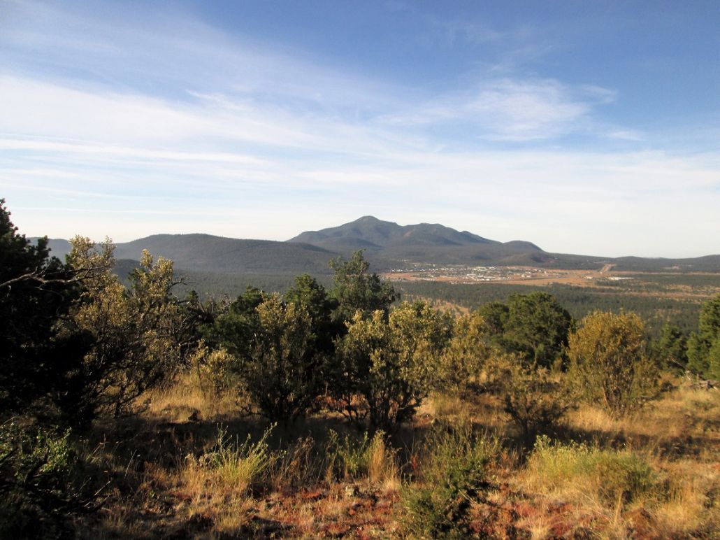
View of Bill Williams Peak from the top
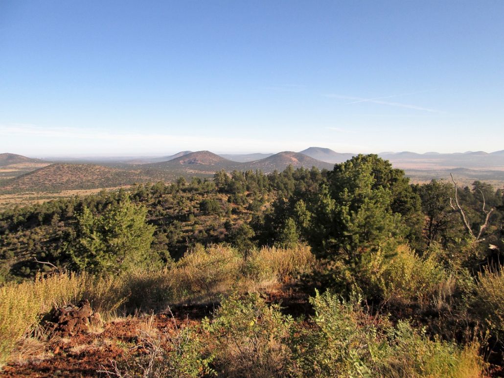
North view, the two boob-like peaks have no names. Cedar Mountain is in back
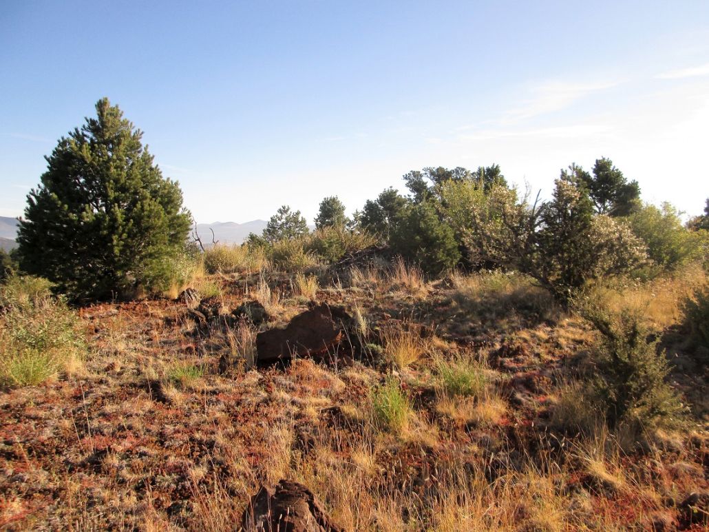
The top itself
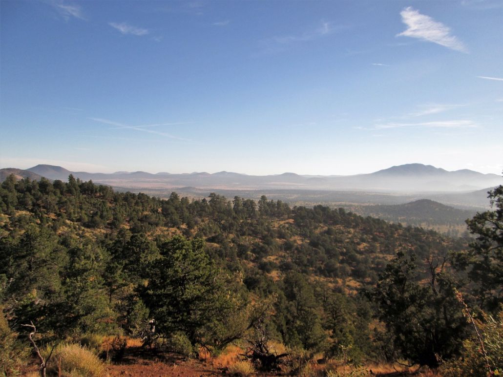
Northeast view, Sitgreaves Mountain
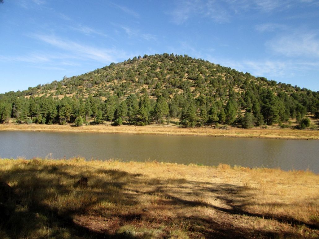
View of Moore Hill from Lake Kaibab
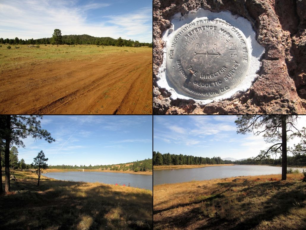
View of the hill from where I entered off the highway, the witness marker, and more views of Lake Kaibab: this end, and that end
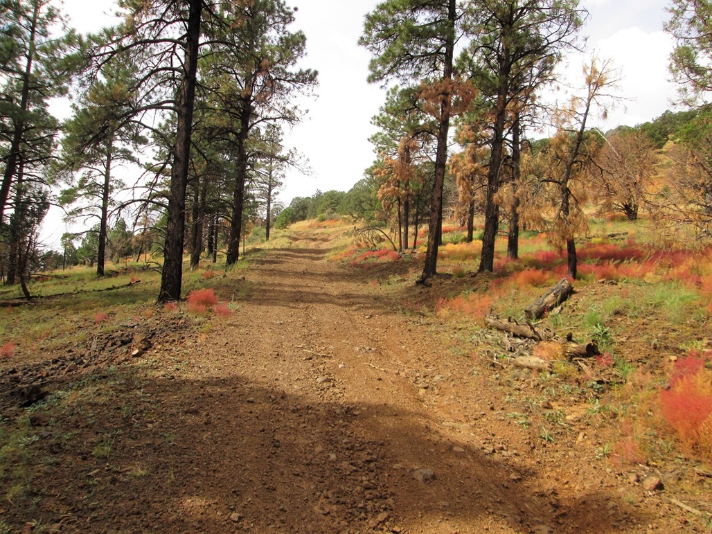
Frenchy Hill: Starting up the road
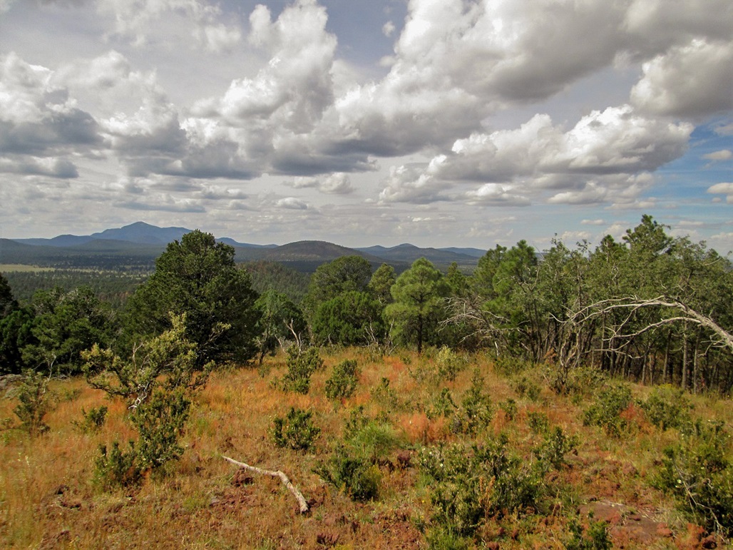
View southwest toward Bill Williams Peak and surrounding hills
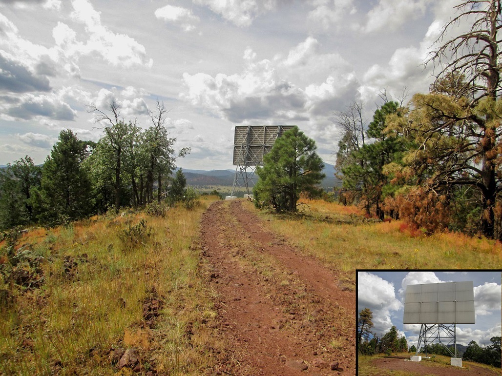
The thing on top
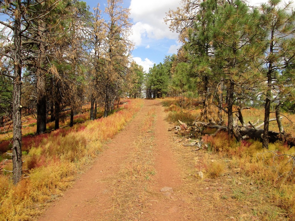
The highpoint area
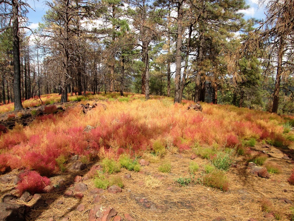
The highpoint rocks and lovely colorful scrub
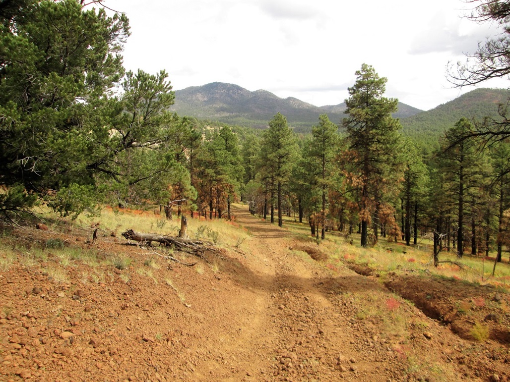
Walking back down. That's Sitgreaves Mountain, with Bald Mountain to the right
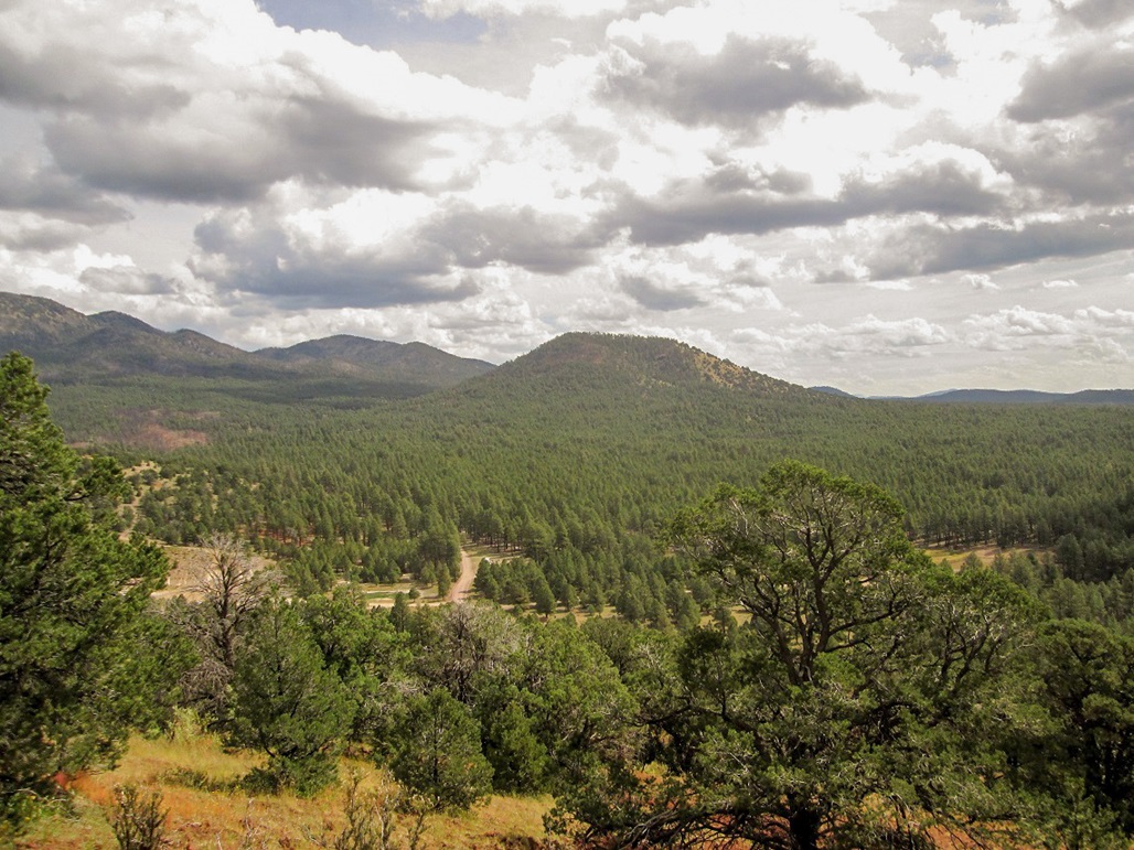
Bald Mountain as seen from Frenchy Hill
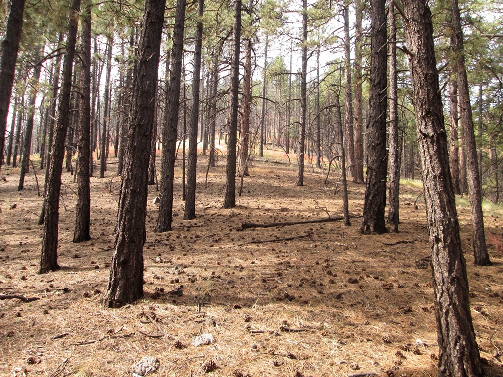
Initial bit through the trees
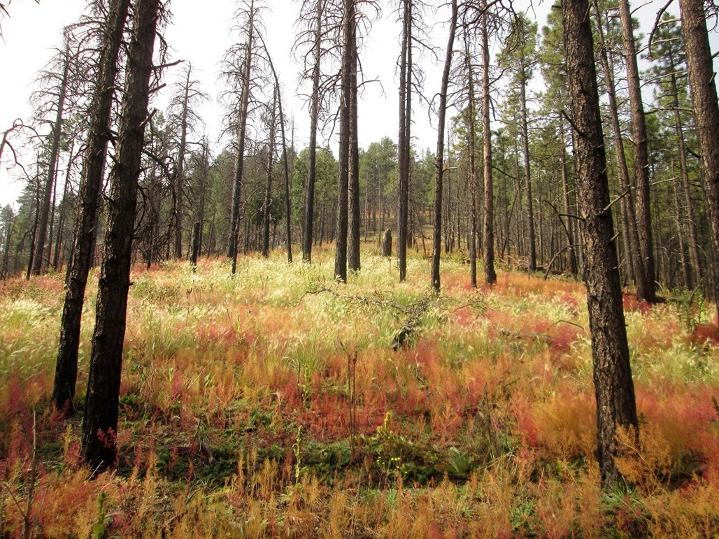
Gets steeper and more colorful
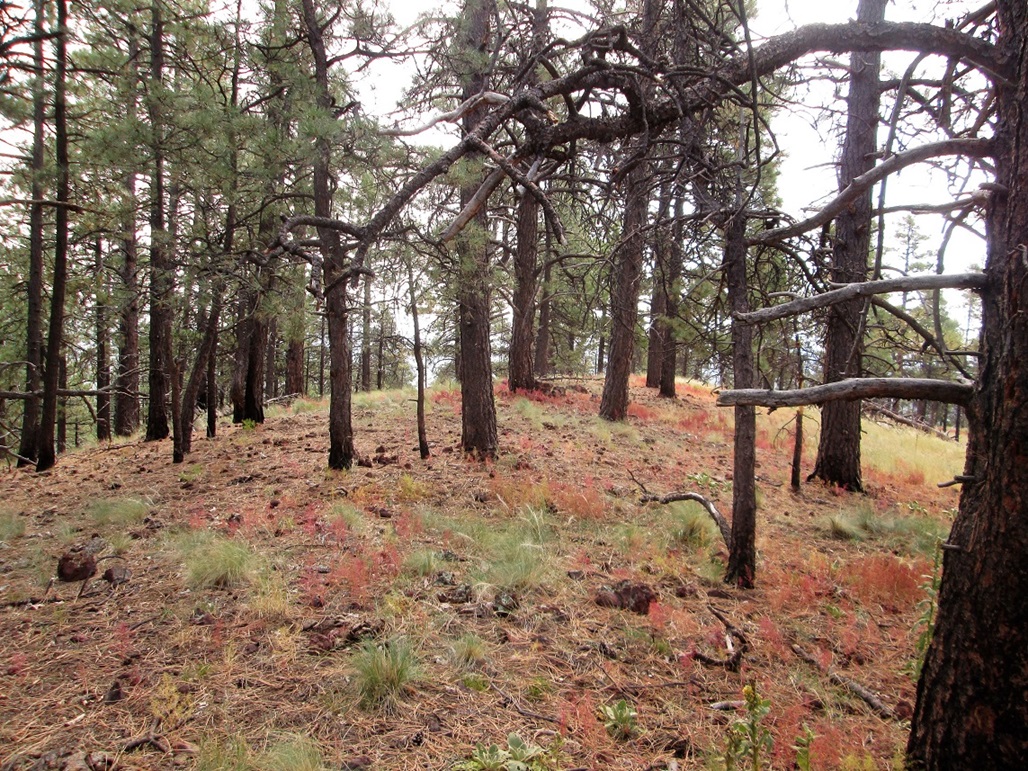
The top
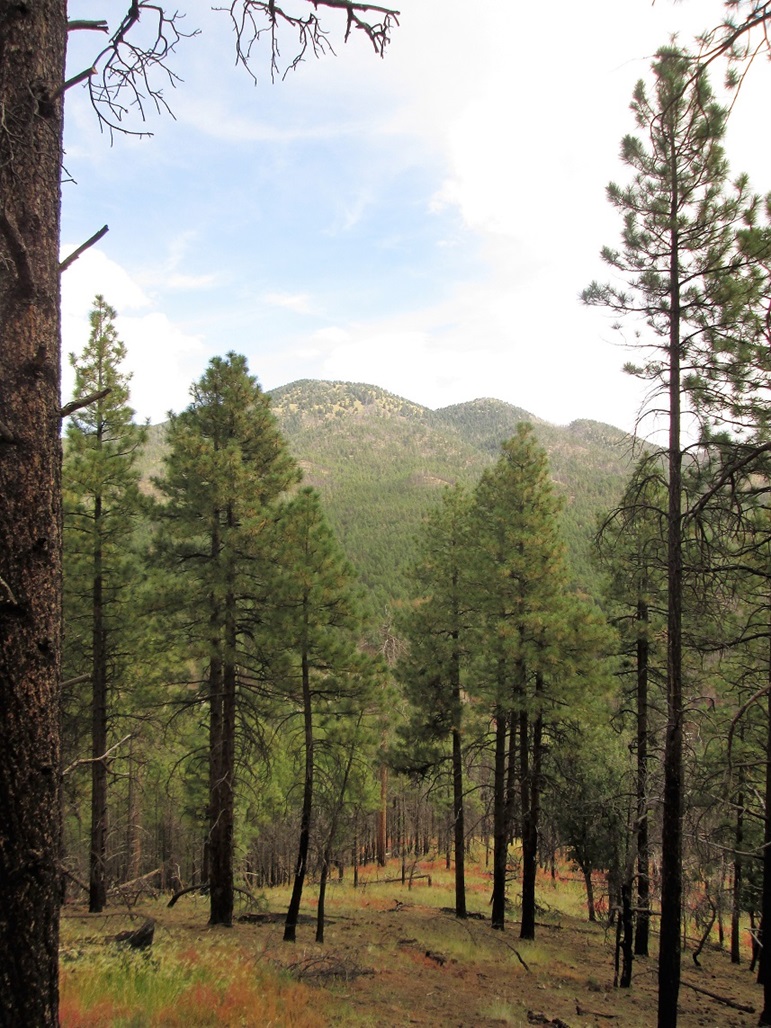
Hike down, looking over at Sitgreaves
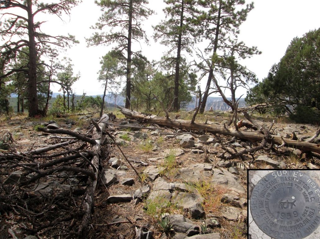
The top, with the witness marker inset
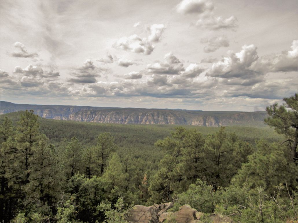
West view toward the cliffs of Oak Creek Canyon
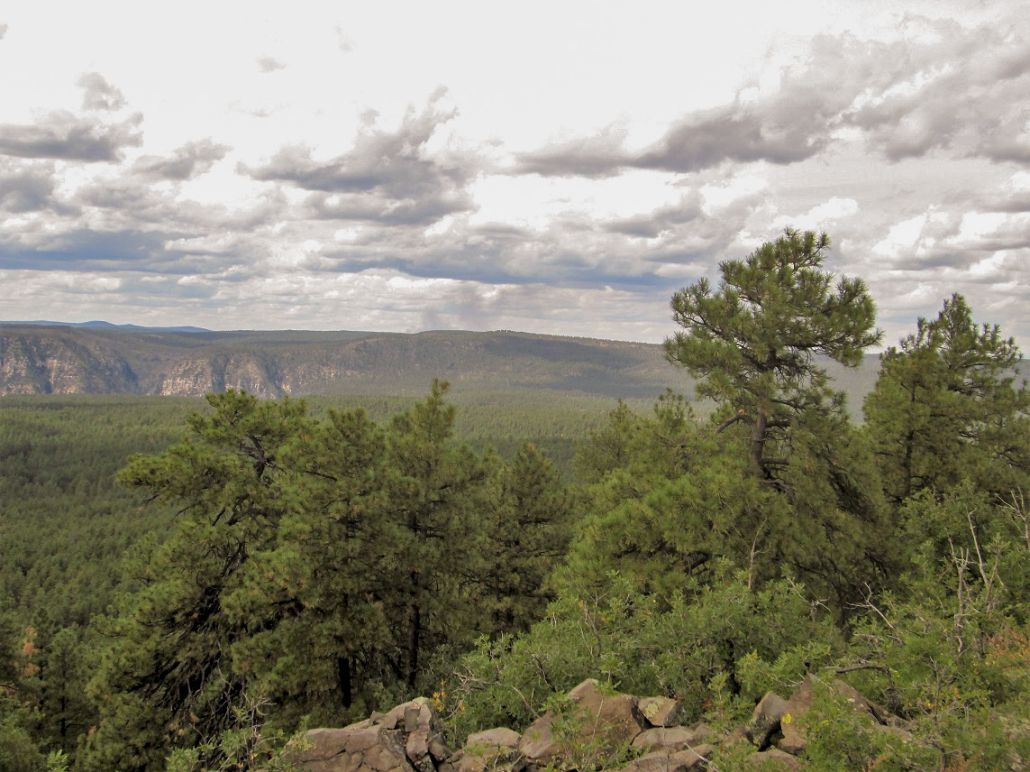
A little to the northwest, smoke from the Platypus Fire can be seen
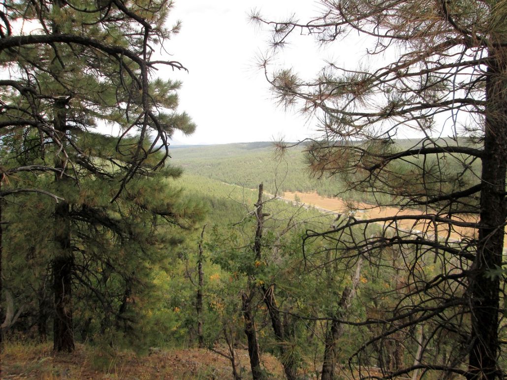
Interstate-17 cuts a swath through the forest
Arizona Page • Main Page • Trip report
(c) 2023 Scott Surgent. For entertainment purposes only. This report is not meant to replace maps, compass, gps and other common sense hiking/navigation items. Neither I nor the webhost can be held responsible for unfortunate situations that may arise based on these trip reports. Conditions (physical and legal) change over time! Some of these hikes are major mountaineering or backpacking endeavors that require skill, proper gear, proper fitness and general experience.