Phon D. Sutton Riparian Area & Coon Bluff Hike
Salt River Valley, Arizona • November 22, 2021 |
|
|
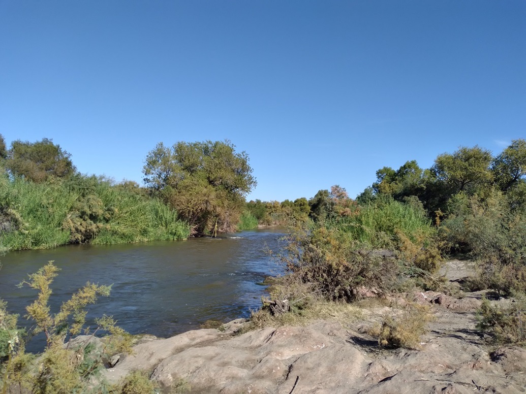
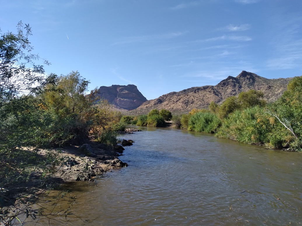
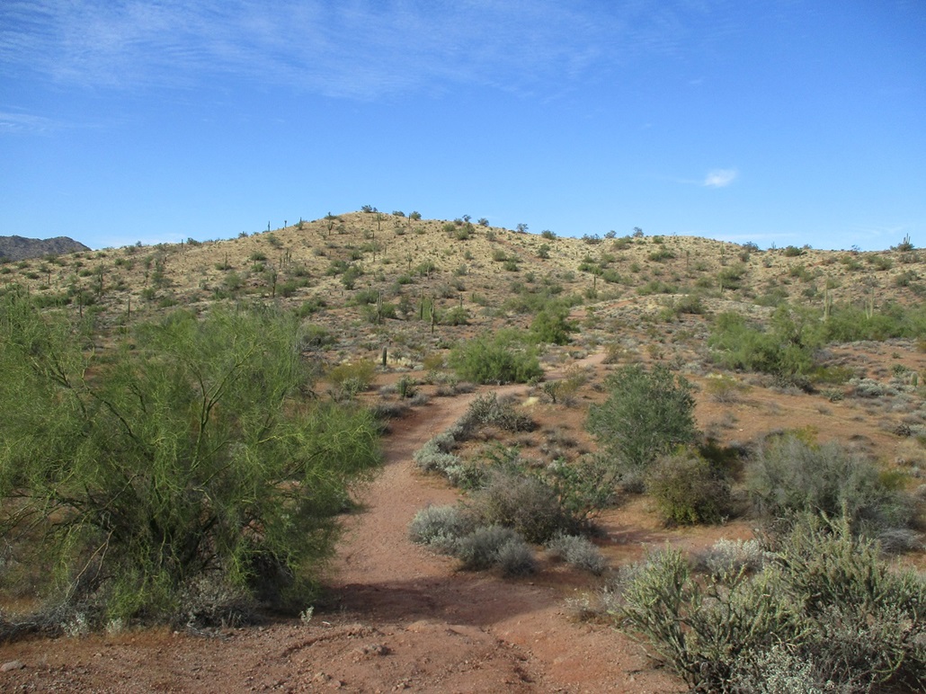
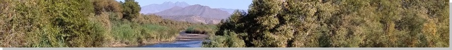
I had to head up to Payson for a few hours this morning, and on the drive back to the Phoenix area, with time to burn, I took the scenic route, taking the Bush Highway exit off the Beeline Highway, and following it down toward the Salt River. A few miles later I turned onto the access road to the Phon D. Sutton Riparian Area, near the Coon Bluffs that from the Salt River. The Sutton area is where the Verde and Salt Rivers merge. Phon D. Sutton was a member of the Maricopa County Parks Board, and died in 1959.
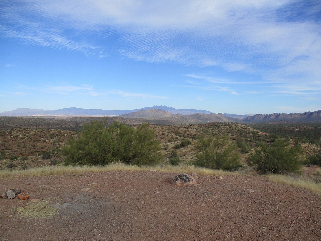
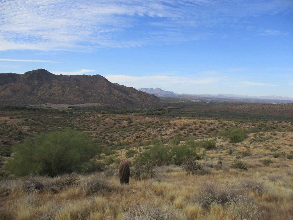
Being a monday, the very large parking lot was virtually empty, less than ten cars in a lot that can hold a hundred-plus cars. I pulled in, got my shoes on and then walked down to the river. I didn't hike so much as stroll, going up some rocks for views, and wandering alongside the water. There were a handful of people, some fishing, some just out for a walk or picnic. It was prettier than I was expecting and I spent nearly 3 hours here, doing nothing, letting my mind rest.
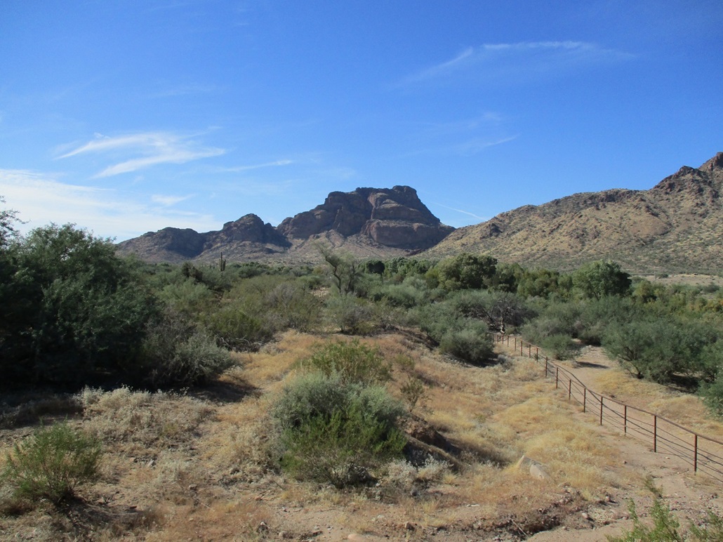
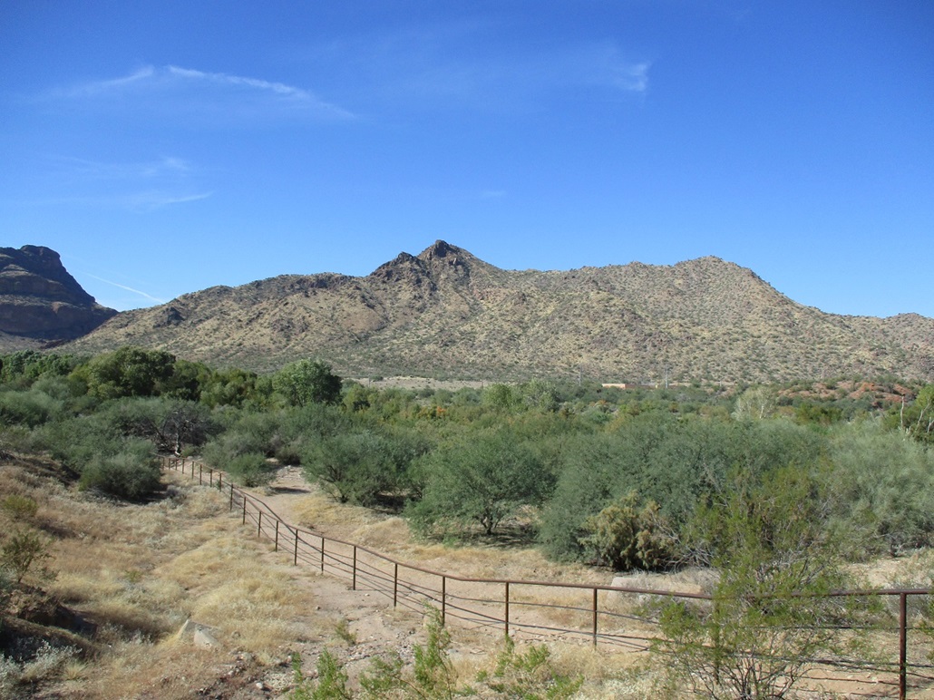
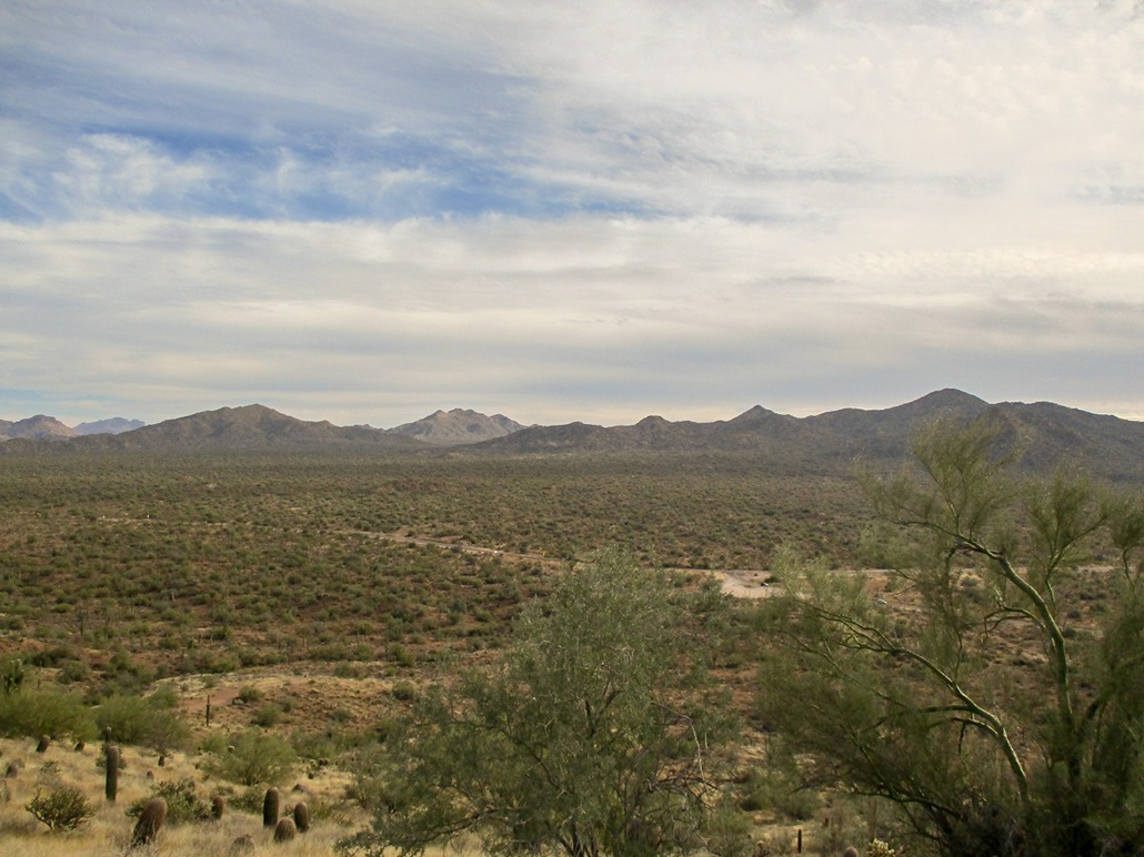
Afterwards, I drove back to the Bush Highway and parked in a pull-out, then hiked an easy trail to the top of Coon Bluff for photographs. I had not been back to the bluffs in twenty years, back when our Mountain Rescue team practiced rappeling on its north-facing cliffs.
|
(c) 2021 Scott Surgent. For entertainment purposes only.
|