The Mountains of Arkansas
www.surgent.net |
| Magazine Mountain • Signal Hill |
• Highpoint: State of Arkansas • Highpoint: Logan County • Highpoint: Ouachita Mountains • Ozark National Forest |
 A winter wonderland atop Arkansas |
Date: January 8, 1997 • Elevation: 2,753 feet • Prominence: 2,133 feet • Distance: 1 mile • Time: 1 hour • Gain: 300 feet • Conditions: Snowy and gorgeous • Teammate: Couple of local guys
Main
•
PB
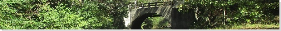
Magazine Mountain is a flat-topped peak in the Ouachita Mountains in northern Arkansas. A small hill atop the plateau-summit called Signal Hill is the peak's, and the state's, highest point. The area atop Magazine Mountain is one big recreation area with roads, trails and a big lodge.
I started today in Waynesboro, Missouri, where I took refuge to wait out a sudden snowstorm that blew through the region yesterday and last night. When I awoke, nine inches of snow had fallen and most of the roads were not yet plowed, so I was forced to simply wait at the hotel until midmorning. I was near Interstate-44, and one lane of the highway in each direction had been plowed.
I eased onto the interstate, aiming for Branson, about 90 minutes away under normal conditions. Traffic was minimal, and I got in behind a big truck that went about 40 miles per hour, so that's how fast I went. But the truck served a purpose in that it mashed down the snow better. I stayed behind him, being impossible to pass for now, for a couple hours. As I neared Branson, the snow seemed to mitigate, although the surrounding hills were under a layer. The day was clear and cold, but warm enough to help melt off the snow.
In Branson, I drove south, entering into Arkansas. I kept to the main highways. Here, the snow wasn't too bad. The roads were completely snow free and only some dustings on the surrounding hills and pastures. I followed the main roads through the town of Paris, travelling south toward Magazine Mountain, which is about 2,200 feet higher than the town, and not surprisingly, with more snow still on it.
I spent some time driving the roads atop the peak until I could locate the parking area and trailhead for the short hike. The roads were a little slick and slushy, but I found the parking lot, being just me and one other vehicle. I soon met up with its occupants, two locals also out for a hike. We three hiked together the half-mile trail to the top.
The scenery was stunning due to the newly-fallen snow. The trees were mostly bare of leaves and held snow in its various crooks. The ground was also covered, and the whole place was quiet and still. The sky was blue with high clouds, the air temperature feeling like the low 40s. We spent about fifteen minutes up here and I was pleased to visit this peak under such unusual circumstances.
We hiked out and soon parted ways. They were a couple of decent fellows. I slowly drove down the roads back to civilization, heading south towards Louisiana. I stayed the night in Arkadelphia in Arkansas, then the next morning botched the short hike up Driskill Mountain in Louisiana. I later visited pals of mine in Baton Rouge, then flew back west the following day (amid another snowstorm that was slamming the west coast and interiors).
|
|