The Mountains of California
• www.surgent.net
|
| Mount Lukens |
• San Gabriel Mountains • Highpoint: City of Los Angeles • Los Angeles County |
|
Date: May 12, 2012
• Elevation: 5,074 feet
• Prominence: 1,794 feet
• Distance: 7 miles
• Time: 4.5 hours
• Gain: 2,800 feet
• Conditions: Pleasant
California
•
Main
•
PB
Mount Lukens is a "front range" peak of the San Gabriel Mountains that dominate the skyline north of the Los Angeles basin. The summit lies (barely) within the Los Angeles city limits and as a result, is the highest point of Los Angeles, the city. I chose the southern approach via Dunsmore Canyon in the city of Glendale. The length, about 7 miles round trip, seemed about what I was after, and it offered a combination of trail and road hiking with nearly 3,000 feet of gain. In other words, a good workout and a chance to hike in an area I never visit.
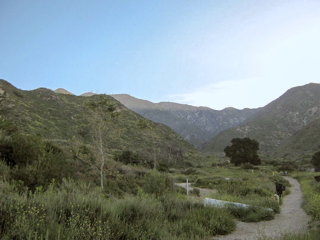
The real focus of my trip to Southern California was my dad's 70th birthday, my niece's 12th birthday, and mother's day, all conveniently happening on the same day. I drove across the desert into Southern California yesterday, stopping in Moreno Valley to hike Box Springs Mountain, then staying the night in Monrovia at my pal Schneider's place. I was up early this morning and on the road by 6 a.m., driving 25 miles to the Sunland-La Crescenta-Glendale area of town. In all my years living in SoCal, I never once visited this part of the city. I followed local roads to the George Deukmejian City Park, where I could park for free and access Dunsmore Canyon, and from there, the trails leading to Mount Lukens.
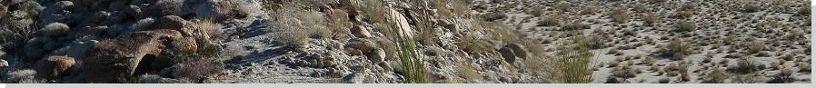
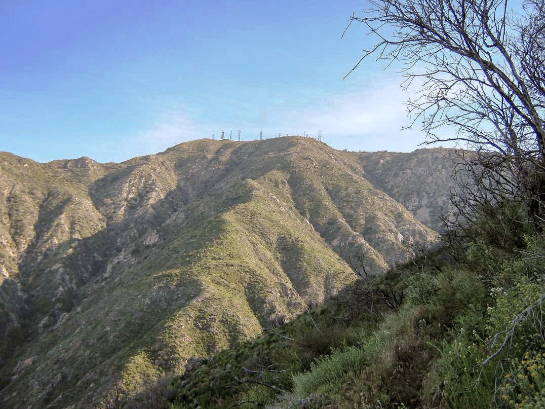
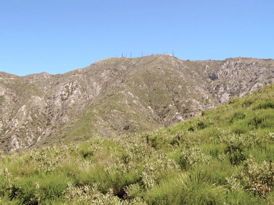
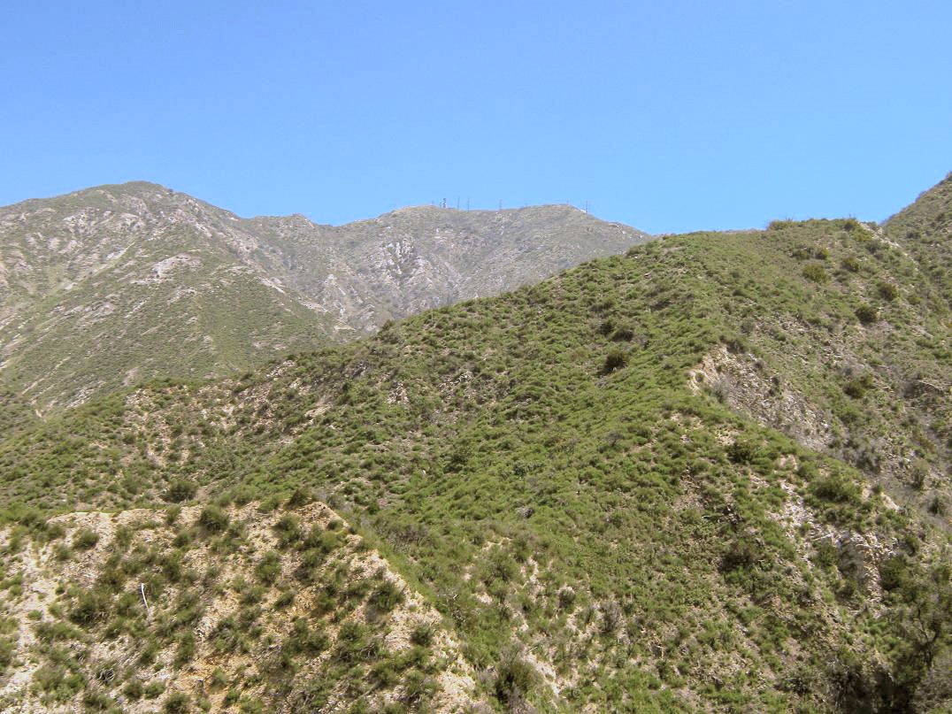
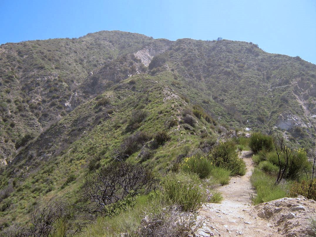
I showed up just before 7 a.m., just as a city worker came to open the gates to the park. I drove in and was walking by 7 a.m. sharp, the sun still hidden behind the ridges and peaks. The towers atop Mount Lukens were visible, way up above. I walked the old road that leads into Dunsmore Canyon. Just past a stone memorial and a big oak, the trail splits and drops into the main canyon watercourse. This is the start of the Crescenta View Trail. I followed the trail as it crossed a check dam and even through a trickle of actual running water. Quickly, I was on the other side, where I regained the trail amid thick knee-high scrub. I could see a guy ahead of me already way up on the trail.
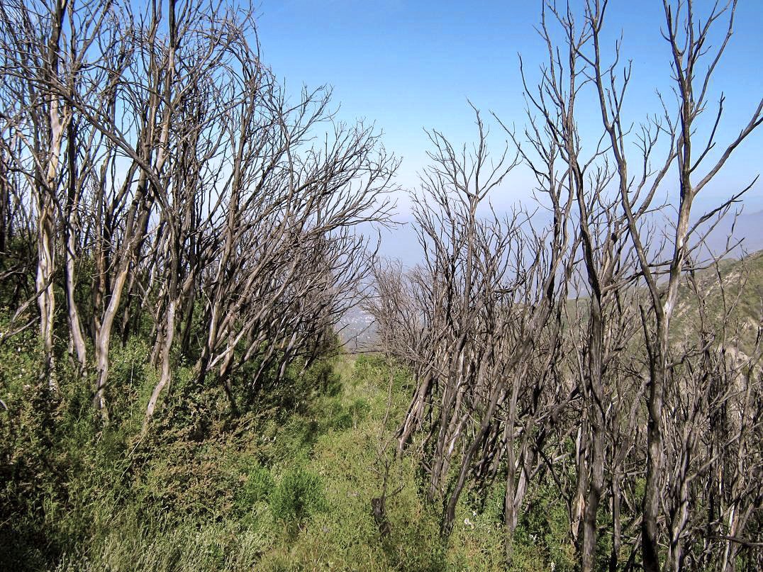
The Crescenta View Trail gains steeply up a prominent ridge and does not mess around. It is steep and features many switchbacks. The ridge itself is called Pickens Spur, a subridge of Mount Lukens. At first, the trail stays on the west-facing slopes of this ridge and the gradient of the switchbacks is gentle enough so that I could move consistently without needing to catch my breath every fifty feet. However, it is overgrown and the brush encroached onto the trail along its entire length. In 2009, the giant Station Fire burned the other side of the peak, and firefighters lit a back-burn on this side of the mountain so that the main fire would not come barreling down into Glendale. It worked, but it cleaned out all the bigger vegetation. What I was seeing now was the new stuff. It was soft and leafy, not the woody manzanita so common to Southern California peaks.
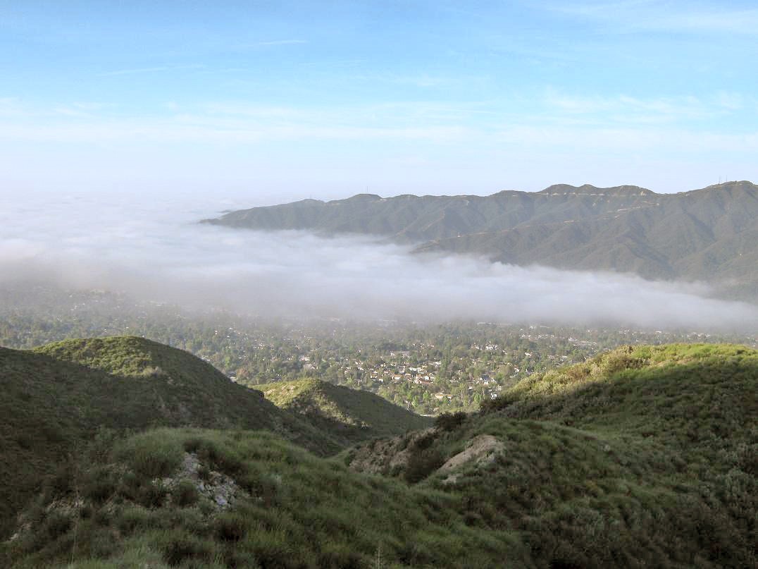
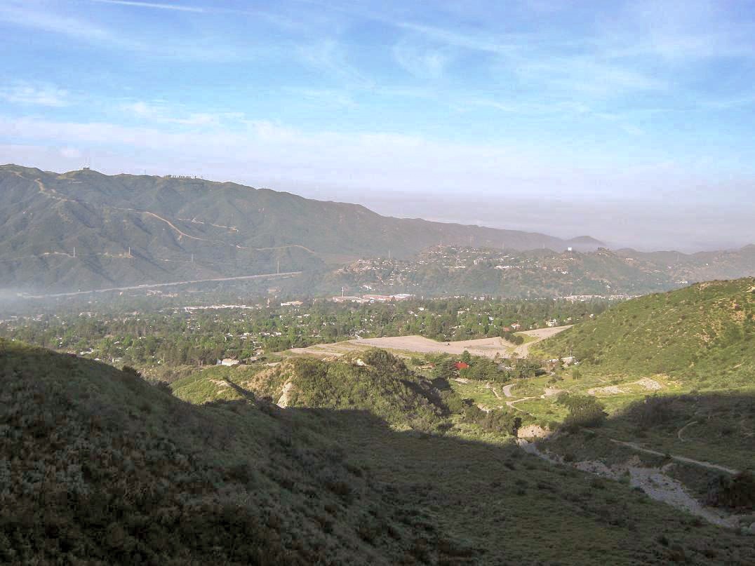
After a mile, I had gained 700 feet and the trail had swung to the east-facing and south-facing slopes of the ridge. I had sun in spots and good views down into Glendale (still under fog) and Verdugo Mountain across the way. The guy ahead of me was another 300 feet up and there was even another guy farther up than him. In this section, the trail was cut into near-vertical cliffs. Sections were narrow, perhaps 18 inches wide, where a slip off the side would mean a 50-foot tumble down brushy slopes with no way to arrest the fall. Thus, despite being on a trail, I took these sections very carefully. The fire had loosened the soil in places, and in a few spots, little land slides had occurred.
I just kept at the trail until it switchbacked back onto the west slopes, then steeply up to a nose of the ridge, on which sat a big round rock shelter, and in it, the two guys who had been hiking ahead of me. I took this as an opportunity to stop and rest, and ask the guys about the trails. They were friendly and had hiked the trails many times. They were "regulars" and apparently, the shelter was their usual destination. I reckoned a mile and a half to get here, and a thousand vertical feet. They said the trail I was on was about the same in quality the rest of the way up, but better than the other options. Immediately above the shelter, the trail crosses open rocky sections. Here I met a group of five men coming down from their morning hike. After that, I saw no one the rest of my hike up.
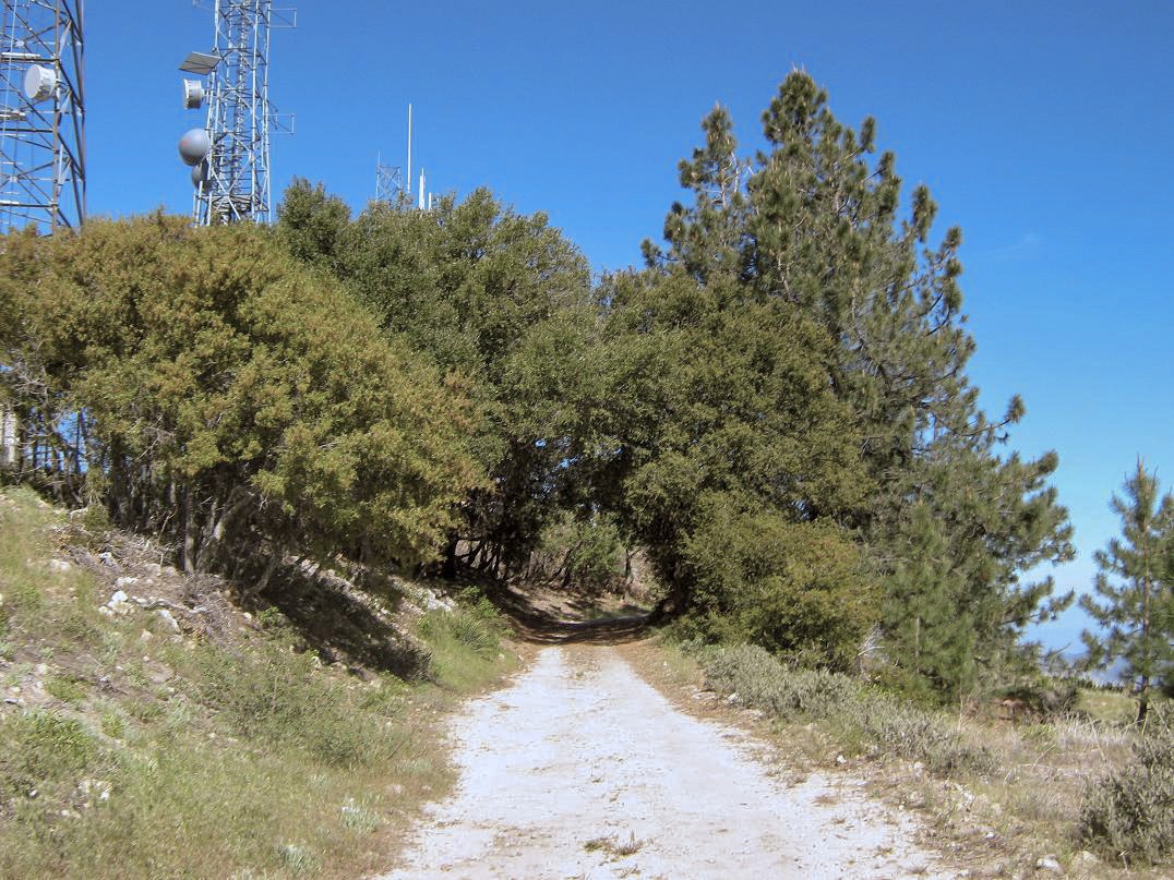
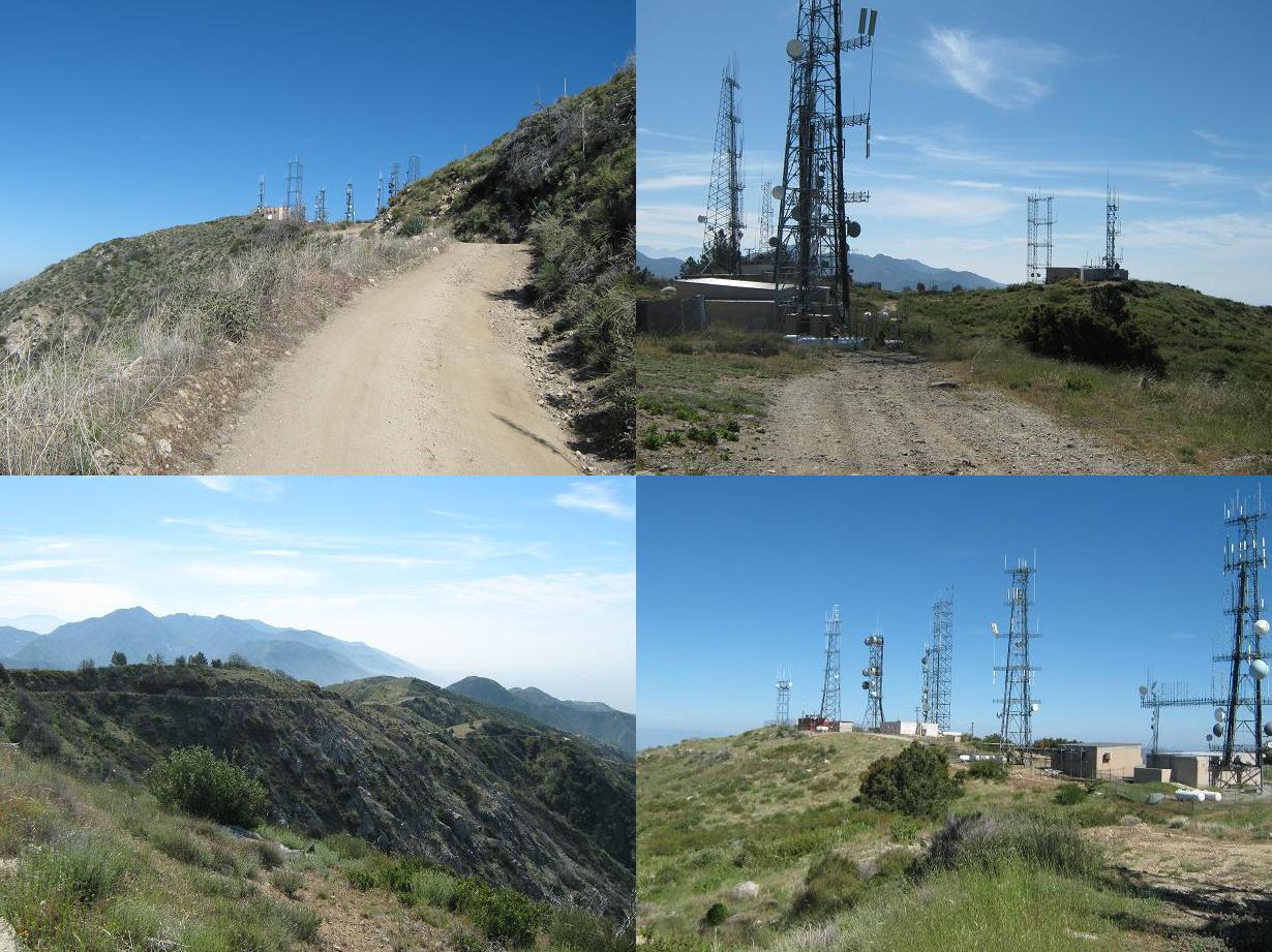
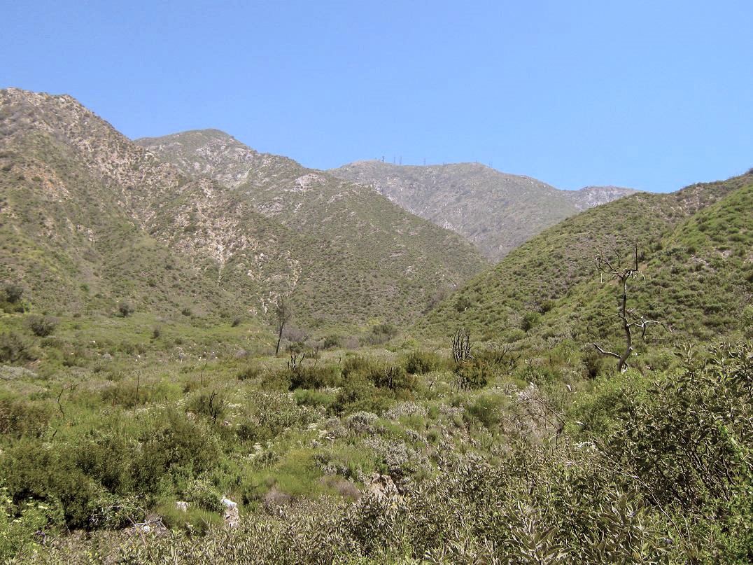
I was nearing the top of Pickens Spur and the towers atop Lukens looked ever so closer. The trail stays on the west slopes and makes a very long sloping traverse through more of the same scrub, crossing through a few sections of burned forest. Finally, the trail turns hard right and presto, it ends, coming to a beat-up fire road emanating off of the main Mount Lukens Fire Road. I walked this spur road about 500 feet and came to the main road itself, taking my first true break in the shade of a tree. I had been hiking two hours exactly and had gained about 2,400 feet. The remainder of the hike would follow the main road.
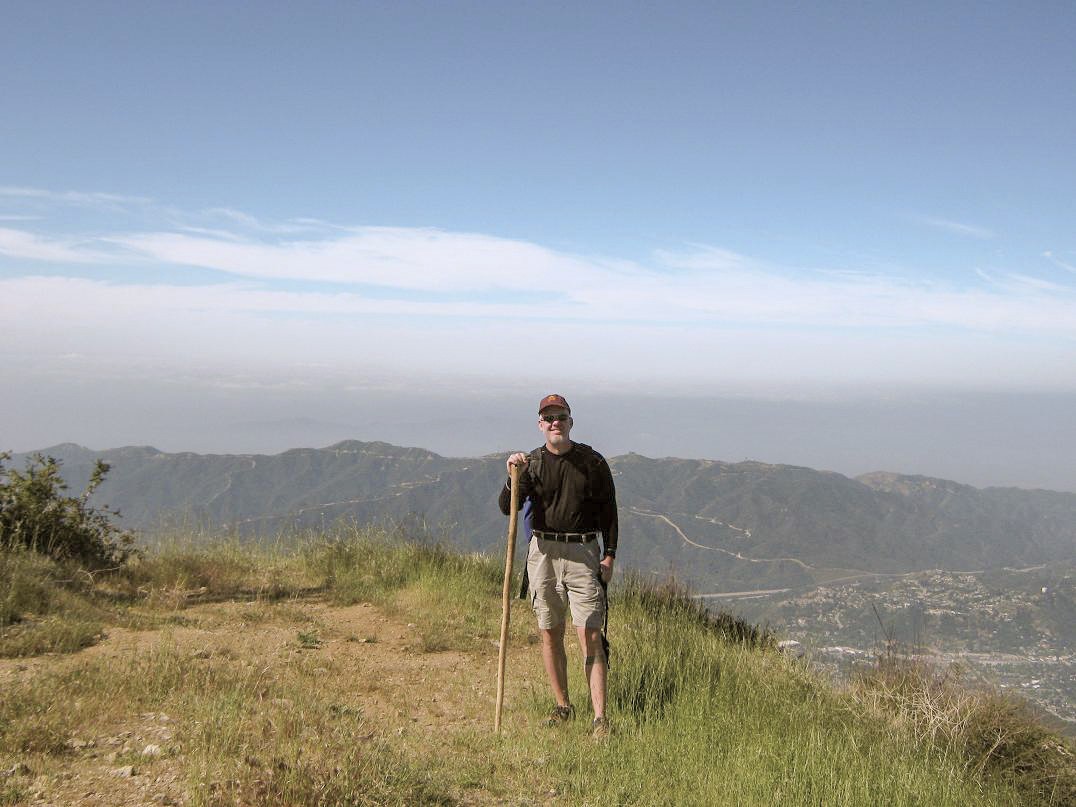
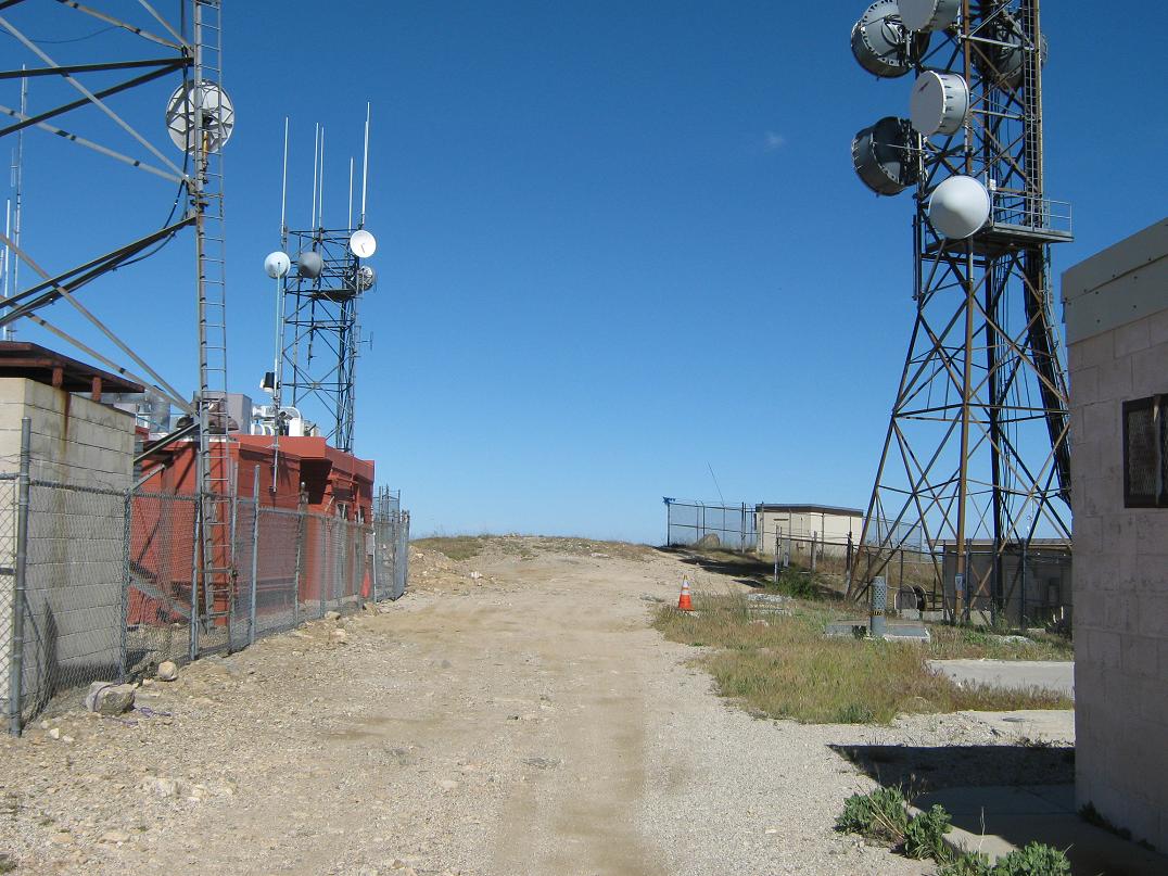
Once refreshed, I started walking again, following the main road to the summit, covering a mile and gaining 400 feet. The top features many buildings and towers. The highpoint of the mountain may be one of two or three possible humps of land. The Los Angeles city limits cut through the middle of these little humps, placing the west-most hump inside the city. A rock protruding about three feet above the soil near a fence is undoubtedly the L.A. city highpoint. I tagged it, and met up with a jogger who had come up a different way. He shot a photo of me. His pal came up momentarily, and I decided to start the long walk down, mainly since it was getting warm. It had taken me about 2 hours, 30 minutes to make the top, gaining 2,800 feet. I was feeling good and moving well.
I hiked over to the other humps and checked each out to be sure I had touched the highpoint, then started to hike down. The road was no problem, but I was concerned about the trail. It was getting warm, and since it was as overgrown as it was, I was concerned about rattlesnakes. I was wearing shorts and low tops, and a well-hidden viper could zing me in no time. As I walked down the trail, I constantly whapped my hiking staff into the brush ahead of me to warn any snakes to back off. I never stopped, and I was down into Dunsmore Canyon in a little over an hour, happy to have had a successful hike and to not have been bitten. I was back to my truck a little after 11 a.m., roughly a 4-hour, 30-minute round trip hike.
The lot was full with lots of day-hikers and families with small kids and dogs. I cleaned off the thickest of the dust and dirt in the public bathroom. By noon, I was on the road. Next on my agenda was to drive the full extent of the Angeles Crest Highway (state route CA-2). This would get me to my parents' place in Wrightwood, some 65 miles distant. This was another thing I had never done in my years of living here. Of course, I was a kid most of that time, and dirt-poor college kid the other times. The state had just fixed a washed-out section of the highway, closed since about 2006.
There were lots of bicyclists and motorcyclists, and the occasional idiot in a car taking the turns too fast. I drove 14 miles to Red Gap, the junction with the Mount Wilson Road. I followed this road and had a fun side trip to Mount Wilson and its observatories. After that, I was back on the Angeles Crest Highway, arriving in Wrightwood about 3 in the afternoon. It was a beautiful, scenic drive, but once is probably enough, although there are sections I'd like to come back to on a later date.
I spent the rest of the day with my folks and my sister, then the next day down in Cucamonga with my brother and his family as we celebrated birthdays and ate enchiladas and tamales. On Monday, I hiked another peak, Mount Jurupa south of Fontana. There, I would get a first-class up-close-and-personal encounter with a rattlesnake.
|


|