
The Mountains of California
www.surgent.net |
| Laveaga Peak |
• Quien Sabe Ranch, Diablo Range • San Benito County (hike), Merced County (summit) • Highpoint: Merced County |
|
Date: May 9, 2026
• Elevation: 3,803 feet
• Prominence: 1,854 feet
• Distance: 4.7 miles
• Time: 4 hours, 30 minutes
• Gain: 2,000 feet (gross)
• Conditions: Sunny, clear skies and warm
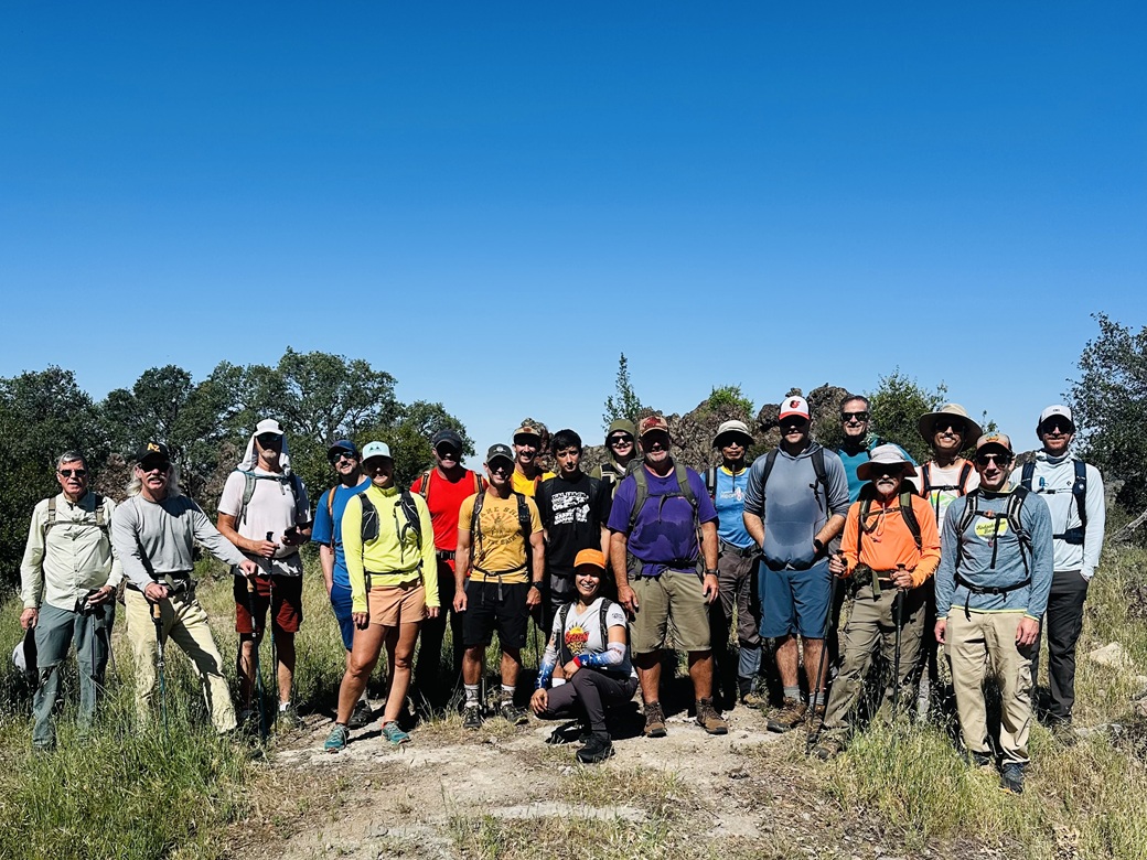
• Partners: John (Ranch guide), 18 others (full list here)
California
•
Main
•
PB
•
LoJ
Laveaga Peak is a highpoint in the Diablo Range, the hills and mountains east of Hollister. It lies on a ridge separating Sen Benito County (to the west) and Merced County (to the east), and is the highest point in Merced County. It is on the Quien Sabe Ranch, and at-large public access is not allowed.
An opportunity to climb this peak came up early this year when Brett Marciasini let us know that he was organizing an open date with the ranch, who allow some access usually through guided hunts or other activities such as birding. There was one other hiking group who gained access to this peak, back in 2019. The few others who have climbed this peak have done so surreptitiously, usually at night under a full moon, covering great distances. For me, that was not an option.
There was a time, over twenty years ago, when I was picking off the various county highpoints in California. I learned quickly that Laveaga Peak is off limits and not easy to get to. I never had any intention to climb or visit all of California's county highpoints, so missing this one wasn't an issue for me. The last county highpoint I did inside California was in 2005. Since then, I've actually lost two when different points were found to be higher (Marin and Placer counties).
But this was an opportunity not to be missed. I mulled on it for a couple days. The timing was not ideal. I'd be giving a final exam the day before and would need to have grades submitted by that night. I decided to just go for it. I never do anything like this, and did not want to keep missing out on these occasional get-togethers. On a practical matter, Brett needed a certain number of people so that the cost was mitigated. It's not cheap to get onto the Quien Sabe Ranch.
Do not climb this peak without permission. It is better to wait for an open date and spend a little money than to stealth it under moonlight. This is a generous allowance by the Quien Sabe Ranch people to allow this and the occasional stealthers run the risk of ruining access for all others.
I made my travel plans back in January, securing a plane ticket, rental car and hotel. Then I waited four months for the date to roll around. I gave (and graded) my final exams over the couple days prior, wrapping up all grades late the previous night (May 7). I stayed a night in Scottsdale, then drove to the airport on the 8th.
I flew into San Jose. The flight went well. It wasn't crowded and there were no delays. It's an hour and 40-minute flight, so we were landing just as my butt was starting to get sore on the plane seat. I was able to find the car rental facility easily (it's just outside the main terminal) and got my car. It was Friday at 4 p.m. when I left the airport premises.
I found the US-101 freeway quickly, but it was stopped cold with traffic. I squeezed in and joined the throng. We crept along at 5-10 miles per hour for a while. Then things opened up to where I could go 30 miles per hour, then for a few miles, at proper freeway speeds (60-70 m.p.h.). Then ... a dead stop again. A half hour to cover a couple miles. Is this typical for San Jose on a Friday? Turns out someone had plowed into a traffic barrier up ahead, closing two lanes. He seemed okay, the car not so much.
Finally, I could proceed at more normal speeds, but not much faster than 70 miles per hour. It took me two hours to drive to Gilroy, longer than my flight time. I got to my hotel, but immediately headed out again. I couldn't pack my hiking poles, so I found a Big-5 in town and purchased a cheap pair. I also looked at a small ranked peak hill in town, but discovered it as gated and fenced. I was tired by now so I headed back to my hotel and had a dinner at the Denny's next door.
I was up very early the next morning. I was excited. I also wanted to build in some buffer time in case I got lost on the drive to the meeting point. We were supposed to meet at 8 a.m. at the main ranch entrace gate. I was actually out the door at a little past 5 a.m..
This is a completely virgin area for me. I have no sense of distances and time requirements or of other unforeseen factors. In the dark, I headed south on the US-101 a few miles to the CA-25 exit, toward Hollister. It was early so traffic was light. Then I hit heavy fog, and it stayed heavy for the fifteen or so miles into Hollister, before lifting just as I entered town. The sun was barely up now, still hidden by the hills to the east.
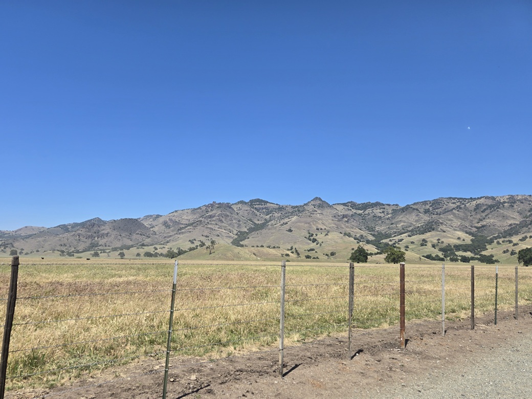
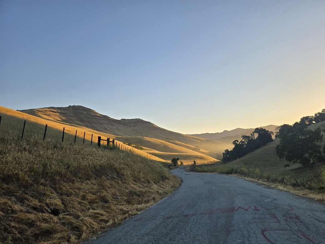
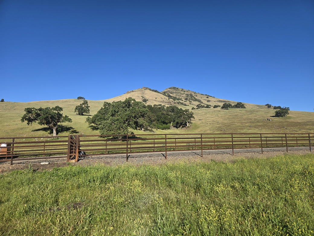
I stopped in town for some snacks and to kill time, then proceeded south on CA-25 a few more miles to the smaller village of Tres Pinos. At its south end is Quien Sabe Road. I took a left, heading generally east. The road soon starts into the hills, gaining elevation and weaving and curling within the lay of the land. This is that classic grassy hills with oak trees scenery common to this part of California. It was gorgeous. I stopped a couple times for photos. It was just me on these roads for now.
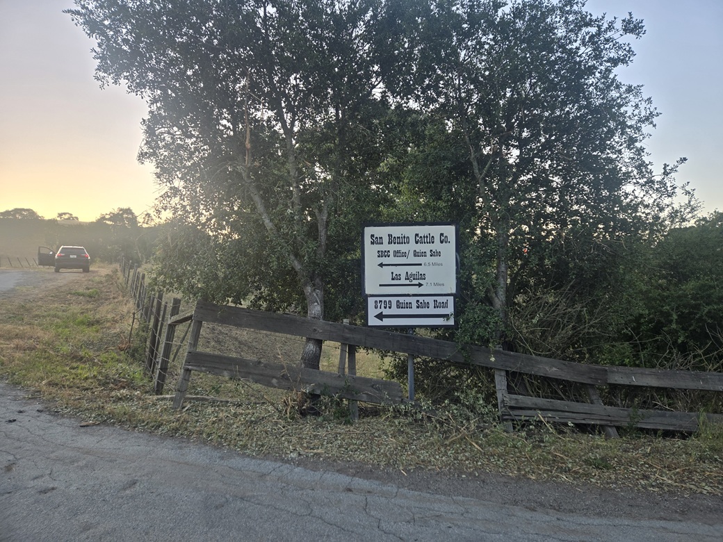
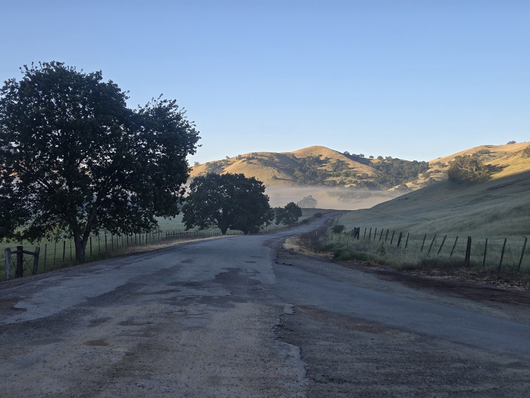
The road is paved but narrow with no lane markers, and has been patched so many times that it is now just a long continuous stretch of patches. I generally went about 20 miles per hour. About three miles in I came to a T-junction and went right (south), then after a couple bends, took a left at a Y-junction, signed for the San Benito Cattle Company/Quien Sabe Ranch.
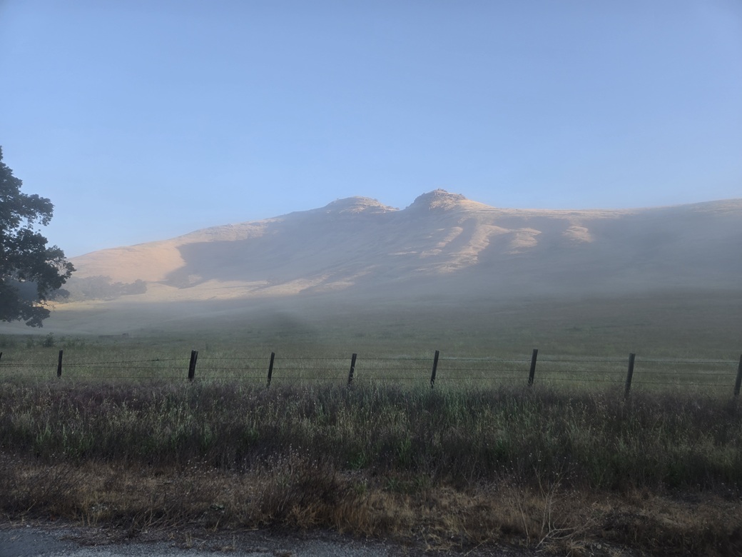
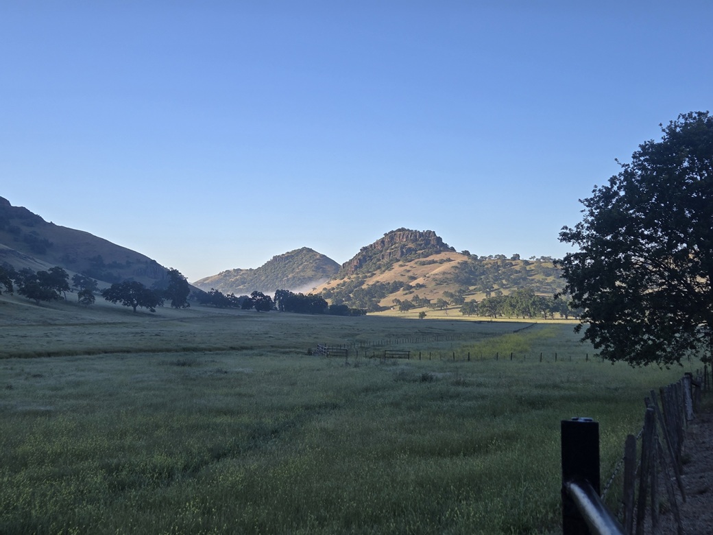
The remaining drive was enjoyable. There was still a lot of ground fog in the lowest valleys and dells. The hills rise up dramatically, some with knoll tops of basaltic columns, this all being the result of ancient volcanism (the Pinnacles National Park is about thirty miles south of here). It was, as they say, bucolic. I kept expecting to see Laura talking to Pa about something Nellie had said at school.
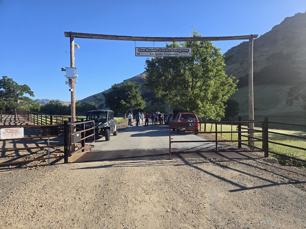
In time I had driven as far as I could, stopping at the gate at 6:40 a.m., the first one here. I had not gotten lost or had any other delays. I surprised myself that way. The sun was up but it was still shady here, and quite cold, in the low 40s for now. Ground fog was still present. I just sat in my car to keep warm.
At 7 a.m., a guy rolled in towing a UTV (a "bike" as he called it). It was John, our guide for the day. He asked if I was one of the hikers. We shook hands, and he opened the gate and showed me where to park. He then pulled ahead, and I stayed back. soon, others were showing up and I became the gate-opener and closer.
It took an hour for everyone to show, and our group would number 19 people in all. We stood around introducing ourselves and shaking hands, then talking about peaks. It was nice to meet so many people whose names I had seen for years on the websites, and finally meet them in person.
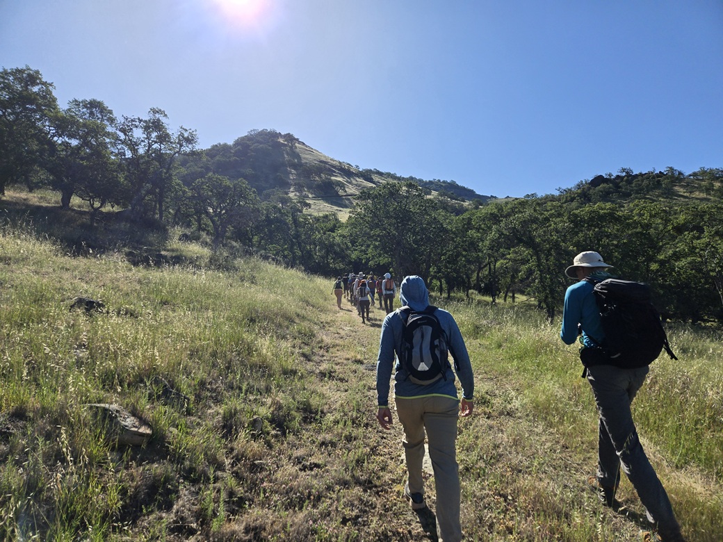
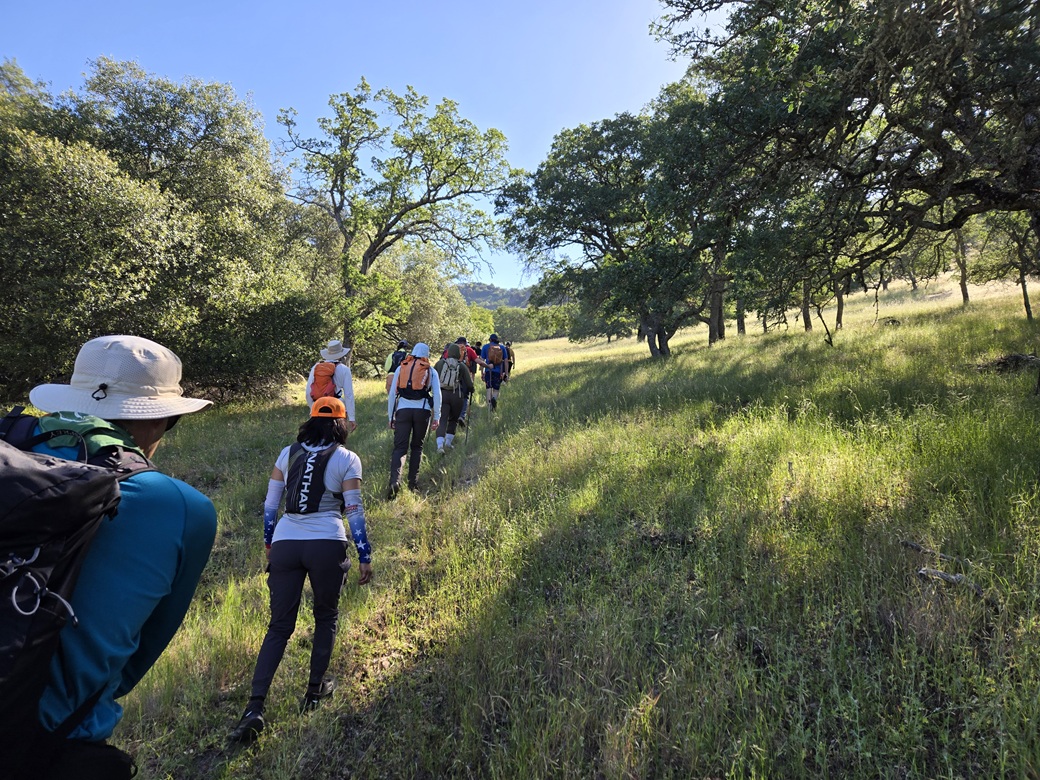
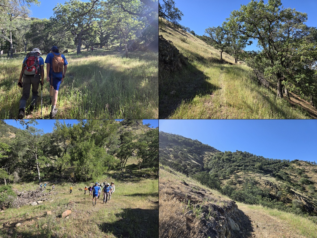
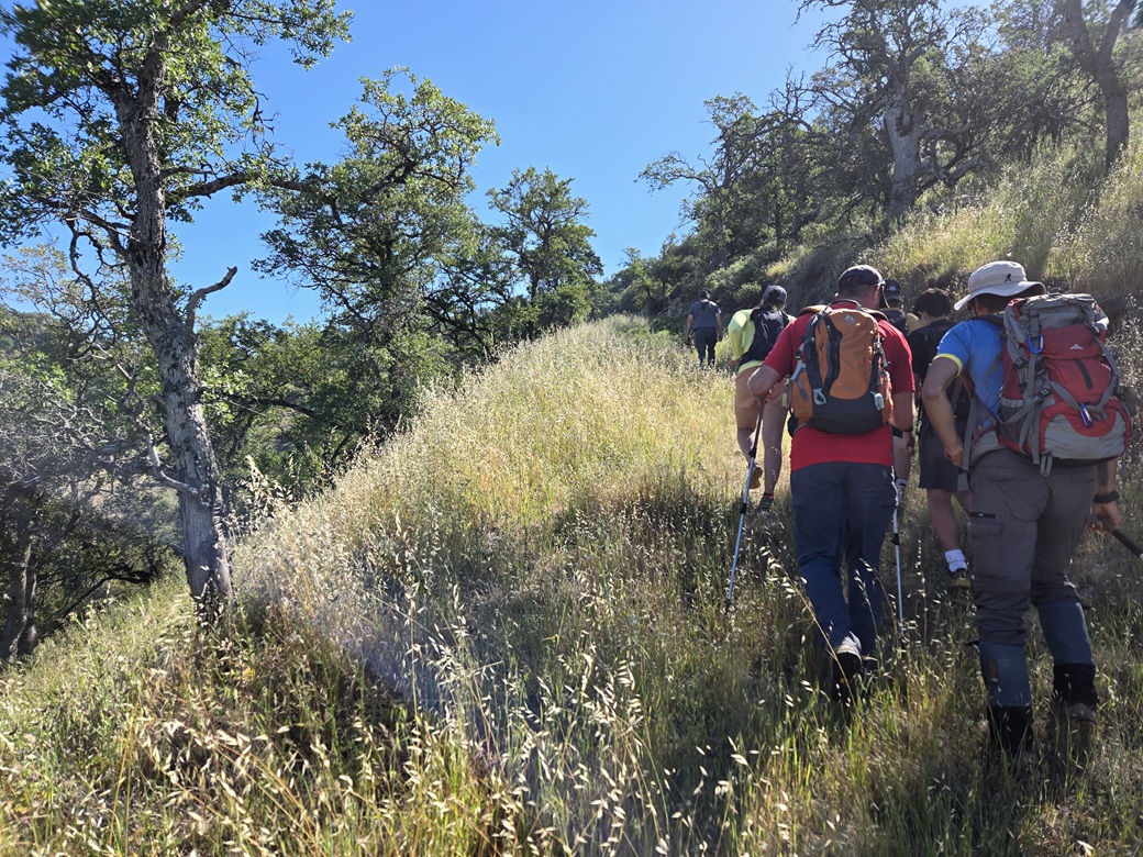
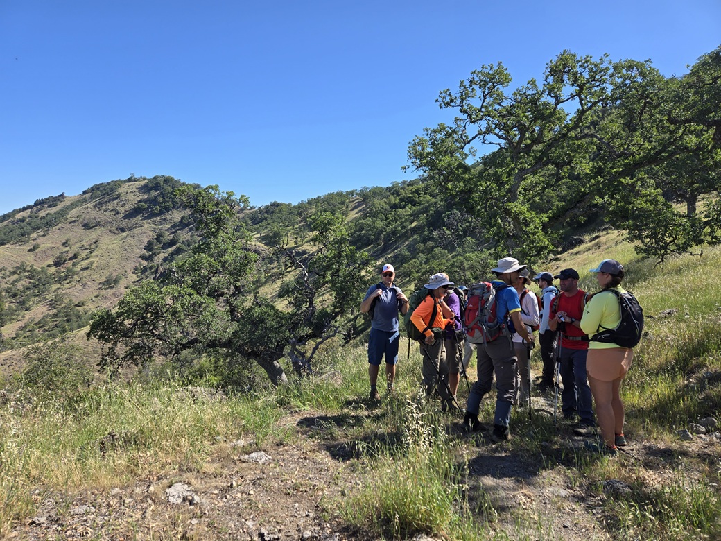
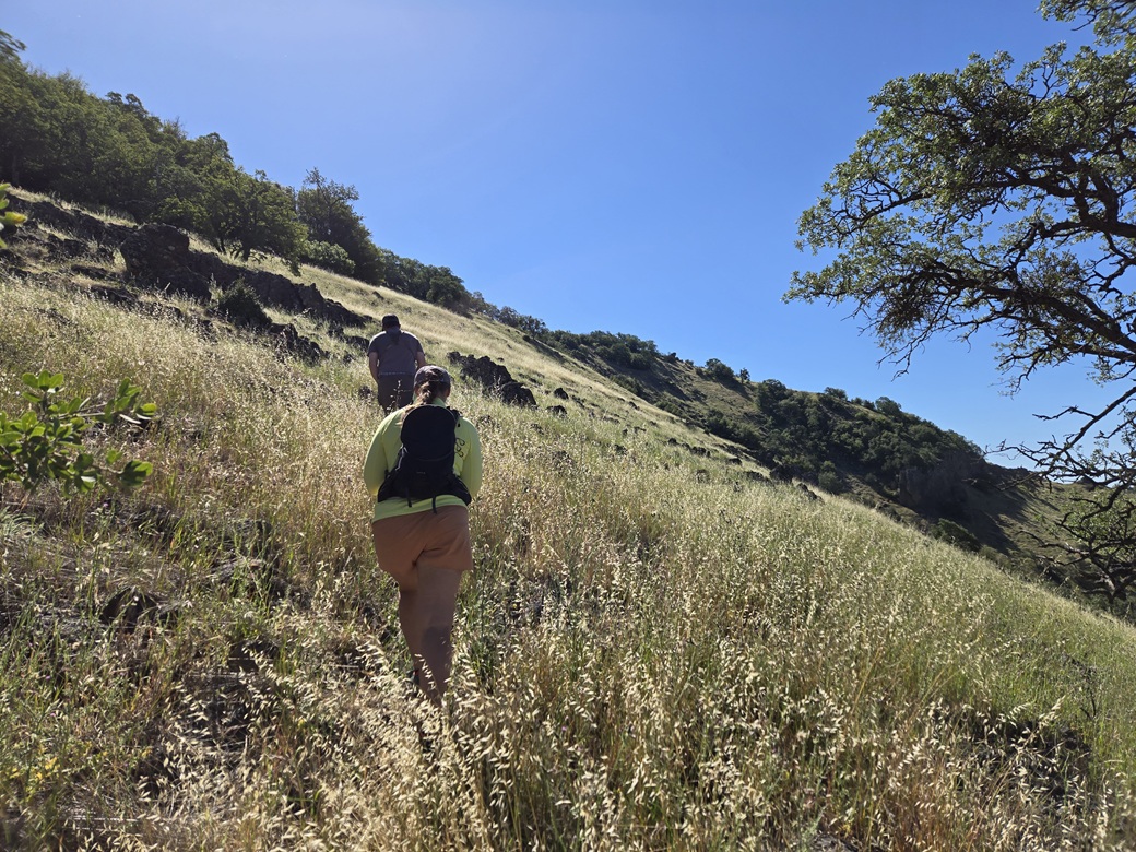
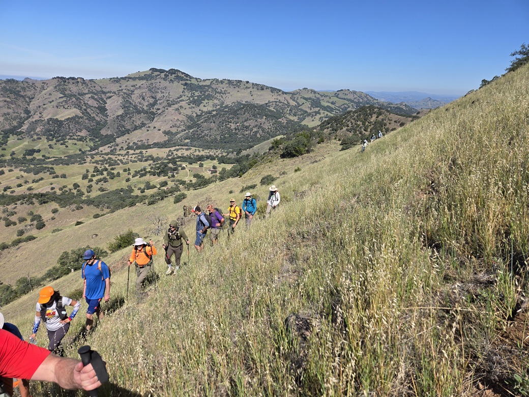
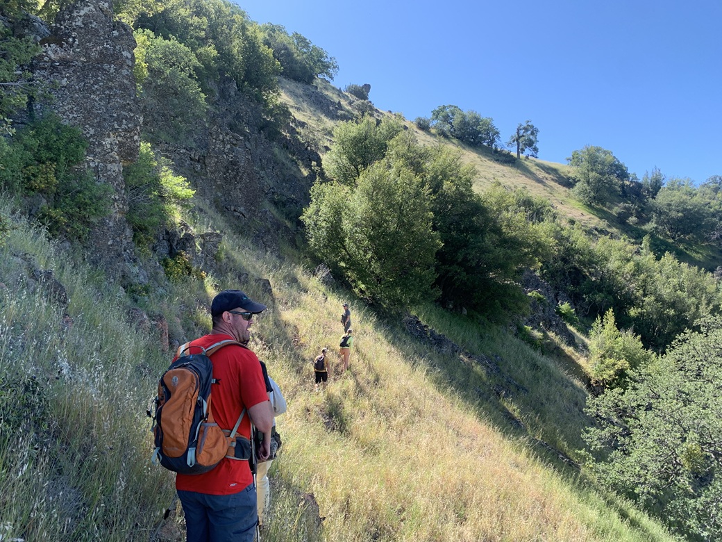
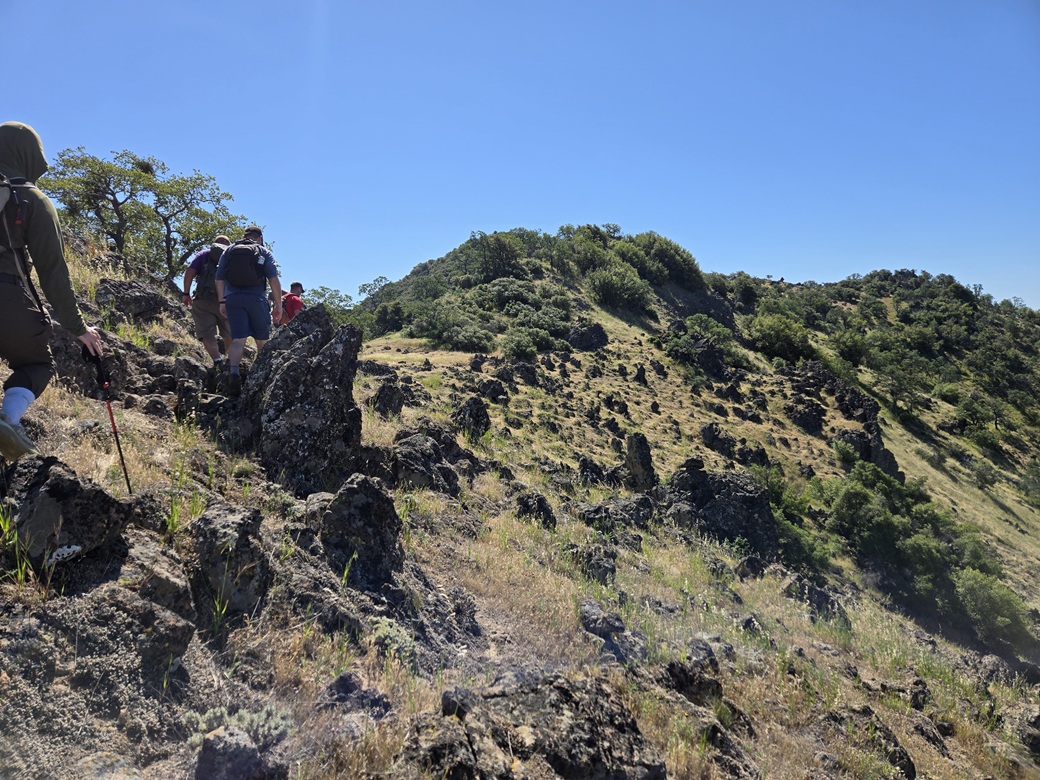
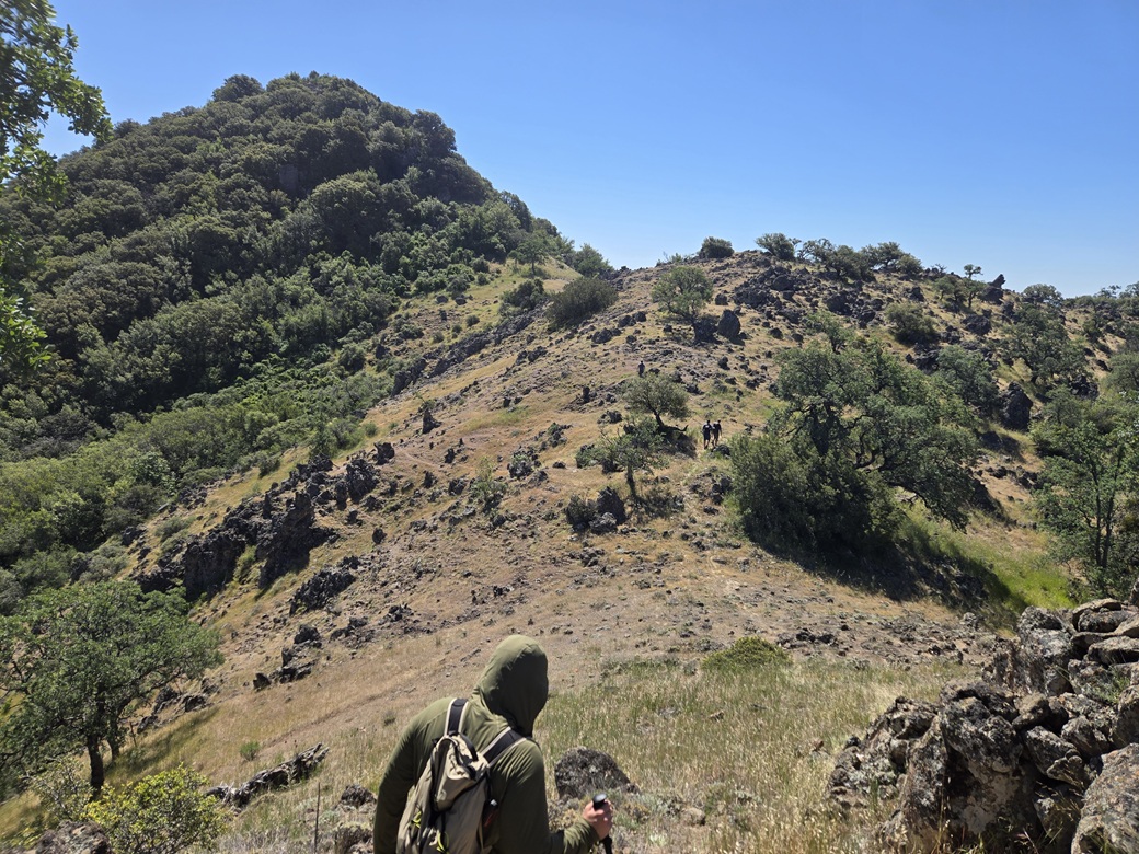
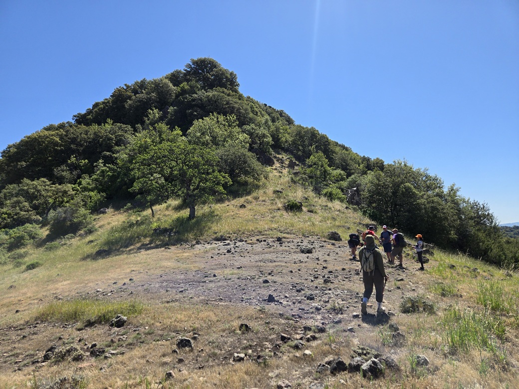
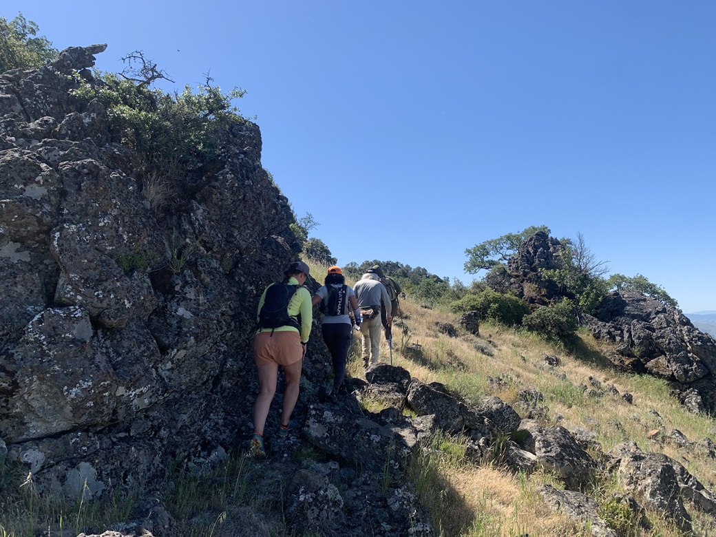
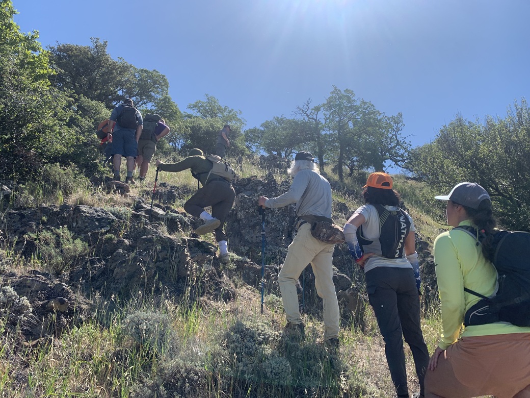
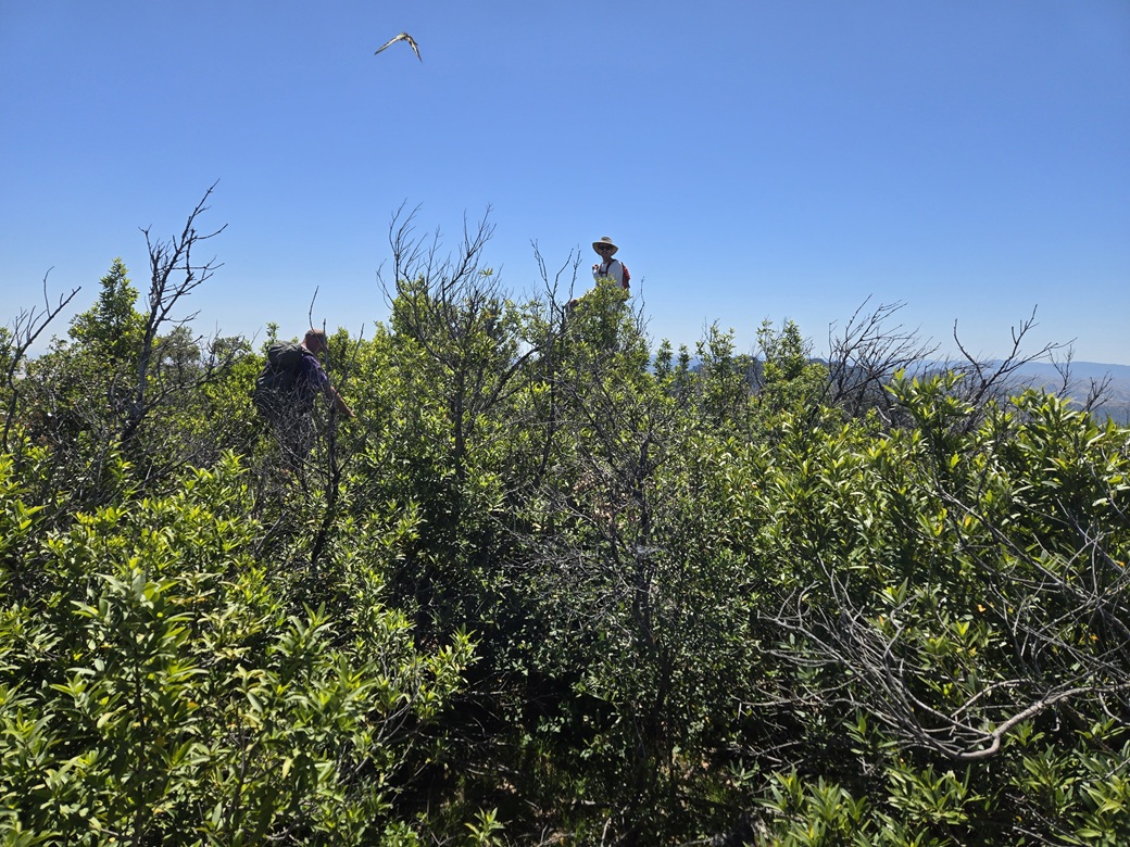
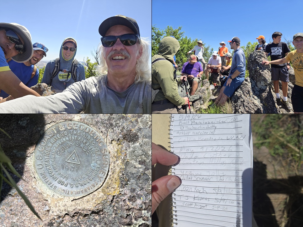
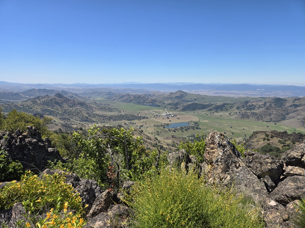
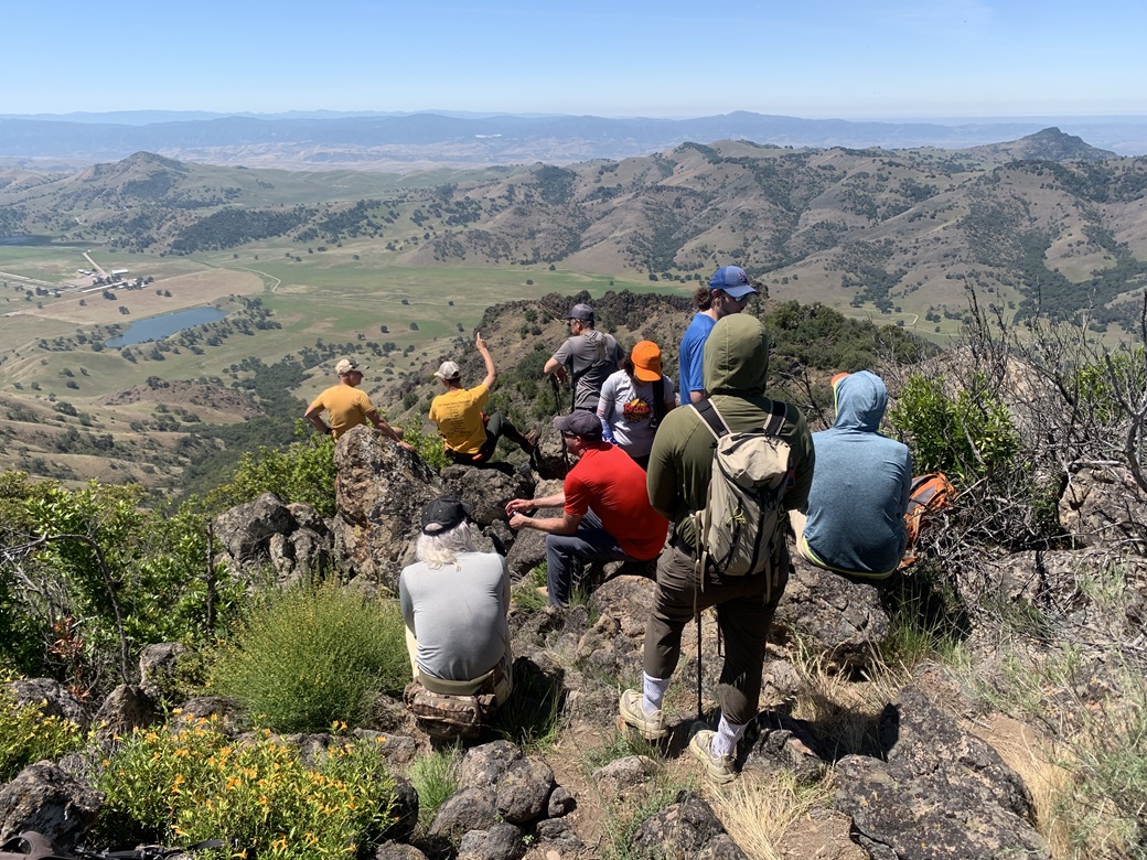
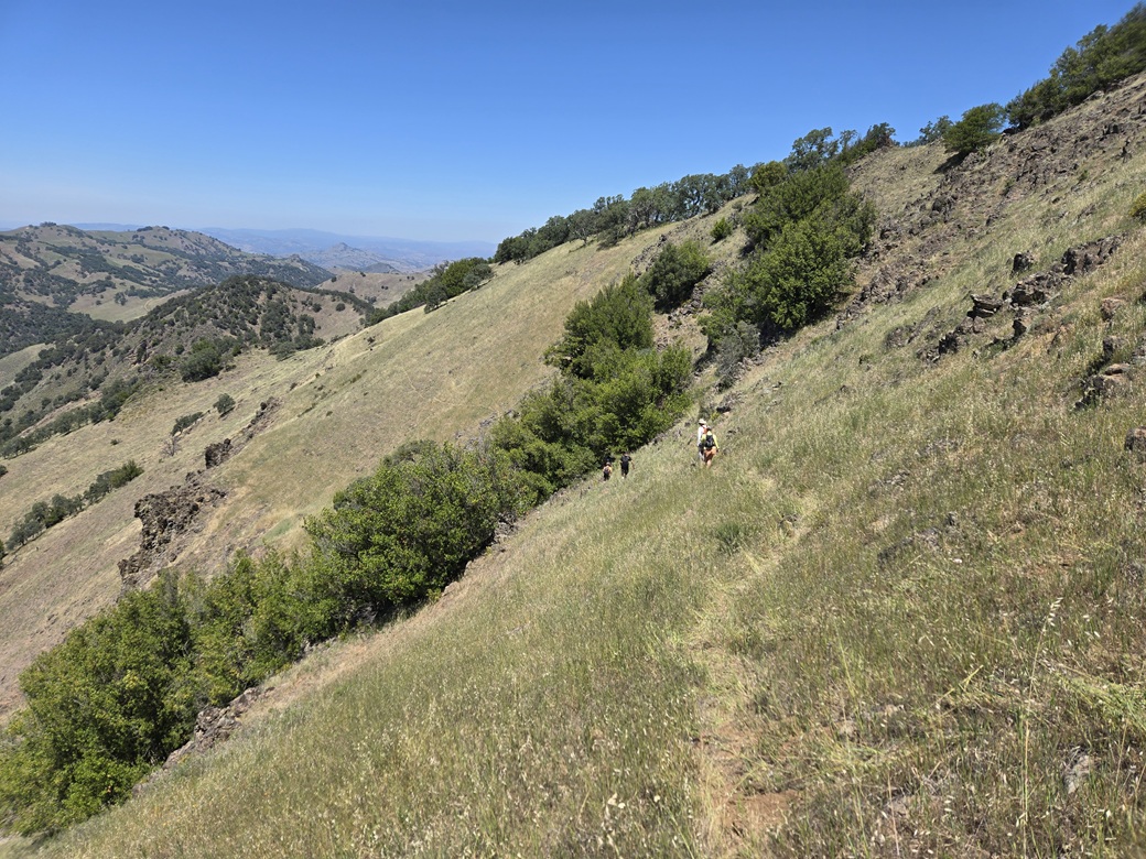
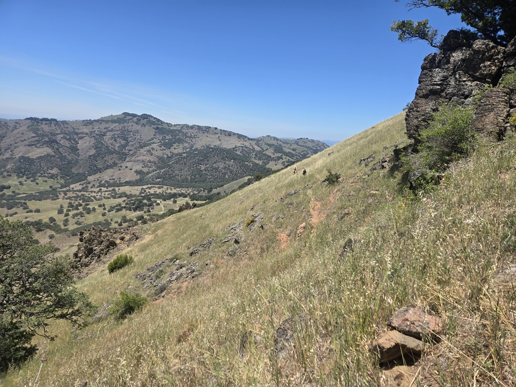
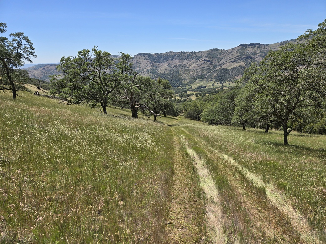
At about 8:15 a.m., John corralled us and gave us the plan. We'd all follow him on his "bike" about another five miles up to a hunting lodge complex high on the hills. The ranch roads were good roads, and it got a little steep toward the end. The scenery was absolutely stunning, like one gigantic park. The grass was much greener than I was expecting. At the lodge, we all parked, got our stuff together, and then waited for John for more directions. He would drive ahead on what remained of the road, and we'd hike it. He showed us where to start, then he took off. It was a little past 9 a.m. when we started. It was a sunny and clear day, cool for now but warming up. We started walking up the track, by now just ruts in the grass and flat ledges, suitable for a UTV. It was steep but not too bad. We made good time. The initial mile or so is essentially straight up through light forest within a small canyon. Then the road breaks into the open and curls upward with the folds of the terrain. In about an hour, we had all collected to where the road ended, at a small ledge/promontory. We had covered about half the distance and slightly more than half the elevation gain. We took an extended break to allow for everyone to arrive and have a chance to rest. Laveaga Peak was not visible from here. The next segment was to sidehill below the ridge, aiming for a subridge seen in the distance about a half mile away. John was in the lead, now on foot. There were a couple up with him, then me, then everyone else. At first, we followed a weak path but it was distinct and tolerable. Then it started to fade. For long stretches, we were following the barest of animal paths, or no path at all. This segment spooked me a little. The slope was steep both above and below. A slip at the wrong time could mean a fall downslope a ways. I moved very deliberately. My cheap hiking poles were absolutely critical. I would have struggled mightily without them. Some of our group seemed completely fine on this sidehill, but others were taking it as slow as I was. We all convened again on this subridge, where we could see Laveaga Peak for the first time. We spent about twenty minutes here to allow for those at the rear to show up. Then we started directly uphill, up a slope of grass dotted with low rocks which allowed for secure footing. This brought us to the highest ridge, within a half mile of the peak. We had to drop some elevation as we followed the ridge, up and down some lower intermediate bumps. Laveaga Peak stood there, completely covered in thick trees and brush. Once more, we convened at the saddle below the peak. Despite all the convening, our total time stopped came to just about a half hour. Even the slowest hikers were making steady progress. And frankly, I liked having the time to sit and rest and enjoy the whole experience. It was a good chance to trade stories with all the other peakbaggers. John gave us the summary of what to expect. We'd go low and sidehill just a little more to get around one bad area, then bust upwards. Like before, the sidehill was good (if there was a path) or sketchy otherwise. But it was short. We then started directly up, into the thick forest, mostly of oak and also bay laurel. The terrain was steep and leaf-covered. Footing was sometimes loose. We started to encounter more rocks the higher up, actually requiring hands to negotiate. John would forge ahead then stand aside as we passed. At the very top, the rock became more abundant, and we had some true short scrambles, class 2+/3- in my opinion. Then that was it! We were on top. The summit area is heavily brushy and rocky. A weak opening prompted us to follow it to a more substantial open area where the benchmark is located. Even then, we had to manage some awkward rocks and thick brush that together made the going very slow. Someone also pointed out poison oak, so we had to avoid that too. Oh yes, and there were ticks. Getting to the benchmark and open area wasn't that bad, and I was relieved to be here, and quite happy too. This is a peak I never thought I would stand upon. But the actual highest rock was still about a dozen yards away. We all had to touch it. I bashed through the crud, managing the rocks, until I was just below the highpont rock, a pillar about eight feet high. One of our team was on it and descending so I stood back to allow her to get down. I then clambered up it until the highest point was about at my chest. I reached out and tagged it. And with that, I had officially and forevermore climbed Laveaga Peak. A few others were here and I got a couple of images. I then moved aside to allow others to get up. I proceeded back to the open area and then we all had a true extended break, spending the better part of a half hour just relaxing, signing the register, photographing the benchmark, looking out at the countryside, and appreciating our success. Everyone made it. It was sunny and warm, into the 70s up here. There were no clouds and we had fine views down into the Quien Sabe Ranch complex. Farther west were more hills and lower clouds, the usual fog/on-shore-flow coming off the ocean. I wouldn't have been able to point out any peaks, me being totally unfamiliar with this region. The last peaks I climbed anywhere close to here were the Bay Area county highpoints in 2000 and 2001. This was my first time back to Northen California since 2005. I got on my device, and being so high, there was decent coverage. I thought I'd be clever and log my ascents into Peakbagger and ListsofJohn. Turns out about a half-dozen others already had beaten me to it. We joked that it's important to get these logged. If we meet grief on the way down, we still want the credit for the ascent. After over a half hour, John then simply started walking outward, and a few of us got the hint and started to follow him. There was a general agreement to meet at the saddle below the peak, but in no particular hurry. A group of us descended the track we had taken going up, then stopped for about fifteen minutes waiting for the rest. Well, they had followed a different way down and had actually beaten us to the saddle. So we hiked back to the saddle ourselves. The next segment wasn't bad, this being the ridge walk, going up and down the intervening hills. Then we hiked down the subridge to where we had previously convened after the longer sidehill segment. John was hanging back with some of the group. There was a small cluster of people way out ahead. I was in with the second cluster, about six of us. I wanted no part of this sidehill, but knew I had no alternatives. I just went very carefully, making sure each foot was planted solidly. I never took my eyes off the ground ahead of me. About fifteen minutes later, our cluster met up with the others at the point where the road had ended. We then waited for everyone else to return. It was much warmer now, pushing 80°. After about another fifteen minutes, some people started to get moving, so I joined in. Not all of our team had arrived at this upper ledge yet, but John was back with them and he had his "bike" with him anyway. Our group made excellent time going down, now with gravity assisting. We made the hike out in one push, arriving back to the lodge buildings, where the first cluster of hikers were already sitting under the shade. The hike to the summit, including breaks, had taken just over two hours. The hike down, including breaks, just under two hours. I was beat. I was filthy and sweaty. I had a coke in my car I had wrapped in my fleece sweater and it was barely cool, but cool enough to drink. I got a little dehydrated on the hike down. It took the better part of an hour before everyone was back, with John coming down last in his bike with two of the hikers. The lodge buildings are very nice. The main one was unlocked and it was nice to be able to properly wash up and use the restroom after the hike. We spent another little while settling all bills. Once everyone was accounted for and all monies paid, it was time to leave. John started first and the rest of us followed. We all said our goodbyes at the lodge. It was a fantastic group and I was happy to meet everyone. The drive out went fine, kicking up a lot of dust. John propped open the main ranch entrance gate as we exited. At this point we were all on our own. I retraced my driving route in, back to Tres Pinos, Hollister then into Gilroy. It was close to 4 p.m. when I arrived back to my hotel. I had brought printouts of a few peaks in the area, in case I had the time and energy. One interested me, called Mummy Mountain, about five miles to the east of Gilroy. But, admittedly, it was hot now (mid 80s), I was beat, and did not have the energy for another hike. I showered and cleaned up. My rental car was dusty, so I found a drive-through car wash place, and conveniently next door, a Black Bear Cafe, where I had a good meal. I was perfectly happy to go back to my hotel room and do nothing, even nap a little. My flight out of San Jose was at 8:15 a.m. the next morning. I was up early and on the road at 4:30 a.m., building in a buffer in case I got lost on the roads around the airport. Being early on a Sunday, traffic was light. I was able to find the car rental drop-off place easily. I vegged within the terminal for awhile, then flew back to Phoenix. It was hot in the big city, over 100°. I got into my car and started the long drive back to Bisbee. This hike was a singular thrill for me. It was a chance to climb a peak in an area I never go to and to meet a lot of like-minded people. My sincerest thanks to John for guiding us, and Brett for setting this up. I enjoyed meeting everyone. It was also a good way to wind down another school year, my 32nd at ASU. This was the fifth anniversary of an event that I don't normally discuss but affected me very deeply. Since then, every May 9th is "my" day where I go silent and do something on my own, usually a peak. Last year on this date, I climbed a big peak in New Mexico. It's a way to take control of that date and by extension, of that event. I want to also thank the San Benito Cattle Company for allowing these types of access. It's not cheap, but with a big enough group, costs are reasonable. The whole area is absolutely beautiful. I cannot imagine trying this under cover of darkness, having to battle the steep slopes and rocks blindly, all the while worrying about being caught. We were able to take our time and enjoy the experience with that peace of mind. |
|