The Mountains of California
www.surgent.net |
| Box Spring Mountain |
• Highpoint: Box Springs Mountains • Box Springs Mountain Reserve • Riverside County |
|
Date: May 11, 2012
• Elevation: 3,080 feet
• Prominence: 1,160 feet
• Distance: 4 miles
• Time: 2 hours
• Gain: 780 feet
• Conditions: Warm and hazy
California
•
Main
•
PB
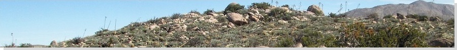
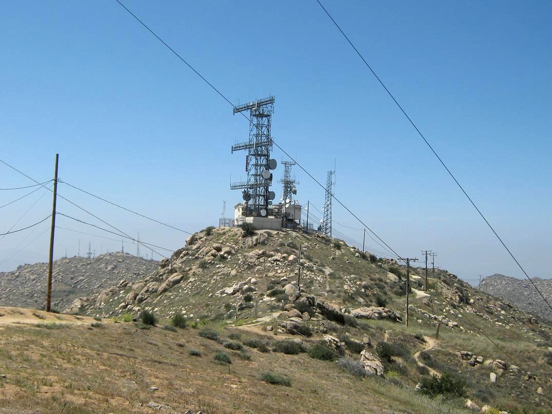
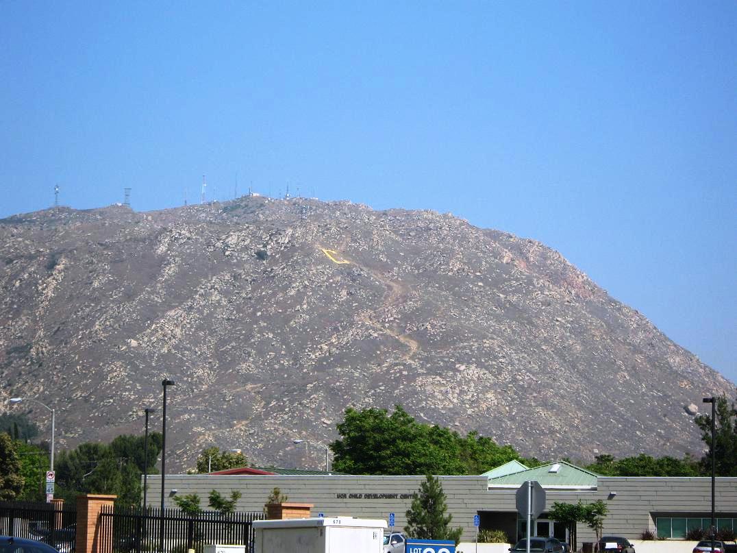
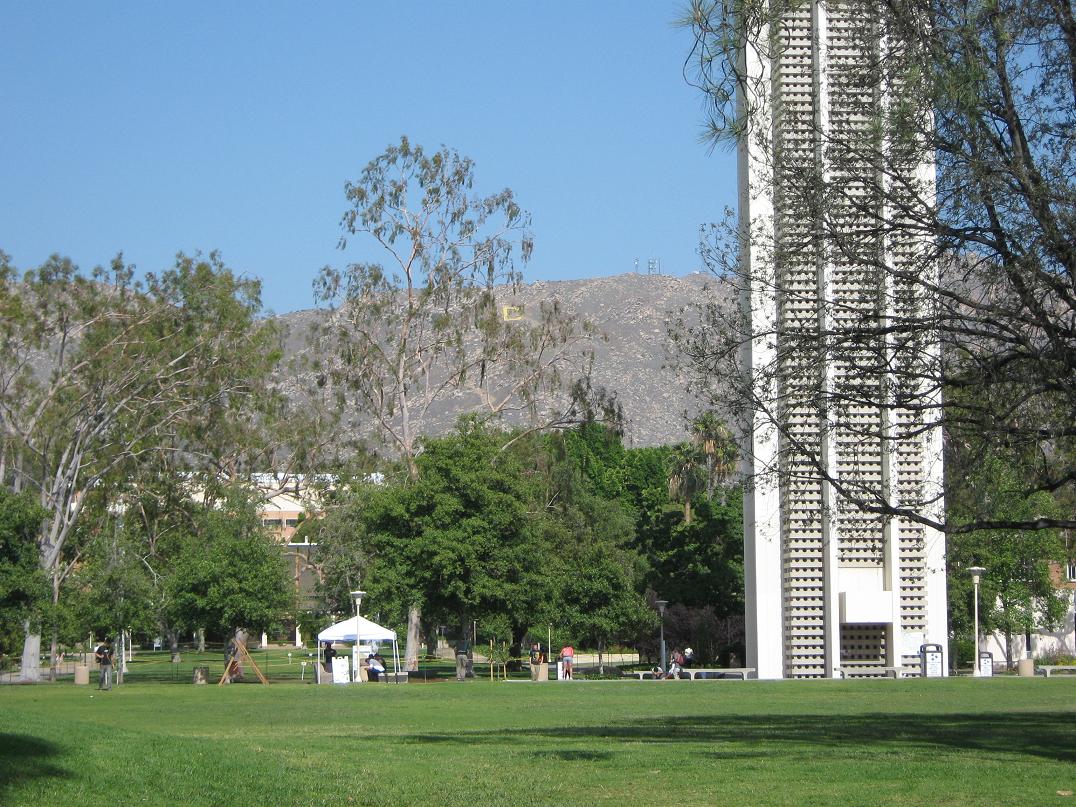
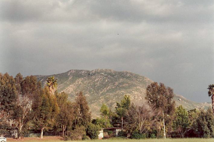
The Box Spring Mountains are a compact range northeast of Riverside and extending into Moreno Valley. The mountains are desert-like, with no trees, low grasses and scrub, and lots of rocky extrusions. There is also at least a half-dozen communication tower complexes strung atop the broad summit and ridge area. From below on the Riverside side, the most notable feature is a big concrete "C" overlooking the University of California-Riverside campus, my alma mater (B.Sc. 1989, M.Sc. 1992). In recent years, a big "M" was built to overlook Moreno Valley. For the record, the mountains mostly lie outside both city's boundaries.
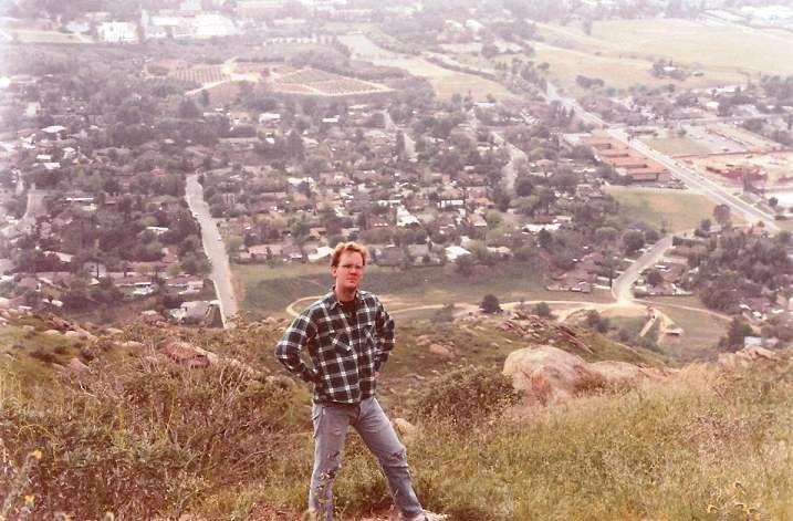
During my time in Riverside, I hiked to the C often, starting in 1989 (my senior year) and consistently about once or twice a week thereafter, even in summer, and once in a driving winter rainstorm. The hike to the C started at the end of Big Springs Road and followed an unofficial footpath directly upslope to the C, about an 800-foot gain in a half-mile. It was a good workout and made me feel less guilty when I'd later drink a bunch of 32-oz. glasses of Sierra Nevada Pale Ale at the university's drinking establishment, the Barn.
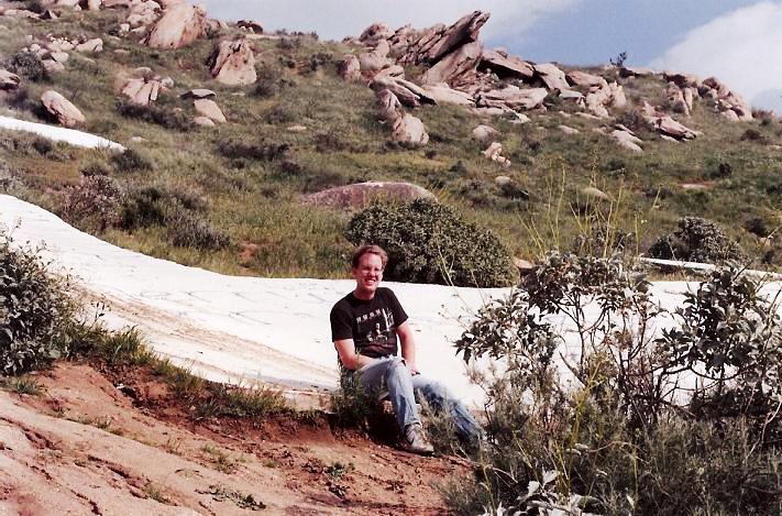
On a few occasions, I varied the routine. Once, I sidehilled north to a gully where I found, of all things, an actual burbling spring. There really are springs up here, after all. Another time I continued up past the C to a batch of radio towers, hiking until I reached the closest one. Then, I descended south off a ridge into Moreno Valley. On the descent, I almost got kilt when one of the big rocks I was holding on to for balance broke apart in my hands, the part I was holding onto weighing about 500 pounds. The damn thing careened downslope and broke apart into a million little pieces. Had I been below it, I would have been crushed.
I descended onto roads in MoVal. This put me about three miles from my car, back on Big Springs Road. So I started walking down the main road (called Box Springs Road) into Riverside to my car. About half-way back, a couple friends of mine, on their way to see a movie, see me and pull over. They kindly gave me a lift back to my car. Later, they told me they got a speeding ticket trying to make up lost time getting to their movie. Scott Surgent strikes again.
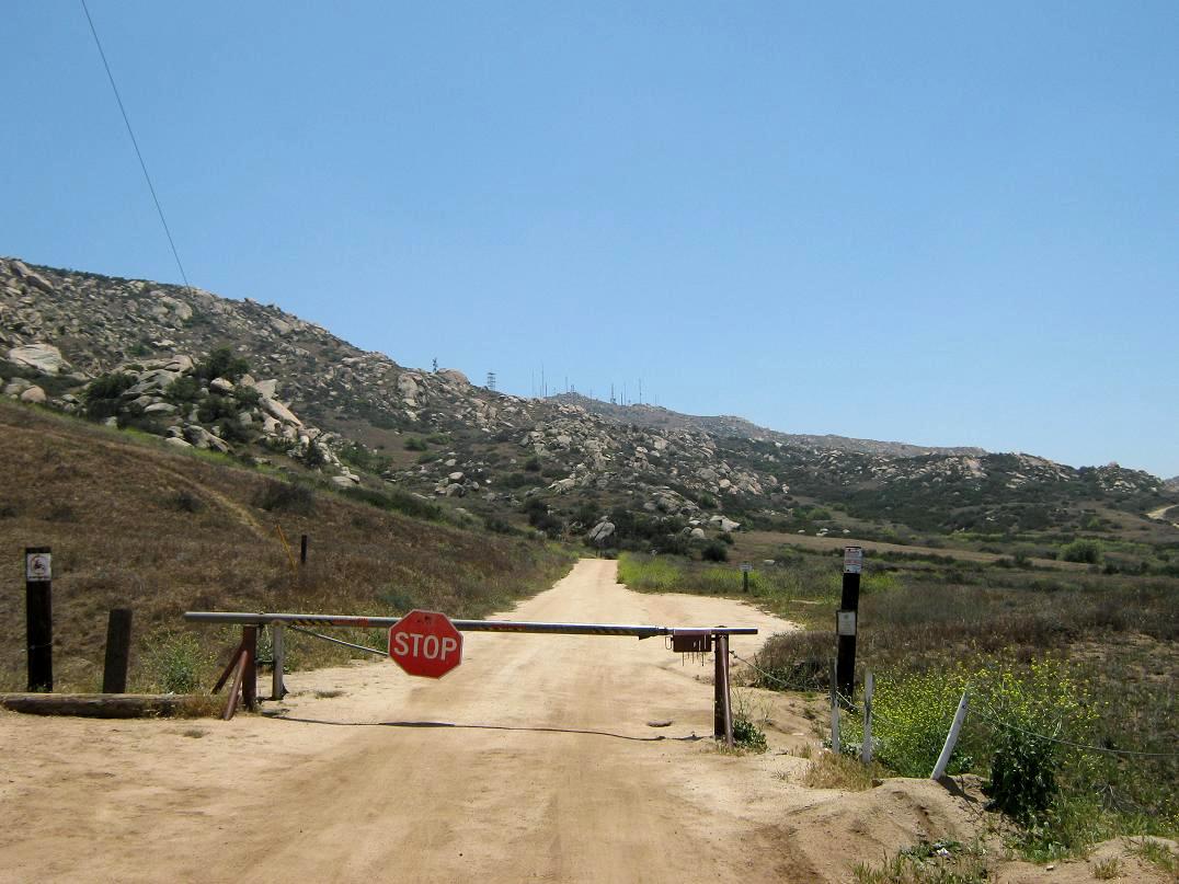
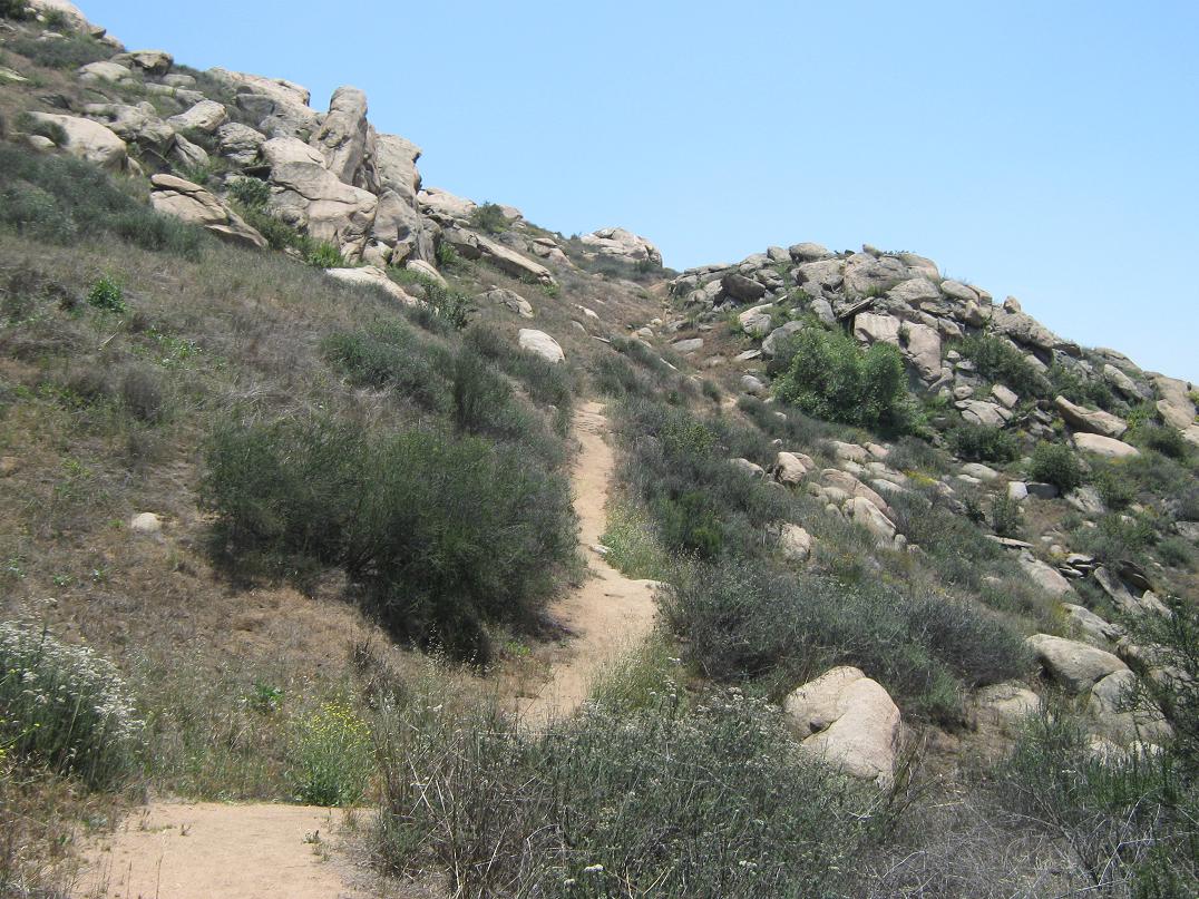
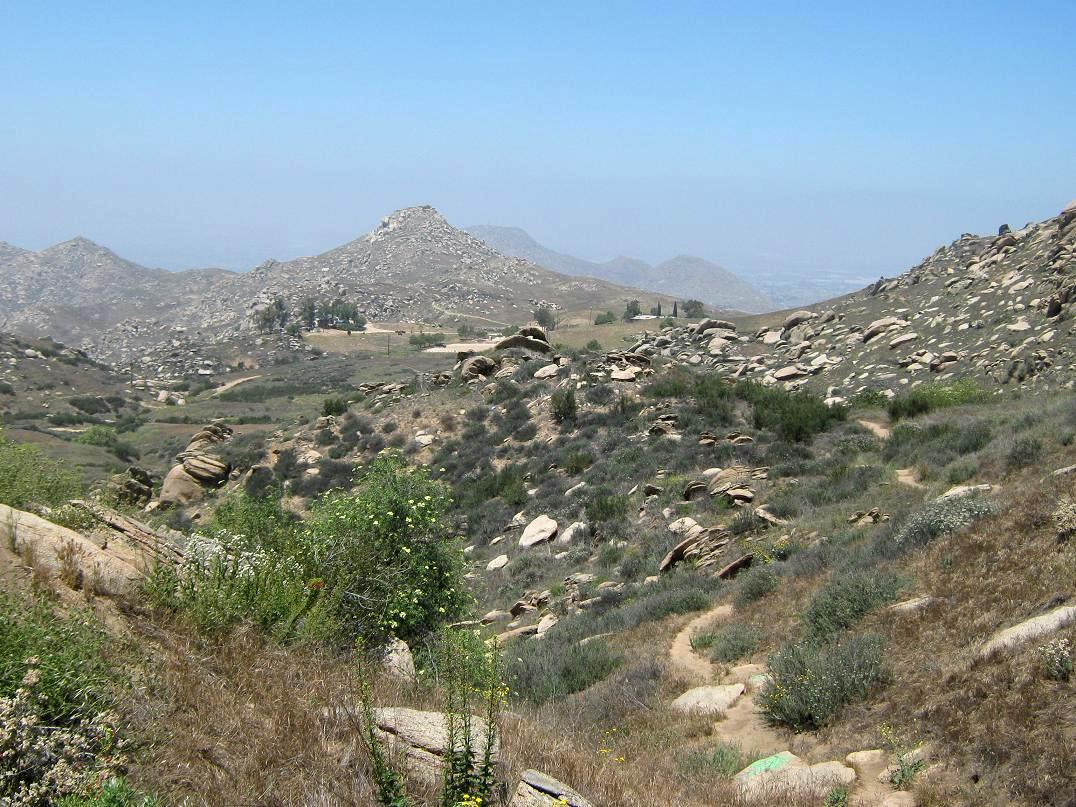
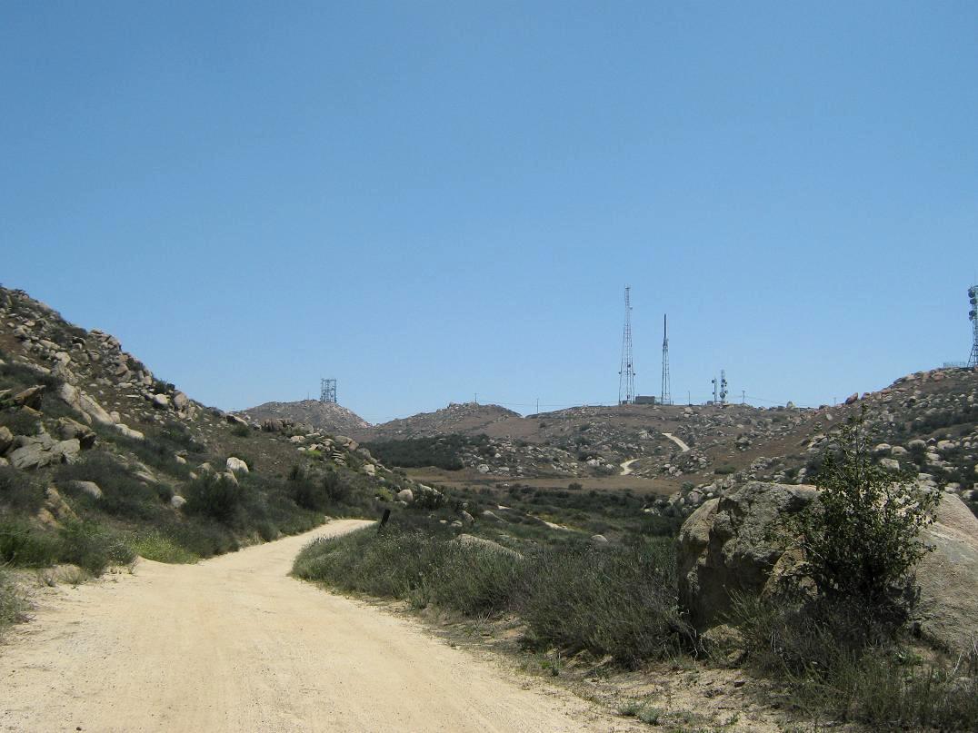
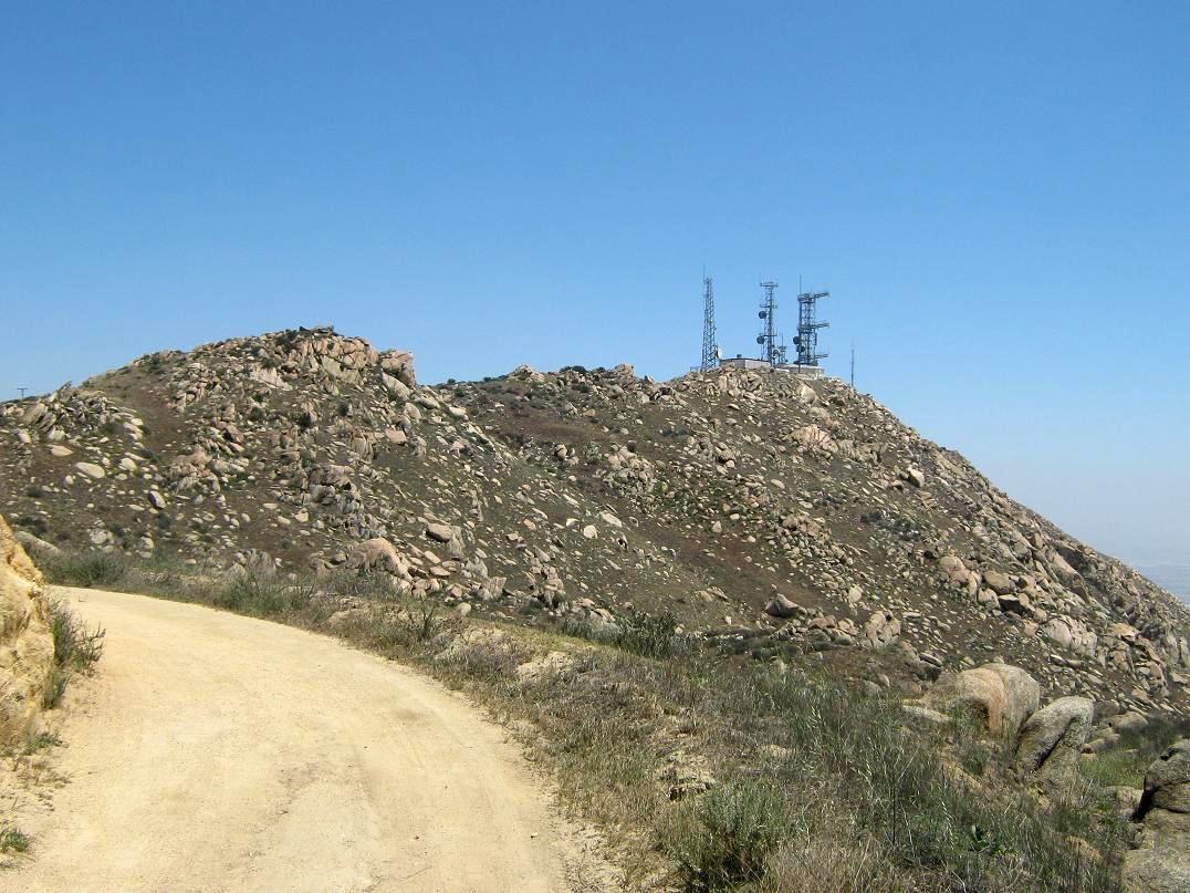
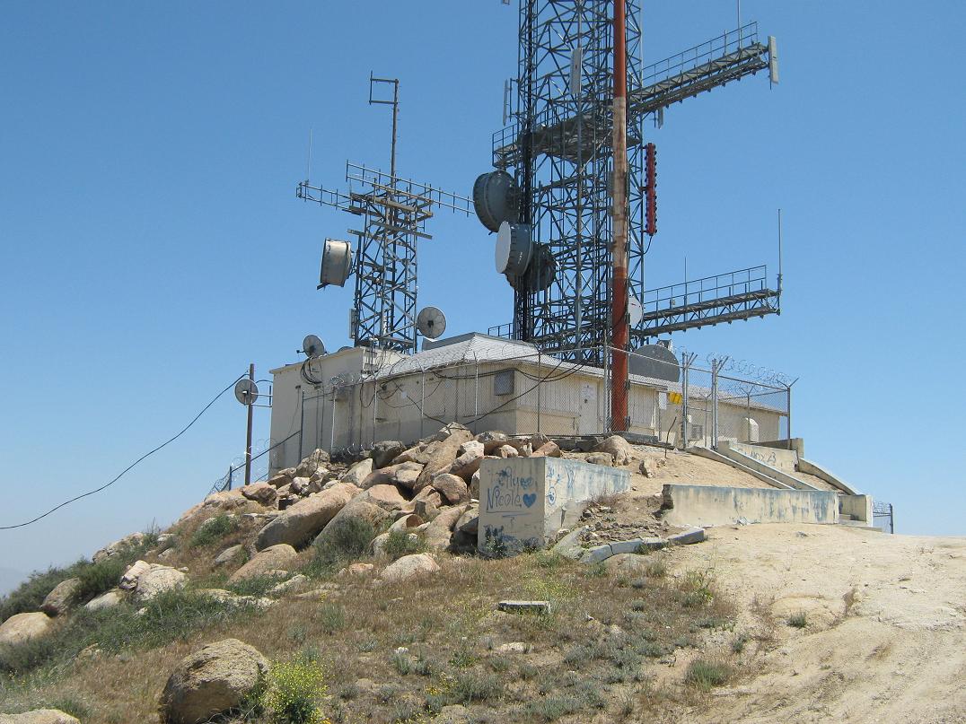
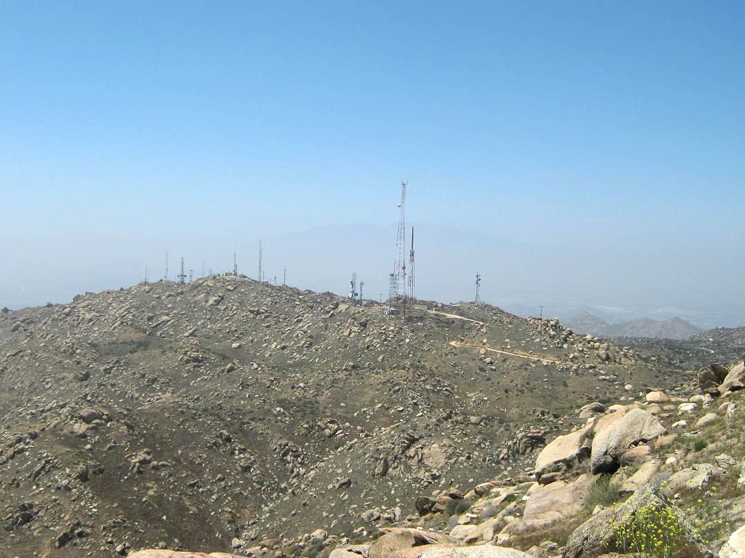
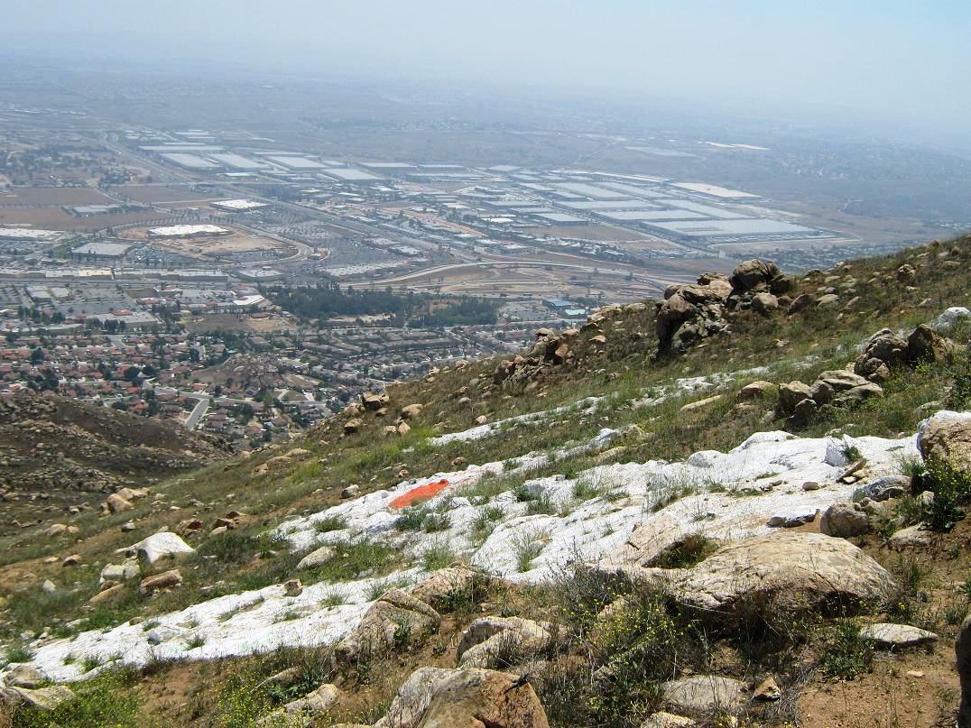
That was around 1990. Fast forward to 2012 and I'm studying the maps of Southern California, looking for peaks to hike surrounding a birthday celebration for my dad's 70th and my niece's 12th. I got to thinking if I actually had hiked to the summit back on my 1990 adventure. Back then, I would have had no idea where the actual highpoint was, and without a map, it's hard to tell just by looking. So I made plans to hike the Box Springs Mountains, this time specifically to its highest point. A bunch of service roads and trails snake up top, so getting to it would not be difficult. I left Arizona about 8 a.m. on Friday the 11th and made the long drive across the desert into Southern California with no troubles except getting a "fix-it" ticket from an Arizona Highway Patrolman for my busted windshield. In California, I left the interstate and followed CA-60 through the hills that separate Moreno Valley and Beaumont. In MoVal, I exited onto Pigeon Pass Road and went north, bypassing Canyon Springs High School where I substitute taught for a year back in 1989-90. I followed the road into the hills, bypassing nice homes, following the road until it became dirt and ended at a parking area, roughly a mile north of the highpoint. As I arrived, some guys were just leaving, and I had the whole lot to myself. It was about 1 in the afternoon, warm and hazy. I got my shoes on and my pack together, paid $4 into the self-pay kiosk, and started the hike, following the dirt road past a gate barring non-authorized vehicles. The presumed route would be the service road itself. Soon, a local coming back from his hike told me of the Spring Trail that cuts off time and distance from the road, and he pointed to it, and so I took it, and this worked well. It was short, but scenic. The terrain up here is scrubby but with a few large bushes and small trees, and as mentioned before, giant granite outcrops everywhere, many quite large and impressive. Within minutes I had covered the length of the trail and I was back on the road again. I followed the road past a few bends and got my first "panorama" view of all the towers. There were work trucks up here and guys doing work. I stayed on the road and worked my way up, dutifully following the road and trusting the map, which showed the highest point to be on the southern tip of the ridge, near where the new "M" is located. I found the spur off the main road and climbed to this highpoint, marked "Box Springs Lookout" on the map. I was expecting a lookout tower, perhaps. The truth was less appealing. On the top sat a big ugly building with lots of towers, and spray-paint markings. It was unbelievably ugly, spectacularly so. The highest rock was outside the perimeter fence so I tagged it and looked around. I was higher than all the other points on the nearby ridges, so I felt good about getting the ascent properly. The views down into Riverside and Moreno Valley were blocked by the gray haze. I can't believe I breathed that for about 20 years. I hiked down off this "peak" and continued south to the last of the buildings, bypassed it and now I was above the big new "M". From below it looks big, but up close, it's lame. It's not a beefy concrete slab like the "C". It looks like they just dumped a thin layer of concrete on the slopes and rocks, painted it white and called it good. Not to show my bias or anything, but the C for UCR is totally more bitchen than the M. Sorry, MoVal. The hike out didn't take long and the whole round trip cost me a couple hours of my time. It was nearing 3 when I got back to my truck. My plans were to drive to Monrovia to stay a night, eat Yoshinoya takeout (with flan), and watch cartoons with my old-time pal "Treetops" Schneider. But it was still early, so I drove down into Riverside and toured the UCR campus, my first time on the campus since about 2003 and my third or fourth overall since I left in 1992. Being a Friday, the campus was calm. Not many students. There were lots of new buildings put up, and it all looked very nice. The main student commons area was all (mostly) brand new, at least from when I was there. I got some photos and also drove around the streets, checking out my old apartments. That was interesting for 30 seconds. I can confirm that I did not "summit" that right tower back in 1990. But it was nice to come back and climb it "for real". I did successfully get to Monrovia and had a merry time watching old Tex Avery classics. The next day, I hiked Mount Lukens in Los Angeles. |
|