
The Mountains of Arizona
• www.surgent.net
|
| Saddle Mountain |
• Patagonia Mountains • Coronado National Forest • Santa Cruz County |
|
Date: March 28, 2026
• Elevation: 5,811 feet ✳
• Prominence: 721 feet
• Distance: 2.7 miles
• Time: 2 hours, 10 minutes
• Gain: 570 feet
• Conditions: Cool and humid with heavy haze
Arizona
•
Main
•
PB
•
LoJ
•
USGS BM Datasheet
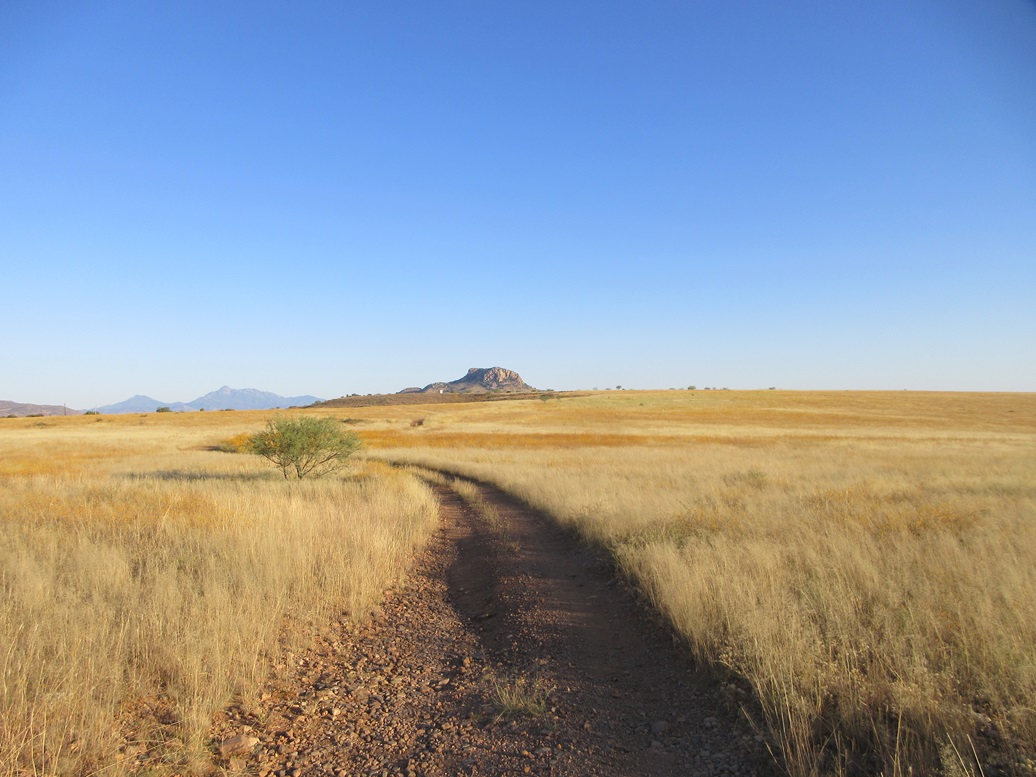
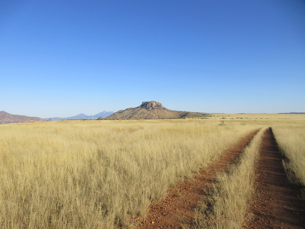
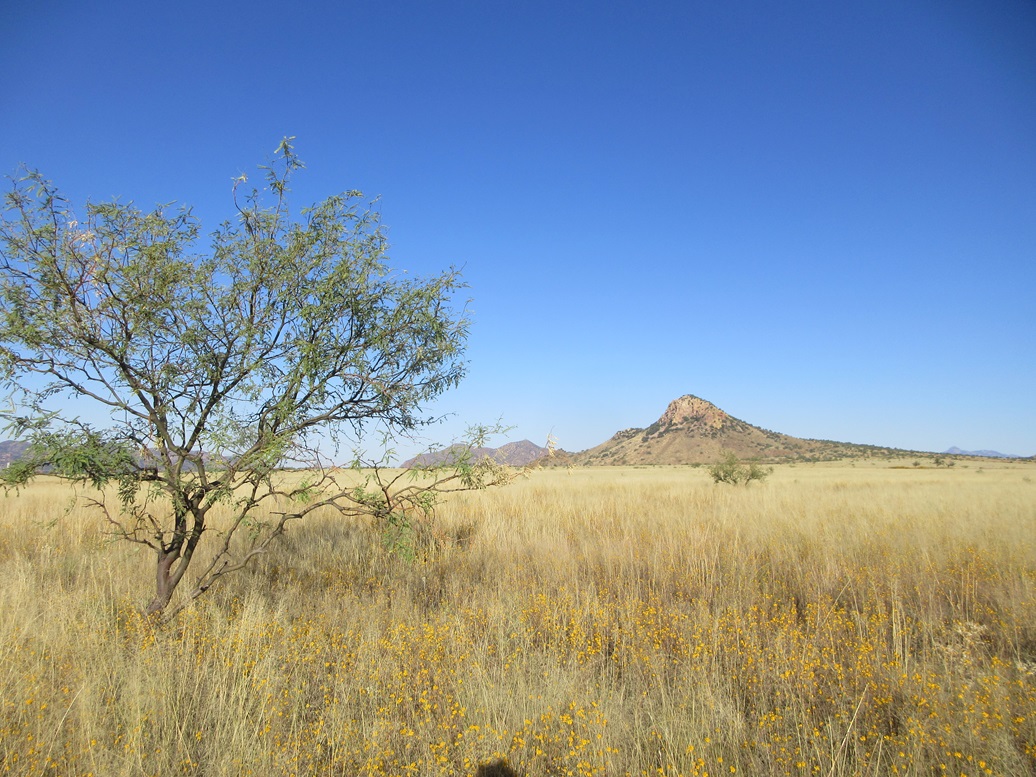
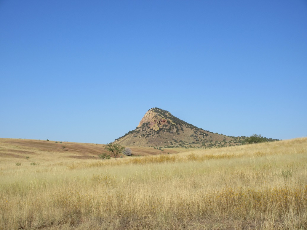
This particular Saddle Mountain rises in the southern Patagonia Mountains, about fifteen miles south of Patagonia. It is an abrupt bump of a peak, with a rocky crown forming cliffs with no foothills, rising above the flat grasslands of Meadow Valley Flat. Because it rises by itself with no intervening foothills, it has a very striking appearance.
On the map, it seems like a simple peak to ascend, aided by an old mining track that gets high up on the peak's northern flanks. I came here 18 months ago to climb this peak, only to be delayed by locked gates and eventually driven away by the heat.
On that visit, which you can read about here, it was still the tail end of the summer heat season. I got an early start and drove old FR-765 north, only to be blocked by a gate, still about two miles short of the peak.
No problem, I thought. Foot access did not seem prohibited, so I hopped the gate and walked some older tracks north, eventually meeting a better track ... which trended northeast, away from the peak. I hiked eventually three miles and was still nowhere near the peak — in fact, I was farther from it now. It was hot, into the 90s, so I decided to bail and return to my car.
I had put in over 6 miles of walking for naught, but at least I learned this route wouldn't work. It was too hot to do any more exploring. As often happens when I bail/fail on a peak, it goes to the back of the line and I forgot about it.
So nearly a year and a half later, I'm picking off a bunch of peaks in the southern parts of the Patagonia Mountains, and I studied this peak again. Newer satellite images showed a brand new road put in by the Forest Service, this being a new re-route of FR-765, which bypassed the private property that had blocked the old routing.
Suddenly, I wanted to come back and retry the peak. I was up early and on the road a little after 6 a.m. from Bisbee. The heatwave had finally broke but it was still expected to be moderately warm. Yesterday had been very windy, and the air in all directions was extremely hazy from the dust. It was also more humid than normal.
In about 90 minutes, I had driven through Patagonia, south on Harshaw Road, then onto FR-58 which angles southeast, then east, rising up onto a large plateau, the Meadow Valley Flat. I was now within the broad San Rafael Valley, notable for its old land grant ranches, some historical points of interest, and the scenery, which was often used for filming old Hollywood westerns.
I found "new" FR-765 and drove north on it about three miles. This road is an excellent road, with a smooth tread and covered in chatty gravel. I came to FR-5530, and angled left onto it. FR-5530 was rougher, but still a good road. It was a two-track in the grass, but no big rocks or bad ruts. Just more cobbles and some leans. I went slowly, and got in another mile, parking in a clearing near where it meets with FR-5558.
It was a quarter to 8 in the morning now. The peak was less than two miles away. It was still hazy with high clouds, so lighting wasn't very good. It was cool but not cold, about 60° at the moment, with no breeze. Some heavy clouds were dropping virga to the south.
I started walking, staying on FR-5530. It stayed a good road and I could have easily driven it. In fact, a quarter mile later is a wonderful wide cleared area, obviously used in the past for vehicles pulling trailers. I was content to walk. It wasn't very far and the scenery was lovely. The yellow grass rose about waist high.
The slope started to steepen slightly. I came to a gate and passed through it, then up a small hill and down about twenty feet. This would be about as far as a typical vehicle would get, 4-wheel drive probably adviseable for the last few hundred yards.
Afterwards, the road degenerated into a steep and rocky track going steeply uphill, then angling right and gaining more elevation, now high up on the peak's northern slopes. It then just ends, a giant boulder lying to the side.
A path continued so I followed it. It stayed level and pased through some mine-tailing slopes, then it ended too. I was not in a good place to ascend to the summit, still about 150 feet higher. I backtracked to that large boulder.
I went uphill and soon picked up a faint use path that angled left and up, staying distinct for about 50 vertical feet. It then meets the base of the rocks, the talus apron that surrounds the summit.
The route then became any opening I could find. I angled left then up, then right, generally going where the openings went. The talus was large but set solidly, as long as I was careful.
I found what seemed like a route and followed it. It charged directly upslope and was sloppy and loose, but it went. I was back on more talus, using my hands in a couple spots to ease up some larger blocks. Then, just as fast, it ended. I was on top. The summit was about a thirty foot walk to my right.
The summit ridge runs about three hundred yards east to west, the west being highest, a small dip between the ends forming the saddle. The top featured a cairn and the benchmark. I took an image of the benchmark and one of the reference marks, then dug out the register.
The register was crammed again with papers, which seems to be a theme for peaks here. Some guy (won't name him) crams about ten extra sheets into the register, when there is already a booklet in good shape with names going back twenty years. I removed all the unused papers. The booklet still has many blank sheets and should last a long time.
I spent about fifteen minutes up top. The weather was calm and steady. Up higher, there was a breeze and it was comfortable, the temperature still in the 60s. There was no activity above me, but some storm clouds way to the south seemed active, probably over Mexico.
Going down, I followed the exact same route through the talus and trees. I went slow and sat and slid on my butt for balance and to avoid unnecessary sliding. Once back on the track, I made good time hiking out, the round trip hike taking just a little over two hours.
After my adventure eighteen months ago, it was especially sweet to come back and be able to drive as close as I did, making the hike a short one. The weather and lighting wasn't so great, but I enjoyed it. The clouds and virga add some effect to the experience.
I drove back out to the main road, FR-58. Now what to do. It was still early, but not cool any more. I had no other hikes planned, so I decided to go for a scenic drive, rather than retrace my route back to Patagonia.
On FR-58, I went east, then left at a Y-junction, now on FR-799, called Canelo Pass Road. This would take me across the main middle part of the San Rafael Valley. I've only driven across the valley once before, in 2005 with my wife, but we were much farther south, down by Lochiel and the border.
The roads were good but I couldn't go too fast, maybe 30 miles per hour over short stretches. It gains elevation then achieves Canelo Pass, where I have been before, when I climbed Pass Benchmark a couple of years ago. I continued north on FR-799 to the scattered village of Canelo, back on pavement, this being highway AZ-83. I then followed that to Elgin Road and back to AZ-82, back toward Whetstone and Sierra Vista.
Things worked out well for me today. The drive in, the new road, the hike and the small amount of scrambling made for a fun hike and a rewarding morning. I am glad I suddenly remembered this peak and finally came back for it.
|



|