
The Mountains of Arizona
www.surgent.net |
|
Peak 4556 • Peak 4780 • Peak 5059 Ruby Road is a historic 35-mile road that runs along the southern tier of the Atascosa Mountains, connecting the Peña Blanca Lake to the village of Arivaca. It is named for the once-thriving mining town of Ruby, which went defunct about 1940. These days, it's a scenic drive through the mountains, almost all contained within the Coronado National Forest. I've been on Ruby Road exactly once, 19 years ago when my wife and I climbed Atascosa Lookout. And even then, we were only on it for a few miles. I had yet to drive its entire length. I was perusing peaks online and found a small hill near Peña Blanca Lake that looked interesting, which got me thinking about foing the whole drive. I found a couple more simple peaks along the way, and suddenly, I had a plan. Being late May, the weather is sunny and generally warm, but in recent days has been milder than usual, with highs only in the mid-90s in the deserts. The expected high today for Nogales was to be about 82°. With an early start, I could hike a peak or two in the morning hours while still cool outside. I left Bisbee at 4:05 a.m., stopped for snacks in Huachuca City, then pushed all the way through into Nogales, then up Interstate-19 to AZ-289 which heads to Peña Blanca Lake. The drive covered about 130 miles and went well, there being no traffic or delays. It was cool outside still, in the high 50s. I was at Peña Blanca Lake about 6:10 a.m..
Date: May 26, 2026
• Elevation: 4,556 feet ✳
• Prominence: 340 feet
• Distance: 2.8 miles
• Time: 1 hour, 10 minutes
• Gain: 534 feet
• Conditions: Sunny and cool, clear skies
Arizona
•
Main
•
PB
•
LoJ
This unnamed peak rises north of Peña Blanca Lake. The lake itself was formed in the 1950s by damming the creek within Peña Blanca Canyon. It's popular for boaters and fishers. Its name in English would roughly translate to White Cliff Lake.
I never got to the lake itself. Just a quarter mile before the lake, I turned north onto a dirt road, FR-4200, which heads uphill toward a water tank. The road also goes by Bellota Tank Road.
The road was rough and rocky, but I went in slowly and eased over and through the rocks. Just past the water tank, the road improved and was a little smoother. I got in about a half mile and parked in a clearing near a gate, near spot elevation 4022 shown on the map.
I got properly outfitted and my pack together, stuffing my snake gaiters into the pack. I started walking at 6:18 a.m.. The gate was in shambles. I was able to step over it. I walked up the road, which headed mainly west for now, bending to the northwest slightly.
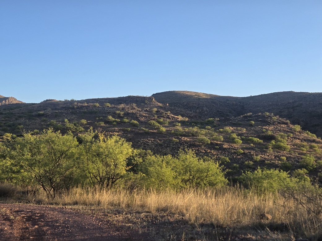
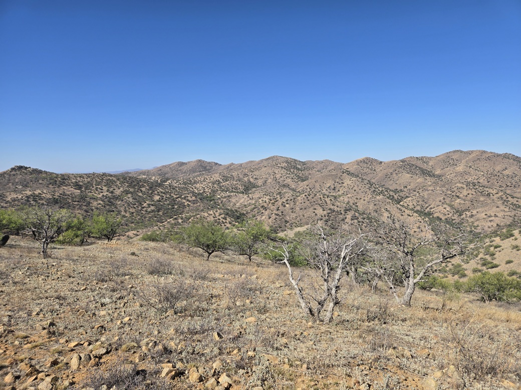
The road was in decent shape, but one steep uphill segment probably would have stopped me in the Forester. I gained about 200 feet in a half mile, placing me on a flat plateau with the peak to the northeast, and some bigger hills with peñas rising on their summits or along the ridges.
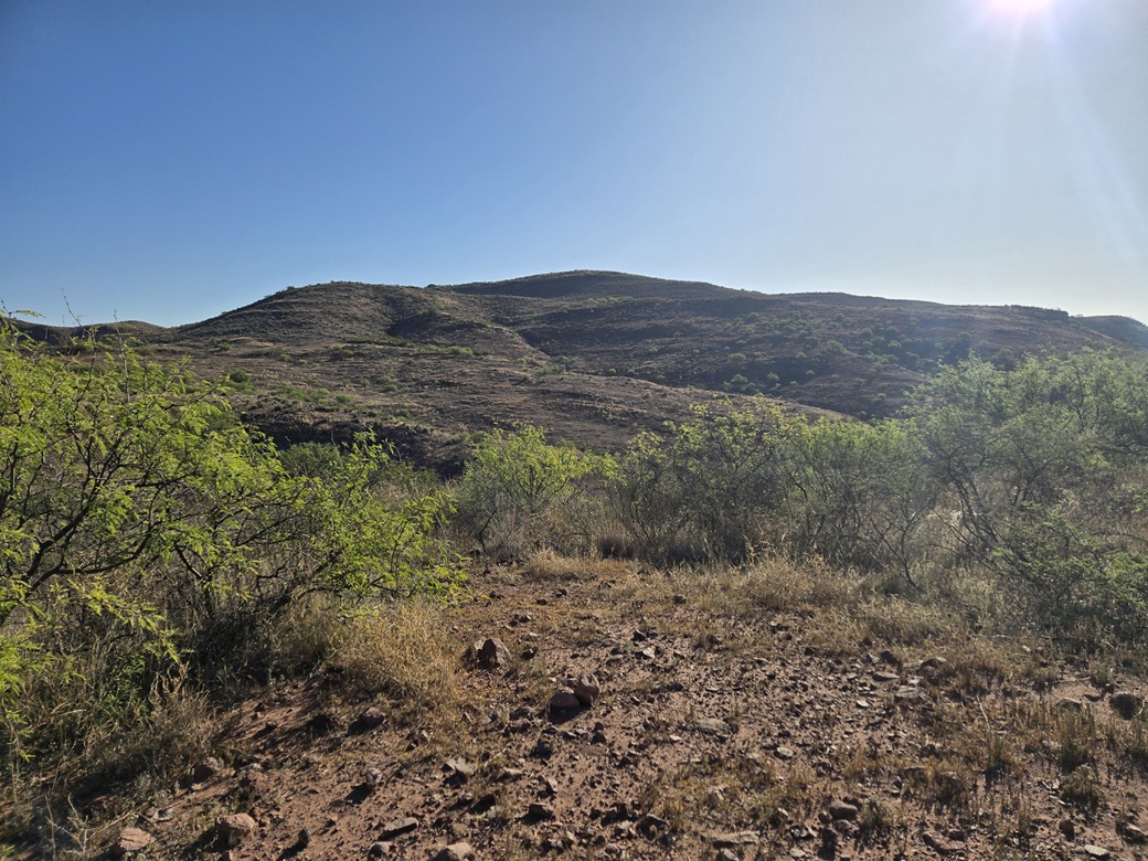
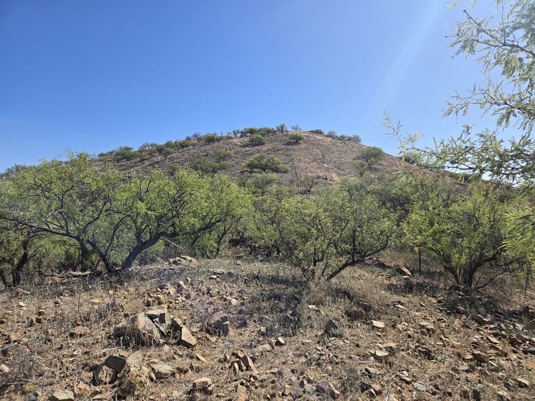
I followed a road branch to the north for a few hundred yards until it was time to leave the road entirely. I was looking at about three-quarters of a mile to the peak. The sun just happened to be rising over the top for now so looking at it proved difficult with the glare.
I walked into the low scrub and grass. I had openings for a hundred yards or so, but then I hit ankle-high grass and pockets of low woody scrub. I sat down and put on my snake gaiters. This is prime snake season, and this time of morning, they could be out sunning themselves.
The terrain was generally friendly, smooth but with the usual abundance of rocks. I gained uphill to a small knob, then dropped about thirty feet to the lowpoint below the main summit hill. Here, the brush grew thicker and I had to find ways through. Game paths helped.
The final uphill segment was a gain of about 160 feet on gentle slope. Toward the top it fed me to a small cliff band. I angled left and went up a heap of rocks, using my hands exactly once. Once atop this, the summit was about a two-minute walk ahead.
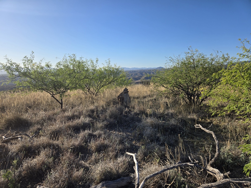
I arrived on to the flat grassy summit about a half-hour after starting. The very top is a rock about two feet high with a cairn on it. Another cairn about ten feet to the north held a register placed by Andy Martin in 2017. There were no names until 2026 until two people, including me, logged a visit. Amy P. was here a few months earlier.
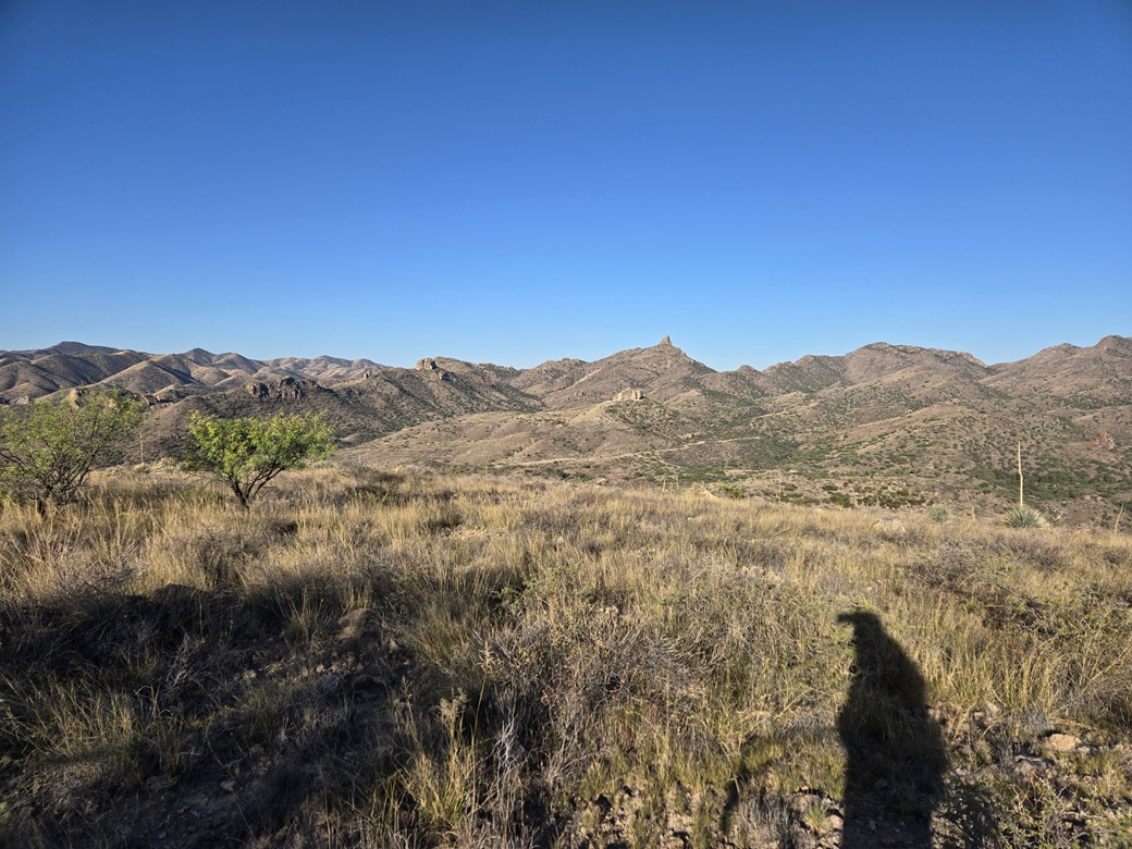
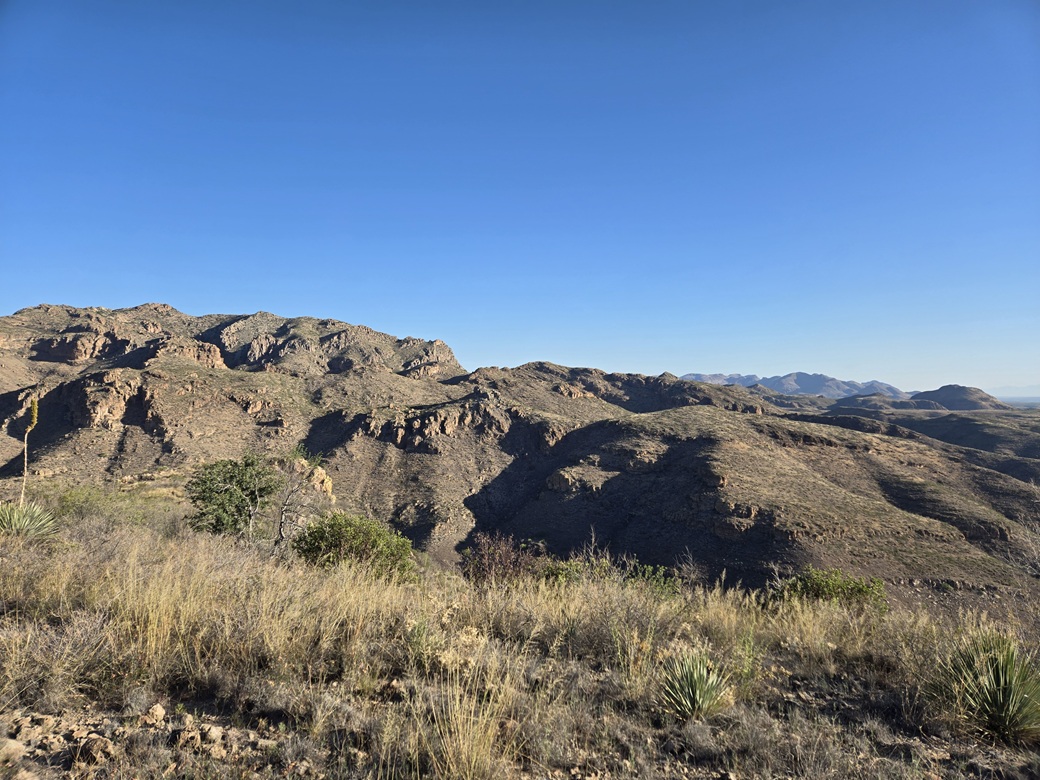
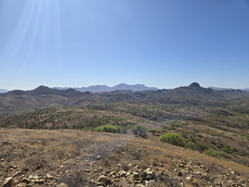
Views were good, mainly north and west. It was still cool but warmer by about 5°. I couldn't see the lake, though. I walked around the area for about 5 minutes but never took a break. I headed down, following my ascent route essentially the same.
The walk out didn't take long either, and I was back to my car at 7:24 a.m.. This had been an easy hike as I expected it to be. It was good to get a peak done. I eased down the road back to pavement, then went about a mile to where Ruby Road (FR-39) branches to the south. Now begind my Ruby Road trek.
Elevation: 4,780 feet ✳
• Prominence: 498 feet
• Distance: 1.2 miles
• Time: 1 hour
• Gain: 500 feet
• Conditions: Sunny and warmer but still nice
PB
•
LoJ
Ruby Road is dirt, but wide and somewhat maintained. However, the tread is often washboarded due to the amount of use it gets, mainly by the Border Patrol. According to the sign at the start, the town of Ruby was 14 miles ahead. My next peaks were a few more miles after that, so I was thinking about an hour to get there.
The road gains elevation and generally hugs the south slopes of the Atascosa Mountains. I got in behind a trio of Border Patrol vehicles, with another behind me. I would see about a dozen such BoPo vehicles today, and just one non-BP vehicle the entire drive.
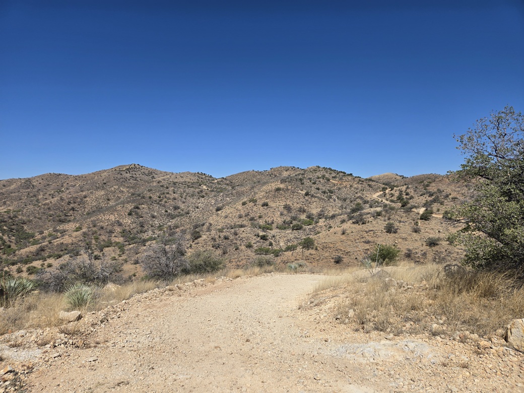
I just moved along at a reasonable pace, which was usually about 15-20 miles per hour, and enjoyed the scenery. The road breaks out into a more open area of the mountains, where the hills are more spread out and "rolling" as opposed to being big craggy peaks. The views were fantastic.
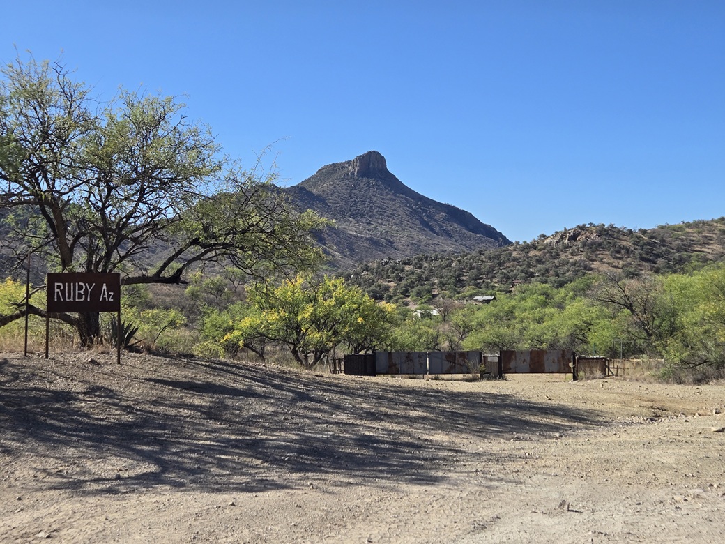
I came upon the ghost town of Ruby. It lies below a prominent mountain called Montana Peak. Ruby was a big-producing mine site for many years in the early 1900s, but declined in the 1930s and went essentially moribund from about 1940 on. It was known as being one of the state's best-preserved ghost towns, everything seemingly as it was when it was abandoned. Tours used to be available, but the whole townsite has been closed to everyone since 2024. I just stopped briefly for a photo.
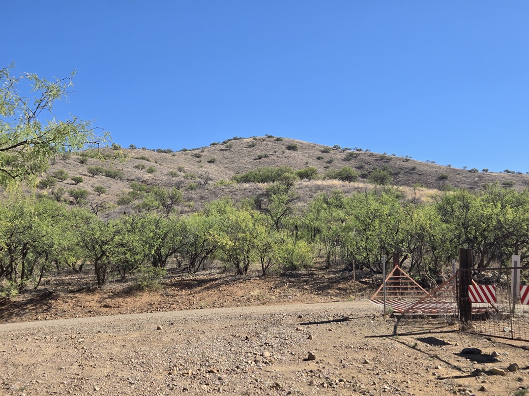
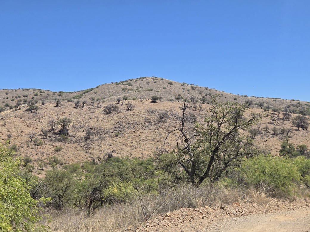
Another few miles got me close to my next two peaks, one north of the road, and the other to the south. I drove to a pass and a cattle grate, then parked in a clearing nearby. My next peak, Peak 4780, rose to the north. Immediately, I liked the looks of it. It was open and grassy. It looked like an easy walk-up.
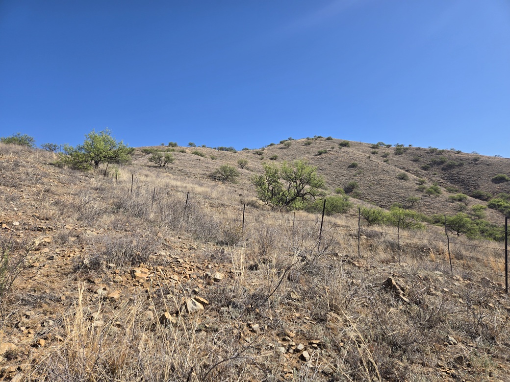
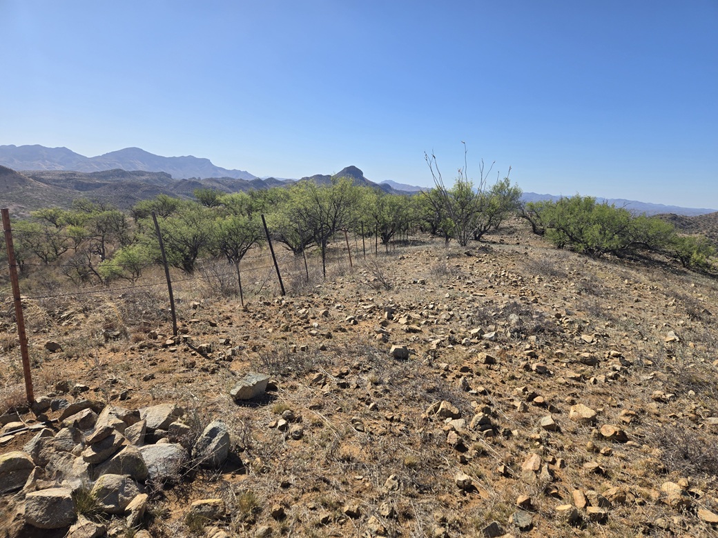
The drive had taken exactly an hour. I started this hike at 8:24 a.m.. It was warmer now, but still nice, about 72°. A fence line runs up the slope so I followed it, and was able to keep to paths and openings that paralleled the fence. The hill was dotted with scattered mesquite trees and that was about it for the trees. The understory was just grass.
I was able to follow paths for about 75% of the hike. I still kept on my gaiters just in case. The fence (and my path) made a bend to the left, up a slope, then a bend right and up one more slope, and that was it.
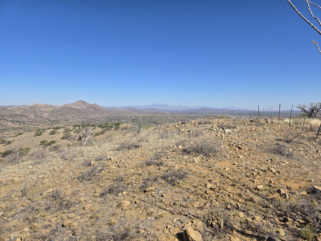
The one-way hike took just 20 minutes. The top features two summits, about 60 feet apart. The northwest one is probably higher and was where the register was buried. The southeast one had more rocks and a couple other outcrops. I visited them all. Views were excellent. I liked the way that Fraguita Peak and Baboquivari Peak lined up from where I stood.
I had a signal and needed to handle some business, so I sat on a rock and made a call. This took about ten minutes, and I was amused I could do this sitting where I was. The rest of the hike down went fast. Including my phone call, the round trip took almost exactly an hour.
Back at my car, I didn't delay much. My next peak was nearby, perhaps a mile of driving. It was noticeably warm now, pushing 80°. Still very nice, but any coolness was long gone.
Elevation: 5,059 feet ✳
• Prominence: 343 feet
• Distance: 3.2 miles
• Time: 1 hour, 15 minutes
• Gain: 670 feet (gross)
• Conditions: Sunny and warmer now
PB
•
LoJ
I drove about a quarter mile to where FR-217, Warsaw Canyon Road, branches to the left (south). I had no idea how far in I would get. If I had to start hiking from here, I was looking at about 3 miles each way. I could do that, but preferred to drive some of the road if possible.
The map lists many of these side roads as "4wd" but I have found them to be passable in my Subaru. I suspect that these roads get regular attention so that the Border Patrol can drive them efficiently. One of the unexpected upsides of driving so close to the border.
I was able to drive in about a mile, gaining about 200 feet. The road was okay, with a couple of marginal spots. I just had to go very carefully through them. It gained up a slope to a cattle grate at a pass, where FR-4185 branched to the west. There was a cleared area nearby, so I chose to park here. I was happy to get this far in.
This would be an all-road walk, no off-trail hiking at all. I would not need my snake gaiters. It was warm now, so I went light, mainly drinks, and starting walking about 9:40 a.m..
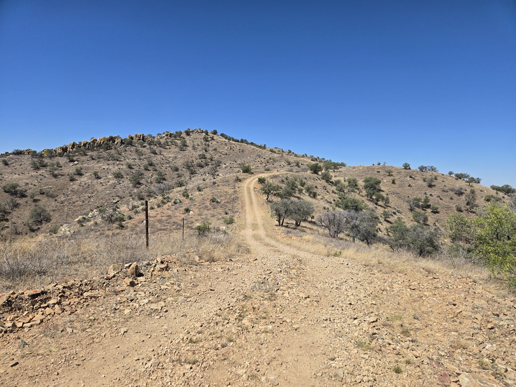
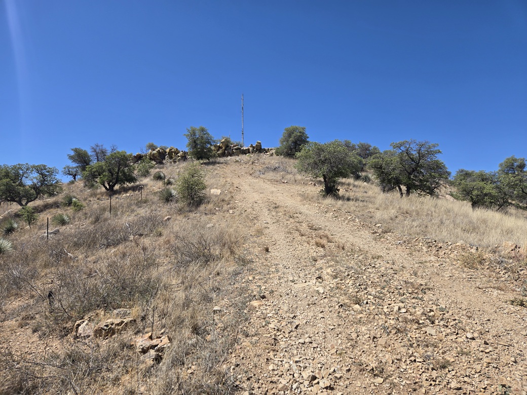
The first segment of FR-4185 was a steep uphill, a gain of about 60 feet. There was a BoPo vehicle perched on the hill's summit, about a hundred feet away. Then the road dropped about 80 feet. I could see my intended peak in the near distance, with an antenna mast on top of it. Nearby hills get to about the same elevation, so the mast helped me see "my" peak better.
I just followed the road. It went up, got level, dropped a little, went up a little, got level again, then dropped a little, all the while the peak getting closer. The main road continues west, but a side track goes uphill to the peak's top, toward the antenna.
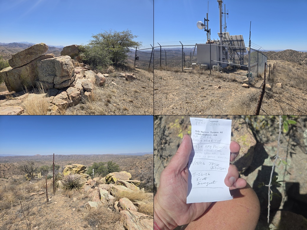
The walking was easy and I made good time. The very top is lined with rocks forming a small cliff. I ambled up through the rocks to where I was on top of the peak. Two large rocks stuck up above the rest. The eastern one appeared highest. I walked to it and tagged it. A register was nearby and I signed in. Like before, Andy placed it in 2017, then there were three of us here in 2026.
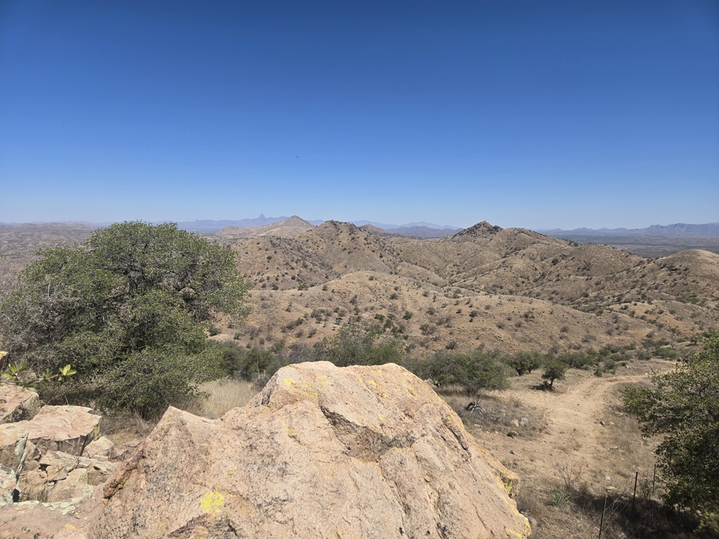
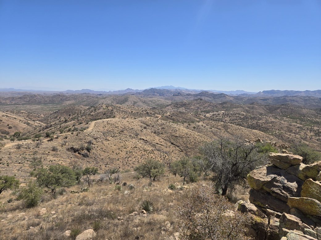
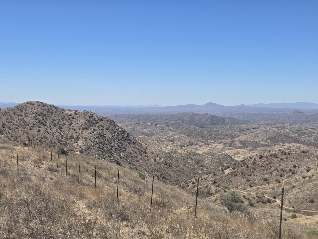
The views were good. I got another neat lining-up of Fraguita and Baboquivari. Looking south, I could see peaks in Mexico, and some of the border wall. I was about three miles from the border. There was some trash on this summit, but not much. A blanket and a couple of bottles.
The walk out went well and I made good time. I covered 3.2 miles round trip, but it went fast because it was all road. I passed the BoPo guy as I walked out. He had driven down but pulled to the side, presumably to send texts to his peeps. My opinion of FR-4185 is that my Subaru would have labored on some of it due to the grades. It had a decent tread. A beefier vehicle would be necessary, 4-wheel drive nice to have for the grades.
It was pushing 11 a.m. and I was feeling good. I was tired and a little sweaty, but happy with a three-peak morning. I had no other peaks planned, but I wanted to complete the drive into Arivaca, and as usual, scout roads to nearby peaks for a future visit.
The drive was enjoyable. It was just a matter to follow the dusty road, wherever it took me. I regained the pavement near Arivaca Lake, still a few miles out of the town. I was soon in the town of Arivaca. I stopped for a snack and drinks at the market. Arivaca is a tiny place with an interesting vibe. I've never spent any appreciable time here, just passing through on my few visits to the area.
I then drove out to the interstate, about a 25 mile drive, then took that back toward Nogales where I caught AZ-82 all the way back into Whetstone. I detoured into Sierra Vista to handle a few errands, and finally got home about 3 p.m., dead tired by now. I had a fun drive and enjoyed the tour of the Atascosa hinterlands. The peaks were fast and simple, but I have ideas for future visits.
|


|