
The Mountains of Arizona
• www.surgent.net
|
| Peak 5114 |
• Galiuro Mountains • Arizona State Trust Land (part) • Cochise County |
|
Date: August 19, 2026
• Elevation: 5,114 feet ✳
• Prominence: 433 feet
• Distance: 3.6 miles
• Time: 1 hour, 45 minutes
• Gain: 880 feet
• Conditions: Very warm and humid
Arizona
•
Main
•
PB
•
LoJ
This peak is just a ridge with a gentle hump of a highpoint, located in the southern foothills of the Galiuro Mountains. It is an area I have yet to explore, so I wanted to come here to climb it, plus get a feel for the roads for possible future visits. I chose this particular peak because it has a road almost to its summit.
Tomorrow would be the first day of classes at ASU, the start of my 33rd year and 65th semester teaching at the university. I would be resuming my pattern from the past two years, in which I make the long drive to Tempe. I wanted something to do to put my mind in a good place as I start yet another year of teaching.
This peak was sort-of "on the way". I left this morning, whereas my classes would not convene until tomorrow. I had a cheap hotel reserved in Scottsdale, and all day to get there. I was out the door at 3:45 a.m.. It was not cool, about 72° outside, and humid, even at this pre-dawn hour.
I followed the routes through Elfrida and Willcox, then followed Airport Road west into the hinterlands, the road eventually becoming dirt, but very wide and maintained. It changes its name to Three Links Road along the way. By now, the sun was barely rising, providing faint light to drive by.
About fifteen miles out of Willcox, the road splits. I took the right fork, now on Muleshoe Road. This road aims northwest and eventually leads to Hookers Hot Springs, tucked hard against the base of the Galiuros. This was new territory for me.
The road was decent, a little narrower but mostly maintained. I had to be careful, since it was easy to get up to 40 miles per hour, then have to slow suddenly for rocks in the road or an arroyo rut. It's open range too, and there were cattle in the road in a couple places. They would run away from me by staying in the road.
The road is marked with mileposts, which was convenient. At about milepost 10, I came to a ranch property, staying left, the road a little more beat-up now. I went in past milepost 11, parking at the base of a power-line pole. The peak rises to the west, just a long ridge as far as I could see from here.
It was already a warm morning, in the mid-70s, but I had shade still, from some hills to the east. I got fully suited: long everything, plus my snake gaiters. I locked the car, shouldered the pack then promptly stumbled on a rock and fell into my car. That was a first for me. It was about 6:15 a.m..
I got up again, then started hiking for real. I was on State Trust land at the moment, but the peak is on private property. Satellite images show some buildings along the road, and I did not want to deal with them or anyone who lived there. I would do an end-run around them and catch the road higher up.
I hiked into a sandy drainage, weaving through trees and grass, then finally up onto the slopes of the bluffs lining the creek. I was in the sun now and it was warm and stiflingly humid. It was already uncomfortable and I was sweating heavily.
The ground was covered in low grass, just open enough to where I could see the ground and my feet, obviously on the lookout for rattlesnakes. I picked a slope and went up it, now on its long bluffy ridge. The bigger brush was spaced out and I made good time. Occasionally the grass would get thicker and I'd have to step slowly and carefully.
About ten minutes in, I came to a fence which I was able to step over very carefully. I continued upward, just following the ridge. In another five minutes, I came upon the road itself, which was a relief.
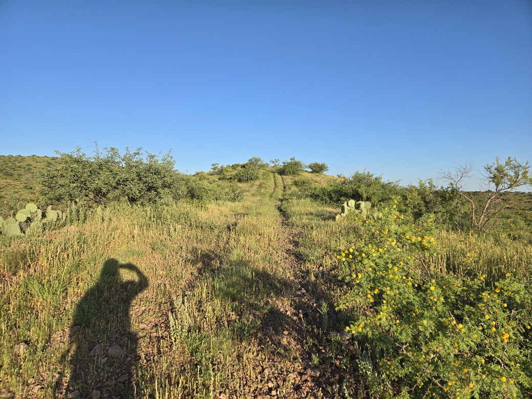
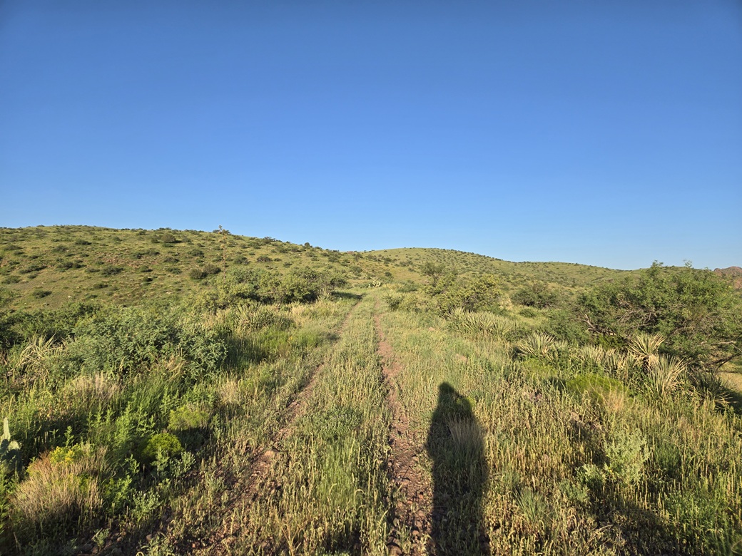
The road was just a two-track with grass down its middle and often grass encroaching from the sides. It was open enough where I could see most of the ground, most of the time. It gains steeply then gently, bending west then southwest. Finally, I could see the summit hill in the distance.
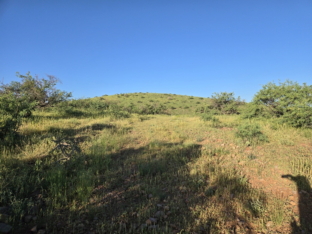
At a junction, I went left and steeply uphill, then stayed on the rack as it gained a lower hill, cutting south. It then drops about 40 feet to a saddle, directly below the summit.
I went left again, on what was barely a track, almost completely covered over by grass now. I kept to any meager openings and was soon on the high ridge. Another five minutes and I was on top. The one-way hike had taken about 50 minutes.
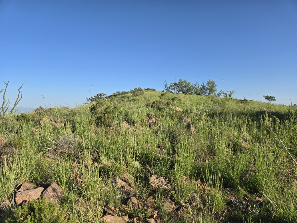
The summit was very grassy, up to my thighs. I looked for a cairn or a register, but found nothing. Amy was here last year. Before her, Mark N. was here about 35 years earlier, this according to Lists of John. Bob Martin also climbed this peak but no date is listed. He would have been here in the early 90s, too.
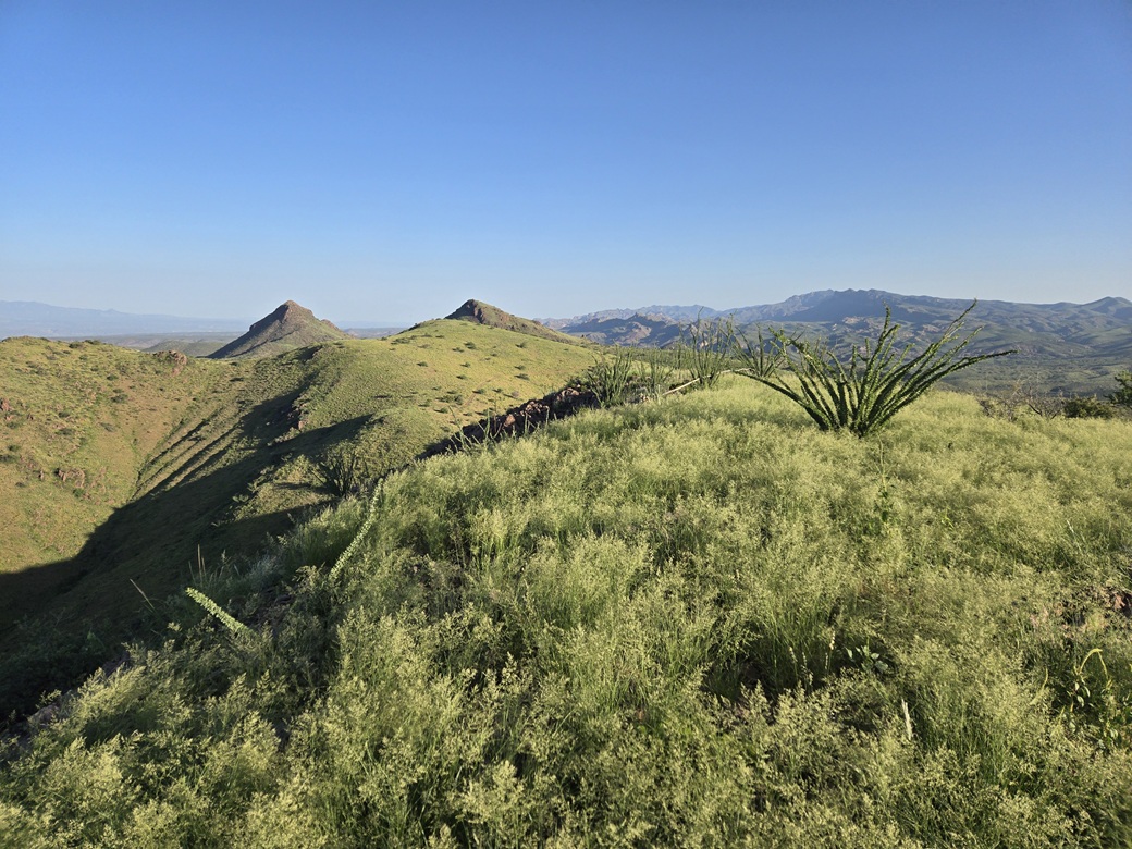
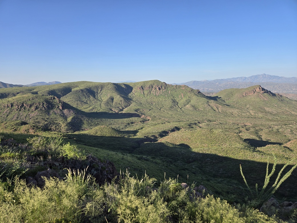
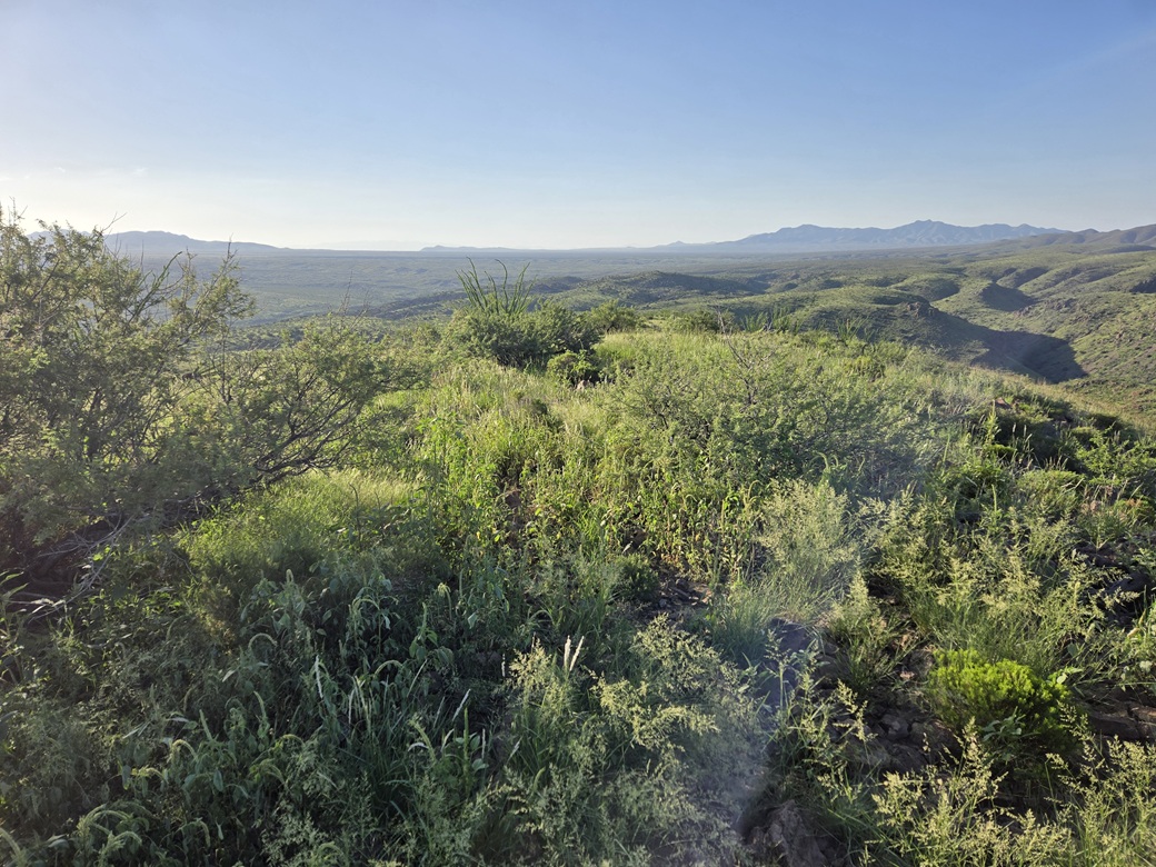
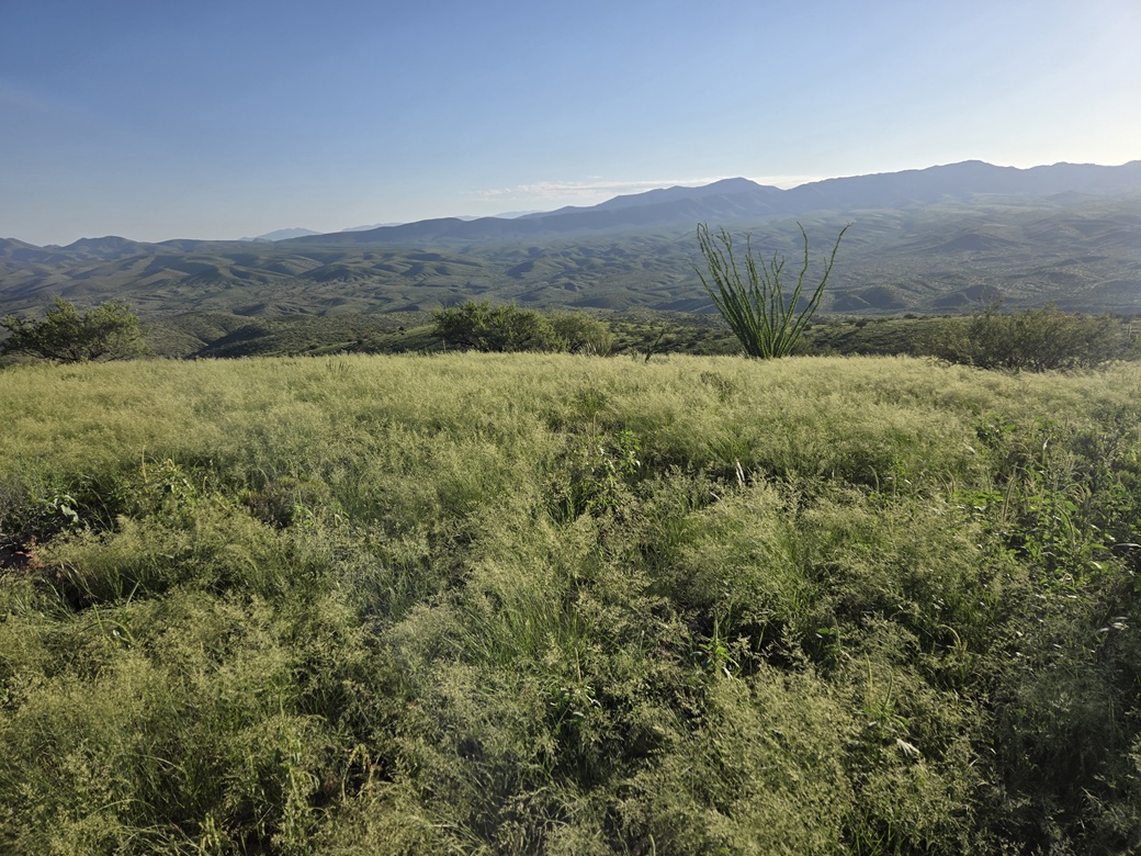
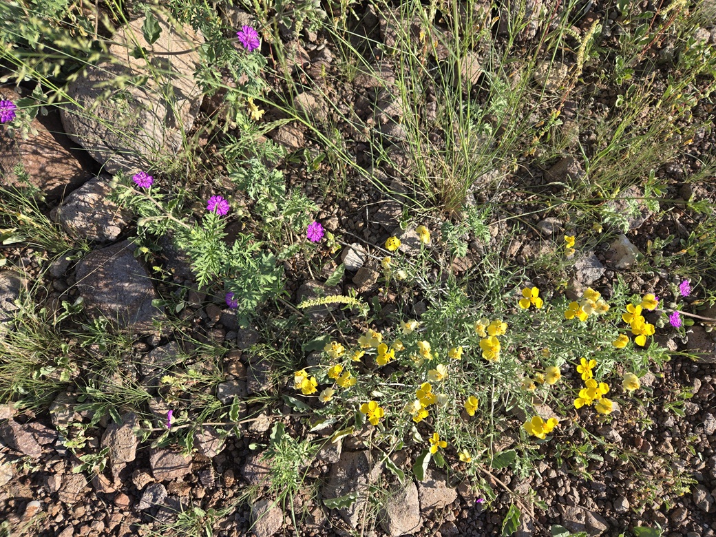
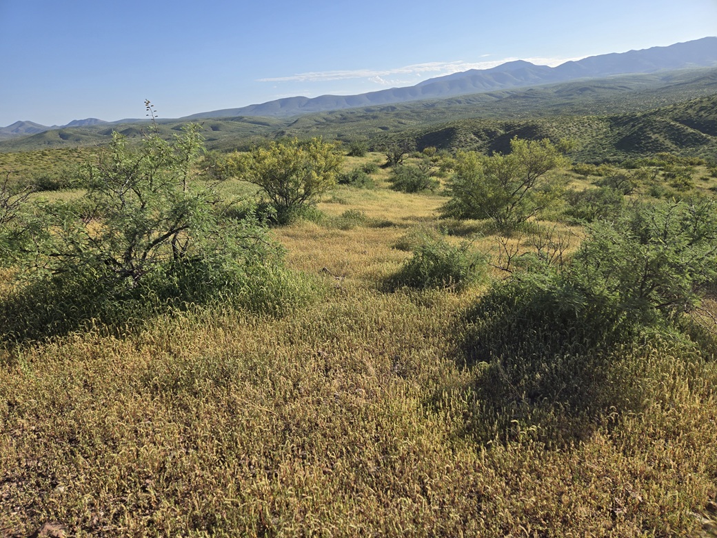
The views were pretty good. It was green everywhere. I got some images of the surrounding ridges and peaks, but I did not stay long. I started down, getting back onto the tracks, then on down back to my car.
The egress hike went fast, going downhill the whole way. I got a little confused in the creek drainage, so I just picked a line and got myself back to the road, then followed the powerline poles back to my car, about a 200-foot walk away. It was just shy of 8 a.m..
I was drenched in sweat. I peeled off my clothing and changed into shorts for the drive out. It was already in the mid 80s and the humidity was still very heavy. The road worked well for me on this hike, allowing me to see my feet and the ground better. I never saw any snakes. I actually didn't see any wildlife.
So now to get to Tempe. I drove back south and southeast on Muleshoe Road to Three Links Road, then followed that west for another 15 miles to where it connects with Cascabel Road north of Benson. This road was in good shape but sandy, likely due from water that ran over it from recent storms.
Once down onto Cascabel Road, I had a decision to make. I could go south into Benson and just catch Interstate-10 all the way into Tempe. However, that pinch-point at Empirita Road could be trouble. There's no way to know just how bad the traffic is and I did not want to take any chances. Although I did not want to, I decided to go north on Cascabel Road, which is also known as Redington and San Pedro River Road. This road eventually connects to pavement near the mining town of San Manuel, thirty miles away.
I just drove slowly and enjoyed the views. It was very warm and dusty, although mostly clear for now. It's a pretty drive, but not one I like to do often. I stopped in San Manuel for gas and snacks. I had driven over 80 miles on dirt road today.
The remaining drive went well. I followed AZ-77 west to Oracle Junction, then AZ-79 into Florence, then US-60 through Apache Junction into Tempe and Scottsdale. By now, it was hot, about 105° going by my car's thermometer.
I have mixed feelings (as I usually do) about starting another school year. It's still very hot and I really did not want to be back in Greater Phoenix, but I do enjoy teaching and once I get my first classes out of the way, I feel a lot better. I hit my first "lane ends merge left" signs with all the orange cones on Rio Salado Road near the Loop-101. Yup, I'm back in the big city.
I stayed at my favorite cheapy hotel in Scottsdale, cleaned up and ate something. Turner Classic Movies was showing Gone With The Wind. I tried to watch it but lasted ten minutes. I've never seen it all the way through. It has beautiful production, but the story (to me) is dull. It's just one long soap opera. I watched something on NatGeo about some animals, but did not pay a lot of attention.
The night was interesting as heavy storms, hail and dust moved into the city. The thunder kept me up for a little bit during the night. The next day was hot and sticky. I went onto campus, steeled up some courage, and taught my two classes. Things seemed to go well, which I hope portends for a successful 2026-27 school year.
|

|