
The Mountains of Arizona
www.surgent.net |
|
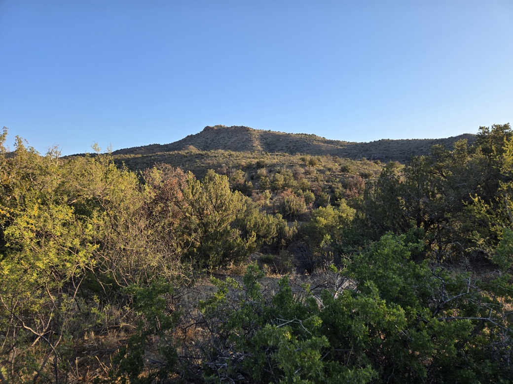
Peak 6299 • Harris Mountain These two peaks rise in a grouping of mountains northwest of the town of Portal in eastern Arizona. They are set apart enough from the main Chiricahua Mountains to be considered its own little subrange. I have never explored this area, and have only been in Portal once, back in 2007 when I came here to climb Silver Peak. These peaks lie outside of the Coronado National Forest, on a patchwork of private, State and BLM lands. As such, access was uncertain. I had one peak in mind that I knew I should have no trouble in getting access. I could then use the remaining time to drive around, scout the roads, and if possible, hike a second peak. I was out my door at 4:10 a.m., driving through Douglas on AZ-80 and into the San Bernardino Valley, where Arizona and New Mexico meet. I entered New Mexico briefly, passed through the town of Rodeo, then followed the roads back west into Arizona. I was soon "in" Portal, which is just a scattering of homesteads and a very modest business district. It was still early, but the sun was up. I wanted an early start. It has been warm-to-hot just about everywhere. Highs in Rodeo-Portal would be in the low 90s, morning lows in the high 60s. Thunderstorms might build later on. As I drove into Portal, it was sunny and clear, temperature about 70°. The one-way drive covered about 85 miles and took me a little over 90 minutes. Just past Portal, where the road turns south toward Silver Peak, I stayed straight, now on Paradise Road, a dirt connector that leads to the small hamlet of Paradise. The road was in good shape. It hugs the base of the peaks. Limestone Hill is the main peak here, while Peak 6299 is the ranked peak along a common ridge a few miles to the west. The road enters the National Forest along the way, now designated FR-42B. I went slowly a couple more miles, looking for a track that veers north toward the peaks where the road makes a sharp left bend. I found it, pulled into it (it wasn't easy, the tread was loose and I spun my tires more than once), and parked about fifty feet off the main road. It was 5:45 a.m..
Date: June 14, 2026
• Elevation: 6,299 feet ✳
• Prominence: 544 feet
• Distance: 2.5 miles
• Time: 1 hour, 10 minutes
• Gain: 950 feet
• Conditions: Sunny and warm
Arizona
•
Main
•
PB
•
LoJ
I got myself dressed, which meant long pants and long sleeves as I would be going through some brush higher up. It was pleasant outside, but not cool. The air temperature was in the low 70s, but the sun, even though still low in the east, was intense and the thermal effect was noticeable.
I chose this peak because there is an old track that gets most of the way toward the summit, and most of the hike is on Forest land. The summit lies barely outside the forest boundary, on a section of private land.
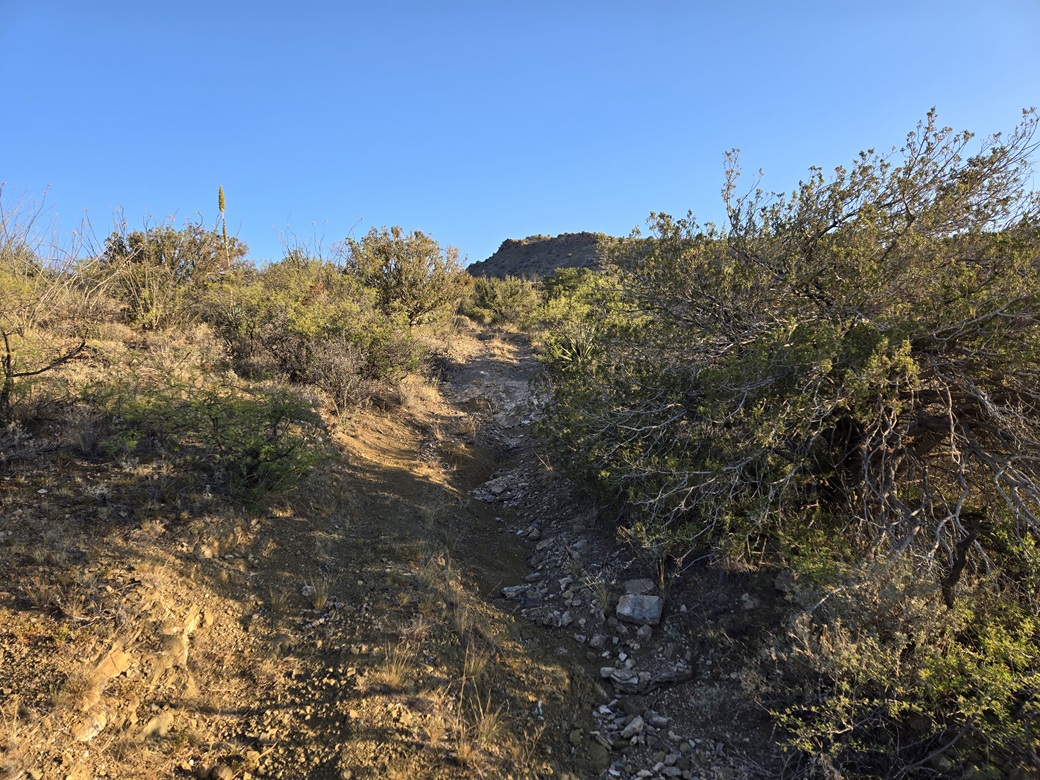
The road drops about forty feet, angling right toward a drainage, then within the drainage, makes a hard left, now angling uphill, aiming northwest. The road is in rough shape and there was no evidence of any recent vehicles on it. An ATV might get up partway.
Hiking the road was easy but tiring. It was steep, and often very messy, with loose cobbles, heavy ruts and erosion, and sections that were just gravel on top of bedrock. I got into a slow but steady pace. In the sun, it was quite warm. In the shade, it was comfortable. Problem was, there was almost no shade down low.
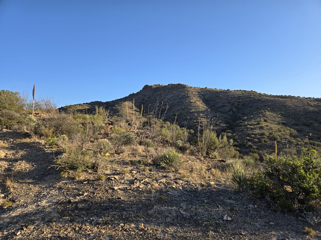
The track gets about halfway up when it levels. This is the end of the theoretically drivable part of it. Beyond it, the track continues up a steep slope, now just two faint lines in the grass and low scrub. I could still see my feet and most of the ground, but was mindful of a snake out sunning itself. I had my gaiters in my pack just in case.
This portion of the track tops out on a ridge, then for all intents, ceases to be a track. I continued uphill, following what looked like a footpath. This ended at another ridge a little higher up, amid a couple larger pines. The fence forming the boundary of the Coronado Forest was just beyond. To my surprise, there are some power lines that run through here, parallel to this fence.
I stepped over the fence. I had about 350 vertical feet to the top, but it looked friendly. I followed a path briefly but it stayed level and trended away from where I was headed. I then just busted uphill, aiming for some low cliffs up ahead, about 200 feet above me. The terrain was brushier, but with lanes and game paths. Also, I was back in the shade, which helped a lot.
I came upon the first of the cliffs, angled to the right and up a steep slope between it and another larger cliff wall. This put me on the uppermost ridge. I turned right and started up the steep slope ahead of me.
This also went well. The brush stayed light, I stayed in the shade, the footing was solid, and it never got too steep. To my surprise, this led me right to the top. No false summits to worry about.
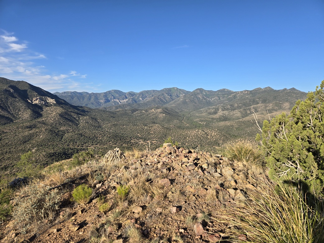
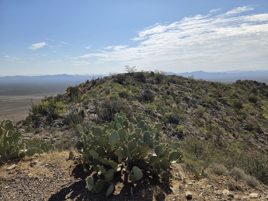
The one-way hike had taken me about 35 minutes, covering about 1.25 miles when all the wiggles are included. The top was an open mound of rocks and low grass, with a cairn at its south tip. I was back in the sun, but with a breeze which was refreshing.
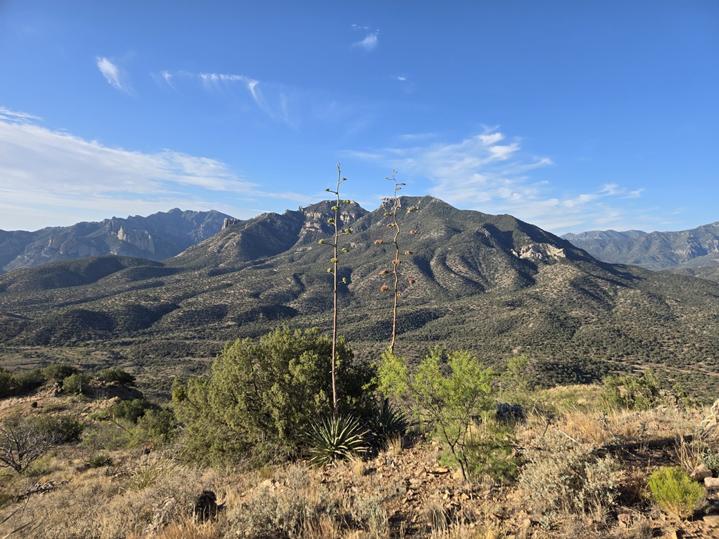
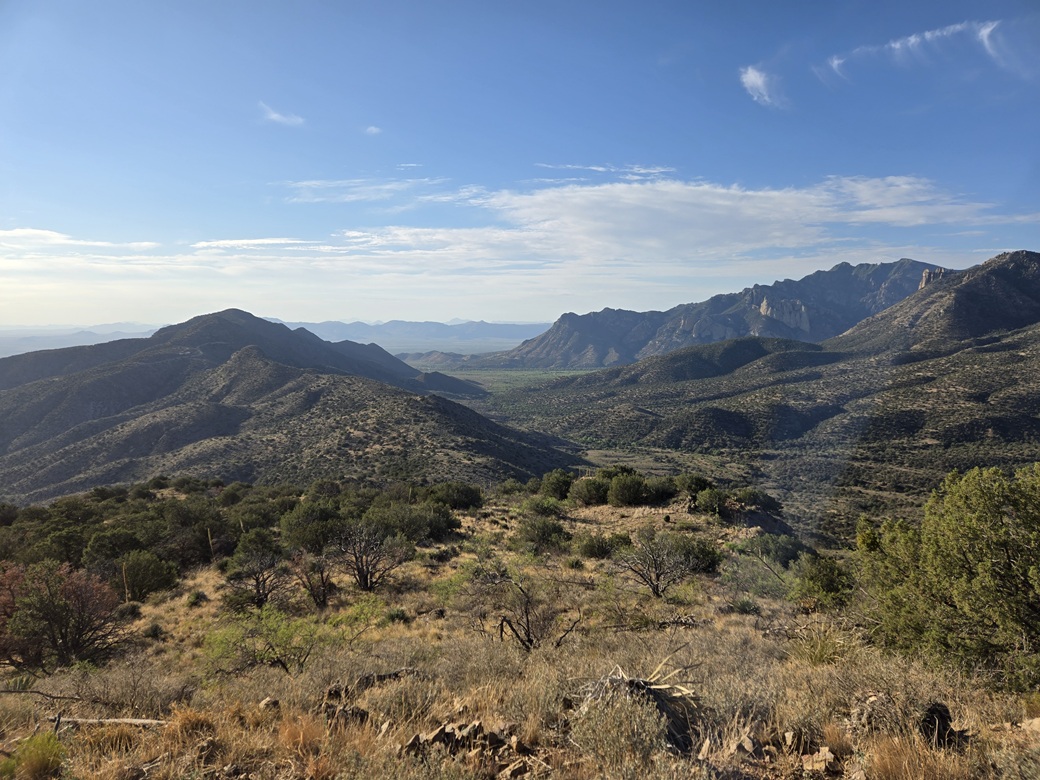
The views were fantastic. In particular, I got a great view looking south into the Cave Creek Canyon, the "Yosemite" of Arizona. It is truly impressive. I also had a fine view of Silver Peak, and of the narrow, odd-shaped spires called The Fingers on its eastern slope.
I found the register within a bottle, but it was rotted out from the moisture. The papers disintegrated as I pulled them out. Lists of John shows just 4 visitors here including me, the previous one being Bob Packard in 2013. Judging by what I could read, a few others have been up here, but not many. I tore of a piece of fresh paper from my own stash, signed my name to it and put it in the bottle. I don't expect it to last, though.
I didn't spend too long up top, about five minutes. As much as I enjoyed the views, it was warm and I was getting hassled by insects. I descended by following the same route, and once back on the track, made slightly better time. I could not go fast as the loose rock made most steps precarious, subject to sliding. Even so, I was out in about 25 minutes.
It was now about 7:15 a.m.. I piled into my car and started it up. I wanted to be moving sooner than later as my window of tolerable temperatures would be closing soon. It was already in the low 80s at my car.
Elevation: 5,639 feet ✳
• Prominence: 799 feet
• Distance: 2.1 miles
• Time: 55 minutes
• Gain: 850 feet
• Conditions: Sunnier and much warmer
PB
•
LoJ
Back on FR-42B, I followed it west toward the community of Paradise. The road is decent but narrow at times, and often very curvy. Most vehicles should be fine on it in dry conditions. As it descends toward Paradise, it improves slightly.
Road 42B meets Turkey Creek Road within the valley hemming in Paradise, now out of the Coronado Forest and back on private land. Paradise is just a smattering of homes hidden within the trees and hills. Wikipedia says it's a ghost town, but it is evident a few people live here, maybe a few dozen.
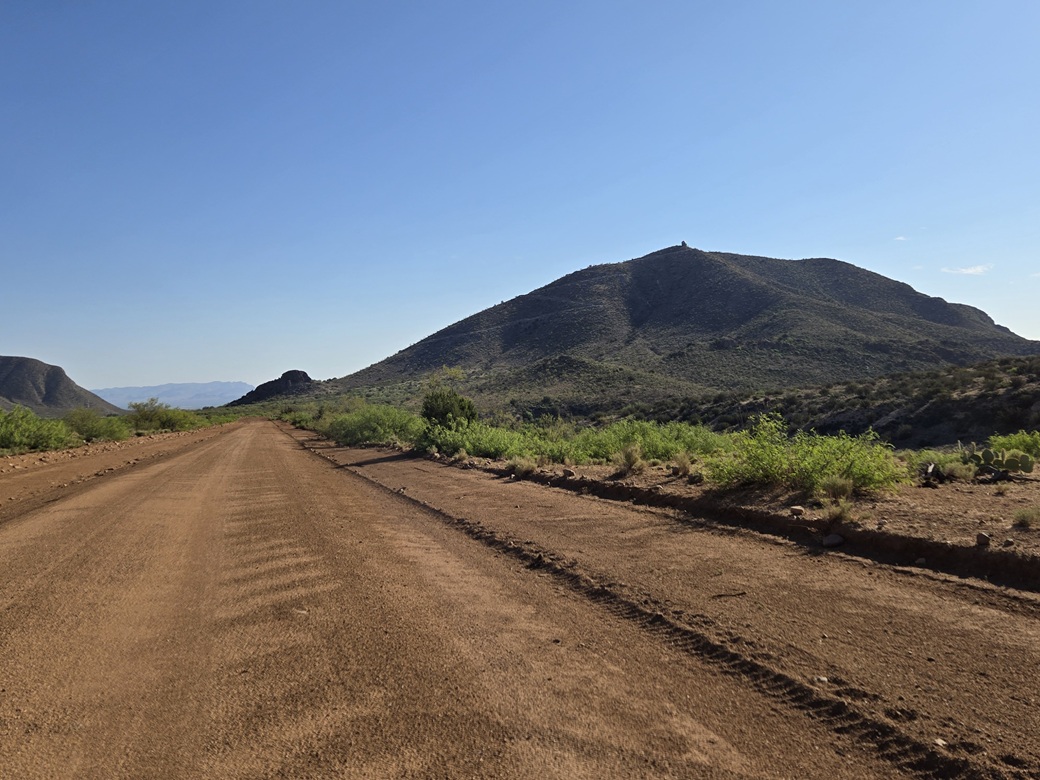
I continued north on Turkey Creek Road. It leaves the confines of the mountains and opens up into a broader desert valley, the road by now very wide and well graded. Up ahead was Harris Mountain.
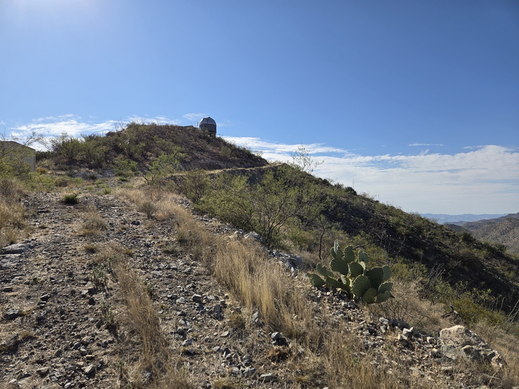
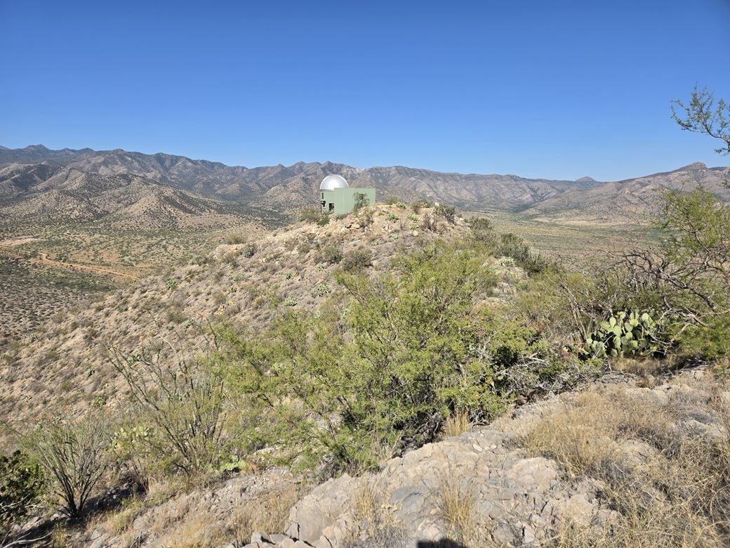
I was interested in this peak because it had a road to its top, which by now would be most welcome. It was very warm and I did not want any bushwhacking. There is a structure on top of the peak that is visible from below. It looks like an observatory, with a rounded dome atop a cylindrical base.
Finding information about this structure is essentially impossible. Amy P. mentions it at HikeArizona, but she did not know what it was. Any online search comes up empty. The "A.I." summary is completely wrong, of course. I did find an image someone took of a sign that gives a tiny amount of history about the peak and its name: see this image from Flickr.
I drove to the base of the mountain, to where the road starts upwards. It is signed as Camilla Way, with a regular street sign. There was no gate, no fencing or barriers, no signs prohibiting access, nothing. Just the road going uphill.
At the very base, I was on State Trust Land. The rest of the mountain is private, but who owns it, I have no idea. Seeing no prohibitive signage or barriers, I decided to take my chances and hike it. I parked a few dozen feet up the road, put my State Lands placard in the window, left a note explaining my presence, and hoped for the best. It was 7:45 a.m. now, and toasty, in the mid 80s.
The first leg of the road gains toward an old mine shaft. This road was possibly drivable by a Subaru, but it was steep. The road then bends right. Up ahead was a gate, but just a metal arm stretching across, no fencing on either side, no signage. I walked past it and continued upward.
The road hereafter is rough and very steep, although a beefy 4-wheel drive vehicle would be adequate. I saw no evidence of recent tracks. I was moving fast, just going from point to point, turn to turn. About halfway up, the building appears again.
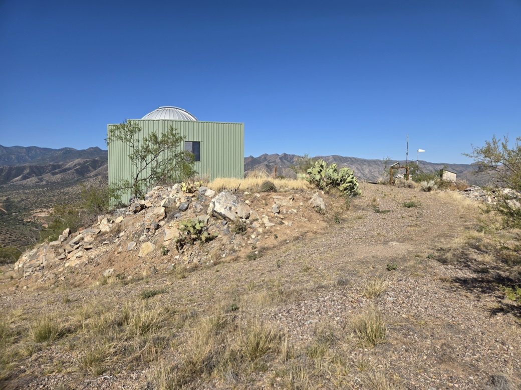
Soon, I was on the home stretch. Lower down is a water tank and a shed, with pipes connecting to the structure. The road curls up toward the structure and ends. Up close, it looked abandoned and slightly haggard, but not trashed out. And it most definitely looked like an observatory dome, even including the part that opens up to allow a telescope to look out from. There were no vehicles or any hints of recent visitation.
Honestly, I had no interest in the structure and never got closer to it than the road. The highpoint is what I wanted. It was the next bump to the east, about 300 feet away. I had to descend off the road about twenty feet, down to a low point, then up to the top. It was brushy and there were many insects.
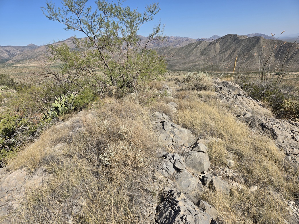
The top was open and rocky, with grass and low scrub. I could not find a register but I didn't look very hard. I snapped my one or two images and started right back down. I had hiked barely over a mile with about 850 feet of elevation gain in a half hour. Like I said, I was hustling.
I got myself right back to the road and gave the building one last look. Later, I would try to find more information online. It does show up on the various realtor websites. So maybe it is or was a home at one time. It seems like a lot of work and money to knock in a road and to build such a fancy structure up here. There must be more history that I am unaware of.
As for me, I just got busy walking down. The tread was such that I could jog-walk a lot of it. I never really stopped. I wanted back to my car as soon as possible. The outbound hike took just 20 minutes, and under an hour overall. It was not warm anymore, it was officially hot. I was beat. I piled in and gulped down some water I had stored. It was icy, but mostly melted, and perfect at this very moment.
I continued north on Turkey Creek Road to a Y-junction, going right. This is Foothills Road, and it curls southeast and comes back to Portal about ten miles later. I scouted some peaks for a future visit, but there'd be no more hiking today.
I returned to Highway 80 in Rodeo, then followed it south back into Arizona. I took the drive slowly. There is never any traffic back here and I like the scenery. I stopped in Douglas for gas and snacks, then on home, arriving about noon.
The day had gone well and I was pleased to get in both peaks. That area is very pretty, but any return visits will have to wait until things cool about twenty degrees.
|


|