
The Mountains of Arizona
• www.surgent.net
|
| Cold Spring Mountain |
• Apache-Sitgreaves National Forest • Big Lue Mountains • Greenlee County |
|
Date: July 23, 2026
• Elevation: 7,047 feet ✳
• Prominence: 603 feet
• Distance: 7.4 miles
• Time: 3 hours, 50 minutes
• Gain: 1,530 feet (gross)
• Conditions: Sunny, very humid
Arizona
•
Main
•
PB
•
LoJ
Cold Spring Mountain rises in the Big Lue Mountains of Greenlee County. It is the next big peak northwest of Big Lue Mountain and is easily seen from the highway, AZ-78. It has an attractive trapezoidal shape.
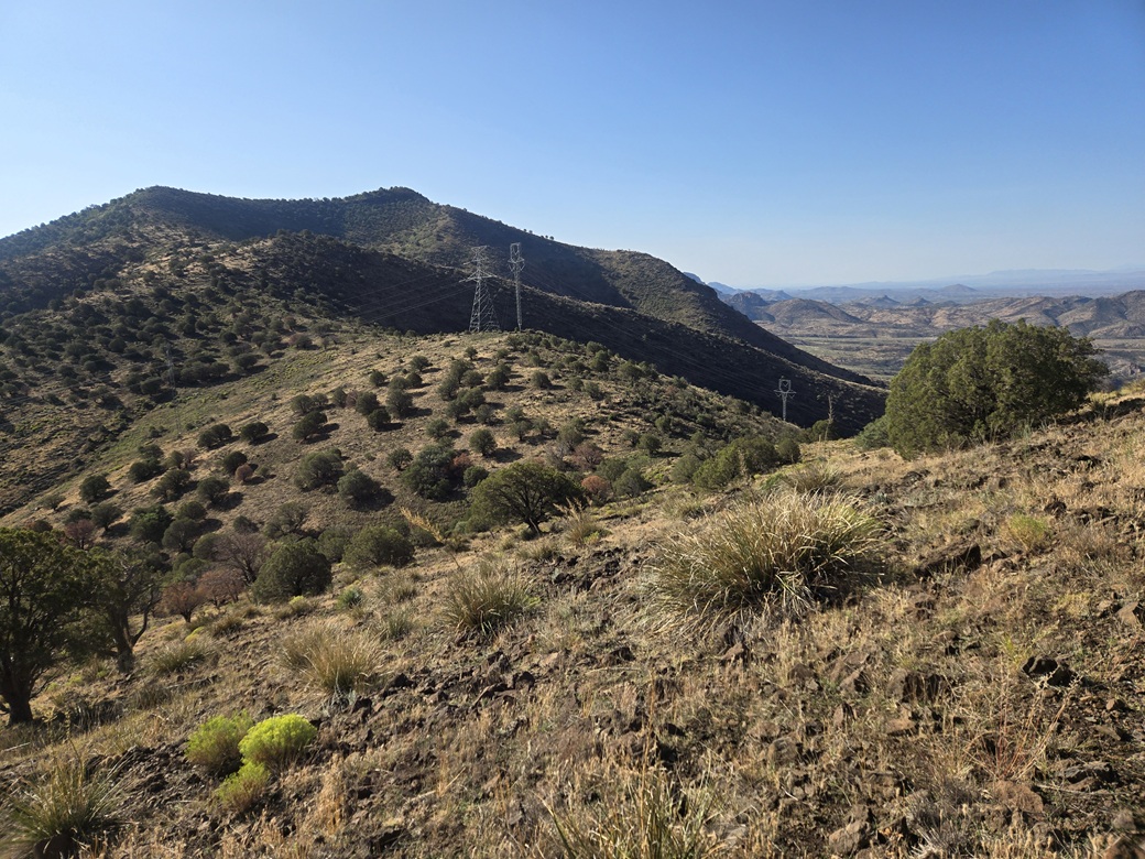
There are roads that get close to the peak, and a set of power lines runs up and over the range at Sixshooter Gap, which is just east of the peak's summit. The roads would be useful in getting close to the peak, but the last mile or so would be cross-country no matter what direction I approached it.
I was out the door at 2:15 a.m.. I followed the usual route through Willcox, Safford and Three Way. The sun was barely rising as I drove up the grade from Three Way toward the mountains. Once I crested the pass near the Black Jack campground, it had cooled into the high 50s.
The state has been drilled by daily thunderstorms for about ten days now, but the weather forecasts showed a couple of "sunny" days which this time of year, means there will be some clouds but probably no big storms.
From AZ-78 a mile or so beyond Black Jack campground, I turned onto Martinez Ranch Road (Apache-Sitgreaves FR-212), which is a major forest road and is usually in good shape, at least on the other two times I have been on it. Today, it was moist and "sloshy" in places, with puddles in the low spots, and rivulets just about everywhere. Even though it was cloudless and dry for the moment, the countryside was still shedding its water from the previous days' storms.
I went in 2.8 miles, to where FR-212B branches left, about a quarter-mile short of the basic Bear Track campground. There is a clearing at this junction and a large water tank off to one side. I rolled in and parked. It was 5:20 a.m. and I had been driving for 3 hours, covering 170 miles.
I got out to get my stuff together and properly suited. It was "cool", 60° said my car's thing that tells temperature, but it was extremely humid. There was no breeze and absolutely no chill to the air. The sultriness draped on me like a wet bath towel. I wore shorts but carried leggings and snake gaiters in my pack.
The side road, FR-212B, drops about 360 feet in elevation over about a mile, and I hoped I could have driven some of it, but within minutes after starting my hike, saw that it was way too rough for the Subaru. It got rocky and uneven fast. Some of it was just rocks, almost like they hauled in more just for the heck of it. A Jeep might get through this but it would be slow going.
The road makes one bend before reaching its lowest point. As I got close, I cut through open forest to shave off about a tenth of a mile. I was in shade now and it was comfortable but still noticeably humid. The road makes a sharp left bend and starts trending mostly west, going up Sixshooter Canyon.
The map shows the road goes to an earthen tank about a mile and a half ahead. In reality, much of the road is just the canyon bottom and all its rocks. Some parts looked completely thrashed and impassable. Sometimes, the road would re-appear and parallel the canyon bottom but it wasn't much of an improvement. What wasn't river rock was muddy ground. I had to watch rolling my ankles on the rocks, or slipping in the mud. There were puddles and flowing rivulets within the canyon bottom.
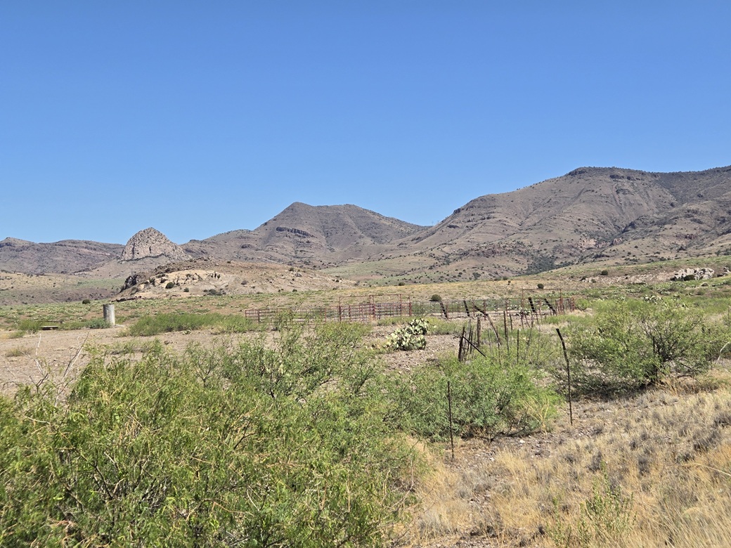
I finally came upon the tank, called Sixshooter Tank on the map. I had gained about 200 feet after all this walking. I still had a lot of uphill hiking ahead of me. At times while in the canyon, I could see Cold Spring Mountain. The powerlines were also visible.
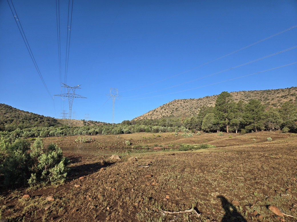
At this point, the road is almost impossible to discern. Much of it was degraded with ruts, trees crossing it, and lack of use. The fencing around the tank looked old. One has to wonder if anyone still uses this tank for their stock. I followed what I sensed was the road. It leads to a smaller tank in an open meadow, directly below the power lines.
The peak rose to west. For bearing purposes, the powerlines run up and just to the side of Sixshooter Gap, to the west-southwest from where I stood. My default was to hike to the gap, then up to the summit.
However, the lay of the land would dictate my route. I crossed the meadow and into some low trees, going up but not really able to see where I was going. As long as it went up, I was on course. I was fed onto a ridge that emanates a little northeast of the summit. I was soon out of the trees an on more open slope.
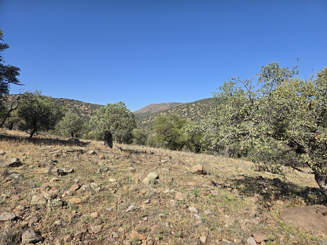
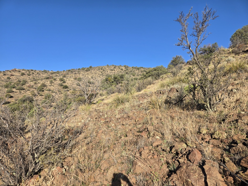
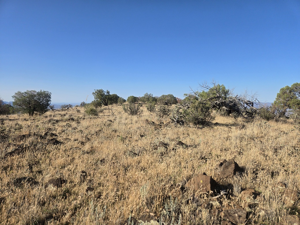
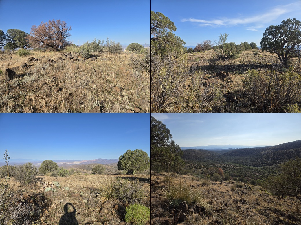
I was looking at about 750 vertical feet to the highest ridge. Once past the trees, it was more open terrain, a mix of grasses and rocks and scattered low trees and cactus. Navigation was easy. I was in the sun now and it was unpleasant. While not hot, it was warm and humid with no breeze. I could only get a hundred feet or so before needing to stop and try to get comfortable again.
About halfway up this ridge I came upon a path. A game path? I wasn't sure but I followed it. It went straight up and was actually a pretty good path. While hikers may be rare here, hunters are common and I suspect this was knocked in by hunters in the past. It made the final 300 feet easy. Finally on the highest ridge, I had a soft breeze which helped a lot.
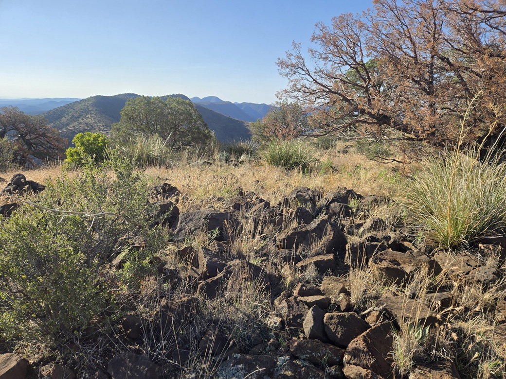
I then angled south, gaining another 150 feet, and onto the summit ridge. The map shows a spot elevation of 7,054 feet, but the higher land is about another five minute walk to the south. Lidar says the true highpoint elevation is 7,047 feet. Visually, it is easy to zero in on the general highpoint area, but any one of about thirty boulders could be the actual highpoint.
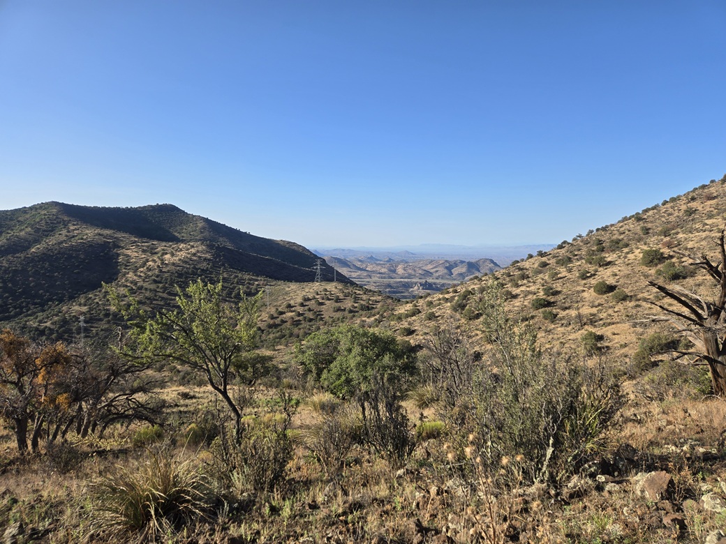
It had taken me one hour, 50 minutes to get here, covering 3.7 miles. I searched around for a cairn or register. I found what possibly was a cairn but it wasn't at the highest point. I didn't find anything. I spent about five minutes kicking rocks and exploring the area. Views were good. I had an elevated view of the mineworks over at the Morenci Pit. It was warm, into the 70s, and still very sultry. Insects were everywhere. Other than a lizard here and there, I saw no big animals. I was most concerned about snakes and bears.
I didn't really stop, although I slowed down a few times. It was too uncomfortable to have an extended break up here. I wanted down into the canyon and within the shade trees.
Rather than retrace my ascent ridge, I decided to keep heading south and then catch the ridge down to Sixshooter Gap. This ridge was a lot steeper with some low cliffs about 6 feet high, but not difficult. I angled away from the actual gap and just followed the easiest line down. I was soon back in the trees, under the powerlines, and back to the tanks. I took a small break here.
The hike out went well. It was just a steady walk out the rocky canyon bottom, using cattle trails and the old road whenever I could. Then I had to regain that 360 feet, which I did, slowly. I was back to my car at 9:15 a.m.. I was hot and tired, and dripping in sweat. I had brought plenty of water so I was not in any distress, but the cumulative effect of the heat, humidity and that last uphill segment brought me down a notch.
I plopped into the driver's seat and slowly changed out of my sweaty clothing and into less sweathy clothing. My socks had picked up thousands of little burrs from the grass up high, and I could not get them off. These socks may be goners. I was bummed about that. They were honorable socks.
I drove out FR-212 back to the main highway. It was still wet, and in a couple spots, I had to go slow. I could feet the car wanting to yaw in the mud. I was soon back to the highway. I didn't get very far. I drove to the Black Jack campground and pulled into a clearing with a picnic table, and had a half-hour break here in the shade. I used this as a chance to clean up a little more and get my stuff in order.
Now I was done. I had no other peaks planned. It was simply too hot for anything lower than 5,000 feet elevation. I descended back to Three Way and then into Safford, where it was 104°. I stopped at their McDonalds to have a coke and relax for another half hour in air-conditioned comfort.
I was in no hurry and it wasn't even noon yet. I had 120 miles to drive and I didn't want to rush things. Traffic was very light. I stopped in Willcox for gas and drinks, then pushed on home, arriving at 2:10 p.m.. I had been gone 11 hours and 55 minutes.
This was a good hike and a good way to spend the day, especially when the pickings are limited this time of year. I gained another peak for my records and probably lost ten pounds of water. The drive home was meditative. My air-conditioning doesn't work so I left the windows down and let the warm air blast me. I kept the radio mostly off. I actually liked this.
The peak itself only has two other logged visitors, Amy P. from 7 years ago, and Mark N. from 27 years ago. This is a remote peak which explains why so few people come here. Getting close to it is easy and the hike was never that difficult. In cooler, less humd weather, it is probably an enjoyable outing.
|

|