
The Mountains of Arizona
• www.surgent.net
|
| Peak 5946 • Apache Pass |
• Dos Cabezas Mountains • Fort Bowie National Historic Park (part) • Cochise County |
|
Date: August 7, 2026
• Elevation: 5,946 feet ✳
• Prominence: 345 feet
• Distance: 4.1 miles
• Time: 2 hours, 10 minutes
• Gain: 1,190 feet
• Conditions: Pleasant, humid, a breeze early on
• Snakes: 1
Arizona
•
Main
•
PB
•
LoJ
This peak rises north of Apache Pass, near the Fort Bowie National Historic Park. The pass is a canyon separating the Dos Cabezas Mountains to the north and the Chiricahua Mountains to the south. It was the only feasible way to cross through these mountains back in the old days. The two ranges run about 60 miles north to south.
The peak itself is just a hill among many, only of interest to me because there is a track that gets close to the base of the final climb. It looked short and uncomplicated, something to do when the weather is hot, humid and rainy, and the critters are out in abundance.
I planned to hike the peak yesterday morning. The night prior, after I had printed off a map and got my stuff staged, an intense thunderstorm rolled into Bisbee about 9 p.m.. This time of year, we get something almost every day, and sometimes the storms can be powerful, but this one was a whole standard deviation worse than anything I've seen since I've been here.
First, the wind picked up, then the lights flickered and went out, then back on, then out again. I turned everything off and got my lantern. Outside, the wind was blowing very strongly, 50 miles per hour sustained, and swirling. Then the hail started. For about a half hour, it hailed, the wind blew, and there was a bolt of lightning every couple of seconds. It was loud, like a jackhammer on my roof.
I took a look outside and saw nothing, just a pall of hail blowing sideways. I couldn't do much except wait it out. The street was flooded and so was my yard. I was concerned about hail damage and worse. When it finally settled down, I went outside with my lantern. The hail itself had collected to about six inches deep. I eased through the water and mud to my car, and was relieved there were no cracked windows or dents.
I decided to not do the hike the next day. I figured I better stick around and ensure there isn't further damage. The next morning, it was sunny and cloudless, like the storm never happened. The hail was still there, and in some shaded spots, would linger for an extra couple of days. The only damage was to the window screens on the south-facing windows. They were thrashed by the hail pellets. I spent some of the afternoon learning how to repair screens with a spline tool.
I also drove into Old Town Bisbee, to see what happened there. The storm made the Phoenix news, which is saying something since they usually ignore Bisbee altogether. The main street (Brewery Gulch) was completely flooded and overrun with rocks. The bulldozers were out already scooping it up. I talked to a guy who's been here since 1992 and he said it was the worst storm he's ever seen here.
Here is a YouTube video about the storm: Video.
One curious aspect of this storm was I found on my patios and anything else flat countless little pebbles, all round and no more than an eighth of an inch across. These pebbles had been picked up by the winds and blown all around, essentially sand-blasting anything in its path. It scoured off a lot of paint from my sills, jambs and fascias. So that's another thing I'll be doing in the coming few days.
The day itself ended up being a sunny and mild day with cooler temperatures and no storms that evening, just a few puffy clouds, almost like the whole area was having a storm hangover. I decided to do the hike the following day, being today. It's been two weeks since my last peak hike. Choices are slim this time of year.
I was out the door at 3:45 a.m. and followed the usual route through Double Adobe and into Elfrida on US-191, then onto AZ-181 at Sunizona, then following that about thirty miles in a circular arc to the road leading to Fort Bowie (it is north of milepost 351 on AZ-186). The road is dirt, but generally in good shape.
I went in on this road a little over 6 miles to where I was nearing the pass. Parts of the road showed some effects of the storms with ruts and rocks, but nothing serious. The road at Apache Pass makes a right turn, going from northeast to southeast. I'd be following a track that leaves the road from here.
I parked about 200 feet down the road in a small pull-out near where a gas-line intersects the road. It was cool (about 68°) and the sun was up, but blocked by clouds to the east. I suited up and started the hike at 5:35 a.m.. I had driven exactly 80 miles on the nose to here.
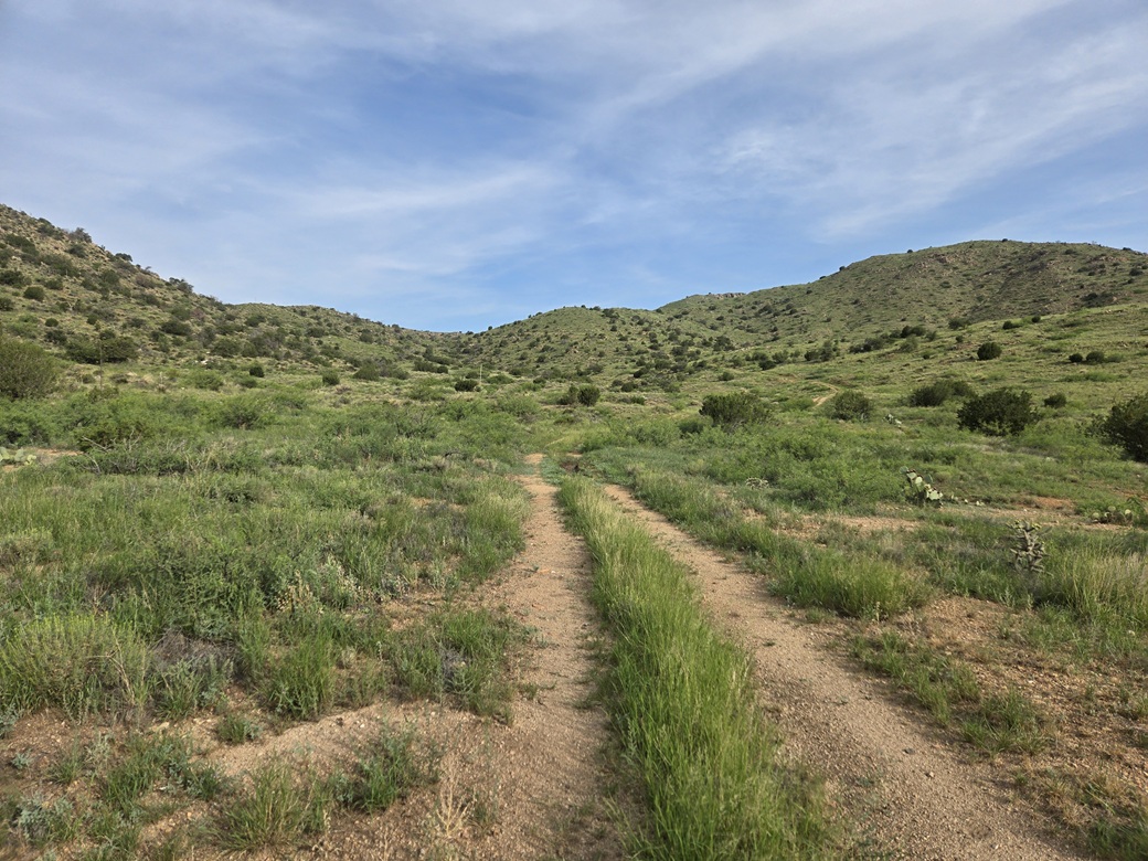
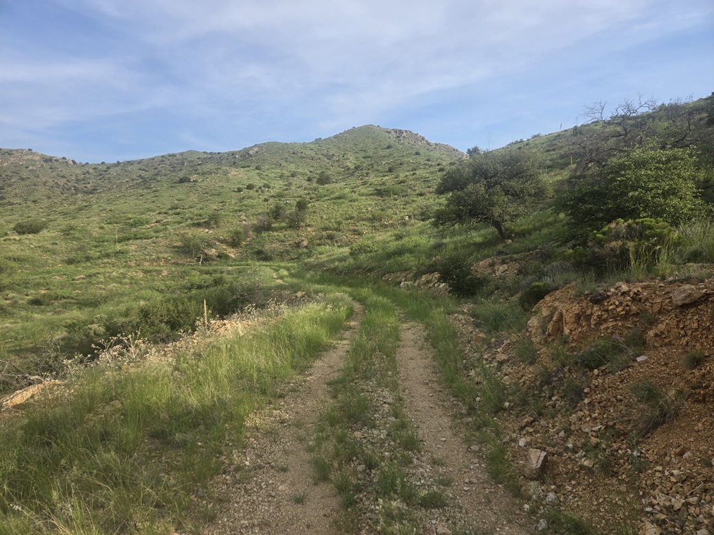
The road I'd be following is gated, with a "no hunting" sign but nothing about no trespassing. I eased through the gate and went in. The road drops about 80 feet over a quarter mile, then angles northwest toward a low pass in the hills. The peak could be seen early on, but as I got closer to the pass, it would be hidden by the foreground hills.
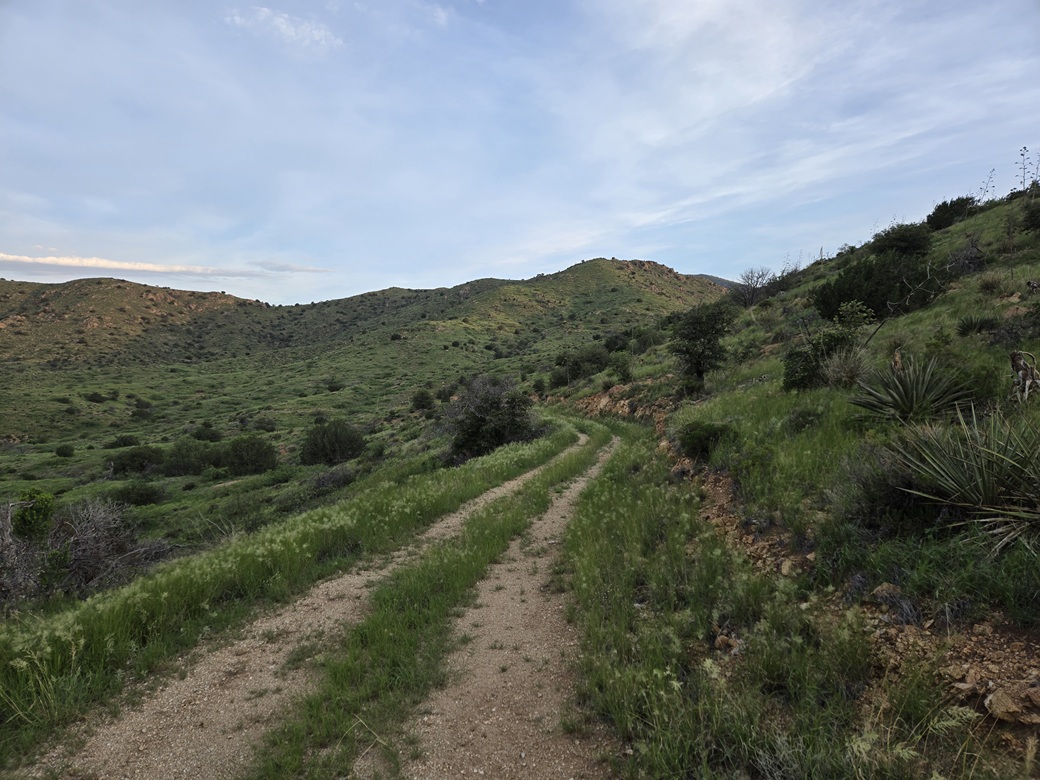
The walking was easy. The road was in fair shape, with mature brush in its center. I could see faint tire tracks, suggesting the road is driven rarely. It is on the Fort Bowie property for the first little bit, then onto private lands thereafter. It was humid but not uncomfortable. There was a steady breeze which helped, and the sun was mostly blocked by clouds to the east which tamped down its warming effects.
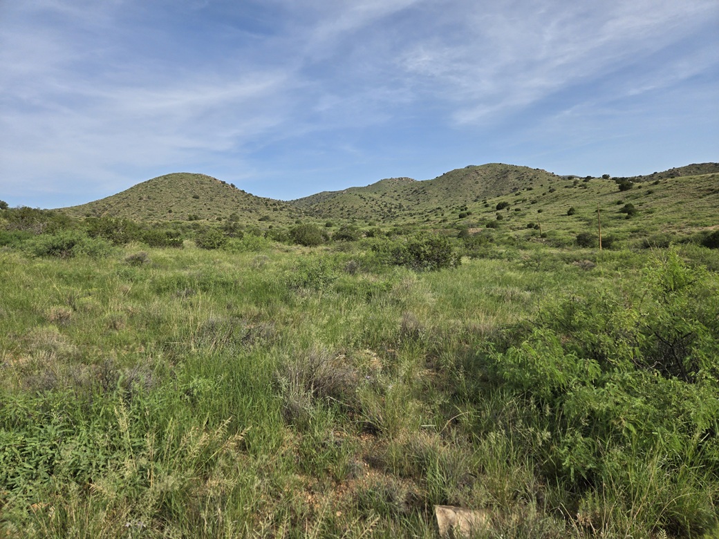
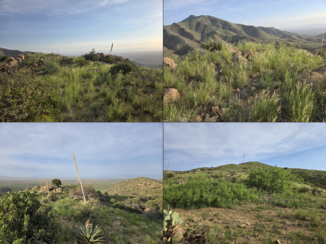
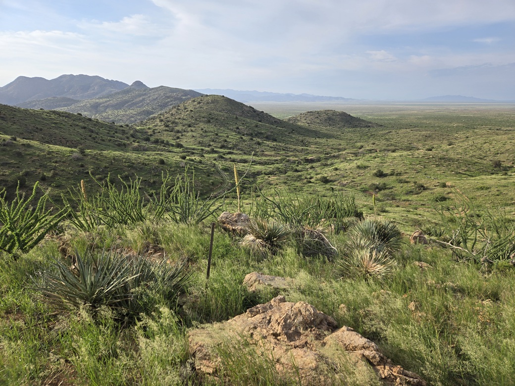
The road gains to the low pass, then drops about 70 feet to bottom out near the southern toe of a long ridge that leads to the top. I had shade here for the time being. The recent rains have resulted in abundant green grasses and scrub on the hillsides. Normally, this would all be various shades of tan and brown.
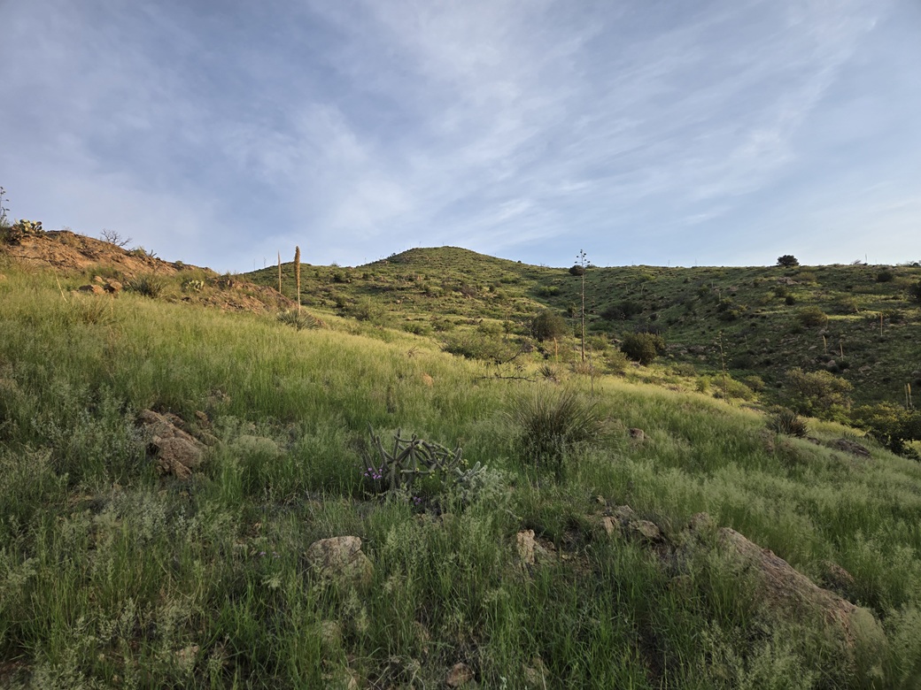
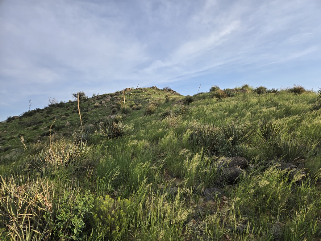
I left the track and started uphill, in shin-high green grass that grew in clumps. There was usually a weak lane to follow and I tried to keep to open segments as often as possible. This meant I was obliged to zig and zag a lot. I could see the ground and my feet. I was hypervigilant for snakes.
The actual uphill climbing wasn't difficult. The slopes lay back very nicely and the brush was light, just some scattered bushes and no big trees. I moved slowly and carefully. I got near some cactus and heard a rattle. I didn't see the snake but I was close to it. I moved quickly to the side and let the snake calm down. I found an open area to sit down in, and put on my snake gaiters. I figured they'll do better on my legs rather than in my pack.
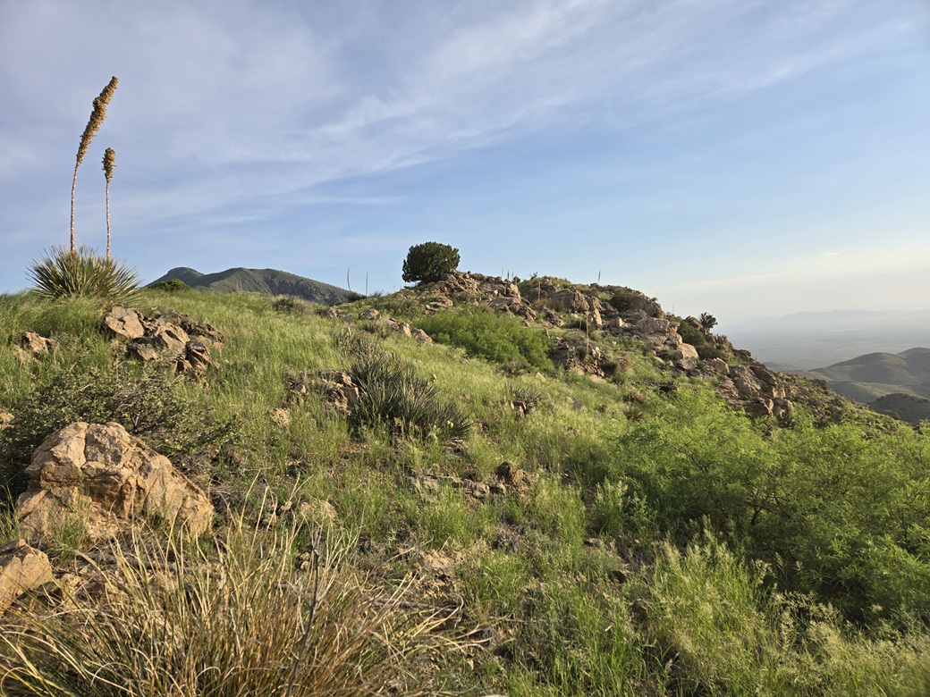
The rest of the uphill hike was about the same as before, just a steady slope of grass and some occasional brush, with a few rock piles to cross over or around. It wasn't difficult at all. In time, I was at the top rocks. The highest point was still about a hundred-foot walk on level ground, weaving through rock piles and some brush. A big juniper grow out of a crack of a rock on a lower summit.
I arrived to the highpoint a little over an hour after starting the hike, a two-mile walk. I found the register bottle in a cairn. It was in good shape, but the register itself held no names, just blank sheets and a pen that didn't work. I had a golf pencil in my pack to I signed myself in and put the register back. Lists of John shows the last visitor was Mark N. back in 1995. This did not look like one of his registers. Was I the first person here in 31 years? Probably not. At least one person was here to take away any pages with names on it. But it's safe to assume very few people have climbed this peak.
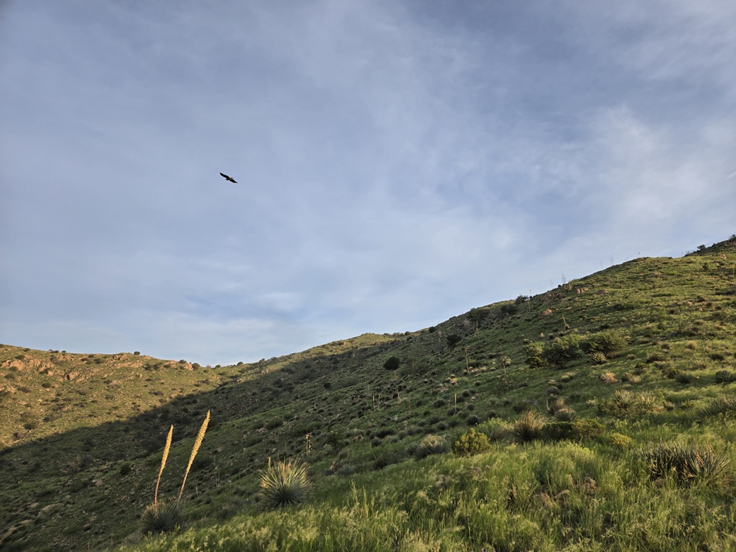
It was sunnier now, and that lovely breeze had died down. Now it was just warm and humid. I started down, generally following my ascent route but following any openings I could. I had no more snake encounters. I did see one deer, and some hawks gliding in the breezes, just hovering, no need to actually flap.
I was down to the road after about twenty minutes, then another half hour later, back to my car. It was 7:45 a.m. now, still early, but warming quickly. It had been a good hike, something to do during these summer days when options are very limited.
For history fans, the Fort Bowie site is worth a visit. There are a couple of ranked peaks nearby the main road that don't take too long. These three could be done in a few hours. I strongly recommend the hike to the Fort Bowie site. A lot of significant battles took place at various points within this canyon and pass region.
|

|