November 17, 2019
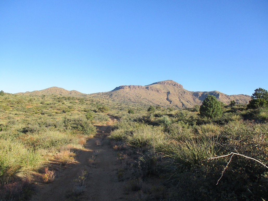
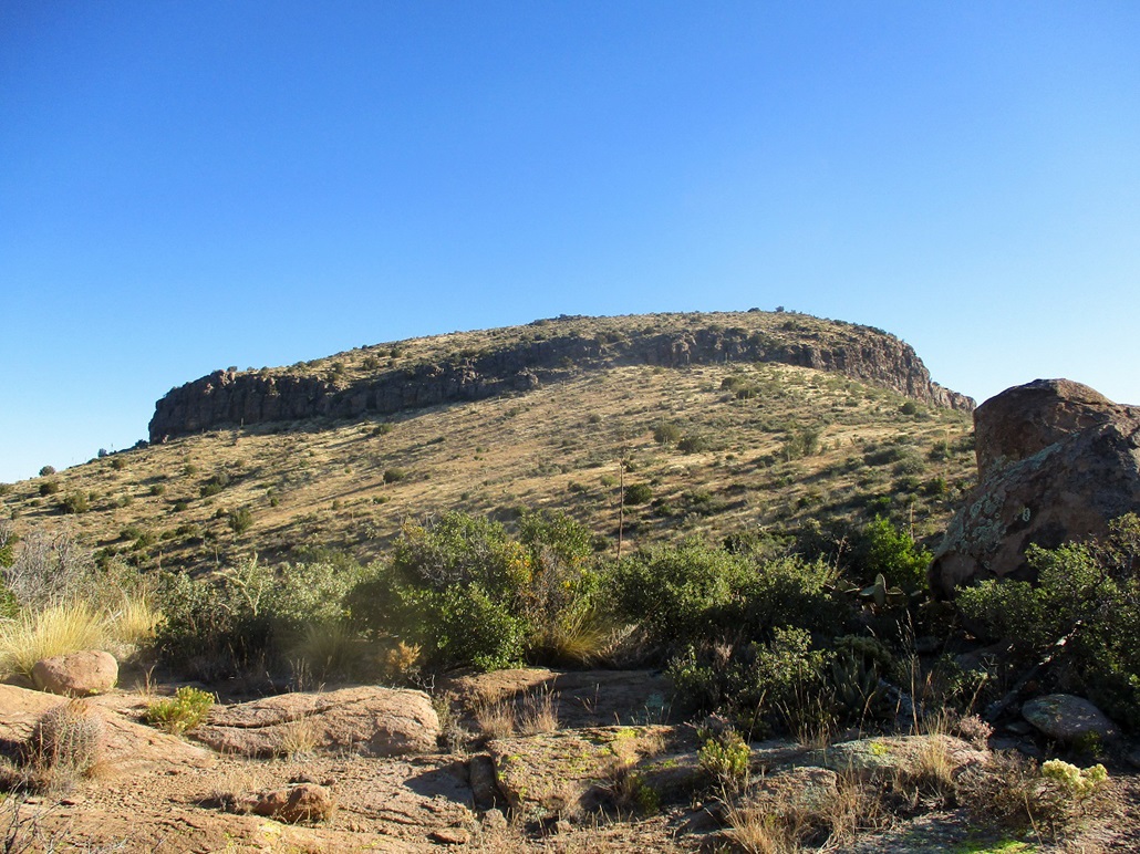
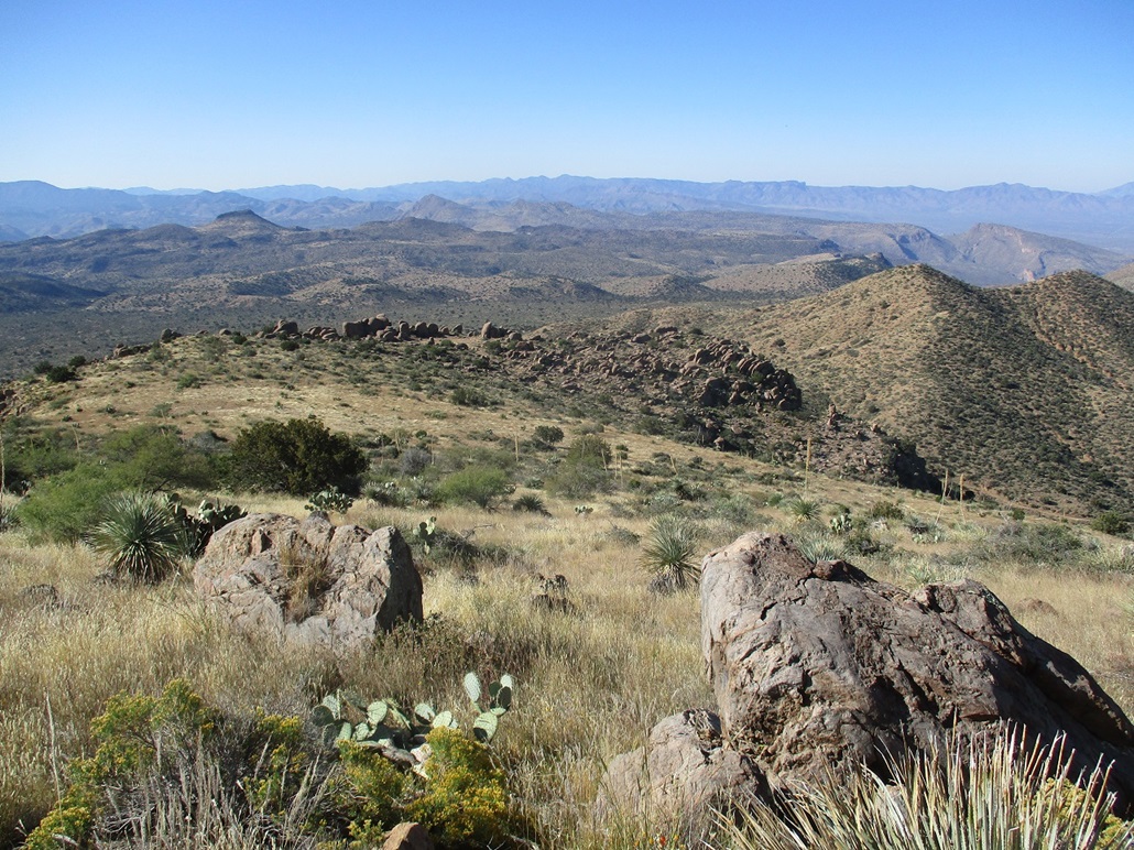
A distant view of the peak
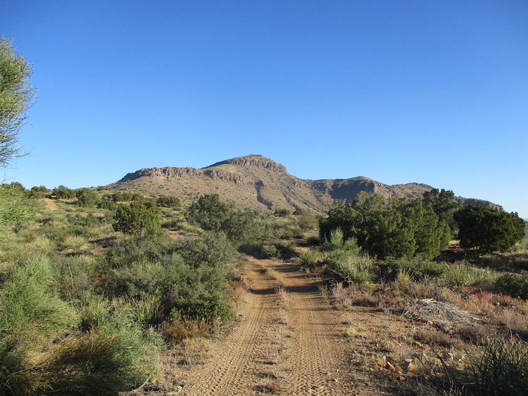
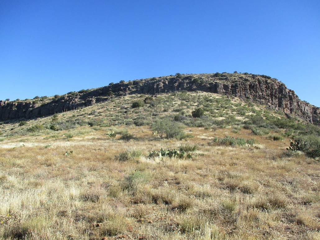
Closer in...
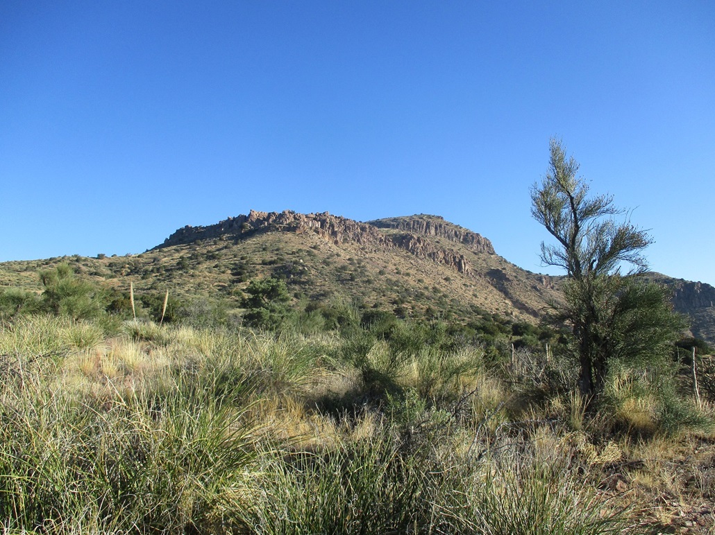
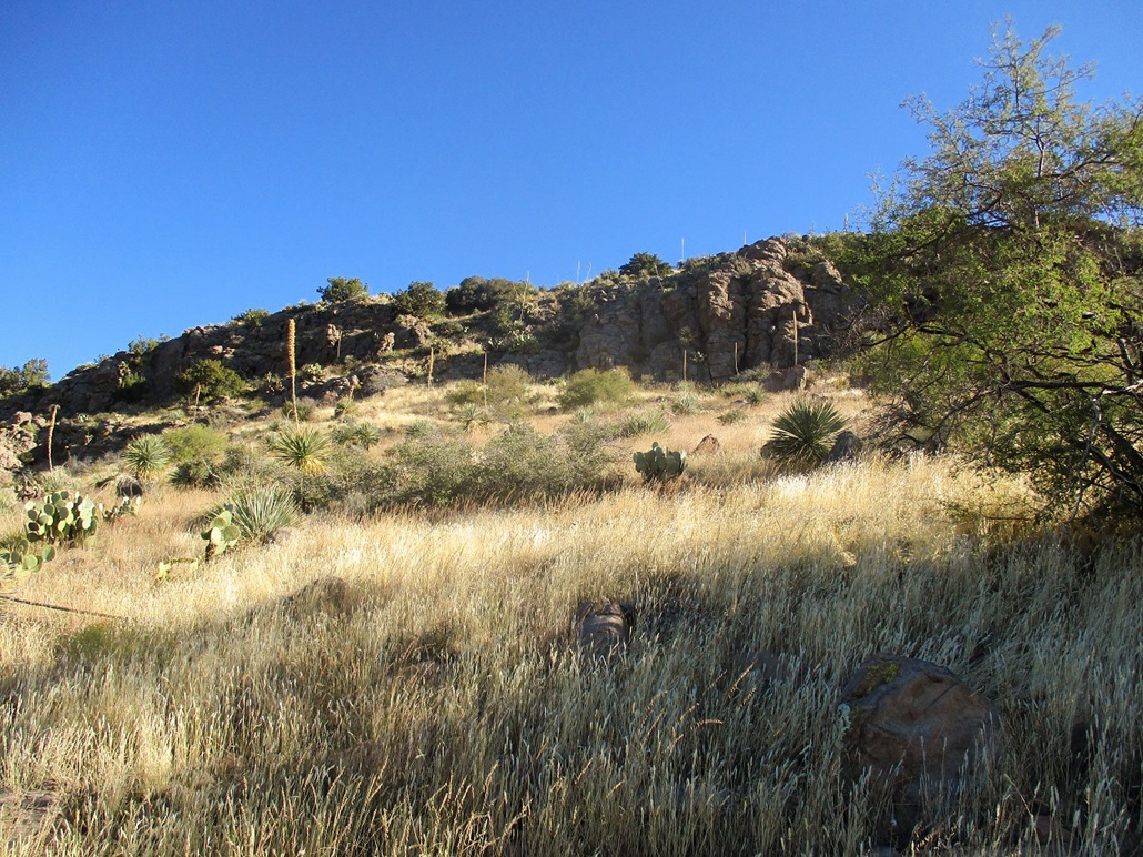
... and closer, where the angle has changed a little
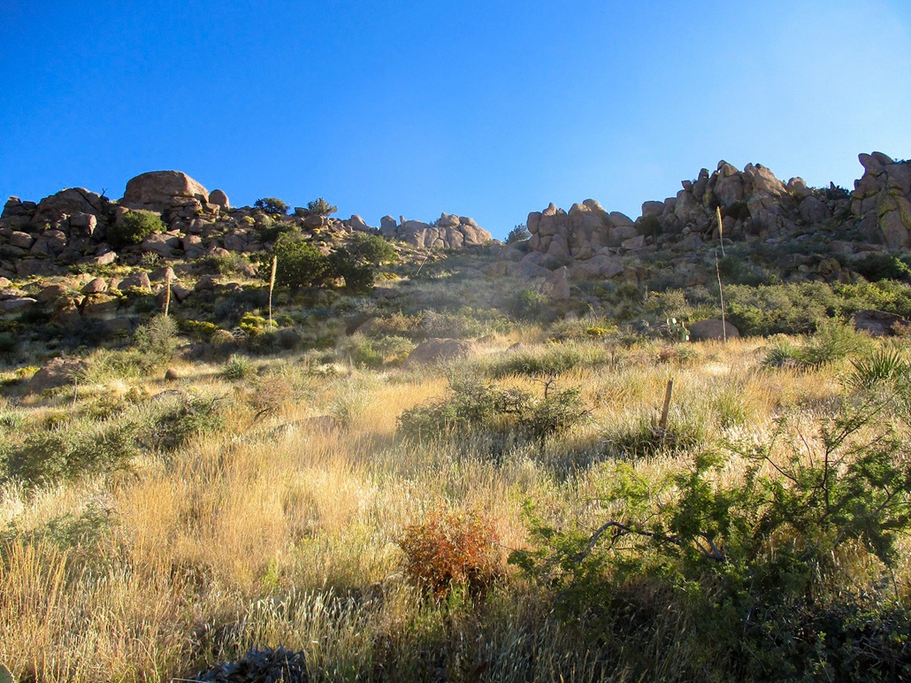
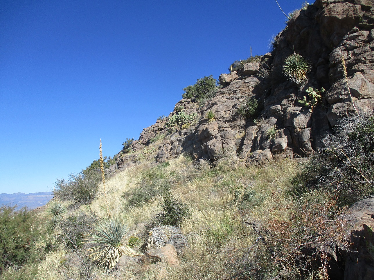
The breach in the first set of cliffs
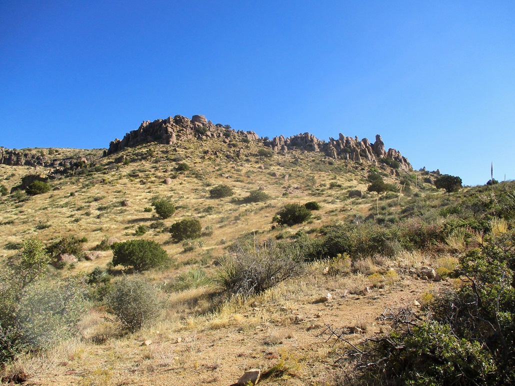
The upper cliffs and summit
The upper cliffs as we approach
The breach in the upper cliffs becomes more evident
North view from the top: Aztec Peak is to the left, Lake Roosevelt is seen in back and Black Mesa is also visible in the center
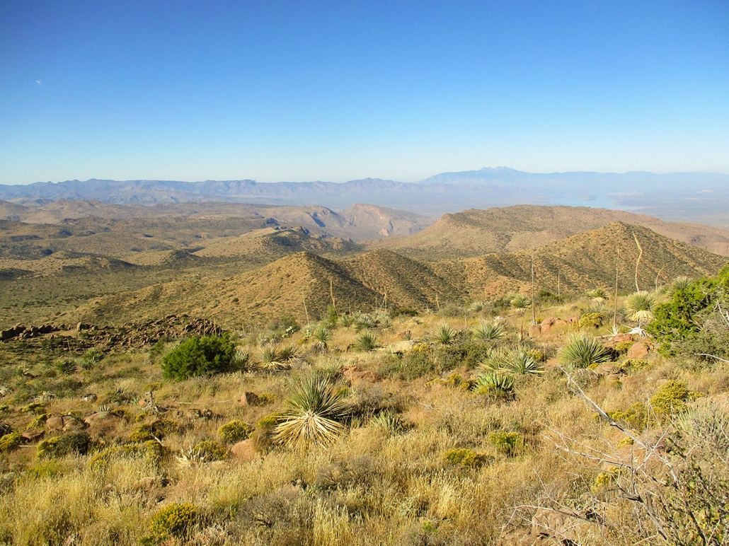
Northwest view: Four Peaks, Lake Roosevelt and Redmond Mountain to the right, I think that's Klondyke Mountain in the mid-center
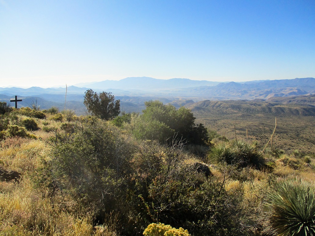
South view, Pinal Peak in back, and a cross on the summit
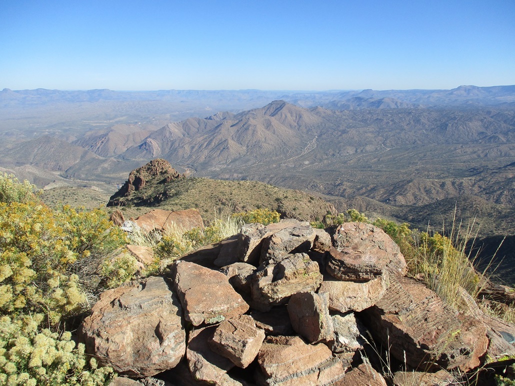
Summit rocks and east view, Haystack Butte in to the far left
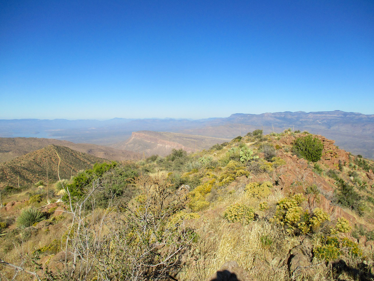
Southeast view, Apache Peaks
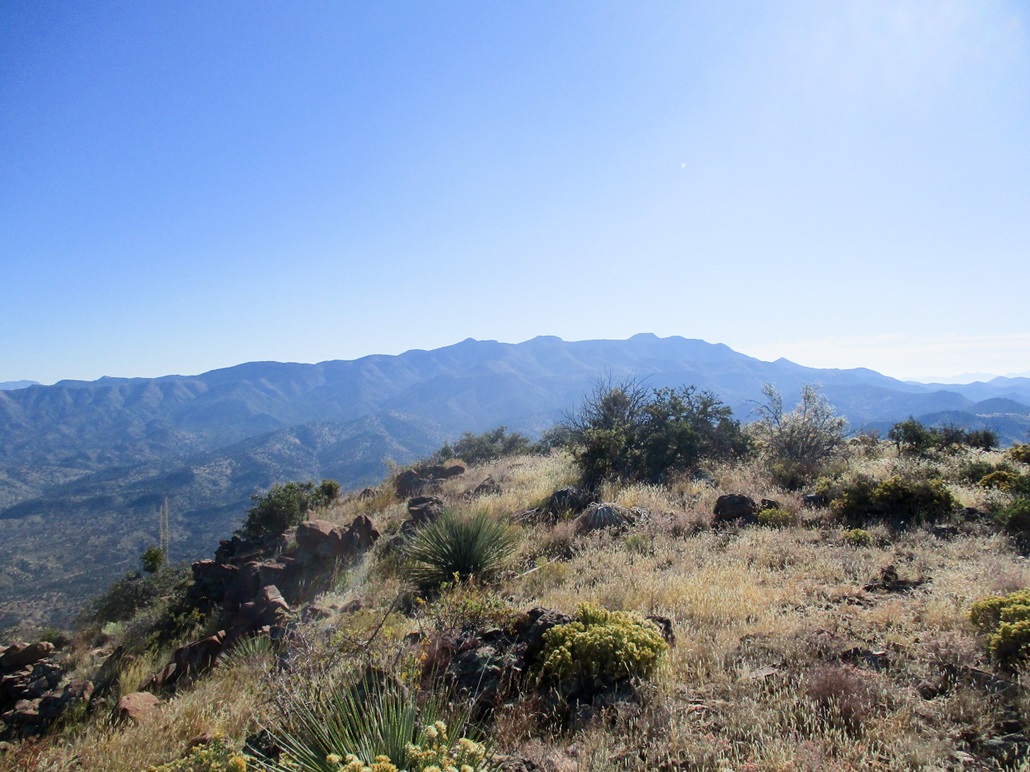
The upper cliffs as we descend
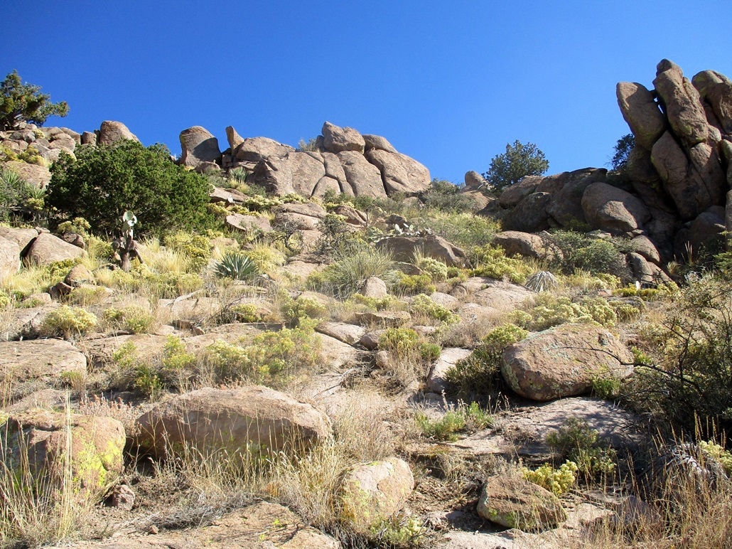
Approach the lower cliffs from above
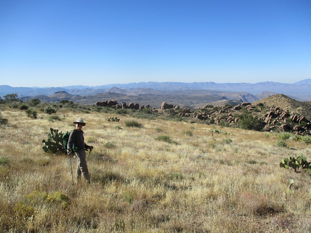
Matthias as we hike toward those lower cliffs
Coming down that breach in the lower cliffs
The lower cliffs in better light
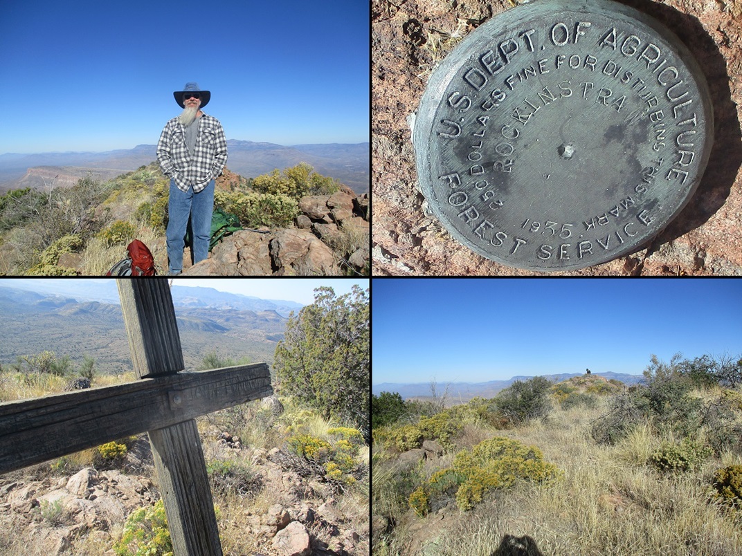
Montage: Me, the becnhmark, the name "John Monarrey (?)" on the cross and Matthias on the summit from near that cross
Arizona Page • Main Page • Trip Report
(c) 2023 Scott Surgent. For entertainment purposes only. This report is not meant to replace maps, compass, gps and other common sense hiking/navigation items. Neither I nor the webhost can be held responsible for unfortunate situations that may arise based on these trip reports. Conditions (physical and legal) change over time! Some of these hikes are major mountaineering or backpacking endeavors that require skill, proper gear, proper fitness and general experience.