December 8, 2024
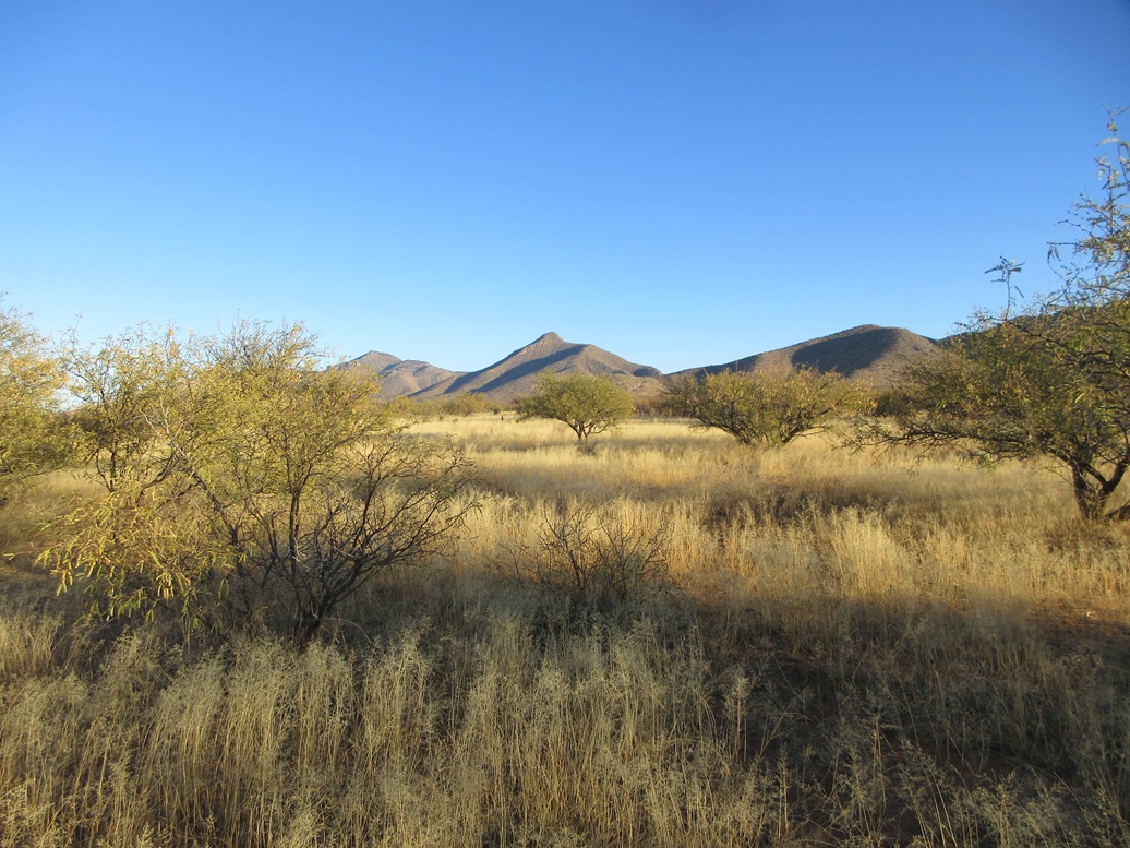
Mescal Peak in the distance
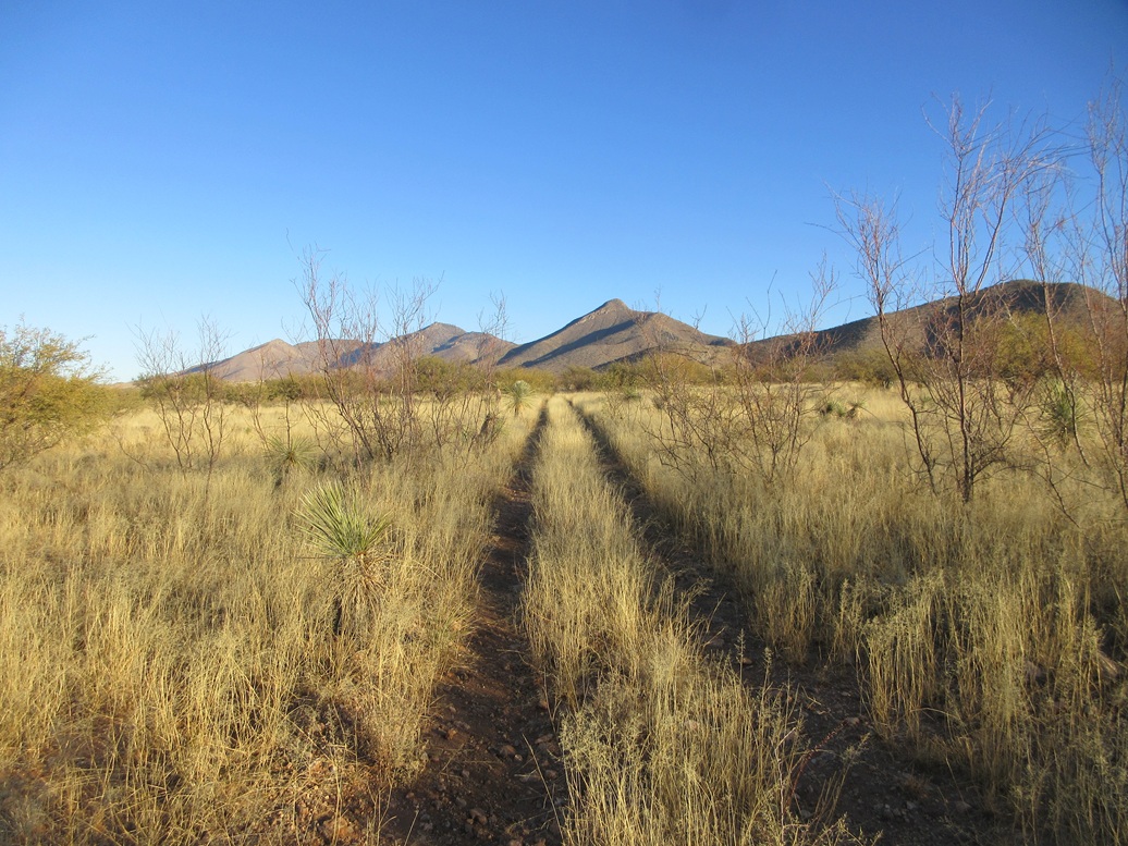
Now walking along a track toward it
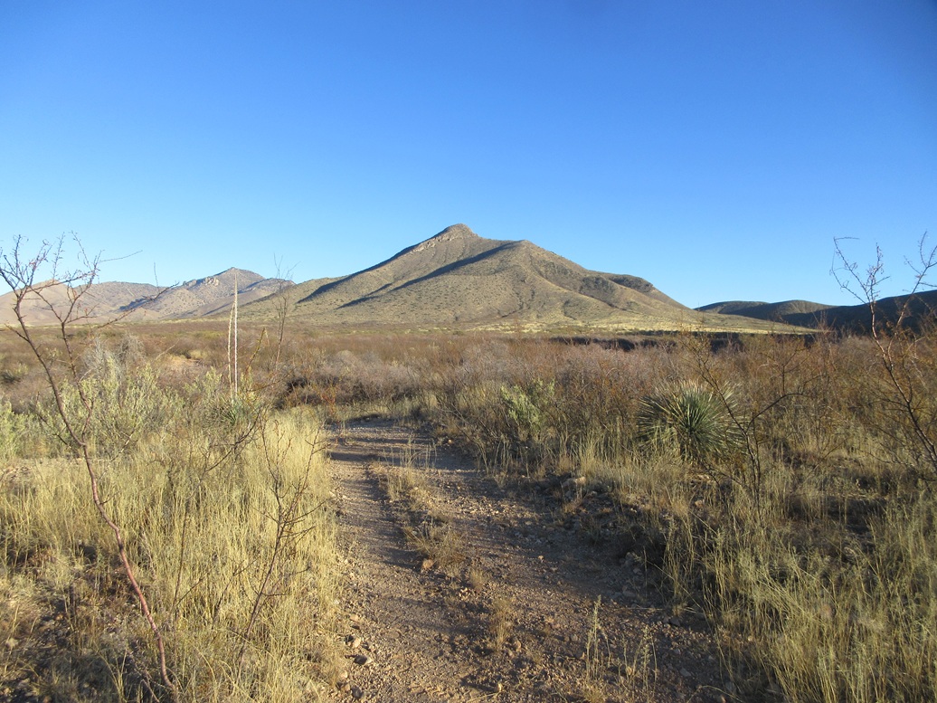
Closer view
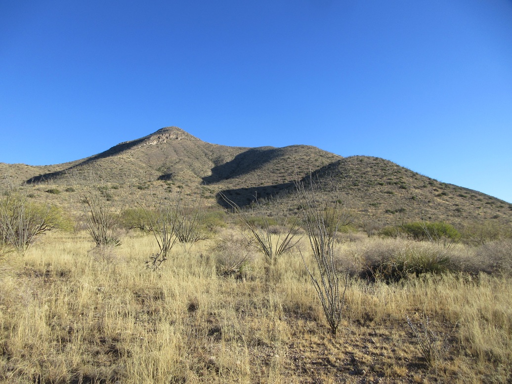
Now we're at its base
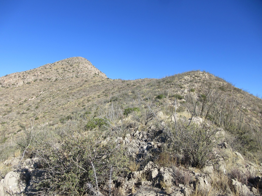
On the high ridge, the rocky summit ridge
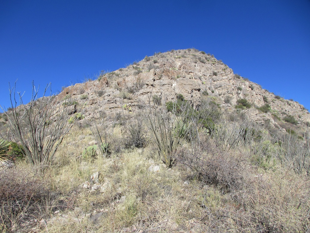
The lower cliff and the rocky spine to the top
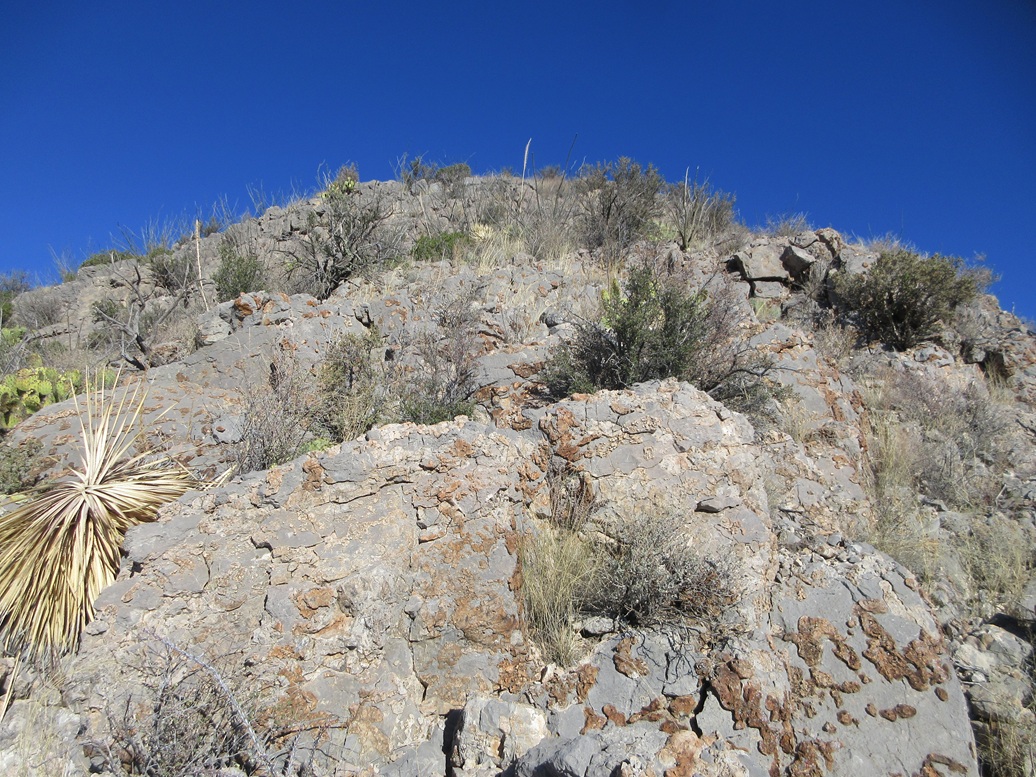
Typical of what we had on the top-most ridge
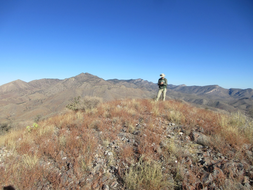
Then we were on top of the peak
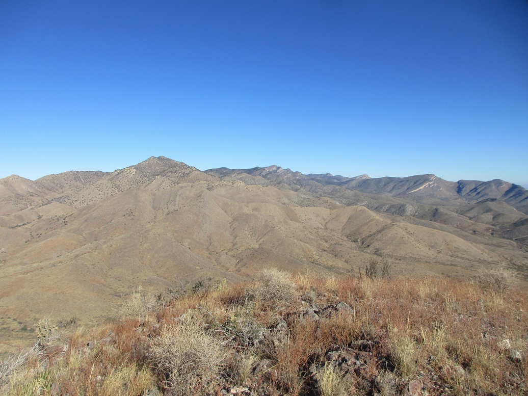
North, the main Whetstone Range
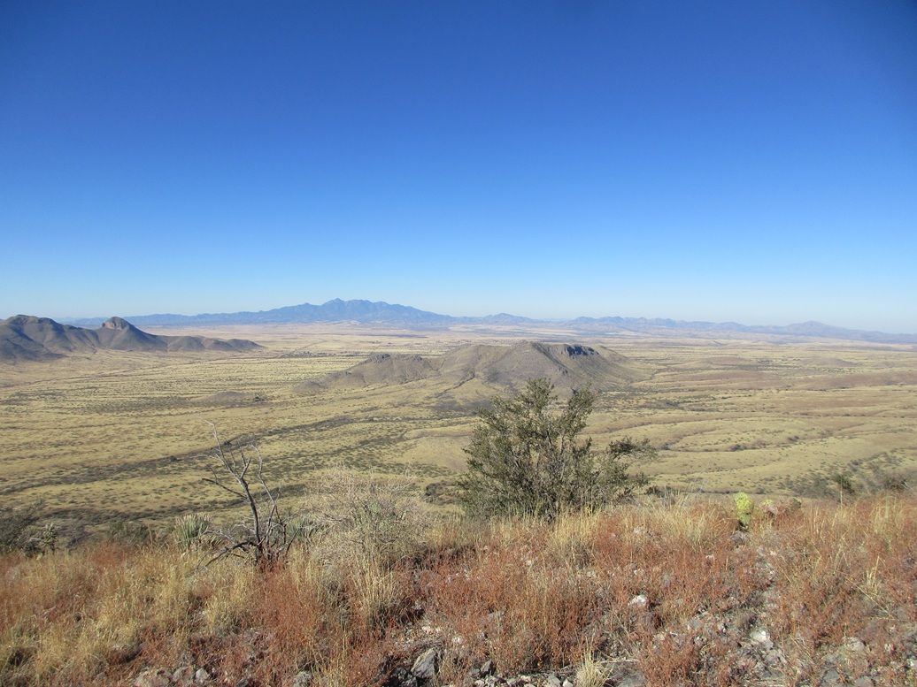
Southwest: the Patagonia Mountains in the distance
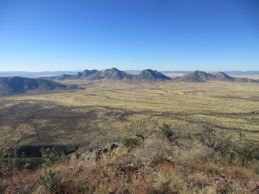
South: The Mustang Mountains
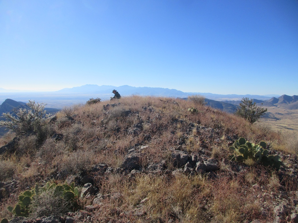
Matthias sitting on the summit

There's a white-tail deer in the image, left of center, as we hike down
Arizona Page • Main Page • Trip Report
(c) 2024 Scott Surgent. For entertainment purposes only. This report is not meant to replace maps, compass, gps and other common sense hiking/navigation items. Neither I nor the webhost can be held responsible for unfortunate situations that may arise based on these trip reports. Conditions (physical and legal) change over time! Some of these hikes are major mountaineering or backpacking endeavors that require skill, proper gear, proper fitness and general experience.