May 9, 2011

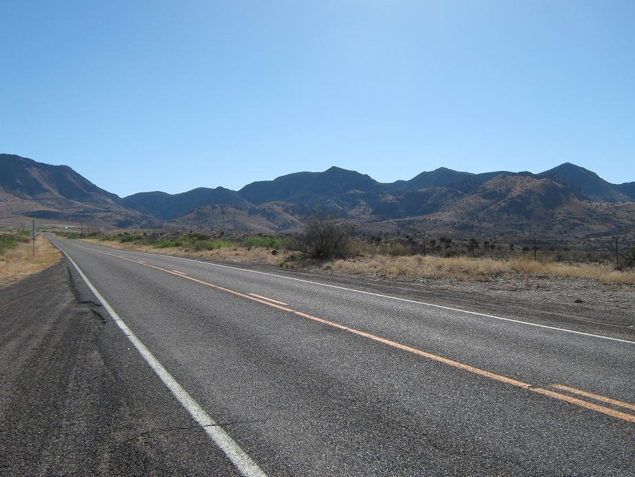
Distance shot, taken from highway NM-78
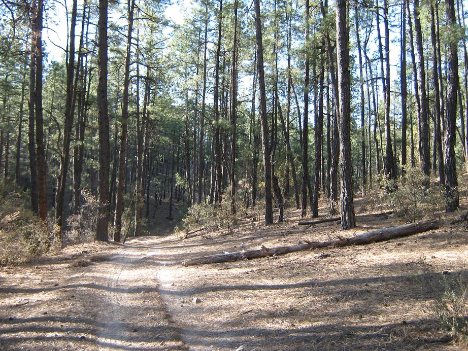
Hiking in White Mule Creek, amid the tall pines
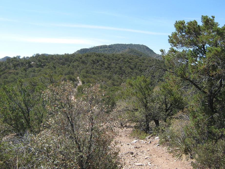
Maverick Hill, still a ways away

Looking back at Peak 7242, and "Mule" Hill. The white blotch is where highway AZ-78 surmounts the mountains

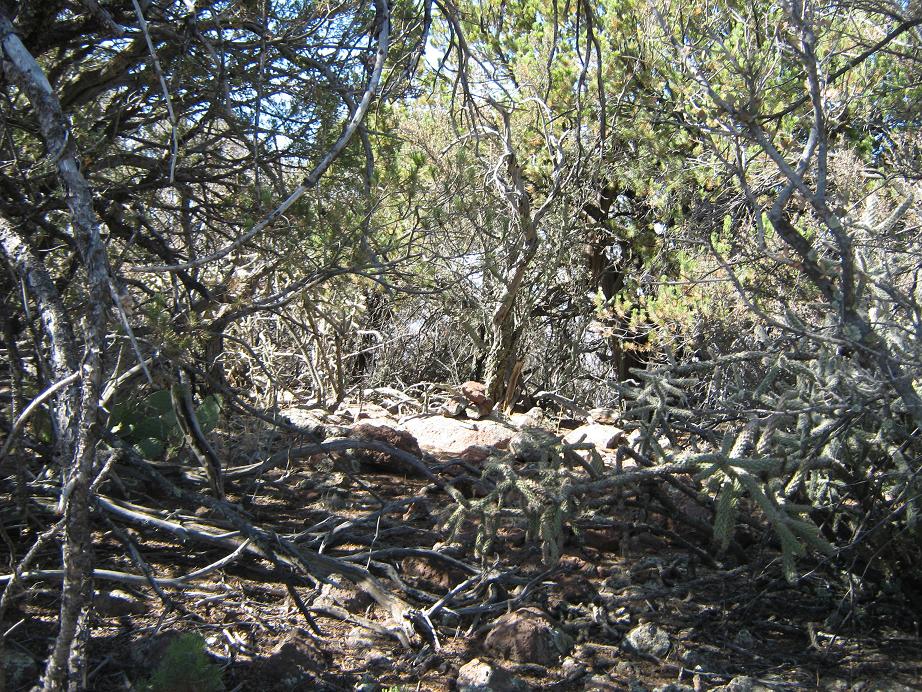
General summit area
The summit cairn
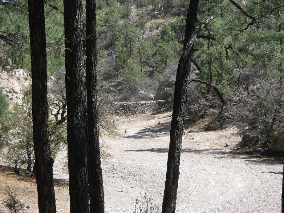
Hiking back, there's an old dam there
The Big Lues from AZ-78
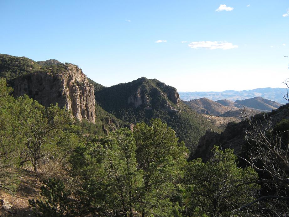
Spectacular cliffs from our campspace at Black Jack campground
Arizona Page • Main Page • Trip Report
(c) 2023 Scott Surgent. For entertainment purposes only. This report is not meant to replace maps, compass, gps and other common sense hiking/navigation items. Neither I nor the webhost can be held responsible for unfortunate situations that may arise based on these trip reports. Conditions (physical and legal) change over time! Some of these hikes are major mountaineering or backpacking endeavors that require skill, proper gear, proper fitness and general experience.