February 8, 2015
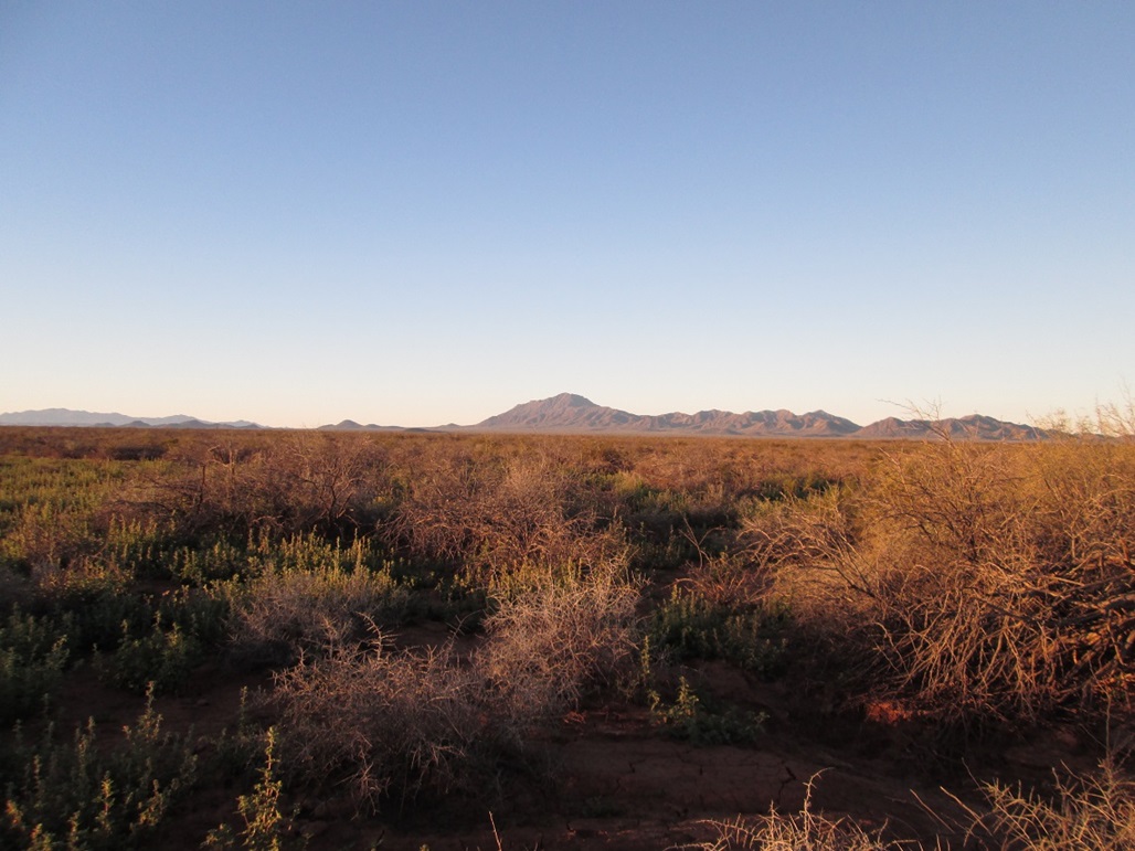
Gu Achi Peak as viewed from many miles to the north, as we were driving in
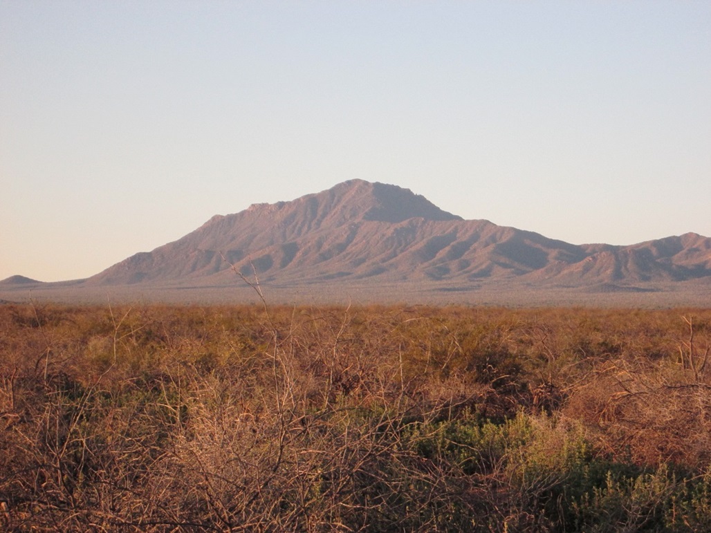
Same view, zoomed
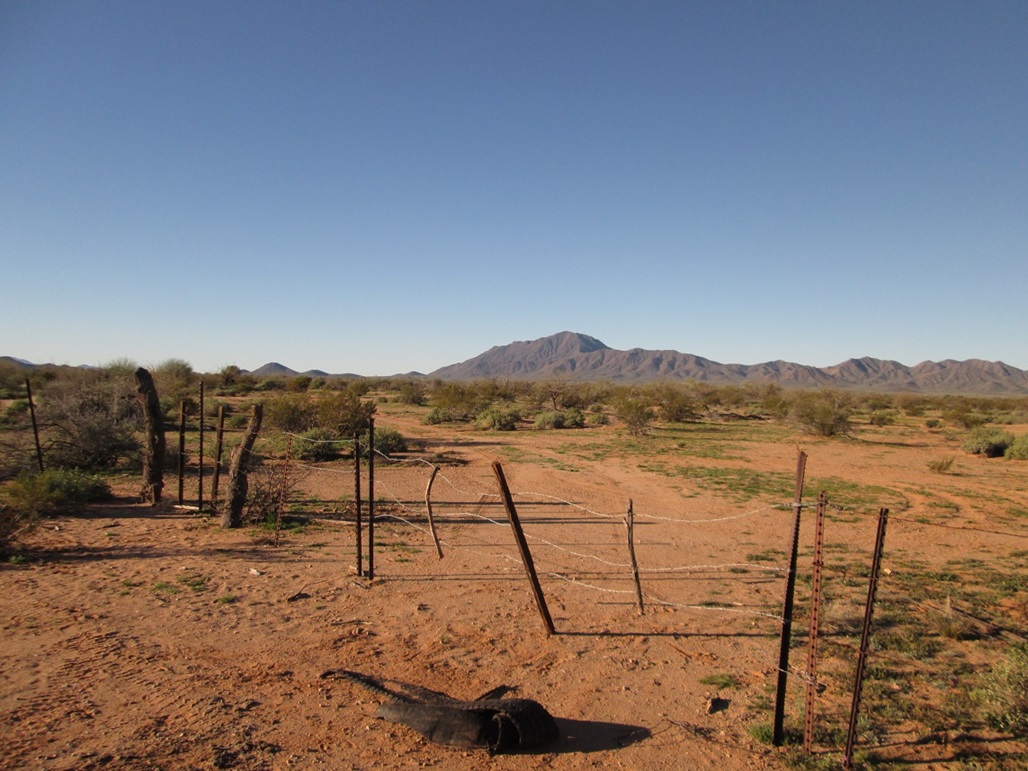
The peak again. We went in this gate, but then backed out after discovering the road was in abysmal shape

Gu Achi Peak as viewed from below, where we started our hike
The ridge ahead, and the mine tailings of the single shaft mine that's up here
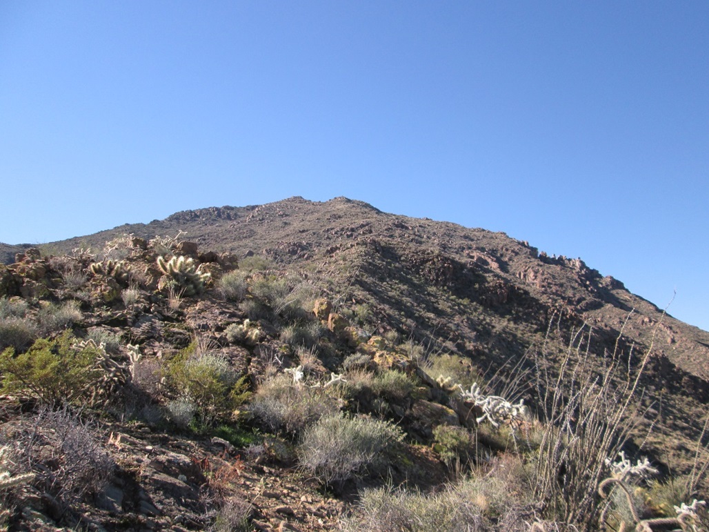
View of the summit ridge from the mine area

Approaching the serrated ridge
View of the peak as seen from the ridge

The two bumps that herald the summit, which is just a few dozen more feet behind
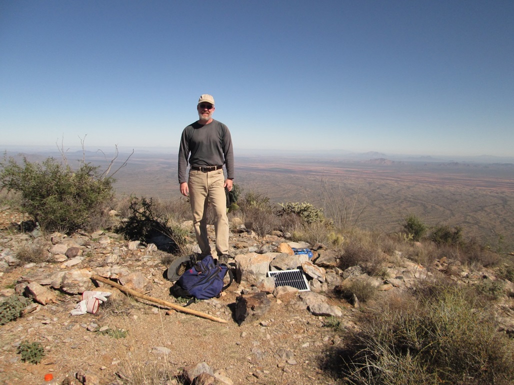
Me on the summit

South view, with Baboquivari Peak visible to the left
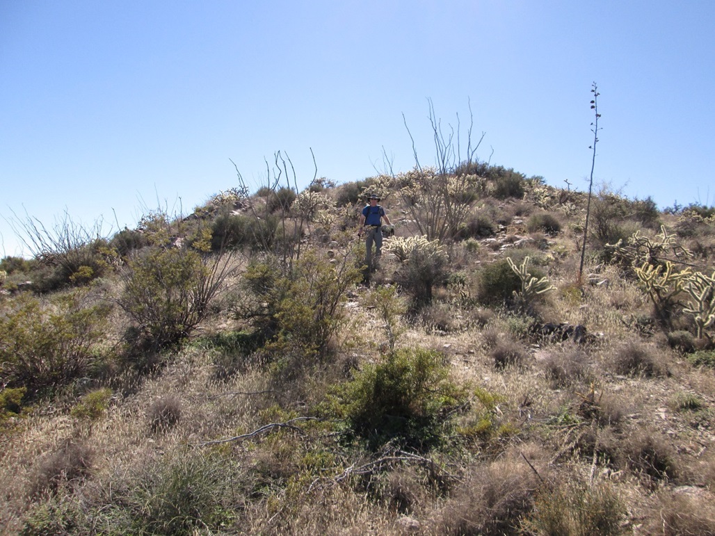
Scott descending off the summit
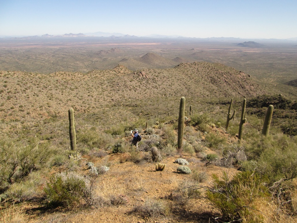
Scott again, as we descend the lower slopes
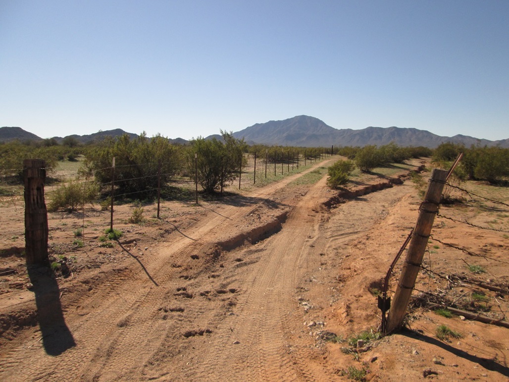
View of the peak from the reservation boundary fence

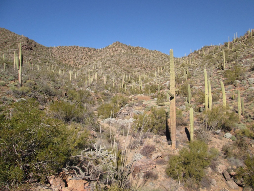
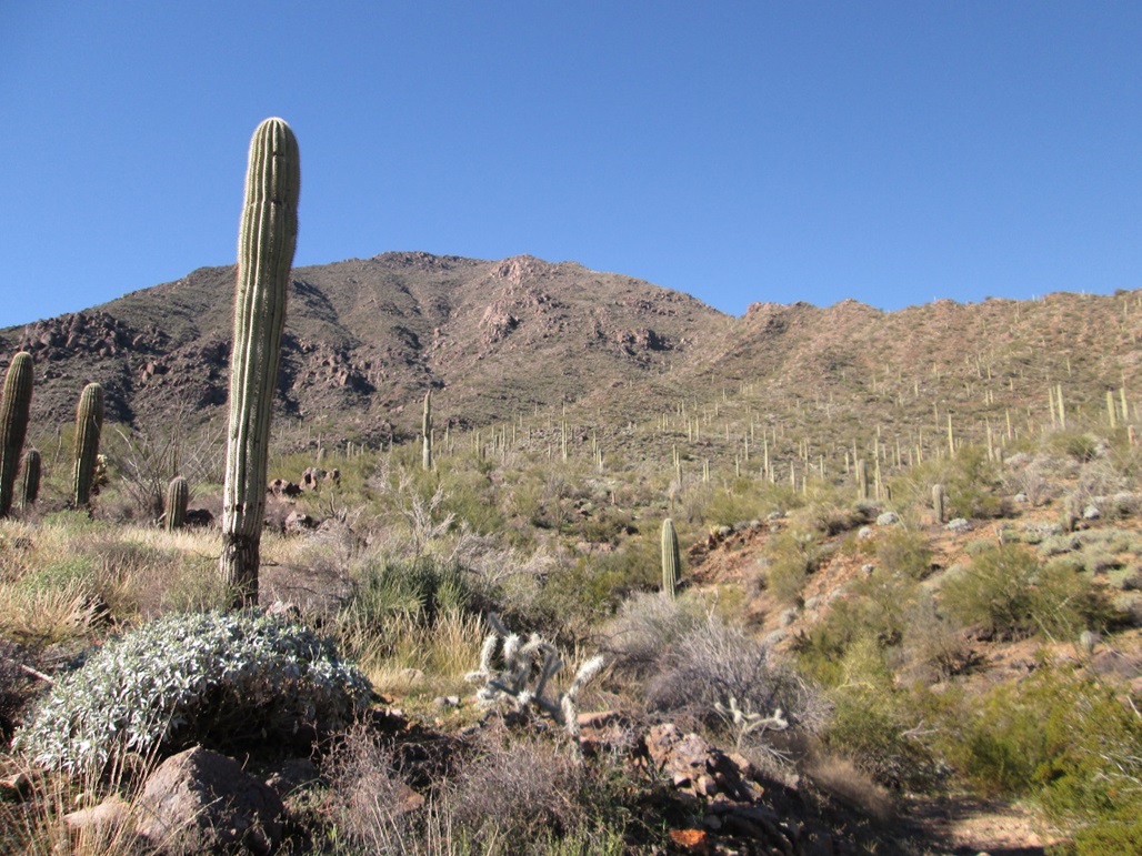
Montage: views along the sandy road, some rock pinnacles on the ridge, and another ridge shot showing all the cactus
Arizona Page • Main Page • Trip Report
Mobile version (c) 2023 Scott Surgent. For entertainment purposes only. This report is not meant to replace maps, compass, gps and other common sense hiking/navigation items. Neither I nor the webhost can be held responsible for unfortunate situations that may arise based on these trip reports. Conditions (physical and legal) change over time! Some of these hikes are major mountaineering or backpacking endeavors that require skill, proper gear, proper fitness and general experience.