
Childs Mountain
November 8, 2014
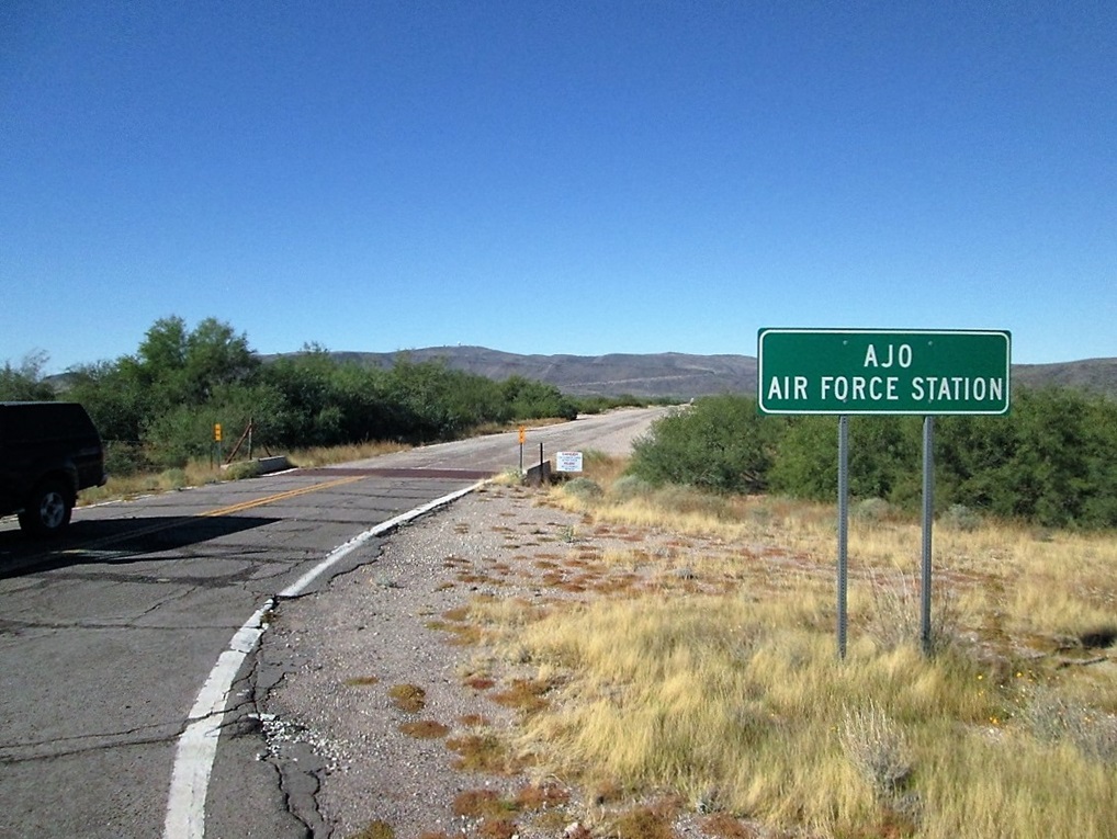
Start of the road from Highway AZ-85. The dome atop Childs Mountain is visible way in back
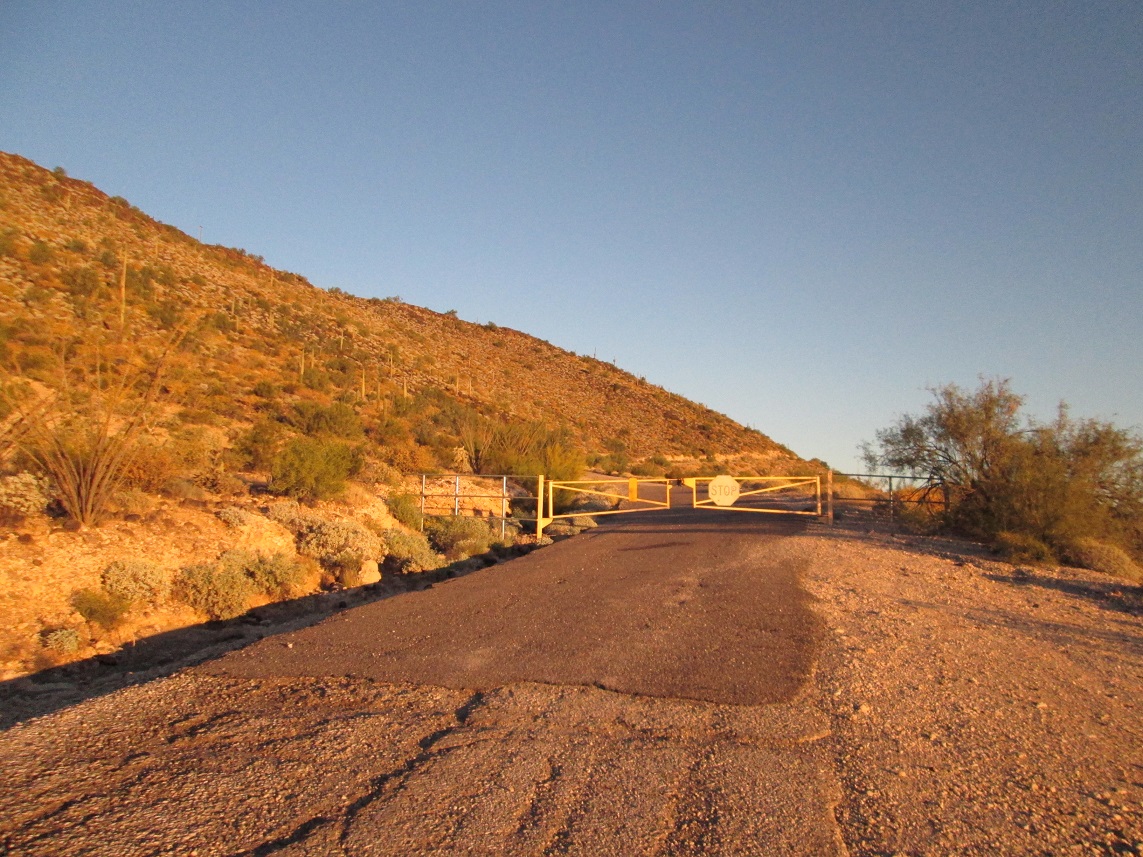
The gate at about 1,700 feet elevation
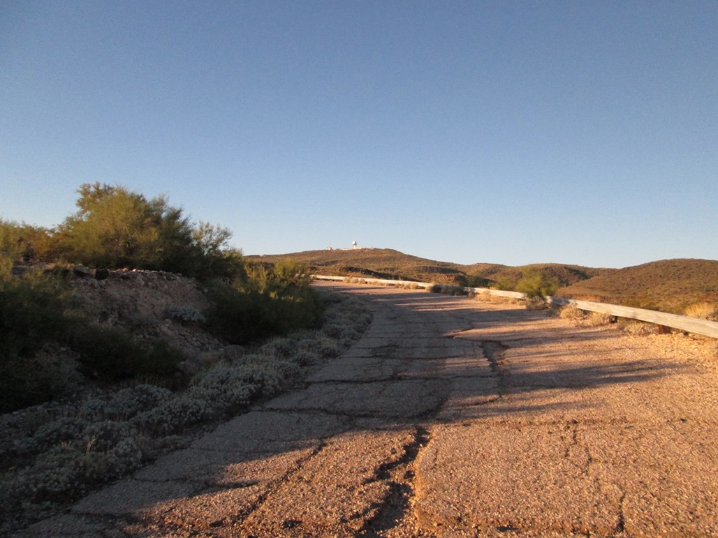
Rounding a bend, the summit is visible
The "middle flat area" where the old military cantonment was located. I think it was actually ahead, where the road goes up then bends right
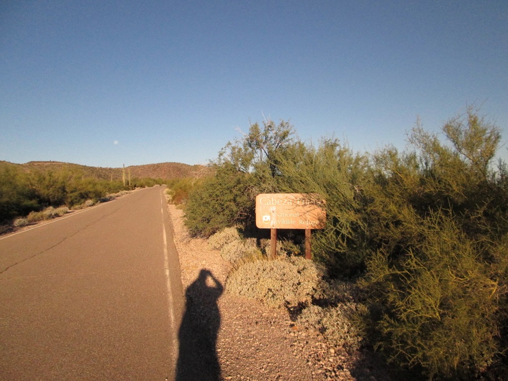
The Cabeza Prieta boundary
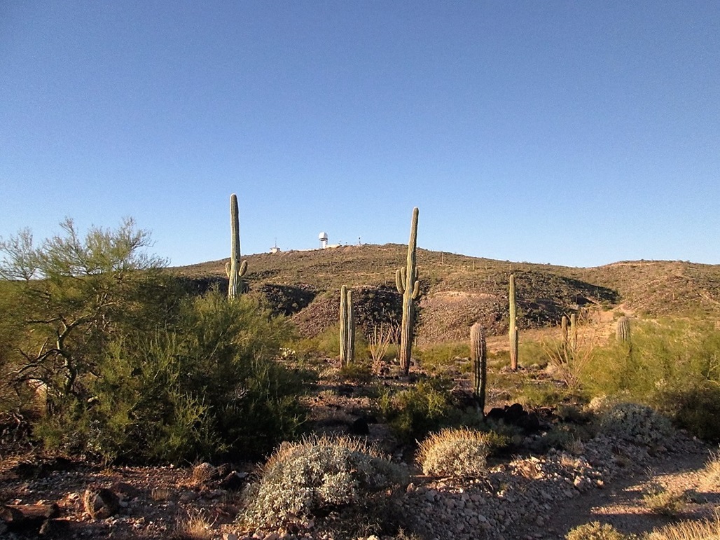
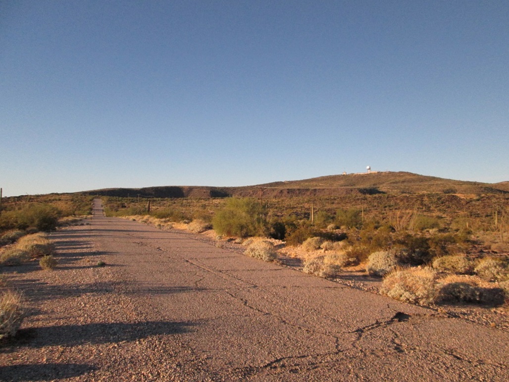
The summit is getting closer
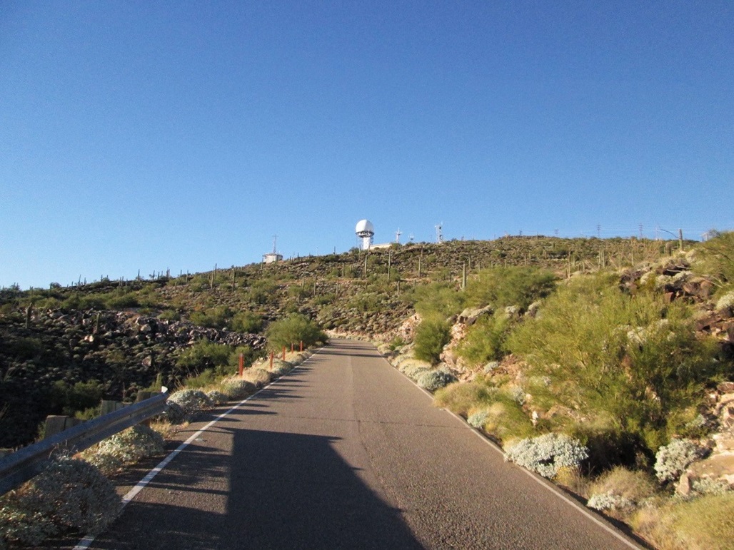
and closer
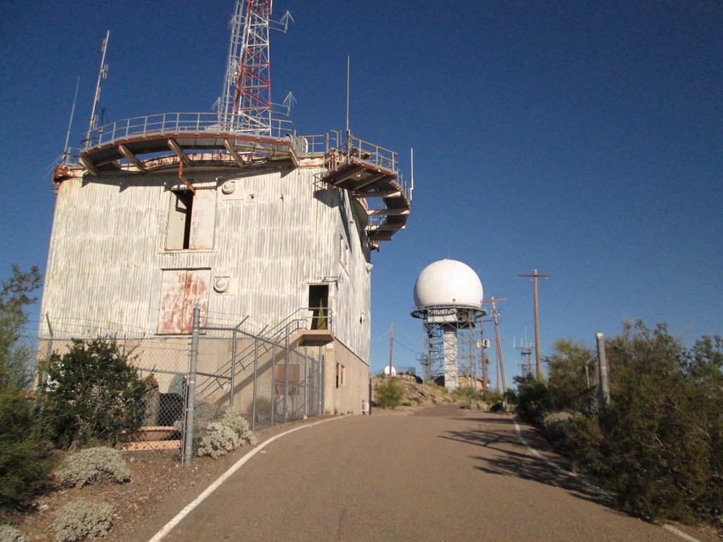
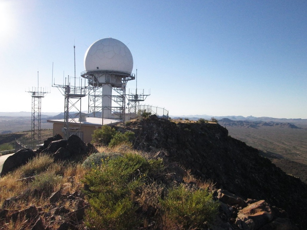
The front building is the older military radar that was abandoned about 1970. In back is the FAA radome
On the summit ridge. The highest rock (to me) is abutting the fencing near the dome
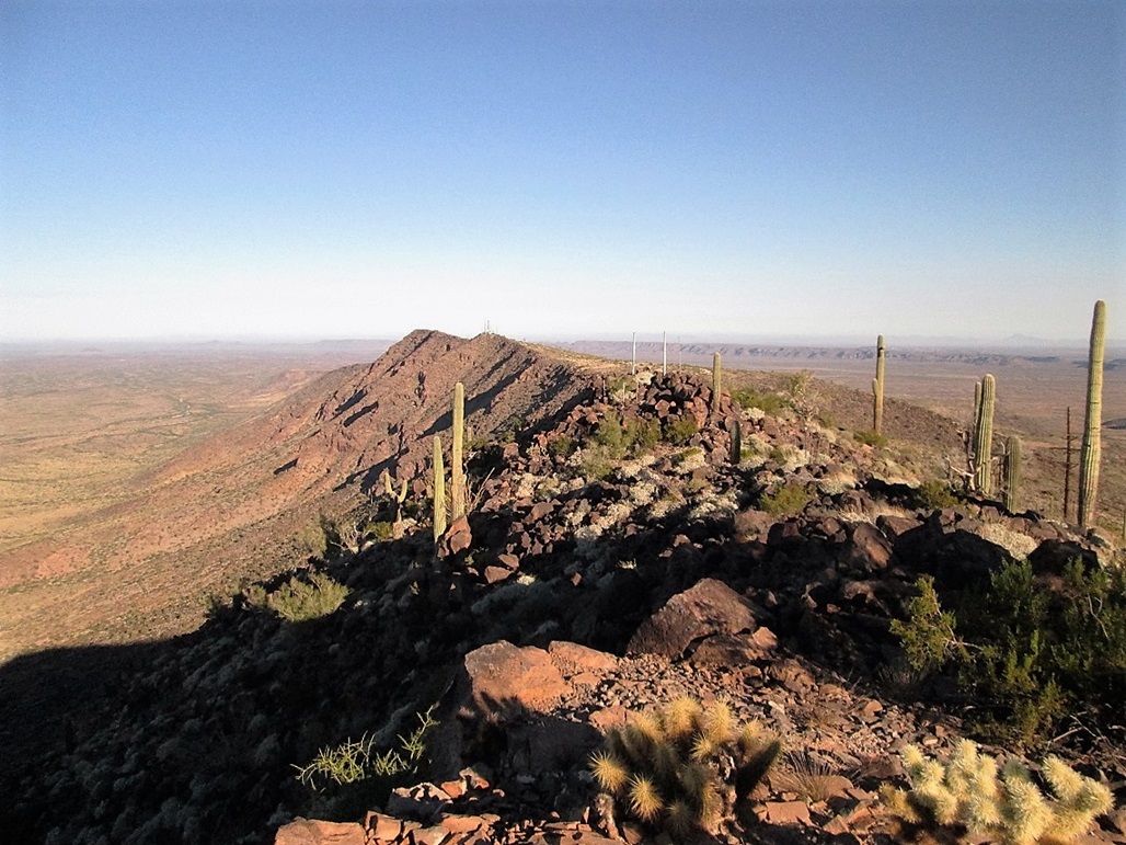
Looking north at Snead and Larue summits
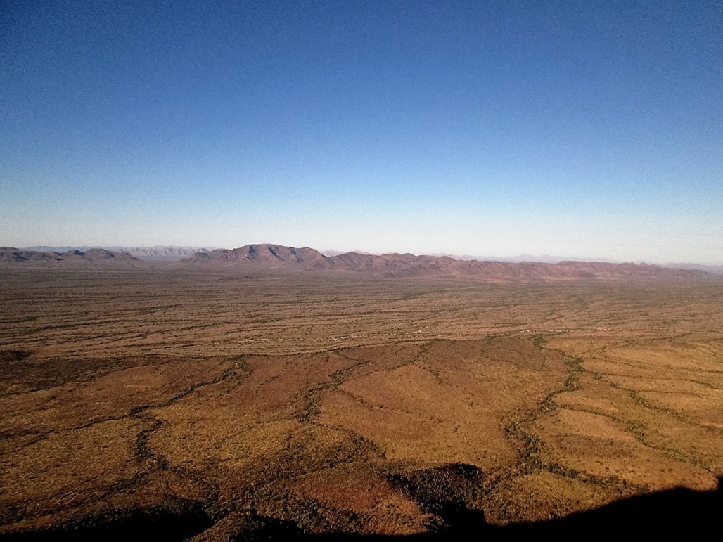
Looking west at the Growler Mountains, Charley Bell Pass, and way in back, the Granite Mountains
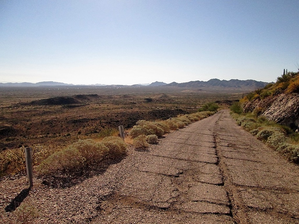
Walking down the road, my truck is barely visible in the bend ahead. Ajo's buildings can also be seen
Arizona Page • Main Page • Trip Report
Mobile version (c) 2017 Scott Surgent. For entertainment purposes only. This report is not meant to replace maps, compass, gps and other common sense hiking/navigation items. Neither I nor the webhost can be held responsible for unfortunate situations that may arise based on these trip reports. Conditions (physical and legal) change over time! Some of these hikes are major mountaineering or backpacking endeavors that require skill, proper gear, proper fitness and general experience.