
Peaks & Highpoints of Virginia
www.surgent.net |
| Rocky Mountain |
• Highpoint: Rockbridge County • Probable Highpoint: Amherst County • George Washington National Forest • Blue Ridge |
 Rocky Mountain, VA
|
Date: May 18, 2008
• Elevation: 4,072 feet
• Prominence: 2,272 feet
• Distance: 1.5 miles
• Time: 45 minutes
• Gain: 500 feet
• Conditions: Pleasant
Main
•
PB
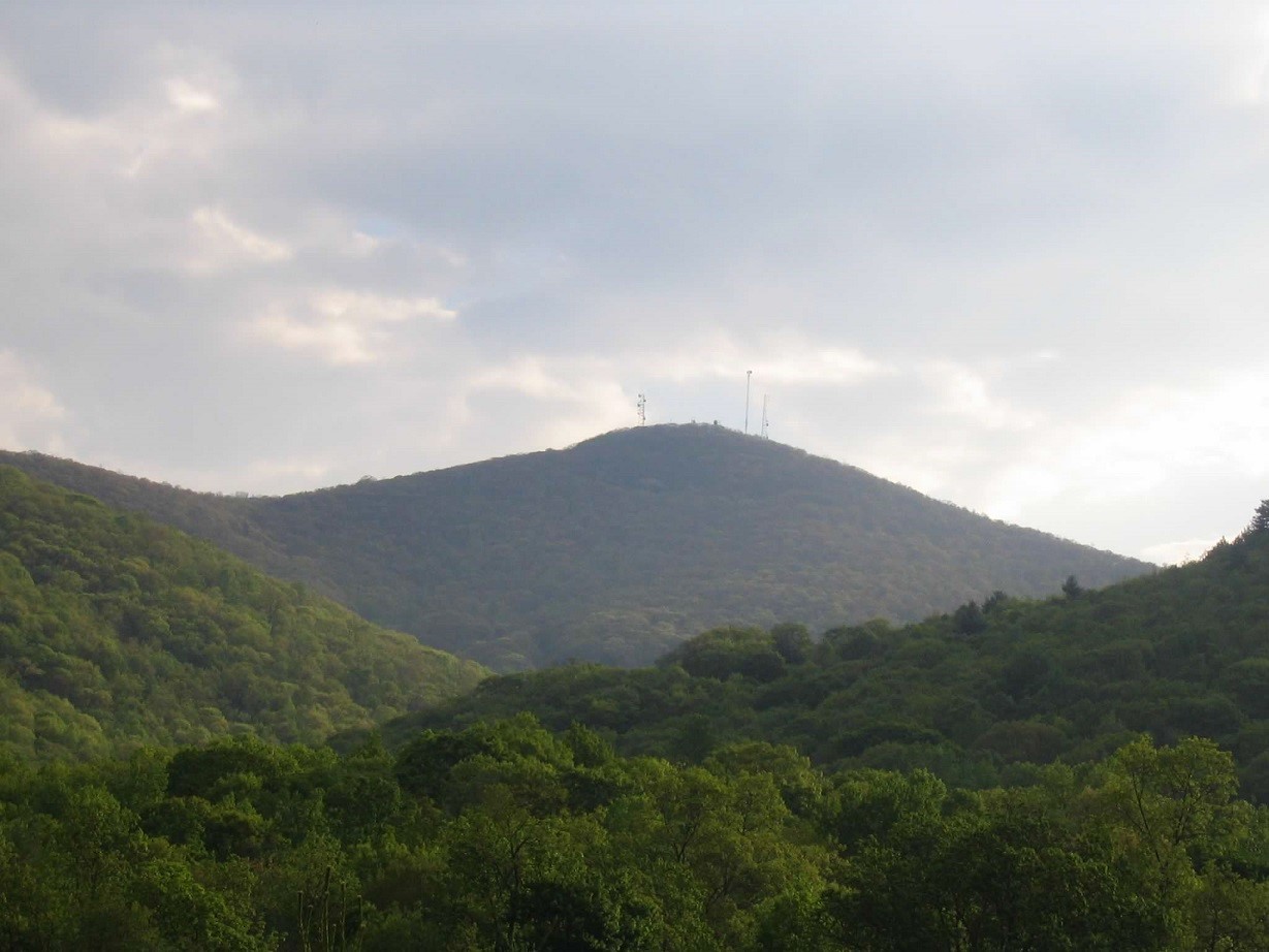
Rocky Mountain is one in a grouping of peaks with similar elevation clustered together on the Blue Ridge Range, between Lexington and Amherst along US-60 and the Blue Ridge Parkway. Rocky Mountain itself sits on the Rockbridge-Amherst County Line and is the highpoint of Rockbridge County, and possibly the highpoint of Amherst County. Some nearby hills in Amherst County come within feet of Rocky Mountain's elevation, too close to call. I did not visit these on today's trip.
From our hotel in Buena Vista, I got rolling slightly after 6 a.m. in pretty morning sunlight and high clouds, knowing that another front was expected to move through soon. I drove US-60 up and over the crest of the Ridge then down another 8-9 miles to Coffeytown Road (Amherst CR-634). I followed Coffeytown Road north through the countryside and past homes and pastures for 4 miles to a T-junction, where I went right. The pavement ends another couple of miles near a big fenced pasture.
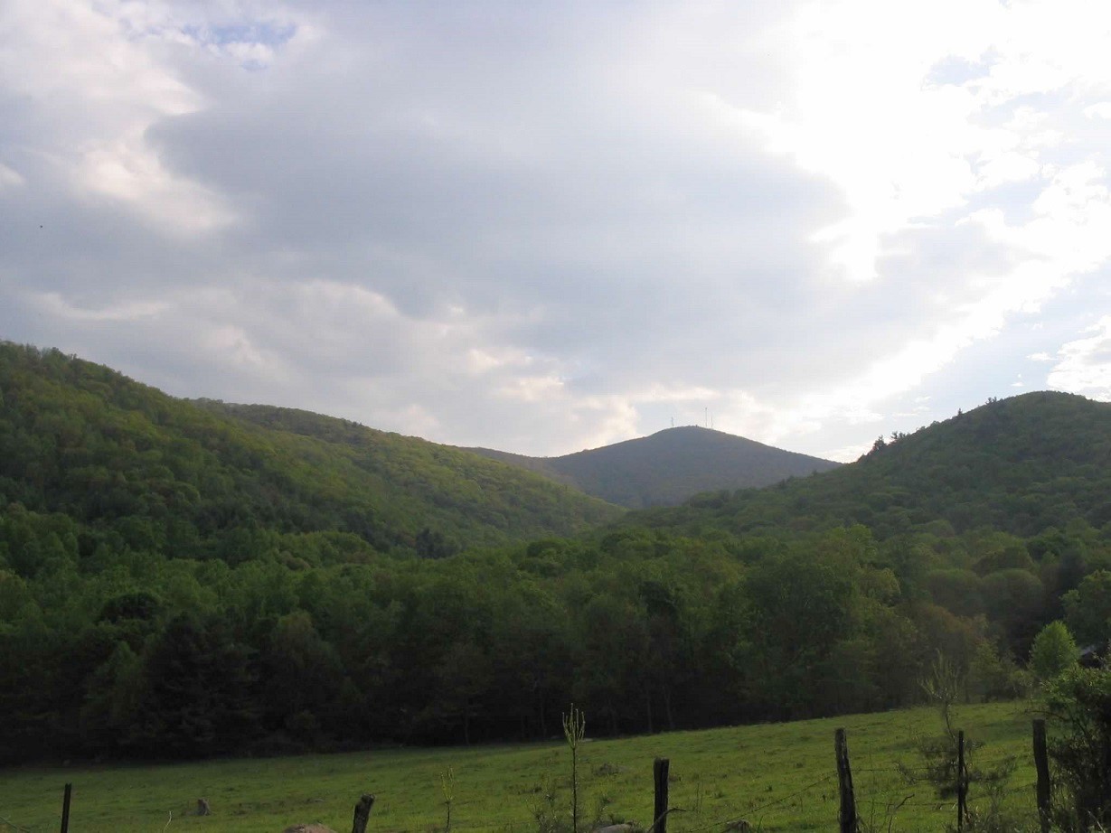
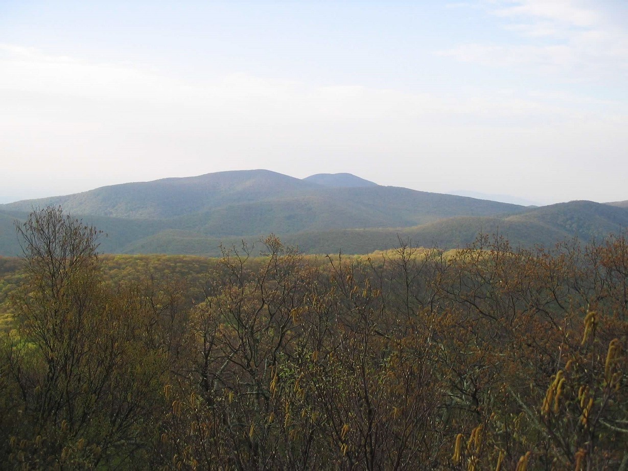
The sun was still low in the east and Rocky Mountain's symmetrical profile came into view between lower foreground peaks. The road, now gravel, is signed as Forest Road 63 and leads another couple of miles up to a four-way junction called Salt Log Gap. To here the road was pretty good and our little "mid-size" passenger vehicle did fine.
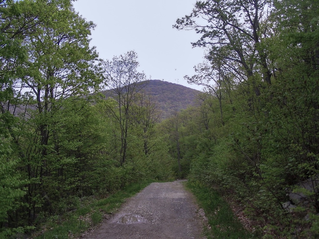
The road north leads toward Rocky Mountain. The condition of this road was a notch below that of the main road in quality, so I eased the car onto it and took it slow. Previous rains had left muddy sections and standing water, but other obstacles were few and as long as I went slow, I did fine. About a mile later, I parked at a junction and walked the rest.
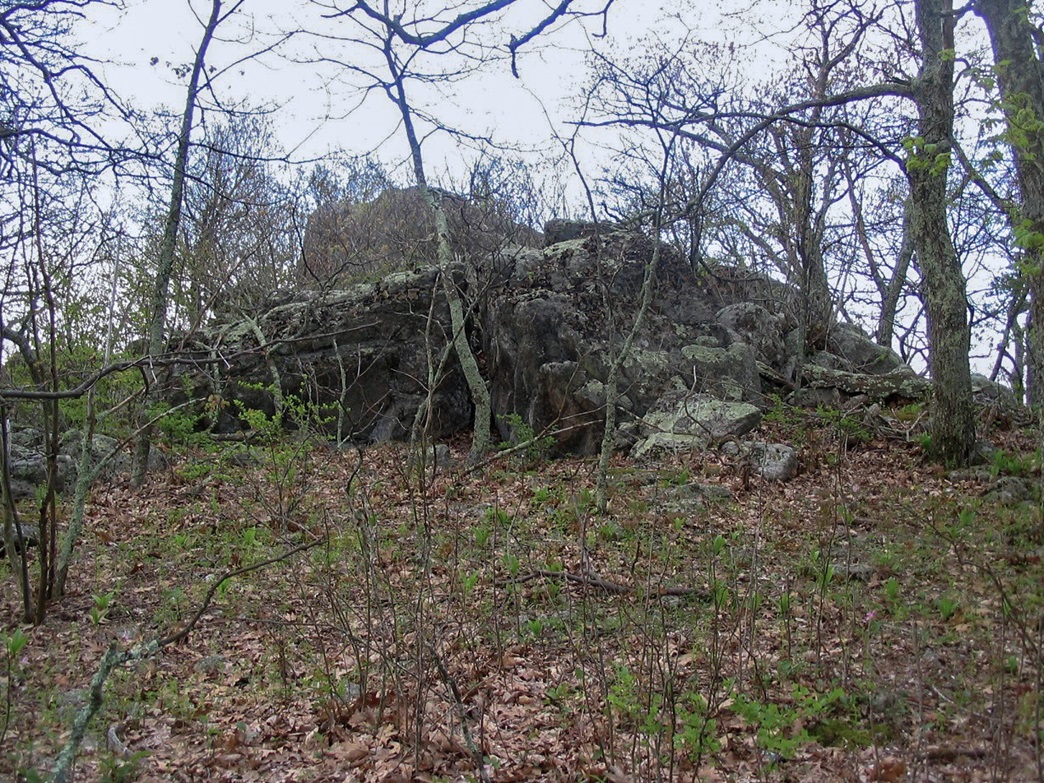
The hike covered three-quarters of a mile and gained 500 feet along the road, which goes all the way to the top and is there for the vehicles that service the towers. On my visit there was no one around, and within twenty minutes I was up top. The highpoint is an outcrop of rocks on the east end of the towers.
I climbed up the backside and took in the view of trees mostly, but open and nice to the south. The twin summits of Pompey and Pleasant Knobs were the most visible peaks in the distance. I was only on top a few minutes. The hike down took me 15 minutes for a total round trip of 45 minutes. The drive back to Buena Vista went quick and I was gone for a total of about two and a half hours.
|
|