
Peaks & Highpoints of Virginia
www.surgent.net |
| Kyles Mountain |
• Highpoint: Appomattox County • Virginia Piedmont |
 Start of the hike
|
Date: May 16, 2008
• Elevation: 1,161 feet
• Prominence: 401 feet
• Distance: 2 miles
• Time: 1 hour
• Gain: 300 feet
• Conditions: Misty and rainy
Main
•
PB
We were staying in Buena Vista, near Lexington. Today was fixing to be one of the wetter days, and that prompted me to look at a couple lower-elevation highpoints farther out from Buena Vista.
On the list for this morning were the Appomattox County highpoint at Kyles Mountain, and for a chaser, the Prince Edward County highpoint a few miles south. Leaving Buena Vista before 6 a.m., I drove east along US-60 down from the mountains and onto the gentler, lower elevation foothill ("piedmont") regions. The weather was drizzly but not terrible. The scenery was quite lovely and rural. I enjoyed the drive very much.
Eventually, I worked my way toward Kyles Mountain, leaving US-60 at Virginia State Route VA-24. I entered into Appomattox County, then drove a lesser paved road a couple of miles to put me east of the little hill. This area is low rolling hills, most of it heavily forested. I seemed to be apart from any residences, which was good, although I didn't sense access was restricted.
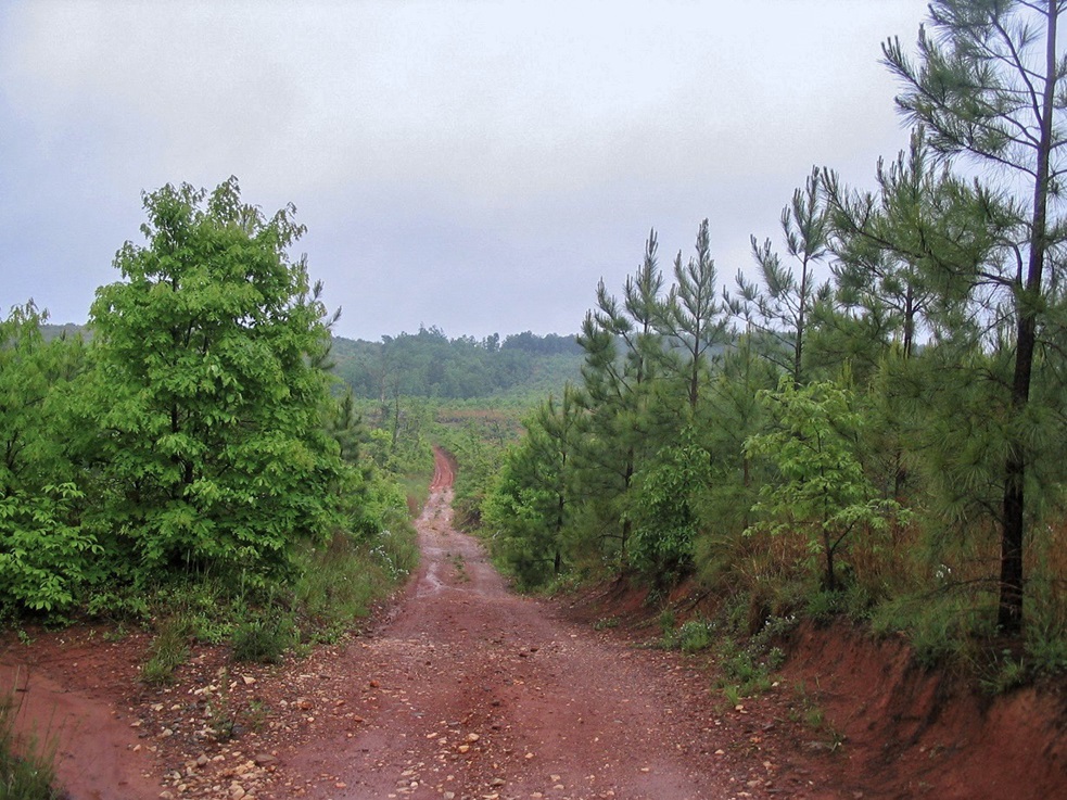
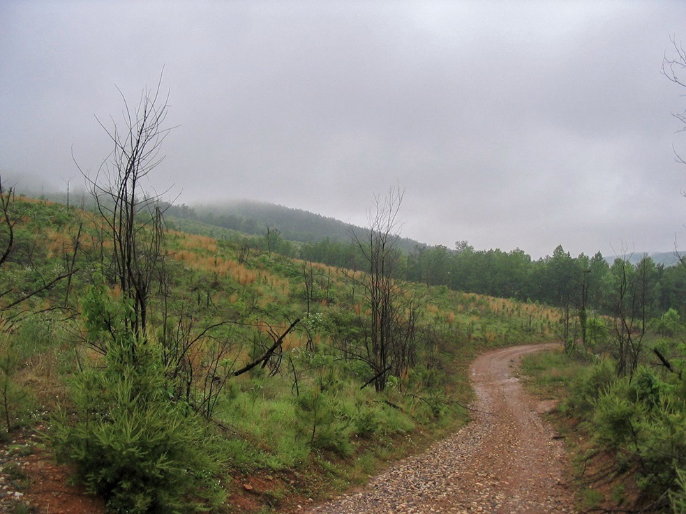
The route to Kyles Mountain follows a dirt logging road, and runs about one mile each way. I started hiking at 7:45 a.m. in foggy, misty conditions. A new gate spans the dirt road from where I parked, but despite its new-ness, the gate had minor vandalism damage. I suspect this is a popular hangout for bored local teens with beer.
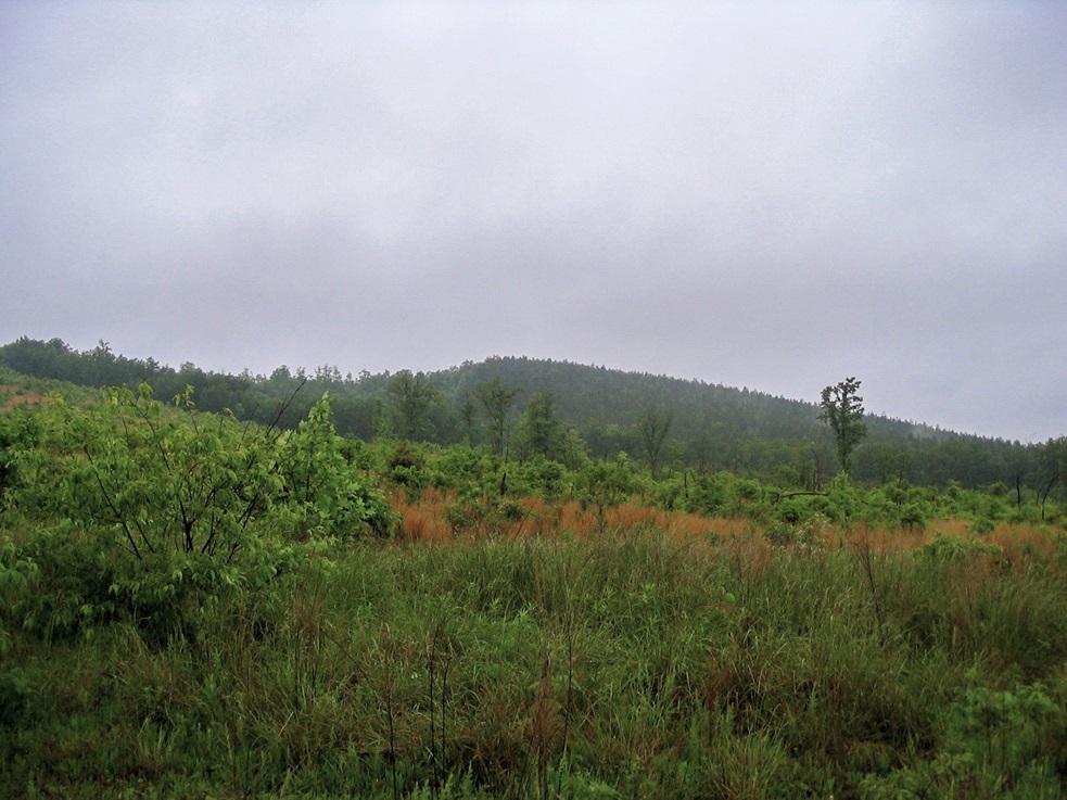
Moving quickly, I followed the road as it descended about 60 feet to a low-point, then bent slightly left to where the road met with another road, this one along the main "ridge" and going north-south. Most of this stretch of hiking was open, the region having been logged within the last couple of years. The new saplings were still fairly small and immature. But now on the main ridge, I started to enter into more mature stands of growth.
I hiked north about another half-mile to the highest hill, the summit of Kyles Mountain. As expected, the summit is wooded with no views, but it is well-defined and I spent a couple minutes here inspecting the area. The one-way hike had taken just 20 minutes.
On the hike out, I came upon a "Posted: No Trespassing" sign. It was facing the other way and I would not have seen it coming up. Well, a lot of good that does me now, right? It was still early in the morning on a foggy weekday, so I was not expecting anyone to come by or hassle me.
I walked out in 20 minutes, my total time apart from the car less than an hour. It had been a reasonably nice morning stroll. The fog hindered views, but probably helped keep me invisible. The usual bane of rural highpoints, barking dogs, did not notice me in the fog. I heard no barking.
After the hike, I drove into the town of Appomattox, where the surrender of the Confederates took place to the Union Army in 1865, ending the Civil War. However, lazy me, I just drove by the buildings. I stopped in town for gas and snacks, then drove south to Lyle Mountain, the Prince Edward County highpoint.
Date: May 16, 2008 • Elevation: 780 feet • Prominence: 140 feet • Distance: 0.1 mile • Time: 5 minutes • Gain: 5 feet • Conditions: Calm
PB
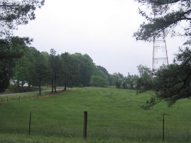
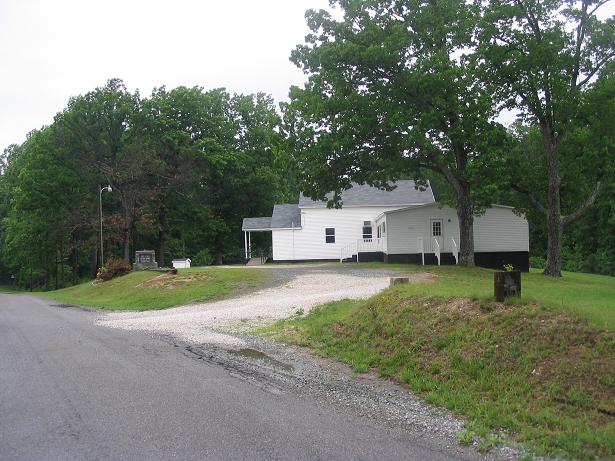
From Appomattox, I followed US-460 to Pamplin City, then south along VA-47 to local County Roads 691 and 662 to the highpoint. The road bisects the "summit", on which sits the Lyle Mountain Baptist Church. I parked near a tower pull-out and walked back to a small hill near the church entrance. And on that hill, believe it or not, is a benchmark. I'm sure the church people get a kick out of it, too. There is a small sign for "Lyle Mountain Church" on VA-47 just before the first turnoff.
There was some slight drama. I had pulled onto a side road to snap a photograph but had inadvertently parked right near what I thought was a side gravel road but was in fact someone's driveway. They came out to go about their business for the day in their truck, but stopped to watch me, wondering what I was up to. They didn't get moving until I did, so I drove away in the wrong direction for a few minutes until I knew they were gone, then drove back.
|

|